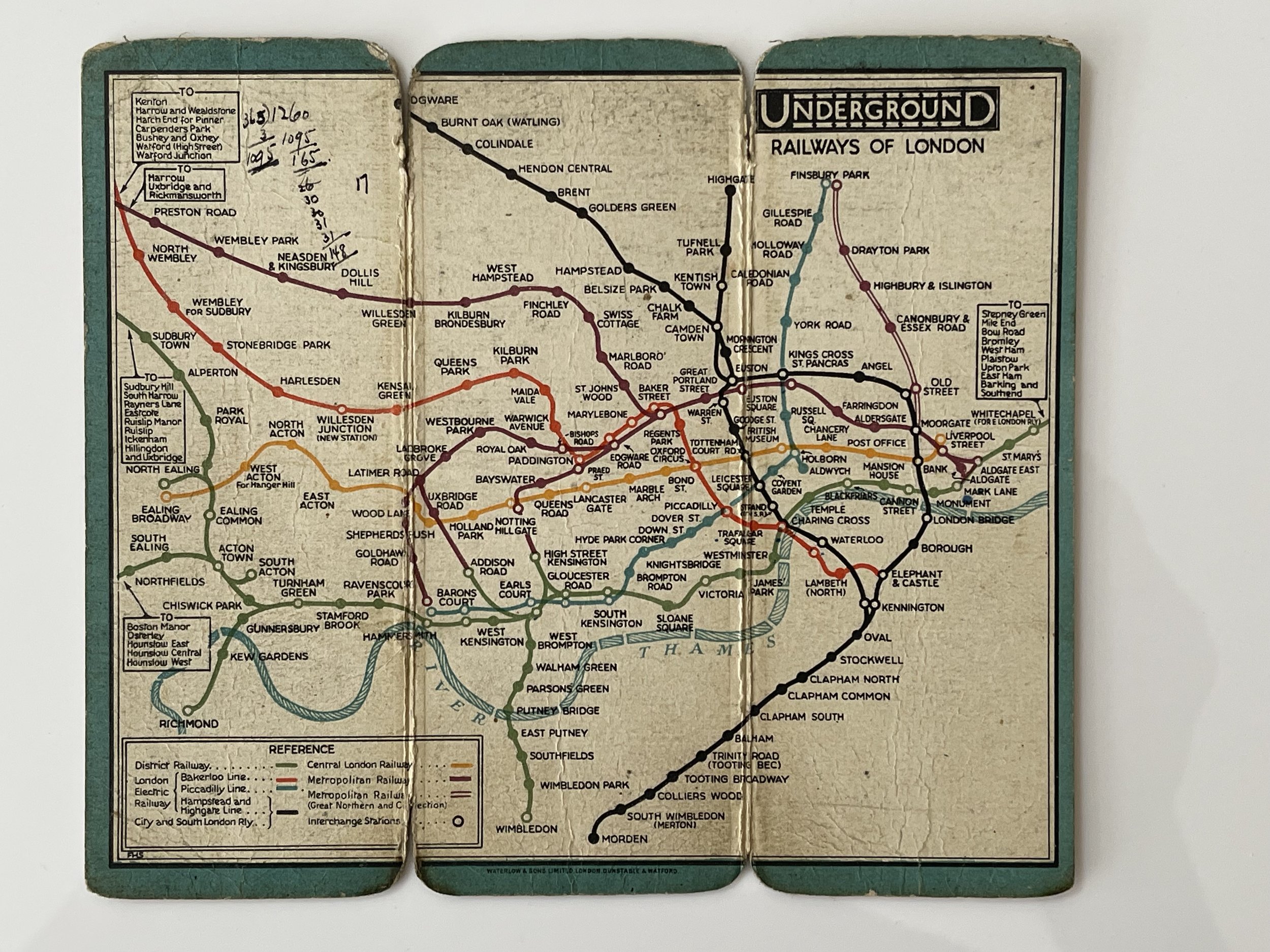
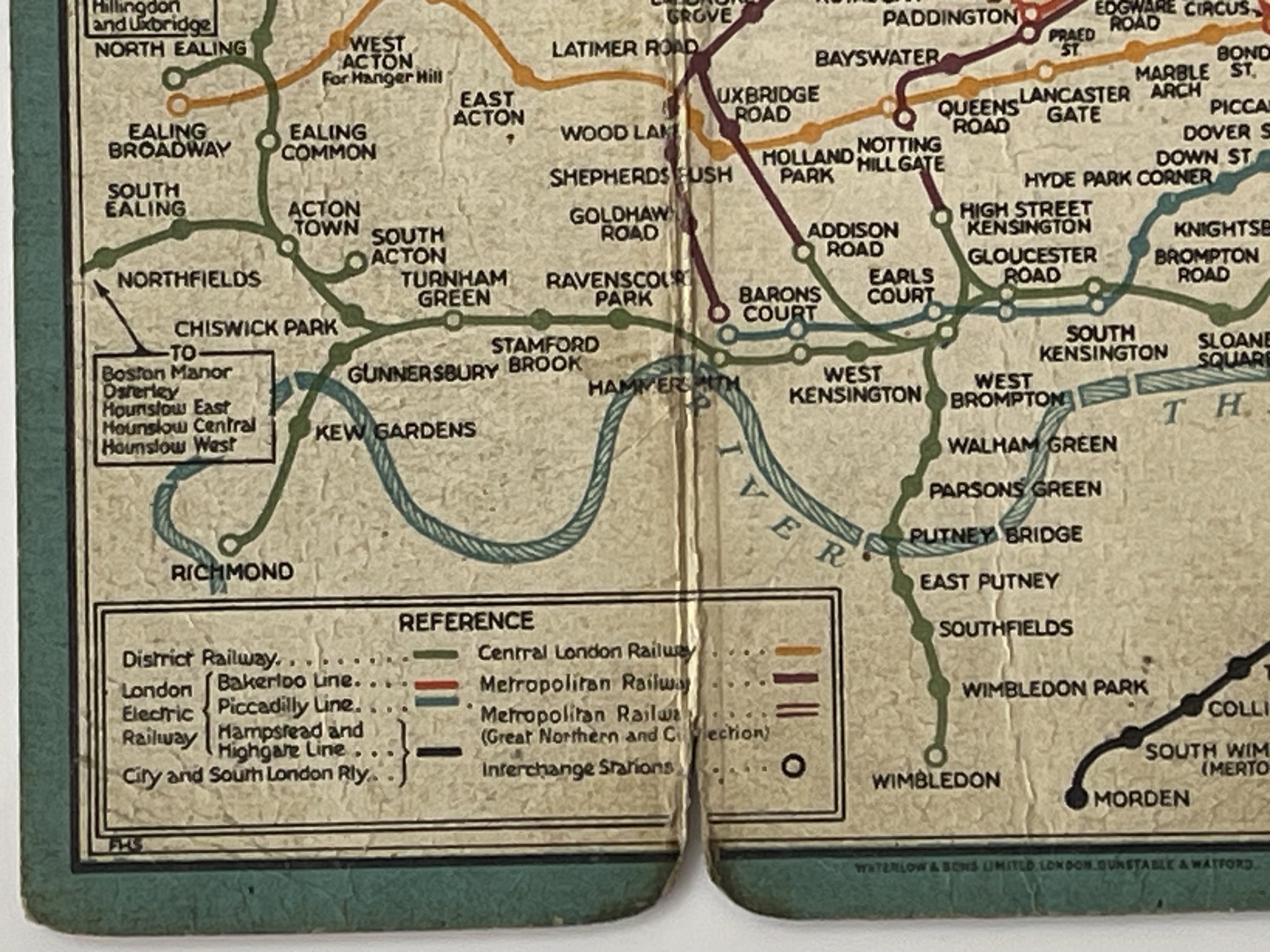
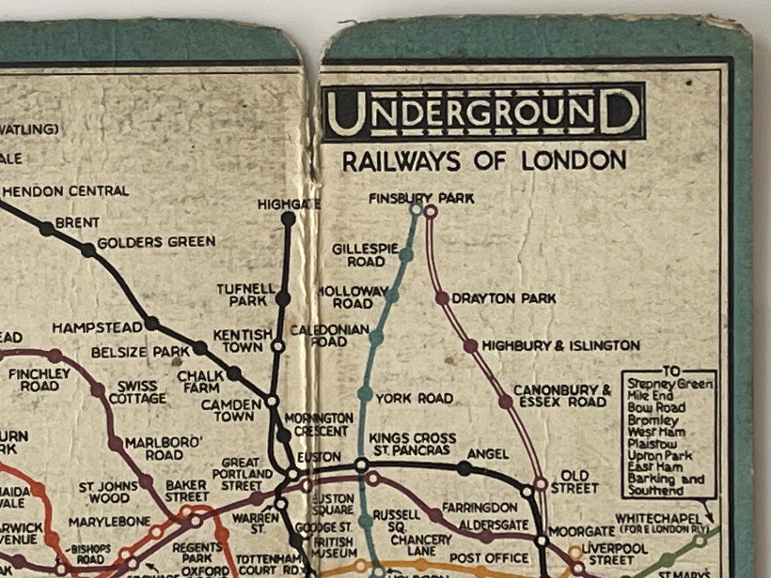
London Underground Frederick H Stingemore Map - 1928
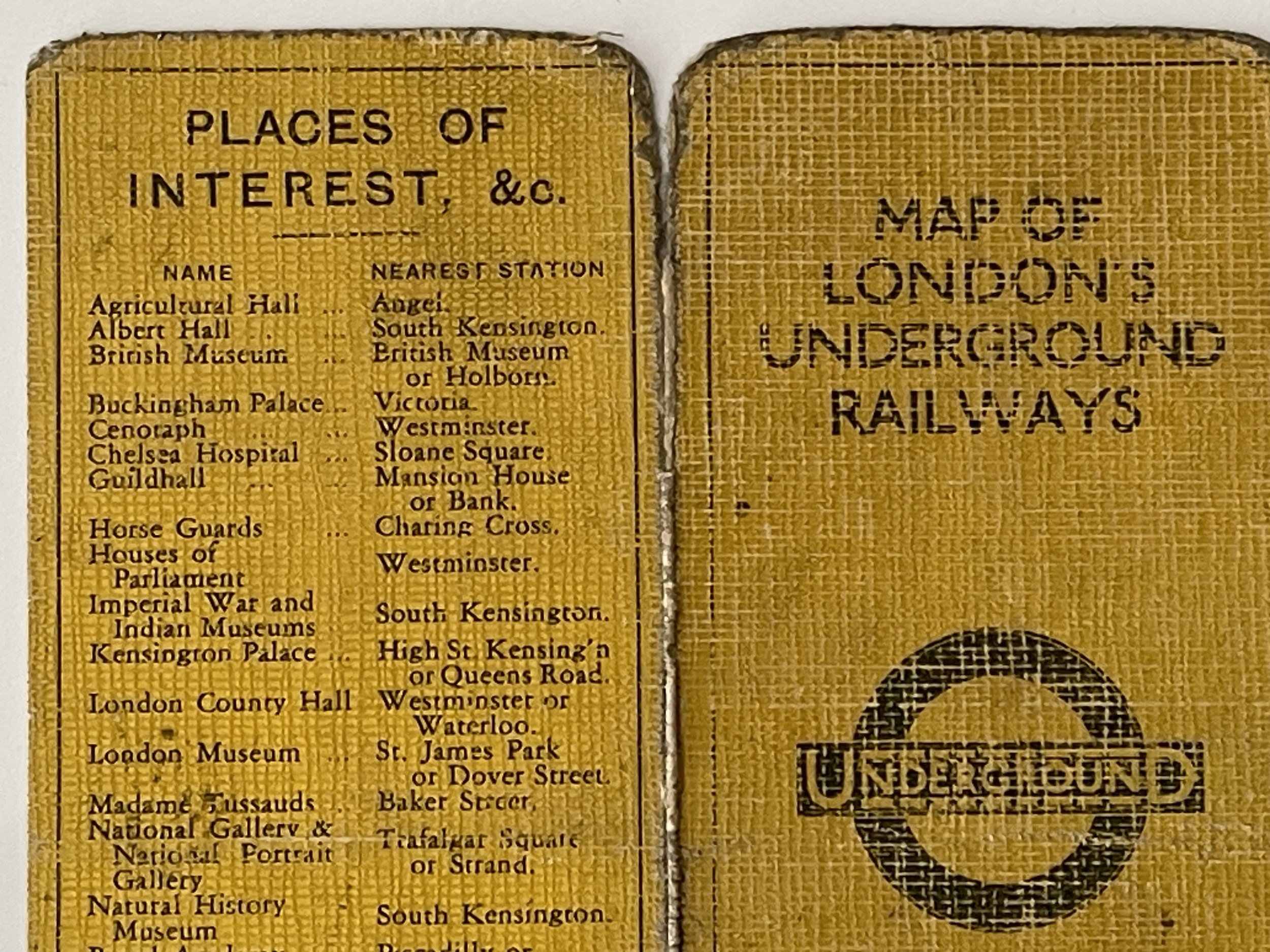
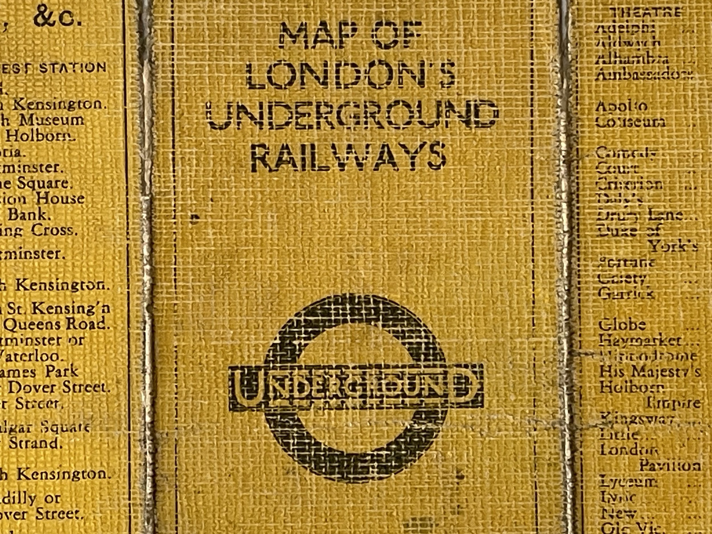
Map Of London's Underground Railways
London Underground Fred H Stingemore Map - 1928
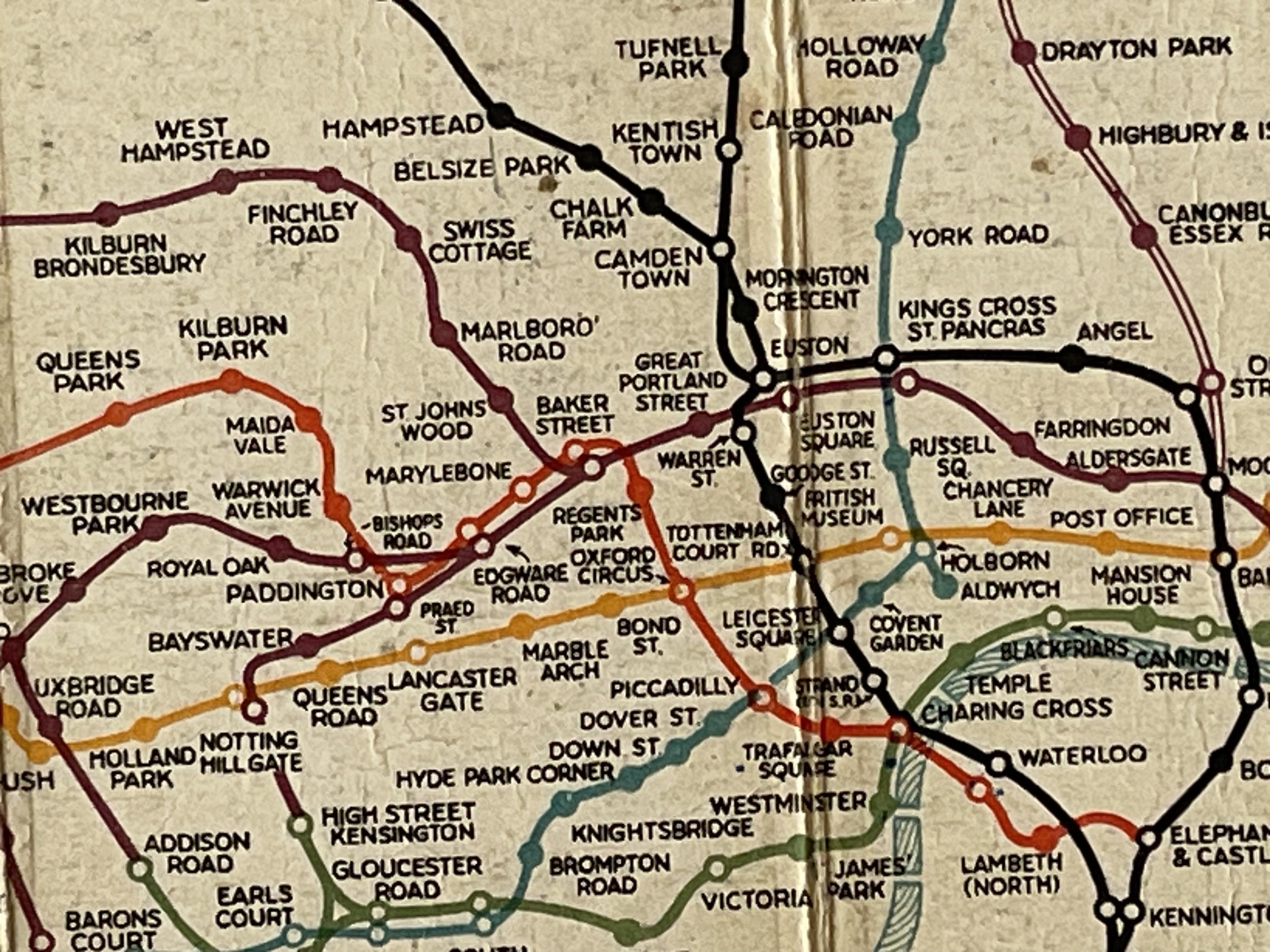
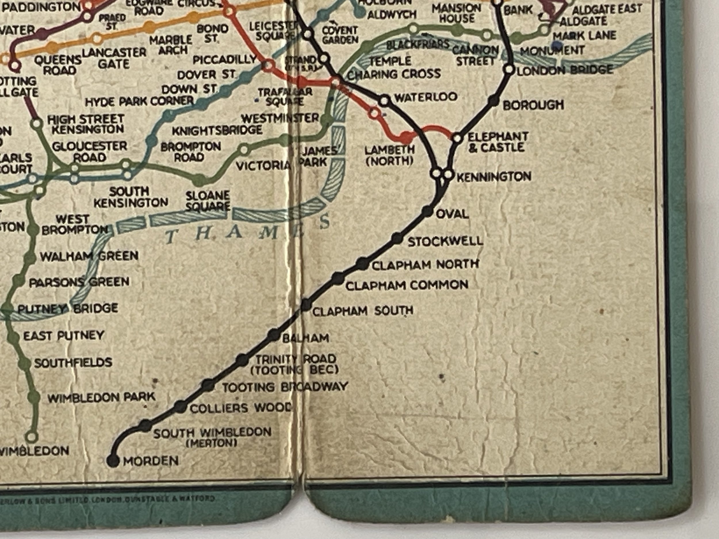
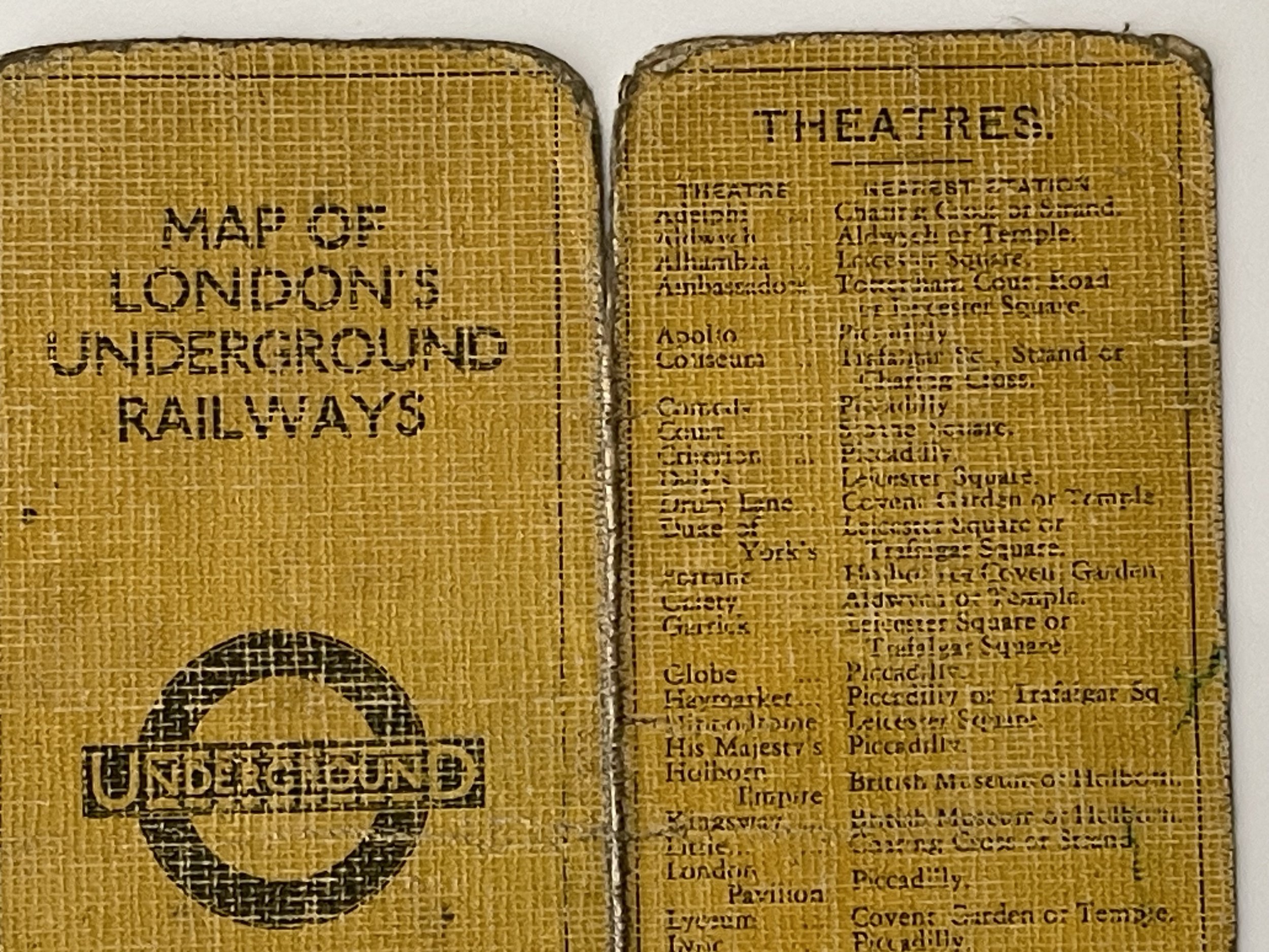
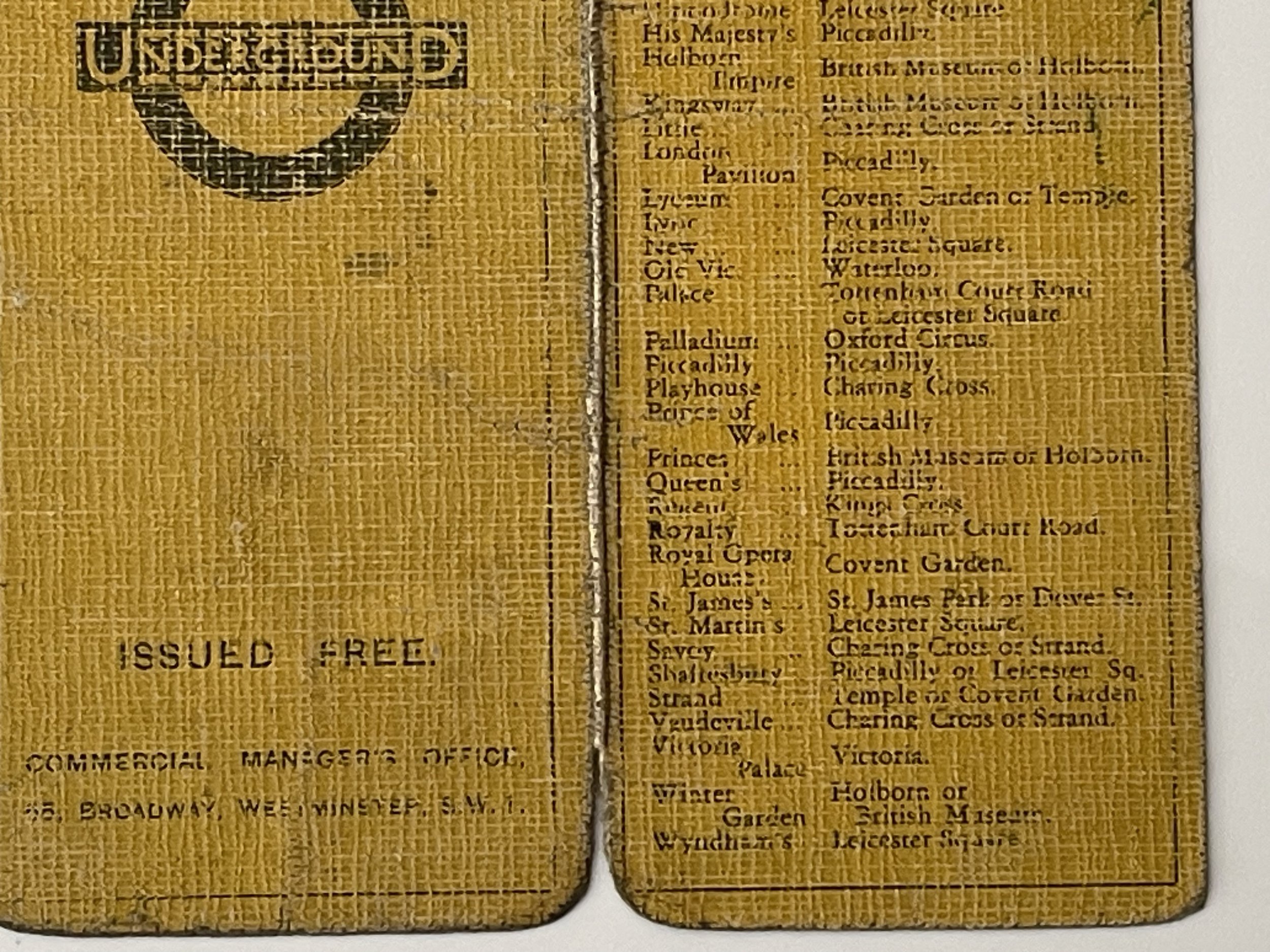
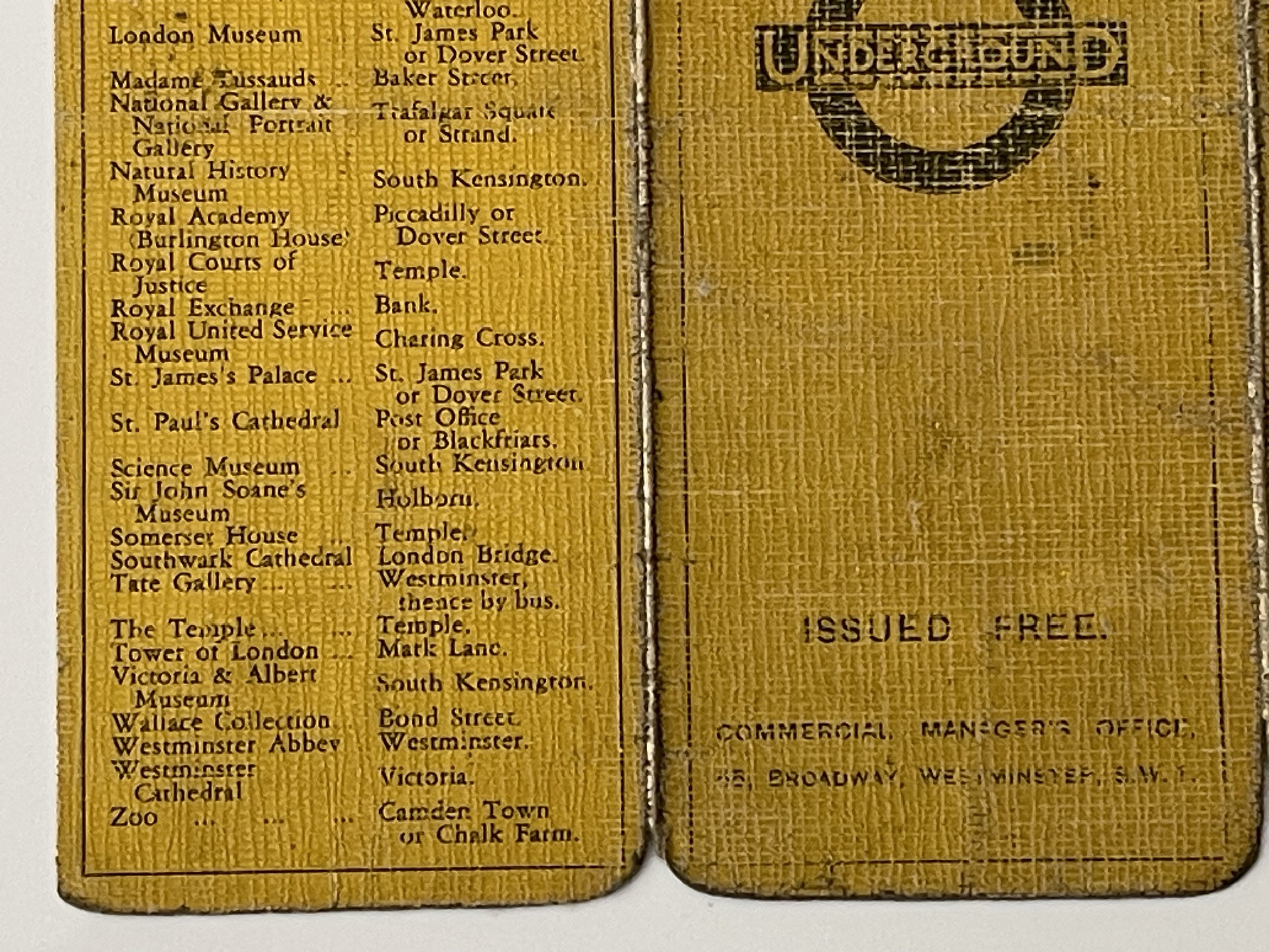
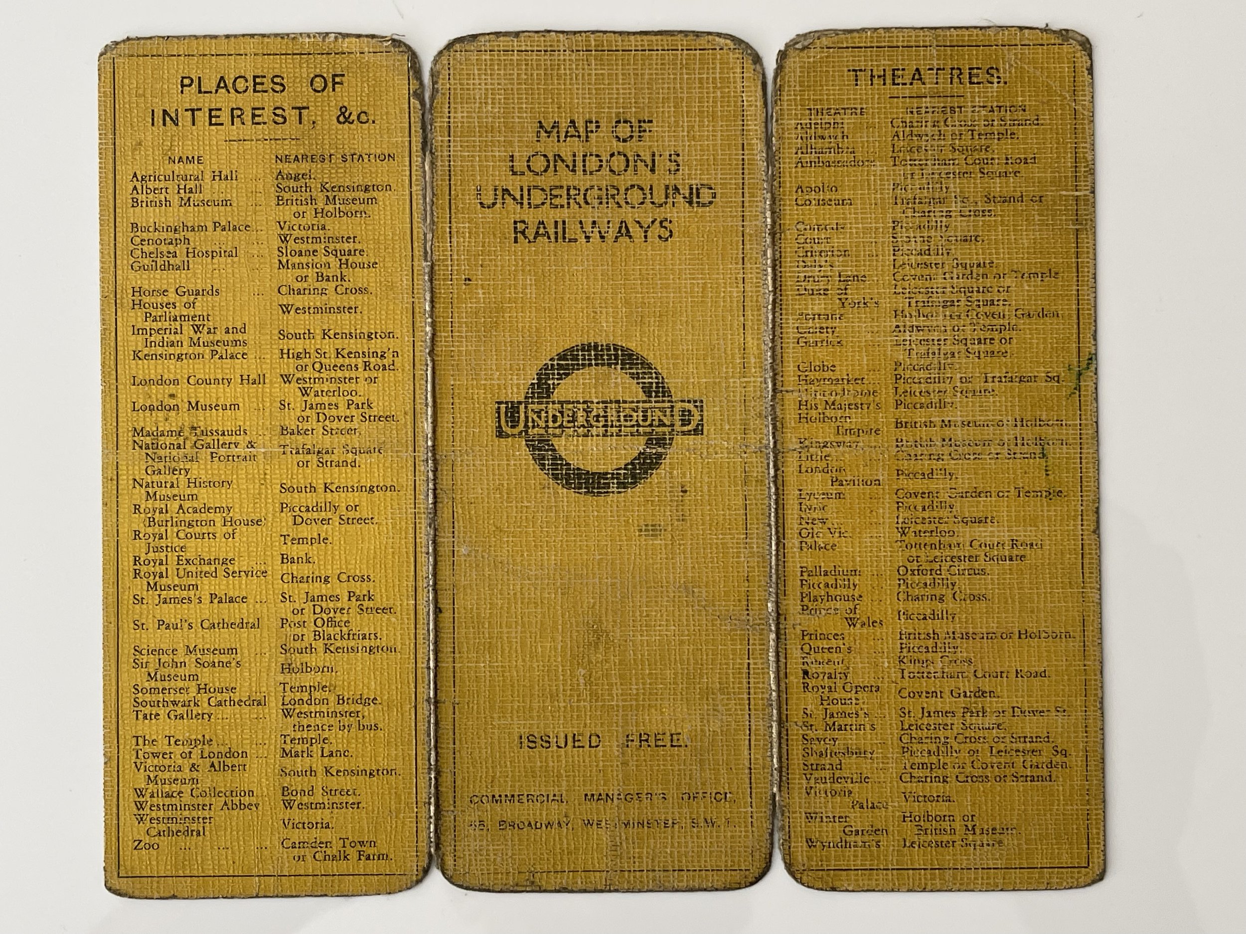
This edition of the Stingemore pocket map has the Central London Railway line in Orange. More space has been used to show the Central area lines and to give more room for the Station names and only a few stations now show the initials of the mainline services from that station. Kennington Station has lost the suffix (New St) and West Acton now has the suffix 'for Hanger Hill'. Headstone Lane Station is not shown in the list of stations that go beyond North Wembley on the Bakerloo line. The reverse of the map is yellow coloured linen, with details of stations for places of interest and theatres. The date of this map is assumed to be 1928 instead of 1929 as stated in "London Transport Maps" by Burwood & Brady, because in the next edition of the map the station names are printed in the line colours, therefore on this evidence the dates of the c1928.
Stingemore's work was clever, but its impact was far from earth-shattering: the Underground Electric Railways Company of London (UERL), which operated the tube, continued to publish large geographical maps alongside handy pocket-sized copies of his diagram. The man who created the tube map we know today was Harry Beck.
Although hard to find and one of the more collectable hessian backed editions, this map is well thumbed and does have some ink writing as shown. Pricing and grading commensurate.
Code : A1072
Cartographer : Cartographer / Engraver / Publisher: Underground Electric Railways Company of London (UERL)
Date : Publication Place / Date - 1928
Size : Sheet size: approx 14.2 x 16.6 Cm
Availability : Available
Type - Genuine - Almost Antique
Grading B+
Where Applicable - Folds as issued. Light box photo shows the folio leaf centre margin hinge ‘glue’, this is not visible otherwise.
Tracked postage, in casement. Please contact me for postal quotation outside of the UK.
