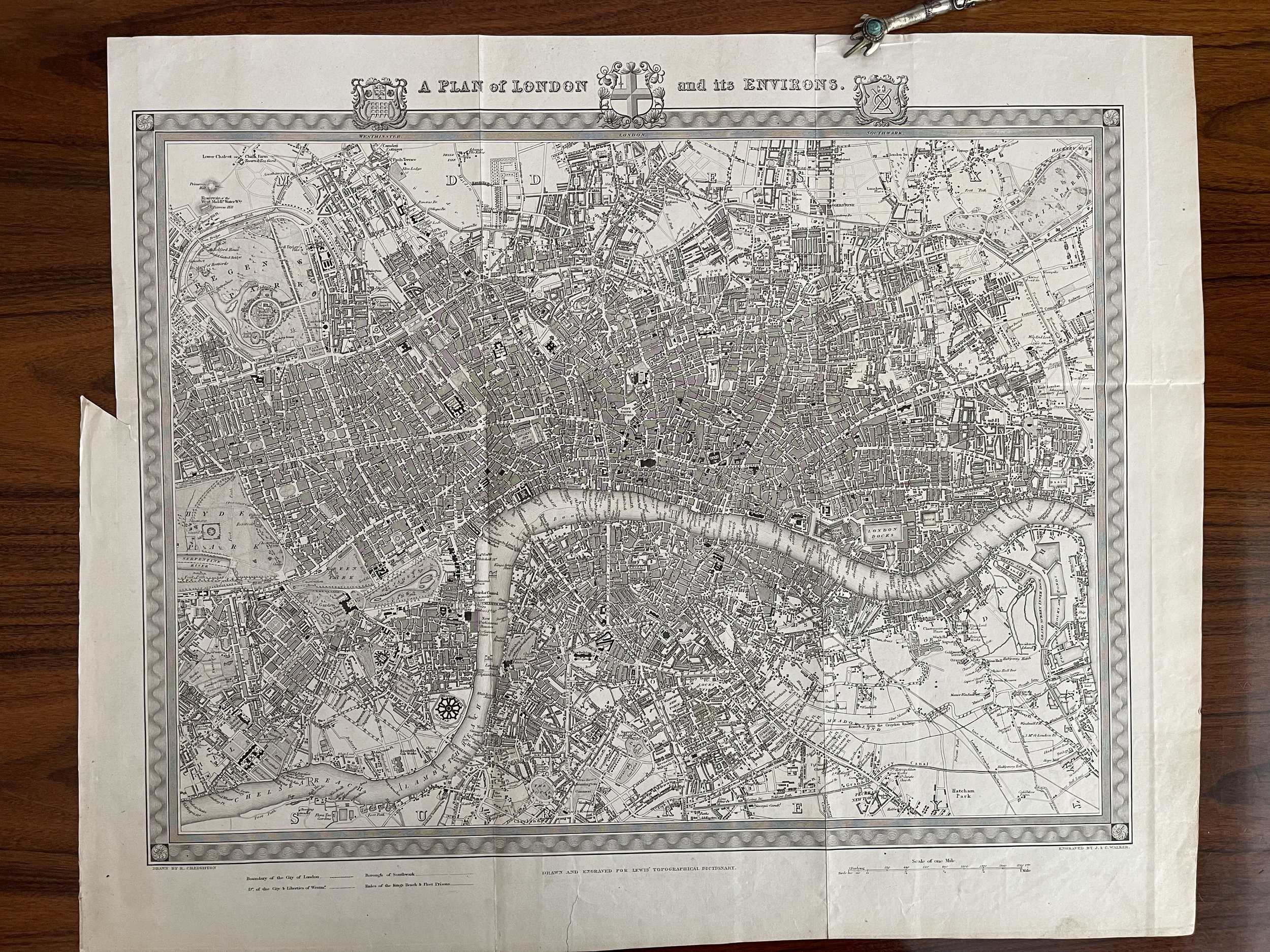


A Plan of London and its Environs - Richard Creighton / J. & C. Walker - Circa 1834
'A PLAN of LONDON and its ENVIRONS.' by R. Creighton / J. & C. Walker / S. Lewis
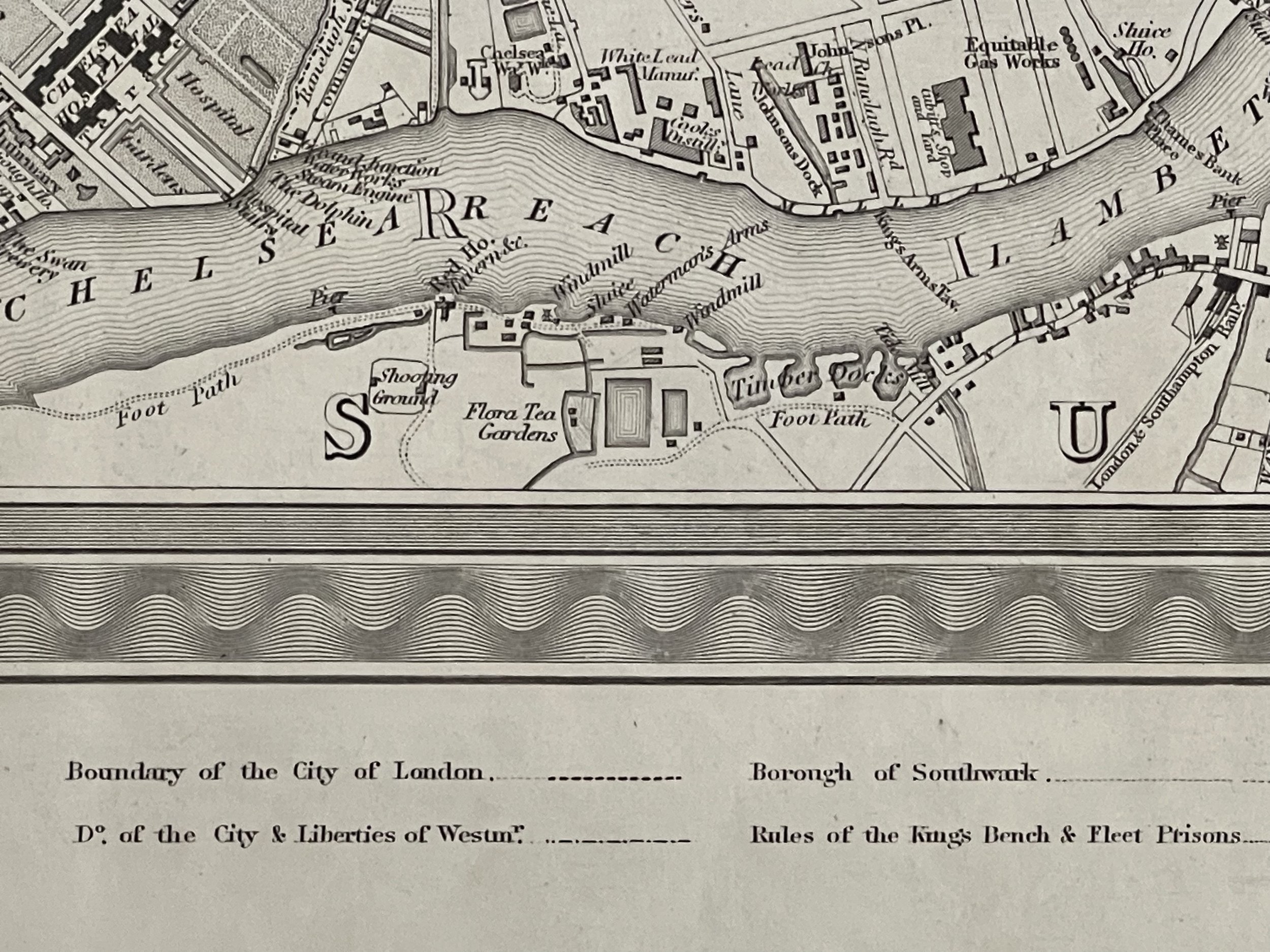
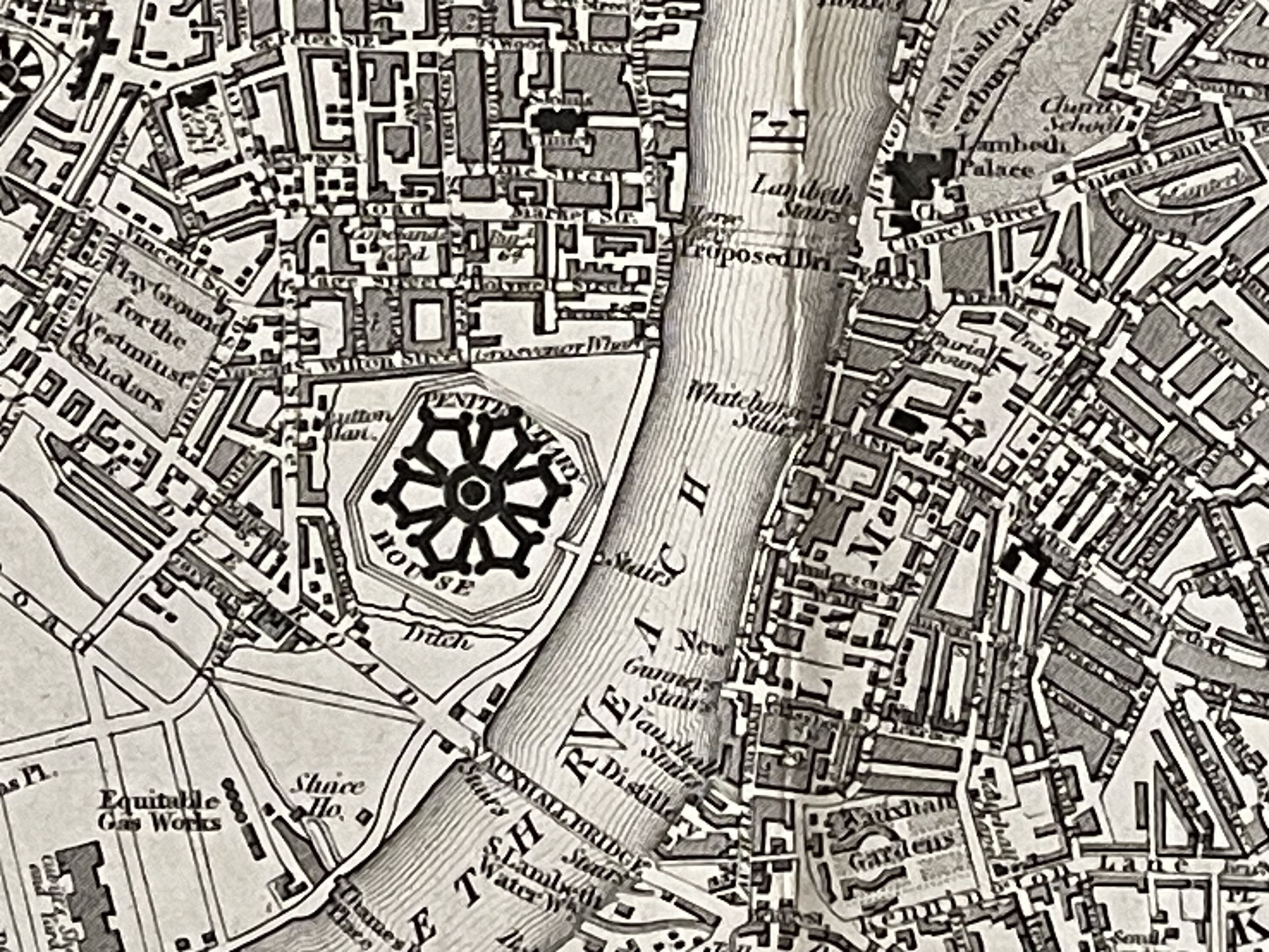
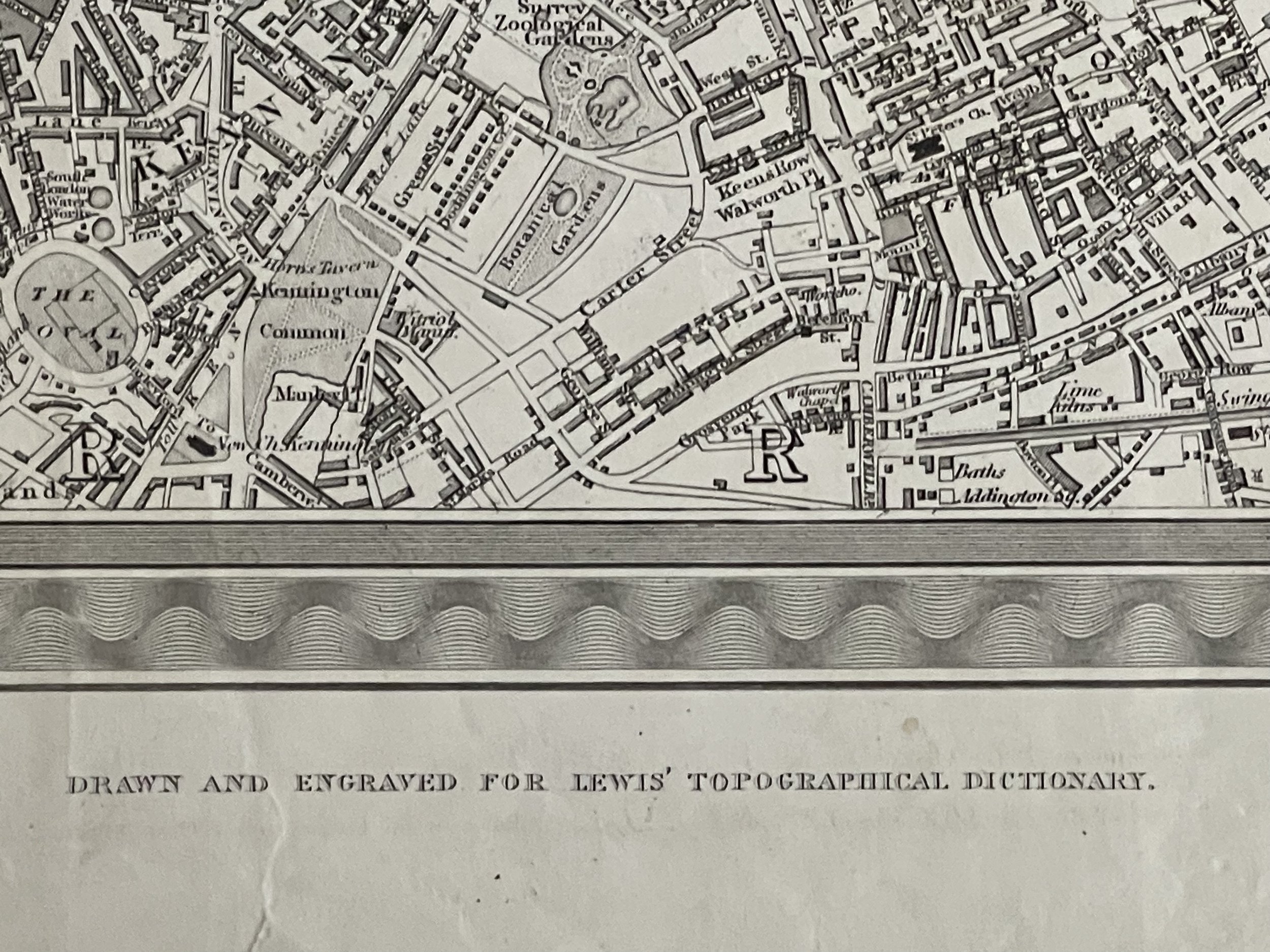
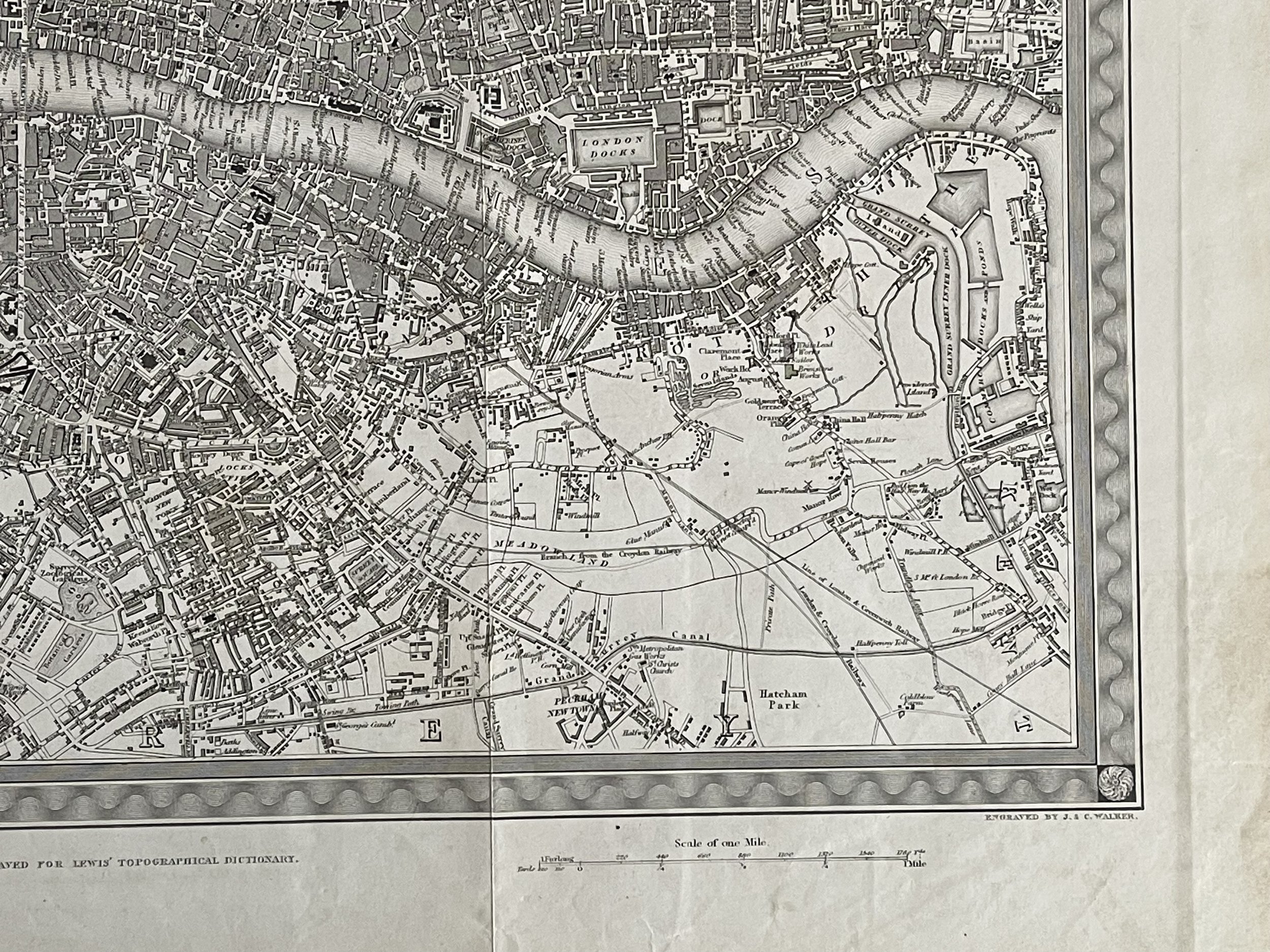
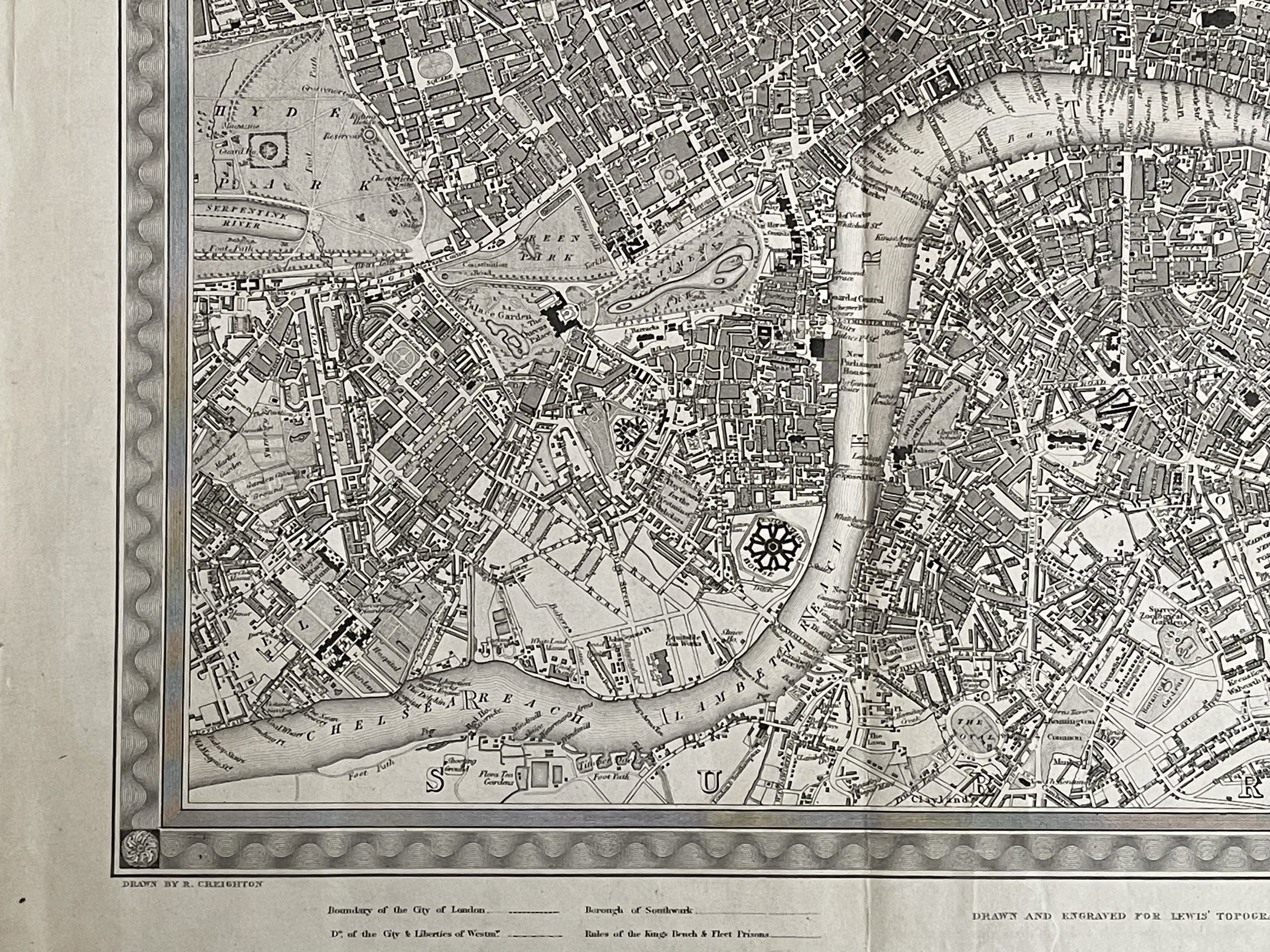
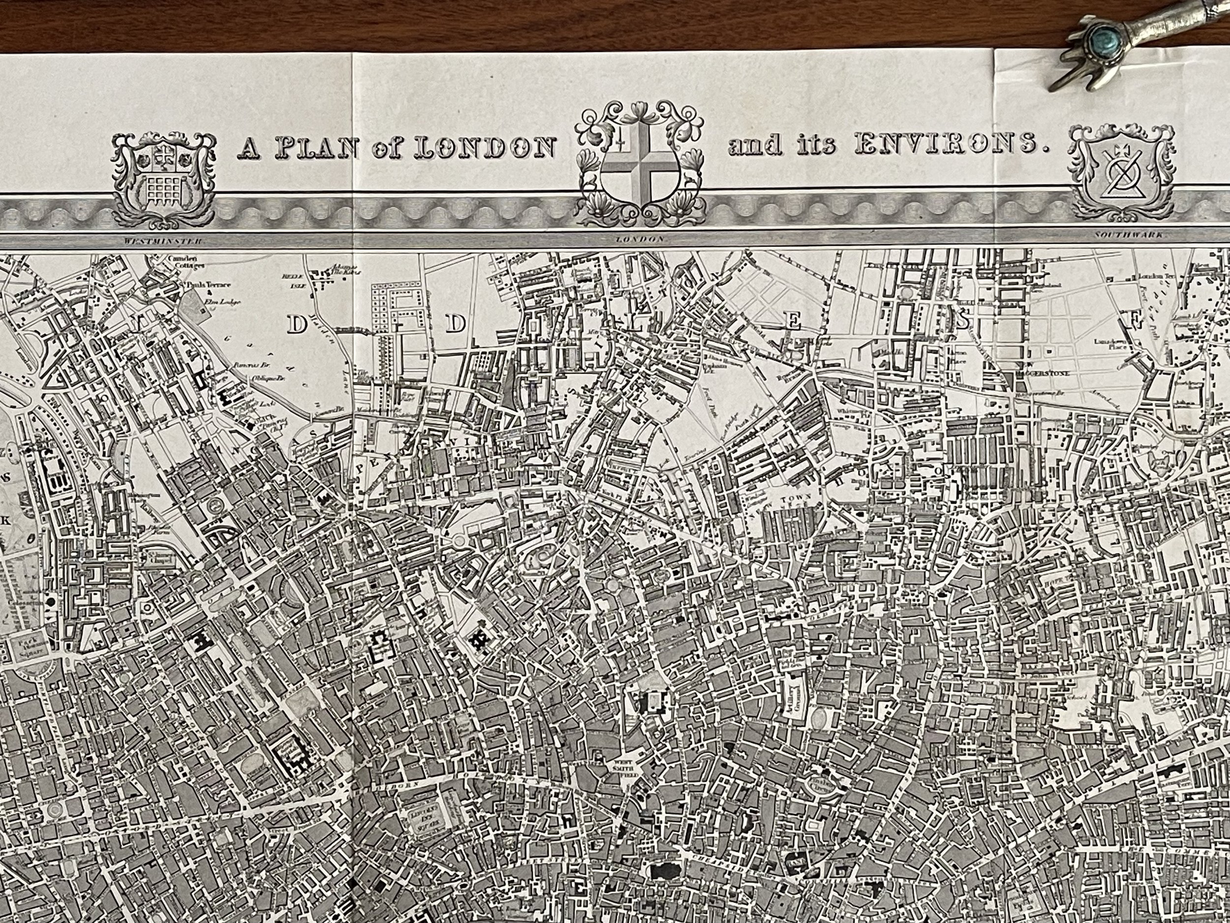
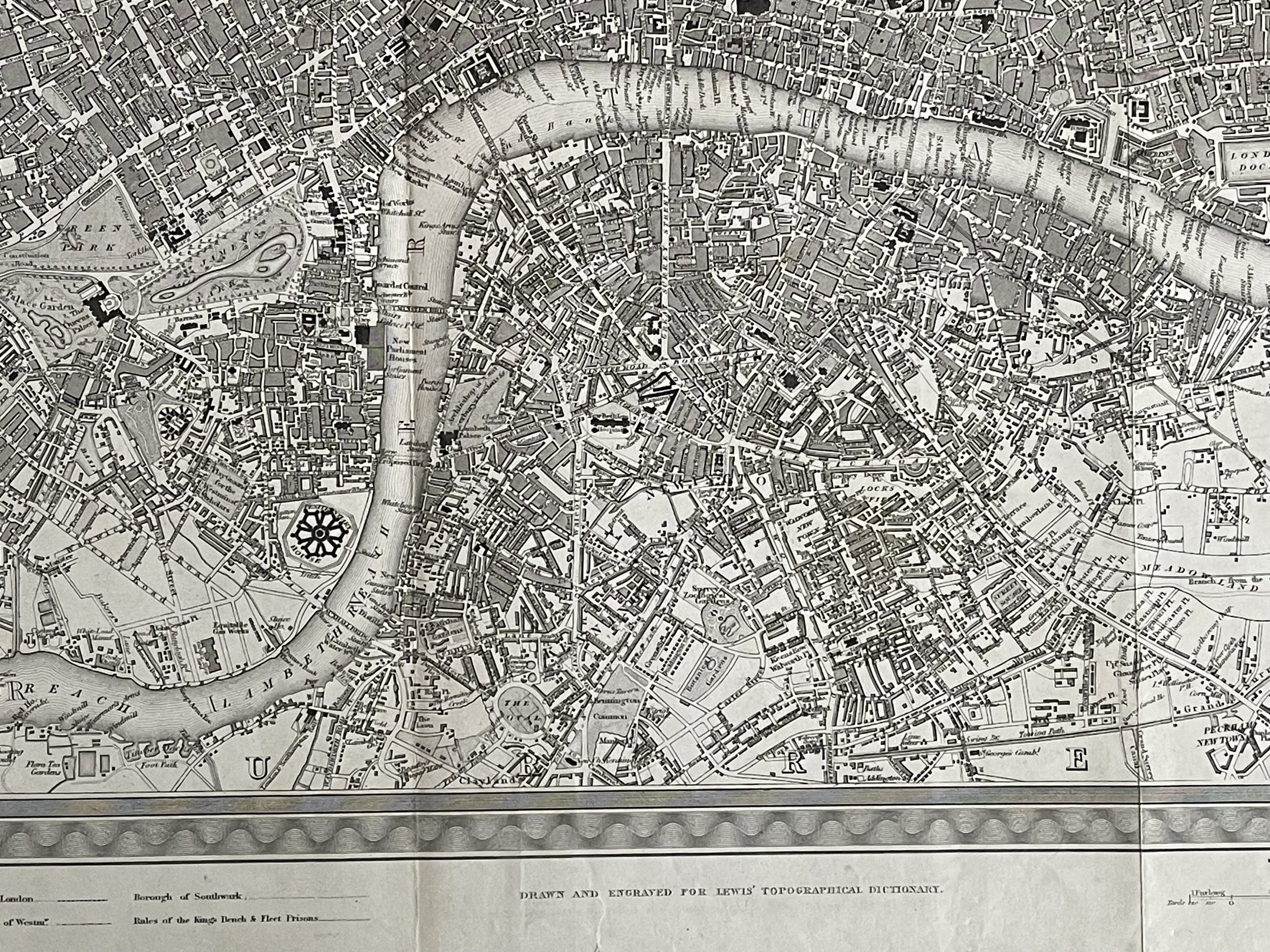
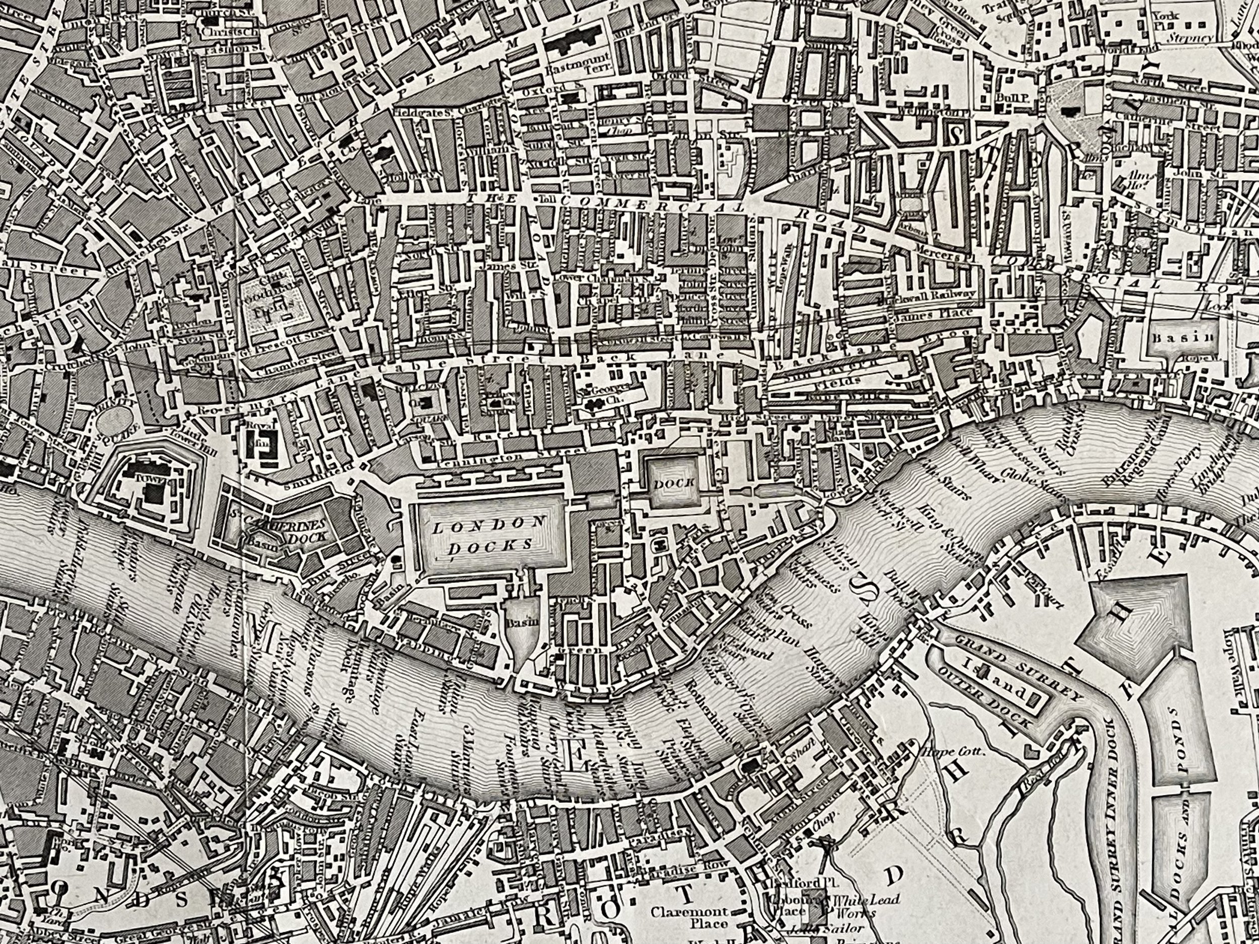
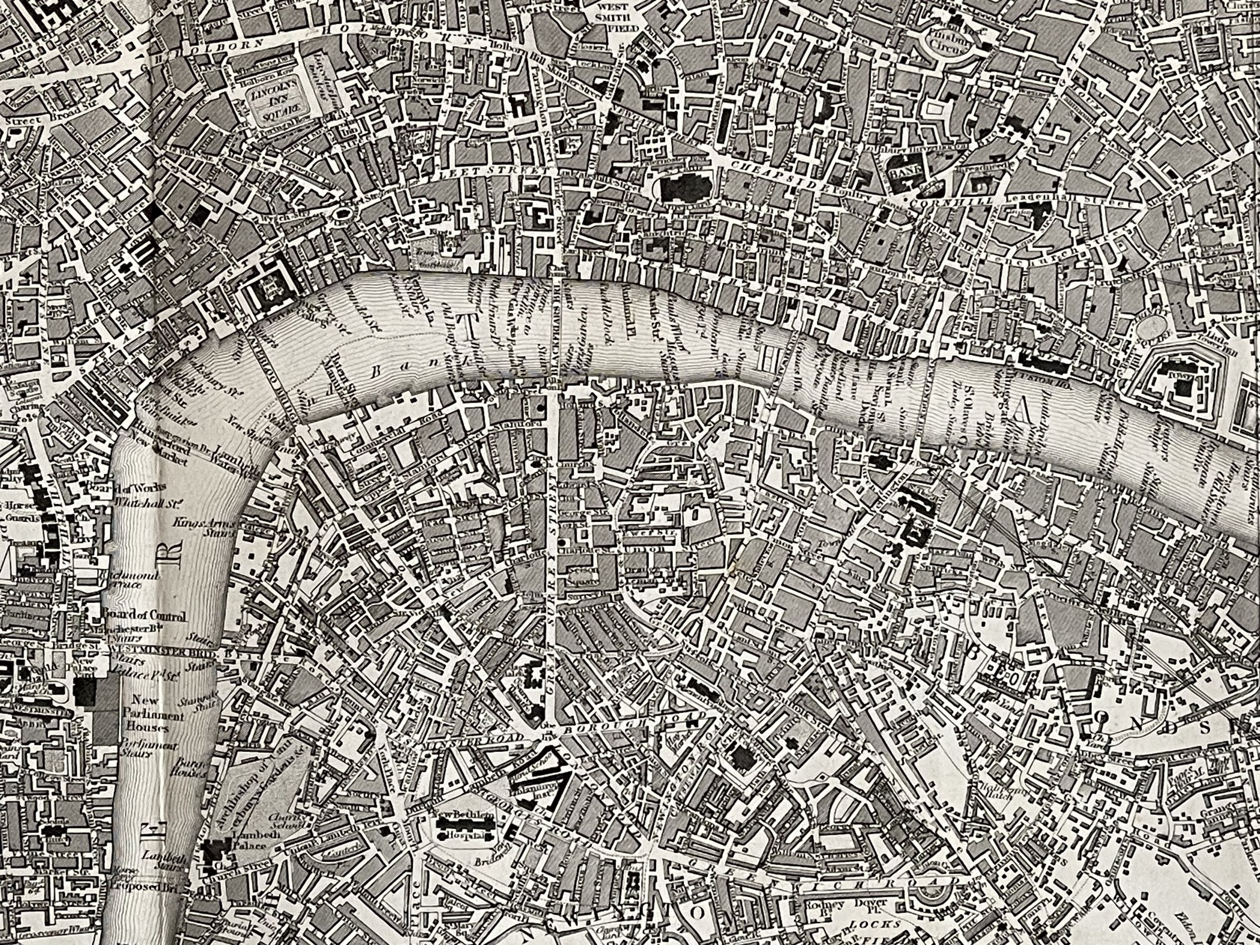
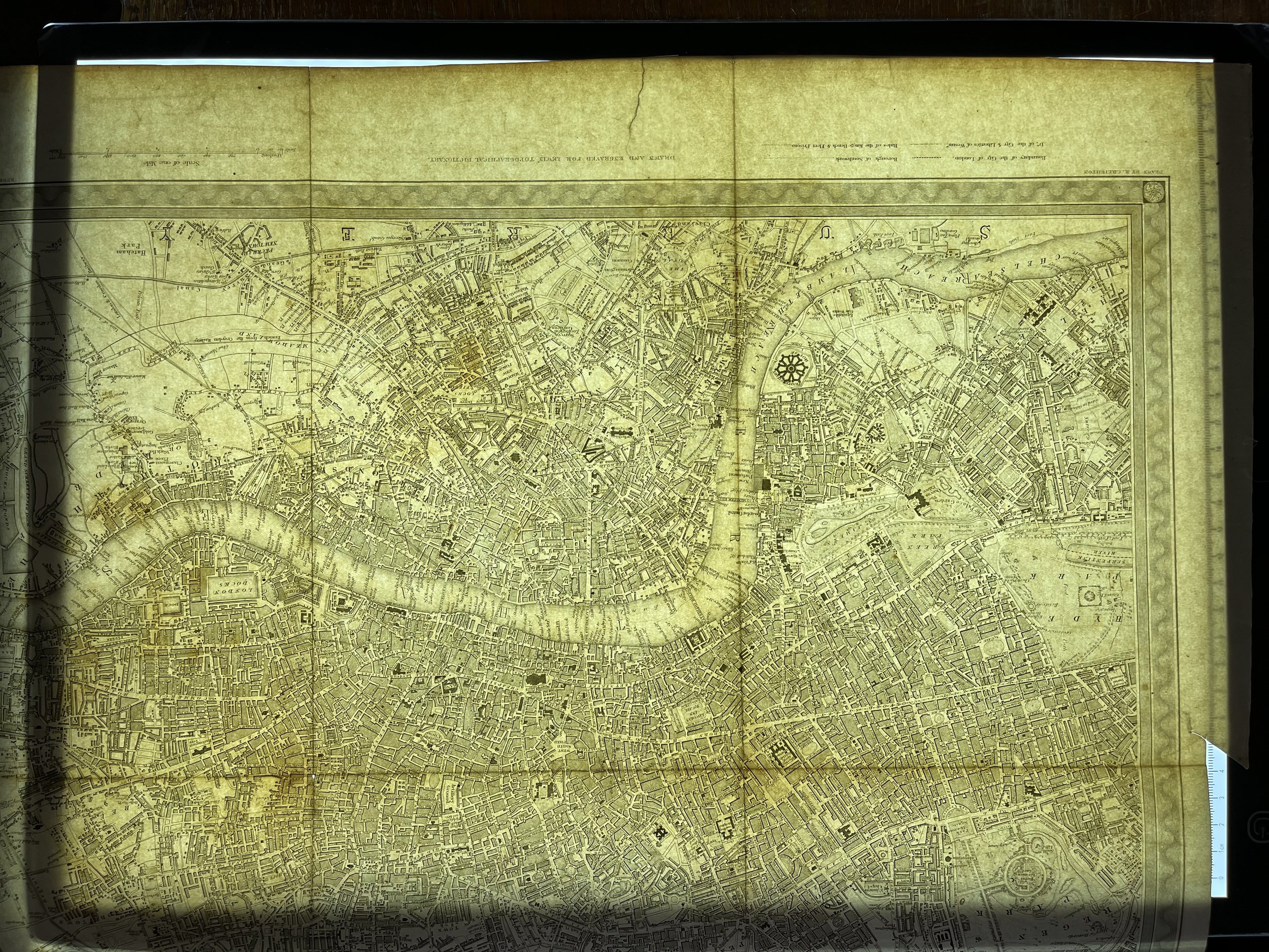
A very attractive plan of London and its Environs drawn by R. Creighton and engraved by J & C. Walker for "Lewis' Topographical Dictionary, 1834. The map covers an area from Hyde Park in the west to Limehouse and Rotherhithe in the east. Walworth in the south to Islington in the north.
A plan of London and its environs' by Drawn by R. Creighton. Engraved by J & C Walker (C1834). Large antique city plan, 41.0 x 48.5cm, 16 x 19.25 inches; Please note that this is a folding map.
The legend of this fascinating map delineates the boundaries of the City of London, Southwark and Westminster, as well as the "Rules of the Kings Bench and Fleet Prisons", debtors gaols with a reputation for being dirty, overcrowded and prone to outbreaks of typhus. Those who could afford it purchased these maps.
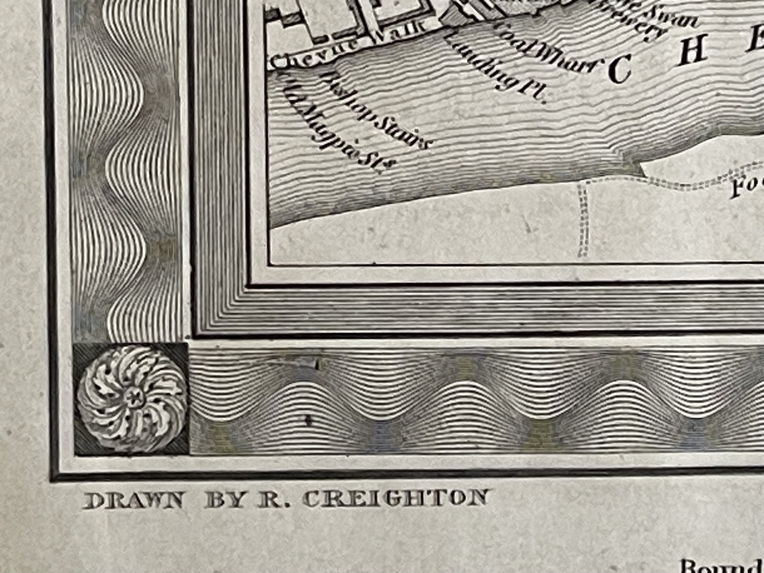
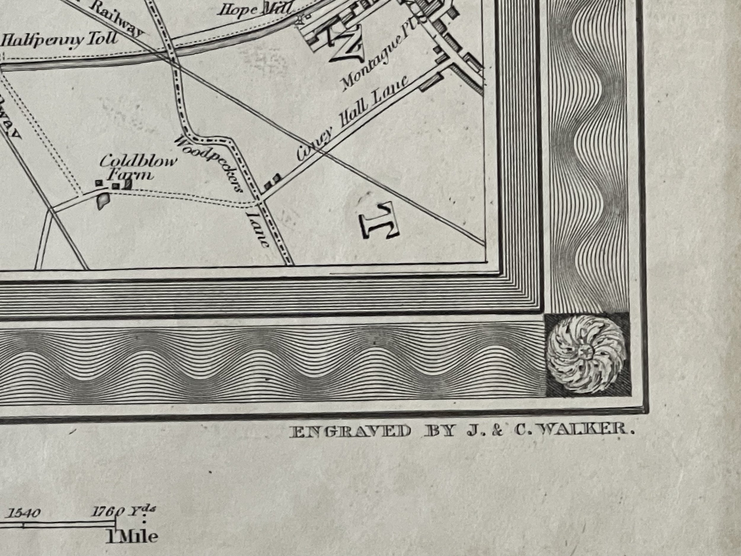
Uncoloured. One small tear in the border that doest affect the engraving, by the word environs (see pointer) - Pricing and grading commensurate. These original antique maps look incredible framed and make for a great talking point.
'A PLAN of LONDON and its ENVIRONS.' by R. Creighton / J. & C. Walker / S. Lewis
A very attractive plan of London and its Environs drawn by R. Creighton and engraved by J & C. Walker for "Lewis' Topographical Dictionary, 1834. The map covers an area from Hyde Park in the west to Limehouse and Rotherhithe in the east. Walworth in the south to Islington in the north.
A plan of London and its environs' by Drawn by R. Creighton. Engraved by J & C Walker (C1834). Large antique city plan, 41.0 x 48.5cm, 16 x 19.25 inches; Please note that this is a folding map.
The legend of this fascinating map delineates the boundaries of the City of London, Southwark and Westminster, as well as the "Rules of the Kings Bench and Fleet Prisons", debtors gaols with a reputation for being dirty, overcrowded and prone to outbreaks of typhus. Those who could afford it purchased these maps.
Uncoloured. One small tear in the border that doest affect the engraving, by the word environs (see pointer) - Pricing and grading commensurate. These original antique maps look incredible framed and make for a great talking point.
Code : A702
Cartographer : Cartographer / Engraver / Publisher: Richard Creighton / J. & C. Walker
Date : Publication Place / Date - Circa 1840
Size : Sheet size: Image Size: 41 x 48.5 cm
Availability : Available
Type - Genuine - Antique
Grading A
Where Applicable - Folds as issued. Light box photo shows the folio leaf centre margin hinge ‘glue’, this is not visible otherwise.
Tracked postage, in casement. Please contact me for postal quotation outside of the UK.