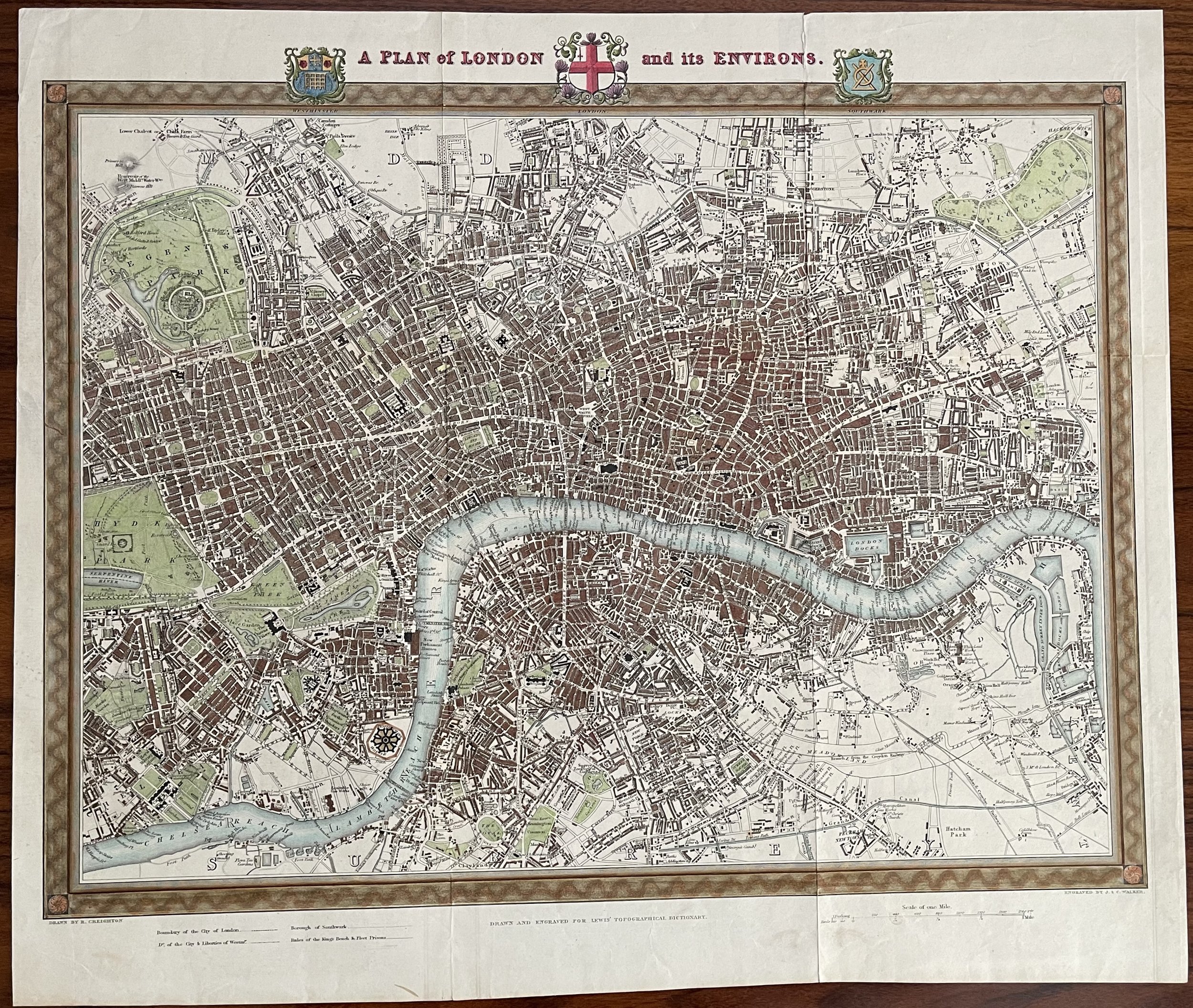
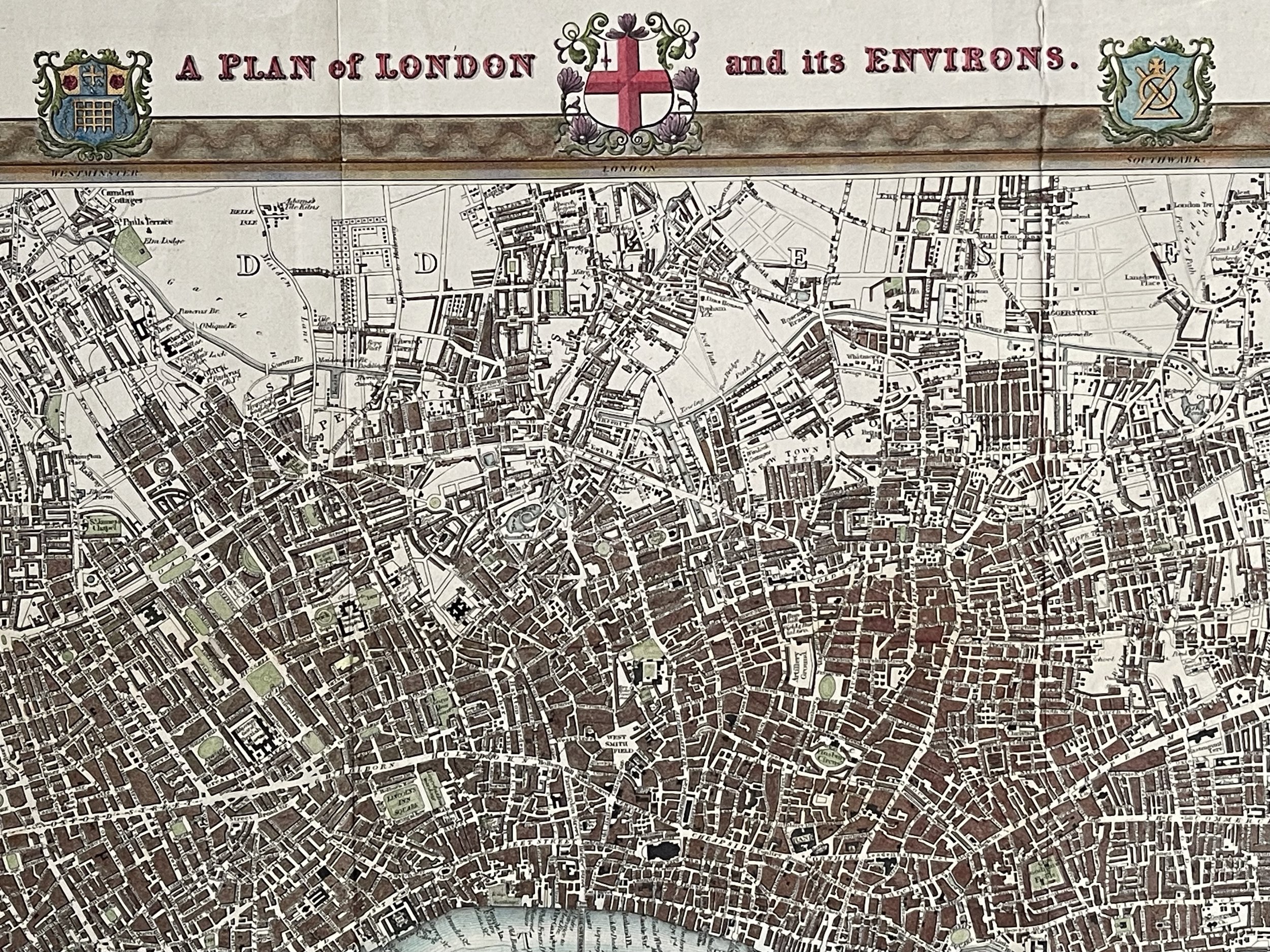
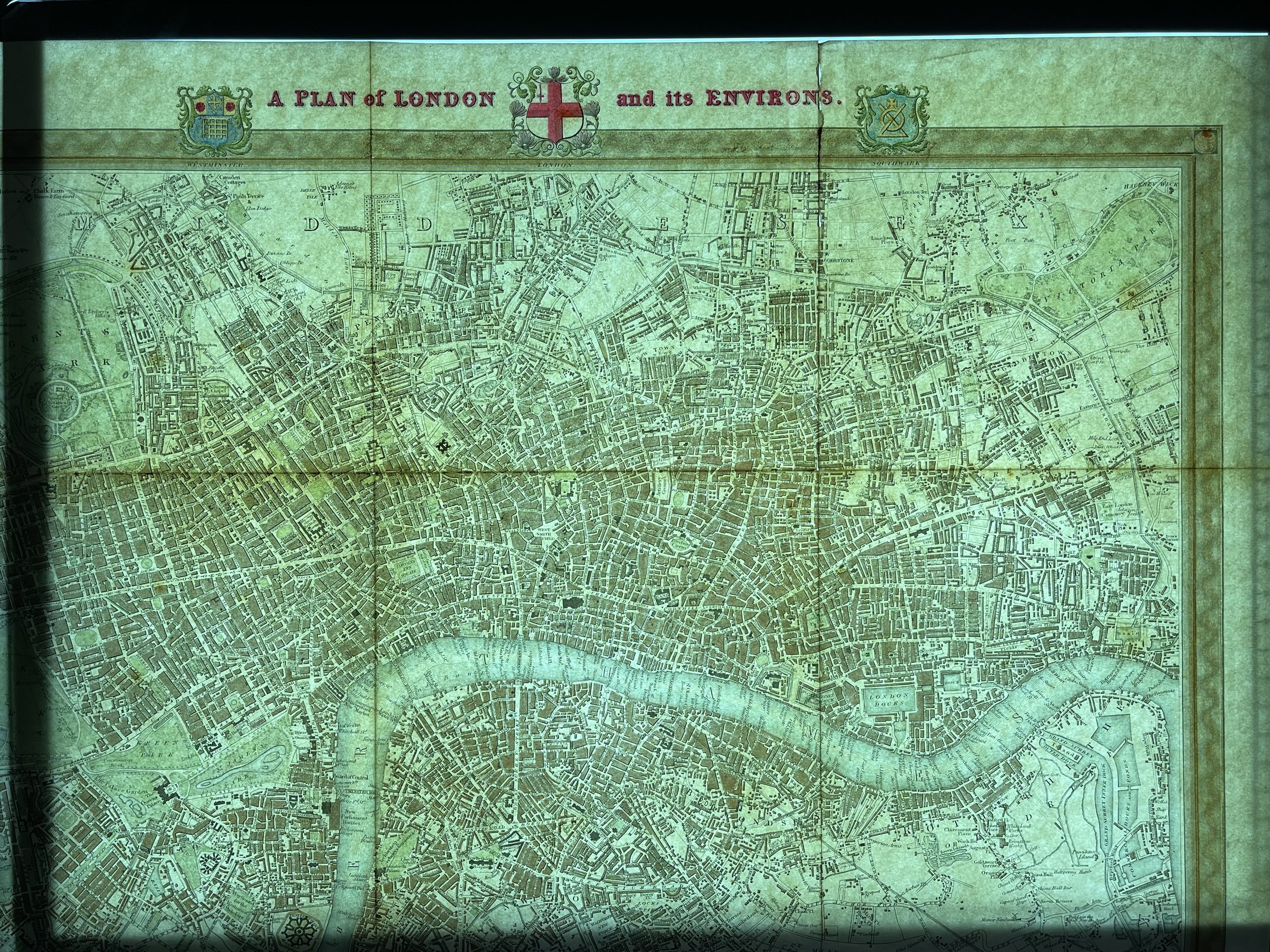
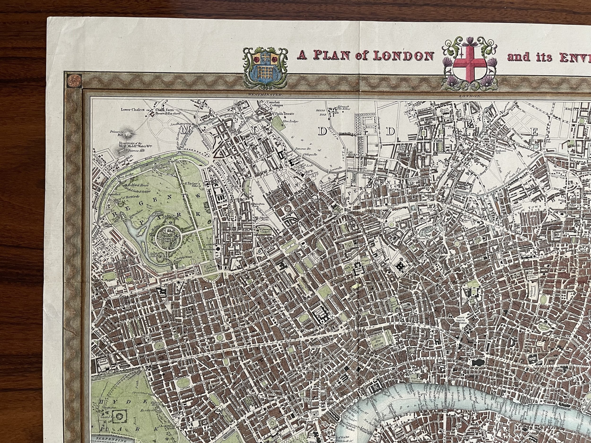
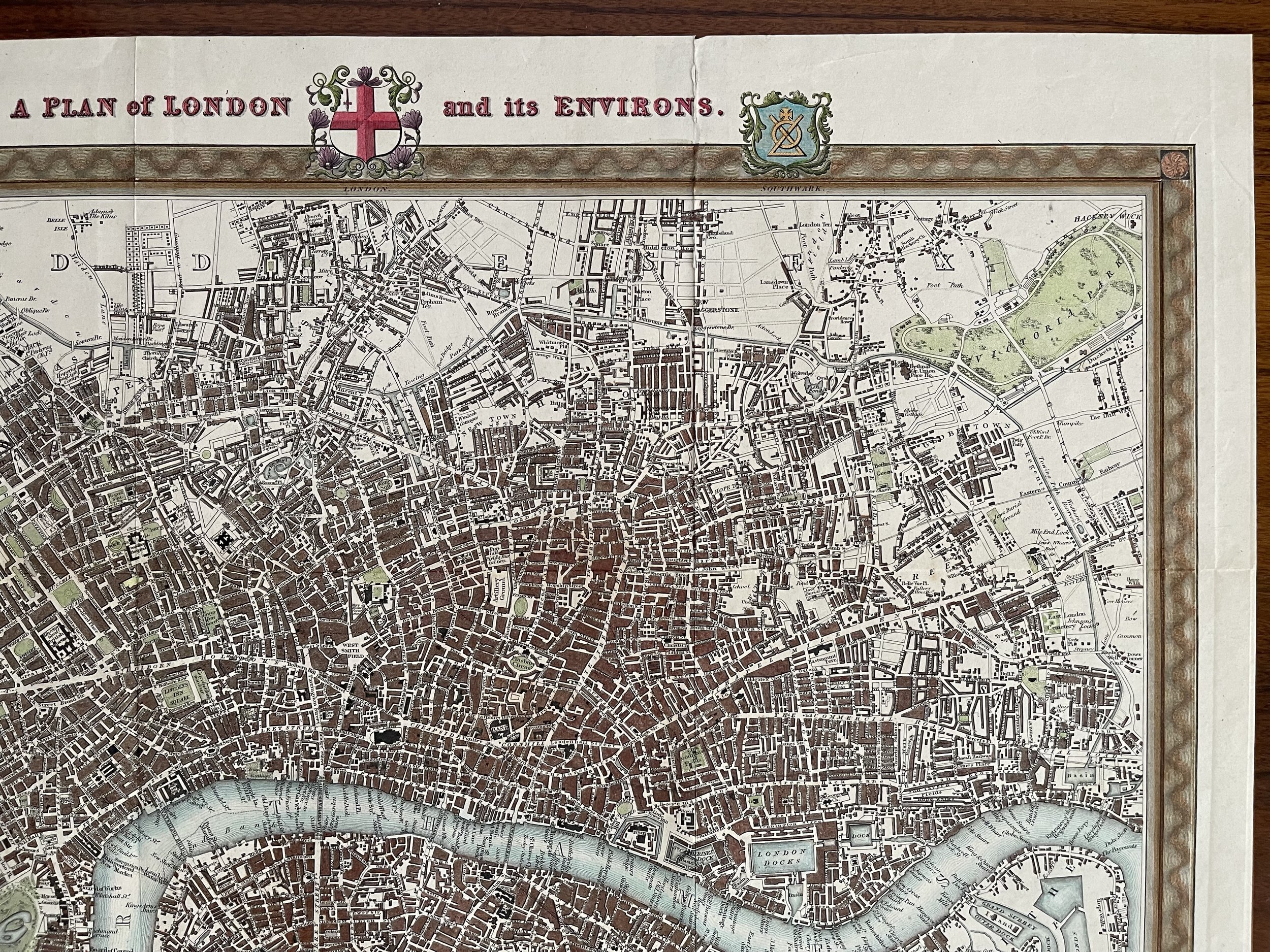
A Plan of London and its Environs - Richard Creighton / J. & C. Walker - Circa 1834
'A PLAN of LONDON and its ENVIRONS.' by R. Creighton / J. & C. Walker / S. Lewis
A very attractive plan of London and its Environs drawn by R. Creighton and engraved by J & C. Walker for "Lewis' Topographical Dictionary, 1834. The map covers an area from Hyde Park in the west to Limehouse and Rotherhithe in the east. Walworth in the south to Islington in the north.
Excellent hand colour.
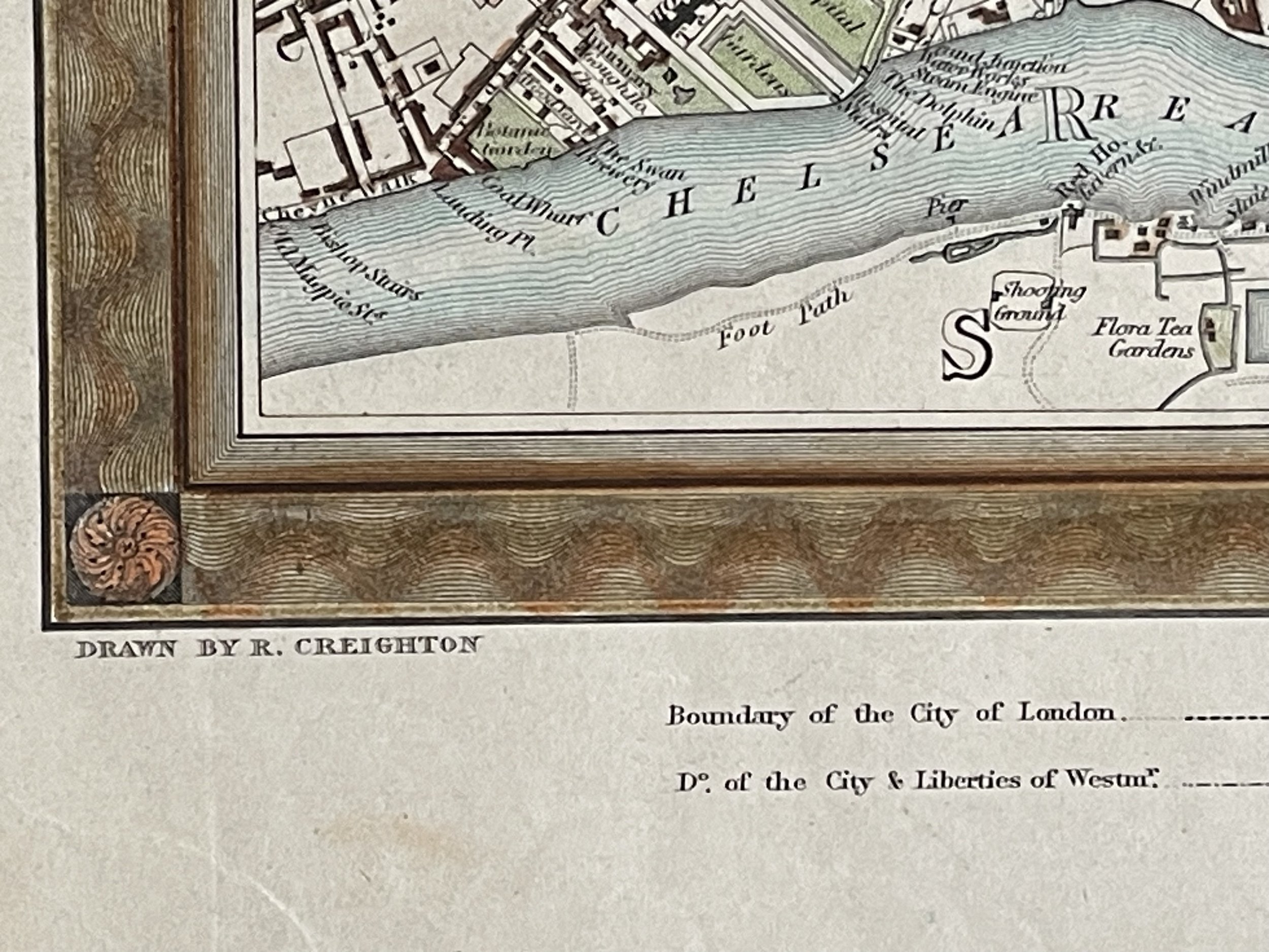
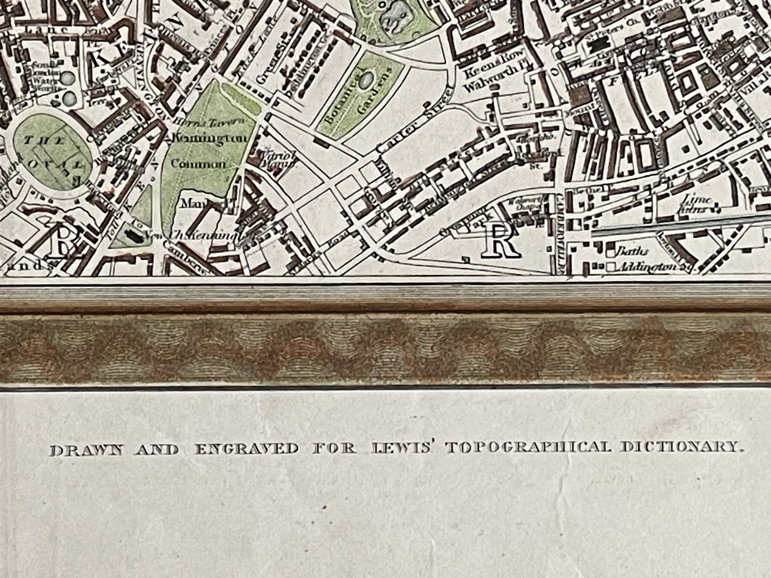
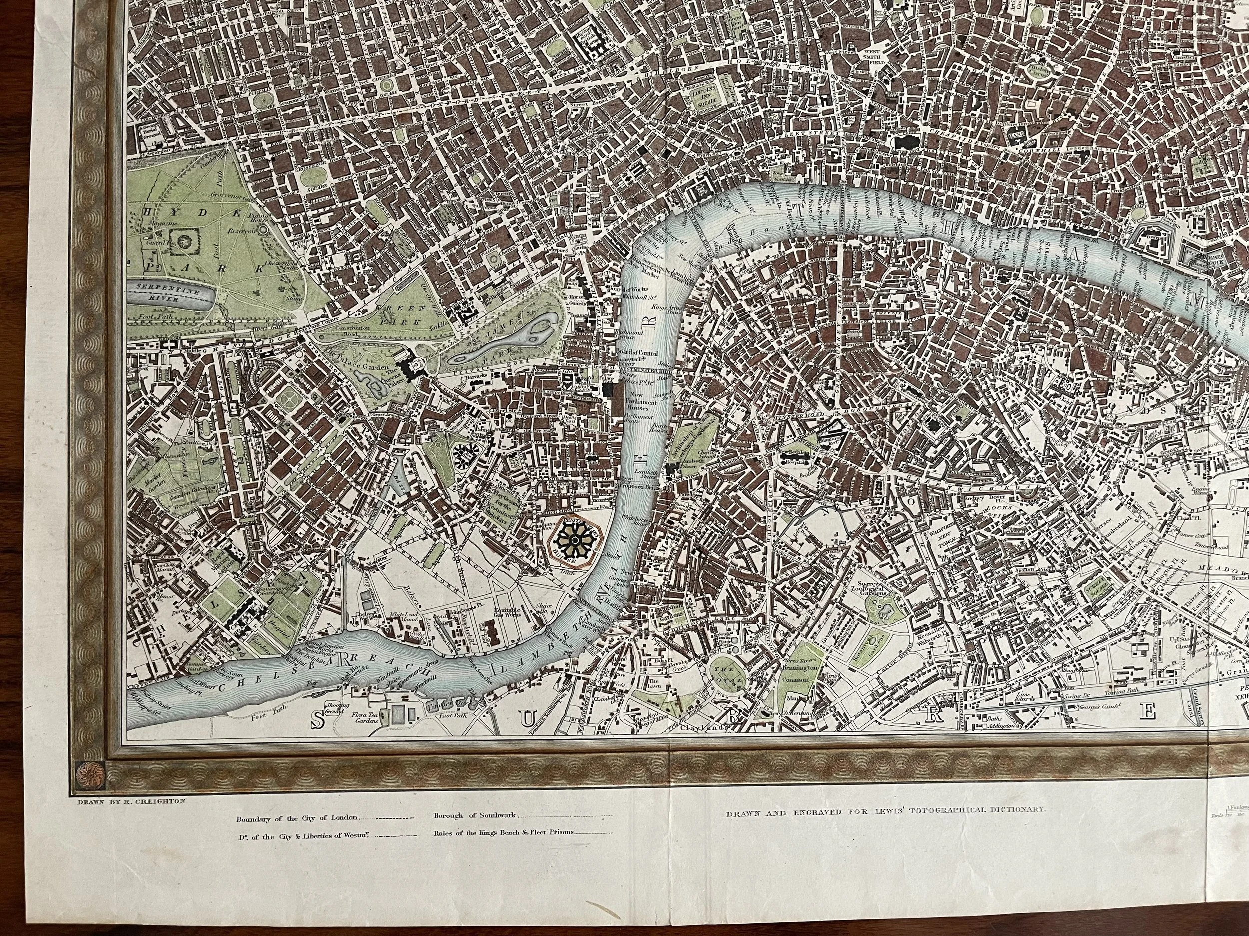
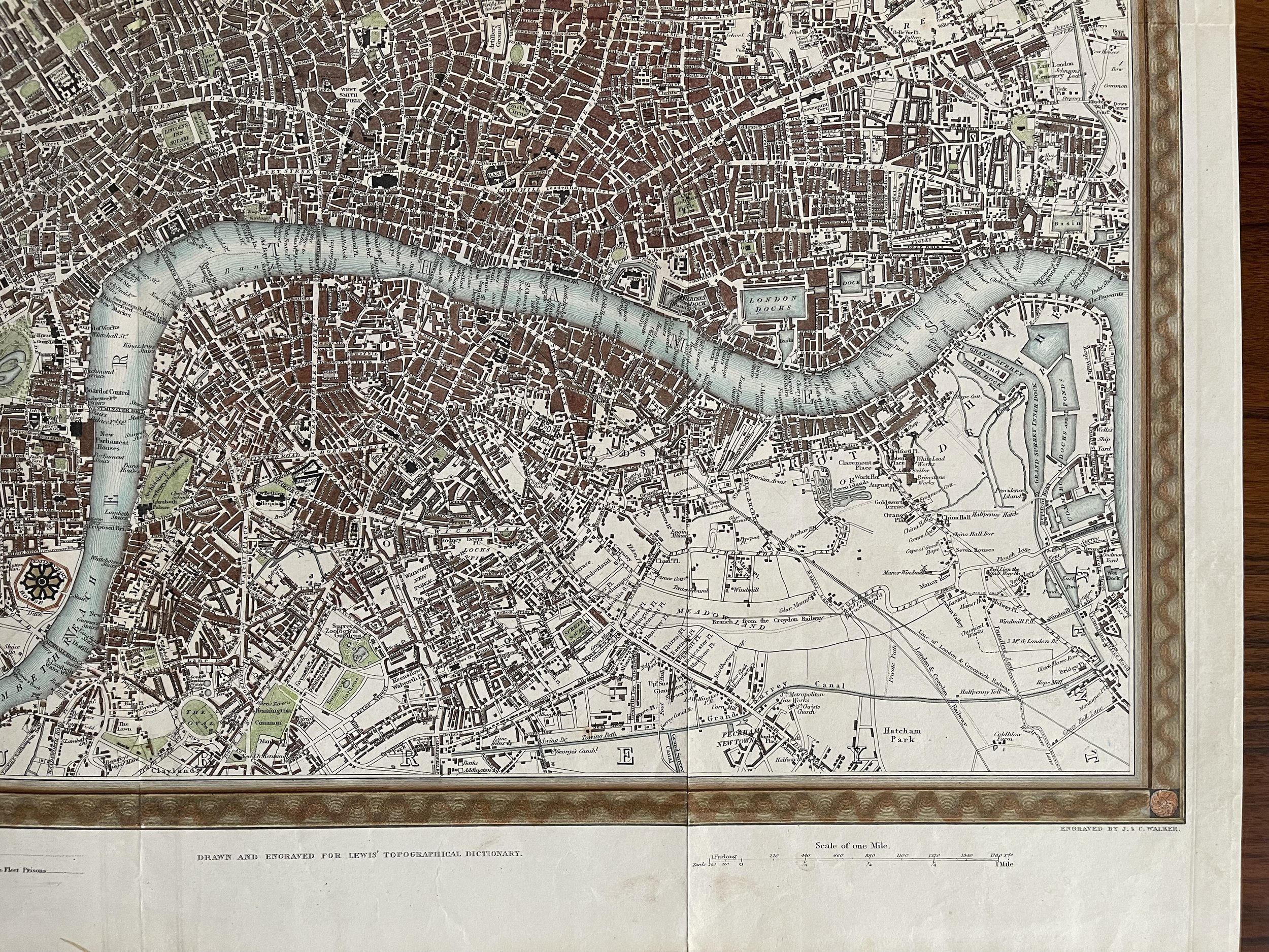
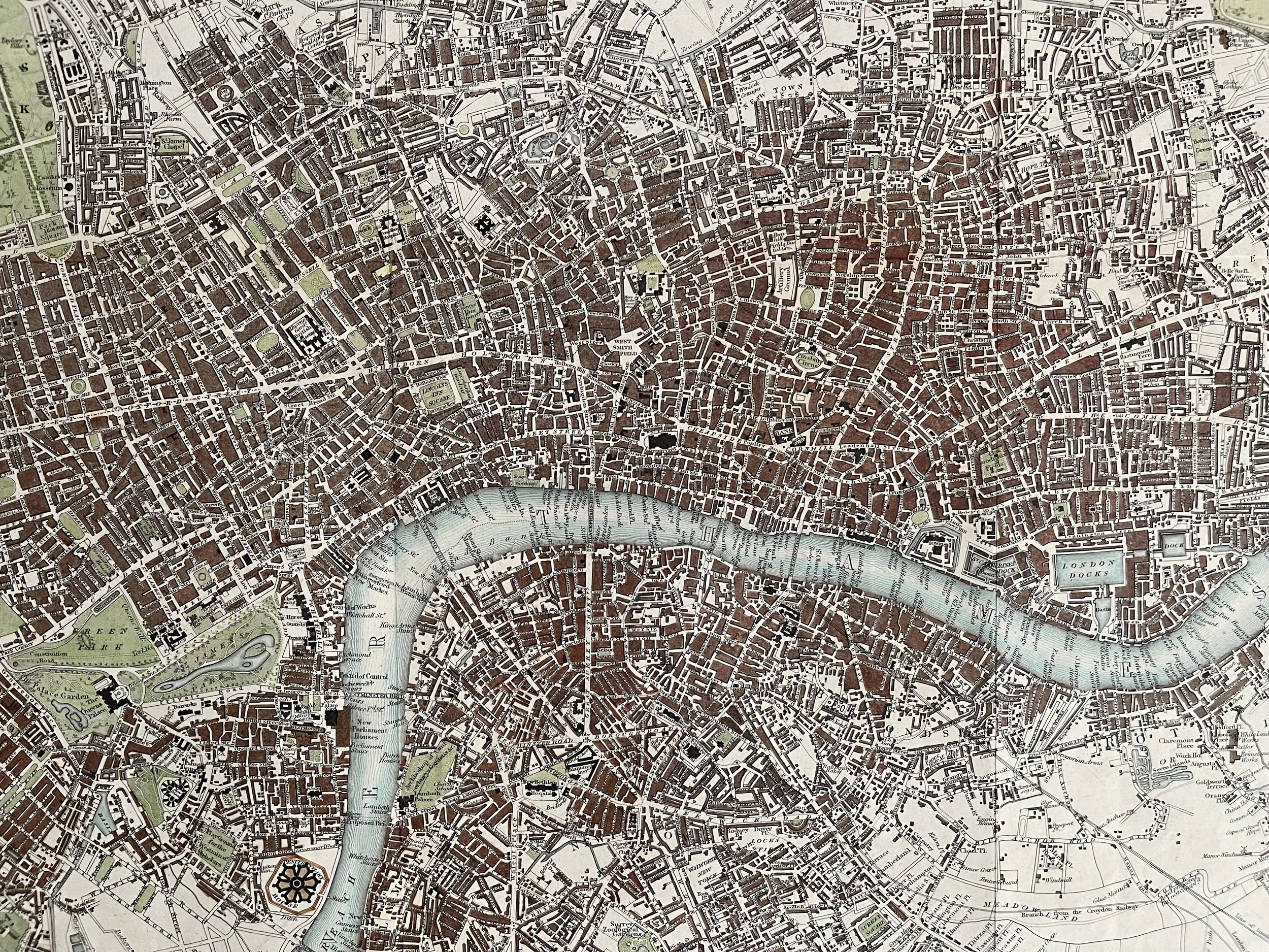
Code : A56
Cartographer : Cartographer / Engraver / Publisher: Richard Creighton / J. & C. Walker / S. Lewis
Date : Publication Place / Date - Circa 1934
Size : Sheet size: Image Size: 50 x 42.5 cm
Availability : Available
Type - Genuine - Antique
Grading A
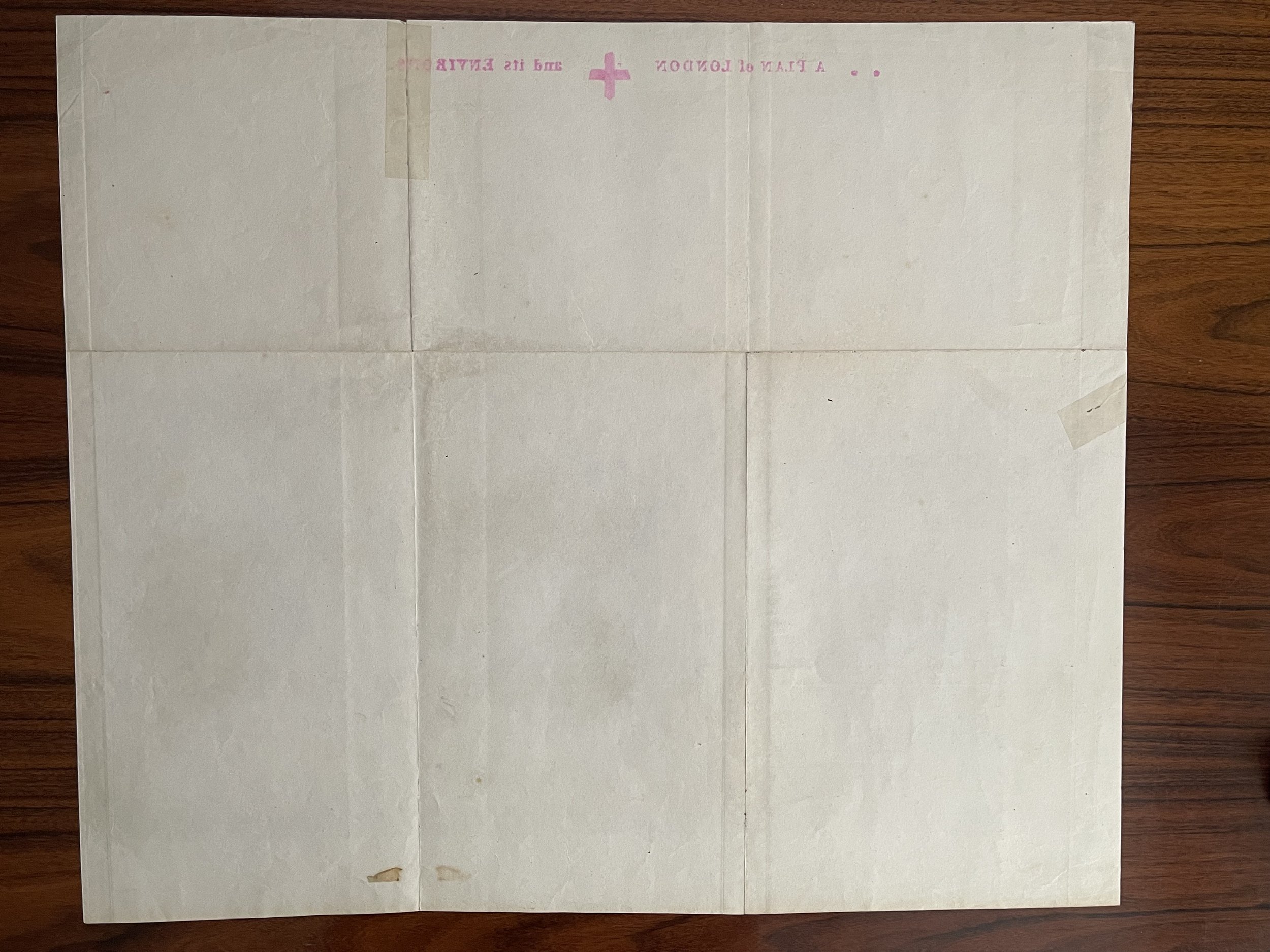
Where Applicable - Folds as issued. Light box photo shows the folio leaf centre margin hinge ‘glue’, this is not visible otherwise.
Tracked postage, in casement. Please contact me for postal quotation outside of the UK.