
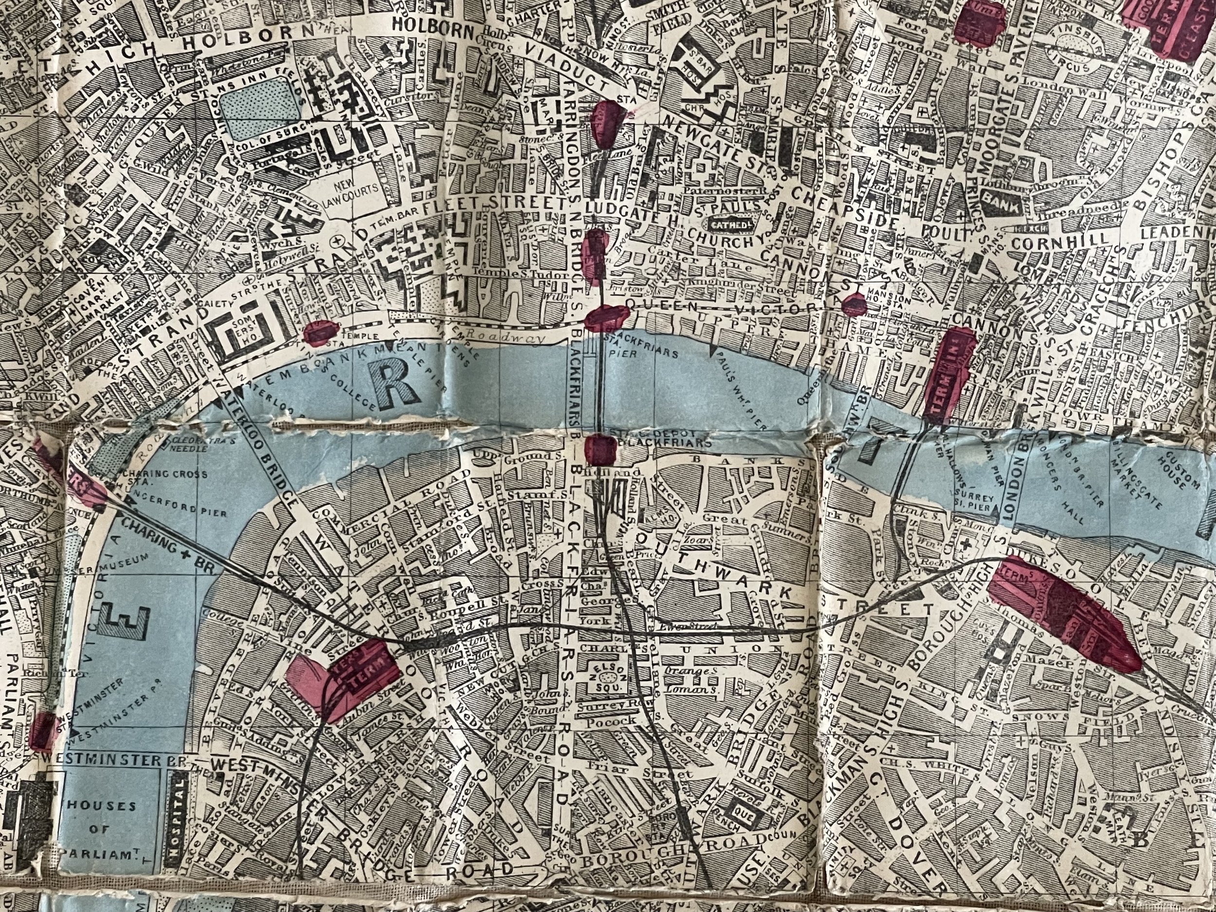
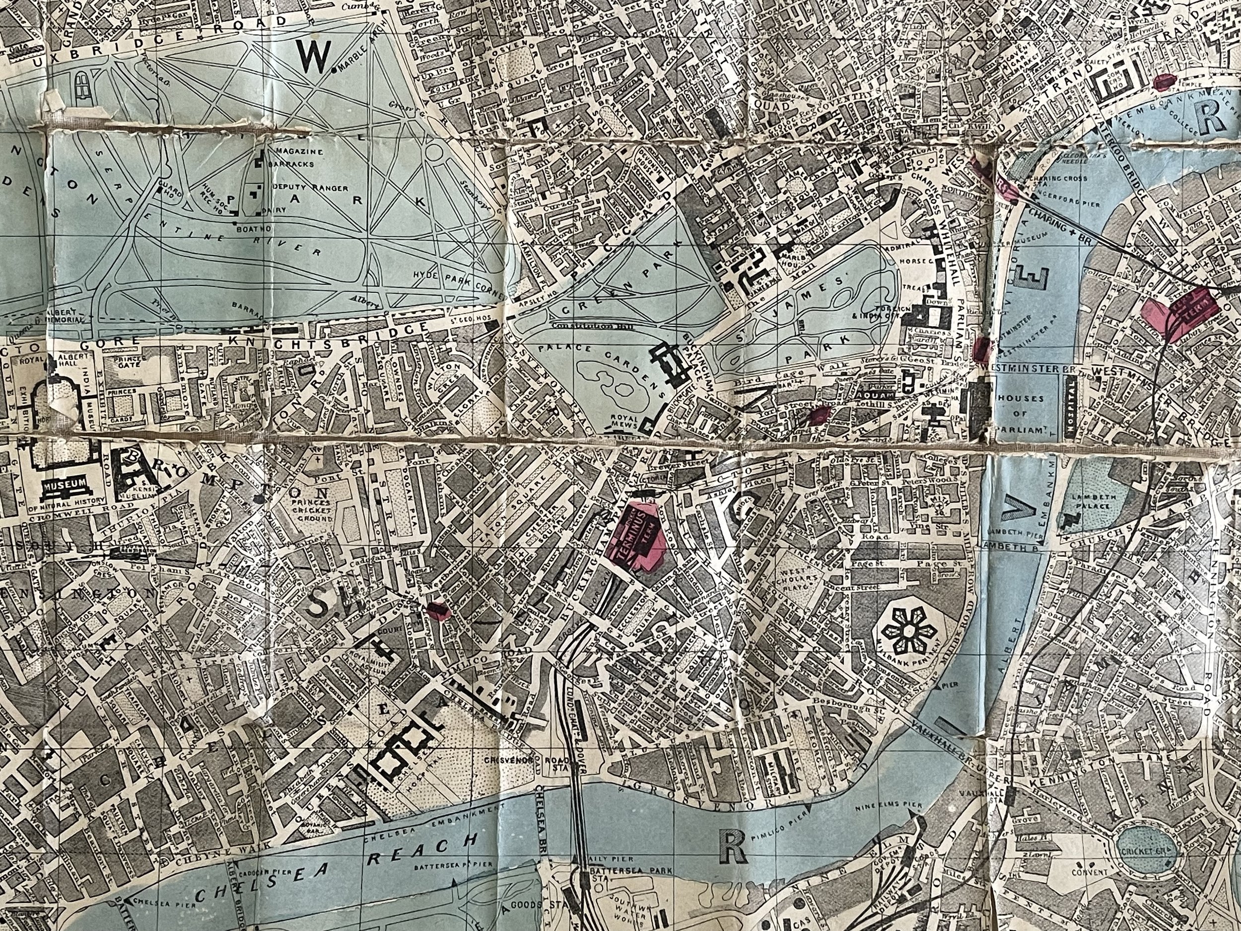
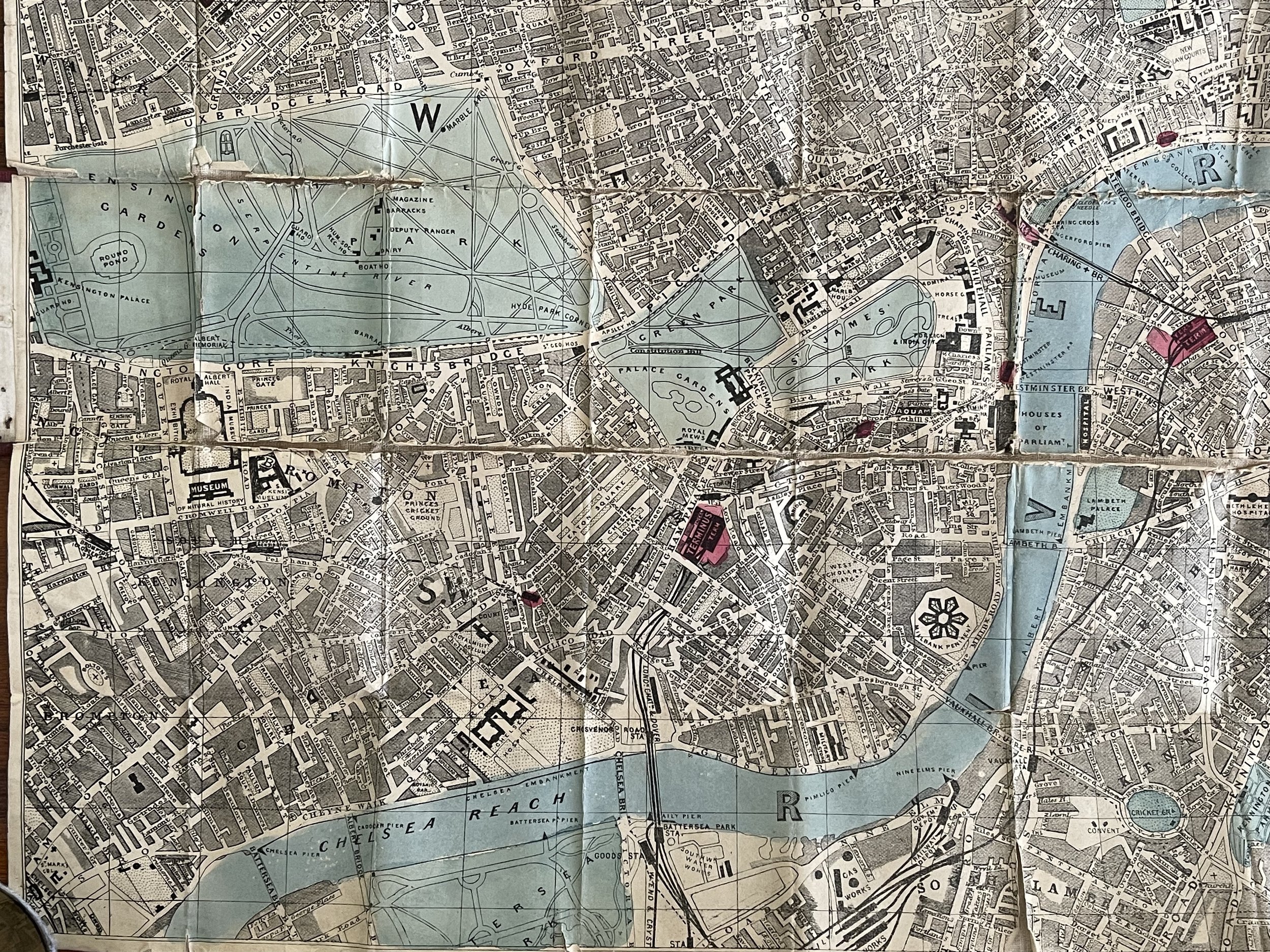
Antique pocket Folding London Map New Railways Version - Dorrell & Son - 1850-1880
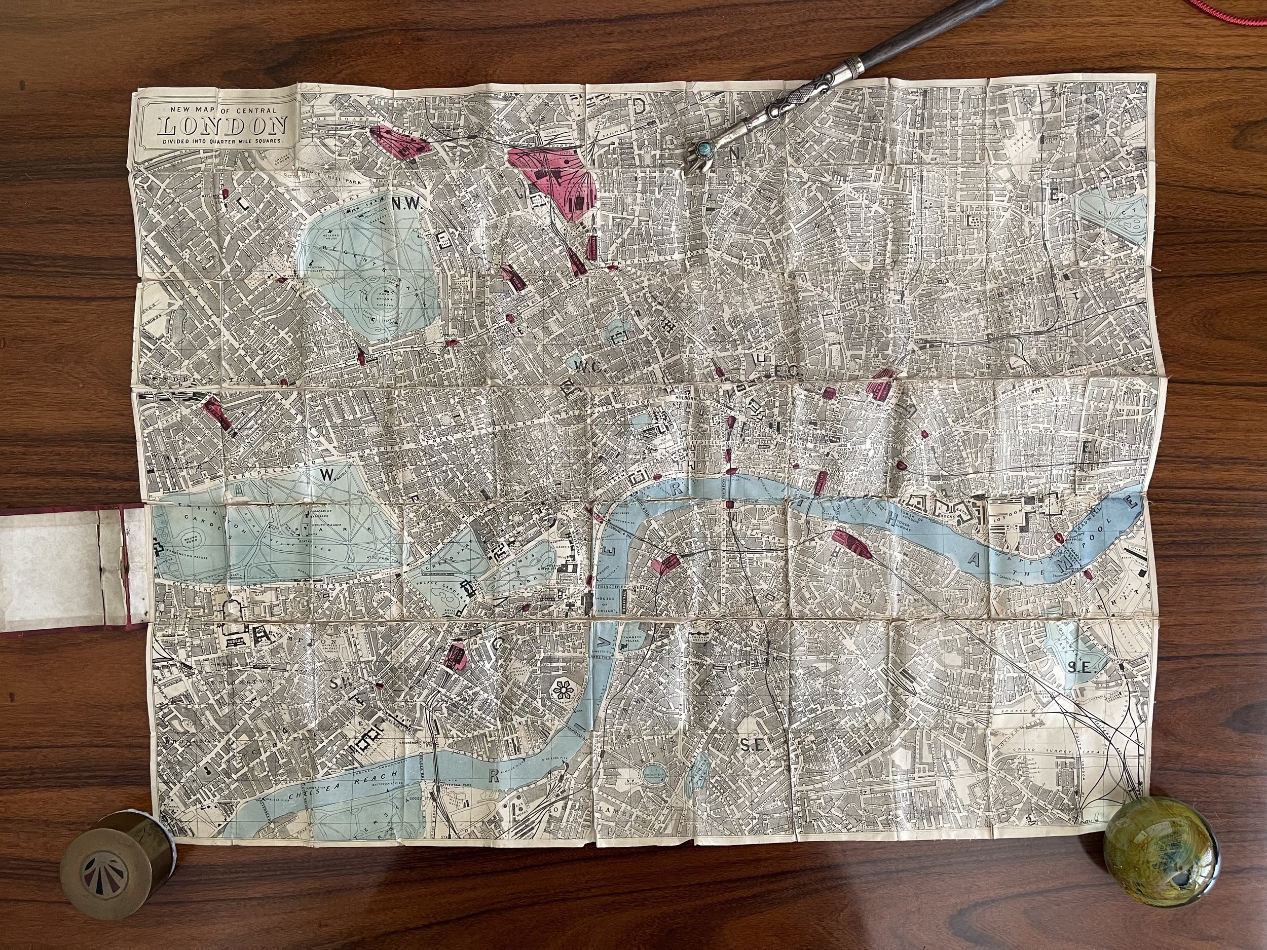
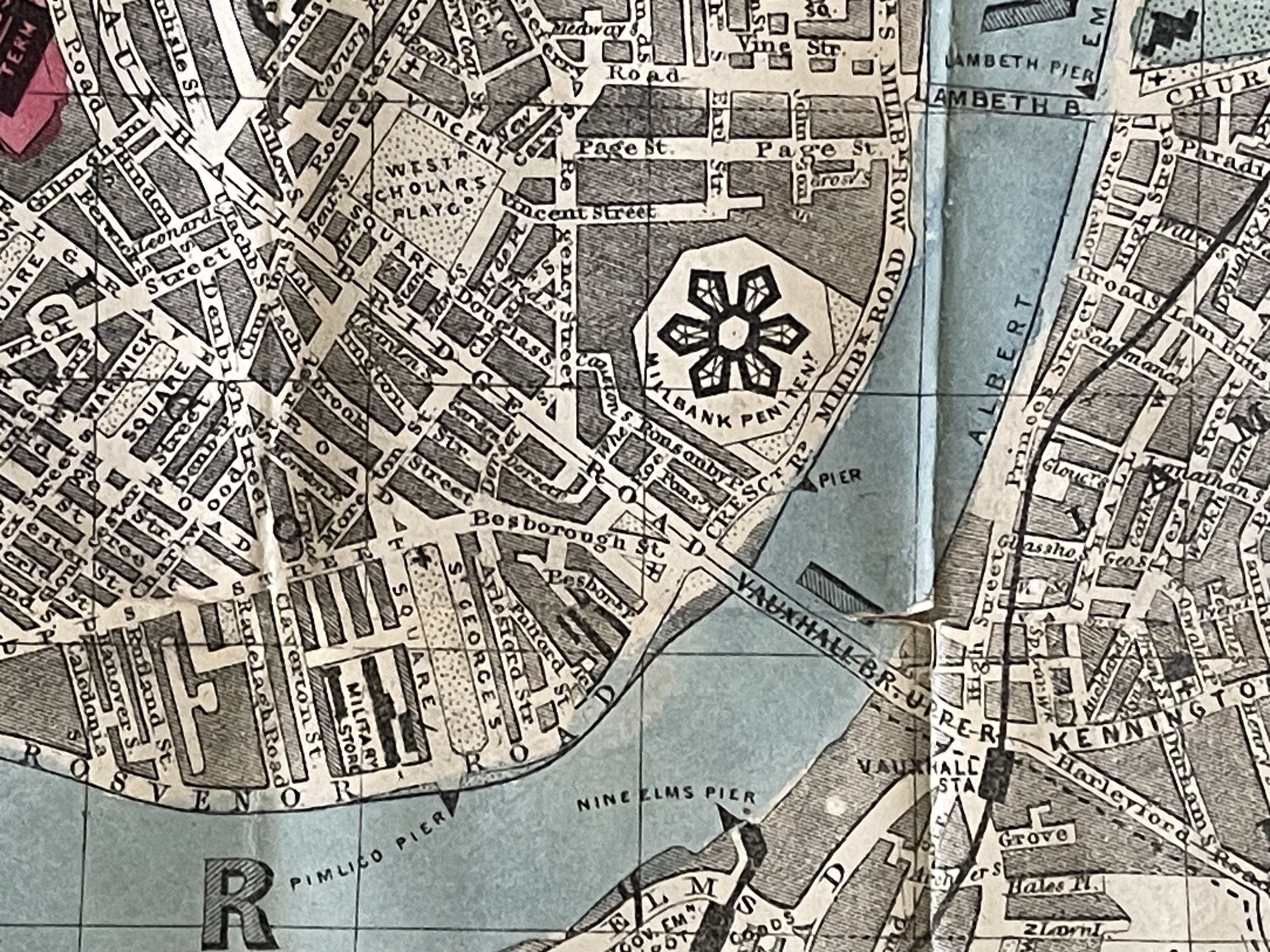
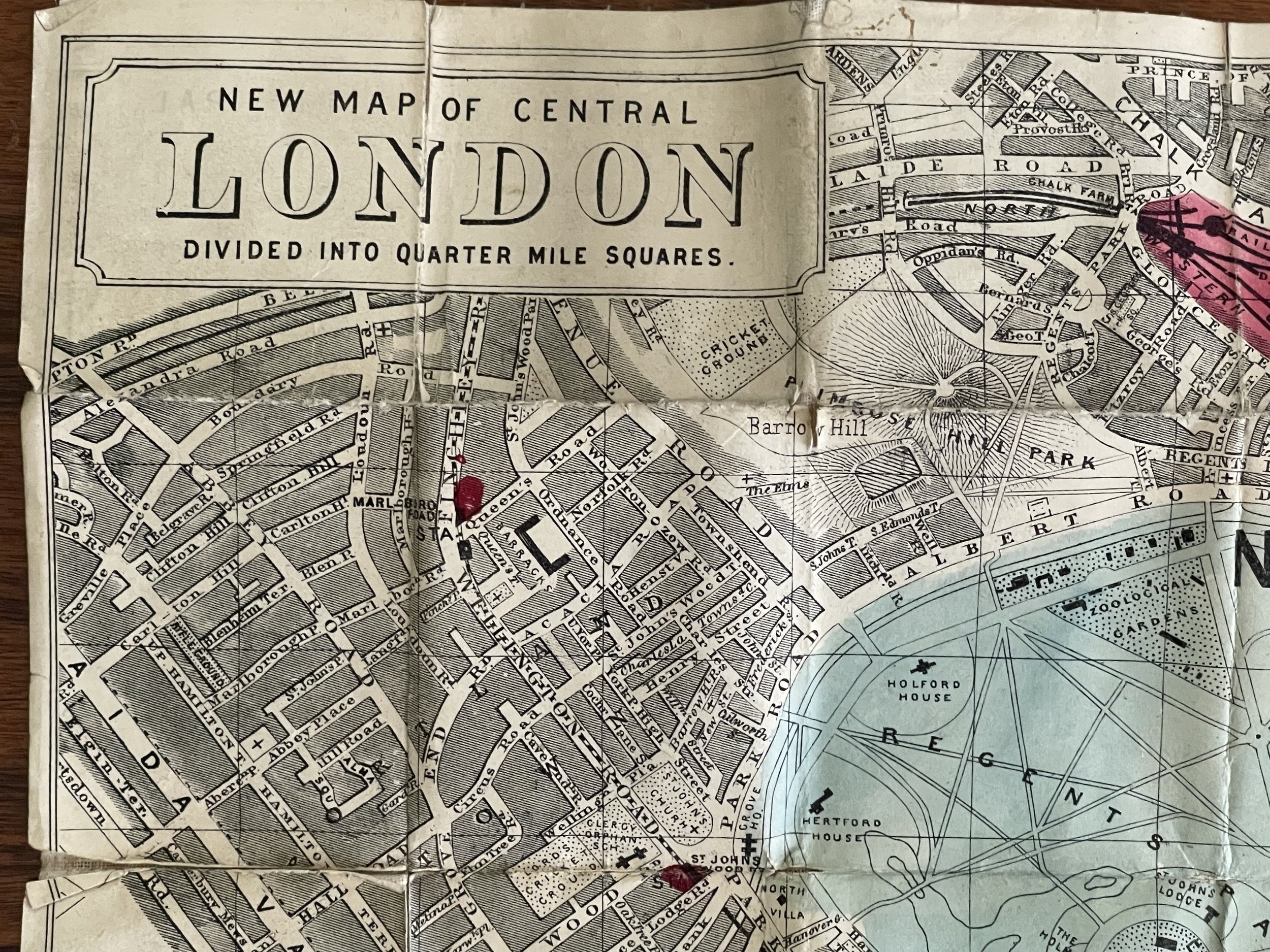
The waistcoat pocket map of London shewing all the new railways and recent metropolitan improvements - Dorrell & Son (Publisher) - Circa 1850-1880
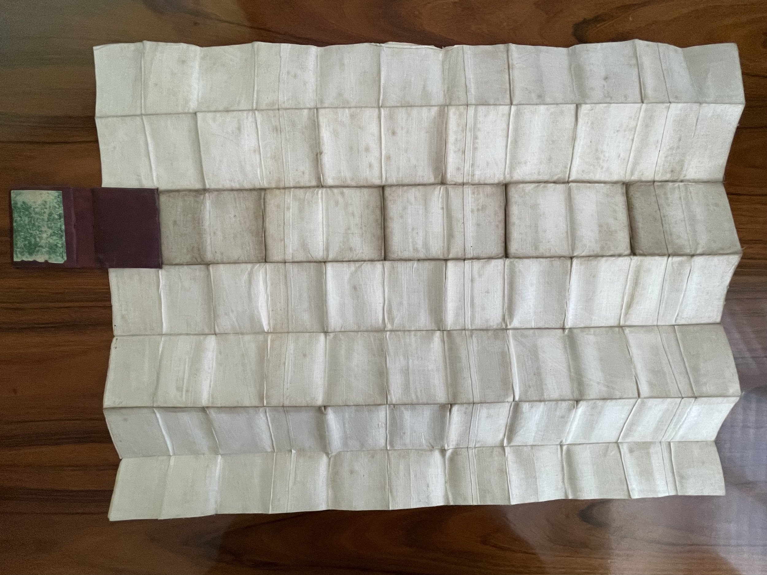
Beautiful 19th Century waistcoat pocket Map of London from the mid 1800’s. Very little information available on the publisher Dorrell & Son or the cartographer. I will update if I manage to find further information .
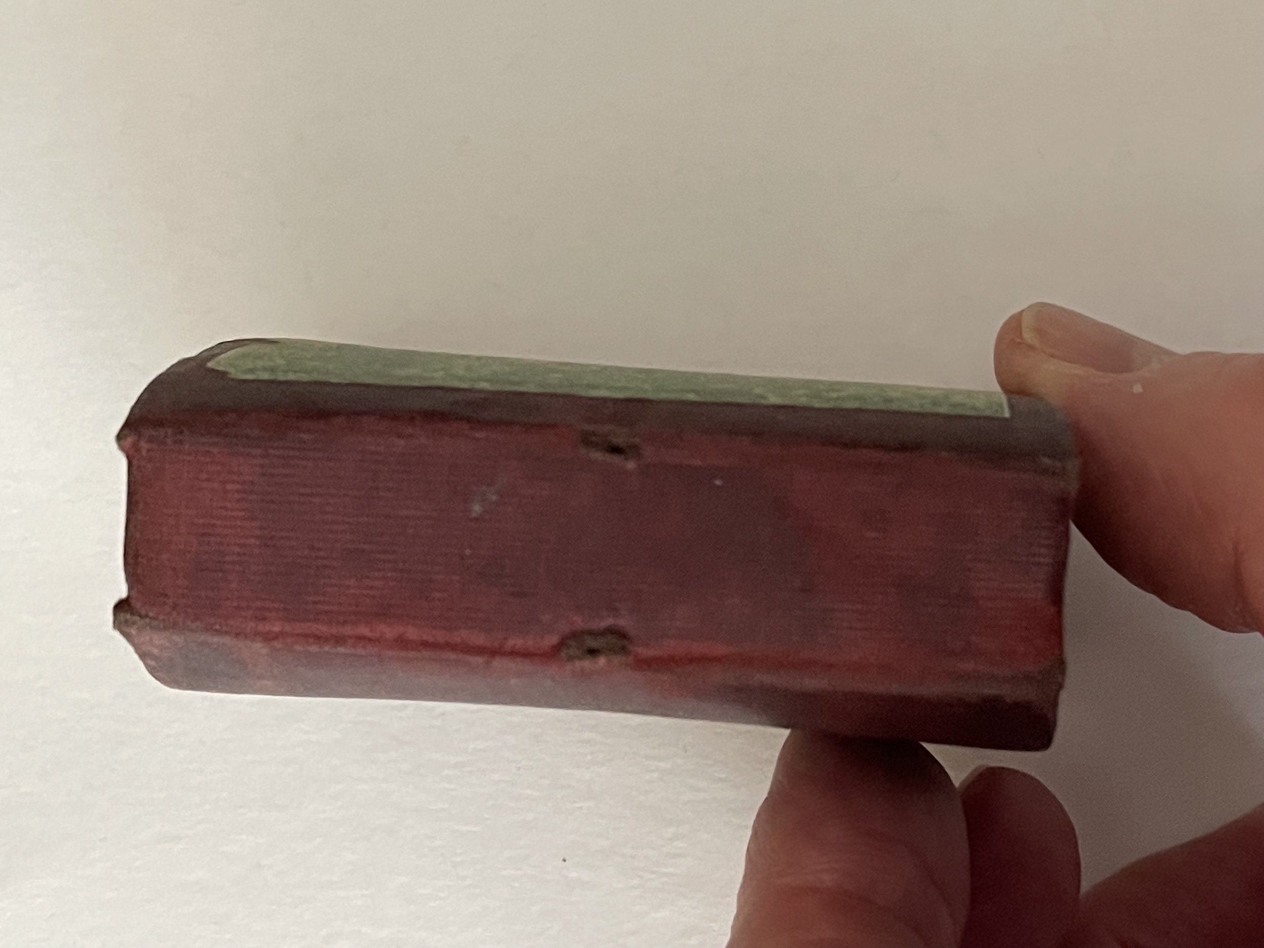
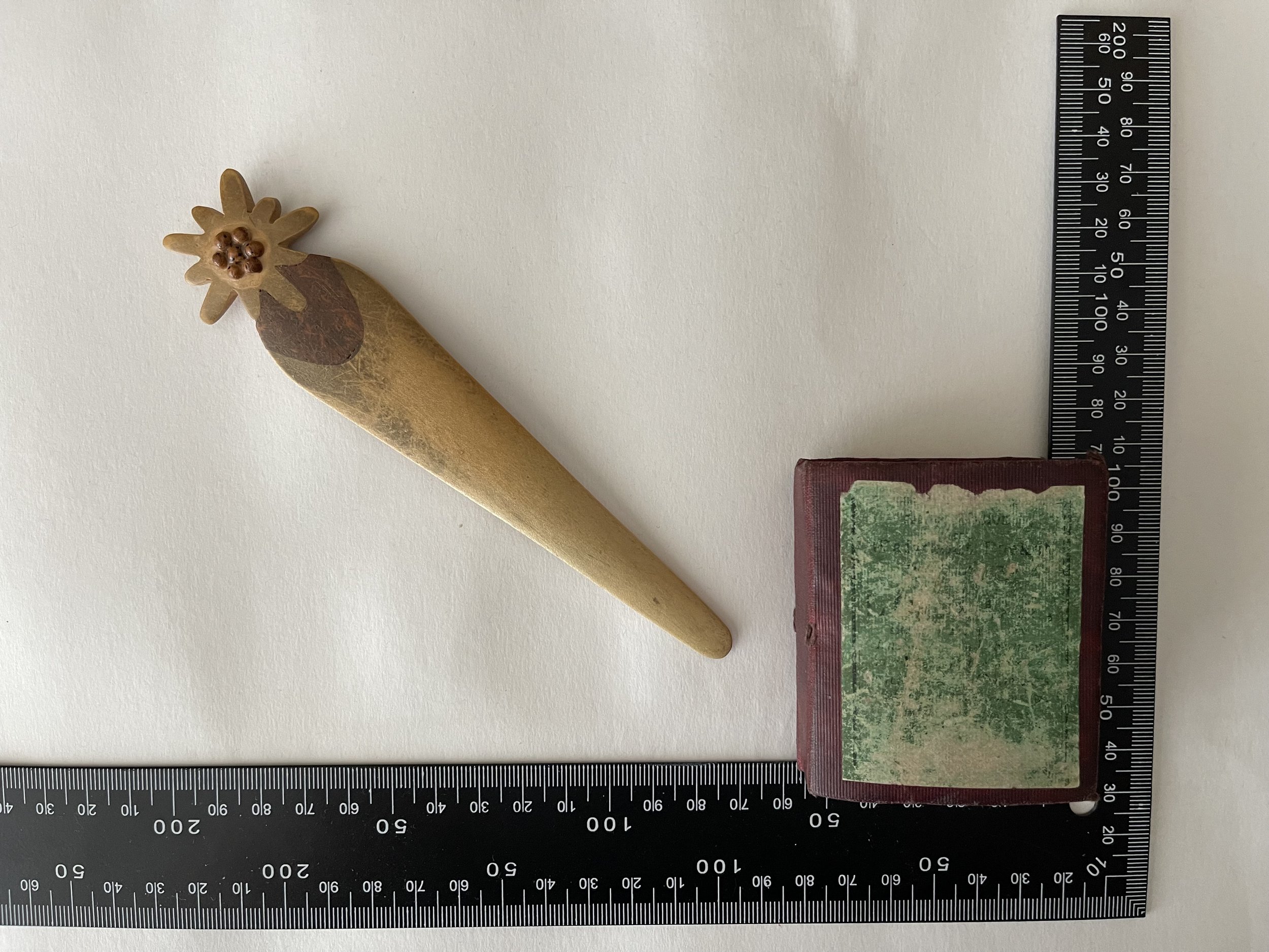
Linen backed with some segment plates lifting at the corner tips. One very small missing peice of the map in one segment (see photo with pointer) otherwise, Map intact. Labelling to front board still exists but script has worn away with use.
Condition and pricing commensurate based on its rarity. I have two of these maps for sale that I have located within the last 30 years.
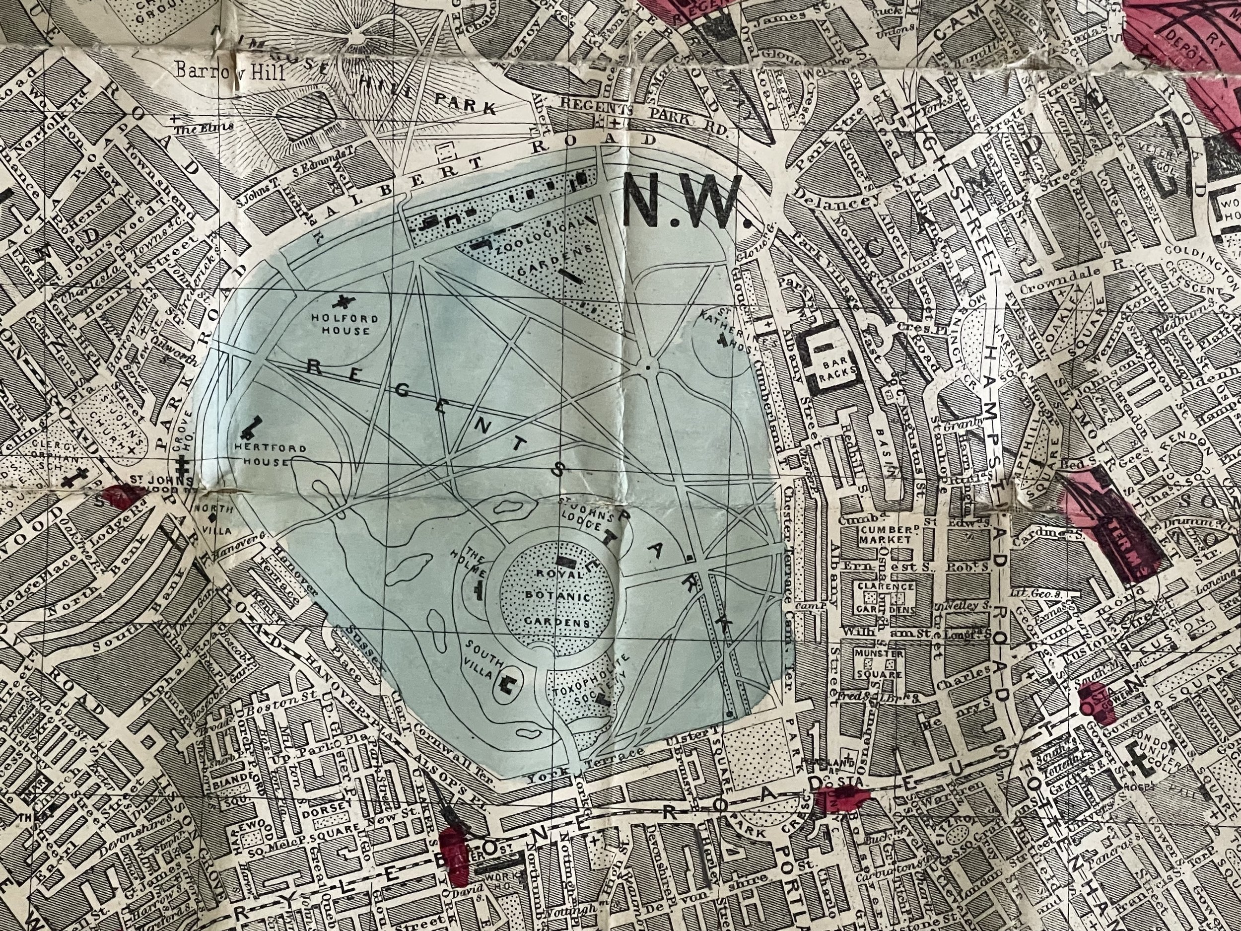
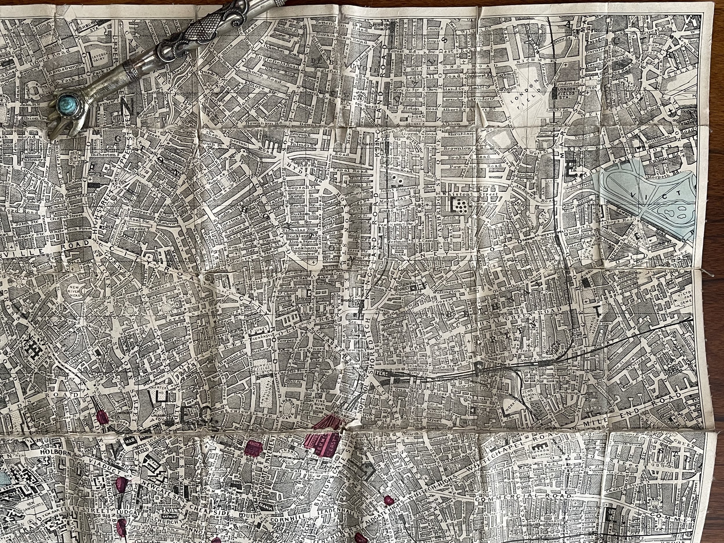
The waistcoat pocket map of London shewing all the new railways and recent metropolitan improvements - Dorrell & Son (Publisher) - Circa 1850-1880
Beautiful 19th Century waistcoat pocket Map of London from the mid 1800’s. Very little information available on the publisher Dorrell & Son or the cartographer. I will update if I manage to find further information .
Linen backed with some segment plates lifting at the corner tips. One very small missing peice of the map in one segment (see photo with pointer) otherwise, Map intact. Labelling to front board still exists but script has worn away with use.
Condition and pricing commensurate based on its rarity. I have two of these maps for sale that I have located within the last 30 years.
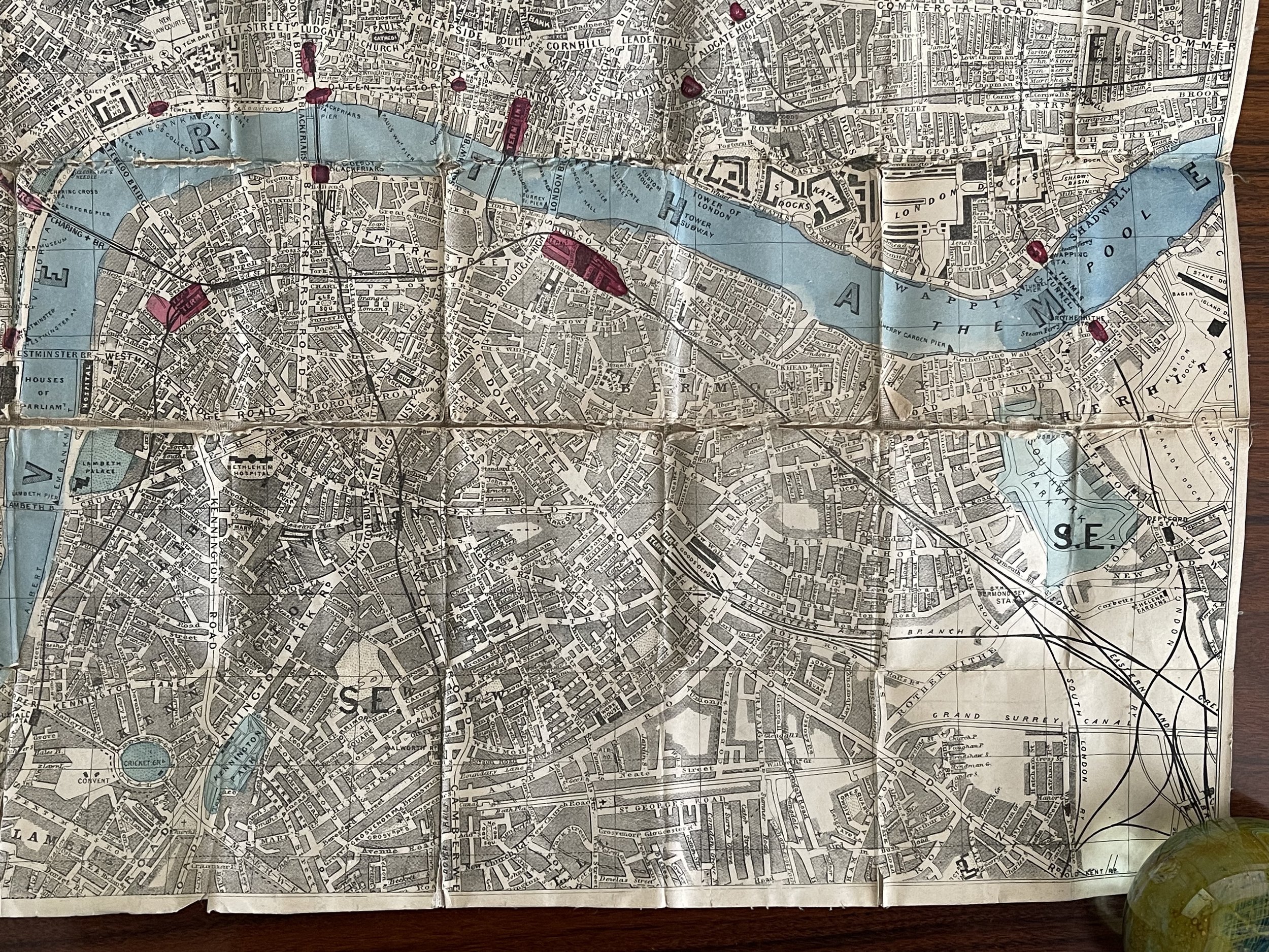
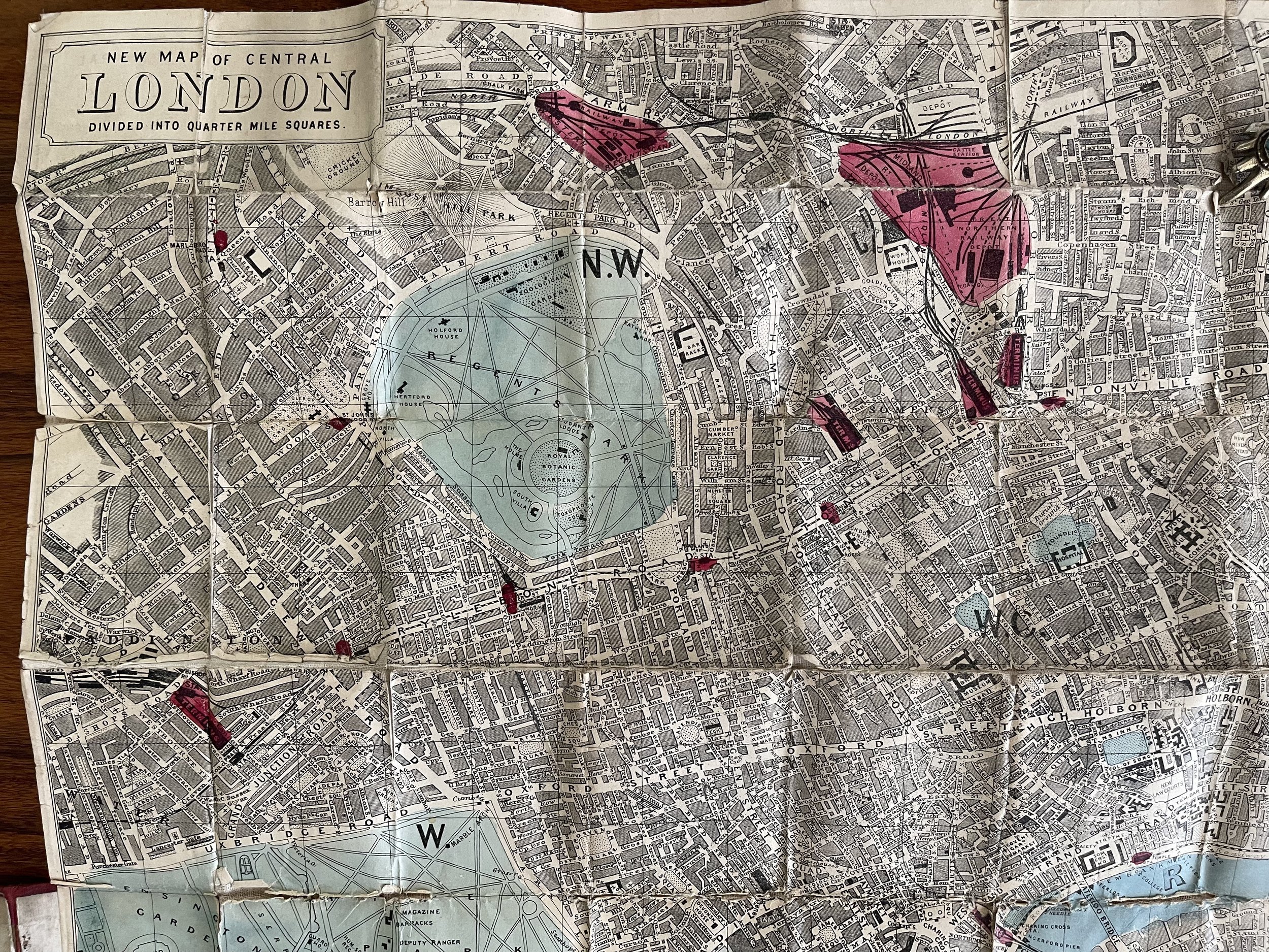
The waistcoat pocket map of London shewing all the new railways and recent metropolitan improvements - Dorrell & Son (Publisher) - Circa 1850-1880
Beautiful 19th Century waistcoat pocket Map of London from the mid 1800’s. Very little information available on the publisher Dorrell & Son or the cartographer. I will update if I manage to find further information .
Linen backed with some segment plates lifting at the corner tips. One very small missing peice of the map in one segment (see photo with pointer) otherwise, Map intact. Labelling to front board still exists but script has worn away with use.
Condition and pricing commensurate based on its rarity. I have two of these maps for sale that I have located within the last 30 years.
Code : A881
Cartographer : Cartographer / Engraver / Publisher: Dorrell & Son
Date : Publication Place / Date - 1850-1880
Size : Sheet size: Image Size: 55 X 41.5 cm
Availability : Available
Type - Genuine - Antique
Grading B+ - A-
Where Applicable - Folds as issued. Light box photo shows the folio leaf centre margin hinge ‘glue’, this is not visible otherwise.
Tracked postage, in casement. Please contact me for postal quotation outside of the UK.