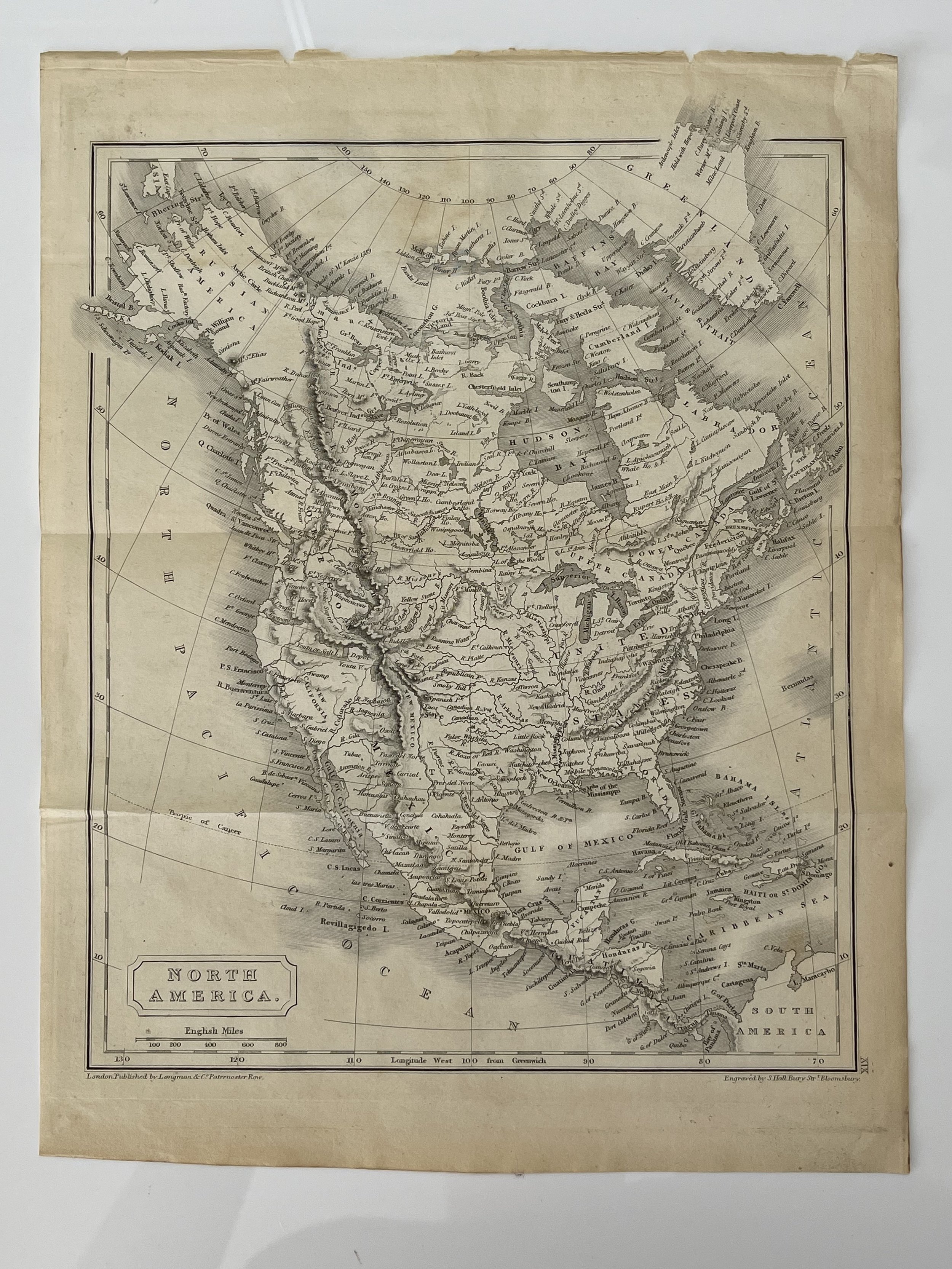
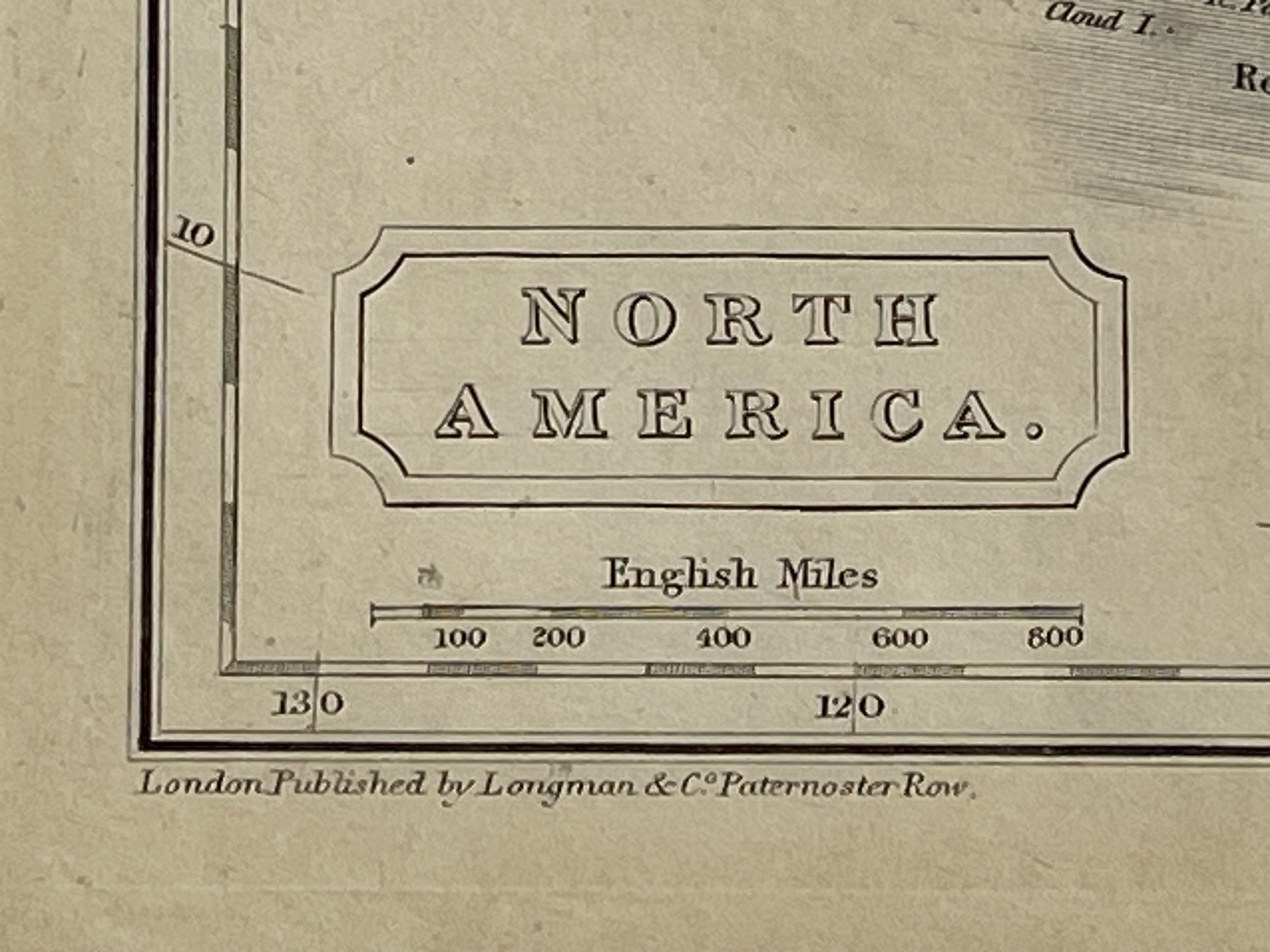
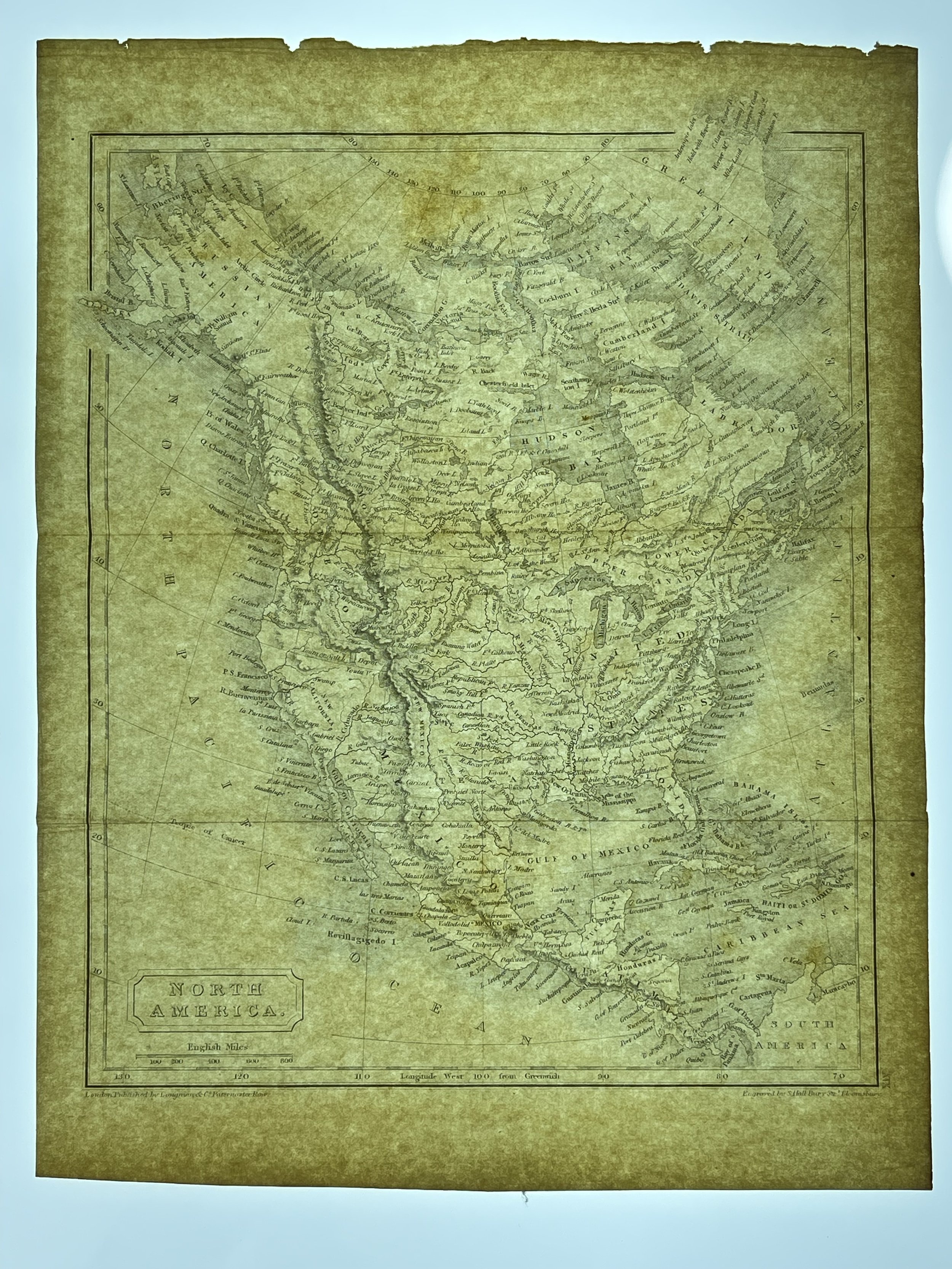
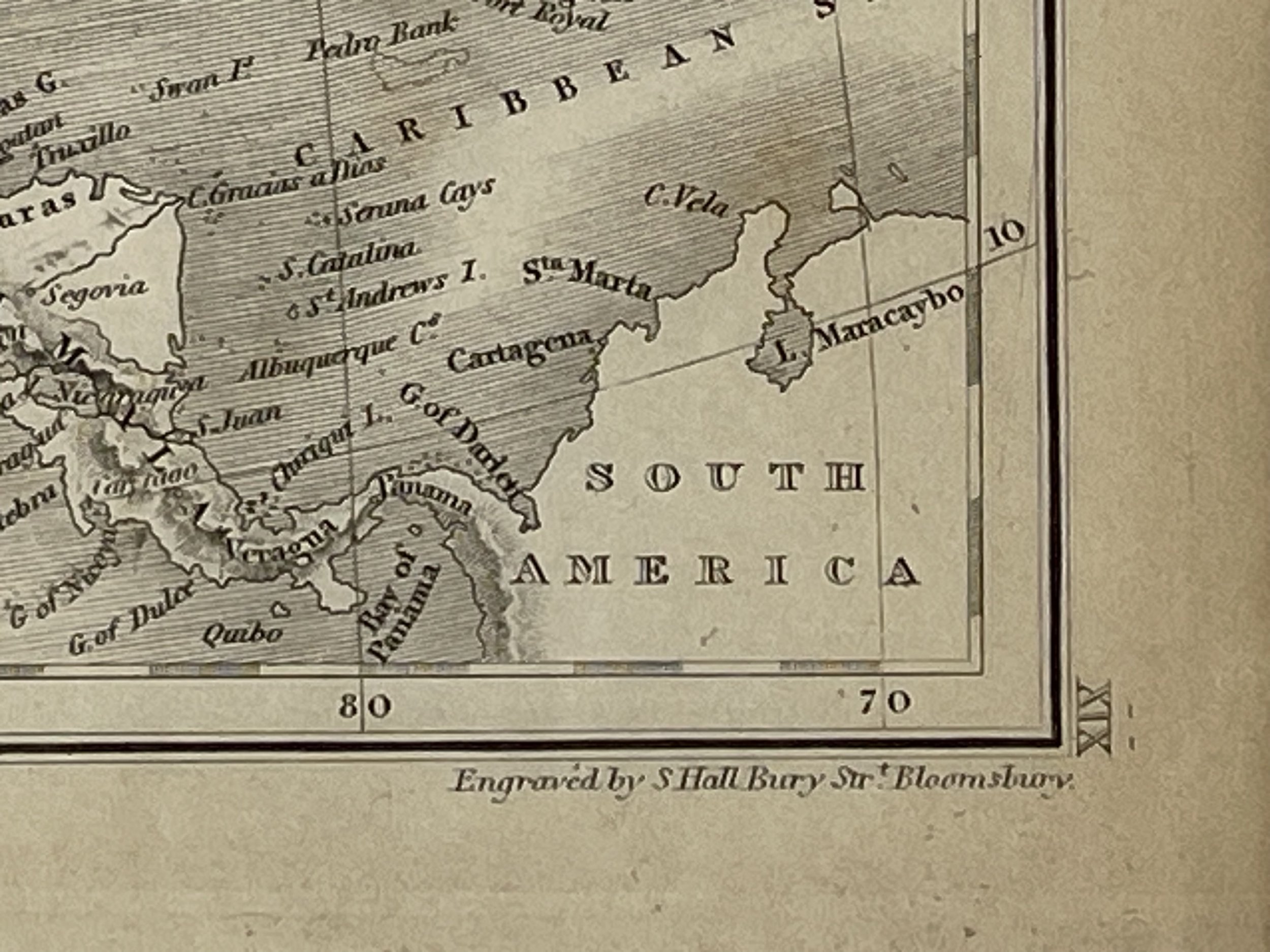
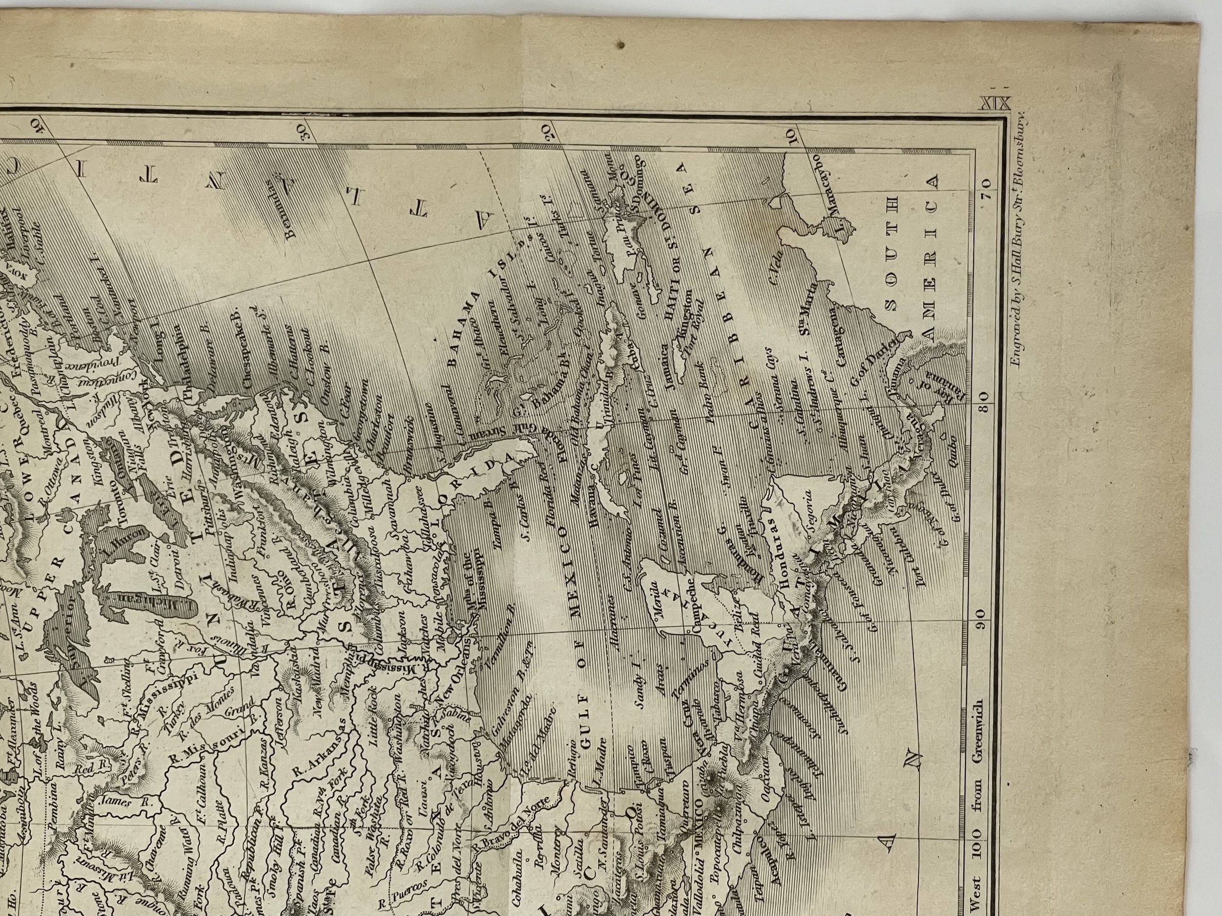
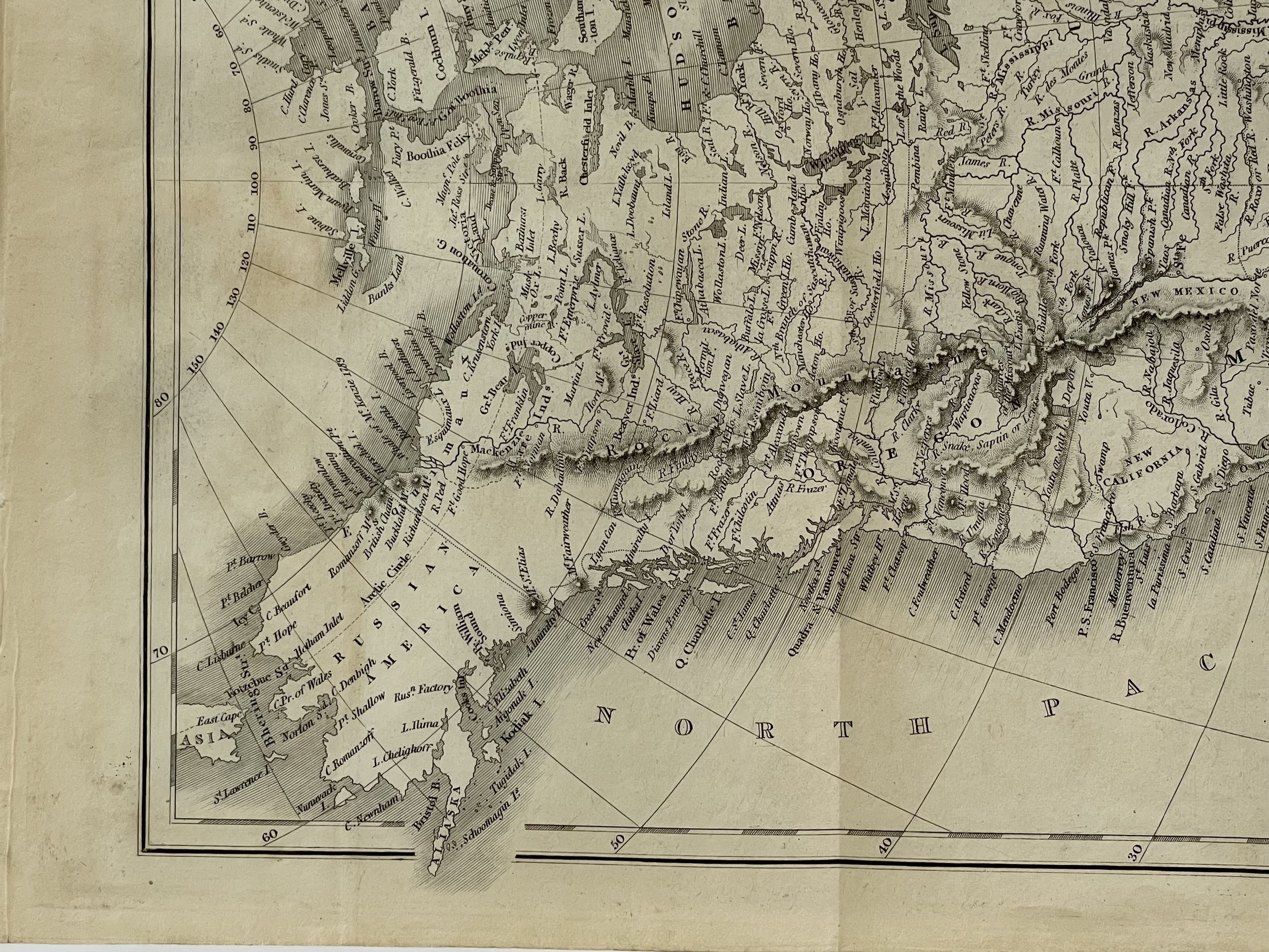
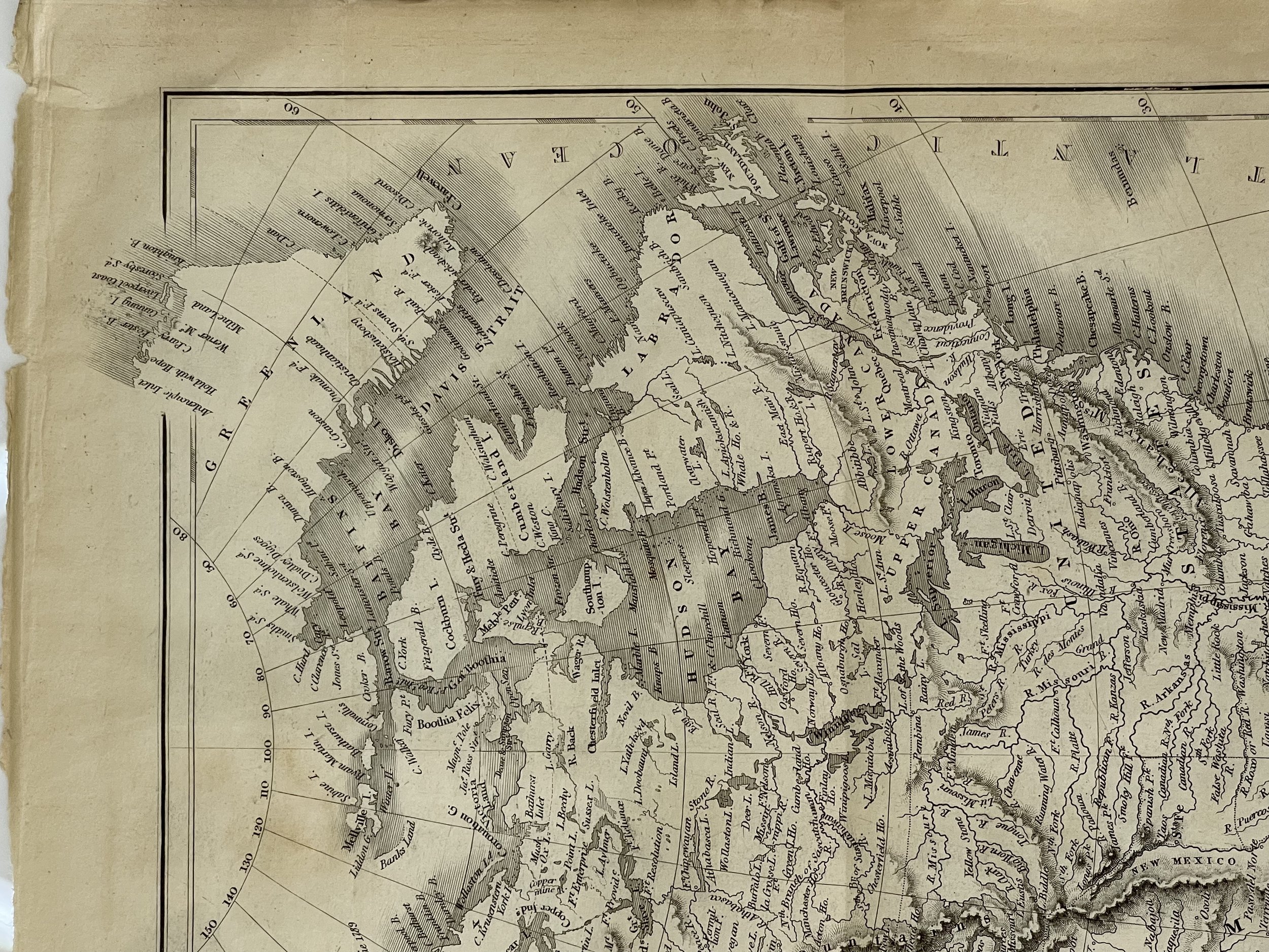
North America - Sidney Hall - Circa 1830
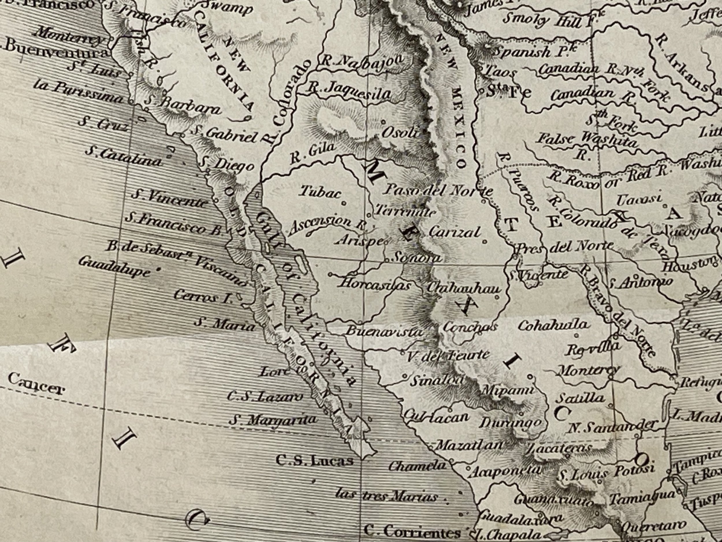
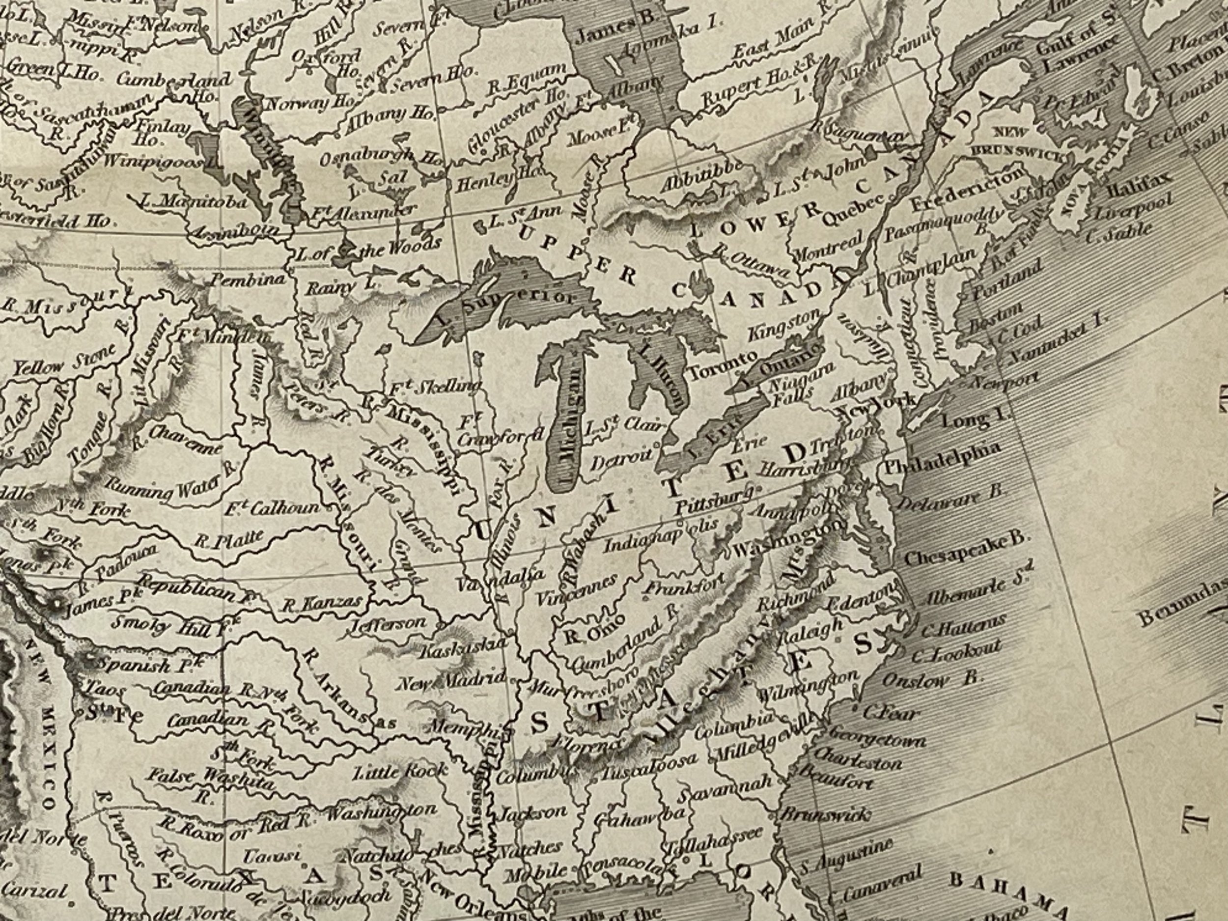
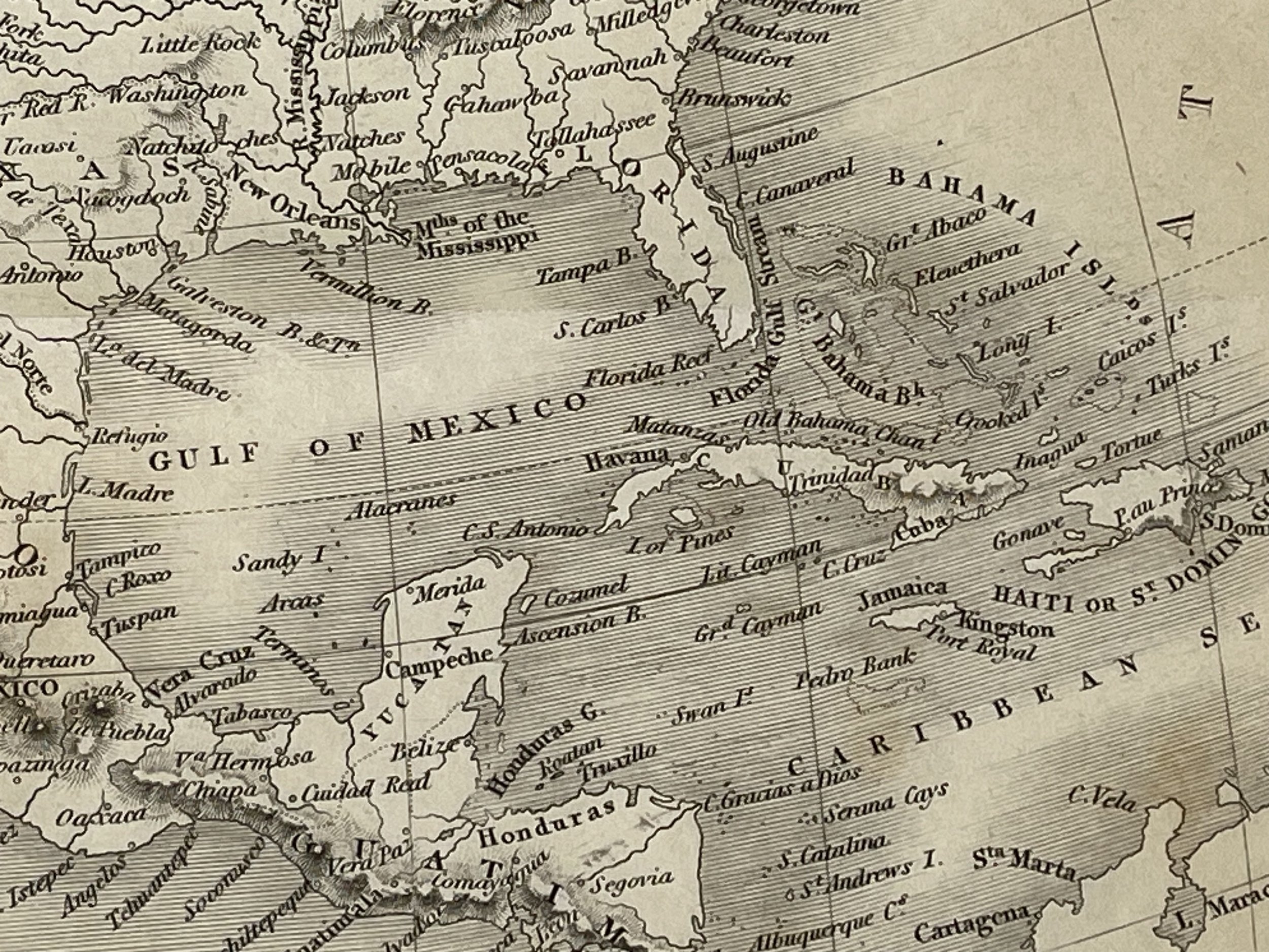
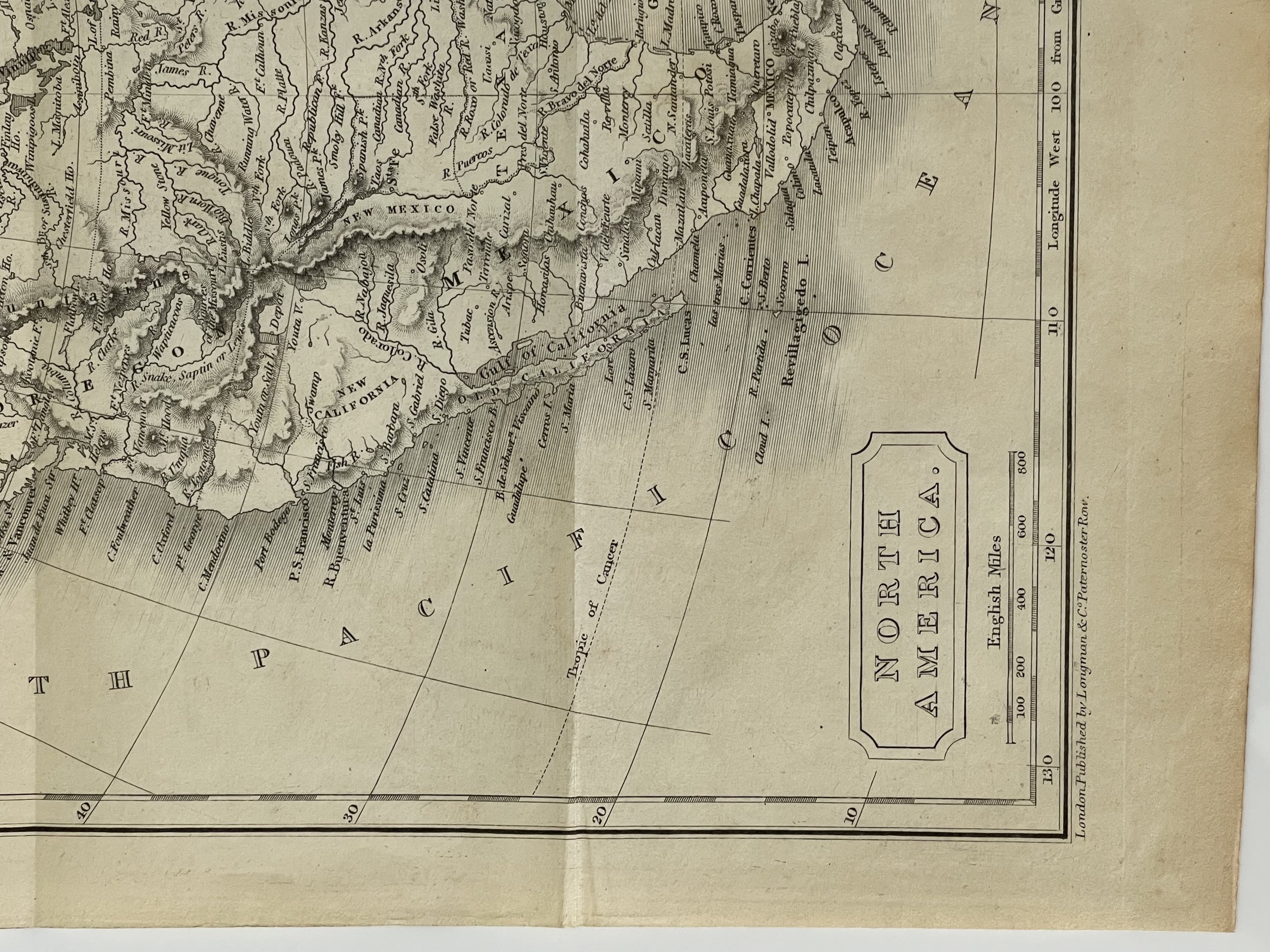
This is a meticulously crafted and visually appealing map of North America from the 19th century.
A smaller map from a different edition of A new general atlas, with the divisions and boundaries. Constructed entirely from new drawings and engraved by Sidney Hall. London, engraved for Longman, Rees, Orme, Brown and Green, Paternoster Row, Circa 1830.
Sidney Hall (1788?–1831) was a British engraver and cartographer well known and popular for his early nineteenth century atlases containing maps of the United Kingdom and of the ancient world reproduced from Hall's engravings. Hall made engravings for several international atlases at a time when cartography and atlases were very popular. He also engraved a series of cards for the various constellations, published c.1825 in a boxed set called Urania's Mirror. Hall engraved maps for William Faden, Aaron Arrowsmith, and Chapman & Hall, among many others.
In 1809 he operated at 5 Vine Street, Piccadilly, London. In 1814 he was in partnership with Michael Thomson operating at 14 Bury Street in the Bloomsbury District and later was listed at 18 Bury Street. Hall is credited with "almost certainly" being the first engraver to use steel plates in map engraving.
Hall died in 1831 at the age of 42. The business was carried on by map engraver Selina Hall, his widow.
Publisher: Longman, Hurst, Rees, Orme & Brown, London
Longman & Company.
Publishers of books and prints, known under a series of names reflecting successive partnerships. On the database the term Longman is used for the firm at all periods of its history.
The founder of the firm, Thomas Longman (1699-1755) was apprenticed in 1716 to John Osborn, the London bookseller, and eventually married his daughter. In1724, he took over the business of William Taylor at the Black Swan and the Ship in Paternoster Row. In 1754, he took his nephew, also Thomas Longman (1730-1797), into partnership; one of the younger Longman's sons, Thomas Norton Longman (1771-1842) succeeded to the business, in turn his sons, Thomas (1804-1879) and William (1813-1877) took over, to be followed by the former's son, Thoms Norton Longman. A succession of partners joined: 1794, Owen Rees; 1804, Hurst and Orme; 1811, Thomas Brown (1777-1869); 1824, Green. Around 1817 Longman & Co published some drawing books after Brookshaw together with John Lepard (q.v.). In 1863 the firm took over the business of John W. Parker, Son, & Bourne, and in 1890, the firm of Rivington (q.v.). Robert Guy and William L Longman became partners in 1909.
In the 1950s the firm moved from Paternoster Row to Harlow, Essex. In 1968, it was taken over by the Financial and Provincial Publishing Company, and in 1970 (under the management of Mark Longman) merged with Penguin Books, becoming the Pearson Longman Group. Extensive archives are preserved at the University of Reading.
At the time of its publication, the southwestern region of present-day United States, including California, was under Mexican control. The Oregon Territory was also disputed and claimed by both Great Britain and the United States, while Alaska marked the easternmost extent of the Russian Empire. However, significant changes would soon occur, such as the Mexican American War (1846-1848) and the resulting Treaty of Guadalupe Hidalgo (1848), which altered the borders significantly. Additionally, the boundary dispute between Britain and America was resolved through the Oregon Treaty of 1846, which established the 49th parallel as the new boundary. Later, Alaska was purchased from Russia in 1867 at a bargain price of just 2 cents per acre.
Steel Engraving in excellent condition. Pricing and grading commensurate.
Code : A1057
Cartographer : Cartographer / Engraver / Publisher: Sidney Hall
Date : Publication Place / Date - 1830
Size : Sheet size: 22 x 29 Cm
Availability : Available
Type - Genuine - Antique
Grading A
Where Applicable - Folds as issued. Light box photo shows the folio leaf centre margin hinge ‘glue’, this is not visible otherwise.
Tracked postage, in casement. Please contact me for postal quotation outside of the UK.
