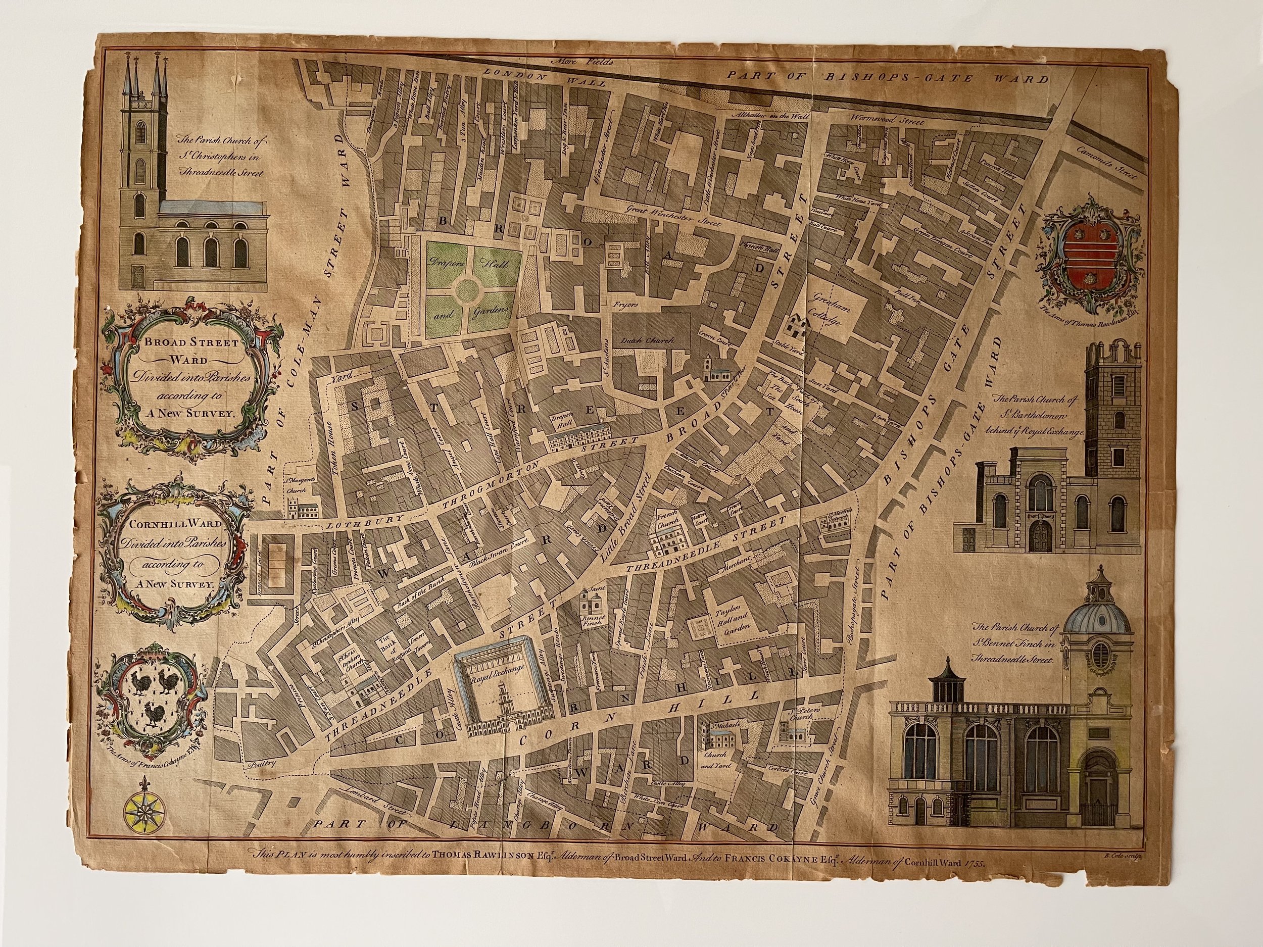
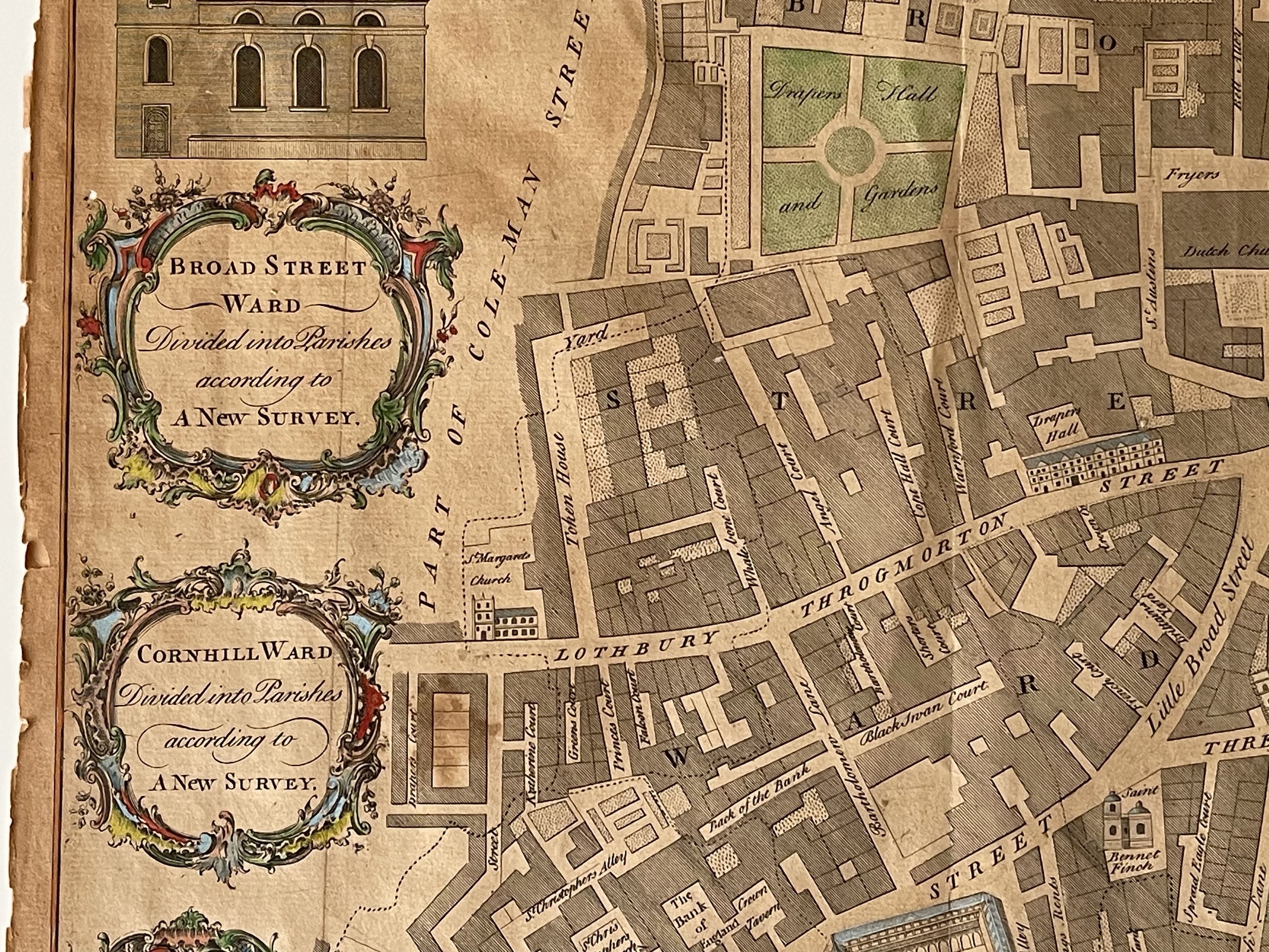
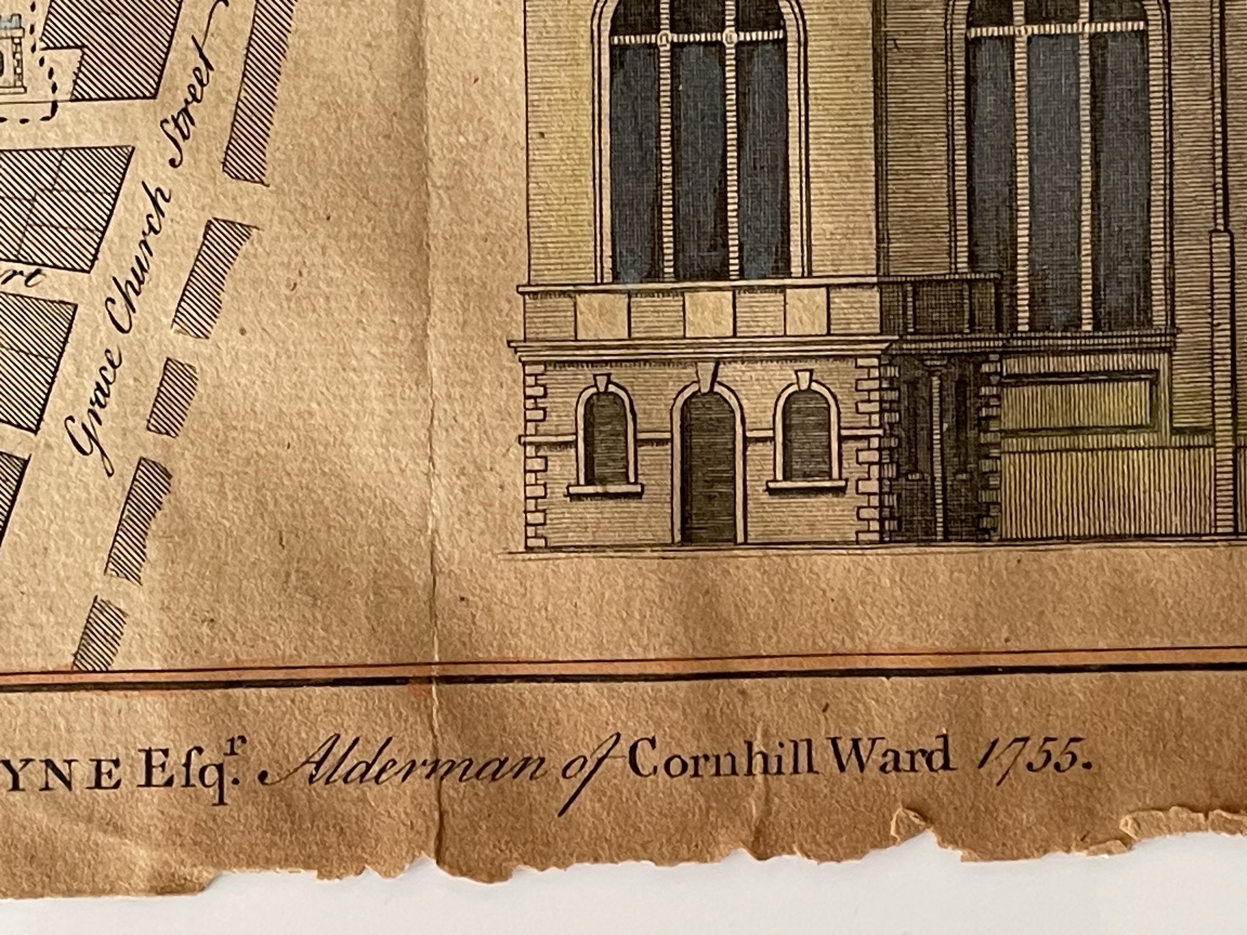
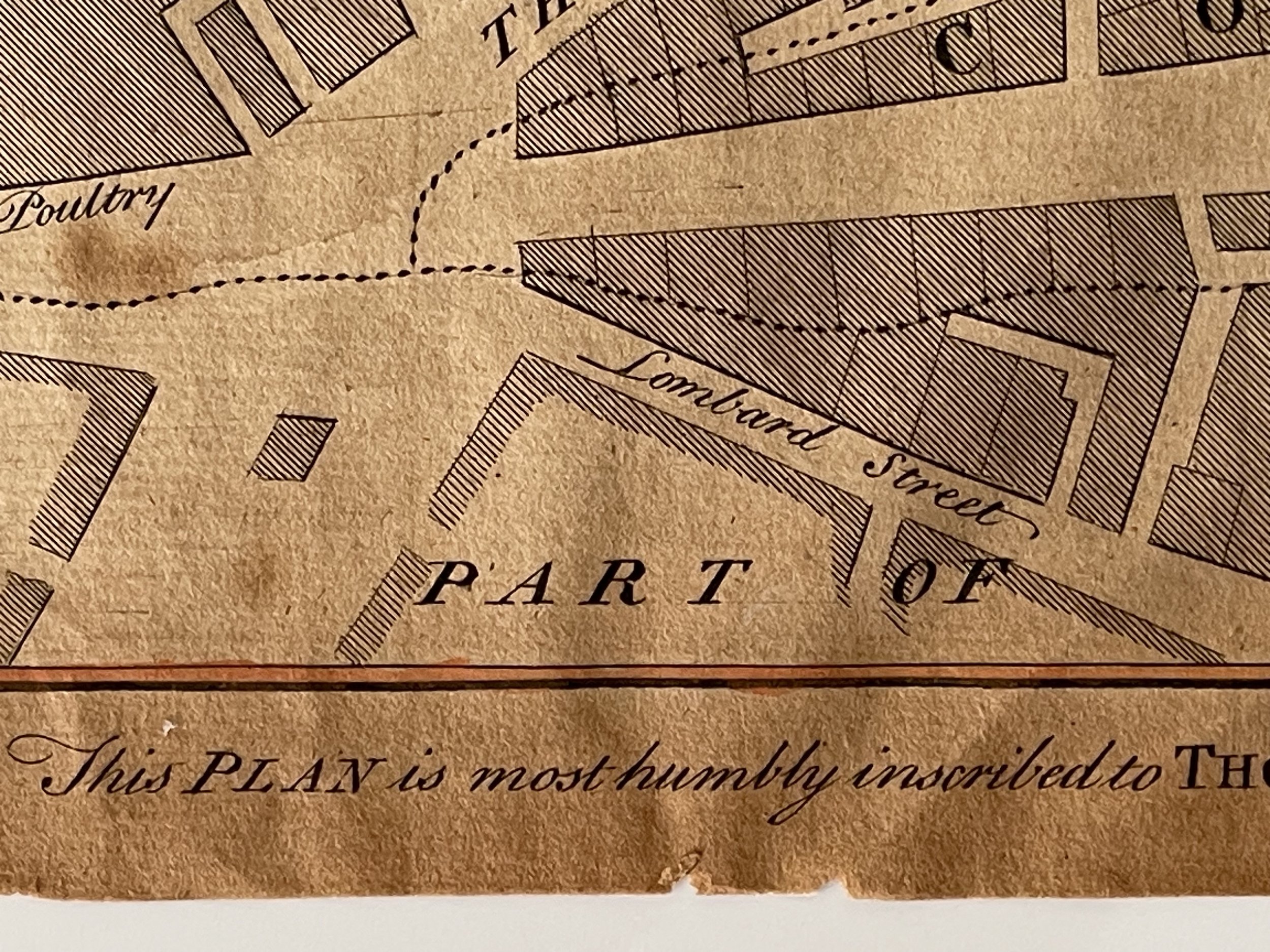
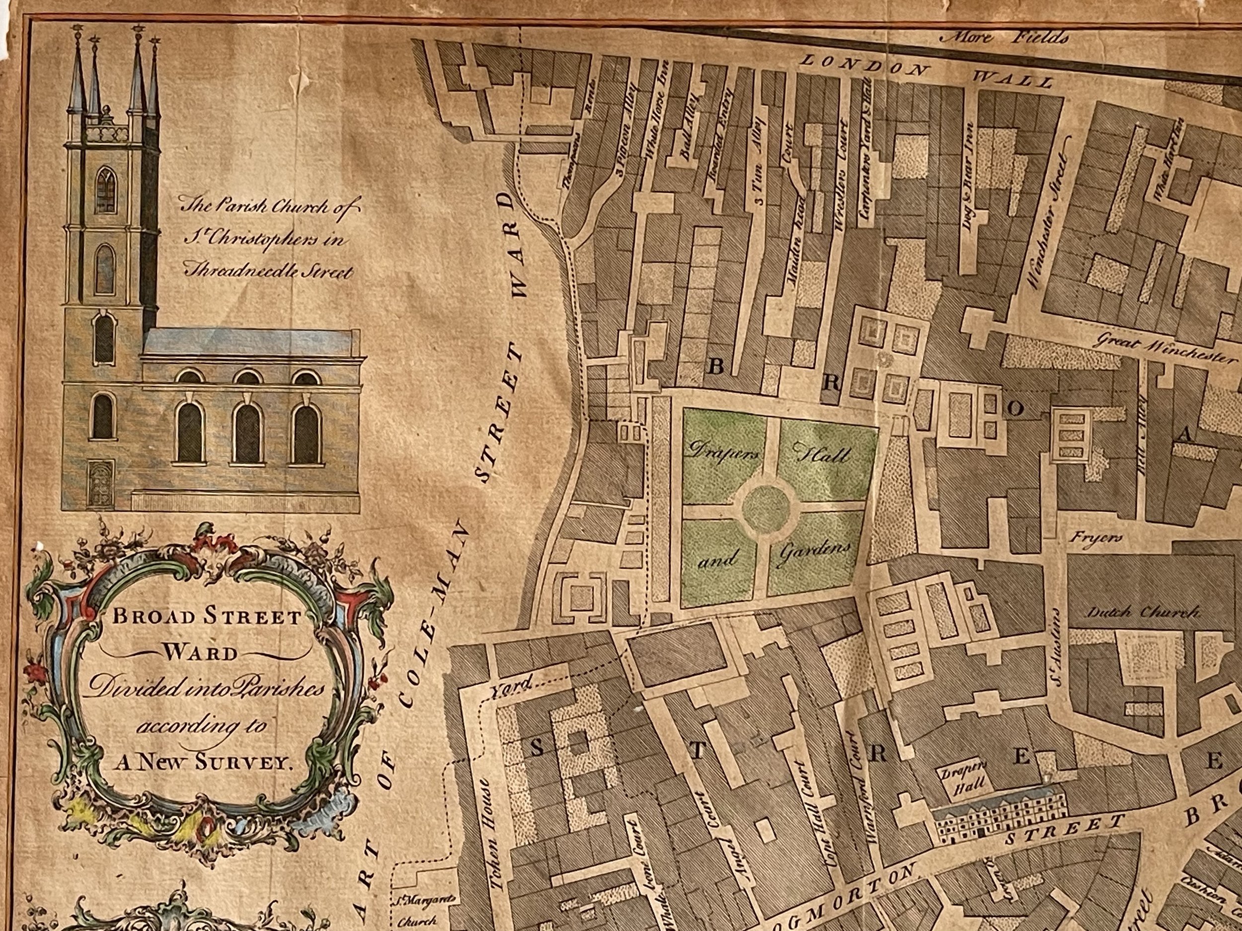
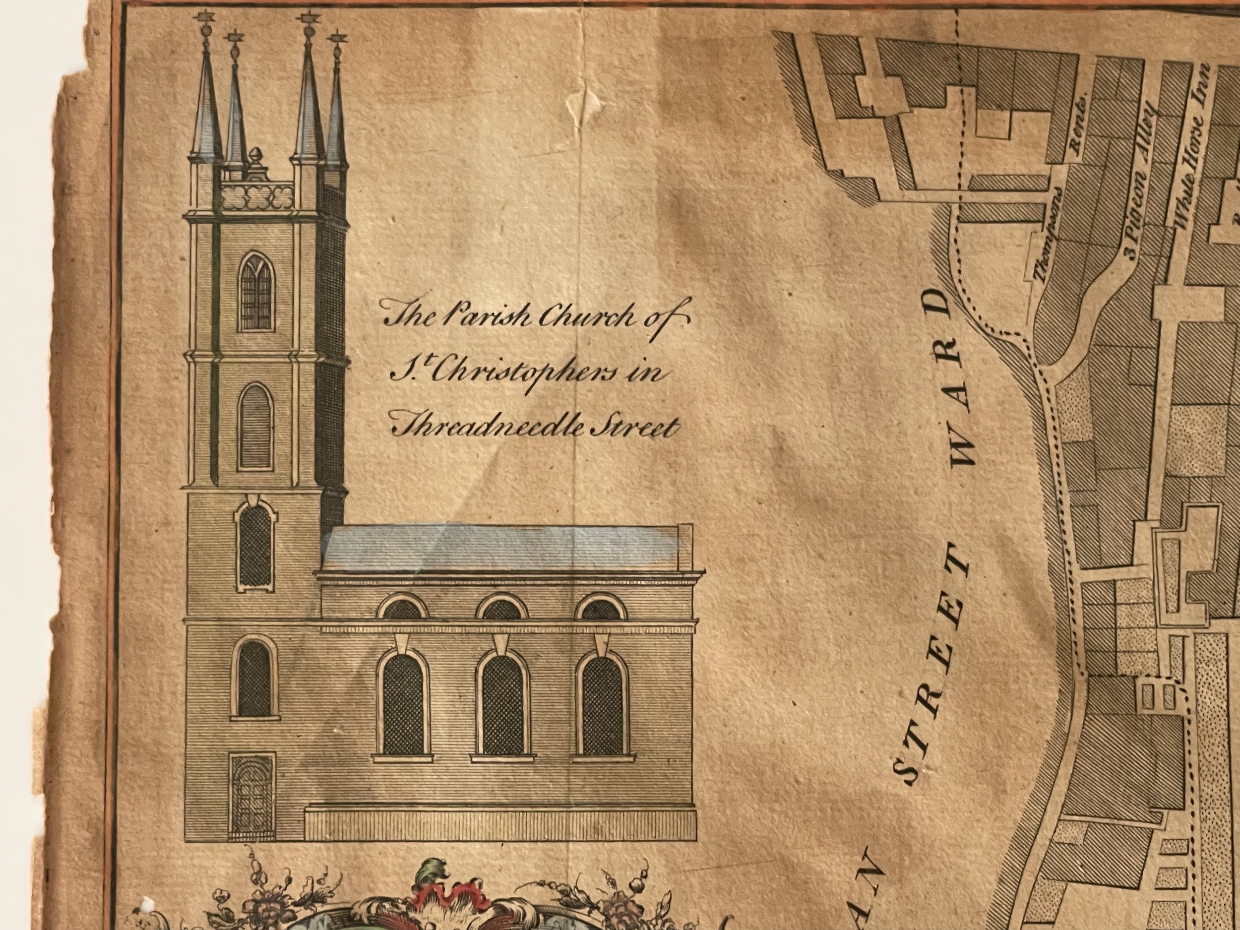
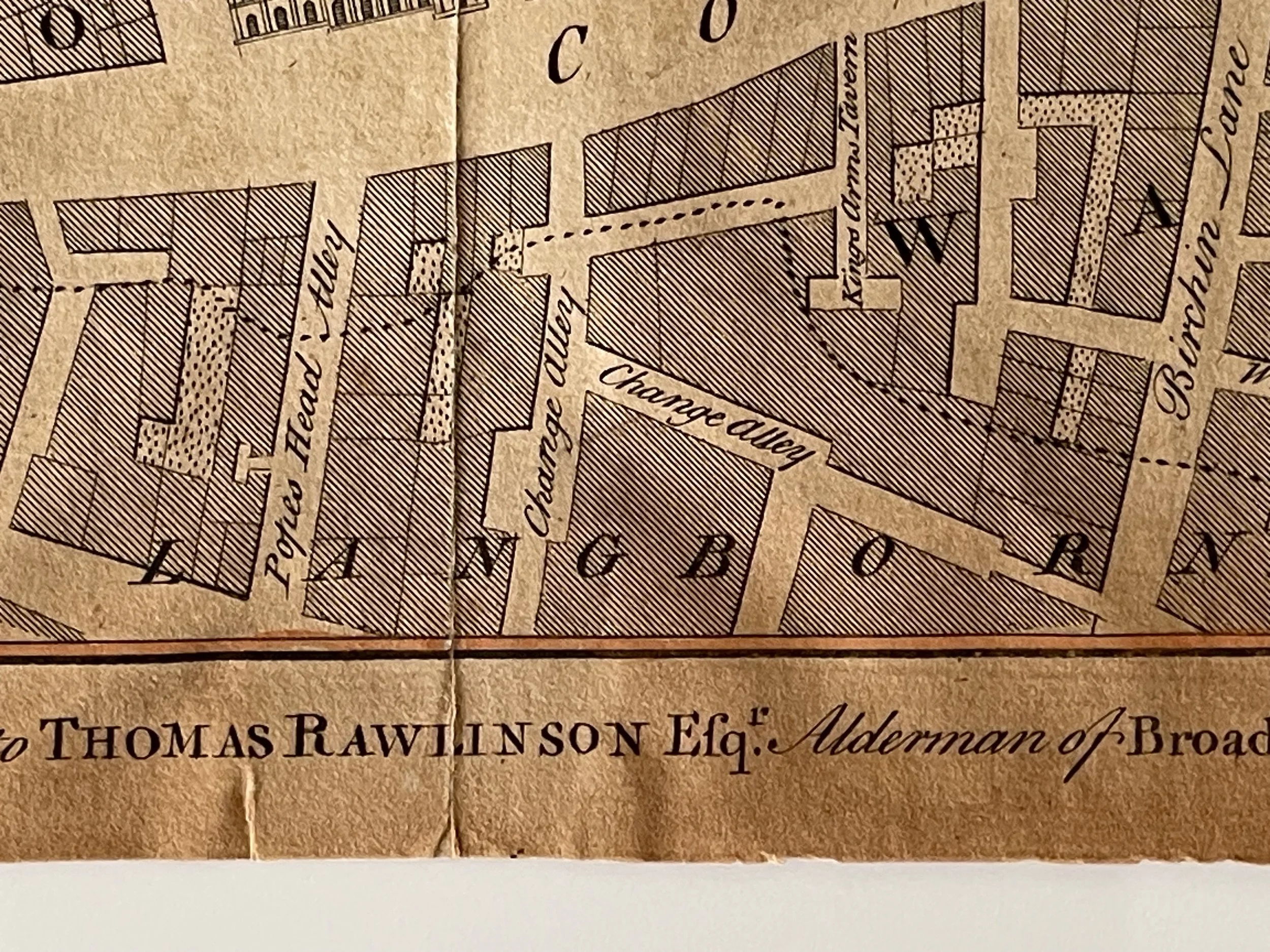
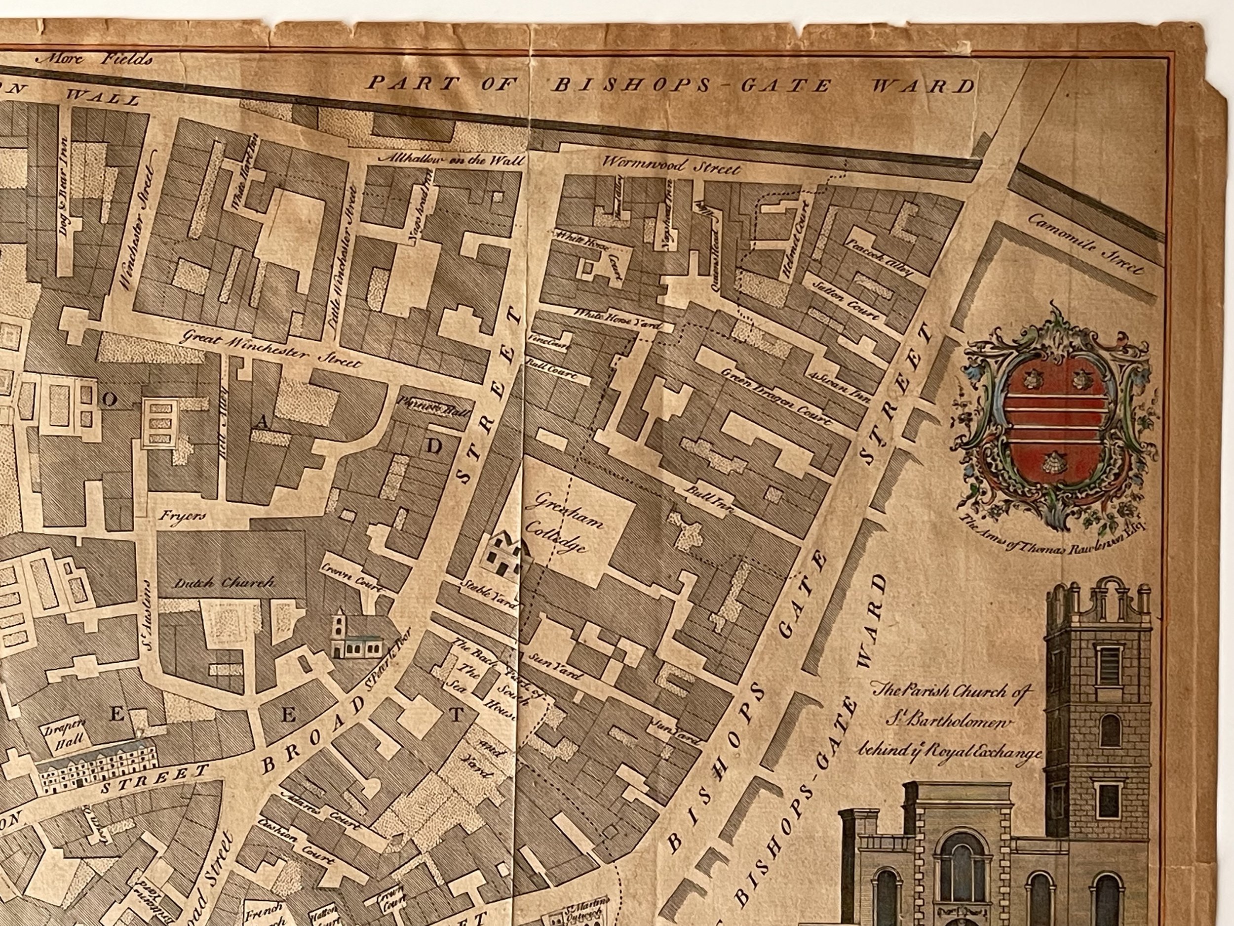
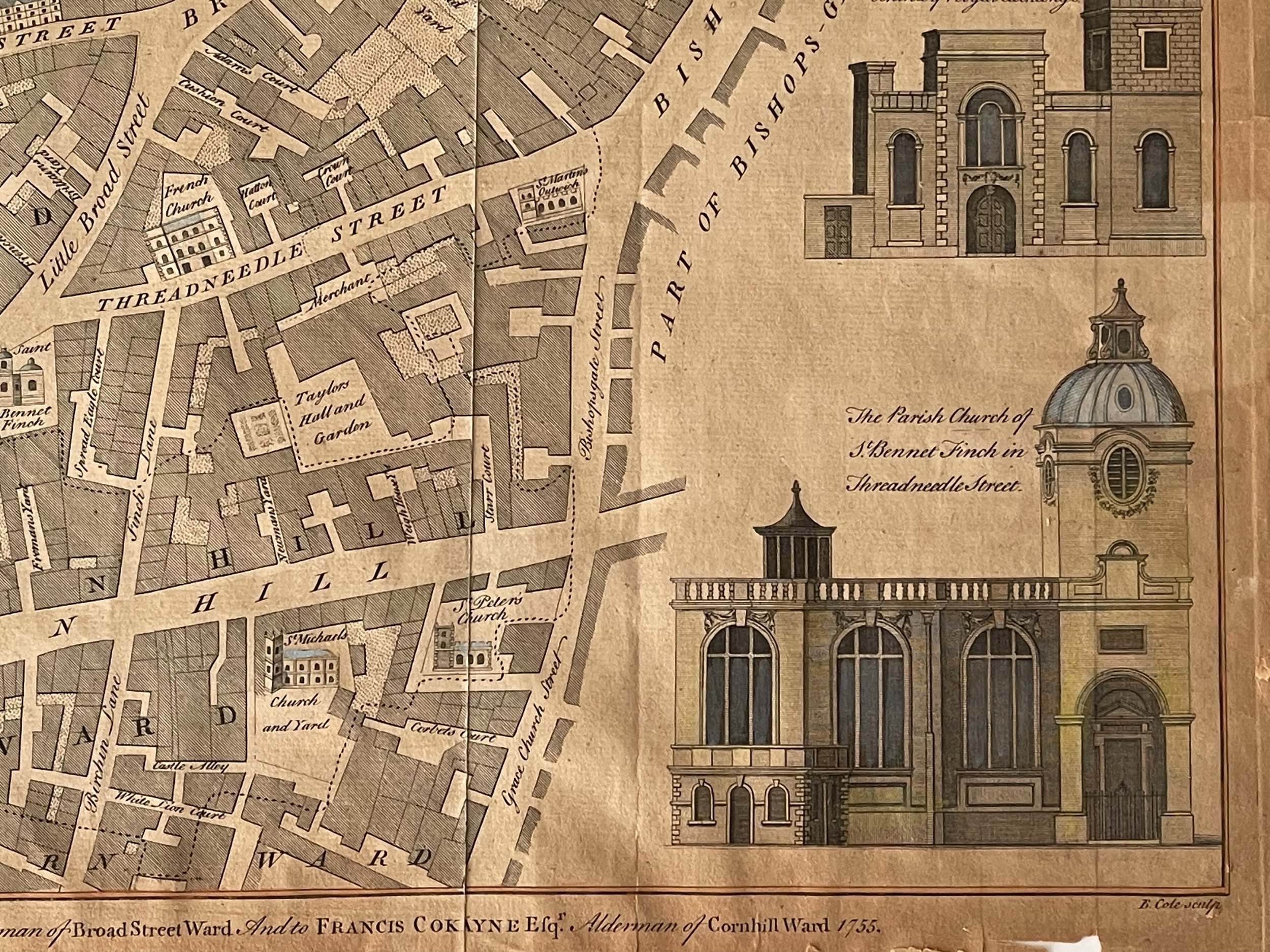
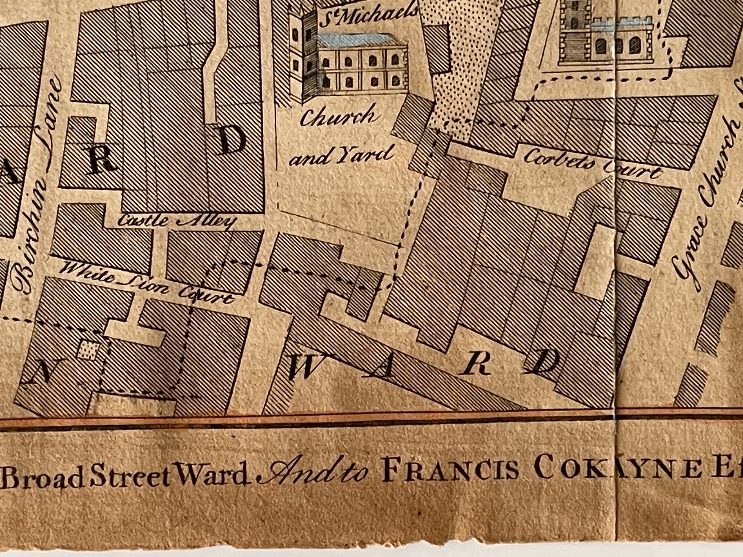
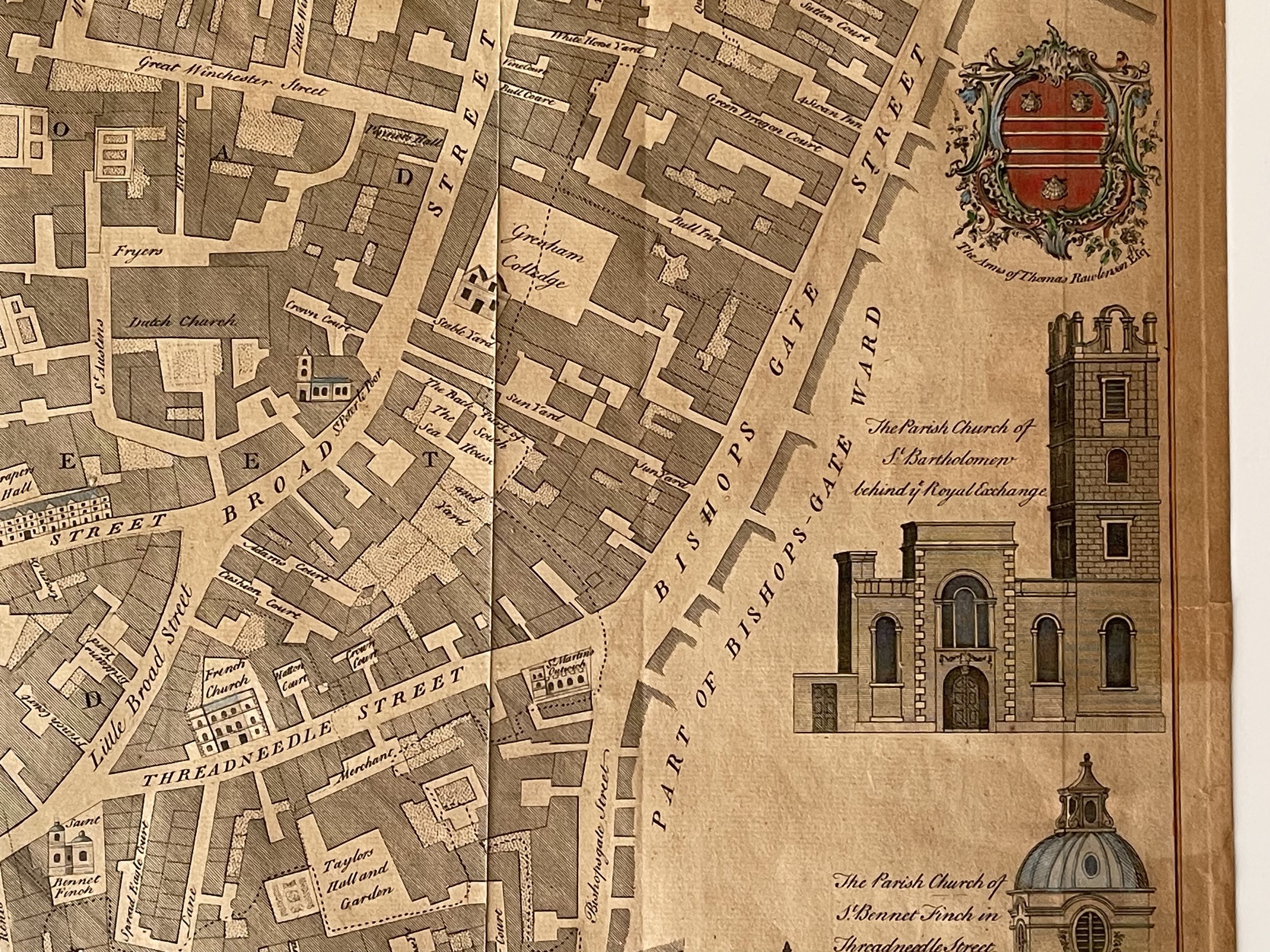
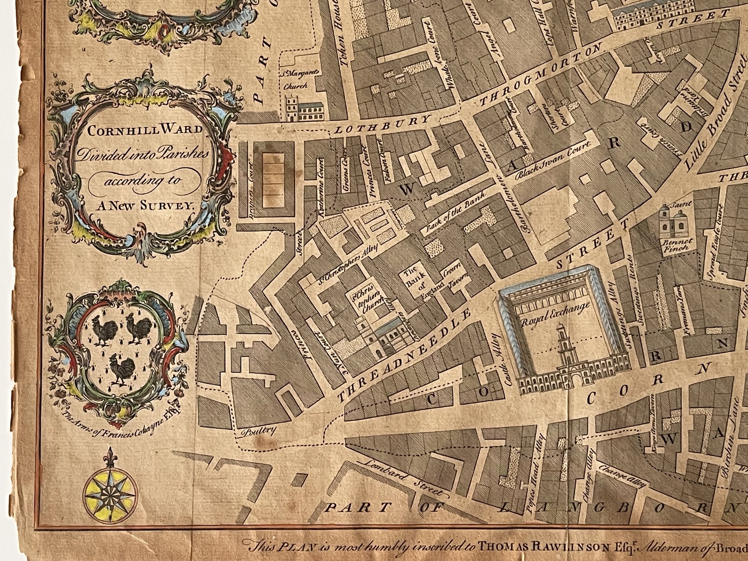
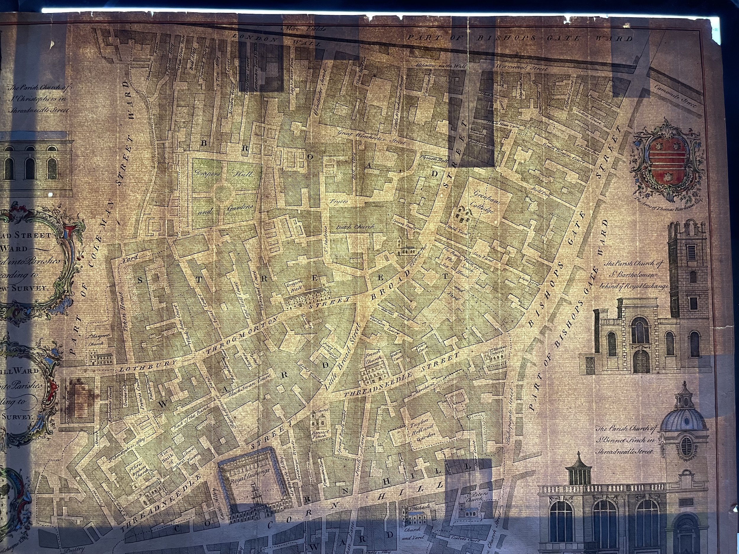
Broad street and Cornhill Wards - Divided by parishes in England - Benjamin Cole - 1755
A map drawn of 2 wards divided by parishes in England, dated 1755, B. Cole. Working through the eighteenth century, Benjamin Cole was a well-known English engraver, illustrator and map seller. He began as an apprentice in 1739, to his father (also Benjamin), a renowned instrument maker. He went on to draw and engrave the London ward maps for the first edition of William Maitland's History of London from Its Foundation to the Present Time (1769), having already provided them John Entick's New and Accurate History and Survey of London (1766).
These same plates were also used for Thornton's New & Complete History & Survey of London & Westminster, published between 1775-1780. He also engraved maps for some of French map-maker John Rocque’s published works. In 1728-9, given his connections to freemasonry, Cole published a spectacular engraved edition of the historic masonic charters and manuscripts, Old Charges, with various masonic songs and speeches.
He later published a separate collection of masonic songs and engraved the frontispiece of the 1756 Book of Constitutions. In 1743, Cole took over the production of the engraved lists from John Pine, continuing their publication until 1767, when the responsibility passed to his brother, William. Benjamin Cole also illustrated children’s books and military manuals, completing a remarkable and varied engraving career. He died in 1813.
Map has sun damage and some tape to the rear but the image is still very clean and pronounced. Pricing and grading commensurate.
Code : A336
Cartographer : Cartographer / Engraver / Publisher: Benjamin Cole
Date : Publication Place / Date - Circa 1755
Size : Sheet size: Image Size: 33.5 x 46.5 cm
Availability : Available
Type - Genuine - Antique
Grading B-
Where Applicable - Folds as issued. Light box photo shows the folio leaf centre margin hinge ‘glue’, this is not visible otherwise.
Tracked postage, in casement. Please contact me for postal quotation outside of the UK.