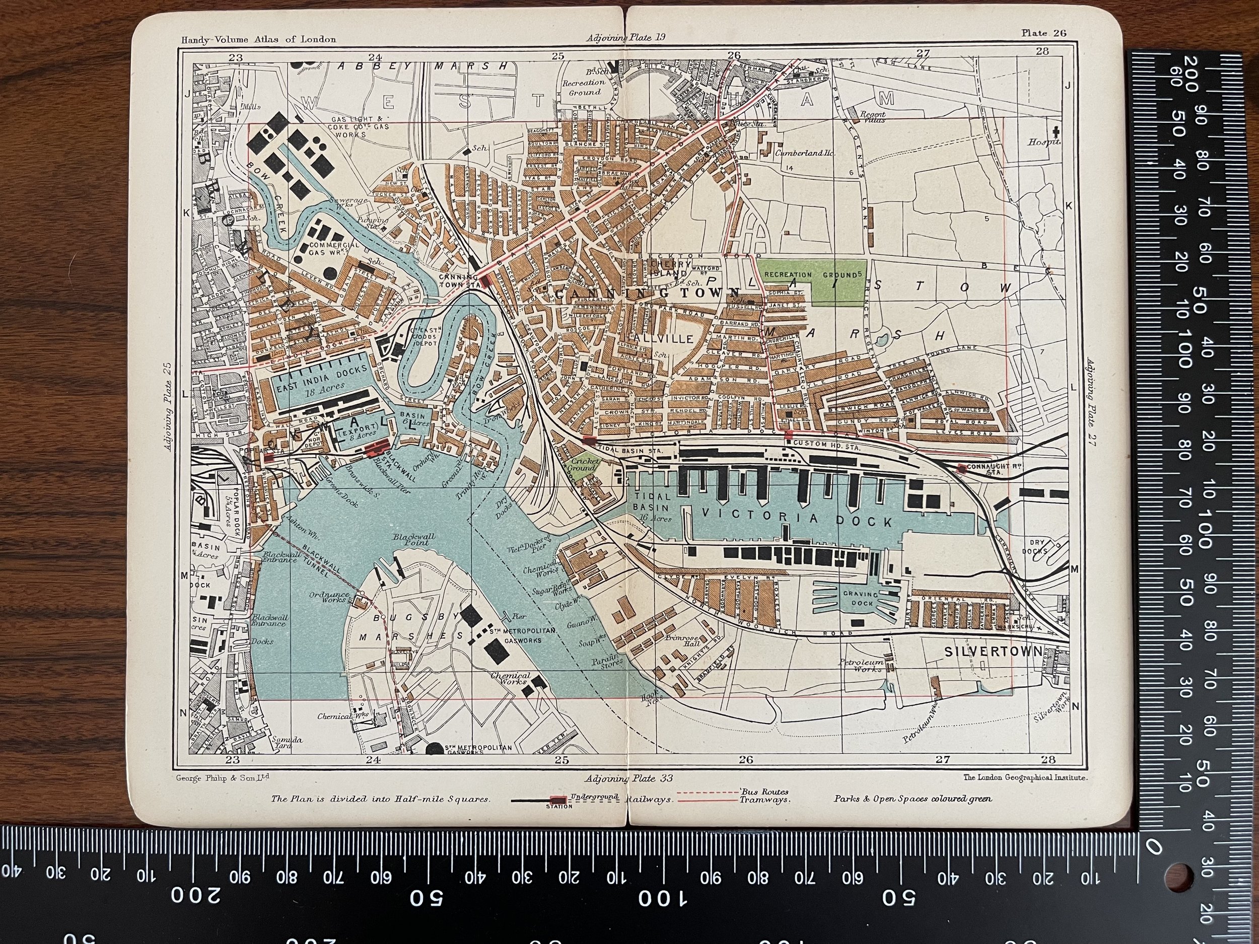
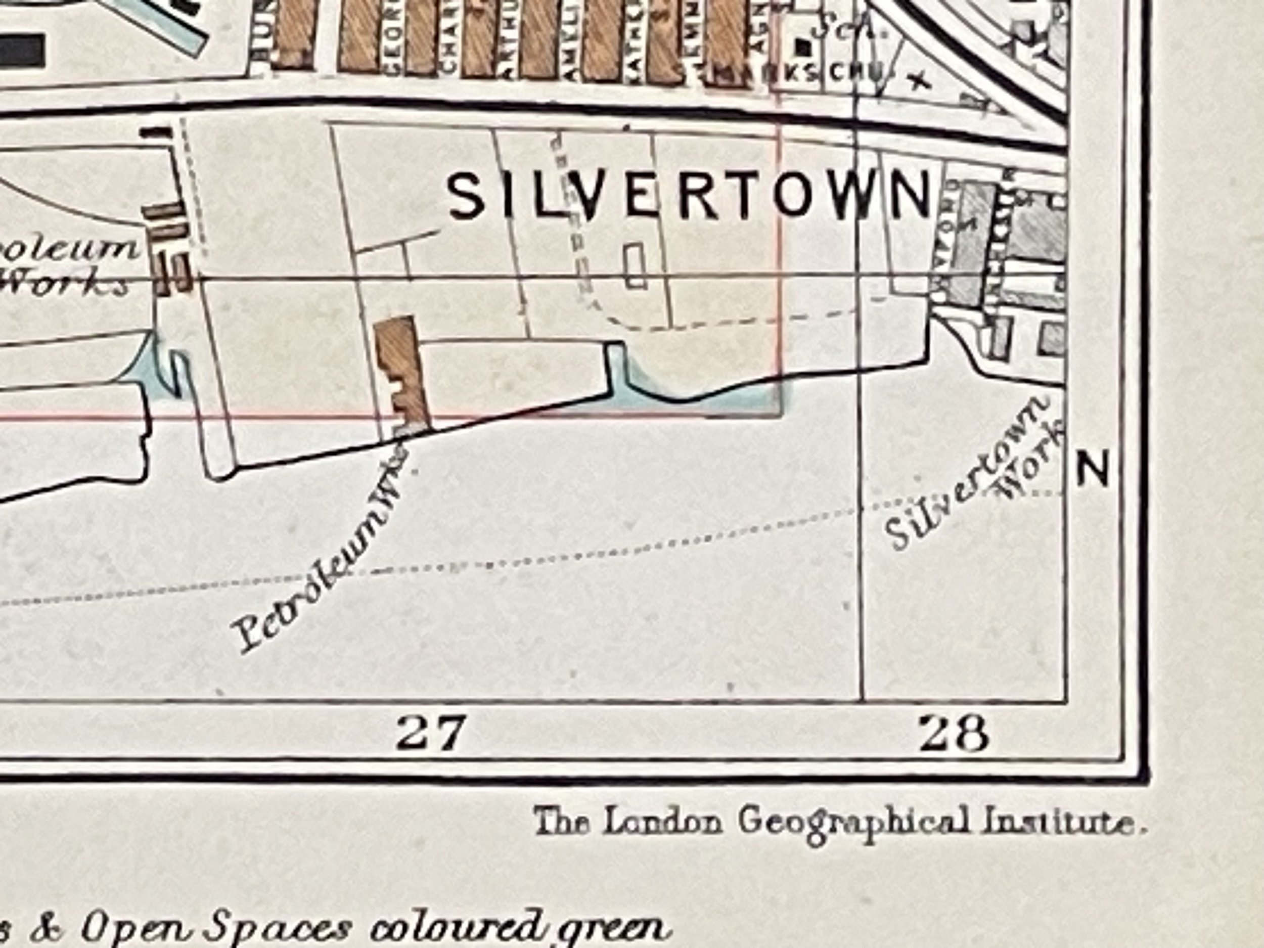

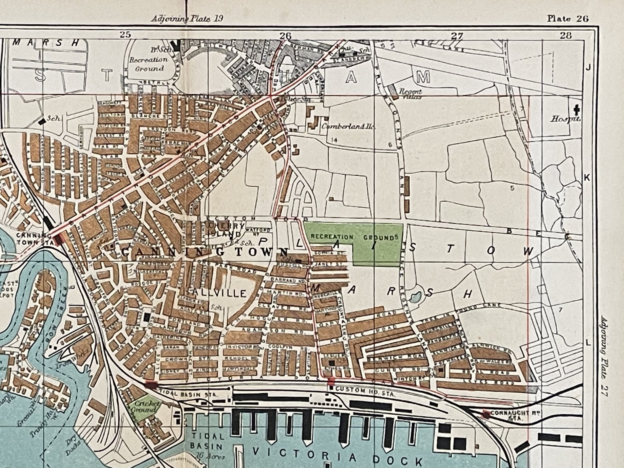

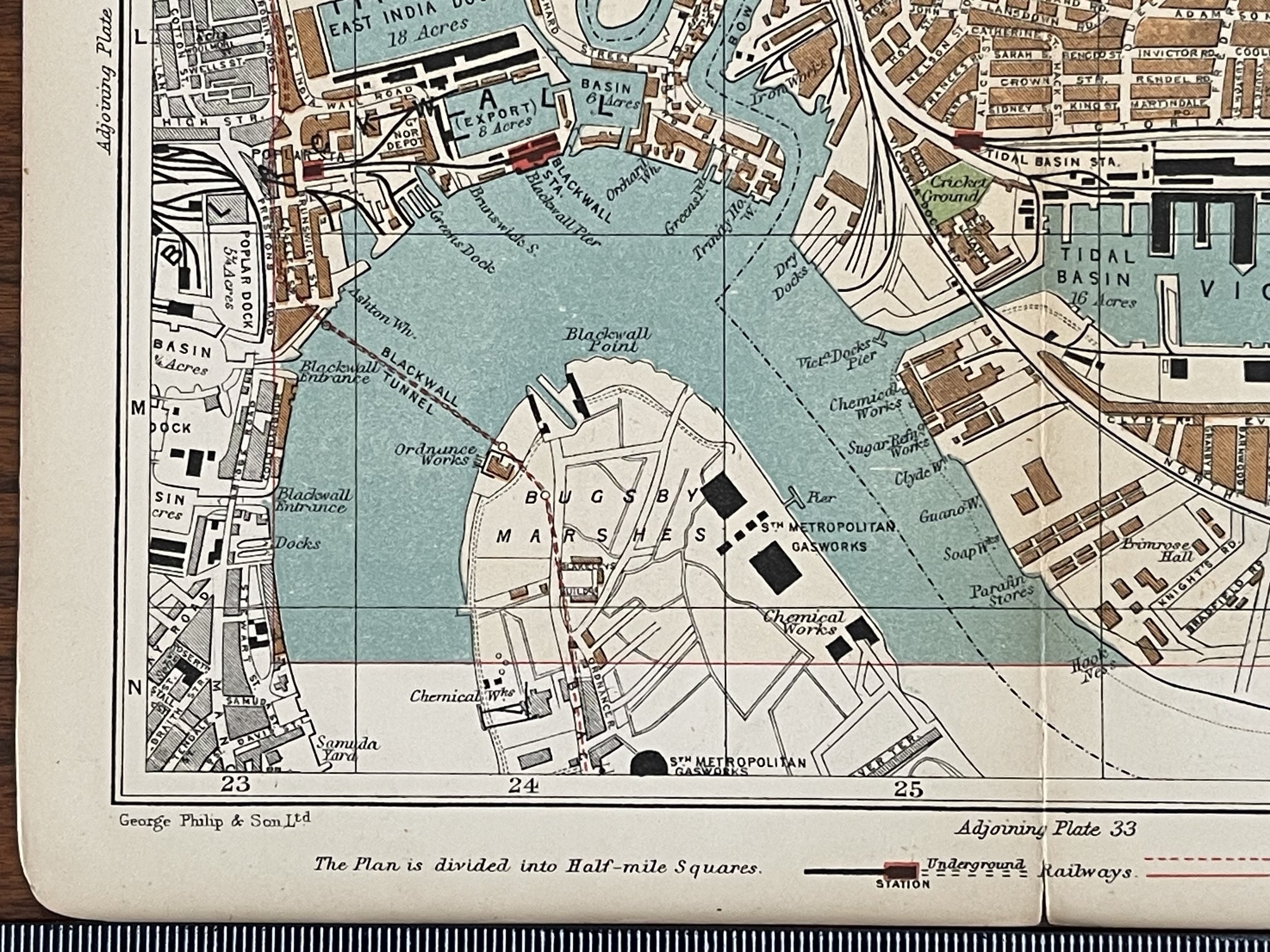
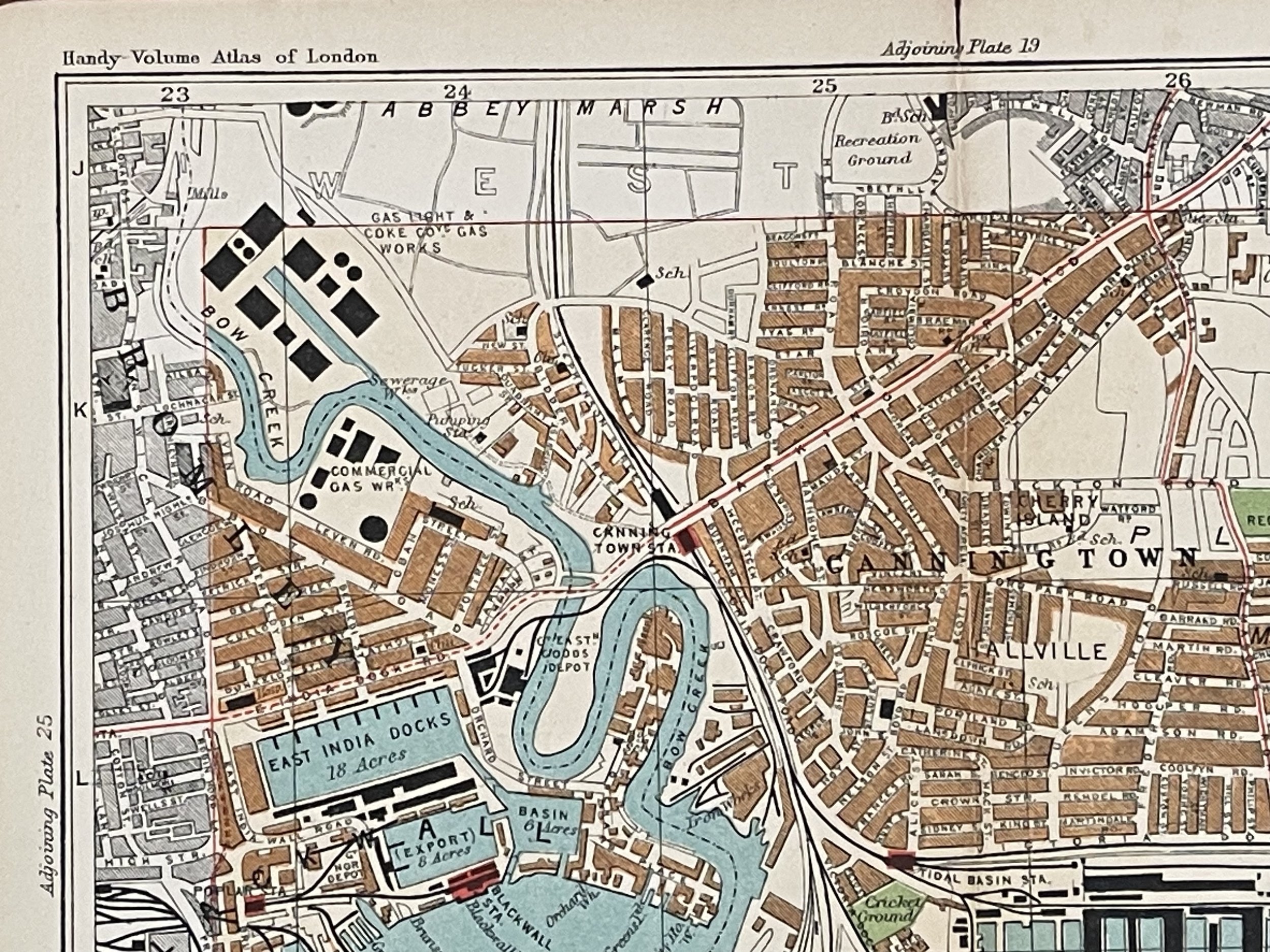
Canning Town, East India Docks, Victoria Dock, London Plan - George Philip & Son - 1907
This lovely map is from Philip's Handy Volume Atlas of London, Fifth edition, published by George Philip, London, 1907.
The map folds in half and is printed on one side only and measures 21 cm x 18 cm. This is an original antique, 114 years old.
This lovely map is from Philip's Handy Volume Atlas of London, Fifth edition, published by George Philip, London, 1907.
The map folds in half and is printed on one side only and measures 21 cm x 18 cm. This is an original antique, 114 years old.
This lovely map is from Philip's Handy Volume Atlas of London, Fifth edition, published by George Philip, London, 1907.
The map folds in half and is printed on one side only and measures 21 cm x 18 cm. This is an original antique, 114 years old.
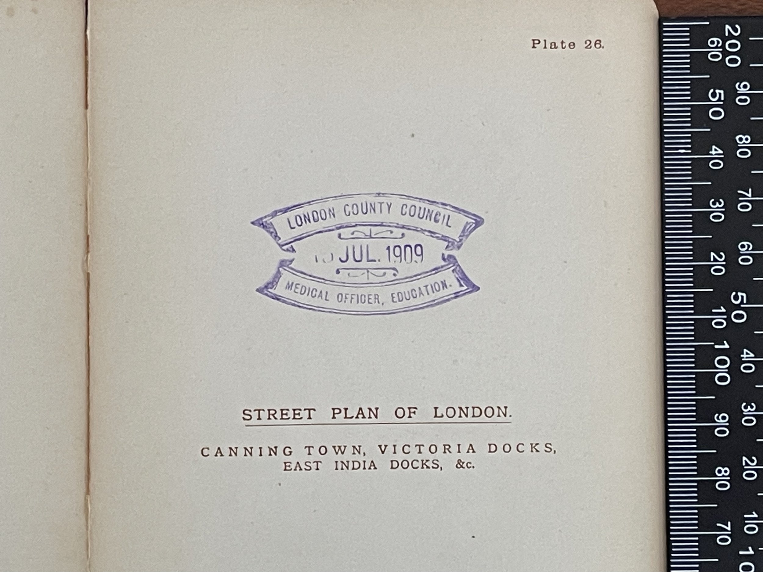
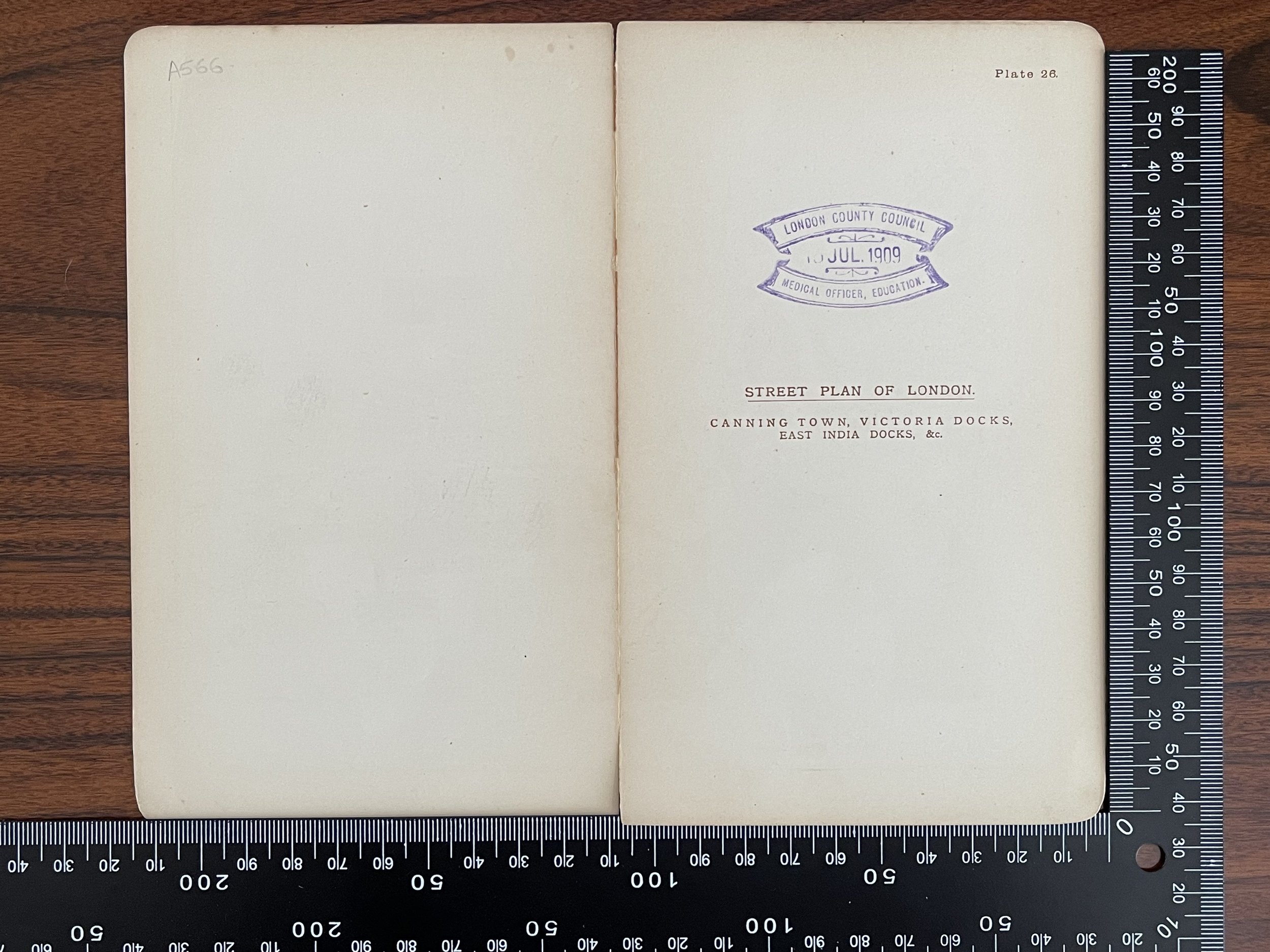
Code : A566
Cartographer : Cartographer / Engraver / Publisher: George Philip & Son
Date : Publication Place / Date - Circa 1907
Size : Sheet size: Image Size: 21 x 18 cm
Availability : Available
Type - Genuine - Antique
Grading A
Where Applicable - Folds as issued. Light box photo shows the folio leaf centre margin hinge ‘glue’, this is not visible otherwise.
Tracked postage, in casement. Please contact me for postal quotation outside of the UK.