https://www.peninsulapmg.com/foo.html     2022-06-04  
Skip to Content
Peninsula Maps & Globes
Home
Shop
About
Contact
English
0
0
Peninsula Maps & Globes
Home
Shop
About
Contact
English
0
0
Home
Shop
About
Contact
English
Back
Peninsula Shop Dept. De L'ain - Levasseur, Victor / A. Combette - 1852
IMG_7889.jpeg Image 1 of 17
IMG_7889.jpeg
IMG_7903.jpeg Image 2 of 17
IMG_7903.jpeg
IMG_7894.jpeg Image 3 of 17
IMG_7894.jpeg
IMG_7895.jpeg Image 4 of 17
IMG_7895.jpeg
IMG_7904.jpeg Image 5 of 17
IMG_7904.jpeg
IMG_7899.jpeg Image 6 of 17
IMG_7899.jpeg
IMG_7900.jpeg Image 7 of 17
IMG_7900.jpeg
IMG_7901.jpeg Image 8 of 17
IMG_7901.jpeg
IMG_7897.jpeg Image 9 of 17
IMG_7897.jpeg
IMG_7890.jpeg Image 10 of 17
IMG_7890.jpeg
IMG_7902.jpeg Image 11 of 17
IMG_7902.jpeg
IMG_7905.jpeg Image 12 of 17
IMG_7905.jpeg
IMG_7893.jpeg Image 13 of 17
IMG_7893.jpeg
IMG_7891.jpeg Image 14 of 17
IMG_7891.jpeg
IMG_7898.jpeg Image 15 of 17
IMG_7898.jpeg
IMG_7892.jpeg Image 16 of 17
IMG_7892.jpeg
IMG_7896.jpeg Image 17 of 17
IMG_7896.jpeg
IMG_7889.jpeg
IMG_7903.jpeg
IMG_7894.jpeg
IMG_7895.jpeg
IMG_7904.jpeg
IMG_7899.jpeg
IMG_7900.jpeg
IMG_7901.jpeg
IMG_7897.jpeg
IMG_7890.jpeg
IMG_7902.jpeg
IMG_7905.jpeg
IMG_7893.jpeg
IMG_7891.jpeg
IMG_7898.jpeg
IMG_7892.jpeg
IMG_7896.jpeg

Dept. De L'ain - Levasseur, Victor / A. Combette - 1852

£25.00

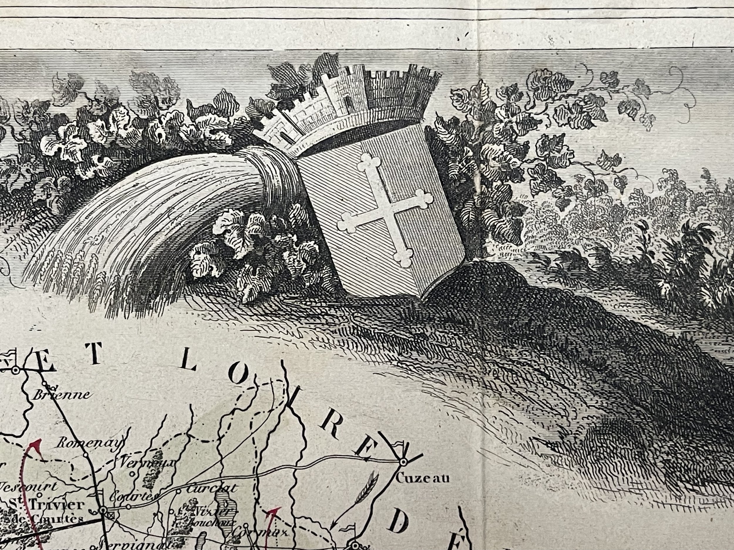
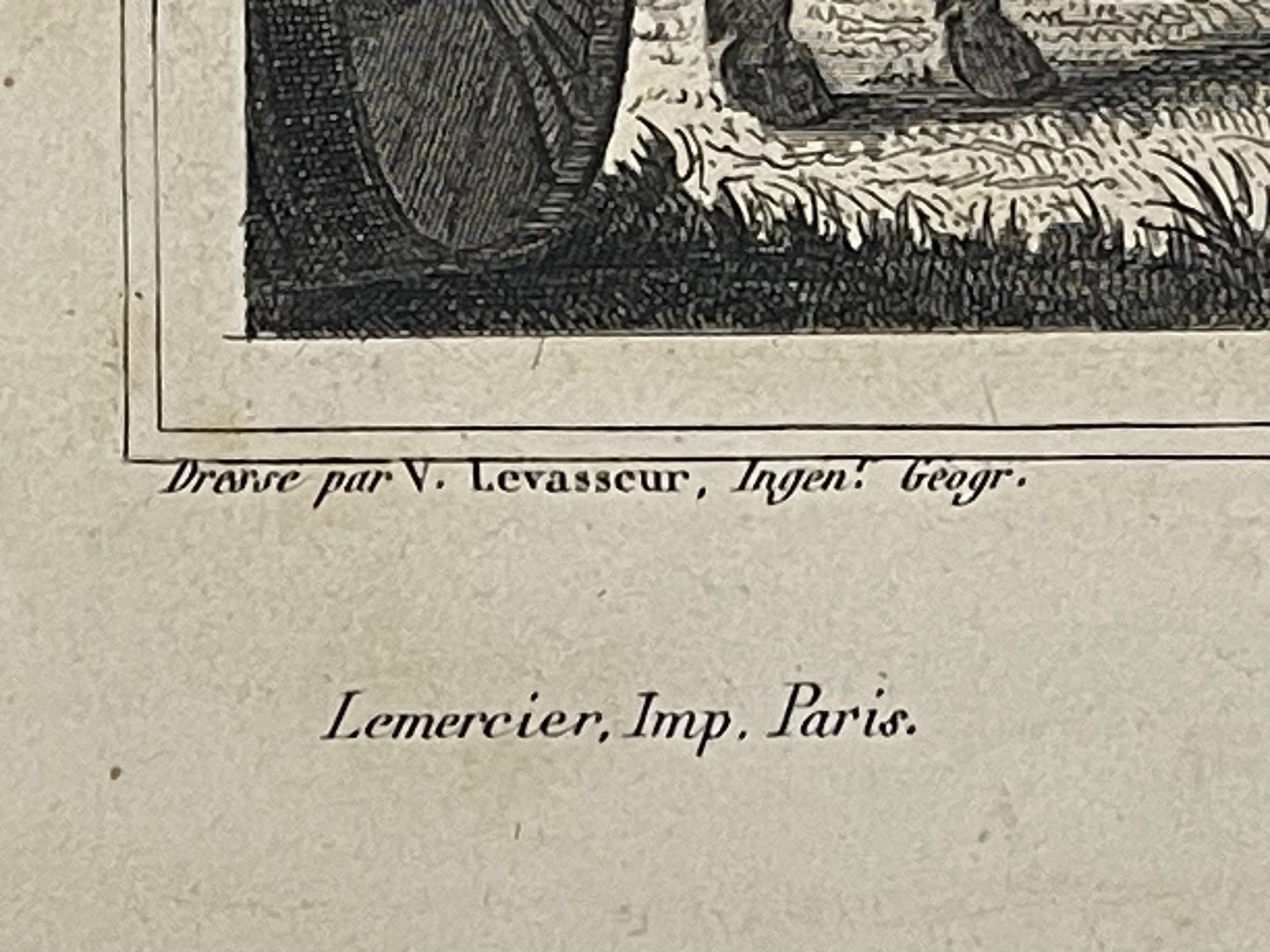
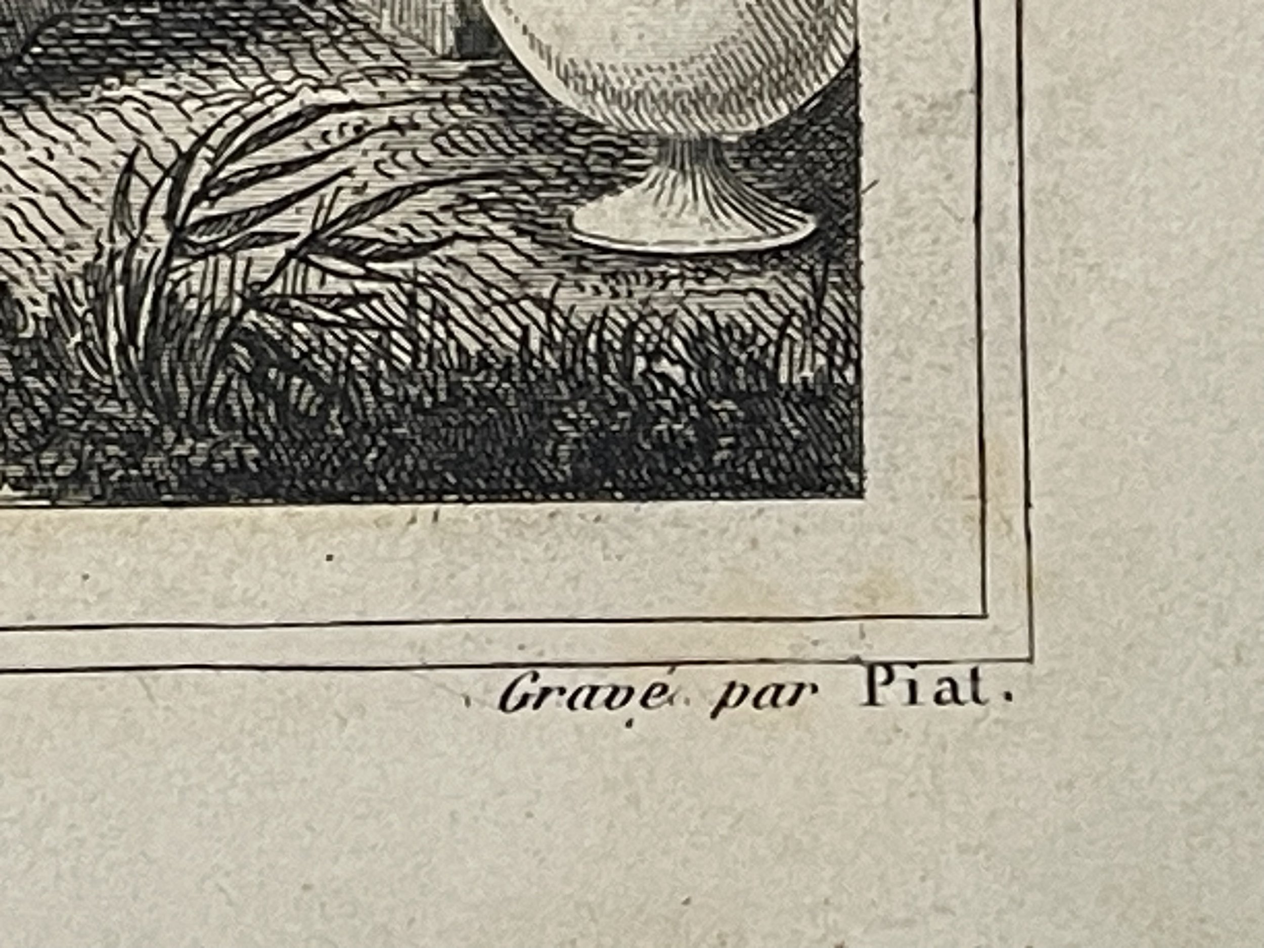
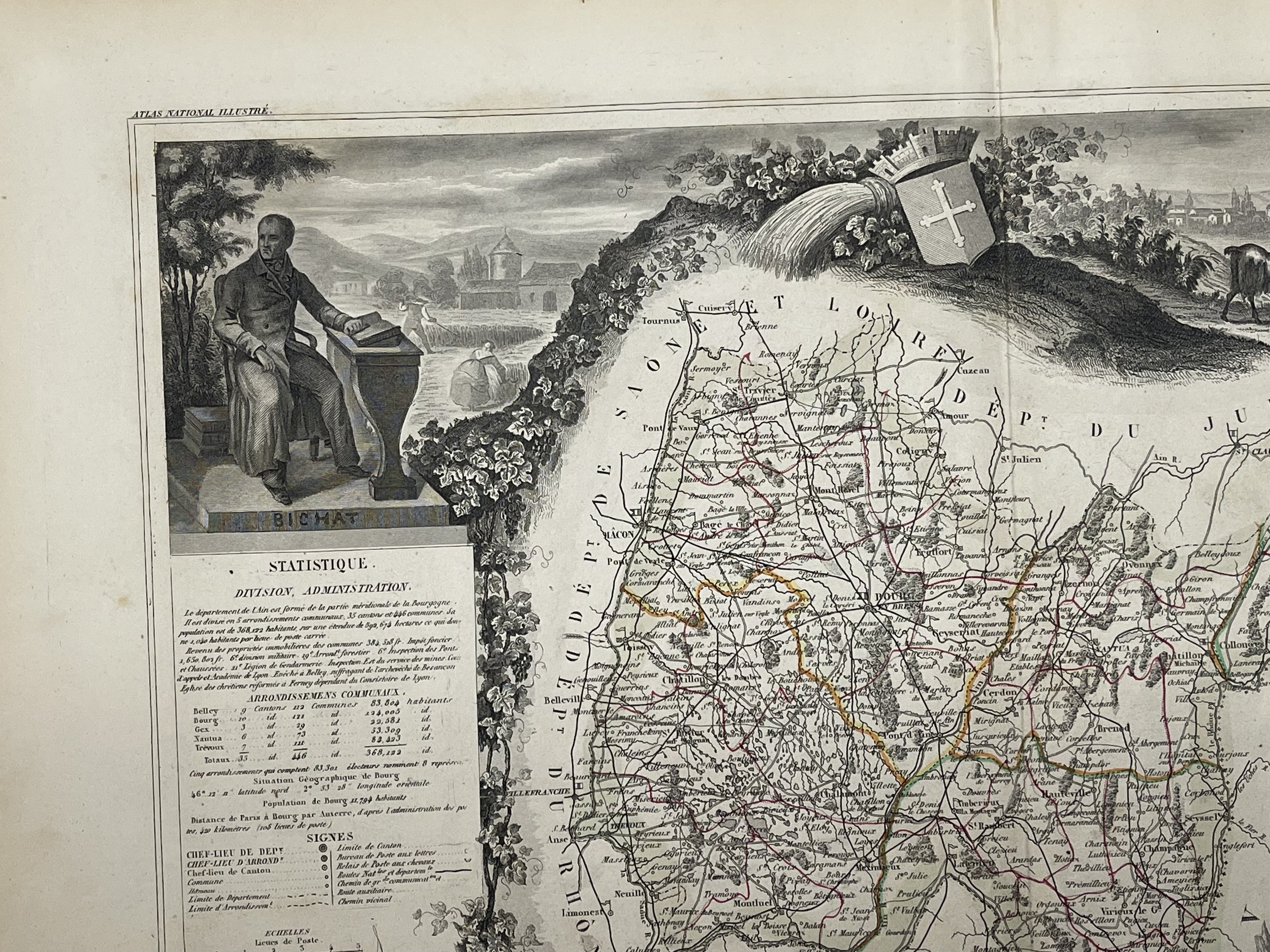
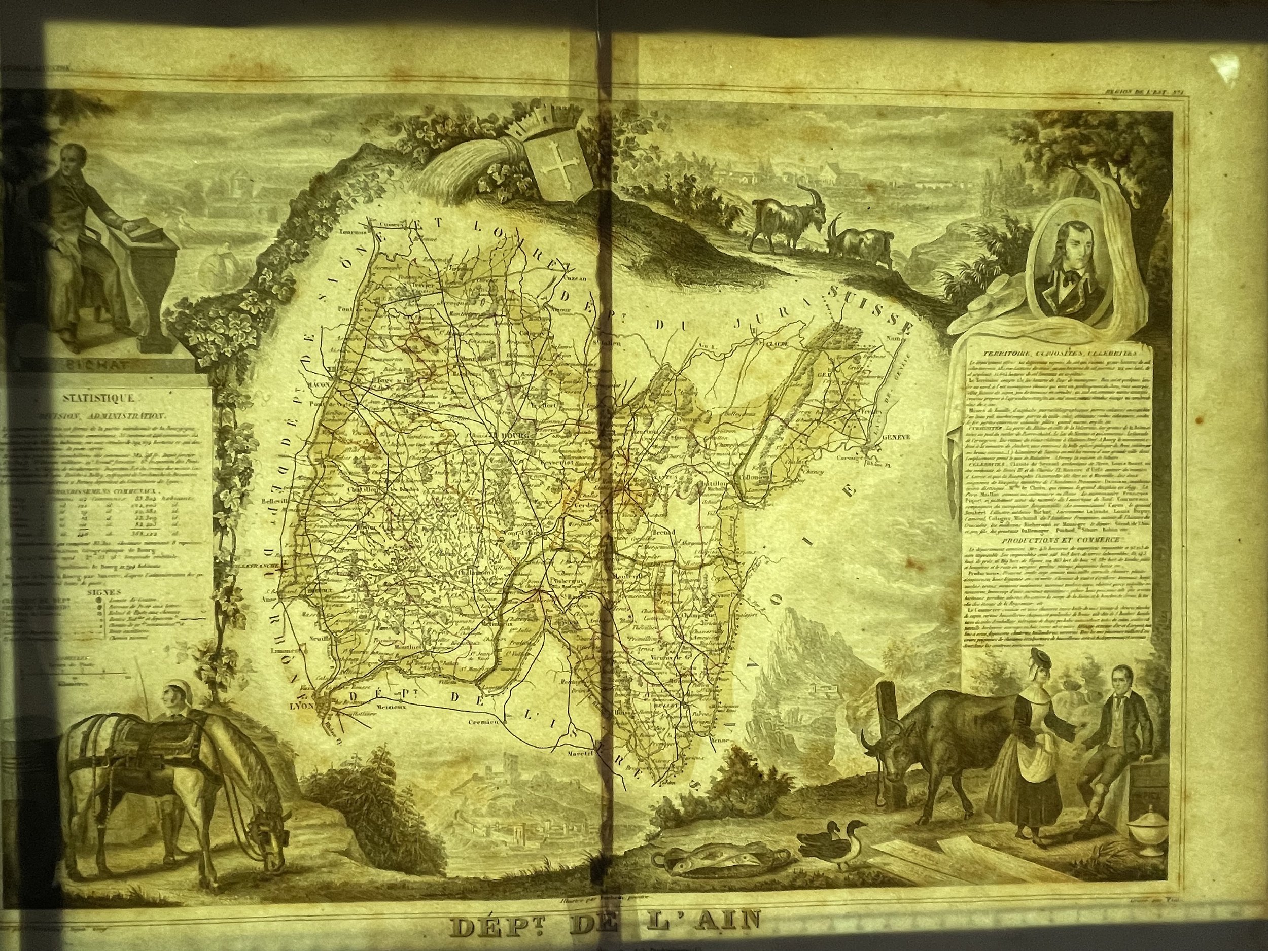
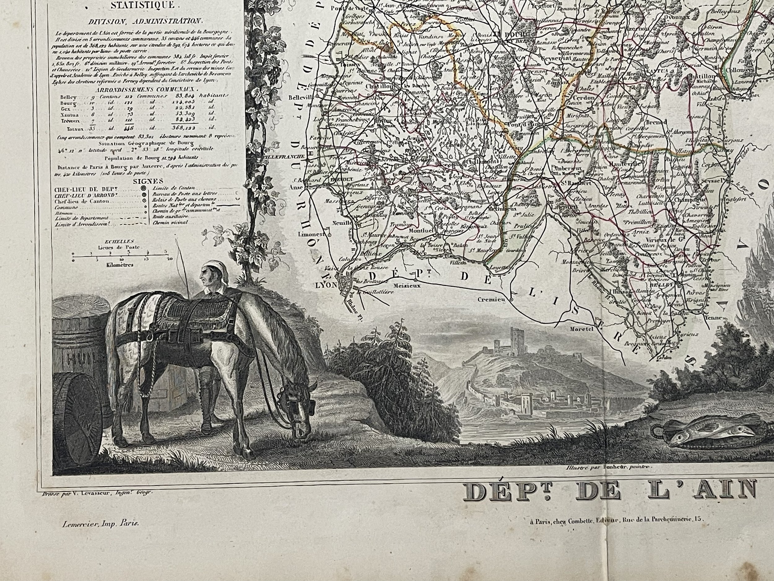
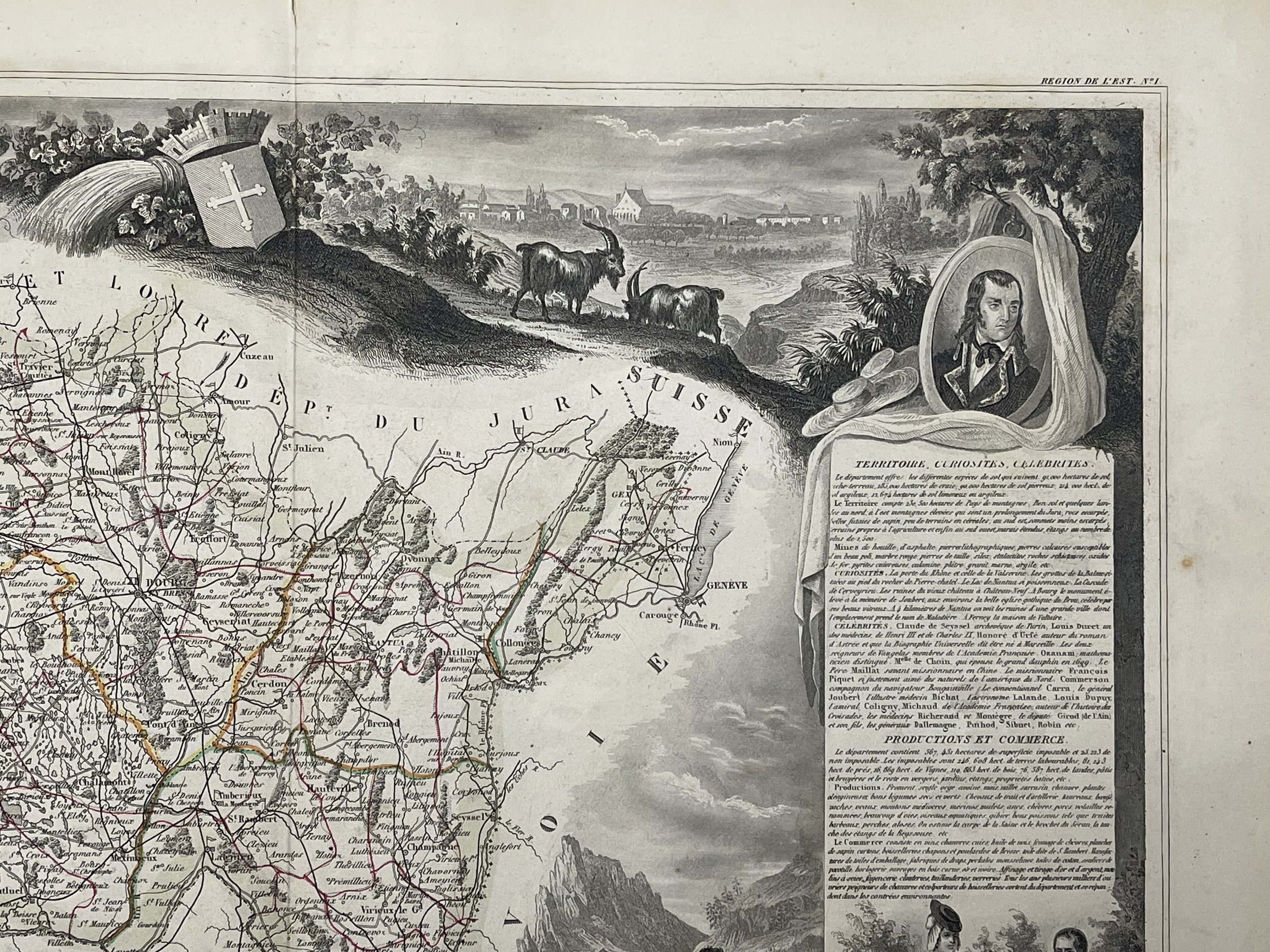
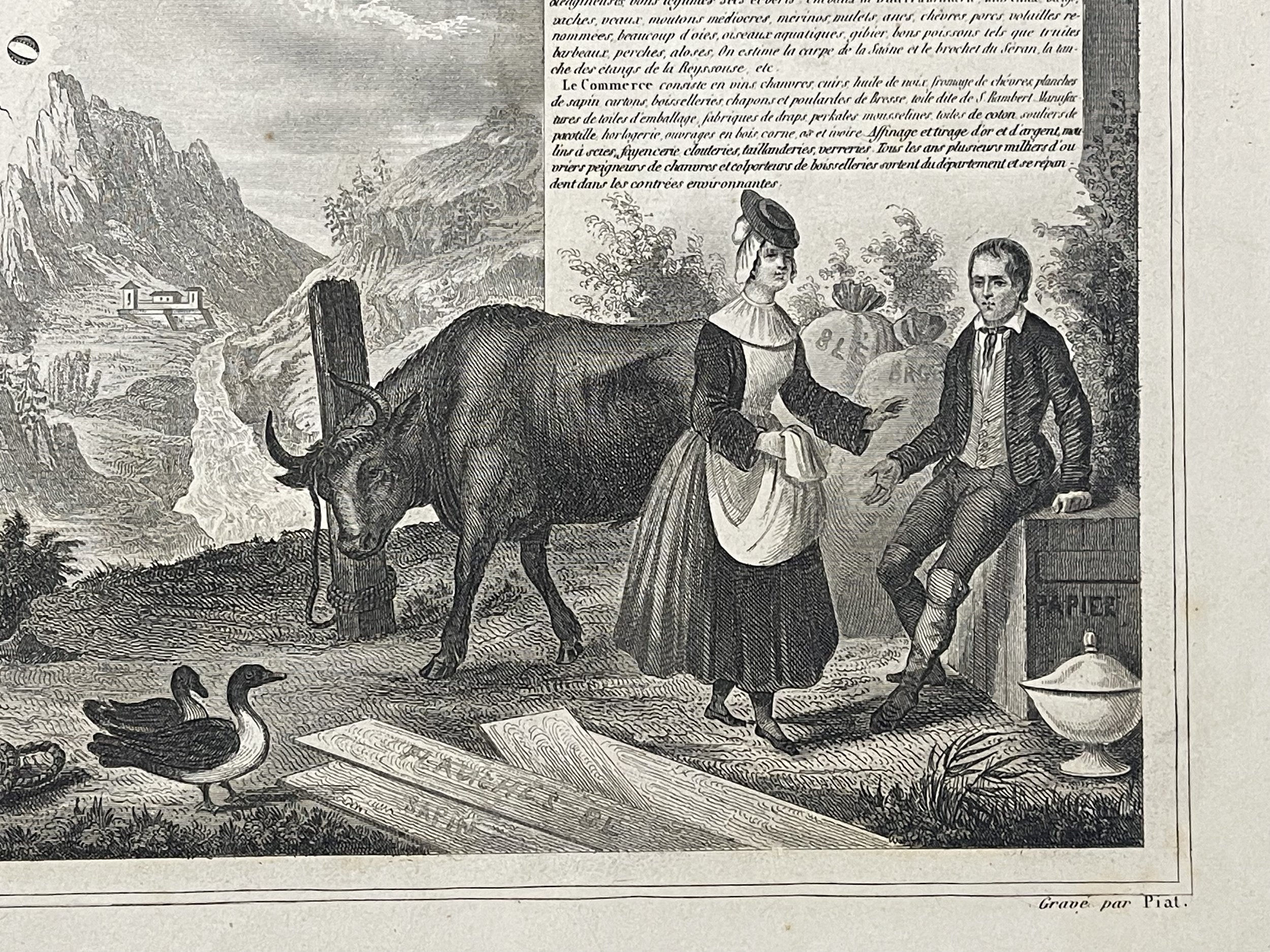
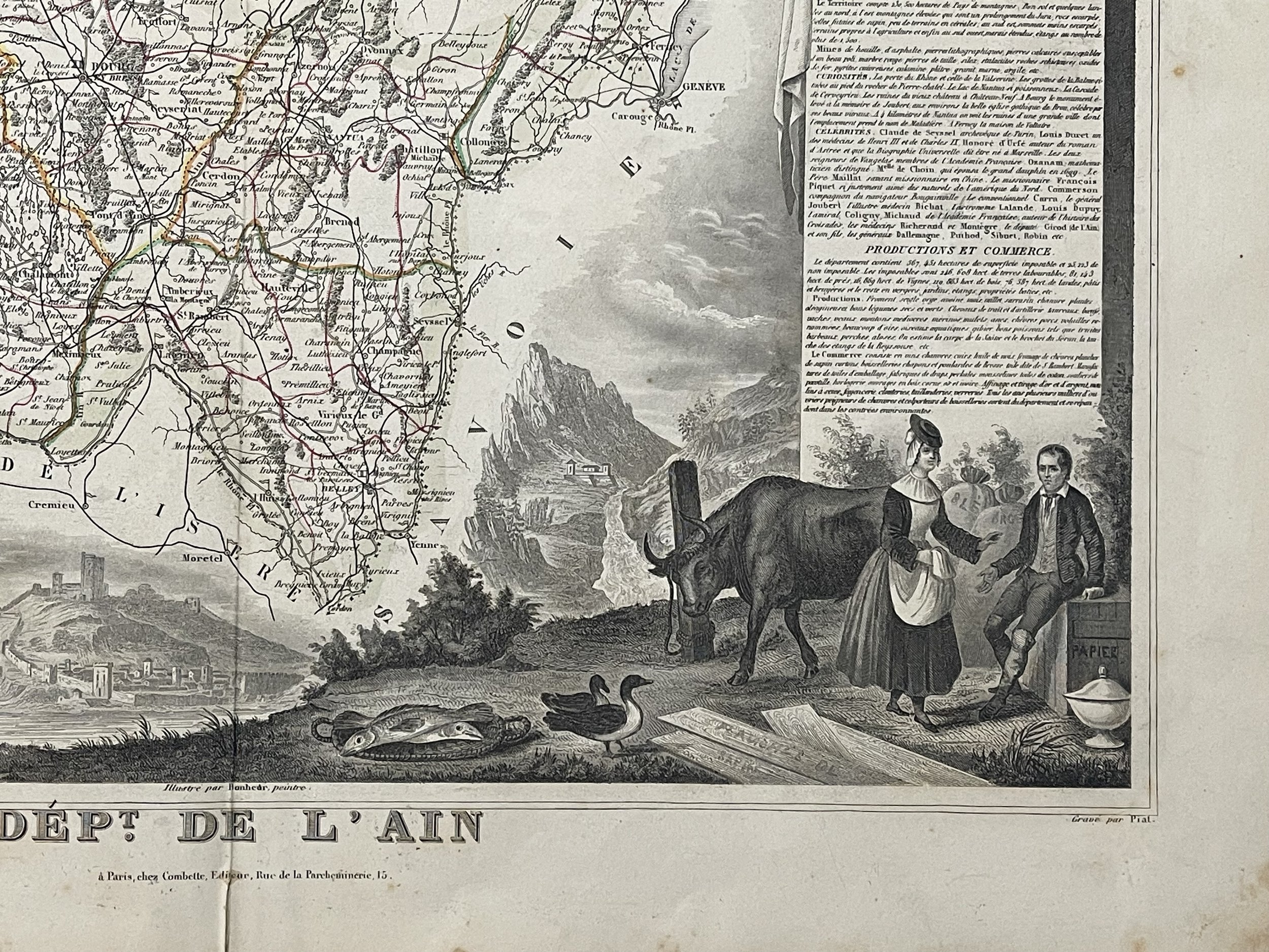
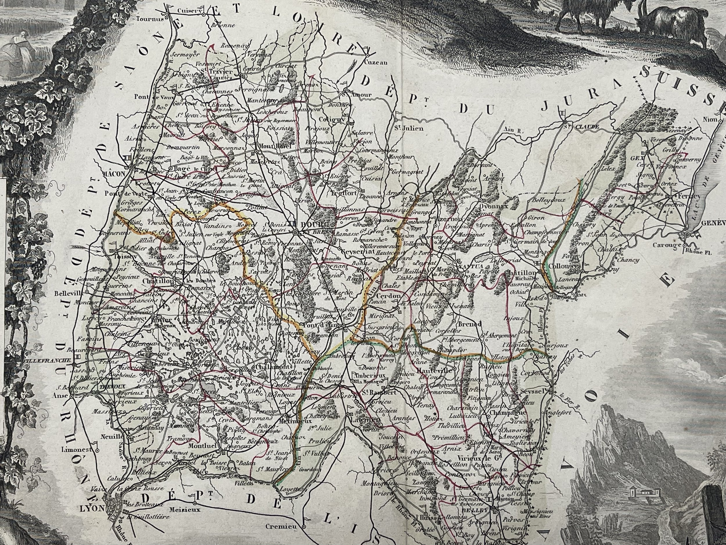
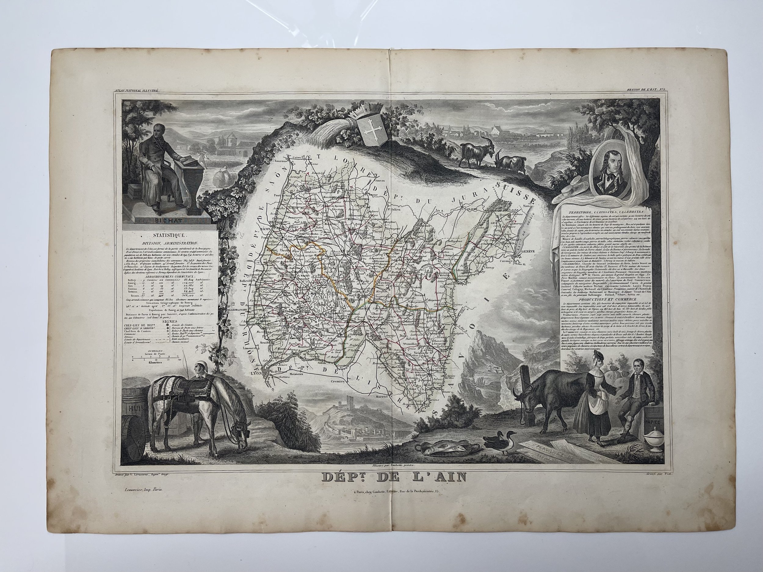
Antique 1852 maps by Victor Levasseur of French departements and the world from his "Atlas Nationale illustré des 86 Départements et des Possessions de la France", A Combette, Paris. Cartes départementales.

Artist; Levasseur, Victor. - Published: A. Combette Paris, 1847

Dimensions   284 x 422 mm - Steel Engraving.

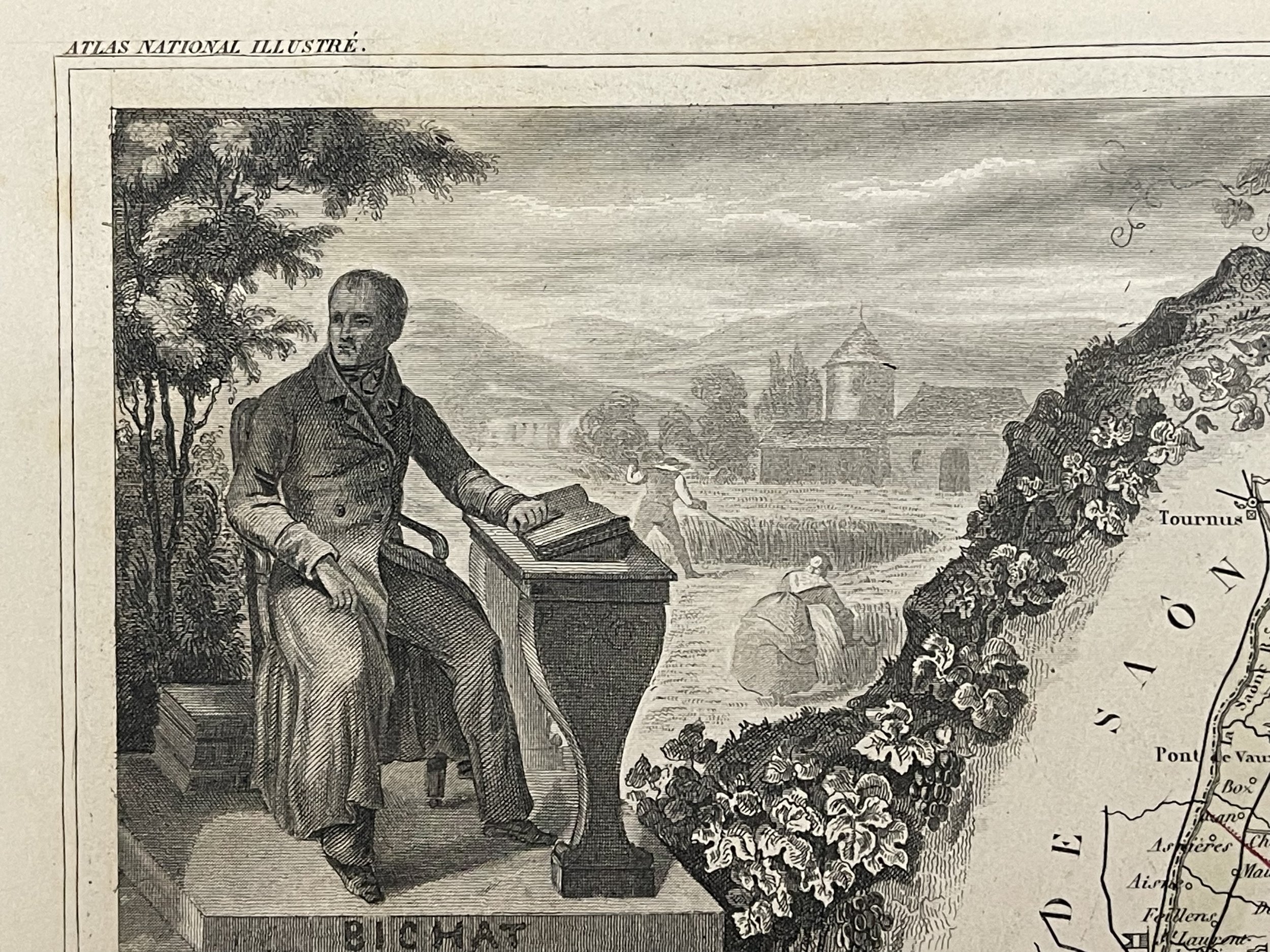
Notes  Illustrations by Raimon-Bonheur, Peintre

Victor Jules Levasseur (1795–1862) was a French cartographer widely known for his distinctive decorative style. He produced numerous maps more admired for the artistic content of the scenes and data surrounding the map than for the detail of the map.

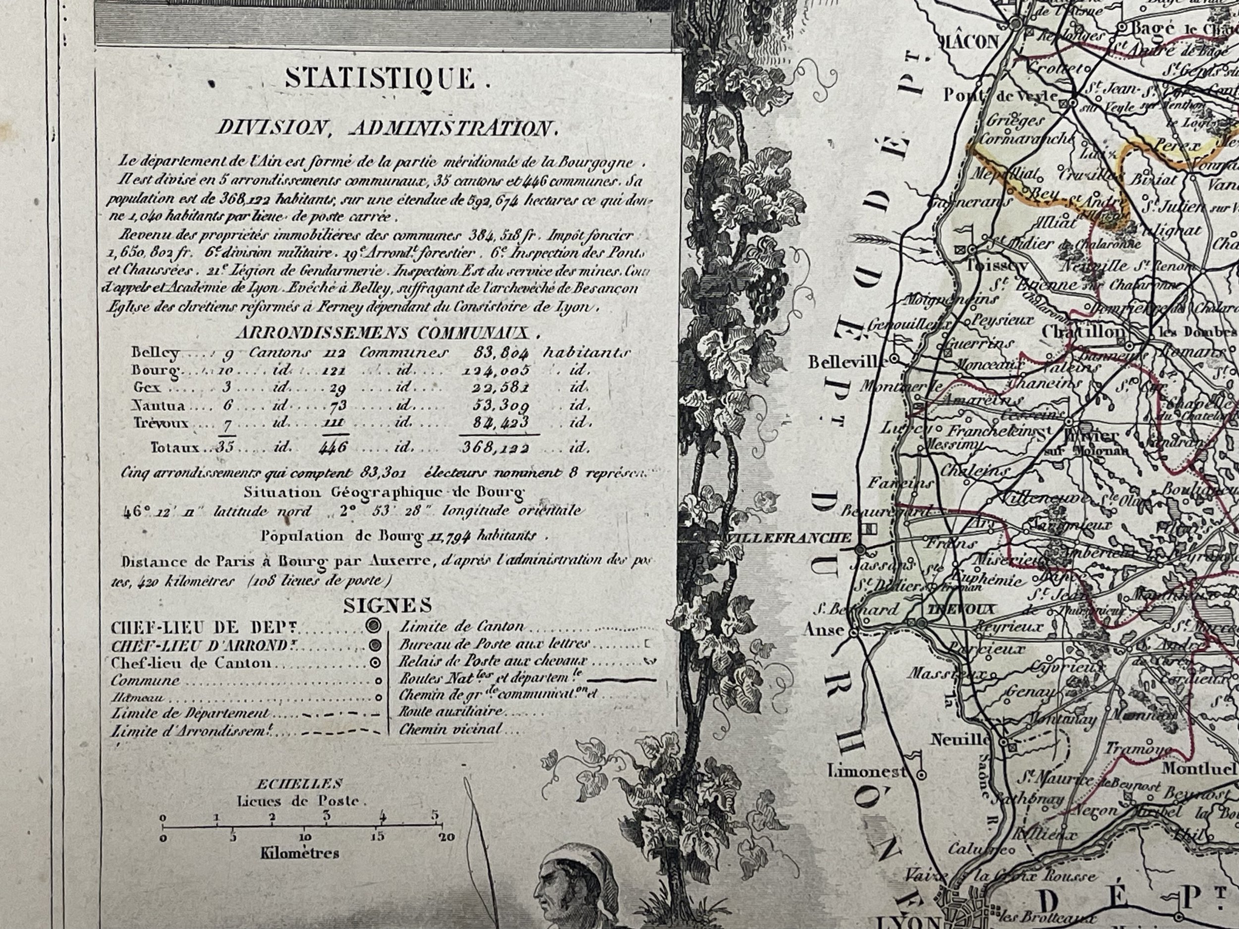
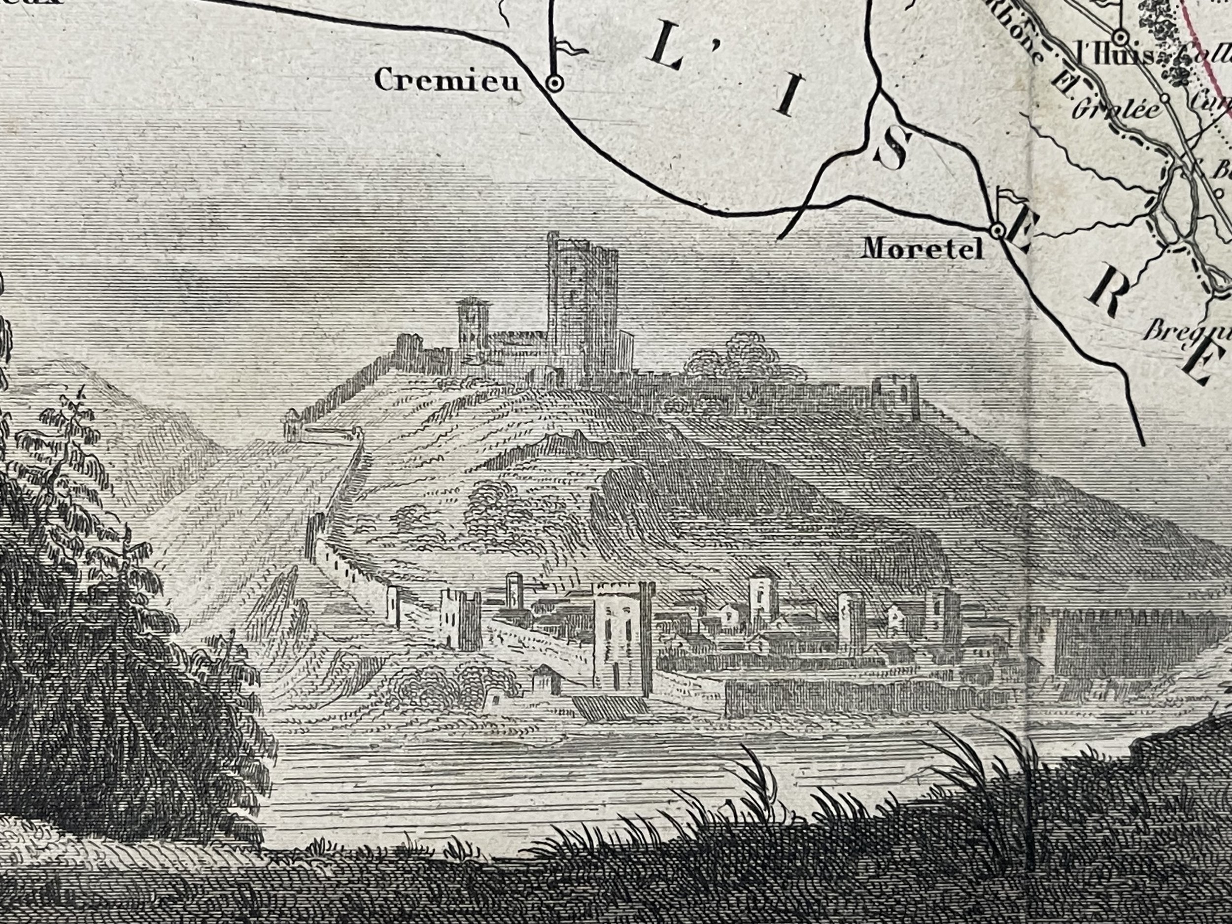
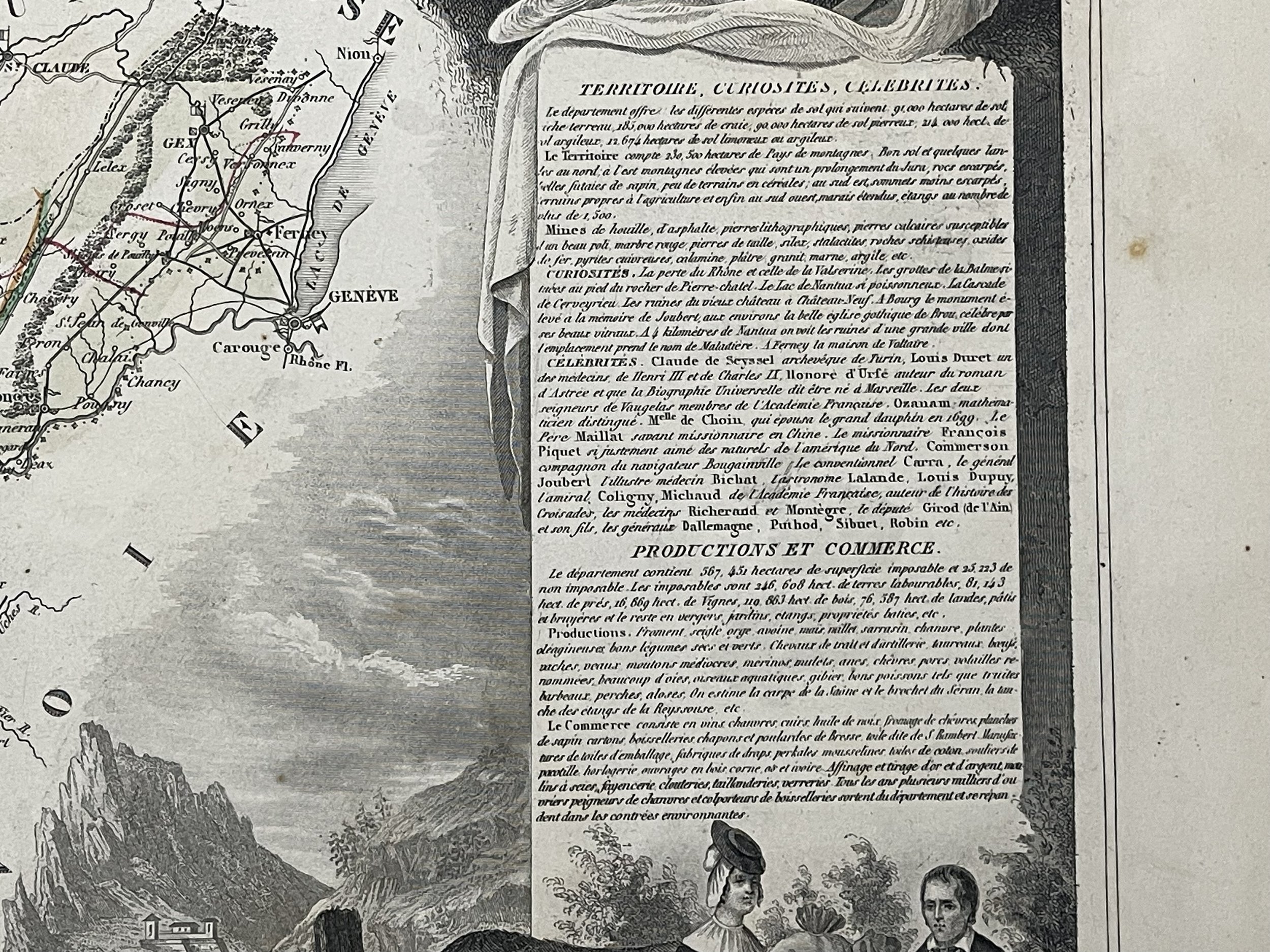
He was an important French engineer, cartographer, and engraver of the mid 19th century, held several important cartographically related political and educations posts in France. He is most famous for his Atlas National Illustré des 86 Départements et des Possessions de La France, a large decorative atlas of France, including his Planisphere and five important continental maps. Levasseur's maps are distinctive for their wide decorative margins containing elaborate depictions of the scenery, peoples, and trade goods of the areas he mapped. Levasseur maps are also known to offer a wealth of statistical data. Until recently, very few Levasseur Atlases migrated out of France where they were mostly used in public libraries and town halls. His work represents some of the last great decorative atlases of the 19th century.

Plate engraving is clean and bright. Small amount of staining around the periphery. Pricing and grading commensurate.

Add To Cart

Antique 1852 maps by Victor Levasseur of French departements and the world from his "Atlas Nationale illustré des 86 Départements et des Possessions de la France", A Combette, Paris. Cartes départementales.

Artist; Levasseur, Victor. - Published: A. Combette Paris, 1847

Dimensions   284 x 422 mm - Steel Engraving.

Notes  Illustrations by Raimon-Bonheur, Peintre

Victor Jules Levasseur (1795–1862) was a French cartographer widely known for his distinctive decorative style. He produced numerous maps more admired for the artistic content of the scenes and data surrounding the map than for the detail of the map.

He was an important French engineer, cartographer, and engraver of the mid 19th century, held several important cartographically related political and educations posts in France. He is most famous for his Atlas National Illustré des 86 Départements et des Possessions de La France, a large decorative atlas of France, including his Planisphere and five important continental maps. Levasseur's maps are distinctive for their wide decorative margins containing elaborate depictions of the scenery, peoples, and trade goods of the areas he mapped. Levasseur maps are also known to offer a wealth of statistical data. Until recently, very few Levasseur Atlases migrated out of France where they were mostly used in public libraries and town halls. His work represents some of the last great decorative atlases of the 19th century.

Plate engraving is clean and bright. Small amount of staining around the periphery. Pricing and grading commensurate.

Code : A736

Cartographer : Cartographer / Engraver / Publisher: Levasseur, Victor / A. Combette

Date : Publication Place / Date - Circa 1852

Size : Sheet size: Image Size:   51.5 x 36.5 cm

Availability : Available

Type - Genuine - Antique

Grading A-

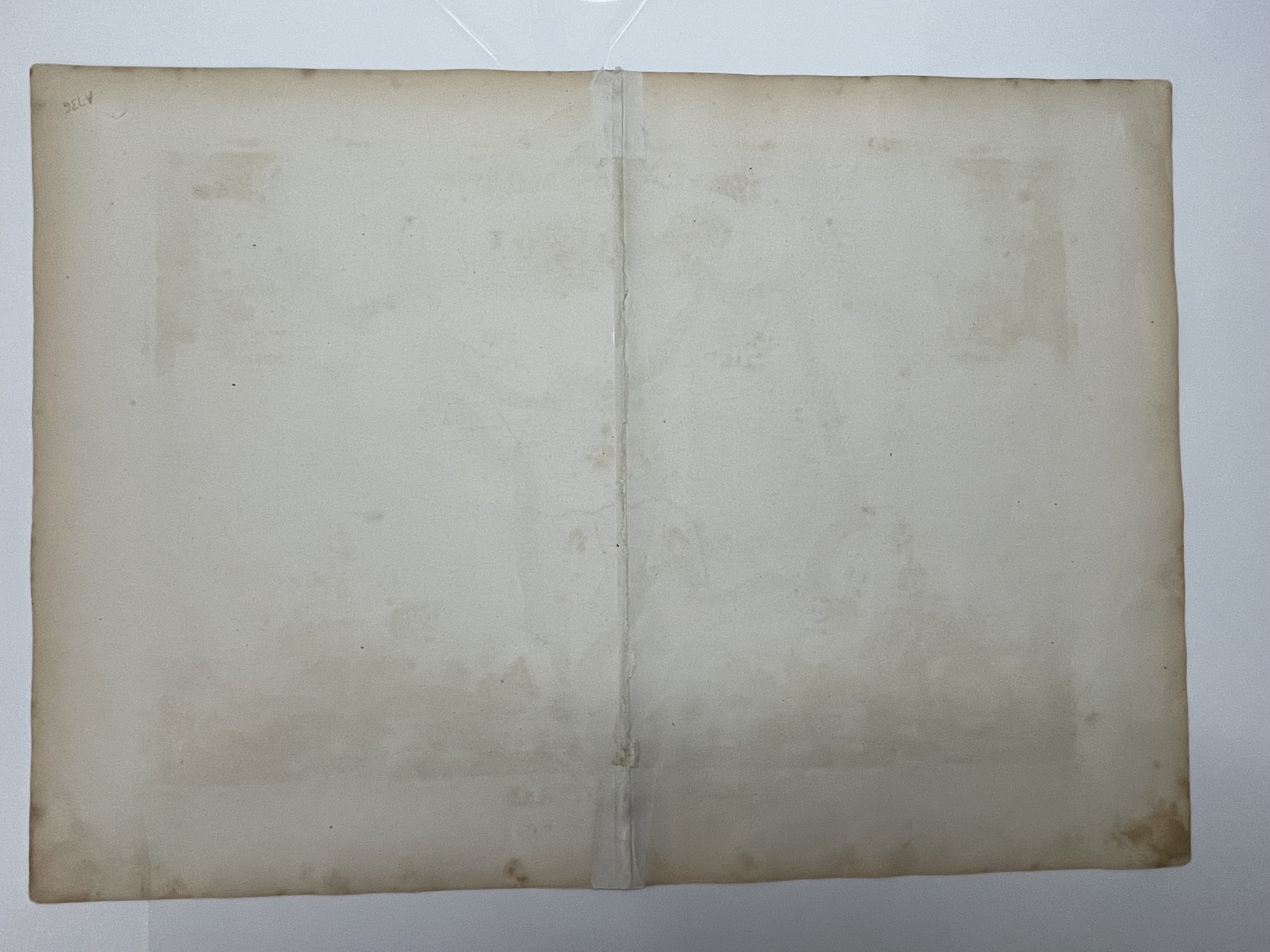
Where Applicable - Folds as issued. Light box photo shows the folio leaf centre margin hinge ‘glue’, this is not visible otherwise.

Tracked postage, in casement. Please contact me for postal quotation outside of the UK. 
Peninsula Maps & Globes - London England

Made with Squarespace

Contact: pmgmapsandglobes01@gmail.com