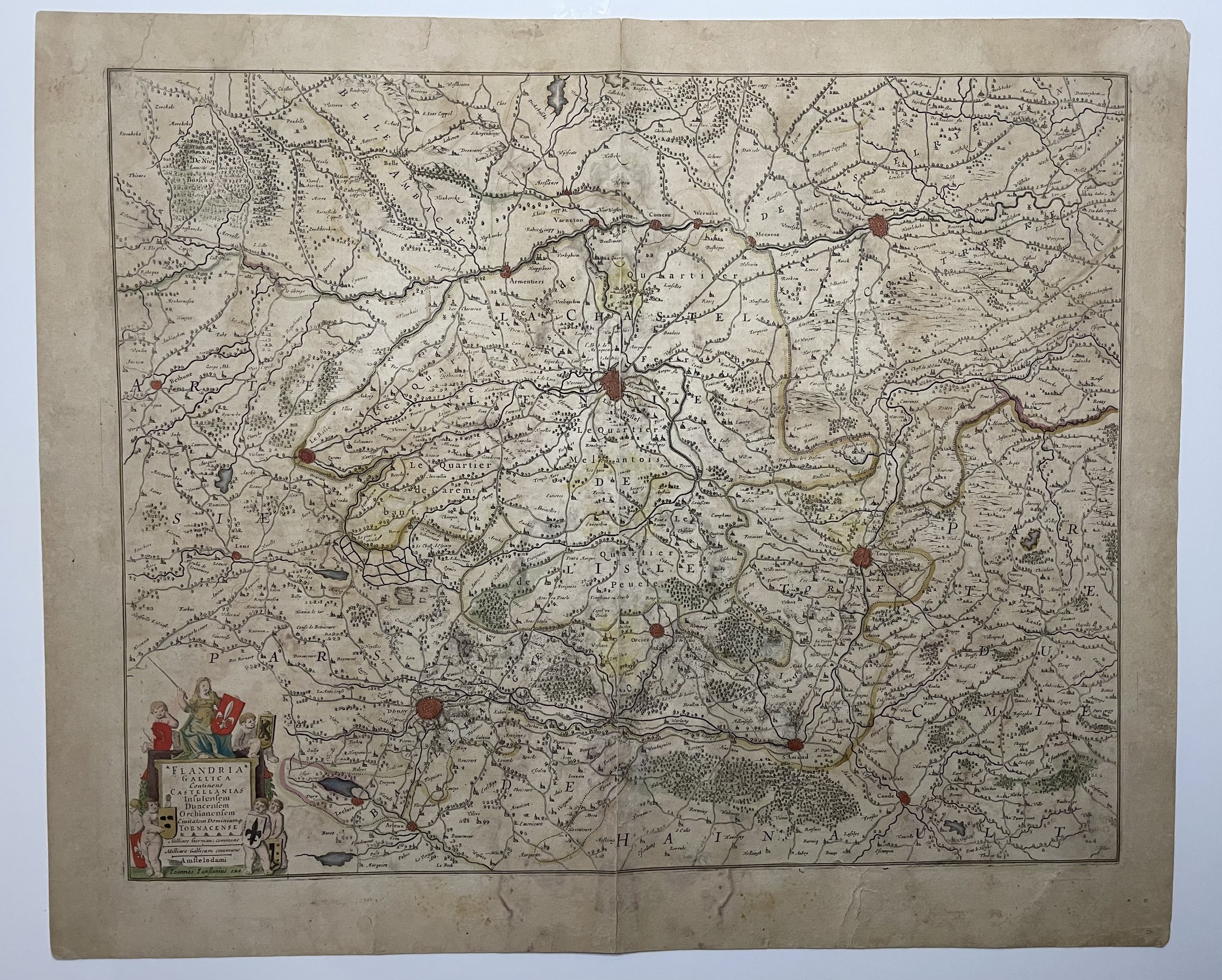

Flandria Gallica (Flanders Belgium) - Johannes Janssonius - 1640
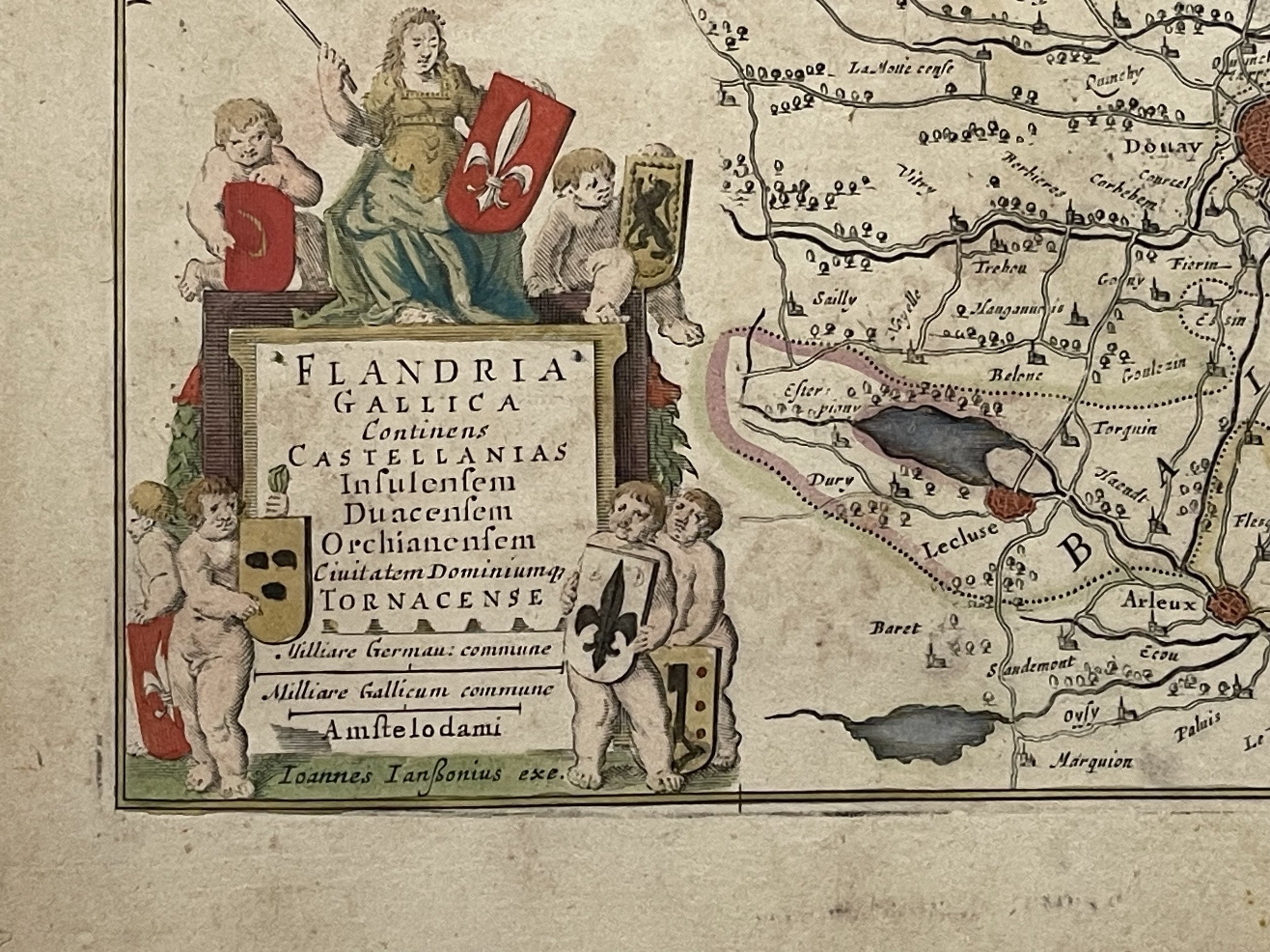
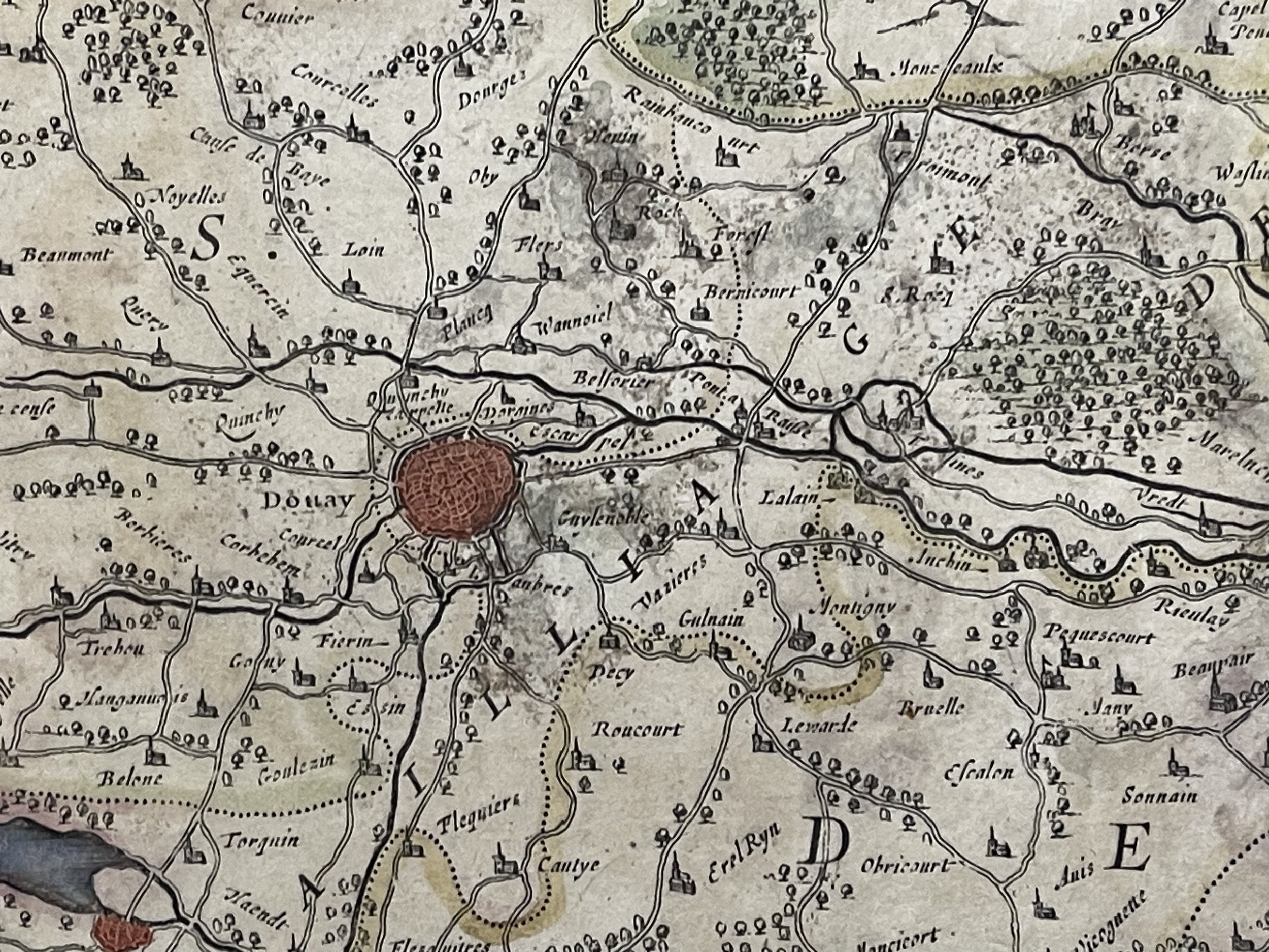
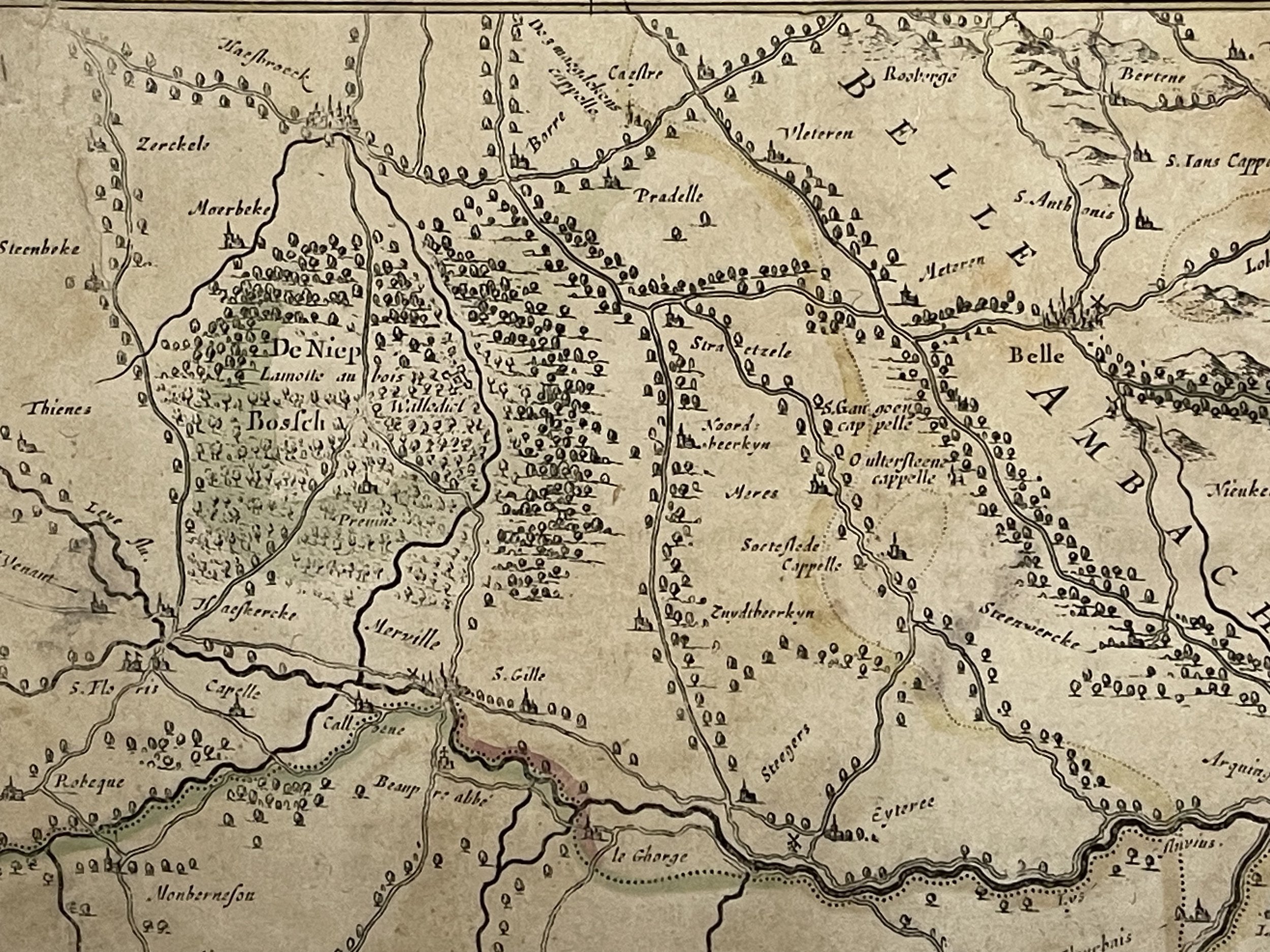
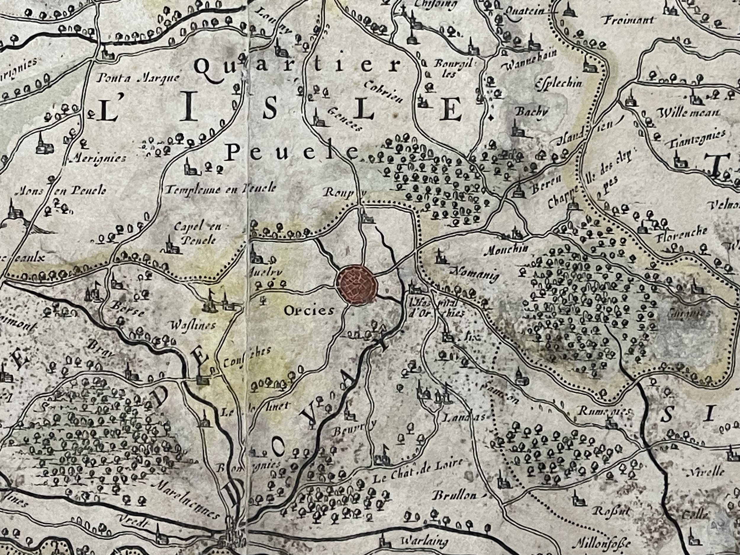
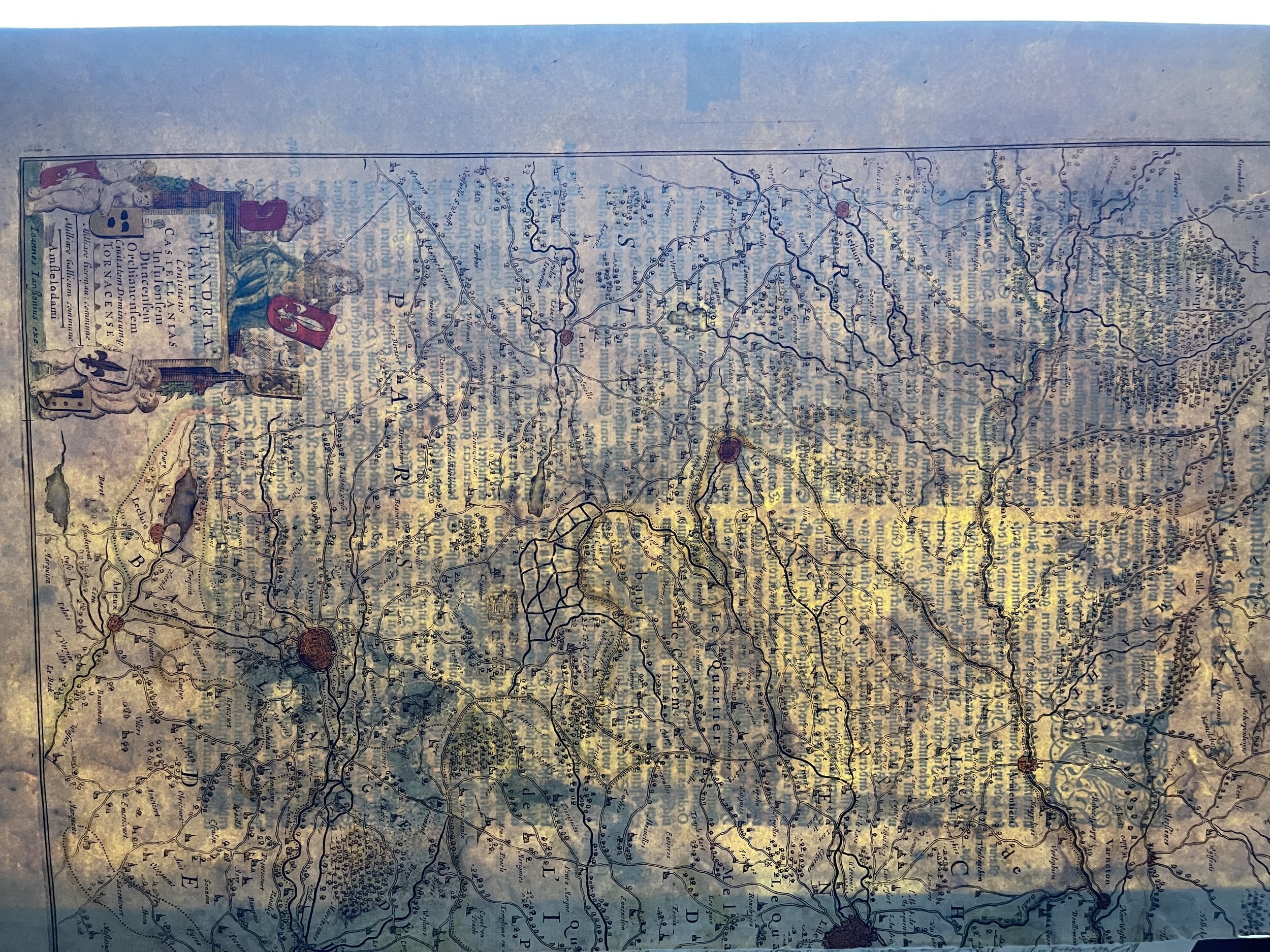
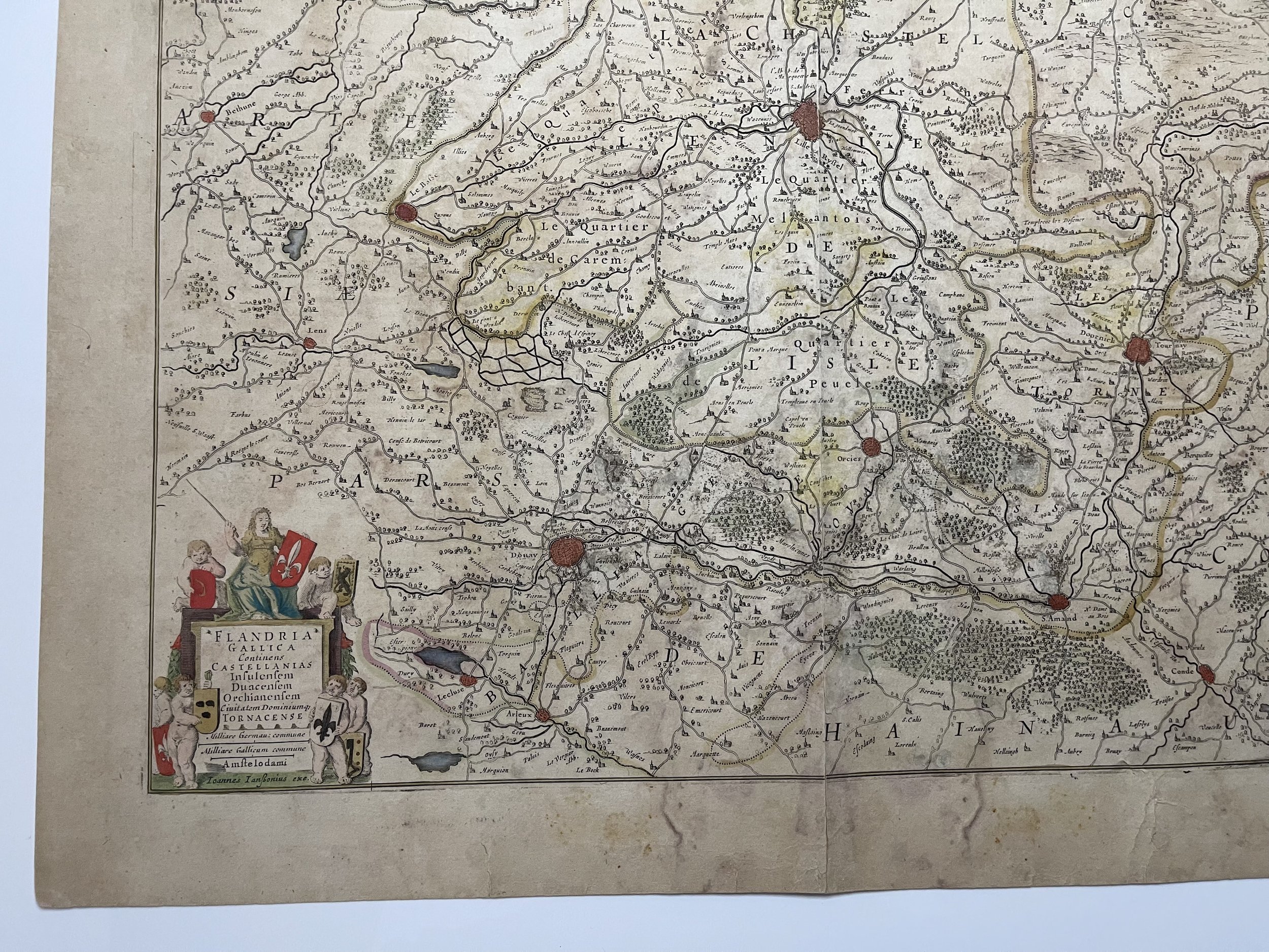
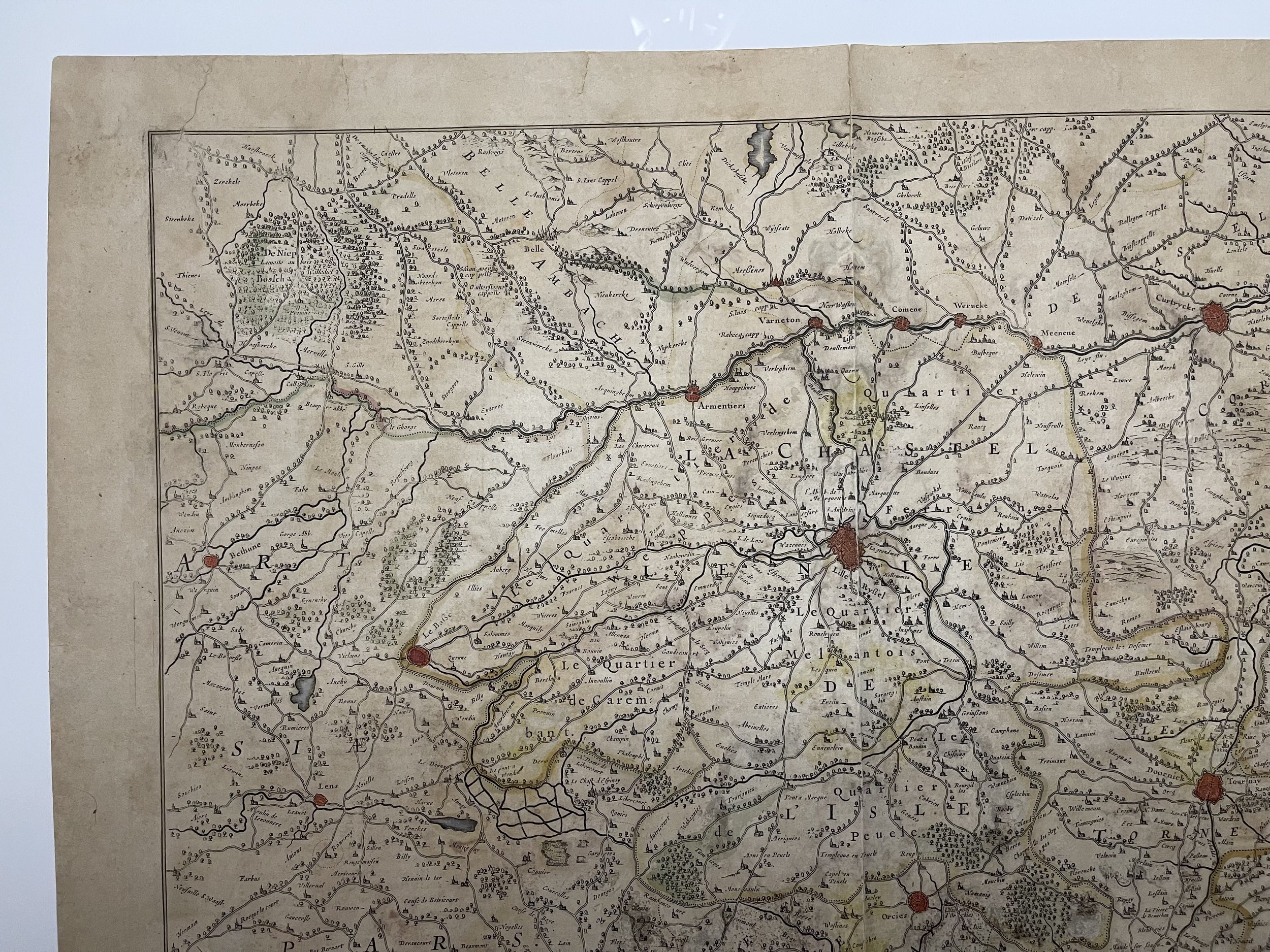
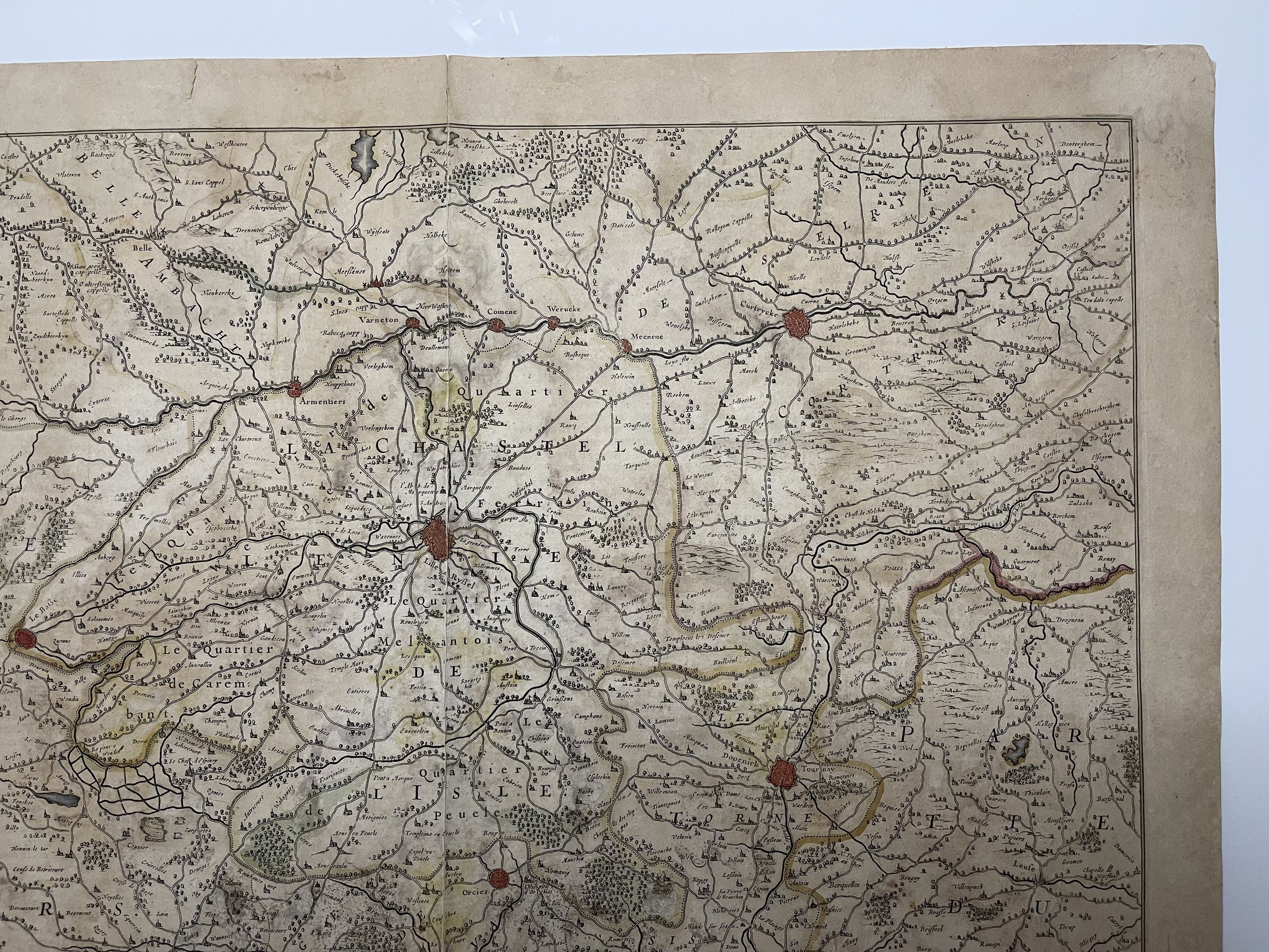
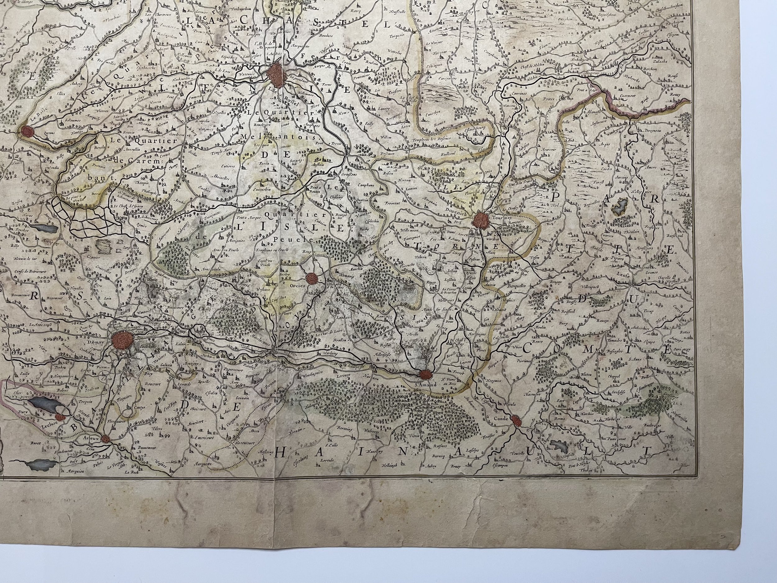
Flandria Gallica Continens Castellanias Insulensem, Duacensem, Orchianensem, Civitatem Dominiumq Tornacensep
Detailed hand coloured map of the French part of Flanders, including Douay, Lille, Doornick, Conde, St. Amand. Decorative cartouche.
Jan Janssonius (also known as Johann or Jan Jansson or Janszoon) (1588-1664) was a renowned geographer and publisher of the seventeenth century, when the Dutch dominated map publishing in Europe. Born in Arnhem, Jan was first exposed to the trade via his father, who was also a bookseller and publisher. In 1612, Jan married the daughter of Jodocus Hondius, who was also a prominent mapmaker and seller. Jonssonius’ first maps date from 1616.
In the 1630s, Janssonius worked with his brother-in-law, Henricus Hondius. Their most successful venture was to reissue the Mercator-Hondius atlas. Jodocus Hondius had acquired the plates to the Mercator atlas, first published in 1595, and added 36 additional maps. After Hondius died in 1612, Henricus took over publication; Janssonius joined the venture in 1633. Eventually, the atlas was renamed the Atlas Novus and then the Atlas Major, by which time it had expanded to eleven volumes. Janssonius is also well known for his volume of English county maps, published in 1646.
Janssonius died in Amsterdam in 1664. His son-in-law, Johannes van Waesbergen, took over his business. Eventually, many of Janssonius’ plates were sold to Gerard Valck and Pieter Schenk, who added their names and continued to reissue the maps.
Thick laid paper. Centre fold has had use. A few smudges around the periphery but the map is in great condition otherwise. Grading and pricing commensurate.
Code : A679
Cartographer : Cartographer / Engraver / Publisher: Johann Baptist Homann
Date : Publication Place / Date - Circa 1640
Size : Sheet size: Image Size: 57 x 47 cm
Availability : Available
Type - Genuine - Antique
Grading A-
Where Applicable - Folds as issued. Light box photo shows the folio leaf centre margin hinge ‘glue’, this is not visible otherwise.
Tracked postage, in casement. Please contact me for postal quotation outside of the UK.