
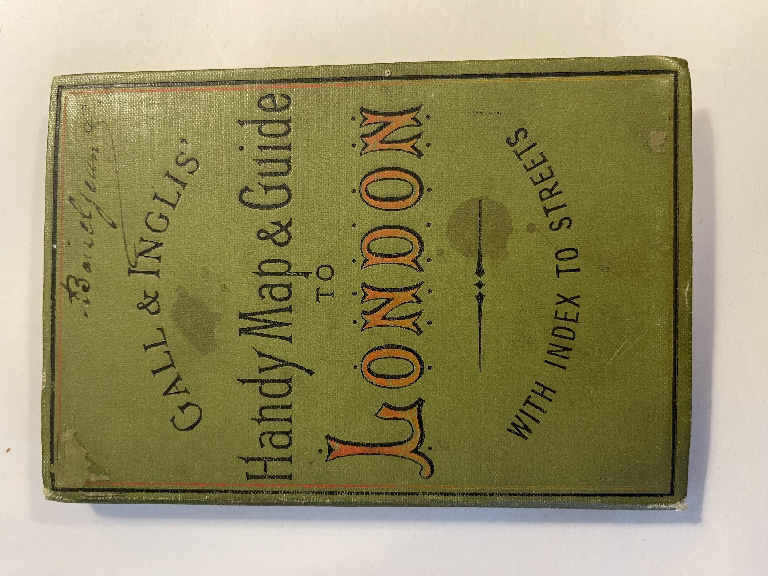


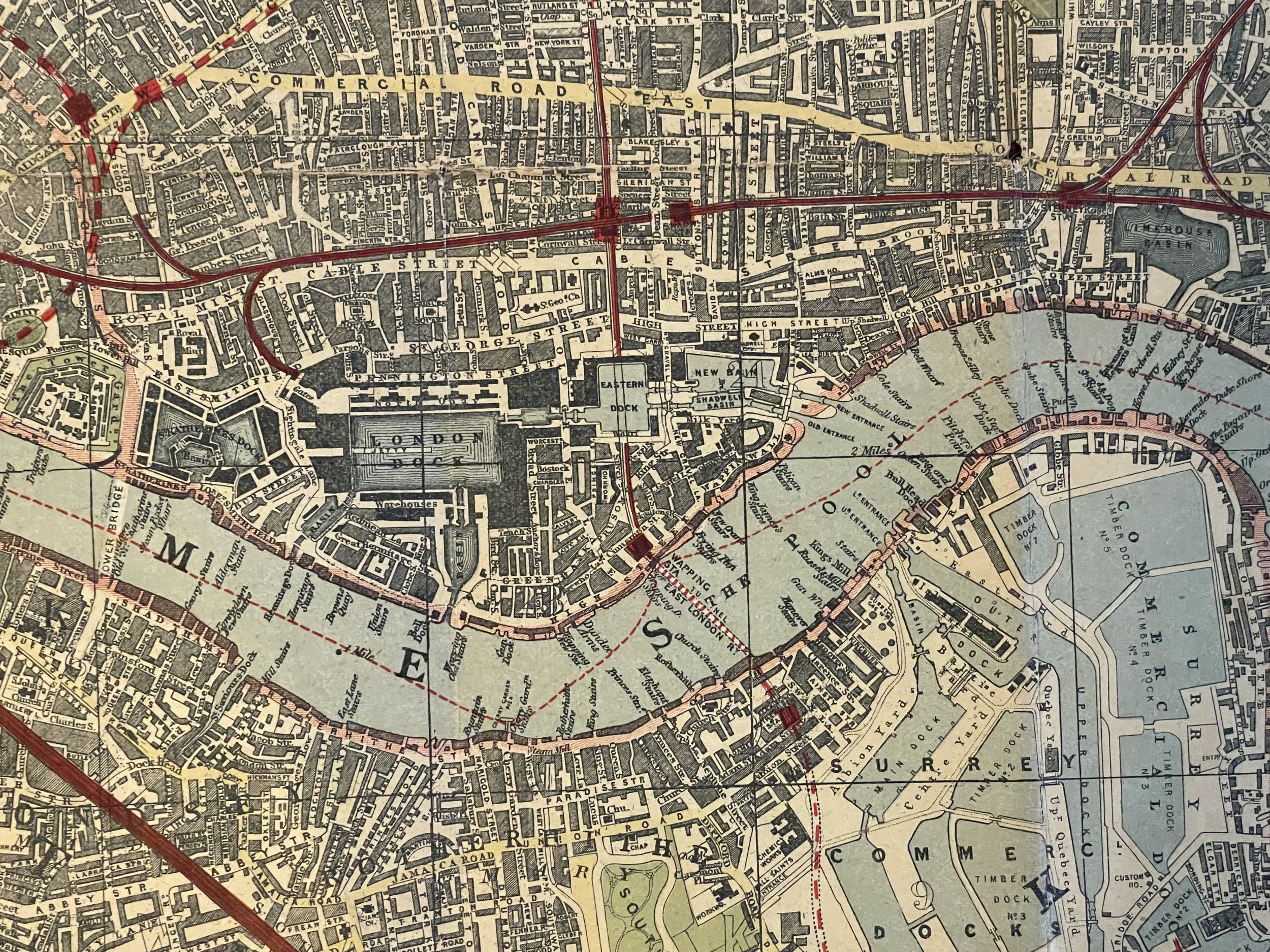
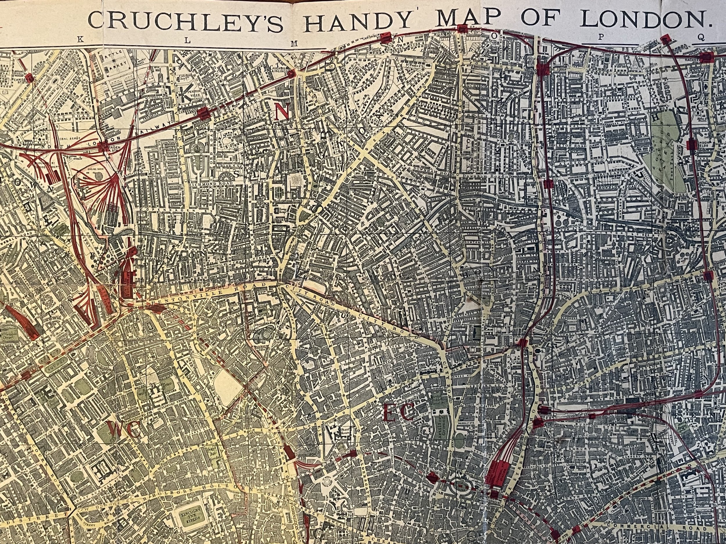
Handy map of London - George Frederick Cruchley / Gall & Inglis - 1895-1899
Handy Map and Guide of London (Missing its guide) . 1894 - 1899
The map was designed by George Frederick Cruchley (1797-1880).
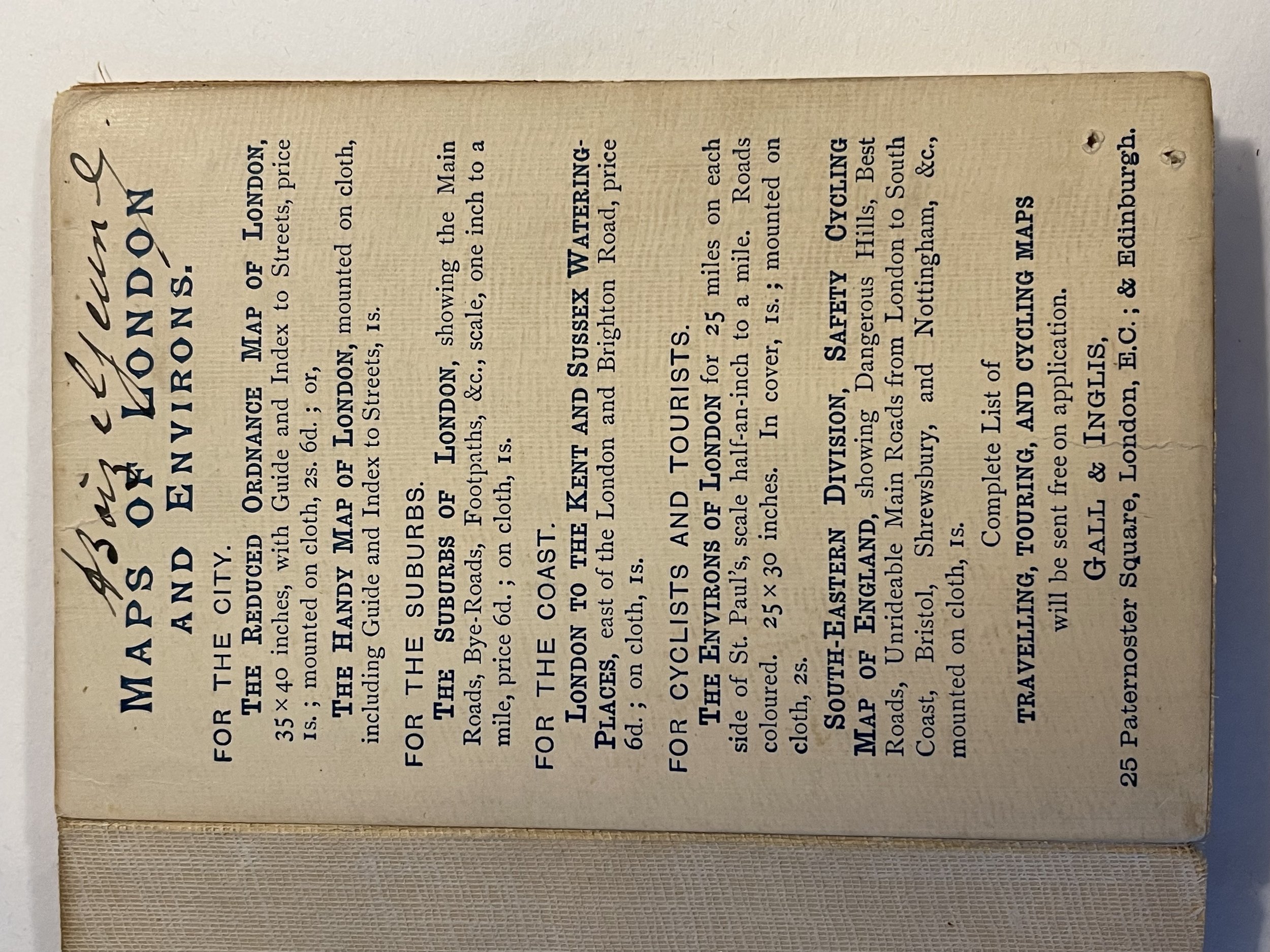
Published by Gall & Inglis' 25 Paternoster Square London EC & Edinburgh. Based in London, Crutchley was a British surveyor, cartographer, engraver, and publisher who began by being apprenticed to the great map maker Aaron Arrowsmith. Then in 1844 Cruchley acquired the stock of John Cary the renown English map maker.
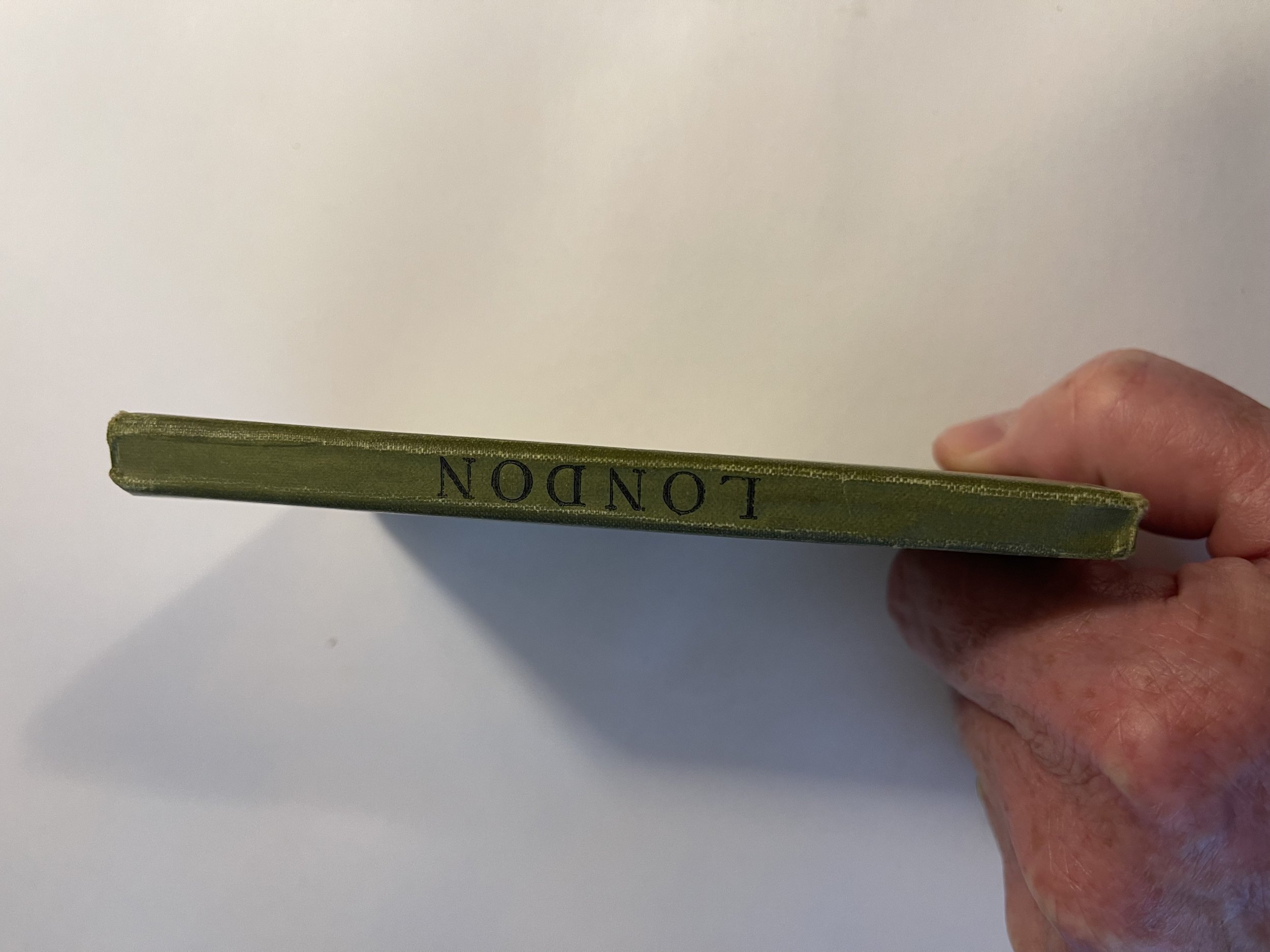
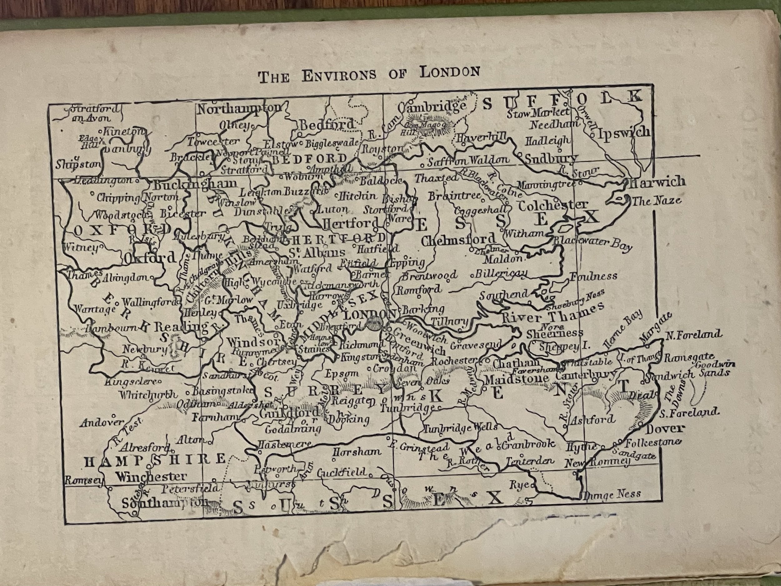
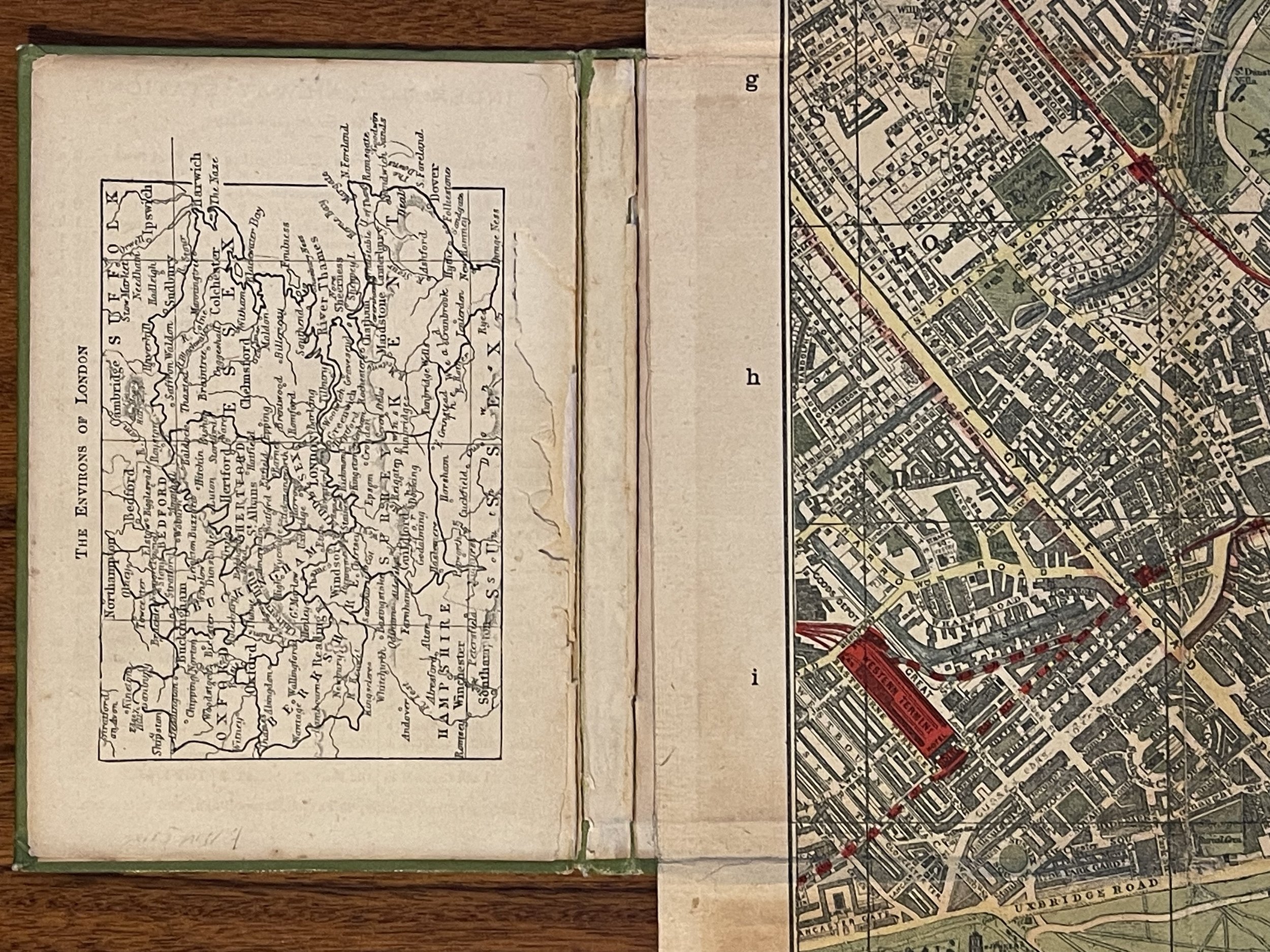
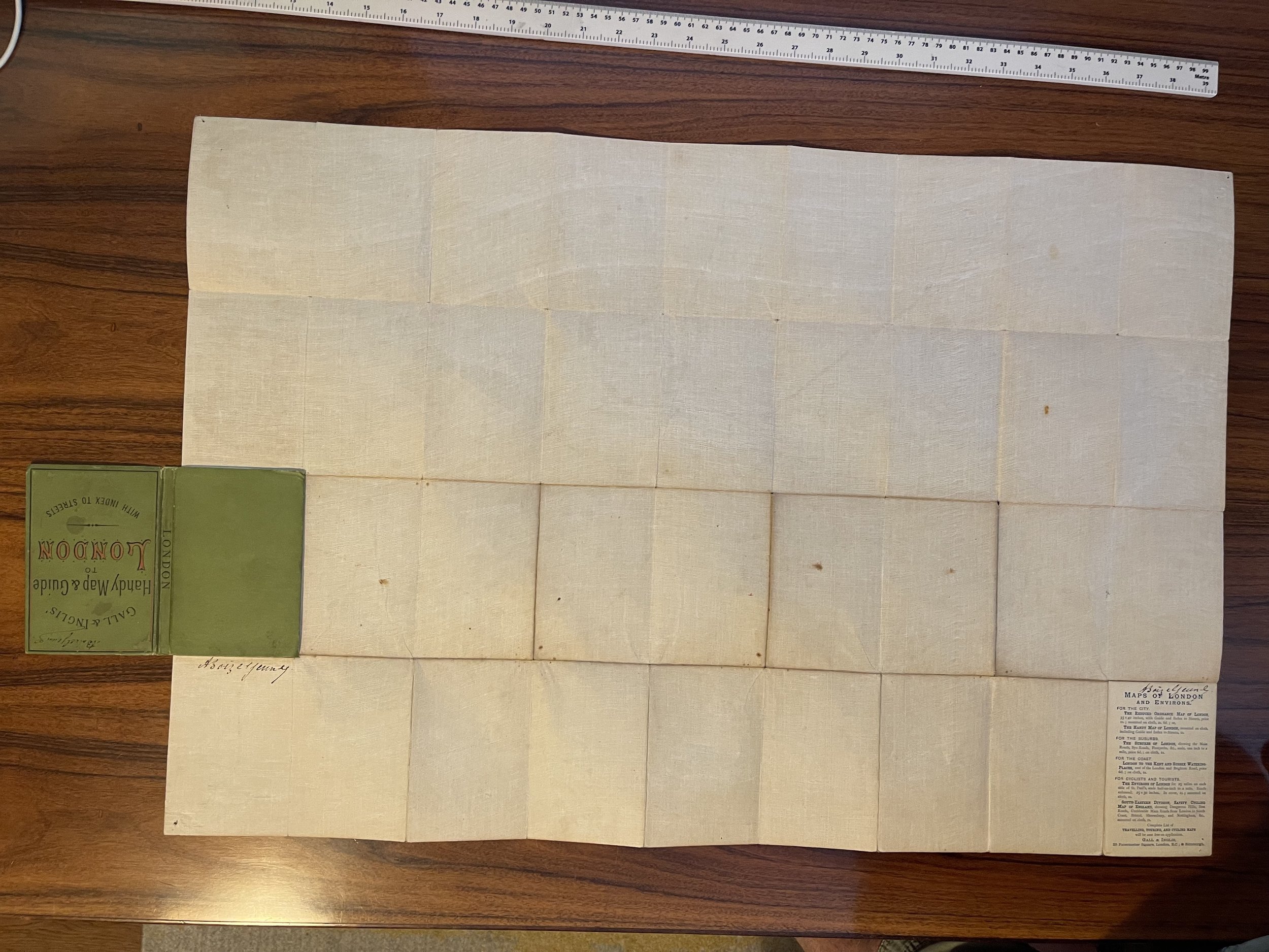
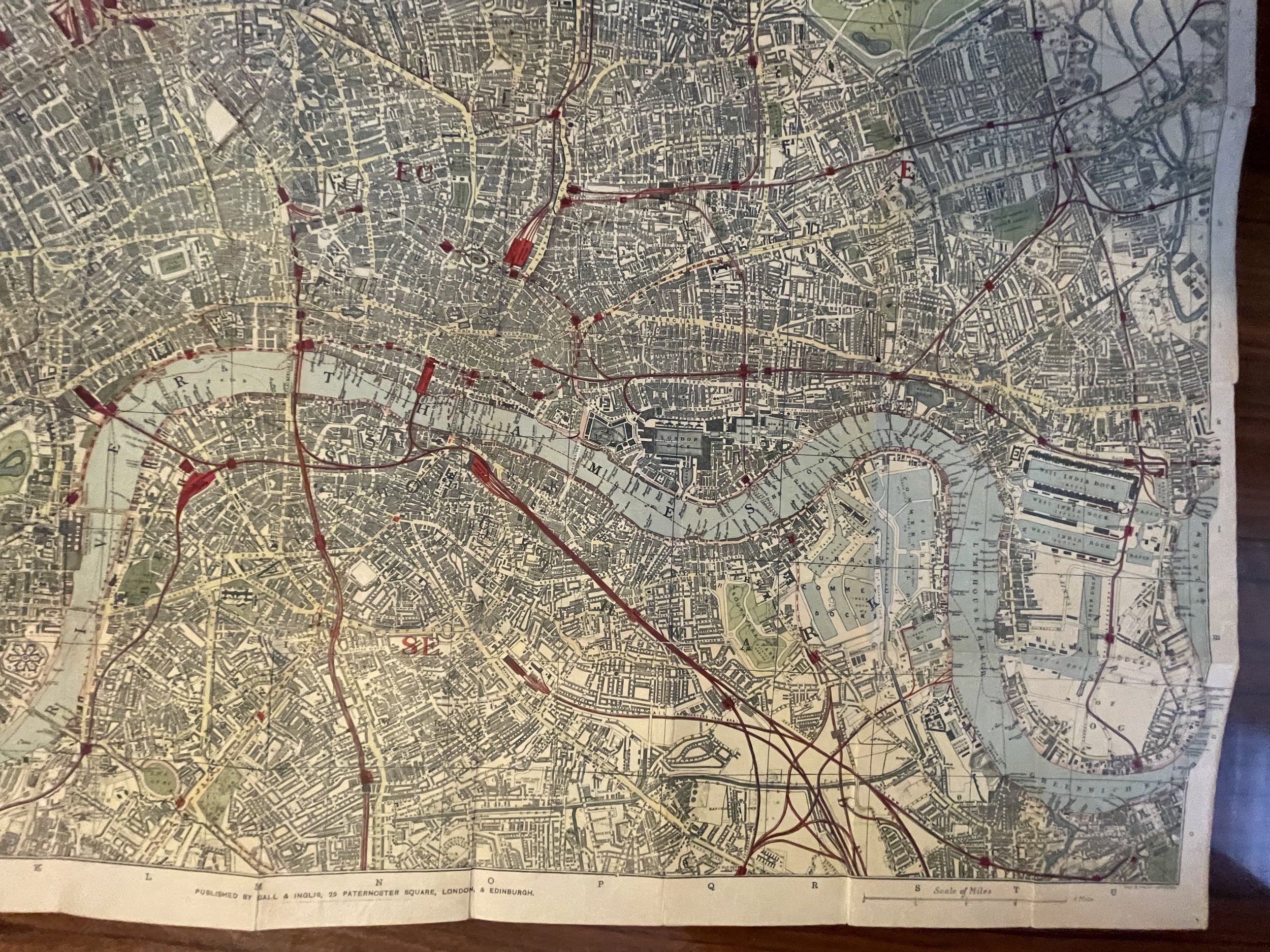
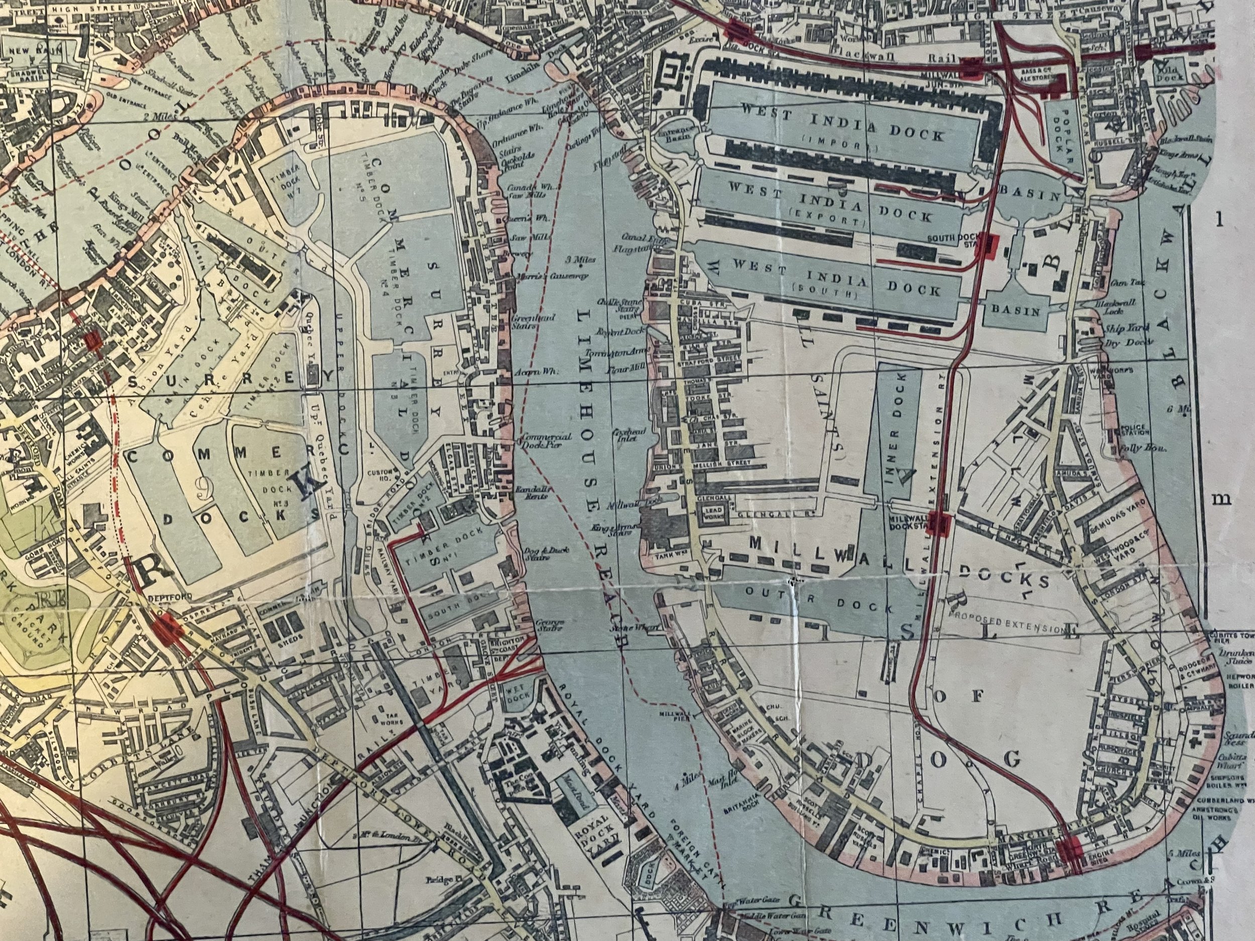
Constructed after 1894 as Tower Bridge is shown on the river Thames. Although the guidebook has become detached and is missing, the map itself is in very good condition with little wear and tear commensurate with its age. Green hardback boards to front with coloured lettering and rear. Small Environs of london map on rear of front board.
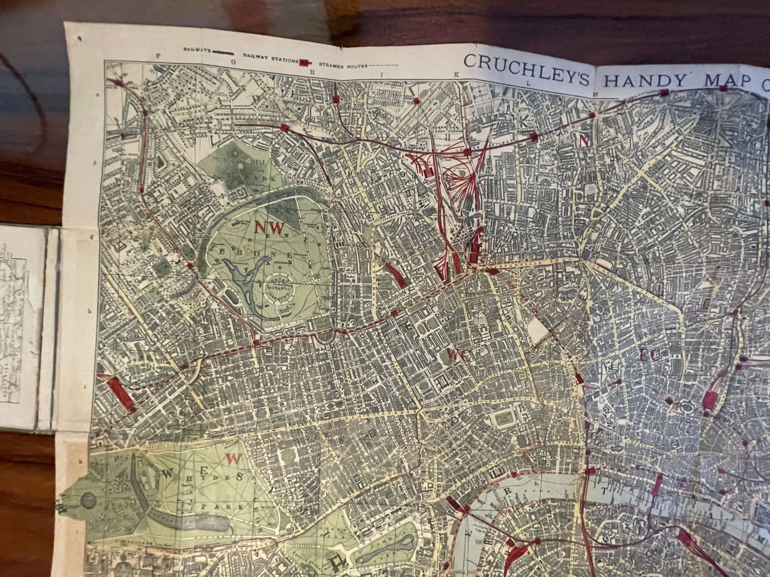
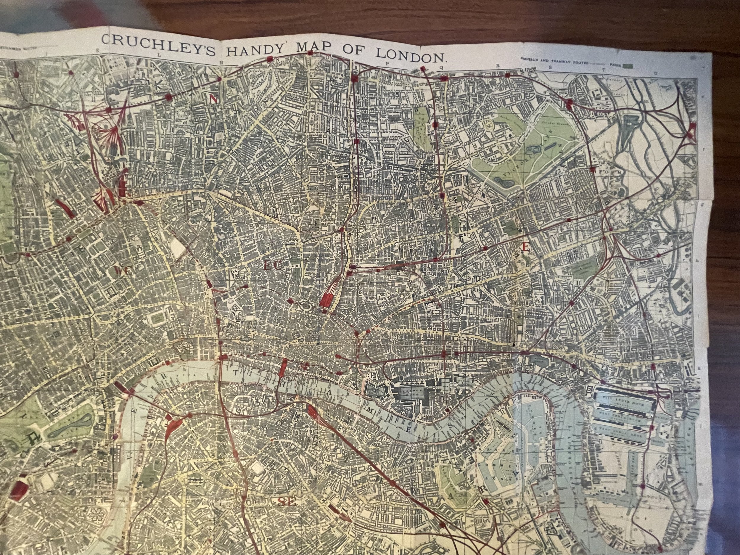
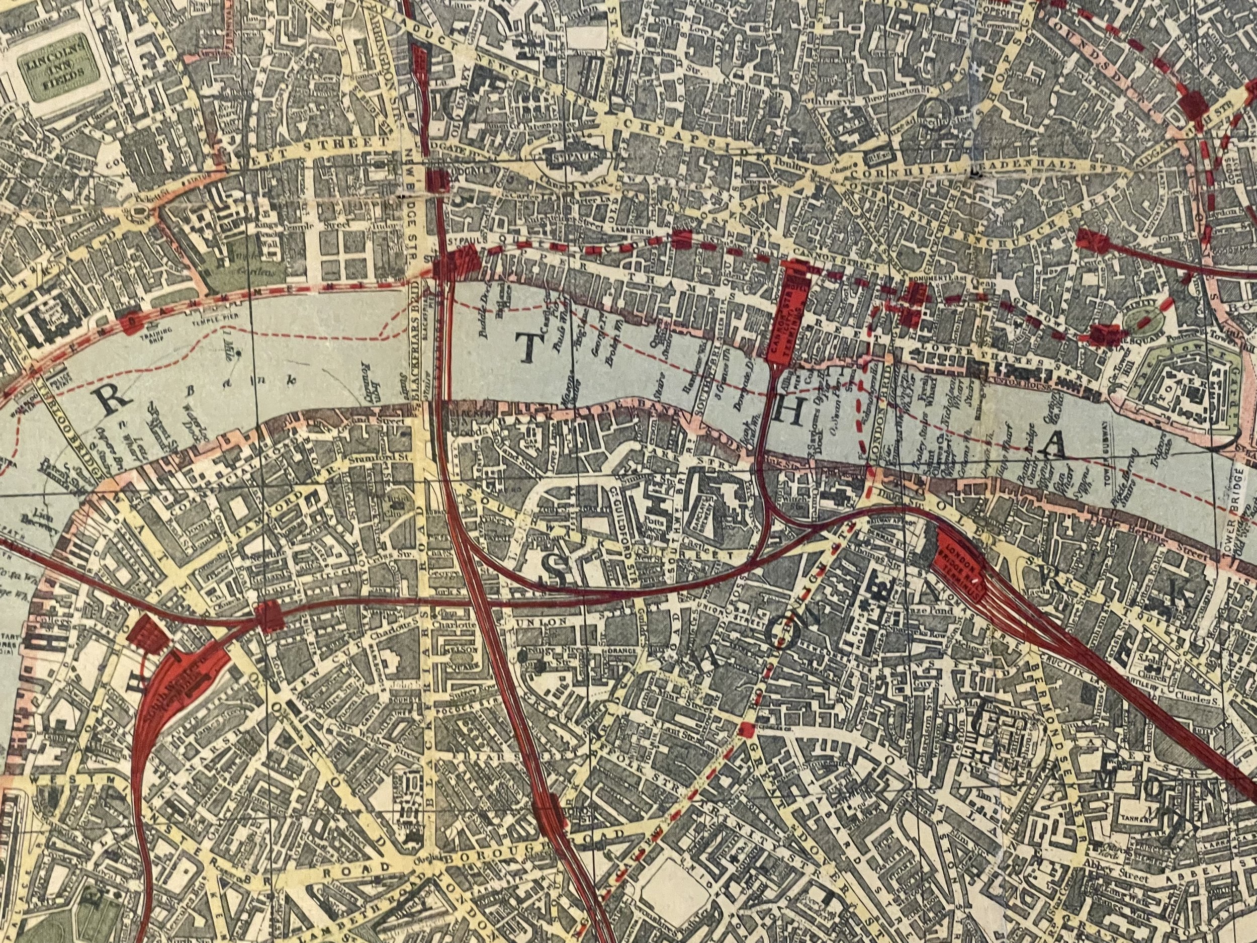
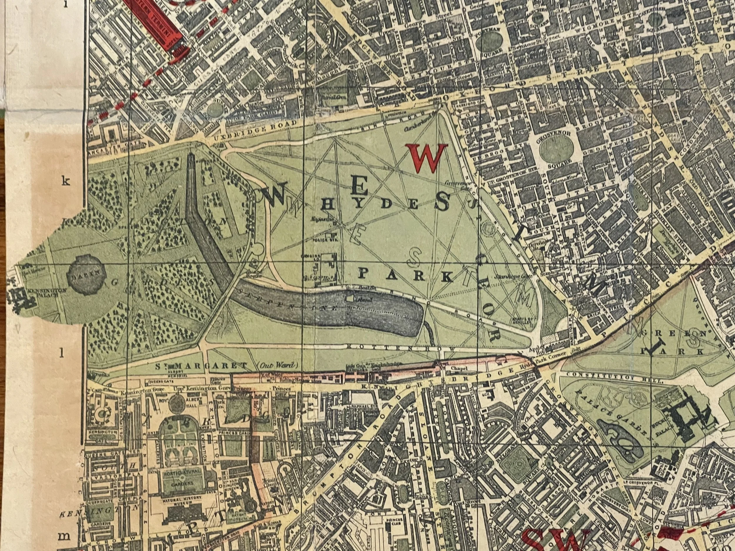
The map is hand coloured and includes Railways, Railway Stations, Steamer Routes, Omnibus and Tramway Routes, Parks.
The map covers: Hyde Park (including parts of Kensington Palace) to Blackwall and from Mildmay Park to South Lambeth. A collectable and scarce map.
Handy Map and Guide of London (Missing its guide) . 1894 - 1899
The map was designed by George Frederick Cruchley (1797-1880).
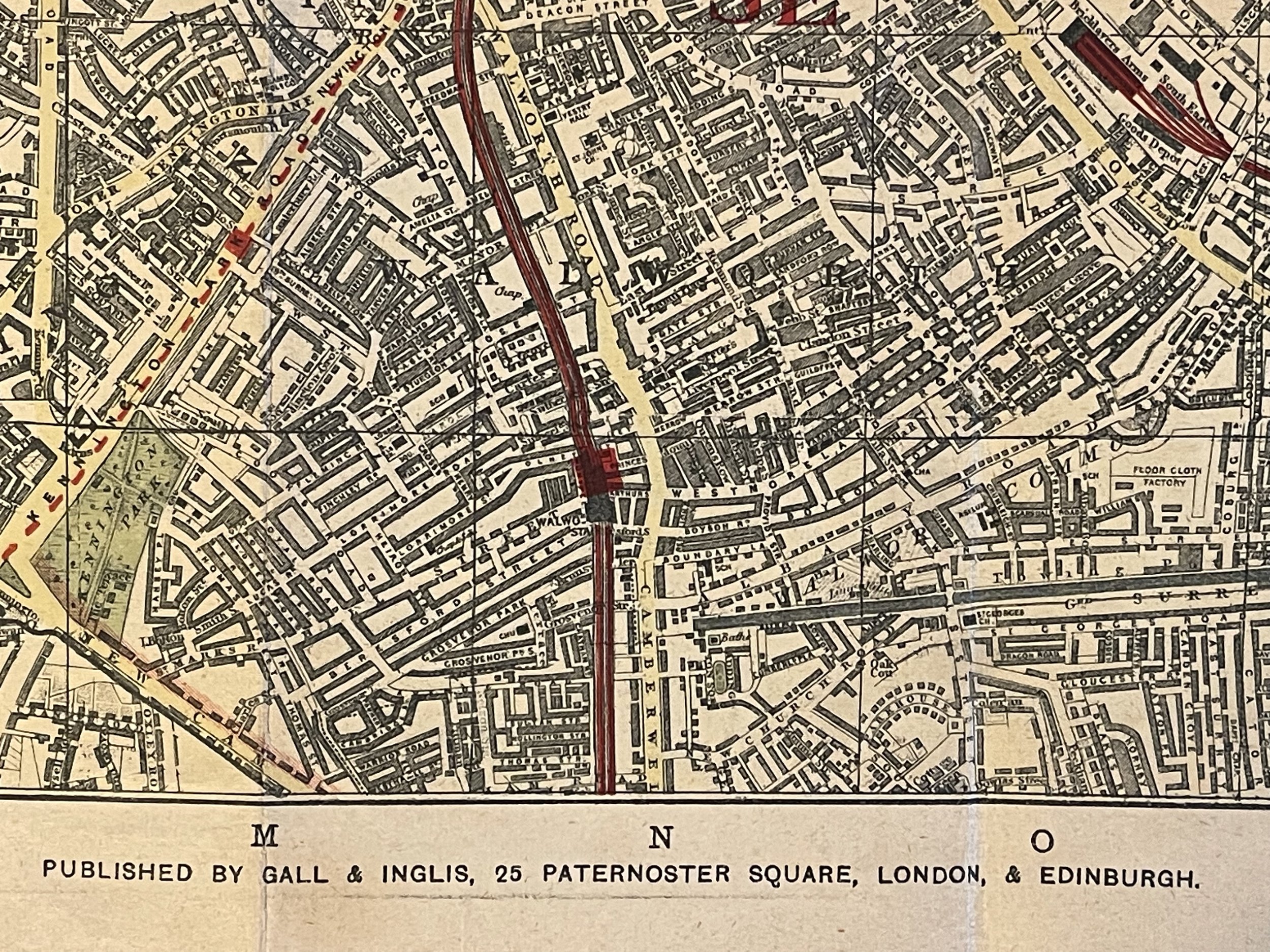
Published by Gall & Inglis' 25 Paternoster Square London EC & Edinburgh. Based in London, Crutchley was a British surveyor, cartographer, engraver, and publisher who began by being apprenticed to the great map maker Aaron Arrowsmith. Then in 1844 Cruchley acquired the stock of John Cary the renown English map maker.
Constructed after 1894 as Tower Bridge is shown on the river Thames. Although the guidebook has become detached and is missing, the map itself is in very good condition with little wear and tear commensurate with its age. Green hardback boards to front with coloured lettering and rear. Small Environs of london map on rear of front board.
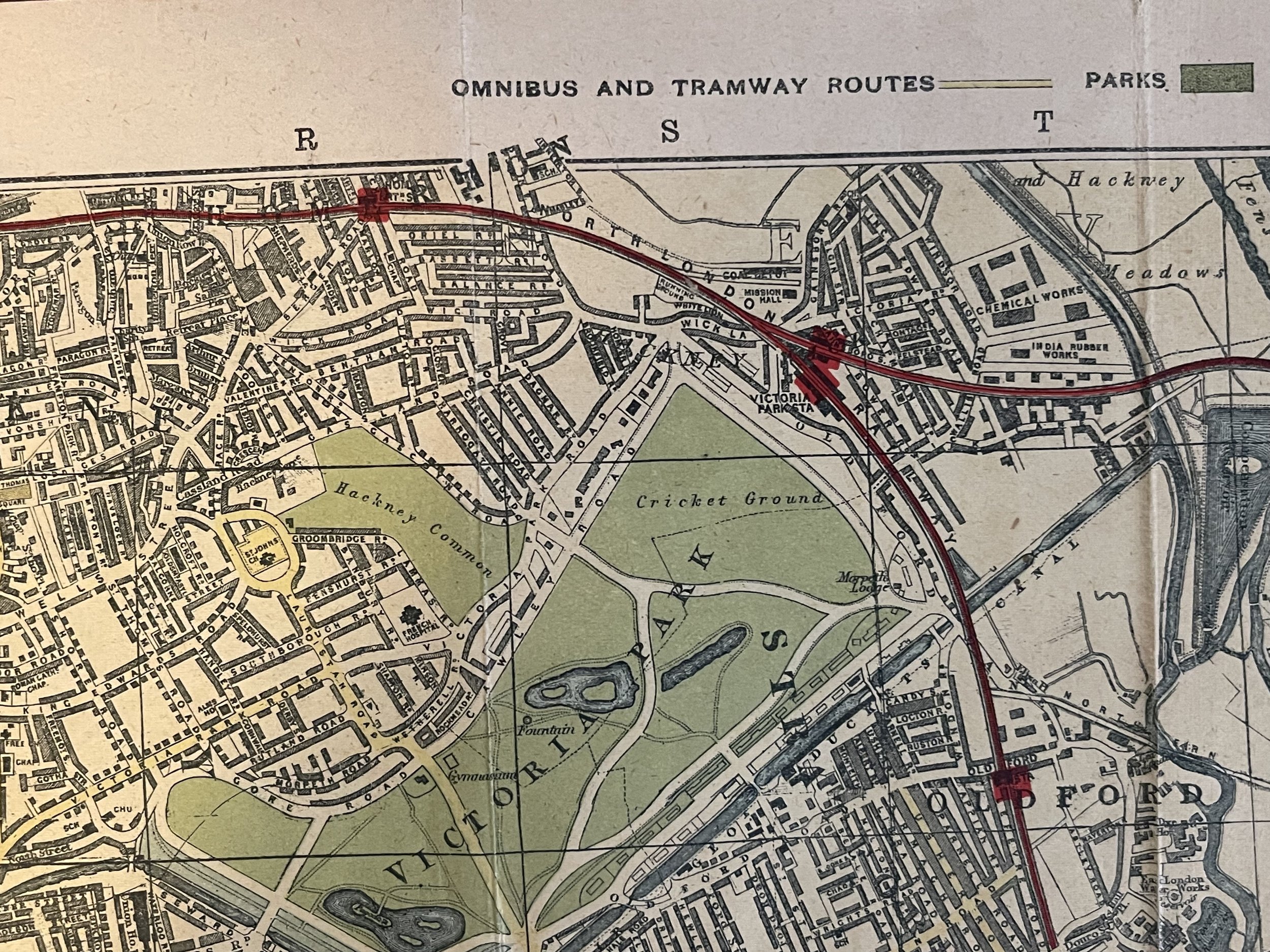
The map is hand coloured and includes Railways, Railway Stations, Steamer Routes, Omnibus and Tramway Routes, Parks.
The map covers: Hyde Park (including parts of Kensington Palace) to Blackwall and from Mildmay Park to South Lambeth. A collectable and scarce map.
Handy Map and Guide of London (Missing its guide) . 1894 - 1899
The map was designed by George Frederick Cruchley (1797-1880).
Published by Gall & Inglis' 25 Paternoster Square London EC & Edinburgh. Based in London, Crutchley was a British surveyor, cartographer, engraver, and publisher who began by being apprenticed to the great map maker Aaron Arrowsmith. Then in 1844 Cruchley acquired the stock of John Cary the renown English map maker.
Constructed after 1894 as Tower Bridge is shown on the river Thames. Although the guidebook has become detached and is missing, the map itself is in very good condition with little wear and tear commensurate with its age. Green hardback boards to front with coloured lettering and rear. Small Environs of london map on rear of front board.
The map is hand coloured and includes Railways, Railway Stations, Steamer Routes, Omnibus and Tramway Routes, Parks.
The map covers: Hyde Park (including parts of Kensington Palace) to Blackwall and from Mildmay Park to South Lambeth. A collectable and scarce map.
Code : A835
Cartographer : Cartographer / Engraver / Publisher: George Frederick Cruchley / Gall & Inglis
Date : Publication Place / Date - 1895-1899
Size : Sheet size: Image Size: 75.5 X 50.5 cm
Availability : Available
Type - Genuine - Antique
Grading A-
Where Applicable - Folds as issued. Light box photo shows the folio leaf centre margin hinge ‘glue’, this is not visible otherwise.
Tracked postage, in casement. Please contact me for postal quotation outside of the UK.