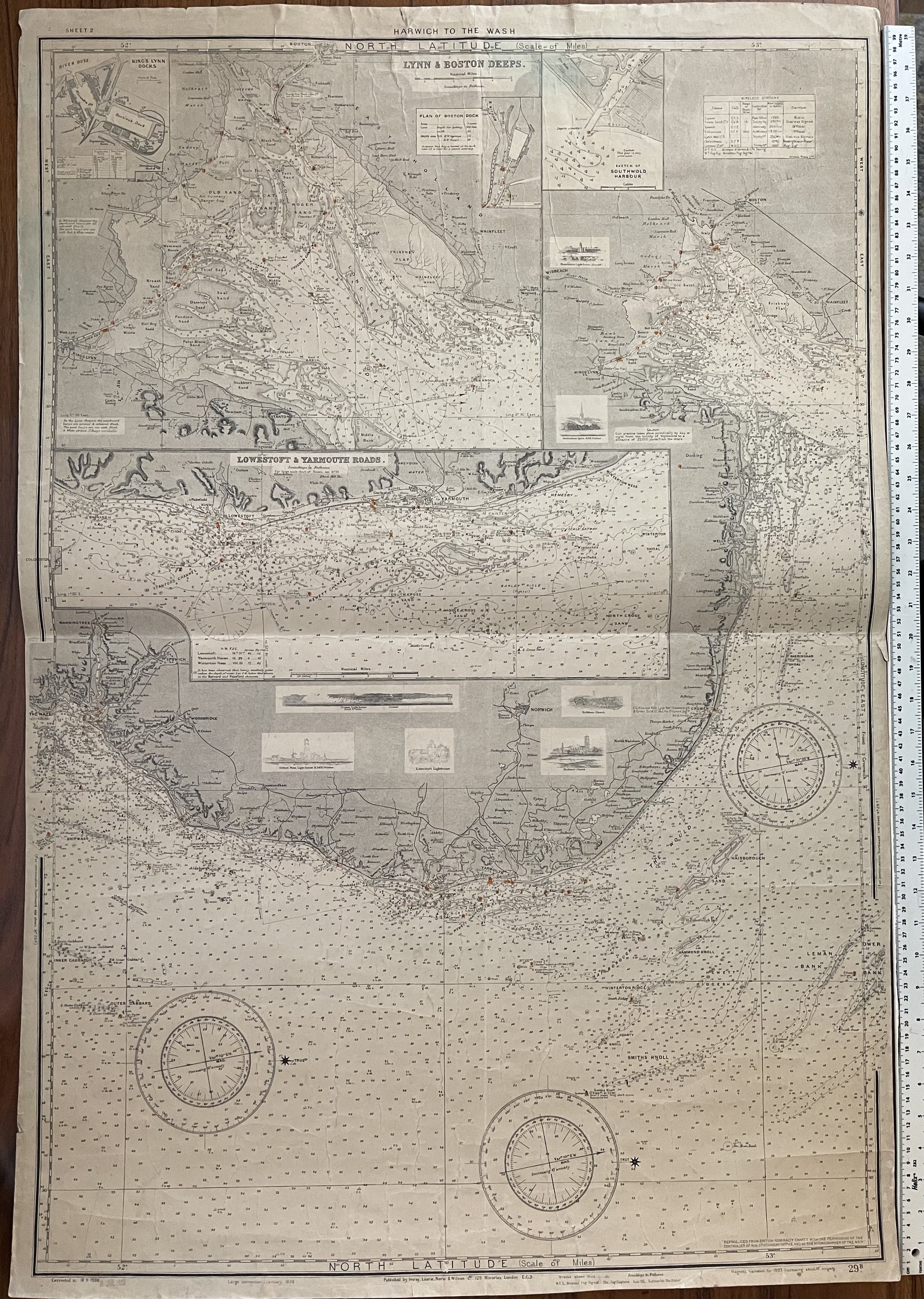
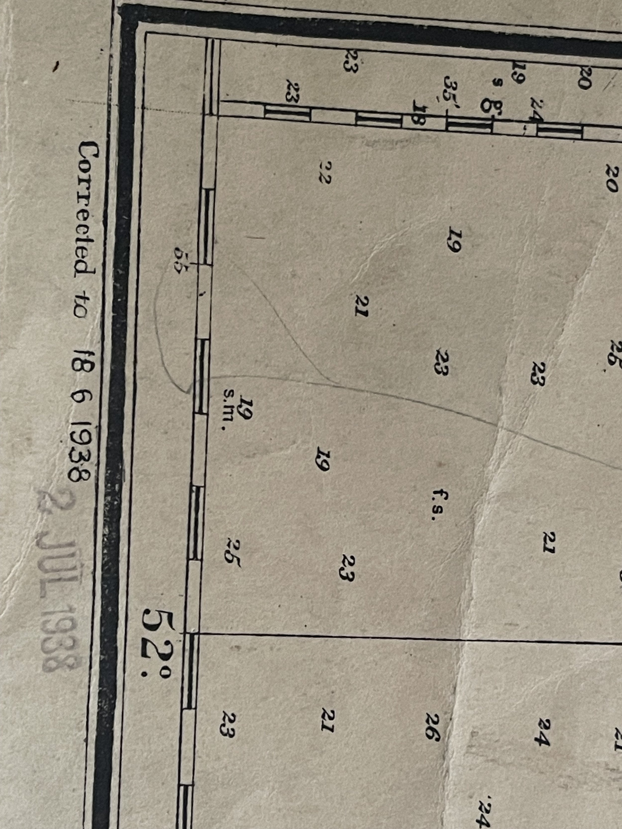

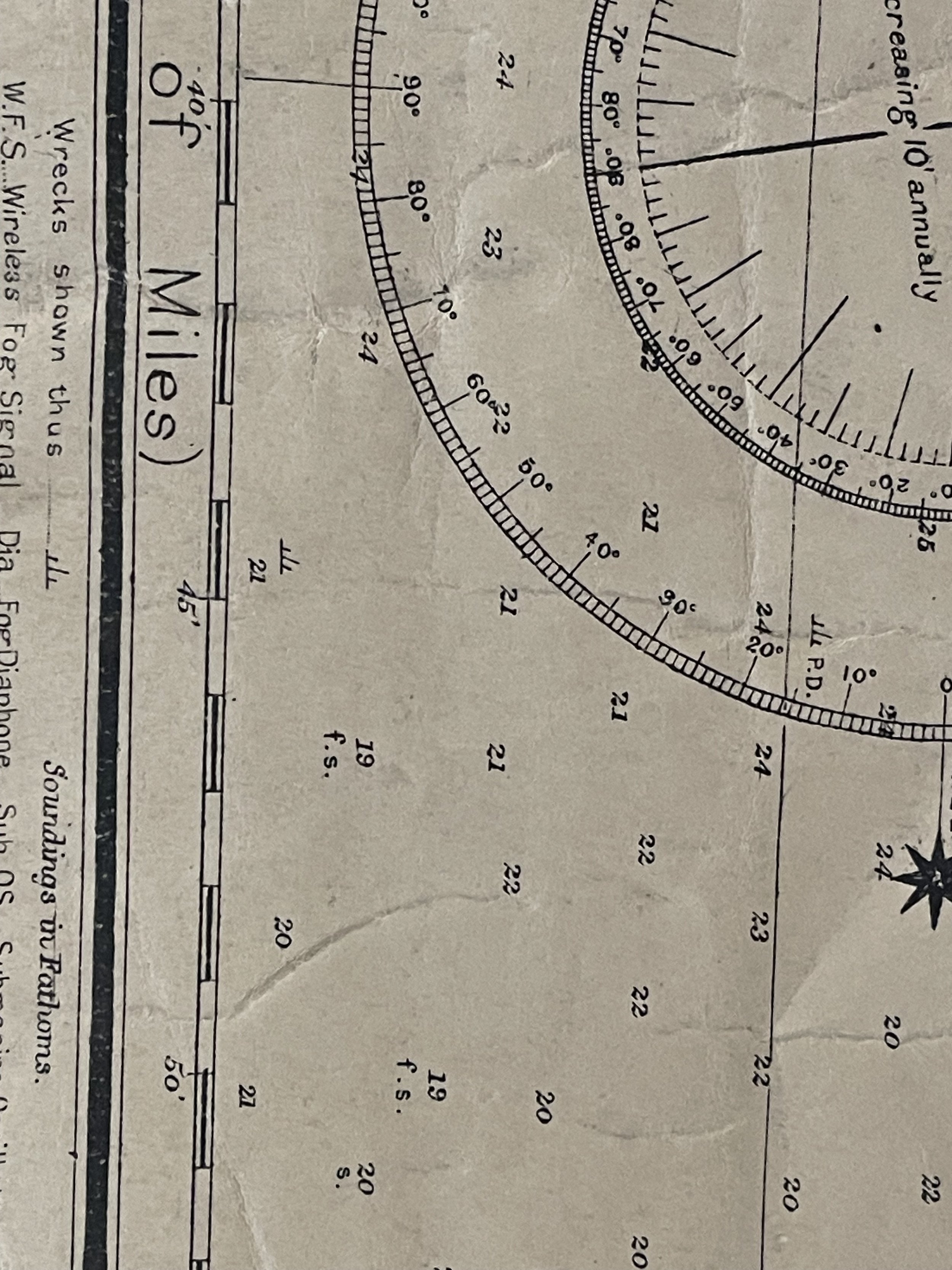
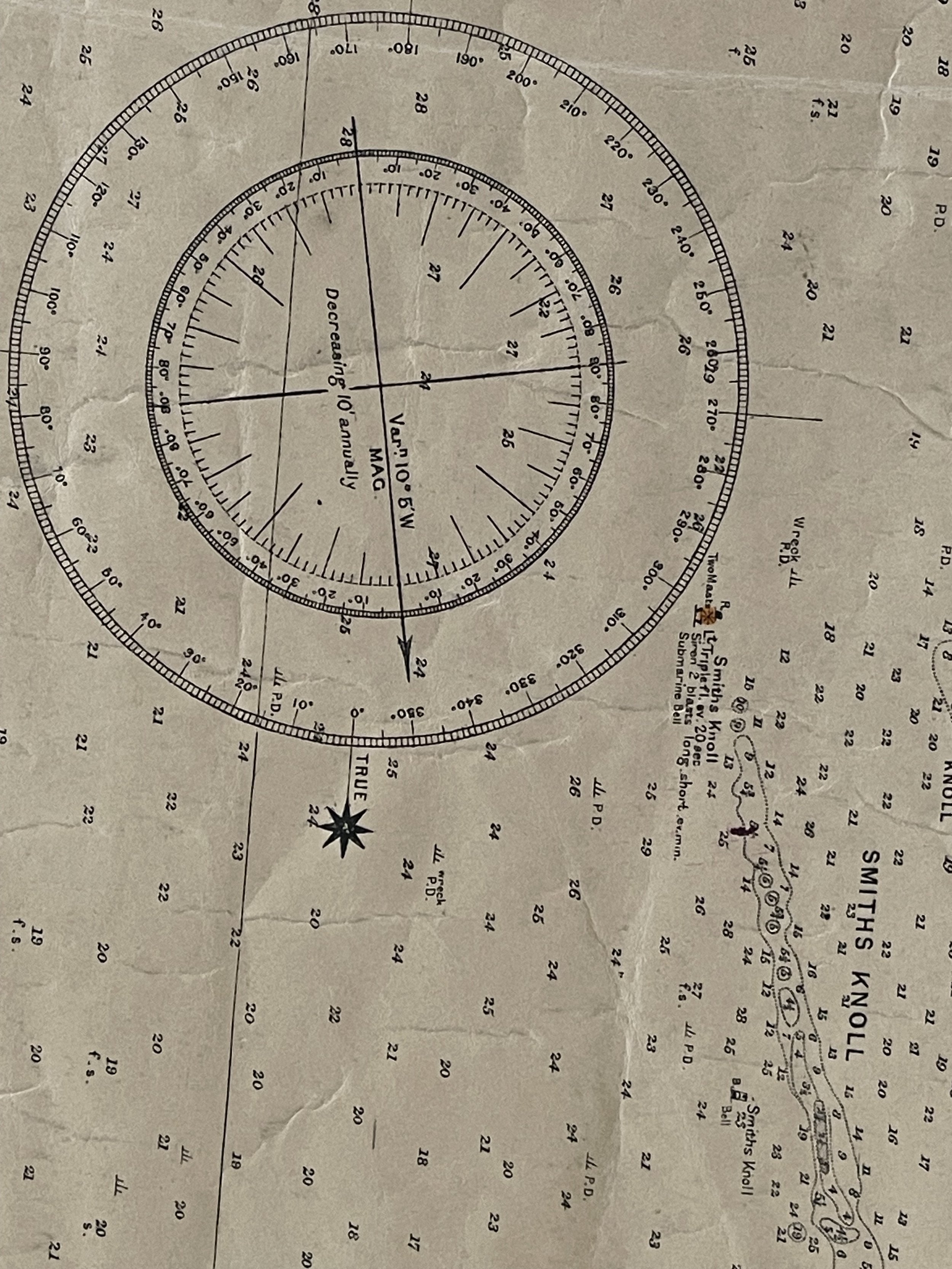
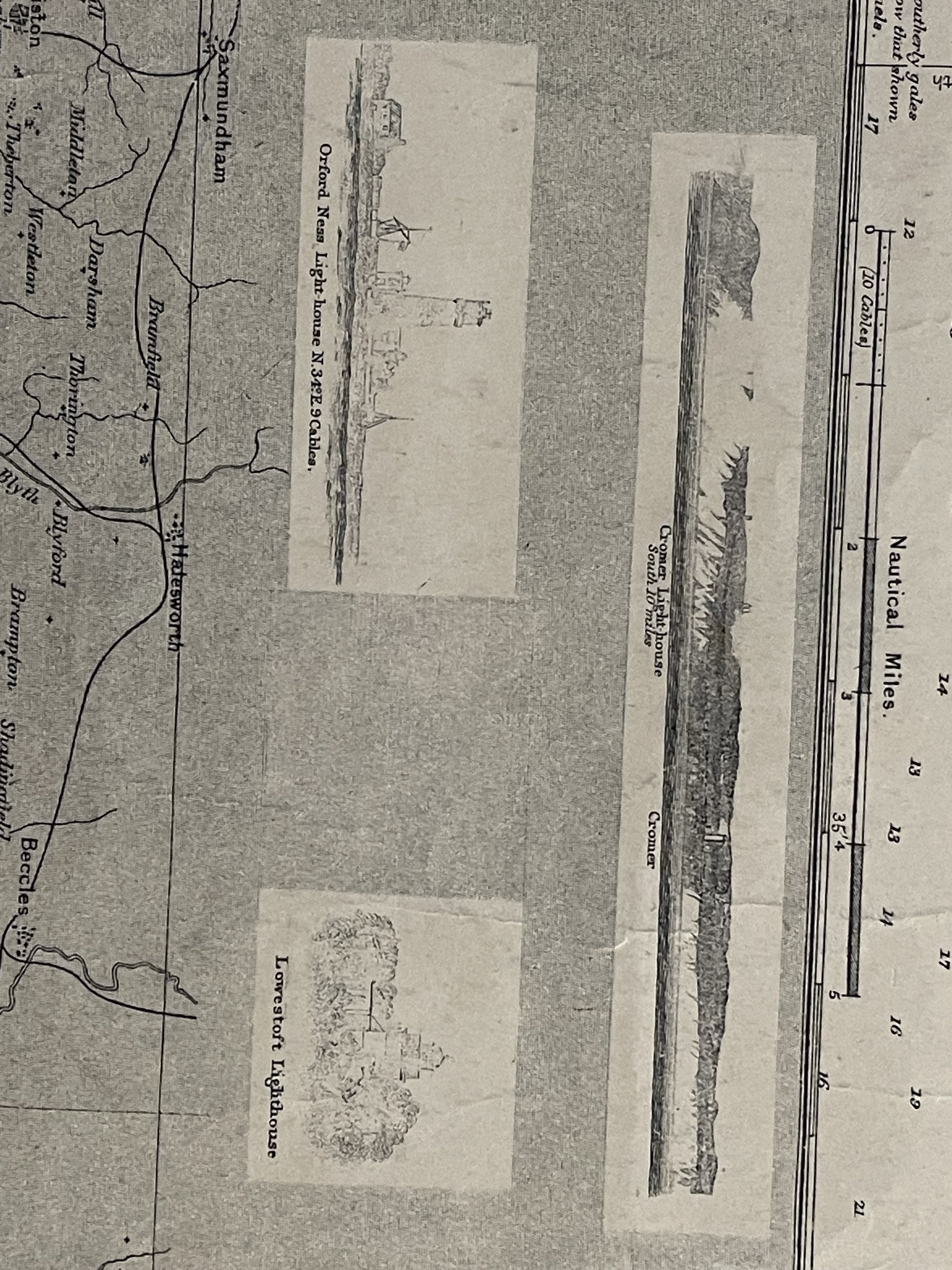
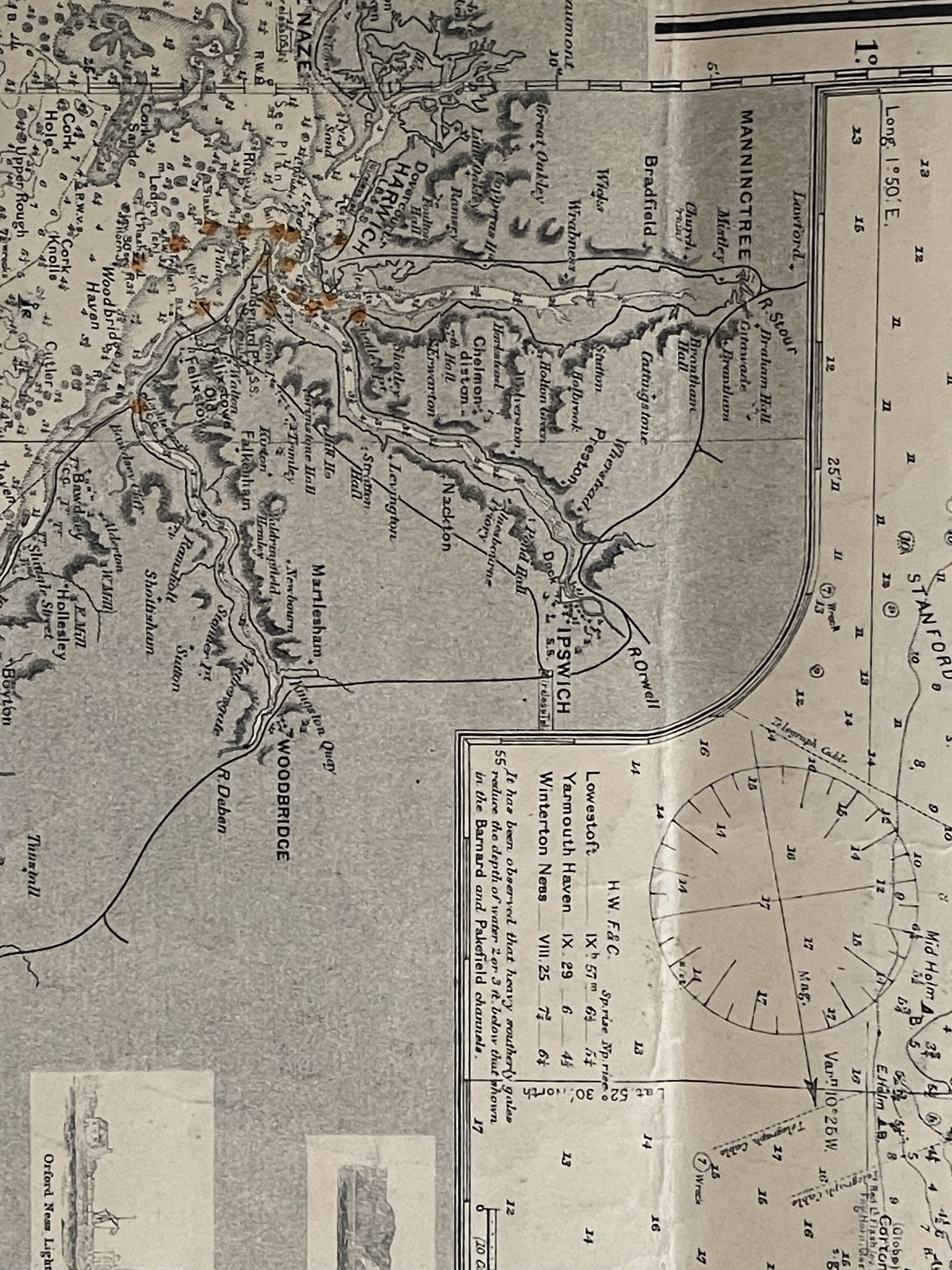
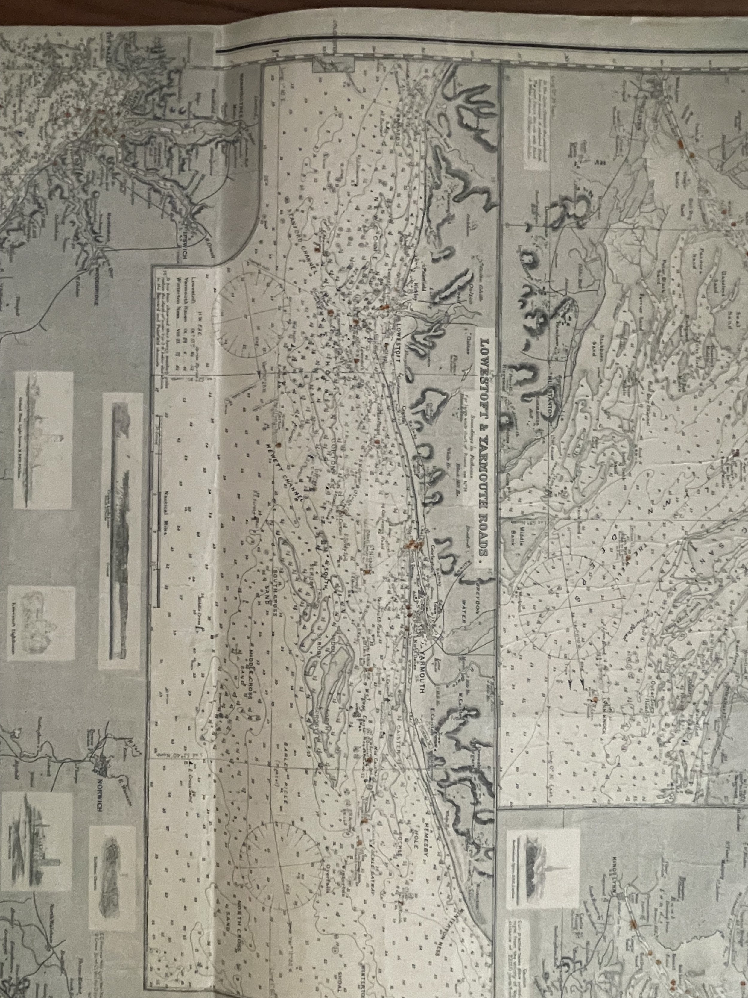
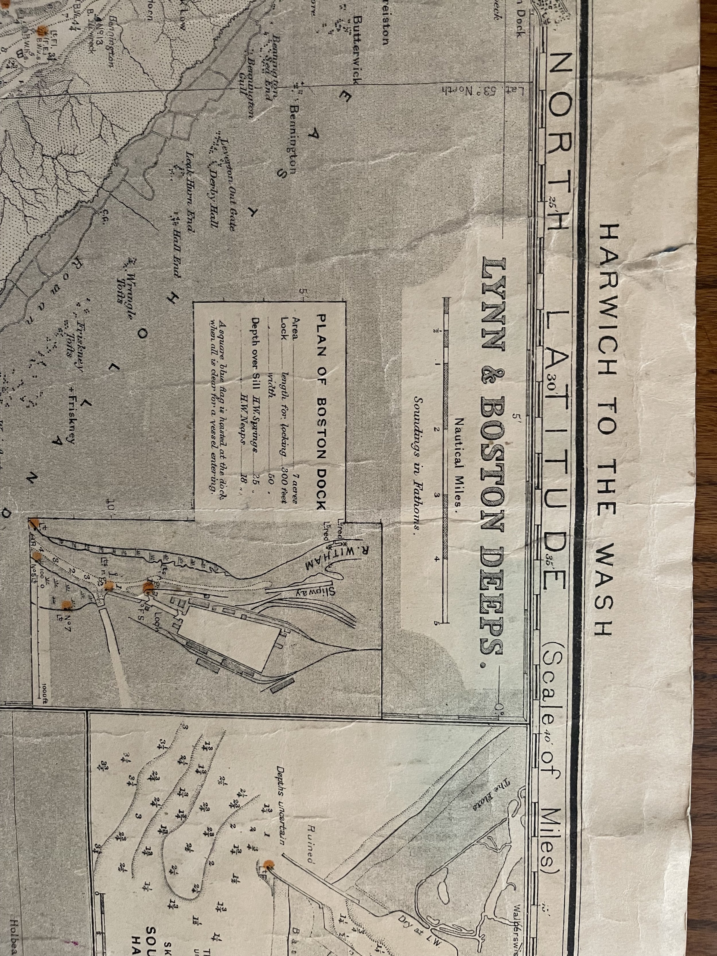
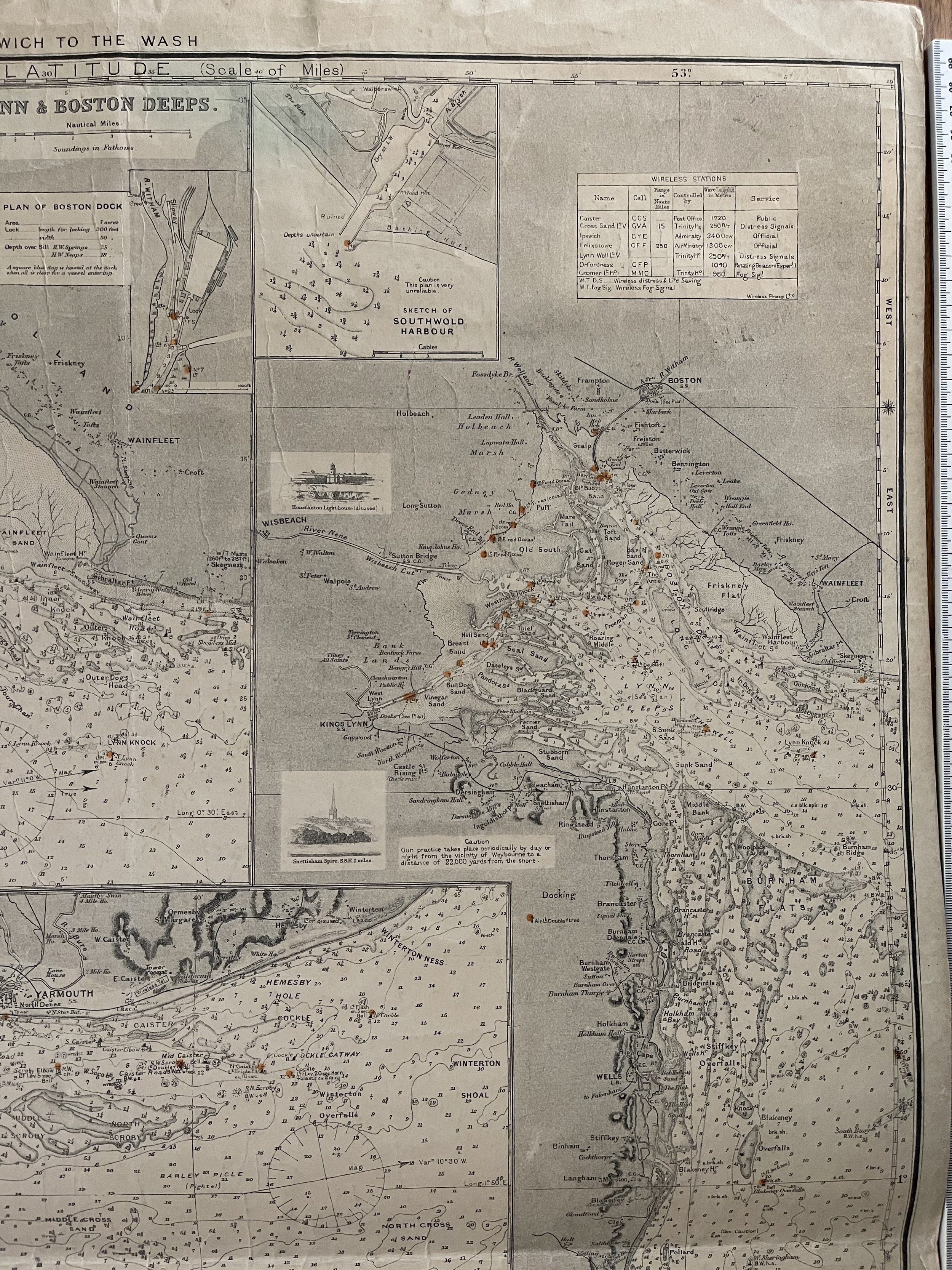
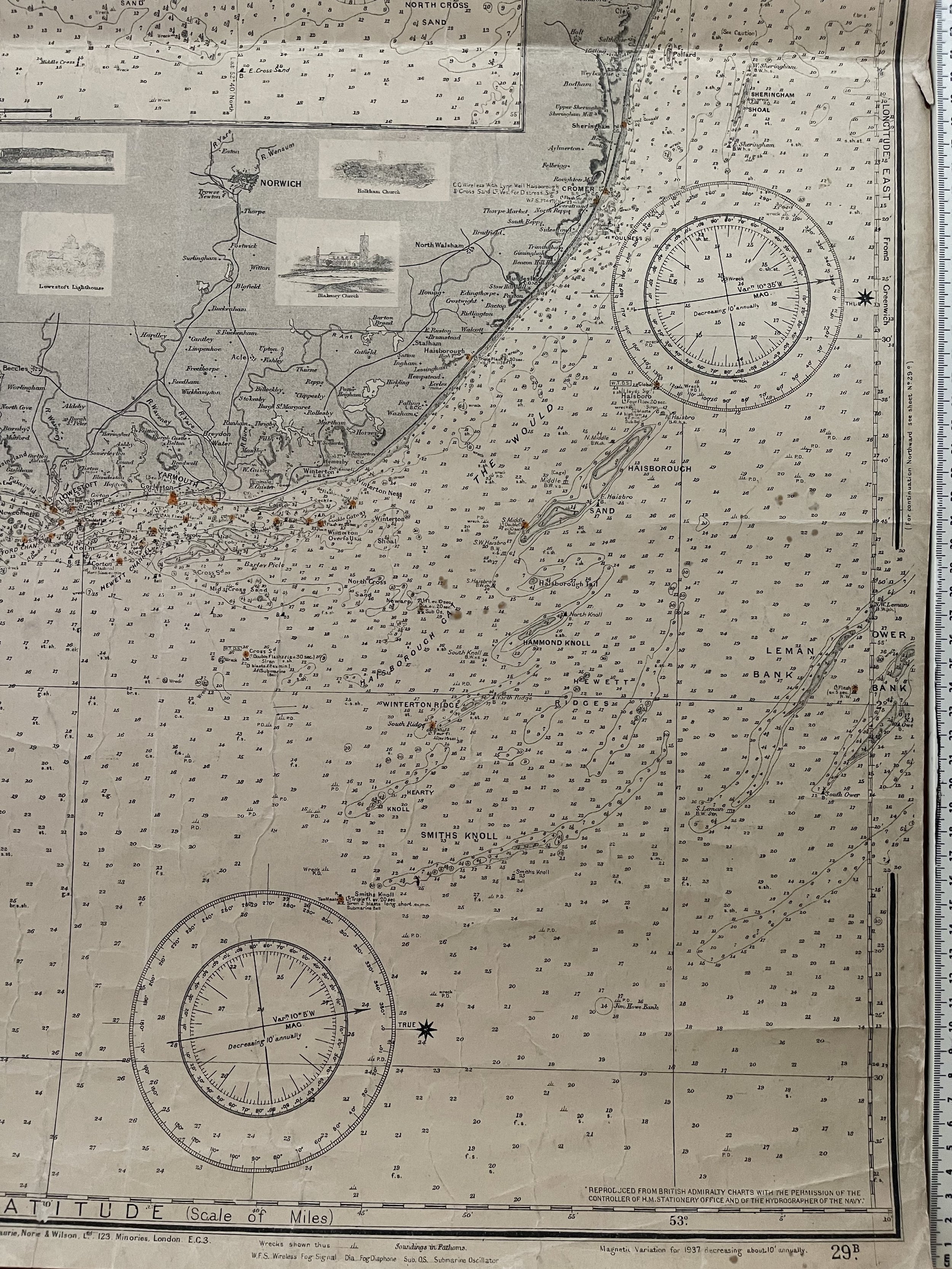
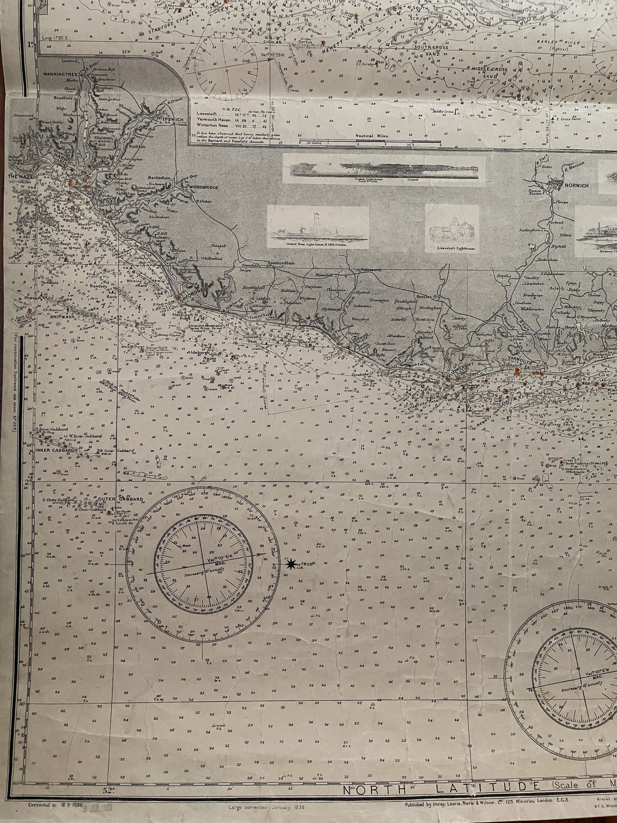
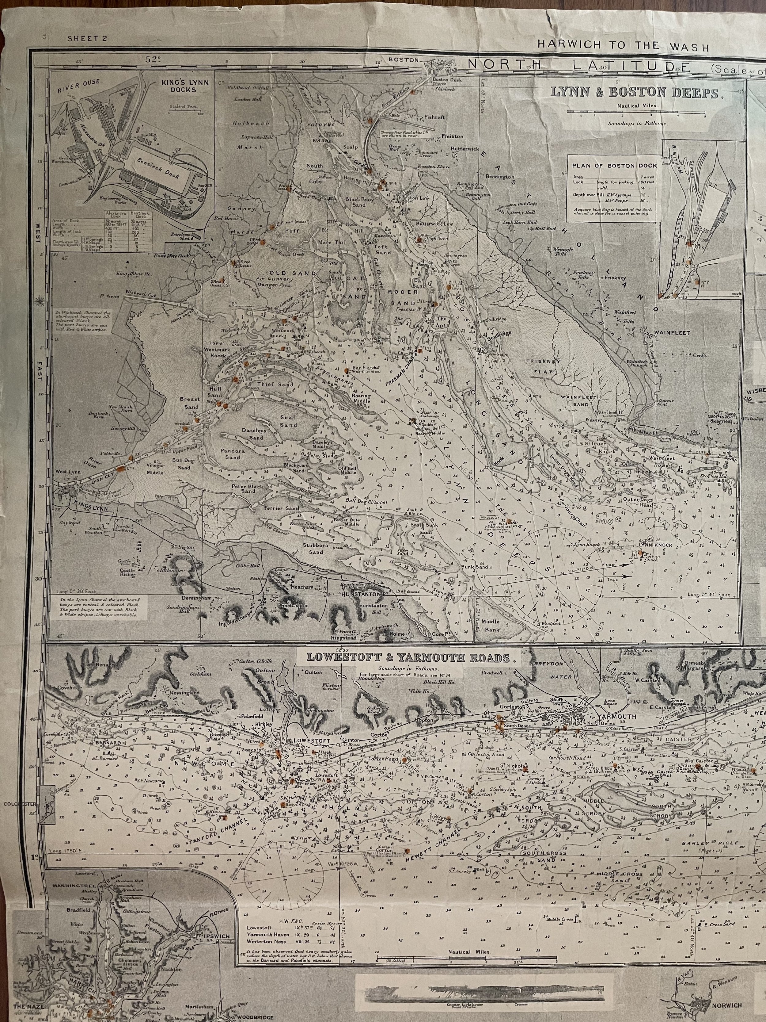
Harwich to the Wash - Nautical Large Sea Chart (Just pre WW2) - Imray, Laurie, Norie & Wilson - Corrected July 1938
Harwich Wash Nautical Large Sea Chart (Just pre WW2) - Imray, Laurie, Norie & Wilson - Corrected July 1938
Imray, Laurie, Norie and Wilson Ltd was formed in 1904 when three chart publishing firms merged. It is still owned and run by descendants of the original founders, and operates with an independent, family run ethos.
Each of the founding companies of Imray had a long and prestigious history going back to the mid-1700s, when the hubbub of merchant ships filled the London docklands and these early cartographers, nautical instrument makers and pilot book publishers worked alongside ships’ captains and crew. Our charts were supplied to mariners around the world.
Code : A1047
Cartographer : Cartographer / Engraver / Publisher: Imray, Laurie, Norie & Wilson
Date : Publication Place / Date - 1938
Size : Sheet size: Image Size: 69.5 x 101 cm
Availability : Available
Type - Genuine - Antique
Grading A-
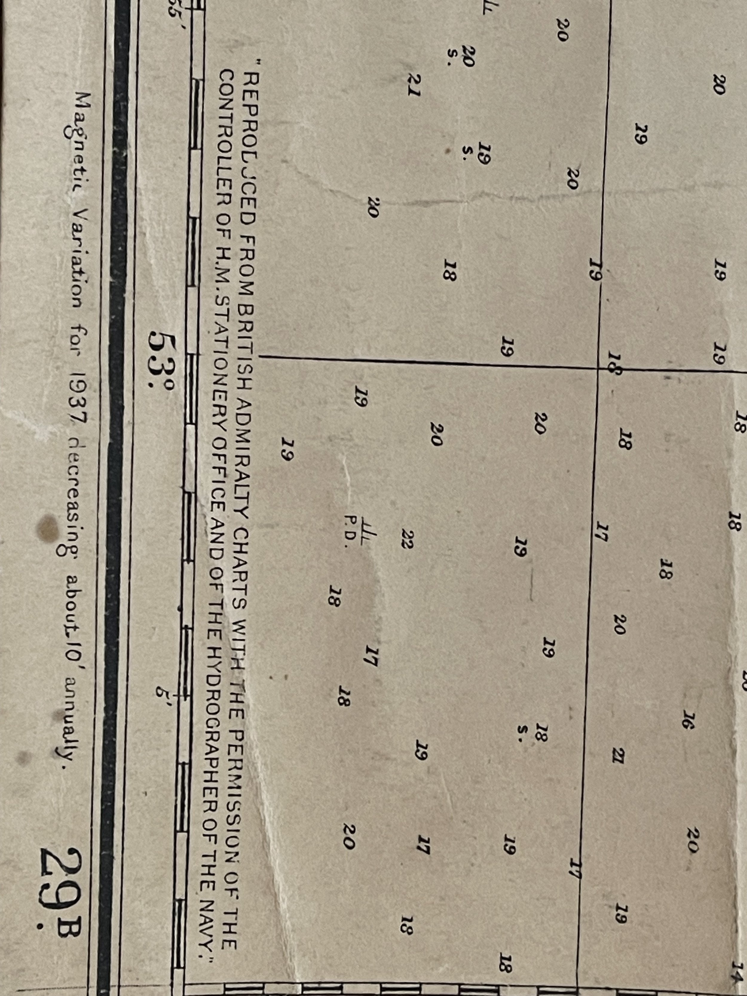
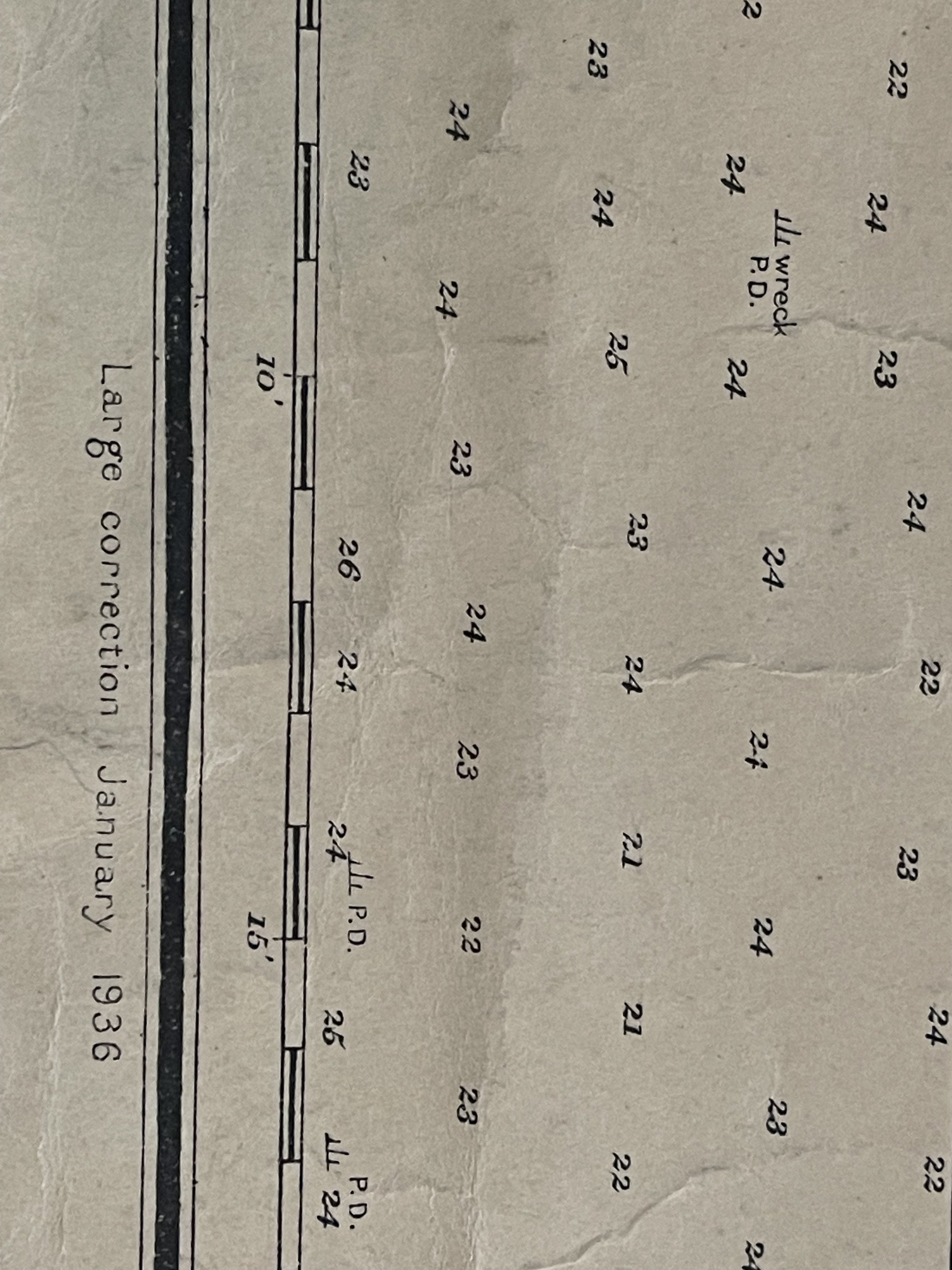
Where Applicable - Folds as issued. Light box photo shows the folio leaf centre margin hinge ‘glue’, this is not visible otherwise.
Tracked postage, in casement. Please contact me for postal quotation outside of the UK.