Antique map titled 'Coloniensis Archicpiscopatus',. - Mercator / Hondius; engraved by Peter Van den Keere (Petrus Kaerius).
Köln/ Cologne, Germany.
Mercator, Gerard. Petrus Kaerius/ Pieter Van der Keere. "Coloniensis Archiepiscopatus. " "Archepicopatus Coloniensis ad Rhenum. " Amsterdam, Johannis Cloppenburgji. 1632
Copper engraved map of the Archbishopric of Cologne/ Köln and the Rhine. Germany. from" Gerardi Mercatoris, Atlas sive Cosmographicae Meditationes de Fabrica mundi et fabricati figura, "Latin text to verso.
A finely engraved map of part of western Germany showing Cologne and the Rhine from an relatively scarce English text edition of the Mercator / Hondius 'Atlas Minor'. Having acquired the plates to the 1607 edition of the 'Atlas Minor', the London booksellers Michael Sparke and Samuel Cartwright republished it as 'Historia Mundi or Mercator's Atlas', with the text translated into english.
The presence of the supplemental English title in the left margin indicates that this map is from the 1637 edition.
Gerardus Mercator - 5 March 1512 – 2 December 1594) was a Flemish geographer, cosmographer and cartographer. He is most renowned for creating the 1569 world map based on a new projection which represented sailing courses of constant bearing (rhumb lines) as straight lines—an innovation that is still employed in nautical charts.
Mercator was a notable maker of globes and scientific instruments. In addition, he had interests in theology, philosophy, history, mathematics and geomagnetism. He was also an accomplished engraver and calligrapher. Unlike other great scholars of the age, he travelled little, and his knowledge of geography came from his library of over a thousand books and maps, from his visitors and from his vast correspondence (in six languages) with other scholars, statesmen, travellers, merchants and seamen. Mercator's early maps were in large formats suitable for wall mounting but in the second half of his life, he produced over 100 new regional maps in a smaller format suitable for binding into his Atlas of 1595. This was the first appearance of the word Atlas in reference to a book of maps. However, Mercator used it as a neologism for a treatise (Cosmologia) on the creation, history and description of the universe, not simply a collection of maps. He chose the word as a commemoration of the Titan Atlas, "King of Mauretania", whom he considered to be the first great geographer.
The "Atlas Minor" of Gerhard Mercator appears in various formats, the first published by Jodicus Hondius in 1607 with plates he most likely engraved himself. Thereafter there appeared a number of editions.
In 1628 Johannes Janssonius published a new series of editions, the plates engraved by Petrus Kaerius and Abraham Goos. Both were small format atlases in the tradition of that published by Langenes.
In 1630 Johannes Cloppenburg published a French edition in a somewhat larger size, followed by this Latin edition in 1632. The plates were in the main engraved by Petrus Kaerius. Cloppenburg published the Altas at his own expense "sumptibus"as the imprint states. There was one more edition in 1636 with French text. Due to their larger size the maps from the Cloppenberg editions have more information, than those of Hondius and Janssonius, and are considered by some scholars as a true reduction of the maps of Mercator, as they appear in the folio Atlas.
Pieter van den Keere (Latin: Petrus Kaerius 1571 – c. 1646) was a Flemish engraver, publisher and globe maker who worked for the most part of his career in England and the Dutch Republic.
He was born in Ghent, son of engraver Hendrik van den Keere, and around 1583–1584 moved with his family for religious reasons to London. His sister, Colette van den Keere, who immigrated with van den Keere married Jodocus Hondius three years later. In London, van den Keere received training as an engraver from Jodocus Hondius, his brother-in-law. In 1593, both Keere and Hondius settled in Amsterdam. In Amsterdam he was betrothed on 7 September 1599 to Anna Burts or Beurt from Ghent, but he became betrothed again there on 10 March 1623 to a widow from Hoorn, Anna Winnens van Gent, possibly due to the death of his first wife. After 1630, there are few details of his life. The dating of some plates for John Speed's Prospect of the Most Famous Parts of the World of 1646 indicates that he was still alive then.
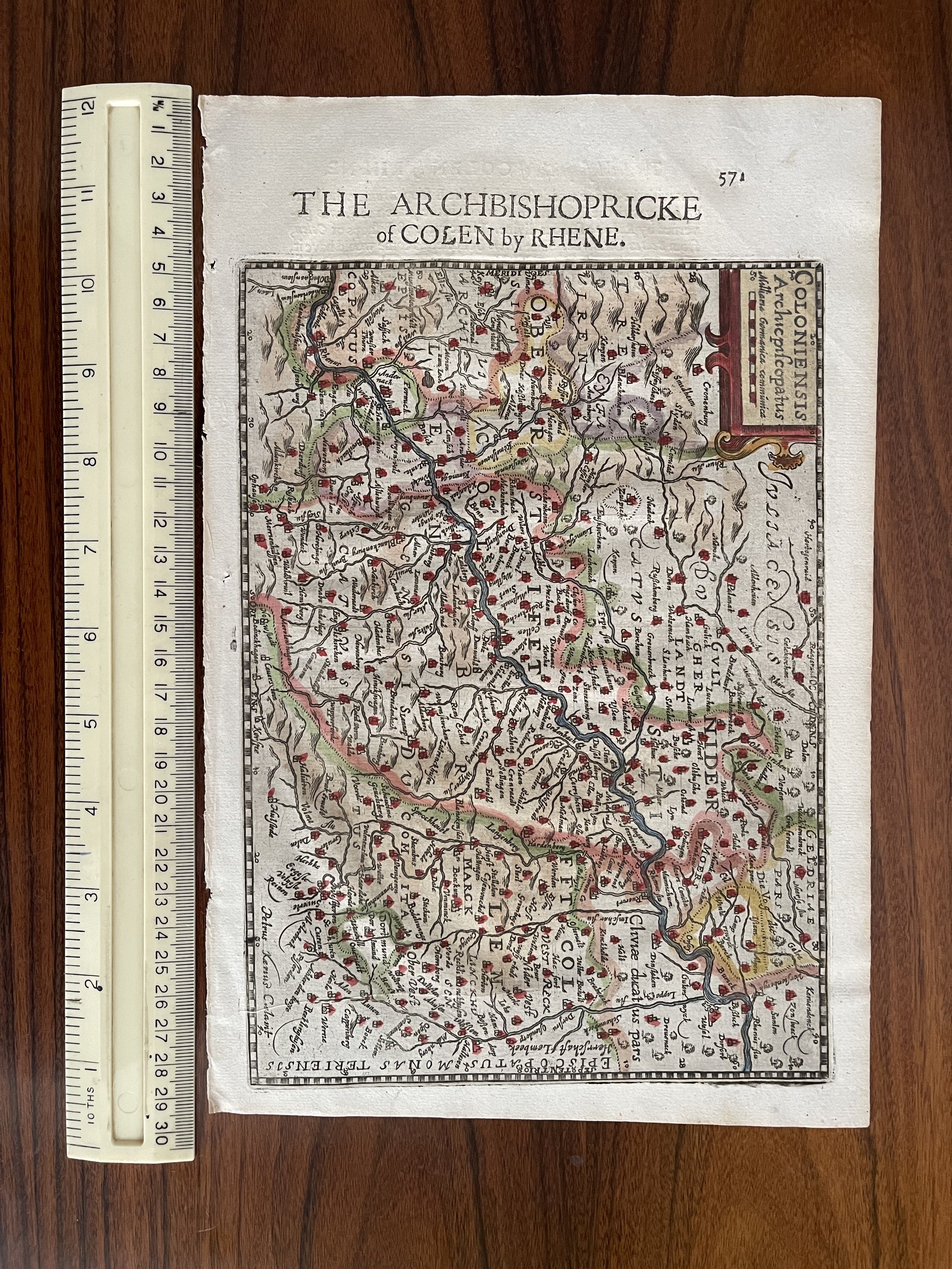 Image 1 of 7
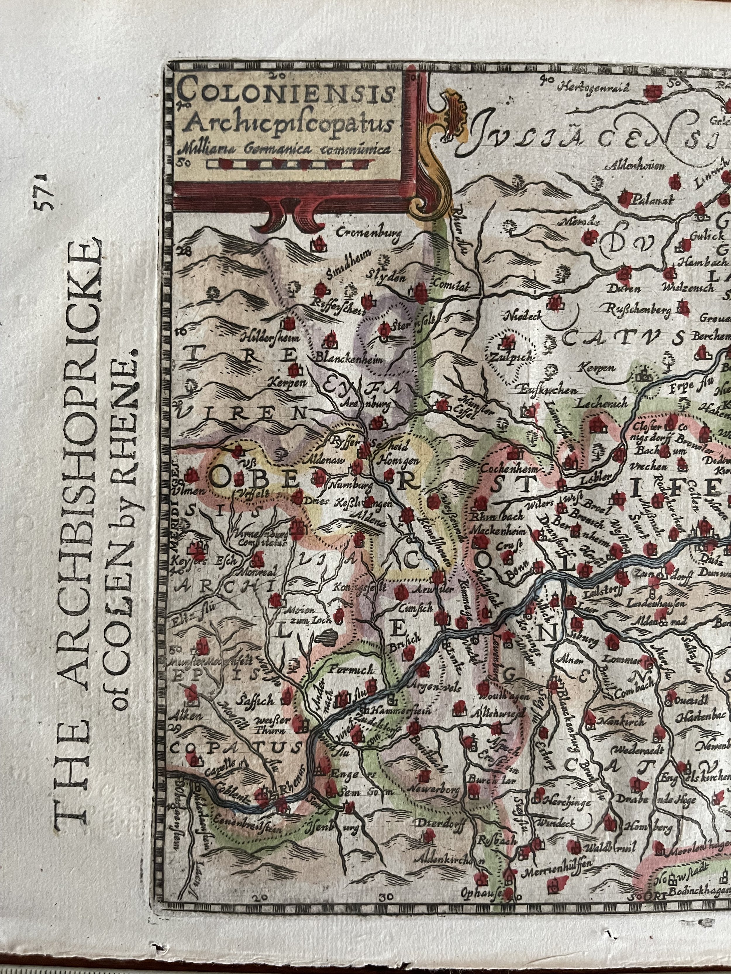 Image 2 of 7
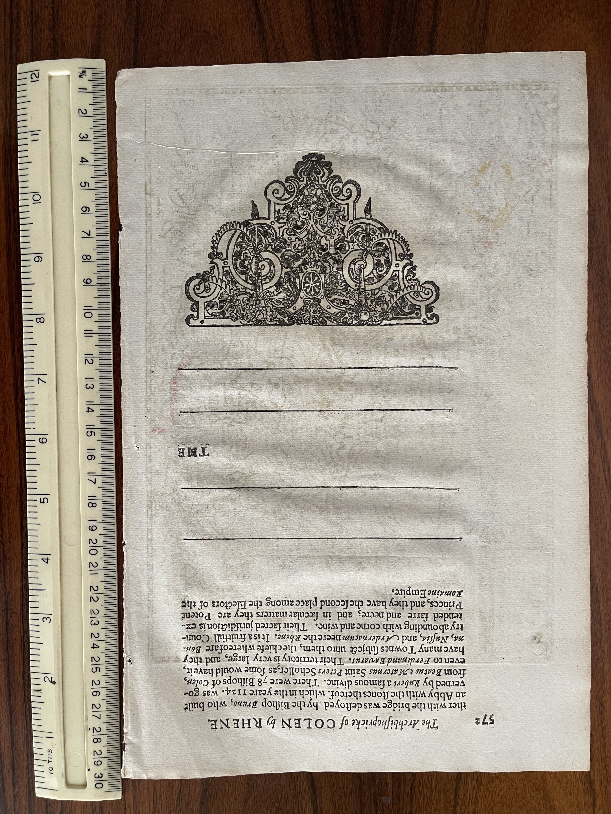 Image 3 of 7
 Image 4 of 7
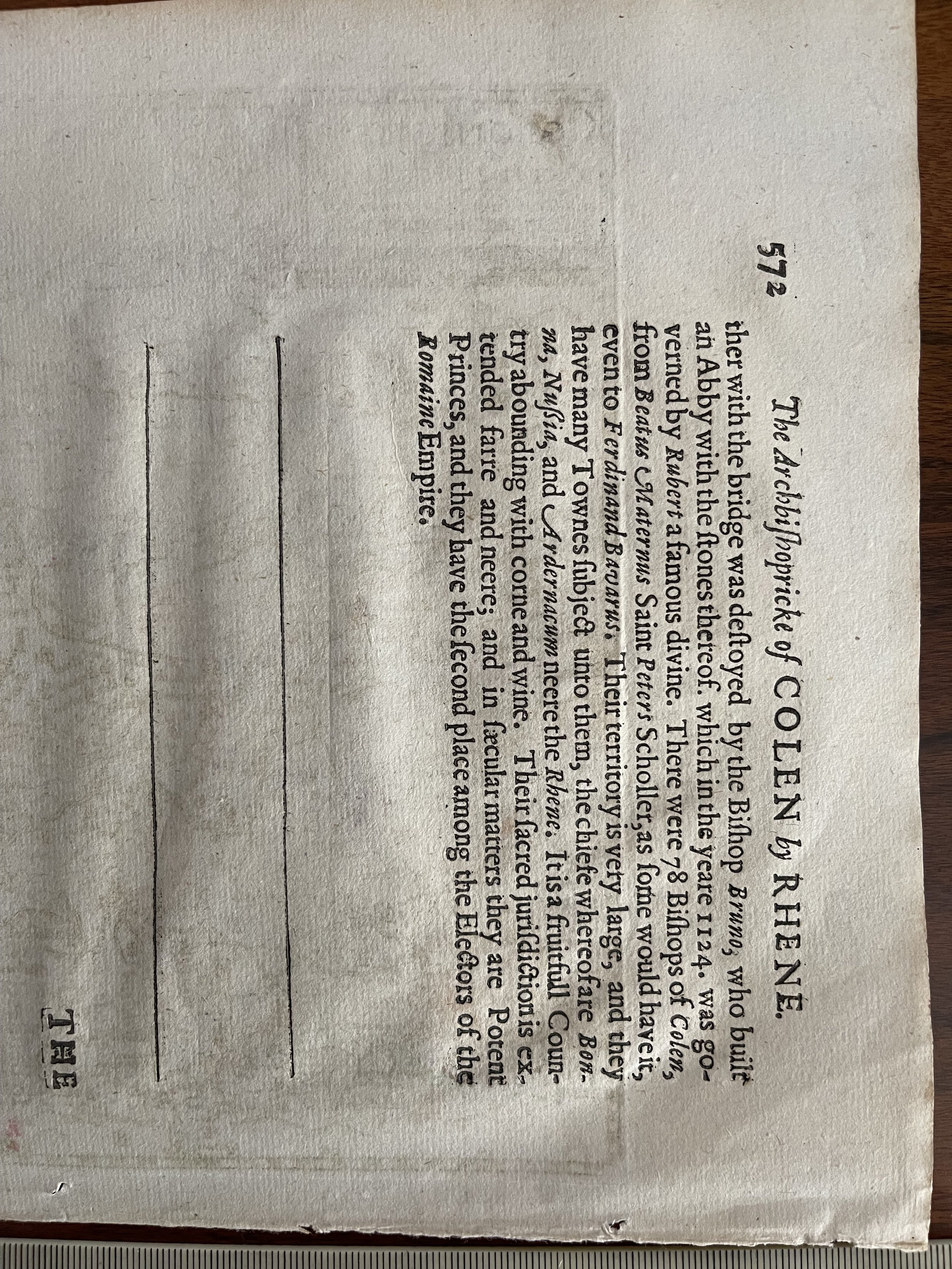 Image 5 of 7
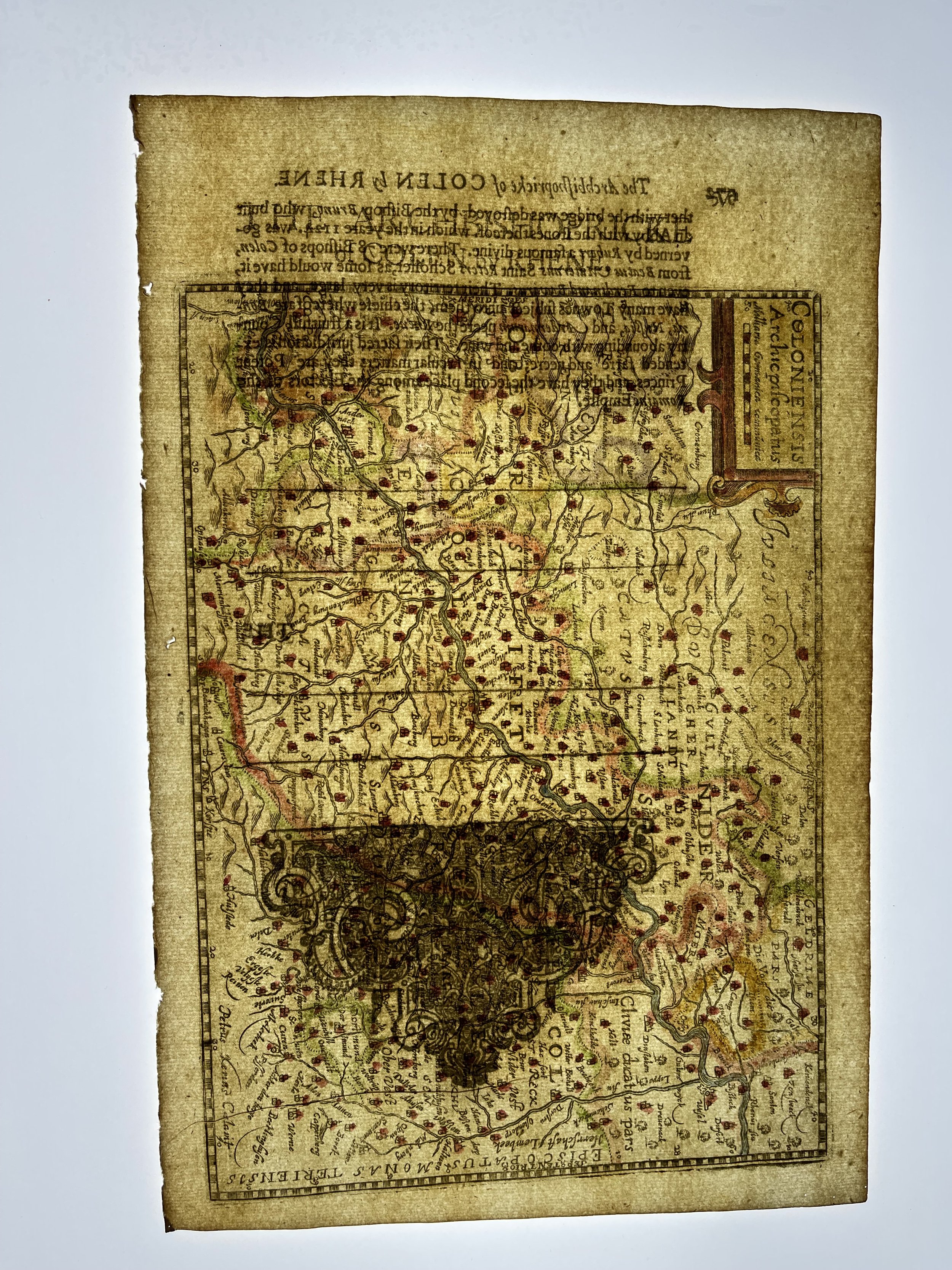 Image 6 of 7
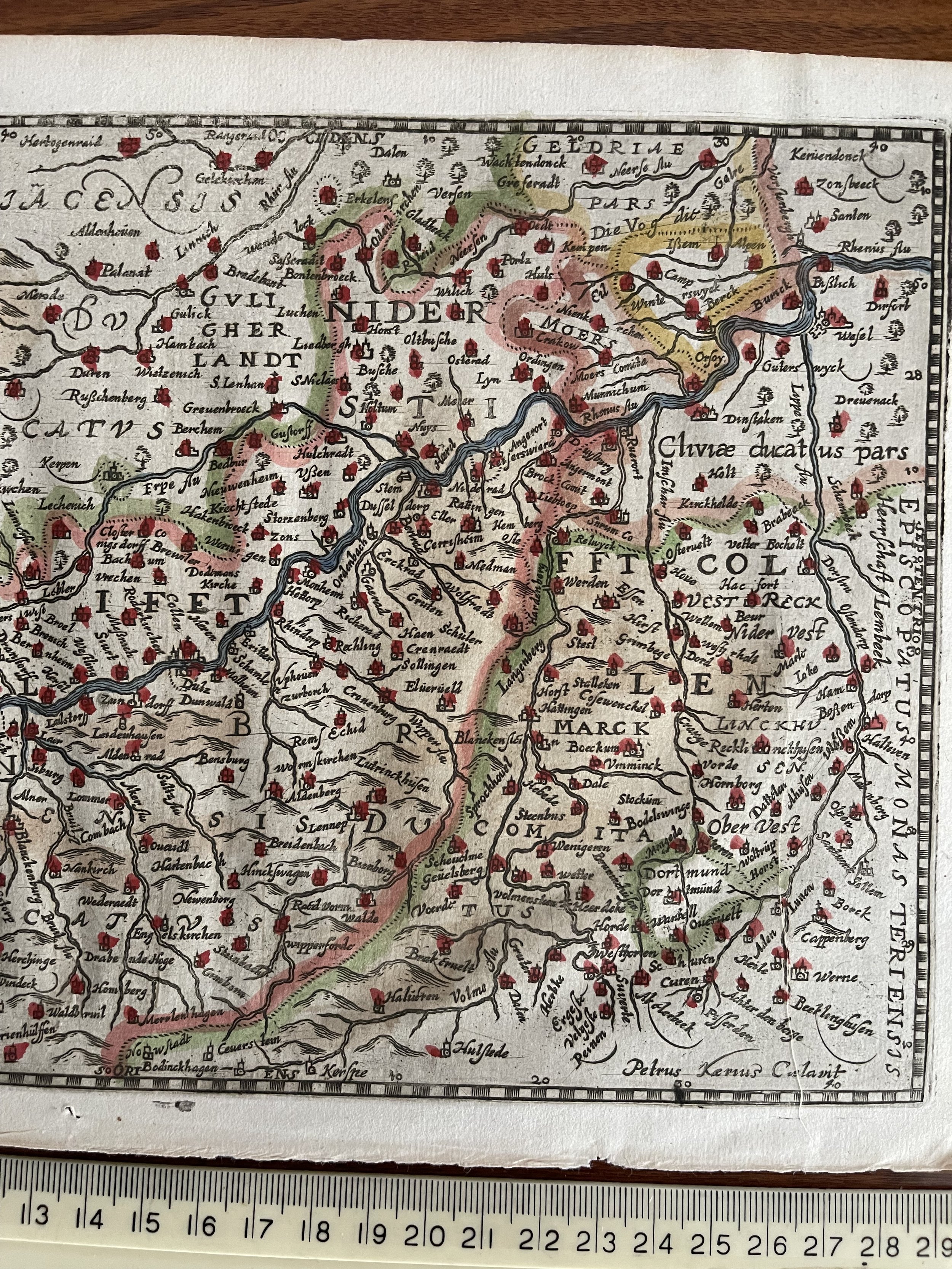 Image 7 of 7