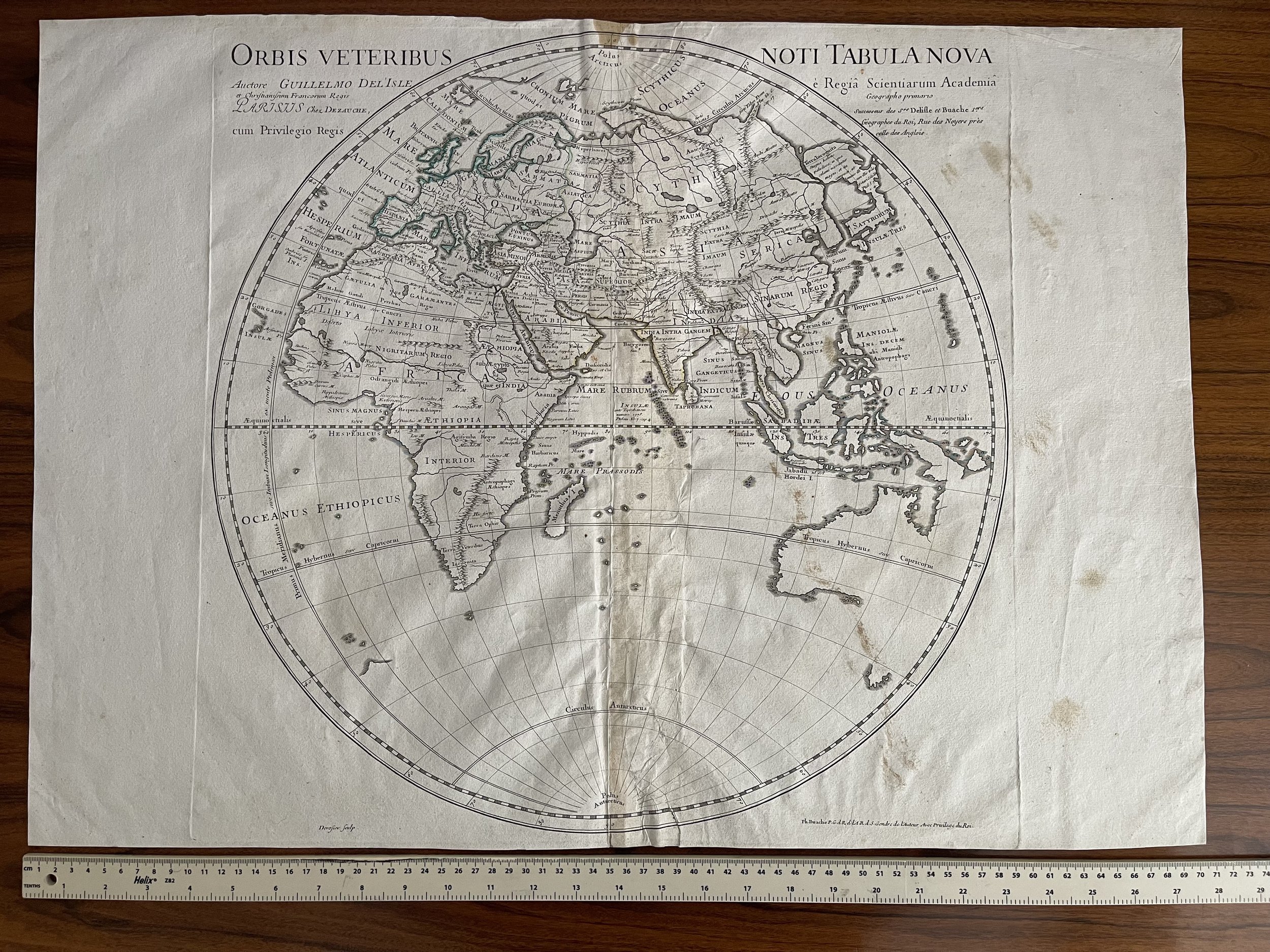
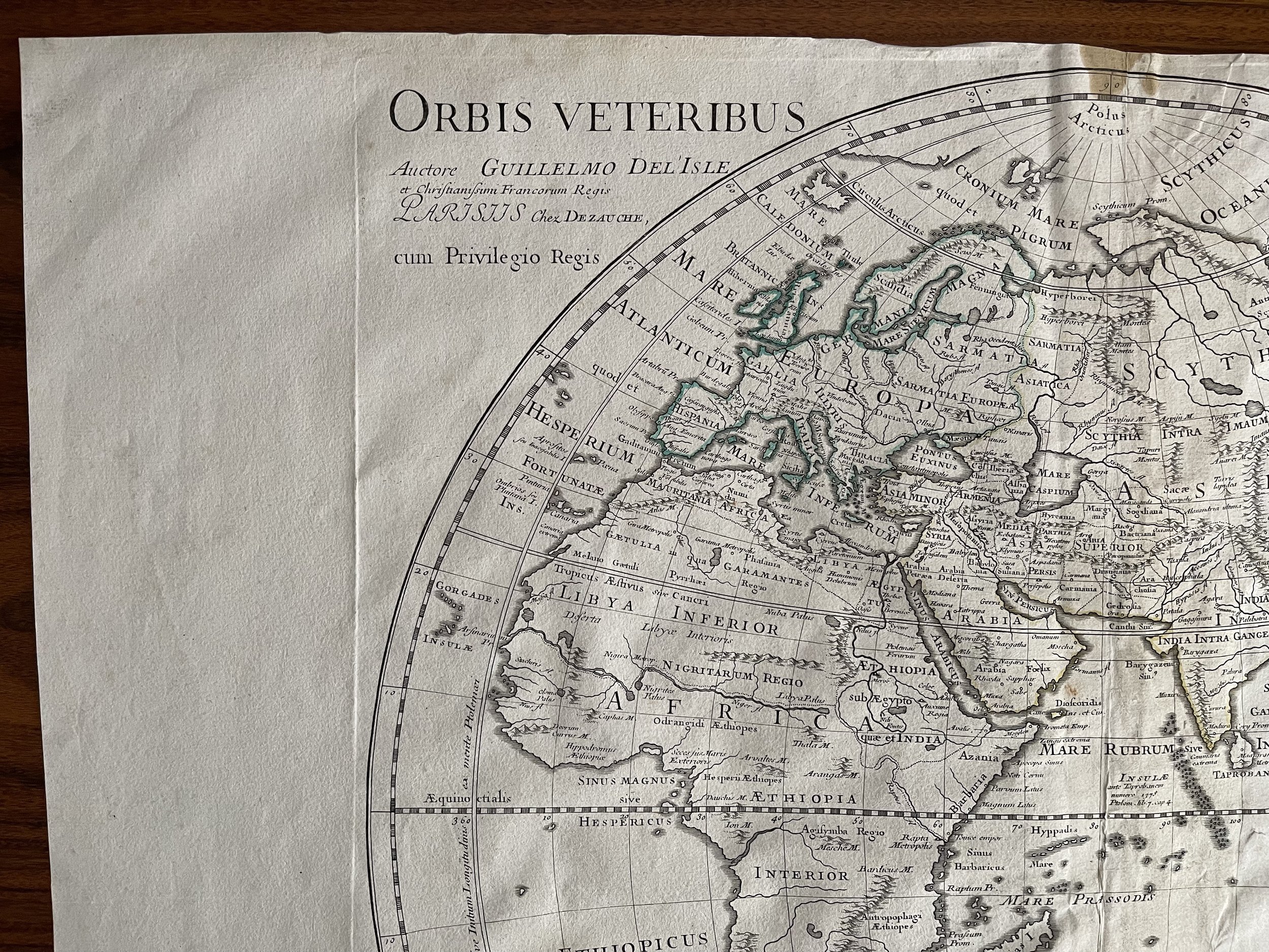
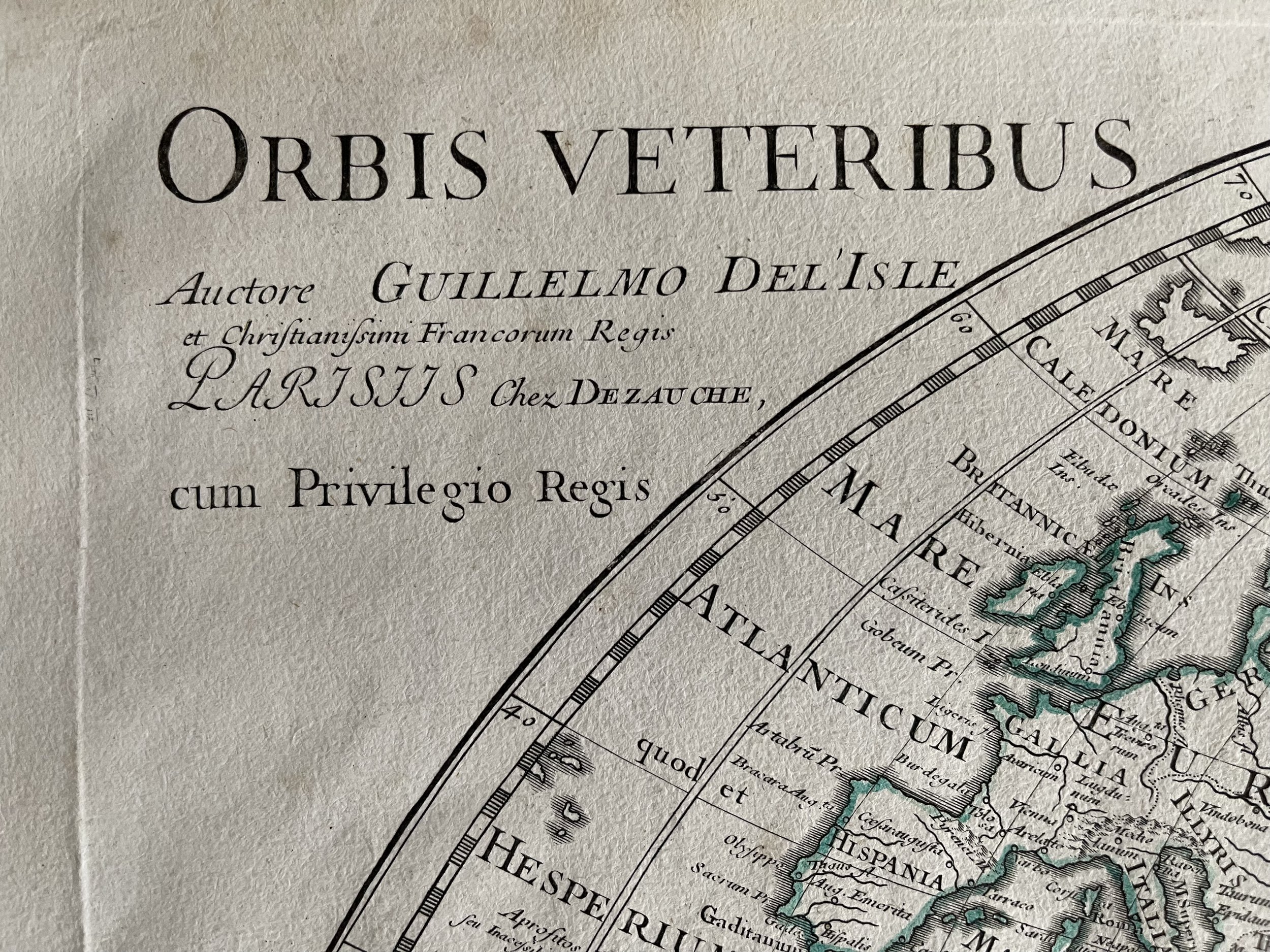
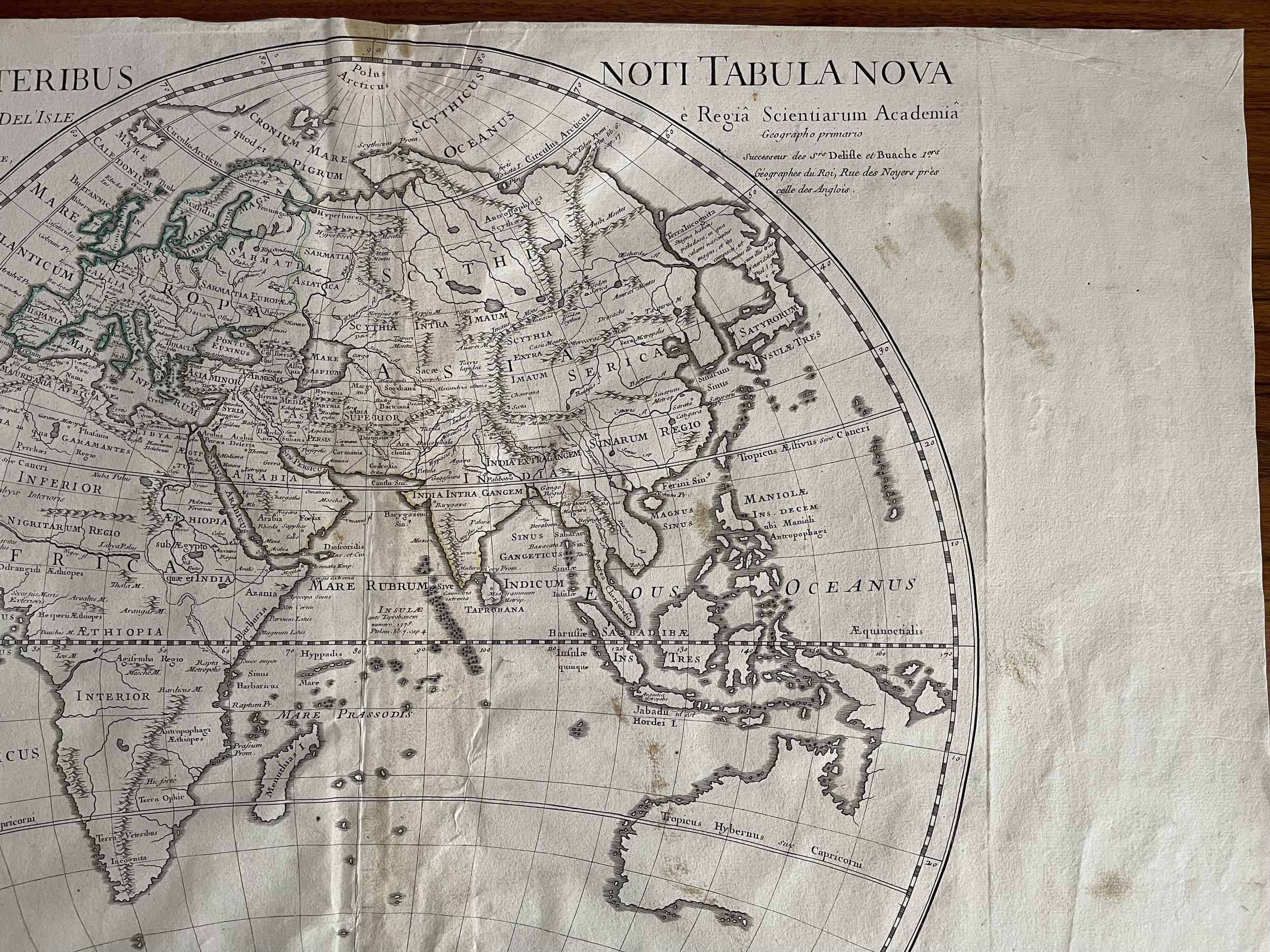
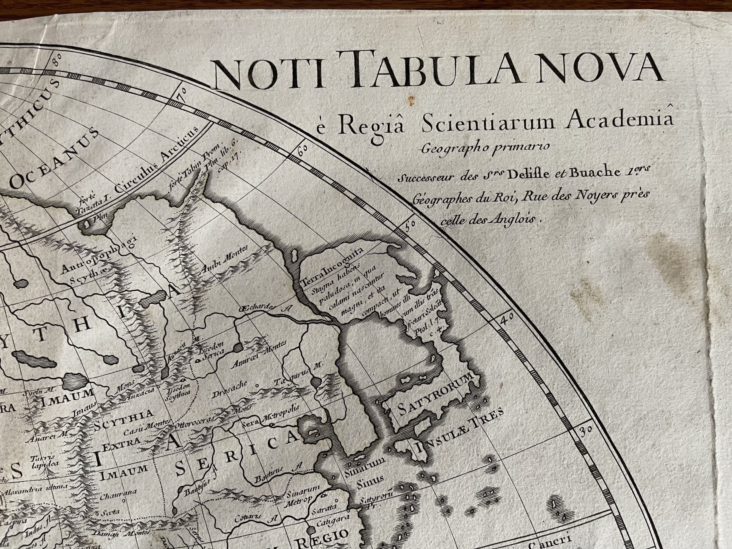
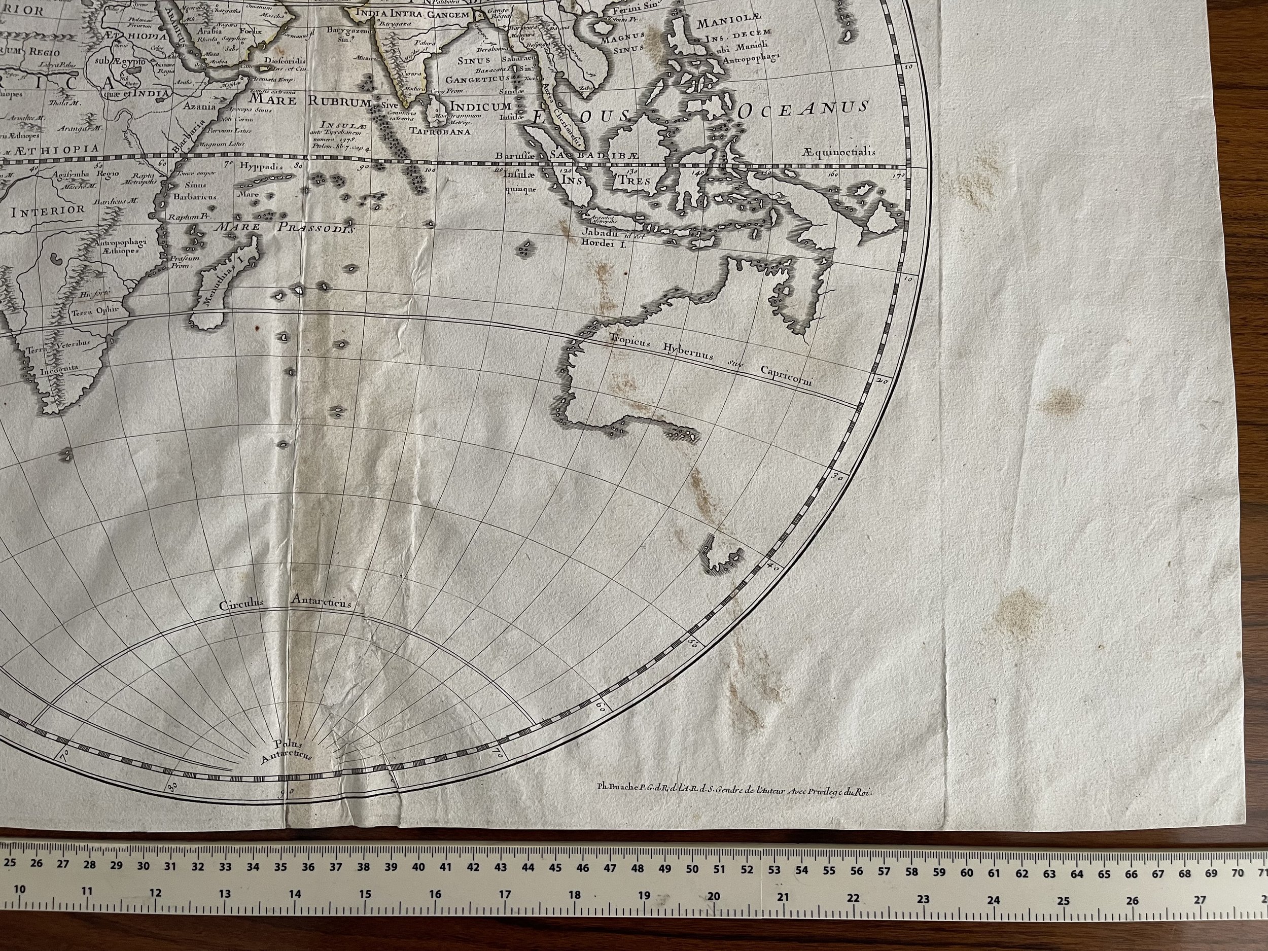
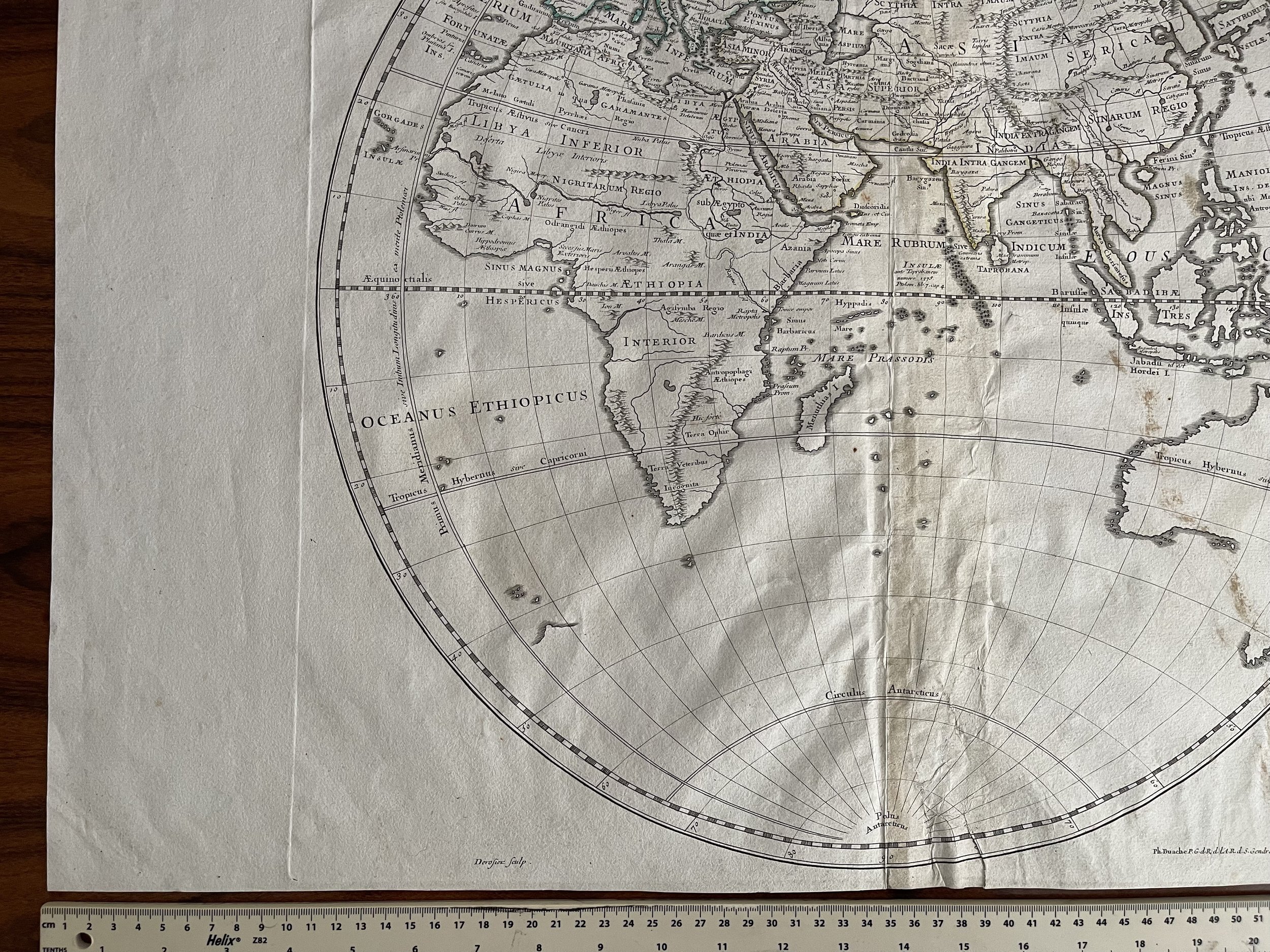
Large Map of the Eastern Hemisphere - Orbis Veteribus Noti Tabula Nova - Guillaume De L'Isle - Paris 1714
Rare detailed map of the Eastern Hemisphere, published in 1714 by Guillaume De L'Isle .
The map shows an incomplete Australian Coastline and early cartographic details in the Southern part of the hemisphere.
Guillaume De L'Isle (1675-1726) is probably the greatest figure in French cartography. Having learned geography from his father Claude, by the age of eight or nine he could draw maps to demonstrate ancient history. He studied mathematics and astronomy under Cassini, from whom he received a superb grounding in scientific cartography—the hallmark of his work. His first atlas was published in ca. 1700. In 1702 he was elected a member of the Academie Royale des Sciences and in 1718 he became Premier Geographe du Roi.
De L'Isle's work was important as marking a transition from the maps of the Dutch school, which were highly decorative and artistically-orientated, to a more scientific approach. He reduced the importance given to the decorative elements in maps, and emphasized the scientific base on which they were constructed. His maps of the newly explored parts of the world reflect the most up-to-date information available and did not contain fanciful detail in the absence of solid information. It can be fairly said that he was truly the father of the modern school of cartography at the commercial level.
De L’Isle also played a prominent part in the recalculation of latitude and longitude, based on the most recent celestial observations. His major contribution was in collating and incorporating this latitudinal and longitudinal information in his maps, setting a new standard of accuracy, quickly followed by many of his contemporaries. Guillaume De L’Isle’s work was widely copied by other mapmakers of the period, including Chatelain, Covens & Mortier, and Albrizzi.
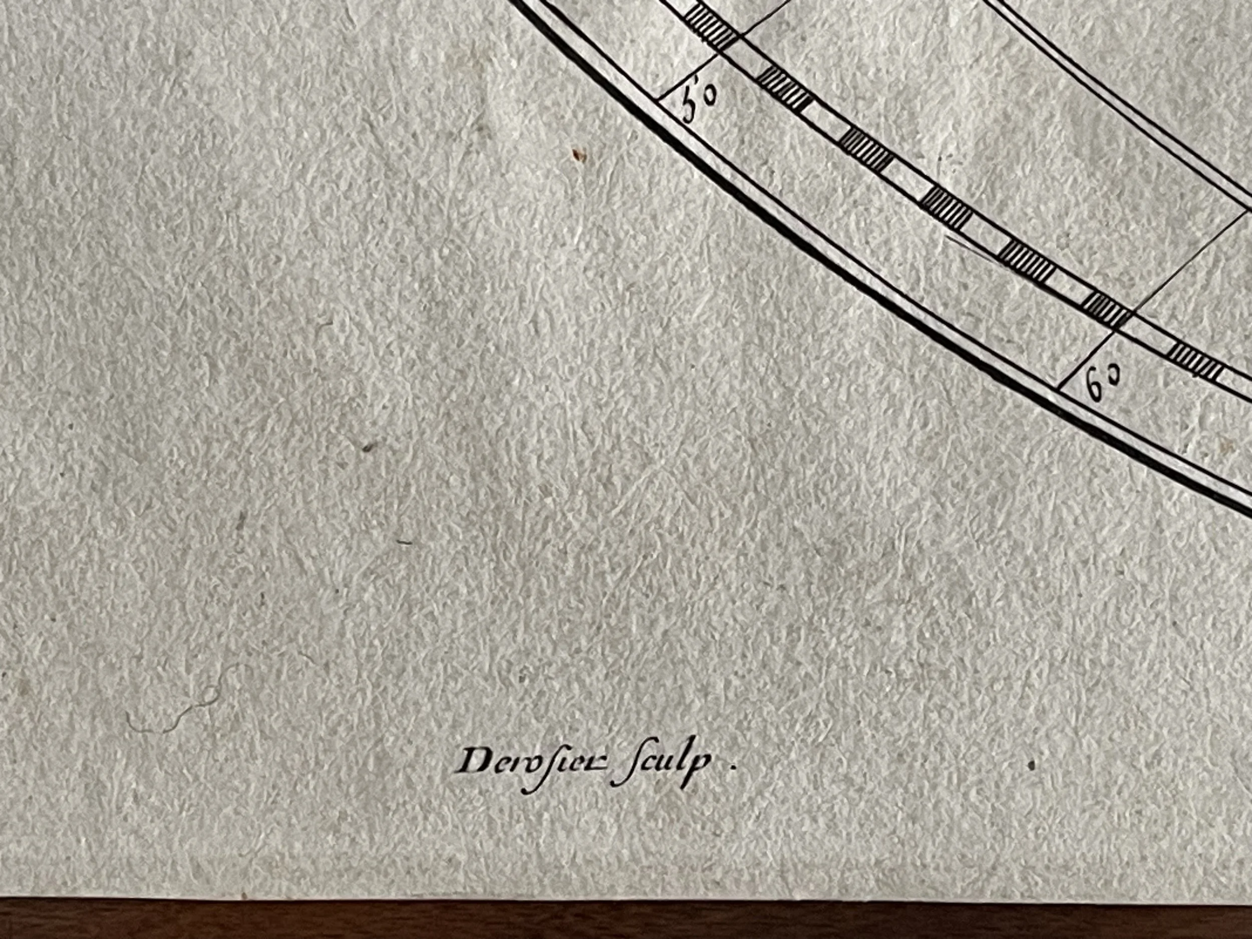
Some foxing / colour staining present mostly in the borders. One foxing spot upper centre - see photo - generally in good condition otherwise.
Rare detailed map of the Eastern Hemisphere, published in 1714 by Guillaume De L'Isle .
The map shows an incomplete Australian Coastline and early cartographic details in the Southern part of the hemisphere.
Guillaume De L'Isle (1675-1726) is probably the greatest figure in French cartography. Having learned geography from his father Claude, by the age of eight or nine he could draw maps to demonstrate ancient history. He studied mathematics and astronomy under Cassini, from whom he received a superb grounding in scientific cartography—the hallmark of his work. His first atlas was published in ca. 1700. In 1702 he was elected a member of the Academie Royale des Sciences and in 1718 he became Premier Geographe du Roi.
De L'Isle's work was important as marking a transition from the maps of the Dutch school, which were highly decorative and artistically-orientated, to a more scientific approach. He reduced the importance given to the decorative elements in maps, and emphasized the scientific base on which they were constructed. His maps of the newly explored parts of the world reflect the most up-to-date information available and did not contain fanciful detail in the absence of solid information. It can be fairly said that he was truly the father of the modern school of cartography at the commercial level.
De L’Isle also played a prominent part in the recalculation of latitude and longitude, based on the most recent celestial observations. His major contribution was in collating and incorporating this latitudinal and longitudinal information in his maps, setting a new standard of accuracy, quickly followed by many of his contemporaries. Guillaume De L’Isle’s work was widely copied by other mapmakers of the period, including Chatelain, Covens & Mortier, and Albrizzi.
Some foxing / colour staining present mostly in the borders. One foxing spot upper centre - see photo - generally in good condition otherwise.
Code : A319
Cartographer : Cartographer / Engraver / Publisher: Guillaume De L'Isle
Date : Publication Place / Date - Paris / 1714 Approx
Size : Sheet size: Image Size: Image Dimensions 18 x 18 inches
Availability : Available
Type - Genuine Antique
Grading - A-
Tracked postage, in tubular casement. Please contact me for postal quotation outside of the UK.