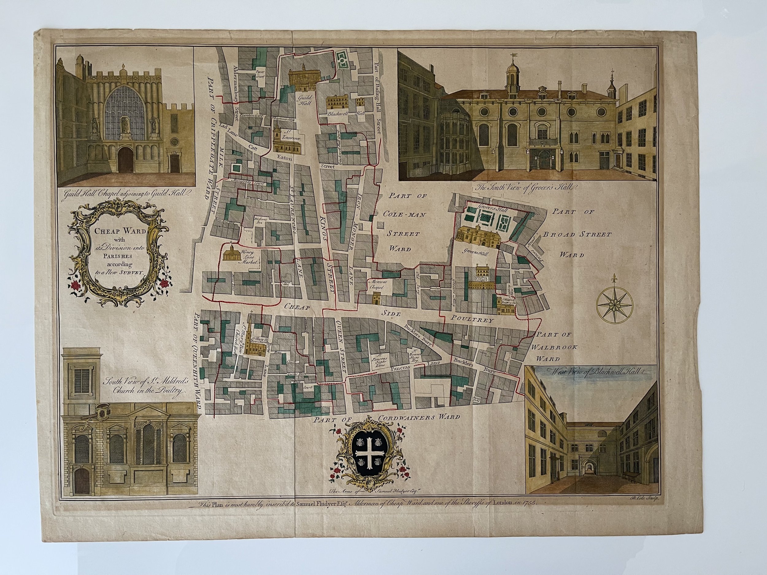
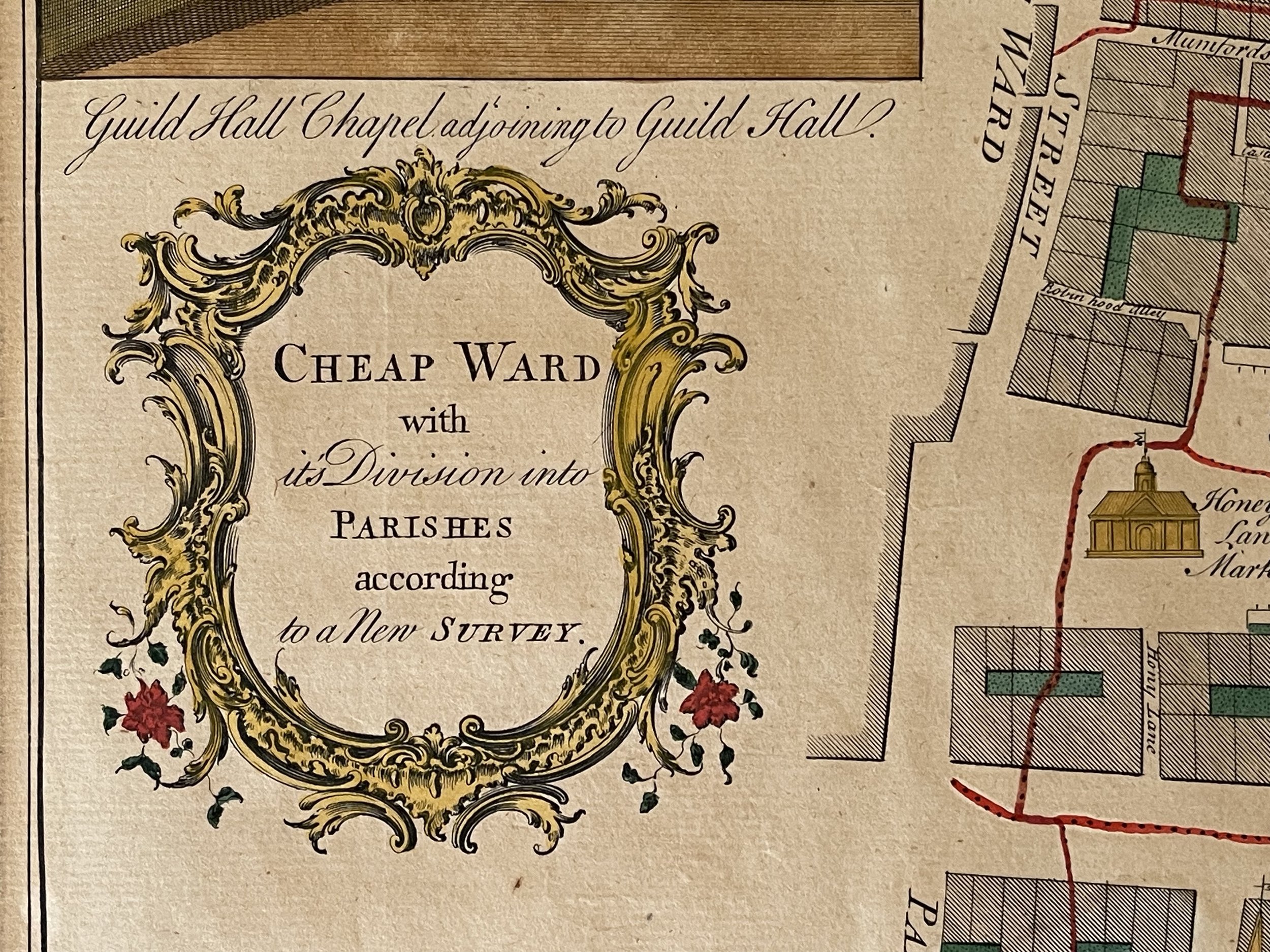


London Cheap Ward with parishes - Benjamin Cole - 1754
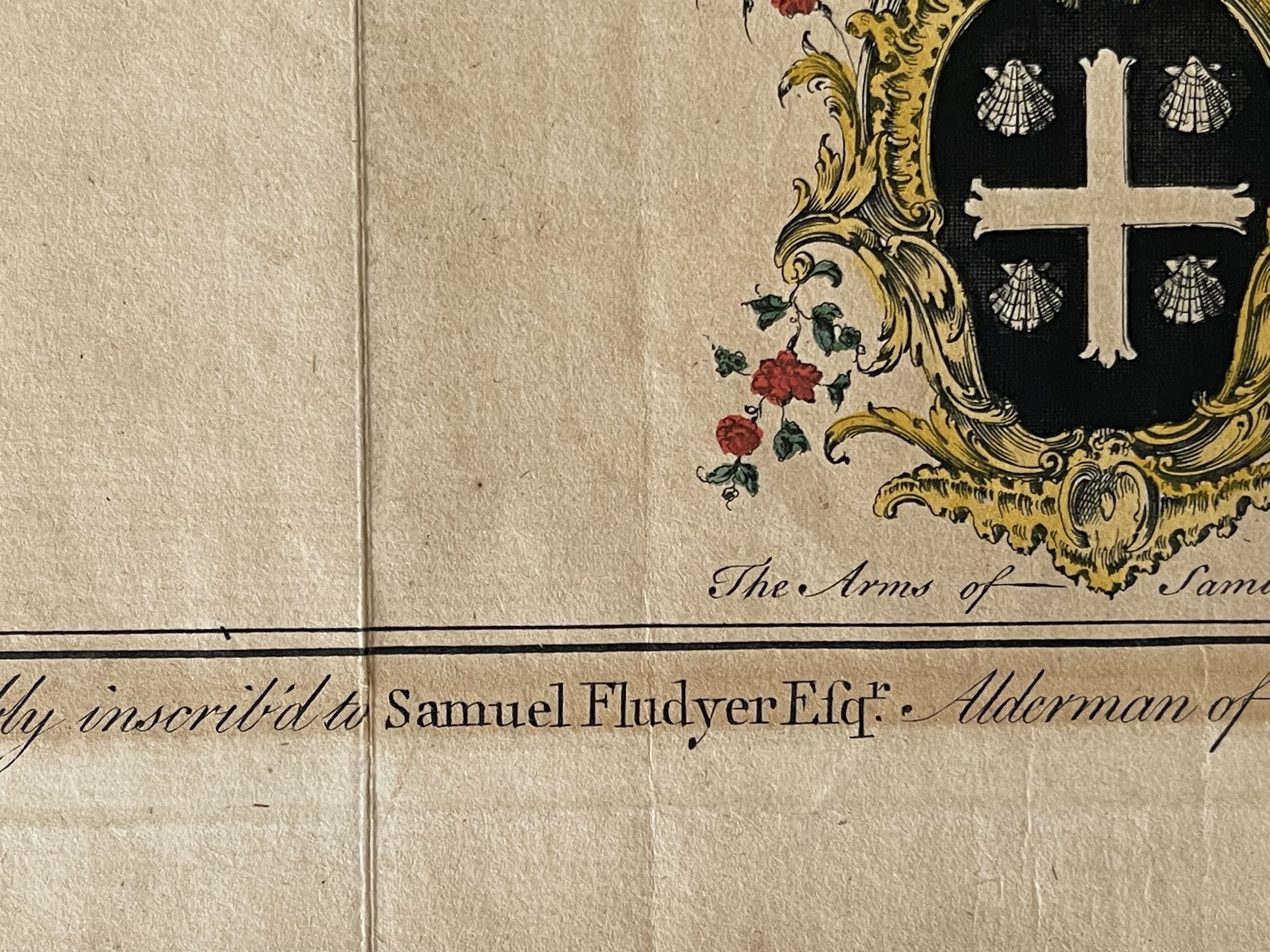
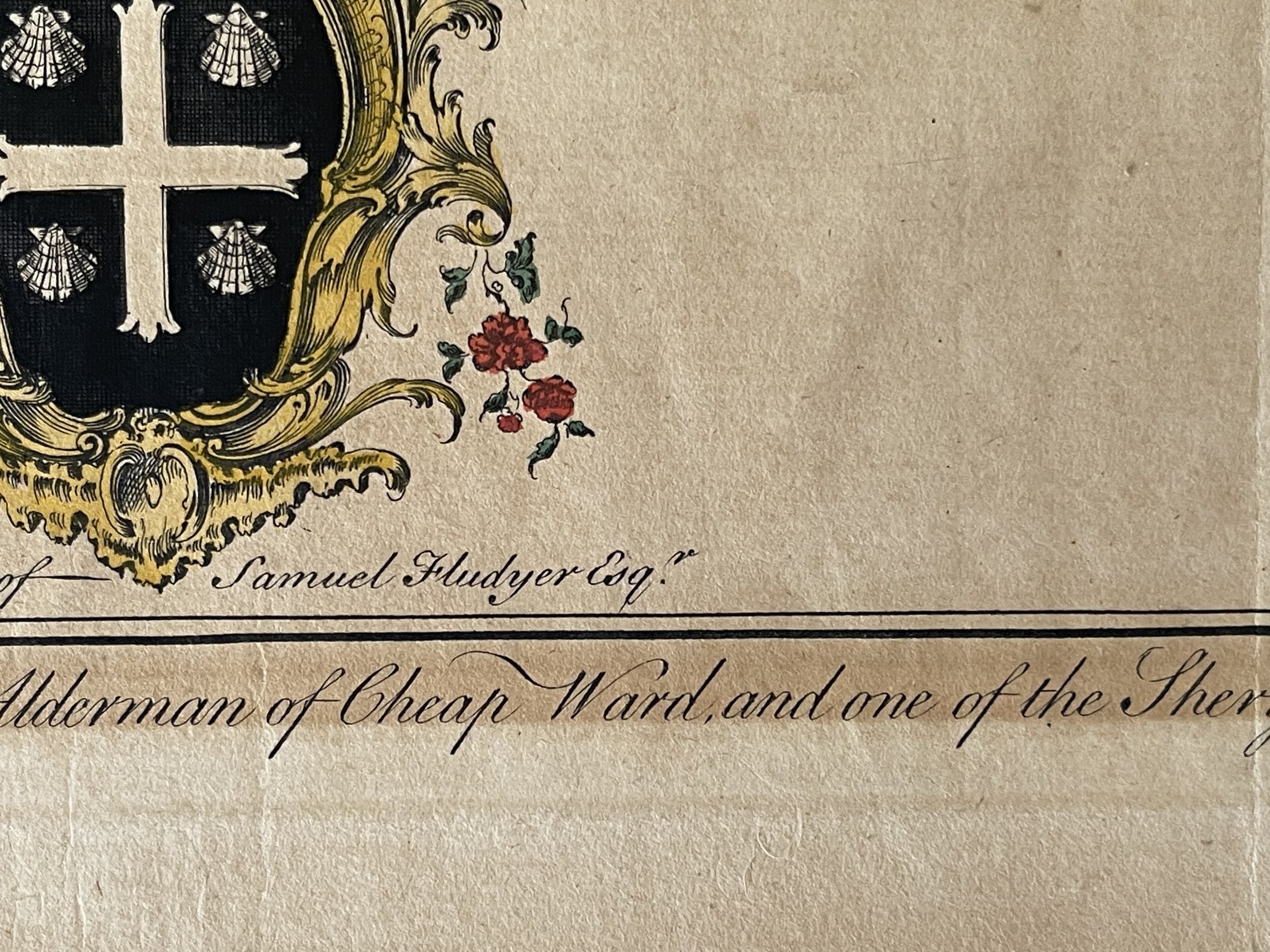
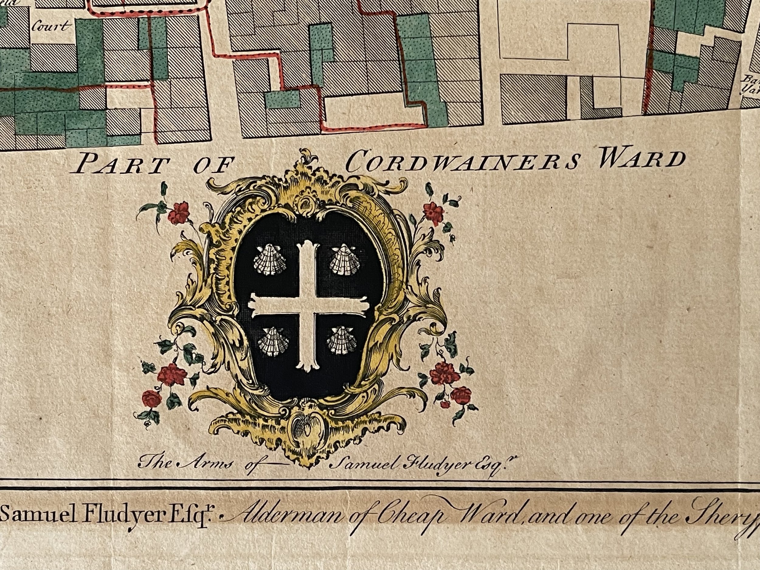
A lovely plan of this part of London, with key buildings drawn in small scale onto the map. Dedicated by an inscription running along the bottom to Samuel Fludyer Esq.r., whose coat of arms is at centre bottom. Title in decorative cartouche to left and compass rose to right. Lovely vignette views in each corner of: 'Guild Hall Chapel adjoining to Guild Hall', 'The South View of Grocer's Hall', 'South View of St. Mildred's Church in the Poultry' and 'West View of Blackwell Hall'. Maitland's History and Survey of London.
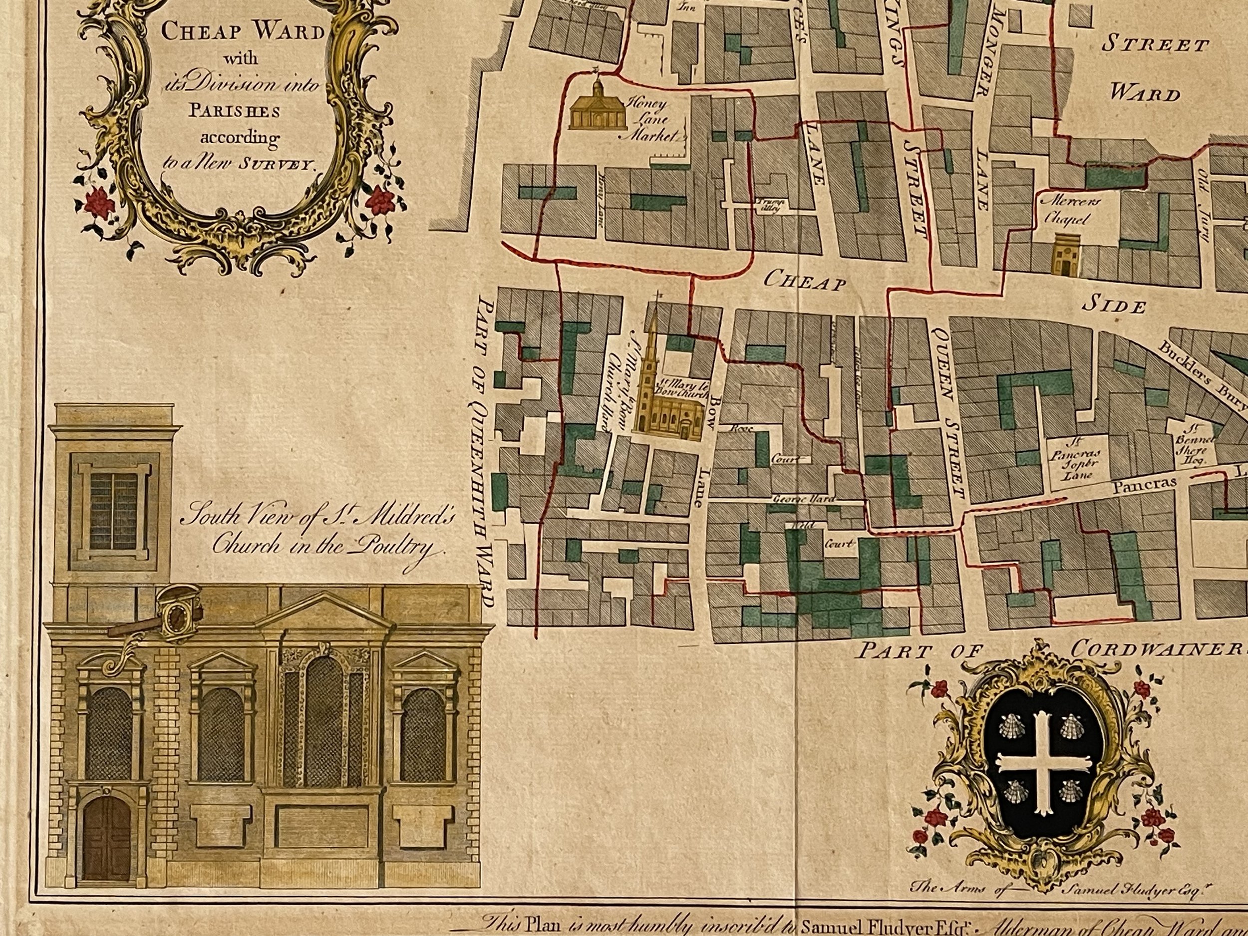
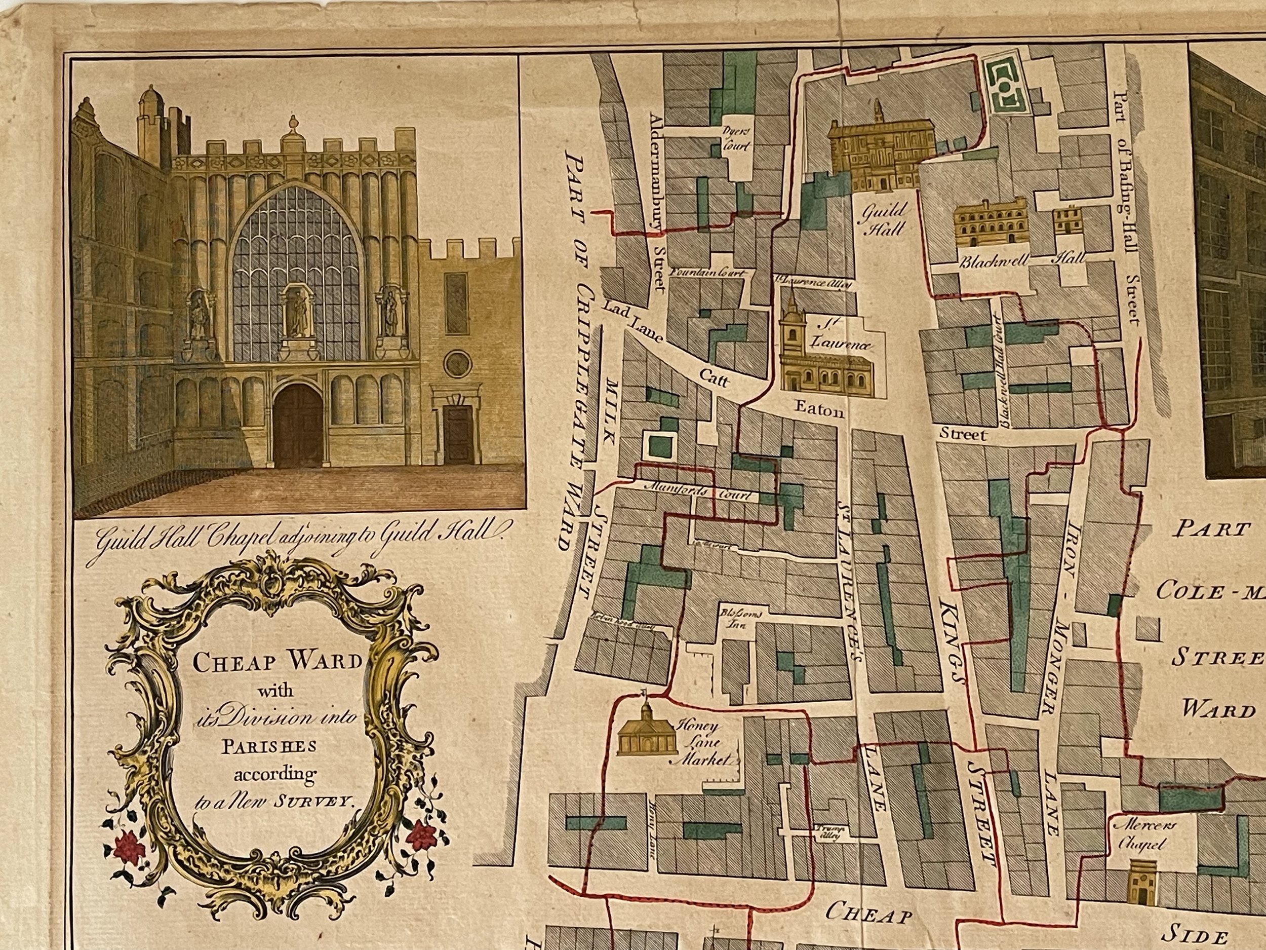
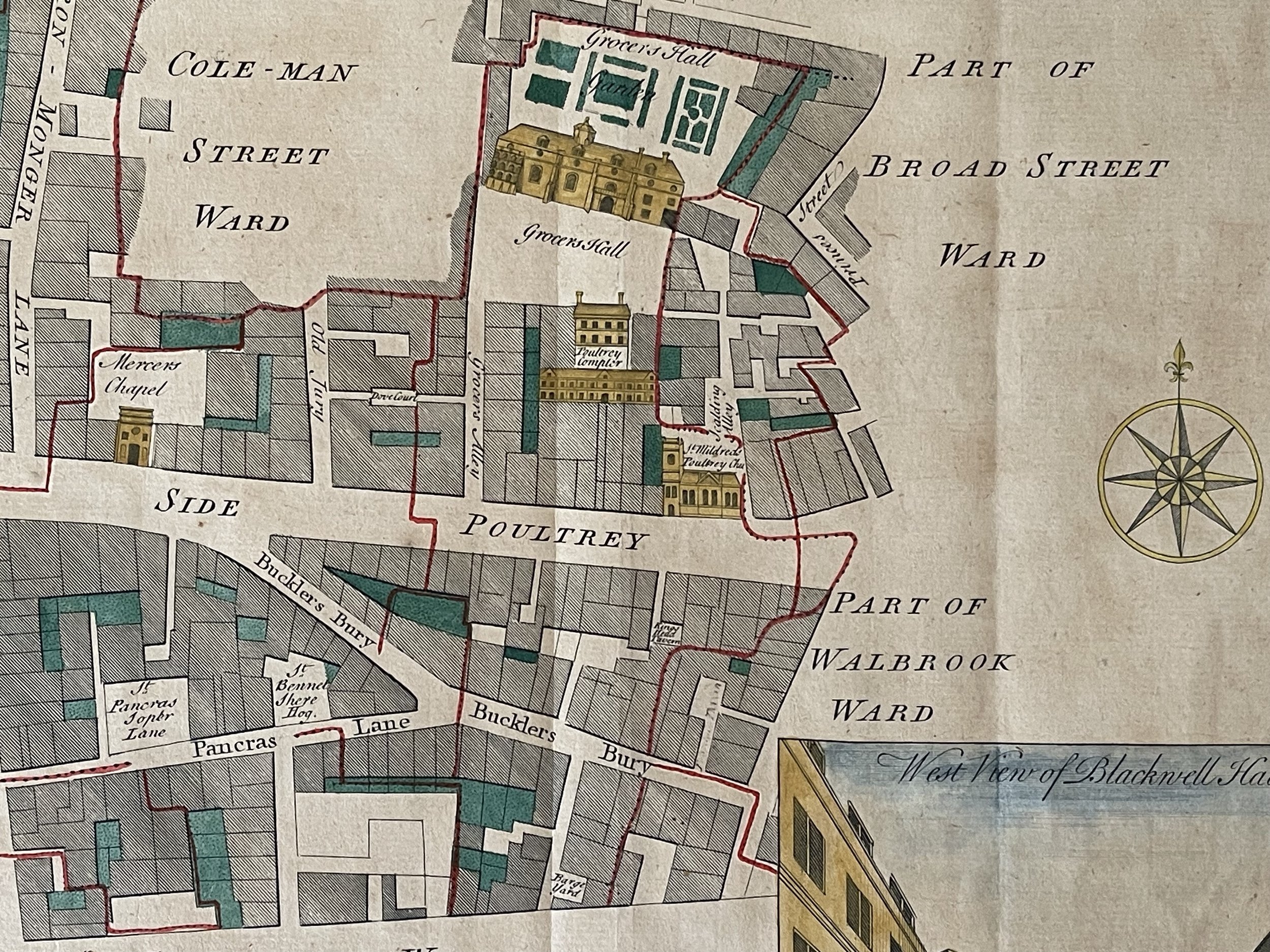
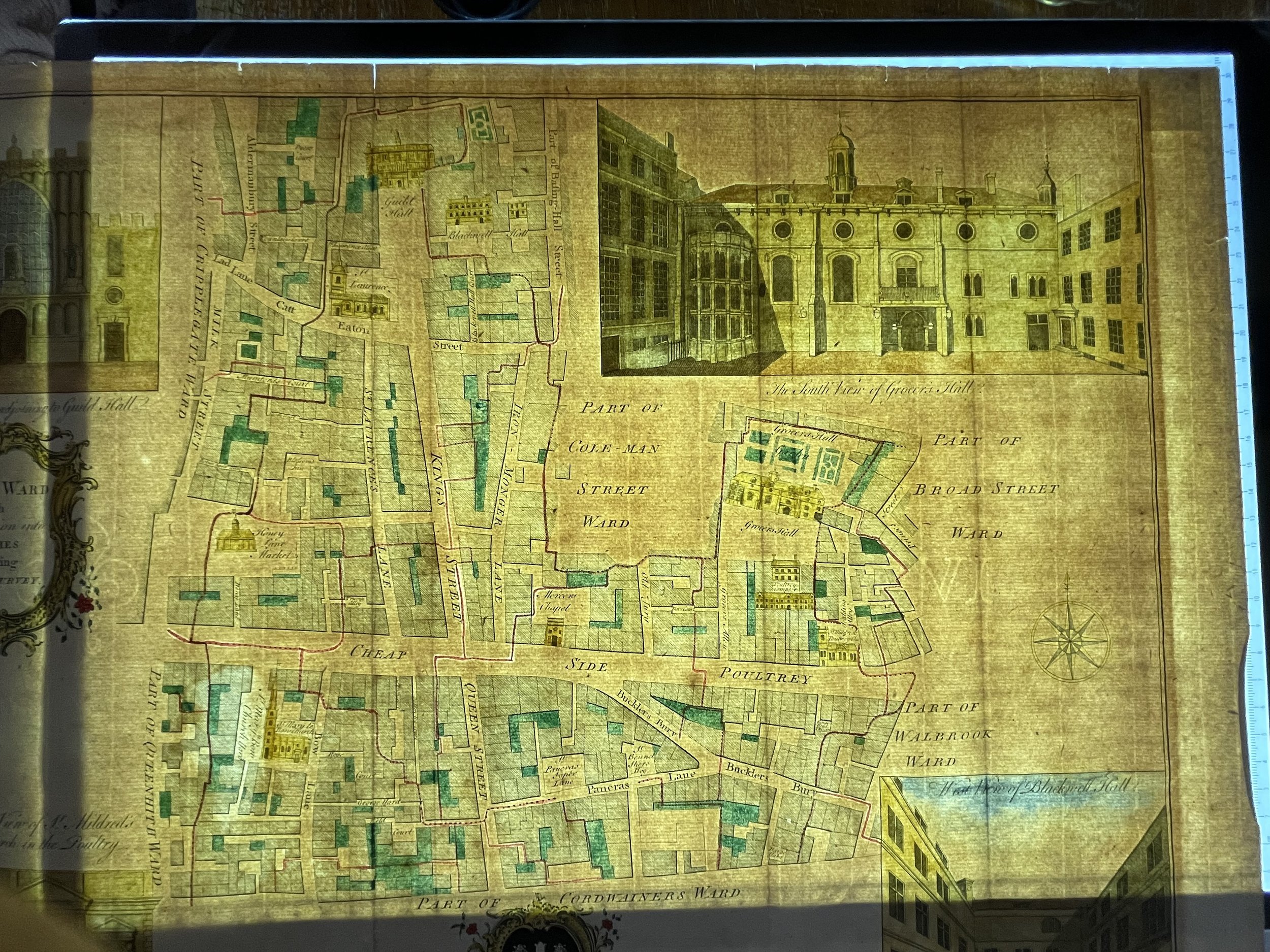
This is a beautiful map of the Cheap Ward in London, England by Benjamin Cole. The map covers Cheap (from the Old English word meaning 'market') Ward in the City of London from Milk Street east to Prince's Street and from Guildhall south as far as Queen Victoria Street. Cole identifies various important buildings in profile, many of which still exist, including Guildhall, Blackwell Hall, St. Mary le Bow Church, Mercers Chapel, etc. Guildhall, build in 1440, is the only non-Church building that has survived to this day. Once used a town hall, it is still an administrative and ceremonial center on London.
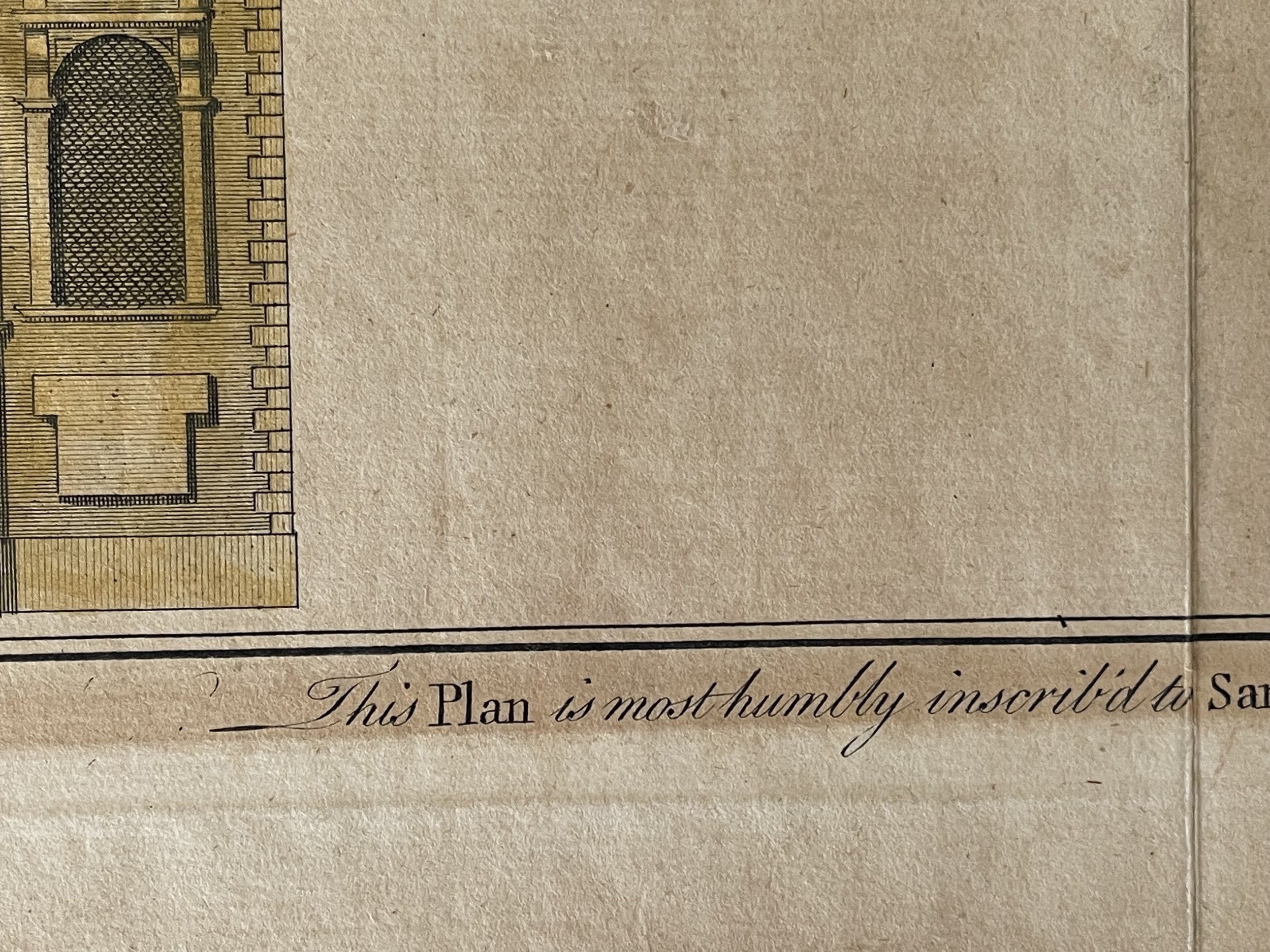
Four illustrated views are included in each quadrant. The top left quadrant features the Guild Hall Chapel adjoining to Guild Hall, the top right quadrant features the South View of Grocer's Hall, the lower right quadrant features the West view of Blackwell Hall and the lower left quadrant includes the South view of St. Mildred's Church in the Poultry. A decorative title cartouche adorns the left of the map while coat of arms of Samuel Fludyer Esqr., to whom this map is dedicated to, appears along the bottom margin with the inscription 'This Plan is most humbly inscribed to Samuel Fludyer Esqr. Alderman of Cheap Ward and one of the Sheriffs of London in 1755.'
This map was derived from earlier plans by John Strype with the illustrations based on West and Tow's 1736 Prospect Views of Ancient Churches. This map was created by Benjamin Cole and issued as part of William Maitland's History of London from its Foundation to the Present time.
Working through the eighteenth century, Benjamin Cole was a well-known English engraver, illustrator and map seller. He began as an apprentice in 1739, to his father (also Benjamin), a renowned instrument maker. He went on to draw and engrave the London ward maps for the first edition of William Maitland's History of London from Its Foundation to the Present Time (1769), having already provided them John Entick's New and Accurate History and Survey of London (1766).
These same plates were also used for Thornton's New & Complete History & Survey of London & Westminster, published between 1775-1780. He also engraved maps for some of French map-maker John Rocque’s published works. In 1728-9, given his connections to freemasonry, Cole published a spectacular engraved edition of the historic masonic charters and manuscripts, Old Charges, with various masonic songs and speeches.
He later published a separate collection of masonic songs and engraved the frontispiece of the 1756 Book of Constitutions. In 1743, Cole took over the production of the engraved lists from John Pine, continuing their publication until 1767, when the responsibility passed to his brother, William. Benjamin Cole also illustrated children’s books and military manuals, completing a remarkable and varied engraving career. He died in 1813.
Map in very good condition with the odd foxing spot / blemish.
A lovely plan of this part of London, with key buildings drawn in small scale onto the map. Dedicated by an inscription running along the bottom to Samuel Fludyer Esq.r., whose coat of arms is at centre bottom. Title in decorative cartouche to left and compass rose to right. Lovely vignette views in each corner of: 'Guild Hall Chapel adjoining to Guild Hall', 'The South View of Grocer's Hall', 'South View of St. Mildred's Church in the Poultry' and 'West View of Blackwell Hall'. Maitland's History and Survey of London.
This is a beautiful map of the Cheap Ward in London, England by Benjamin Cole. The map covers Cheap (from the Old English word meaning 'market') Ward in the City of London from Milk Street east to Prince's Street and from Guildhall south as far as Queen Victoria Street. Cole identifies various important buildings in profile, many of which still exist, including Guildhall, Blackwell Hall, St. Mary le Bow Church, Mercers Chapel, etc. Guildhall, build in 1440, is the only non-Church building that has survived to this day. Once used a town hall, it is still an administrative and ceremonial center on London.
Four illustrated views are included in each quadrant. The top left quadrant features the Guild Hall Chapel adjoining to Guild Hall, the top right quadrant features the South View of Grocer's Hall, the lower right quadrant features the West view of Blackwell Hall and the lower left quadrant includes the South view of St. Mildred's Church in the Poultry. A decorative title cartouche adorns the left of the map while coat of arms of Samuel Fludyer Esqr., to whom this map is dedicated to, appears along the bottom margin with the inscription 'This Plan is most humbly inscribed to Samuel Fludyer Esqr. Alderman of Cheap Ward and one of the Sheriffs of London in 1755.'
This map was derived from earlier plans by John Strype with the illustrations based on West and Tow's 1736 Prospect Views of Ancient Churches. This map was created by Benjamin Cole and issued as part of William Maitland's History of London from its Foundation to the Present time.
Working through the eighteenth century, Benjamin Cole was a well-known English engraver, illustrator and map seller. He began as an apprentice in 1739, to his father (also Benjamin), a renowned instrument maker. He went on to draw and engrave the London ward maps for the first edition of William Maitland's History of London from Its Foundation to the Present Time (1769), having already provided them John Entick's New and Accurate History and Survey of London (1766).
These same plates were also used for Thornton's New & Complete History & Survey of London & Westminster, published between 1775-1780. He also engraved maps for some of French map-maker John Rocque’s published works. In 1728-9, given his connections to freemasonry, Cole published a spectacular engraved edition of the historic masonic charters and manuscripts, Old Charges, with various masonic songs and speeches.
He later published a separate collection of masonic songs and engraved the frontispiece of the 1756 Book of Constitutions. In 1743, Cole took over the production of the engraved lists from John Pine, continuing their publication until 1767, when the responsibility passed to his brother, William. Benjamin Cole also illustrated children’s books and military manuals, completing a remarkable and varied engraving career. He died in 1813.
Map in very good condition with the odd foxing spot / blemish.
Code : A333
Cartographer : Cartographer / Engraver / Publisher: Benjamin Cole
Date : Publication Place / Date - Circa 1755
Size : Sheet size: Image Size: 18.25 x 14.25 Inches
Availability : Available
Type - Genuine - Antique
Grading A-
Where Applicable - Folds as issued. Light box photo shows the folio leaf centre margin hinge ‘glue’, this is not visible otherwise.
Tracked postage, in casement. Please contact me for postal quotation outside of the UK.