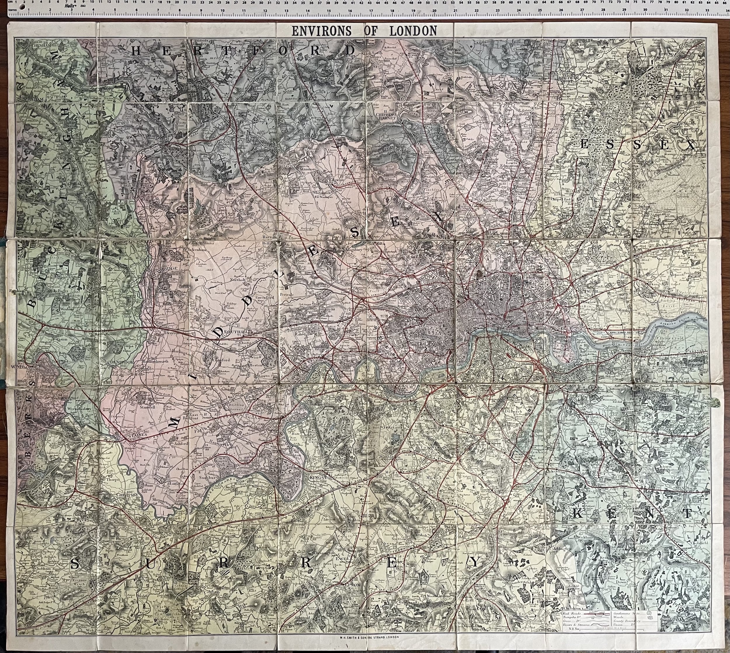
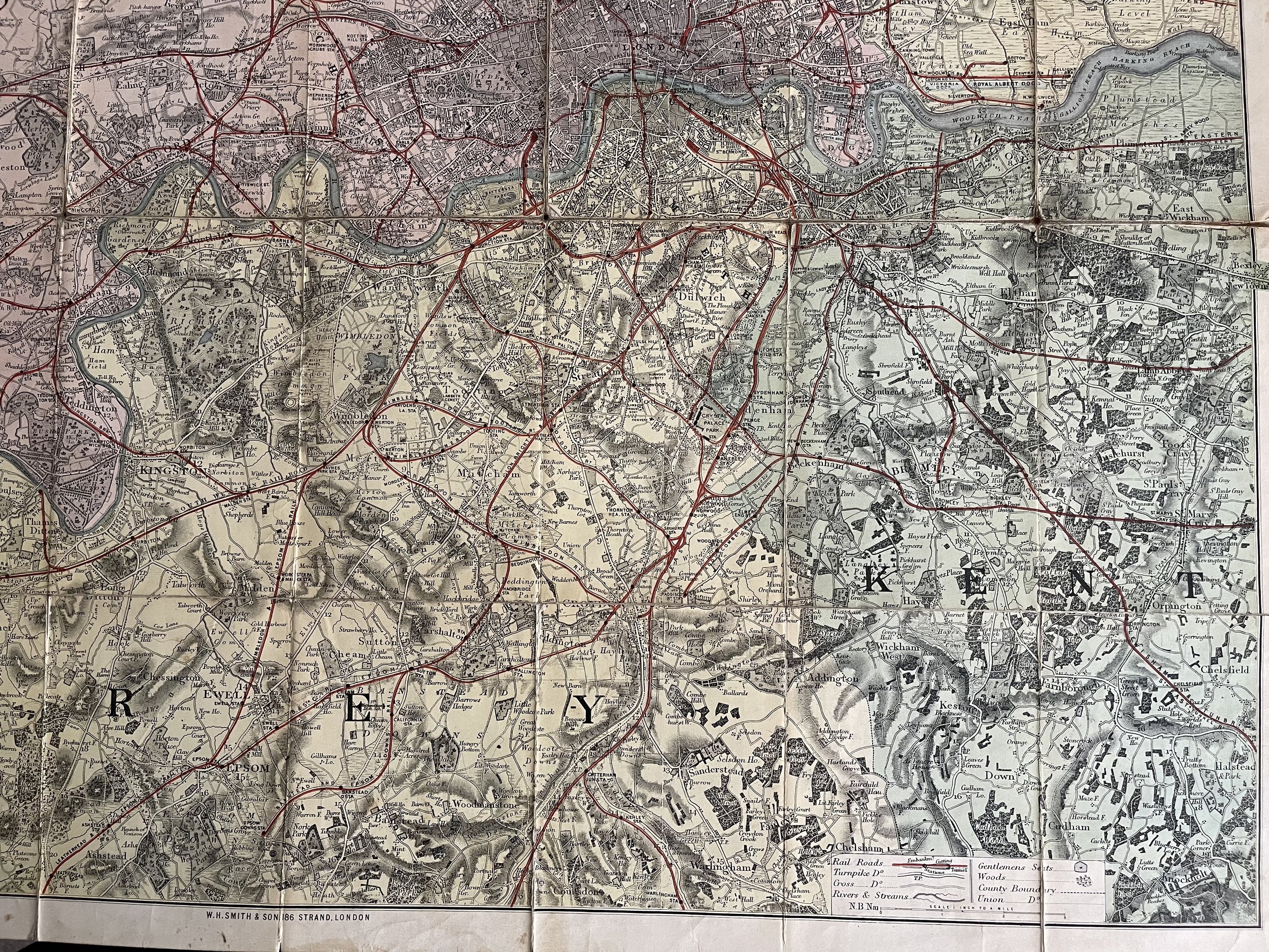
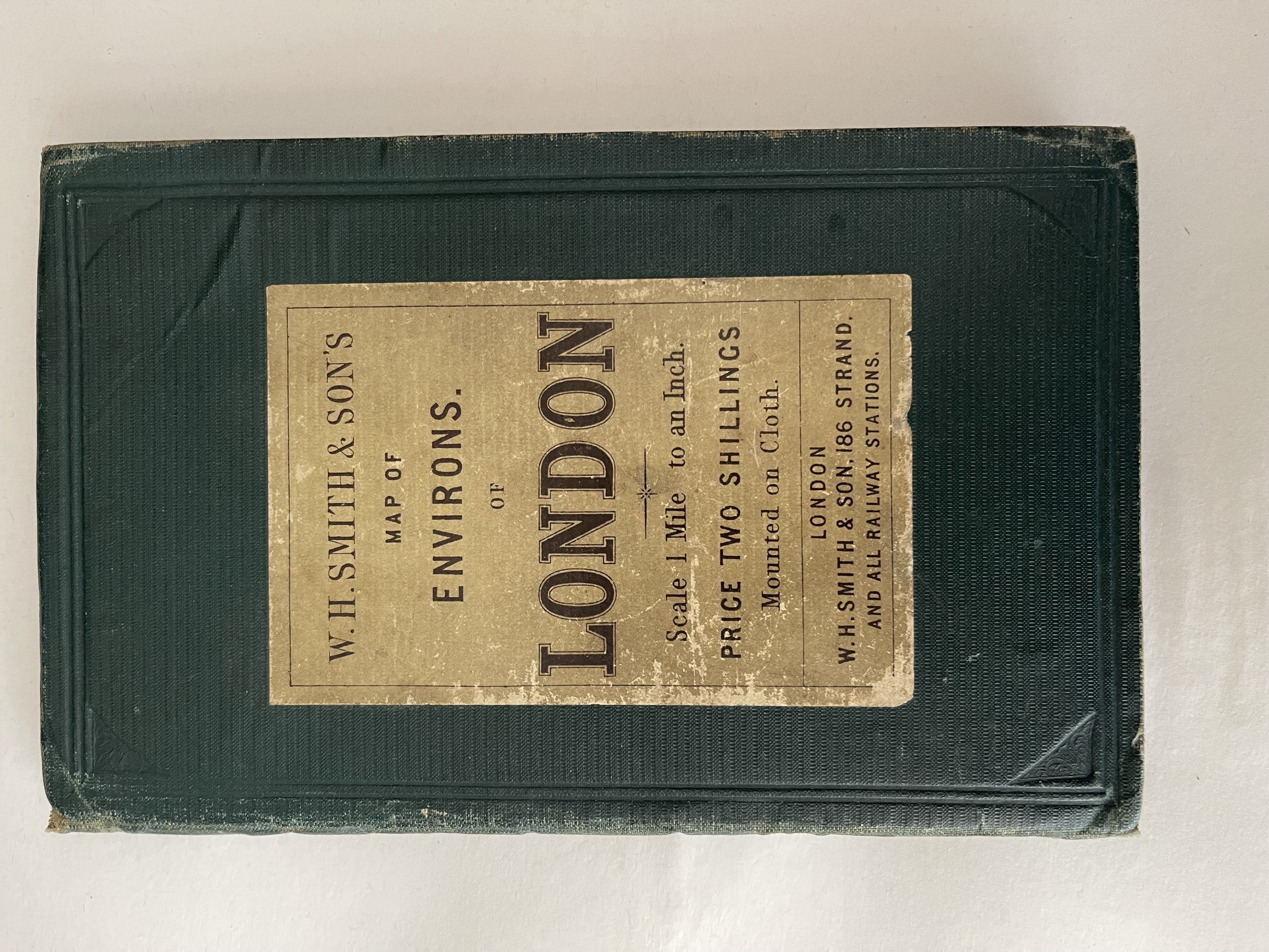
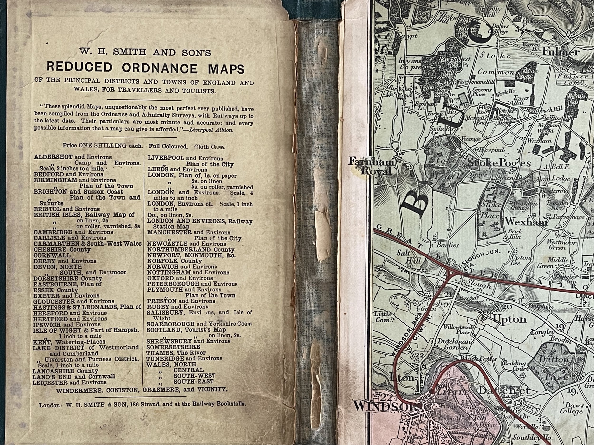
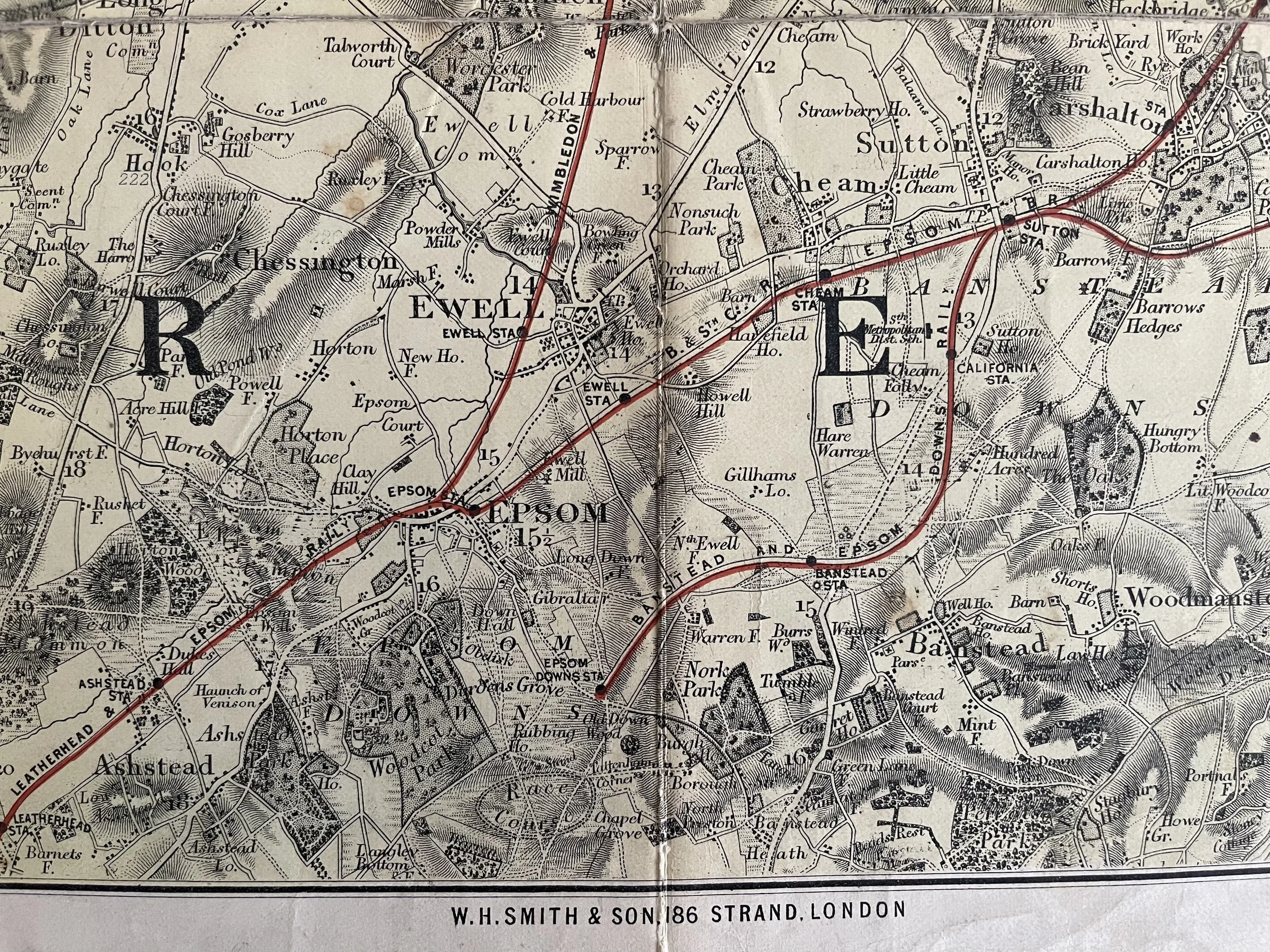
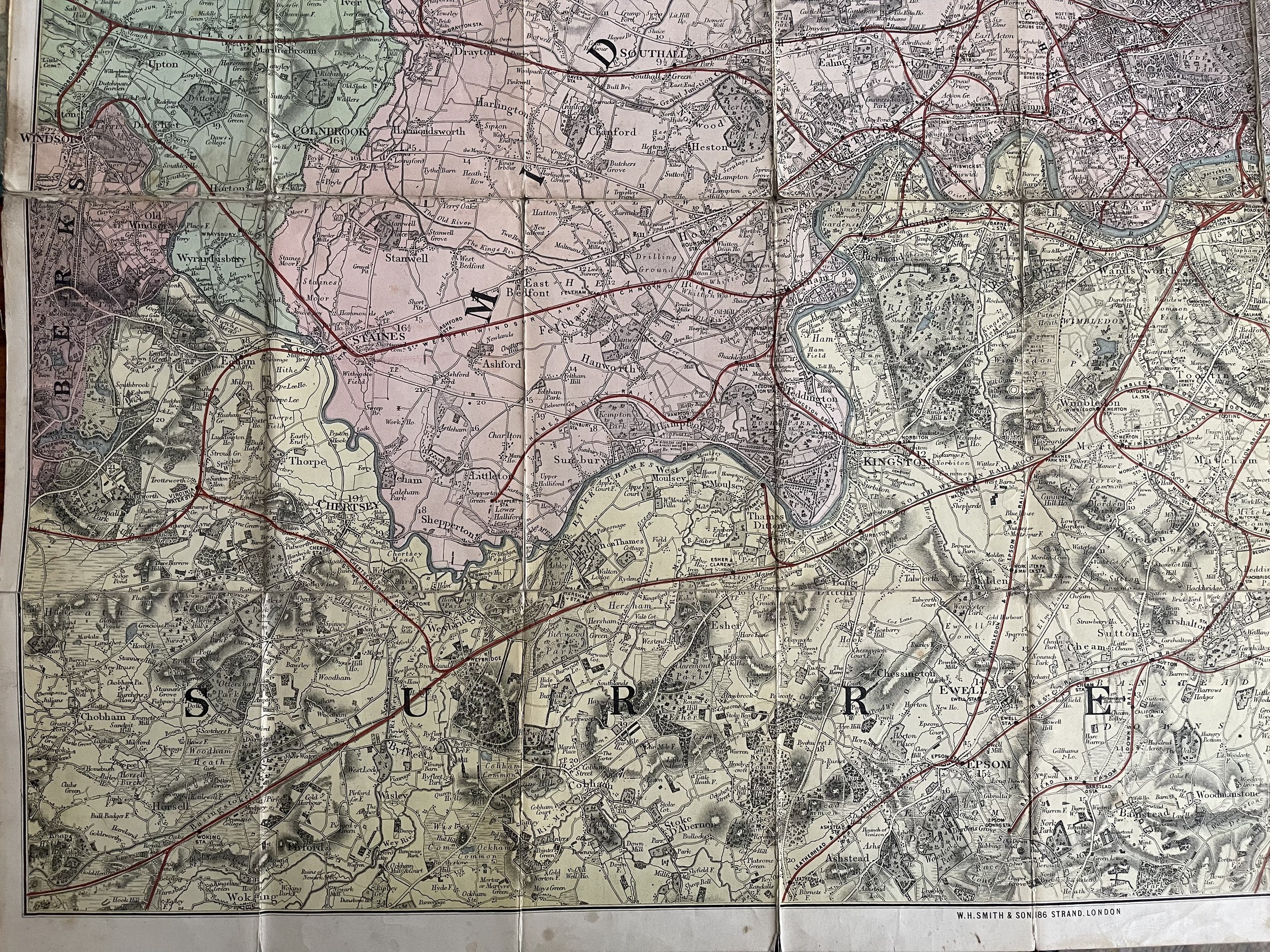
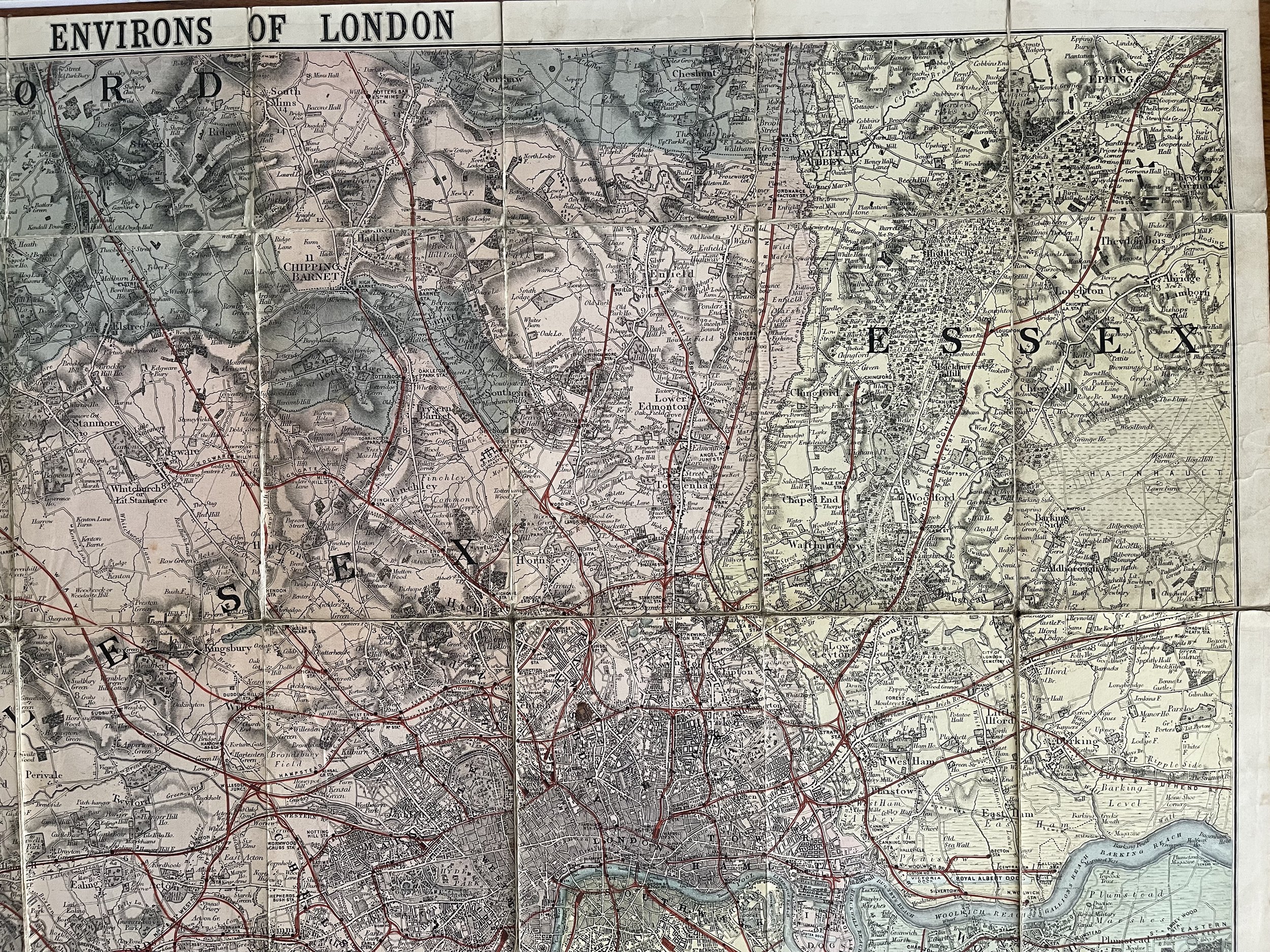
London Environs Map - W.H.Smith & Sons - 1880
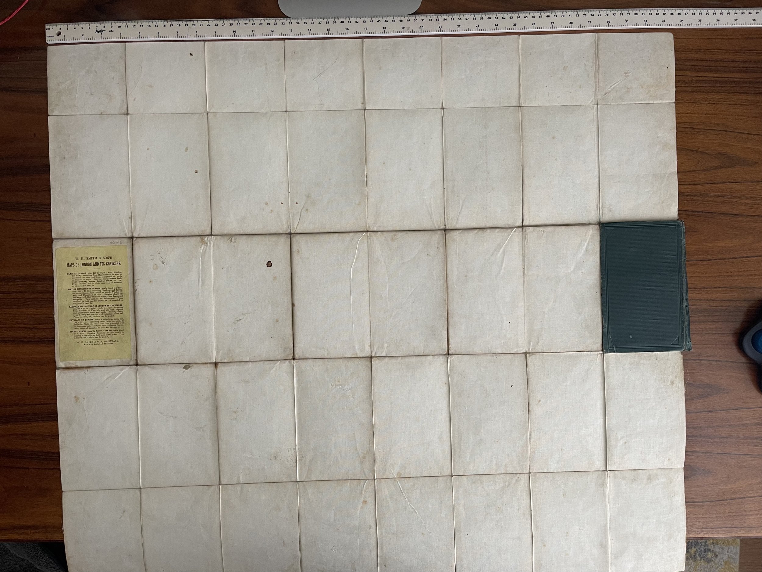
Beautiful Map of the environs of london, linen backed and in very good condition with no tears to the seams.
Smith, Charles (1768 - Smith (1768 - 1854) was 19th century British publisher of maps, atlases, and charts, most of which focused on England and London. Smith was appointed map seller to the Prince of Wales in 1809. His early work stylistically resembles the work of Pinkerton, Cary, and Thomson, though on a much smaller scale. From 1826 to 1854 the business traded as Charles Smith and Son. After Charles Smith's death in 1852 it was taken over by his son William Smith, and later his grandson Guildford Smith (1838 - 1917), who continued to publish maps well into the 20th century.
Code : A859
Cartographer : Cartographer / Engraver / Publisher: W H Smith
Date : Publication Place / Date - 1880 approx
Size : Sheet size: Image Size: 85 X 85 cm
Availability : Available
Type - Genuine - Antique
Grading A
Where Applicable - Folds as issued. Light box photo shows the folio leaf centre margin hinge ‘glue’, this is not visible otherwise.
Tracked postage, in casement. Please contact me for postal quotation outside of the UK.
