London & the Thames - Plan des Ville de Londres et de Westminster et leurs faubourgs - Nicholas De Fer - 1705 - Very Rare
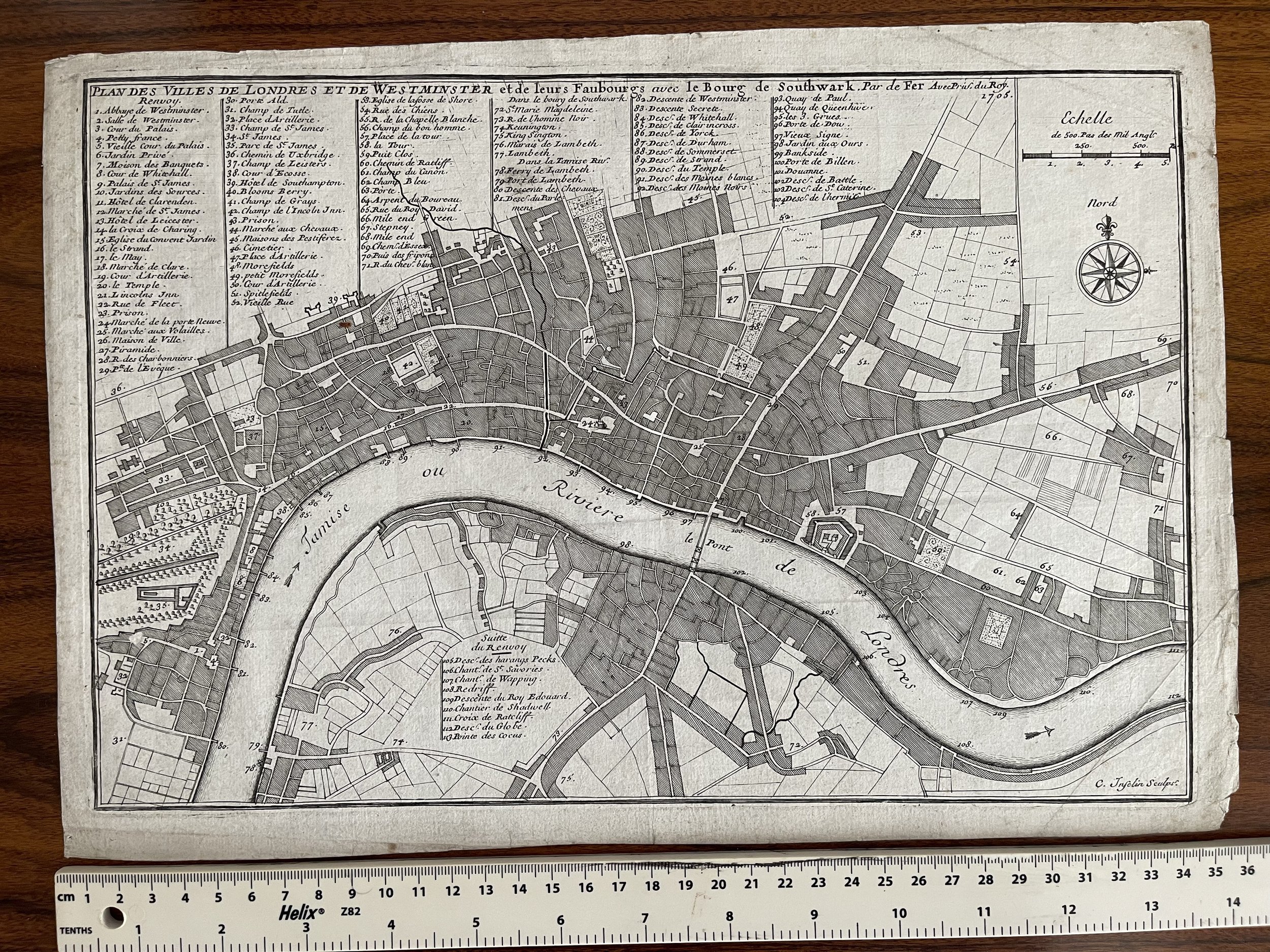
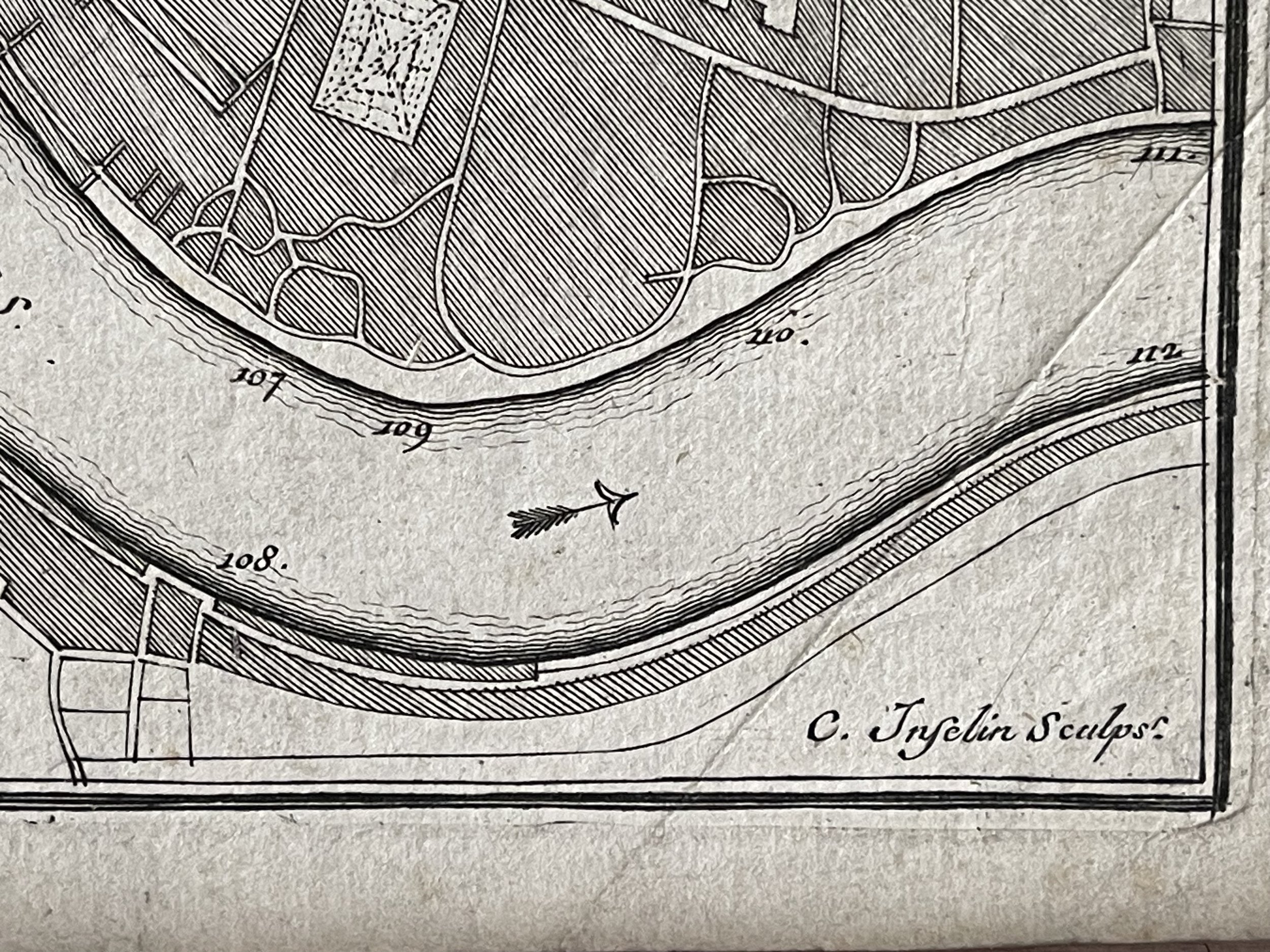
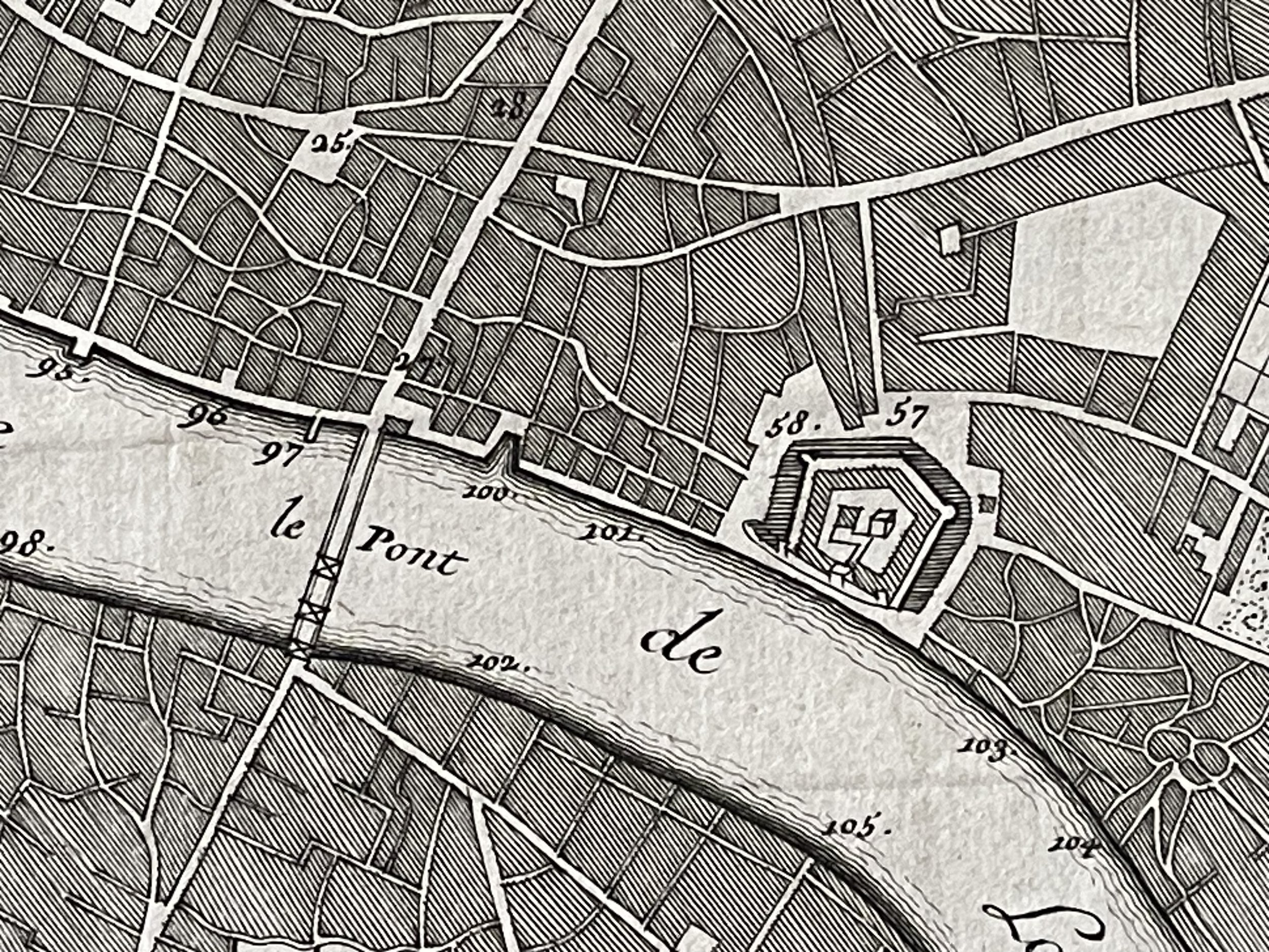
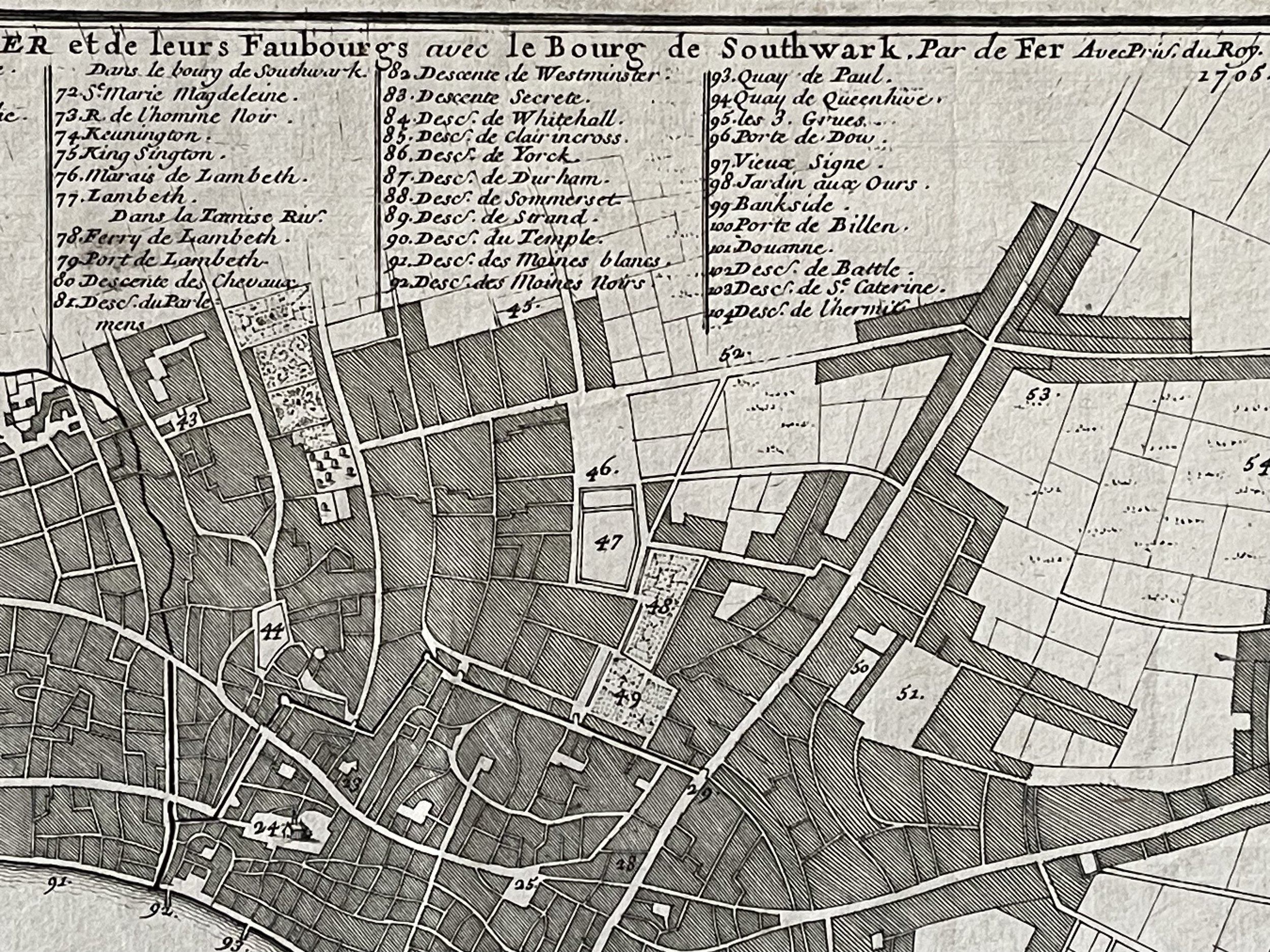
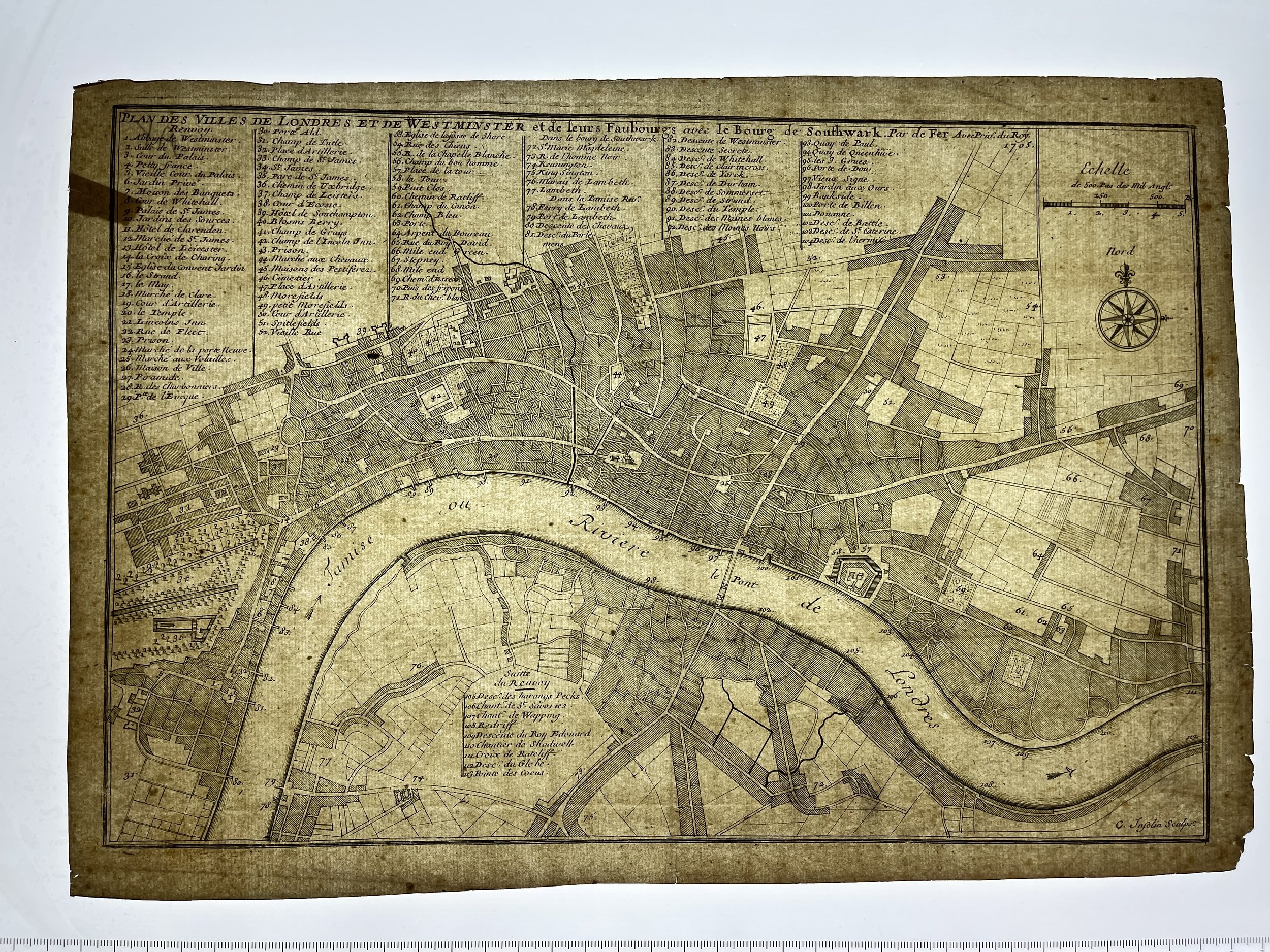
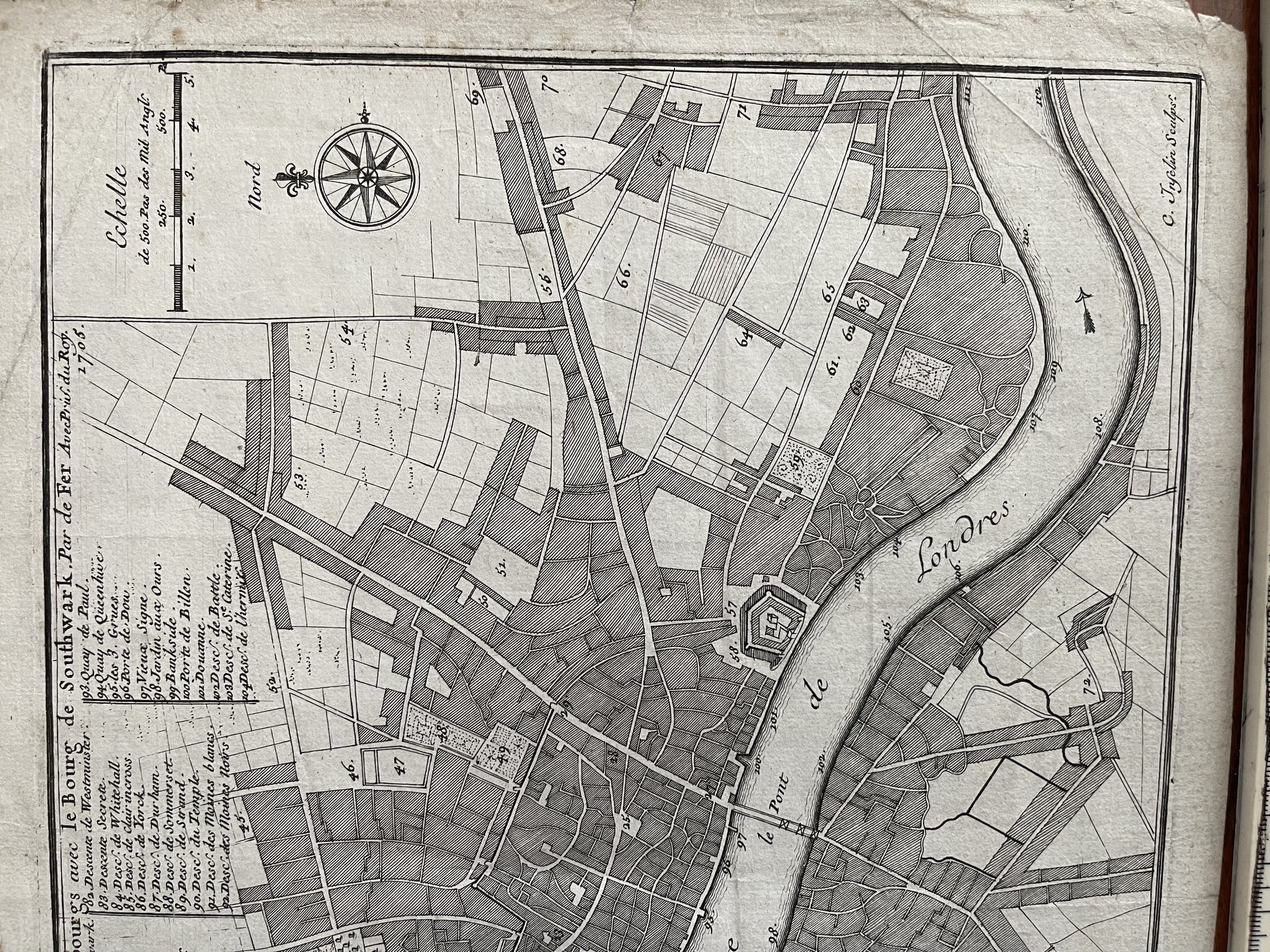
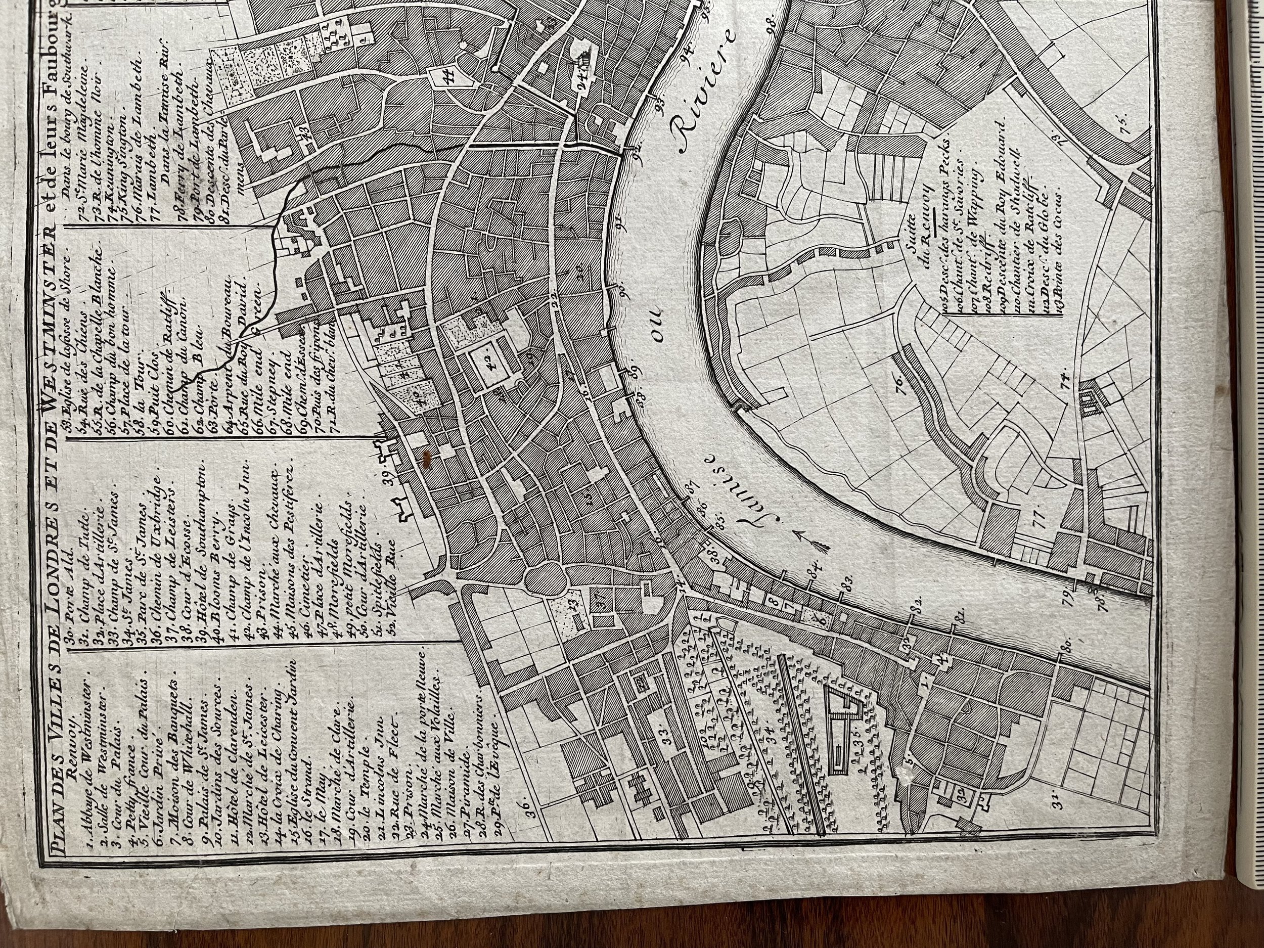
An original and beautiful antique map of London (Plan des Ville de Londres et de Westminster et leurs faubourgs) published in 1705 in Paris by Nicholas de Fer.
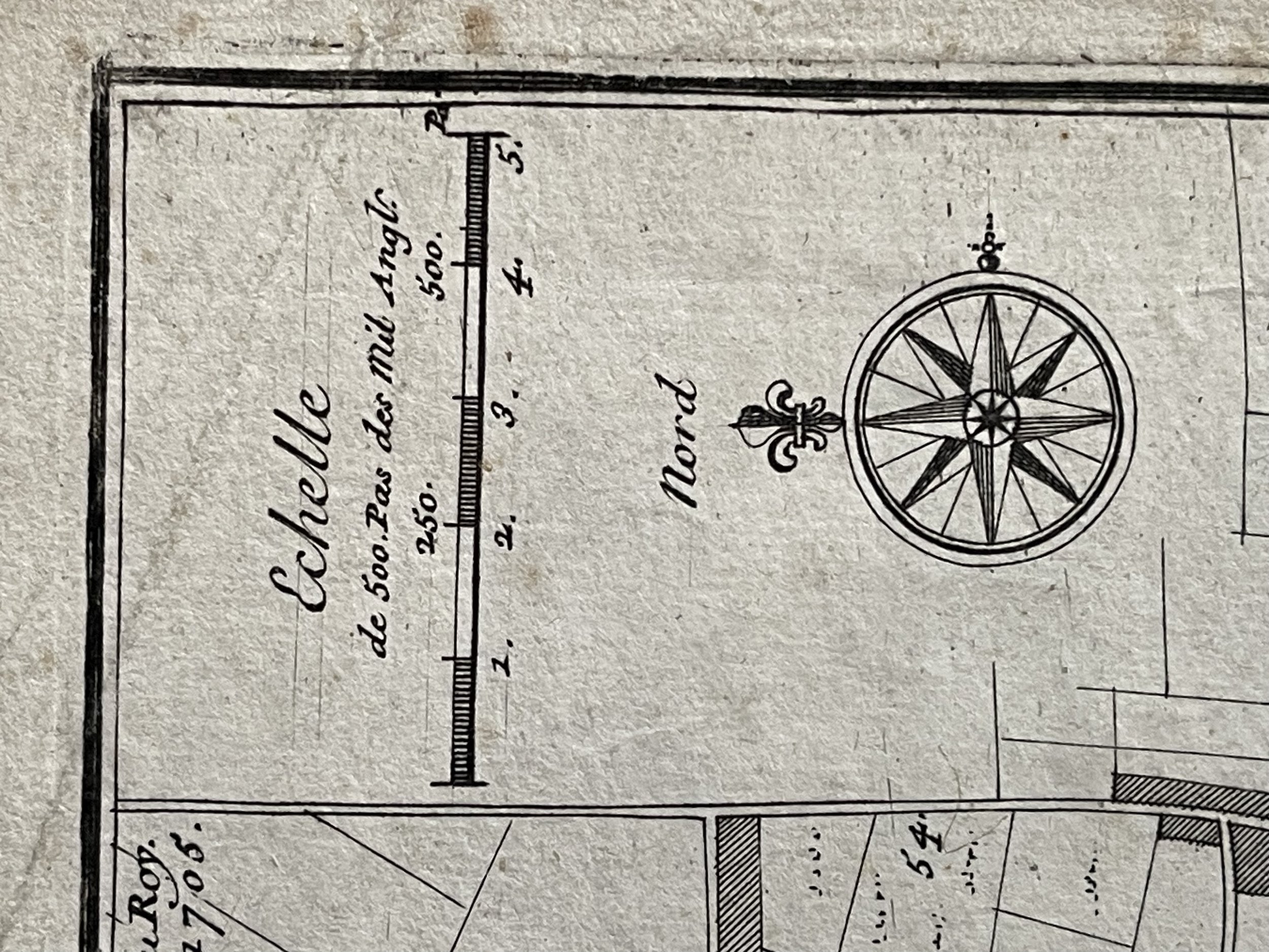
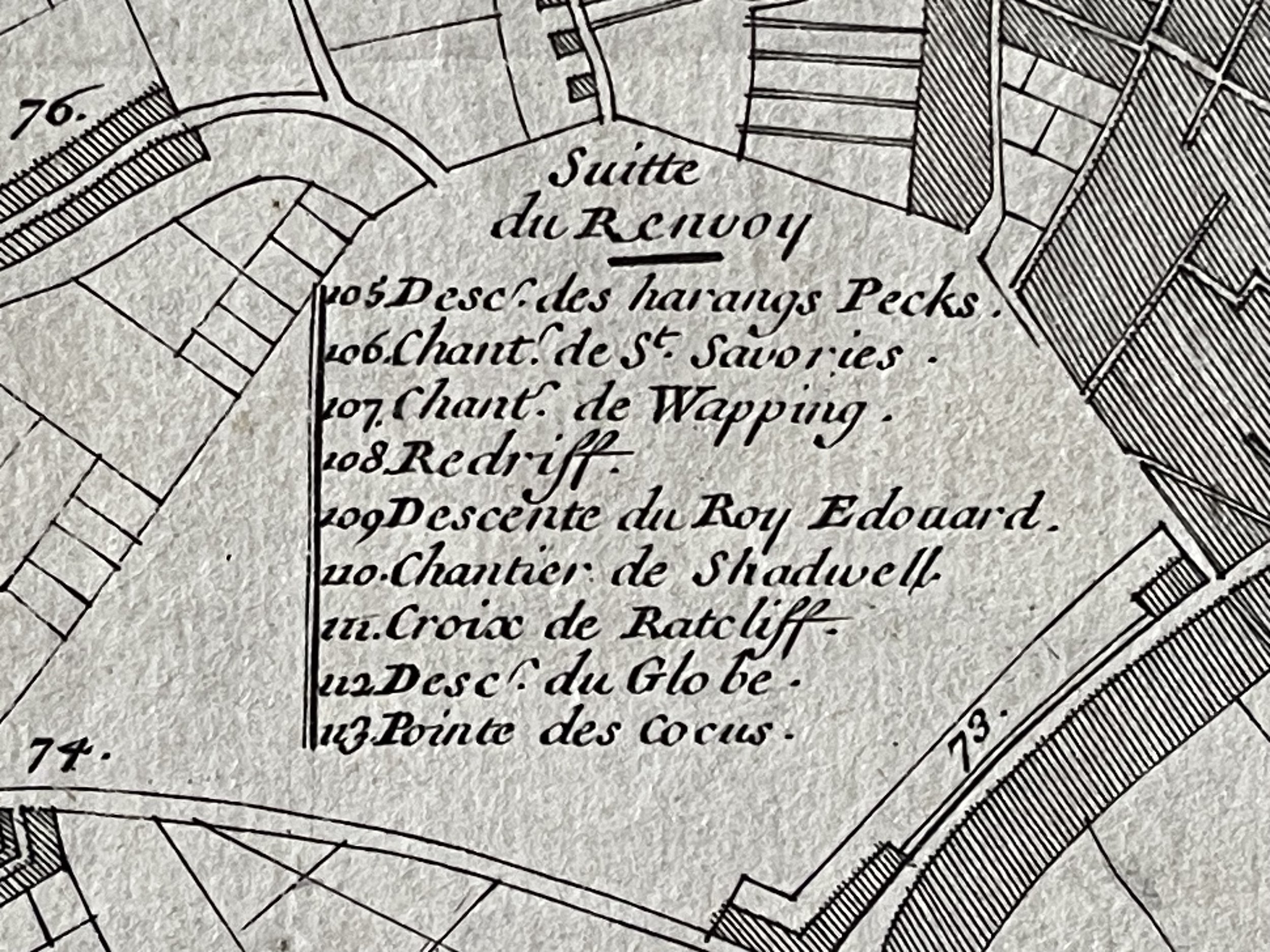
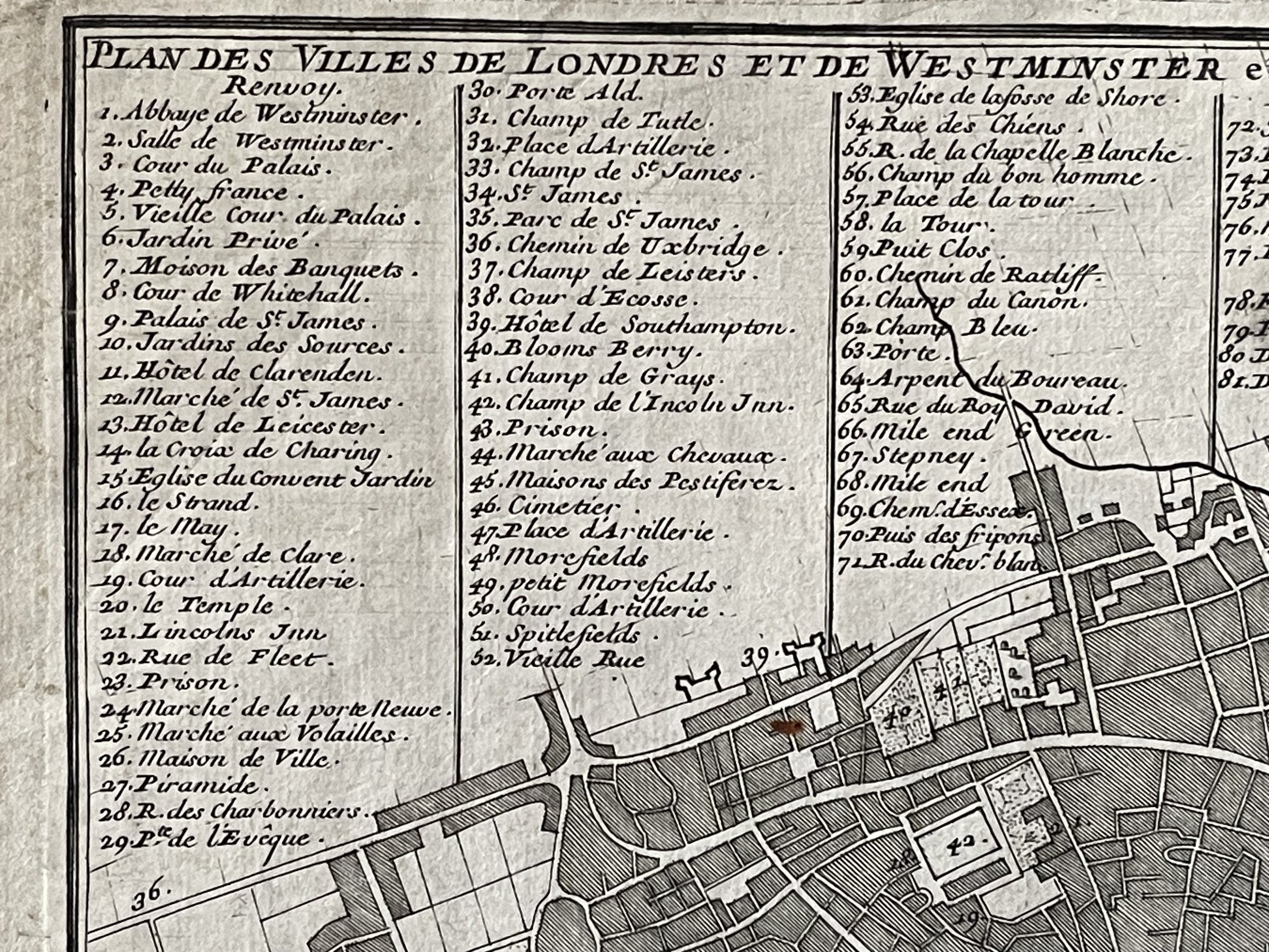
The map is unframed, unmounted (printed area 330x225mm) and uncoloured as published. There are good margins for mounting and framing. The map features a star compass, scale and a key listing 113 locations. The map covers both the City of London and Westminster, extending from St James's Park in the west to Stepney in the east. This is a good, dark impression and is in excellent condition for its 319+ Yrs age.
Nicolas de Fer (1646–1720)
Nicolas de Fer was a cartographer, engraver and publisher. He was apprenticed to Parisian engraver Louis Spirinx, and made his first map at the age of 23, of the Canal du Midi. His father Antoine was also a printer and his business passed to Nicolas in 1687. The fortunes of the firm improved rapidly under De Fer’s management, and he combined cartographic skill with a keen eye for advancement. In 1689 he produced a map of Franche-Comte to honour the Grand Dauphin’s leadership of a campaign to capture new territories in the Rhine, with a blurb saying that the Dauphin’s conquests had lent legitimacy to the campaign. He then became official geographer to the Dauphin.
His output subsequently became closely tied to the French crown’s interests: for example, the ‘Forces De L'Europe Ou Introduction A La Fortification’, published in 1695, which showed towns drawn as a plan to outline the fortifications designed by the groundbreaking French engineer Sébastien de Vauban, rather than as an elevation or view. He then went on to become the official geographer to Philip V and Louis XIV (both the French and Spanish branches of the House of Bourbon) and eventually, in 1720, the Pope. De Fer published the ‘Atlas curieux’ between 1700 and 1705, adding plates each time, covering astronomical and geographical subjects. De Fer also published a well-known map of the Americas, with vignettes designed by Nicolas Guérard, including one of beavers creating a dam. This vignette was later used by Herman Moll for his famous ‘Beaver Map’ of the British colonies in North America.
Code : A278
Cartographer : Cartographer / Engraver / Publisher: Nicholas De Fer
Date : Publication Place / Date - 1705
Size : Sheet size: Image Size: 24.5 by 36 cms.
Availability : Available
Type - Genuine - Antique
Grading A
Where Applicable - Folds as issued. Light box photo shows the folio leaf centre margin hinge ‘glue’, this is not visible otherwise.
Tracked postage, in casement. Please contact me for postal quotation outside of the UK.