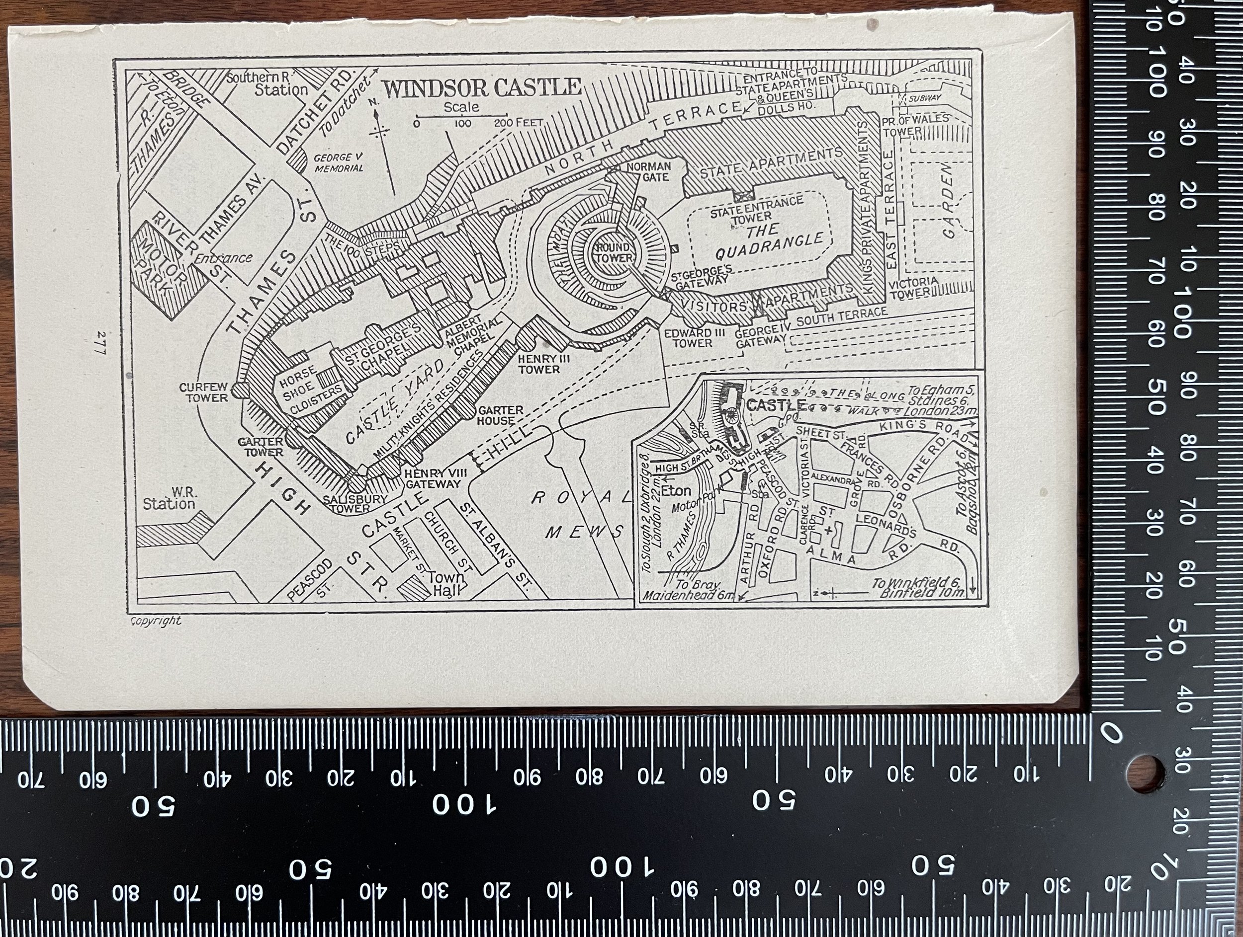
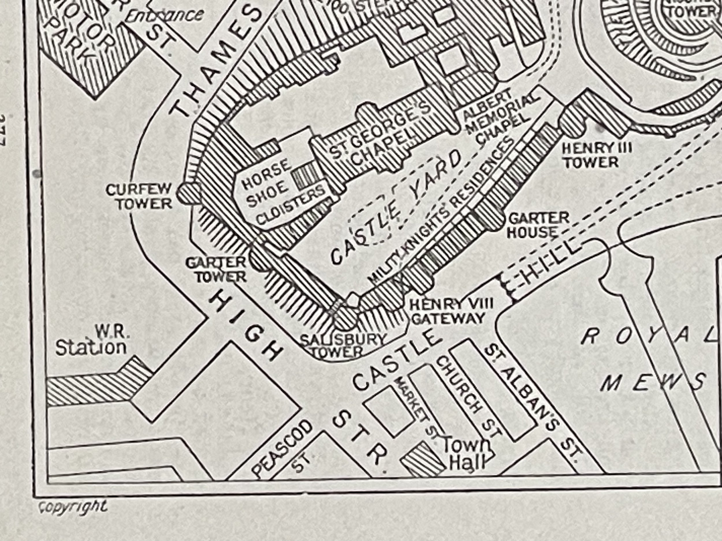
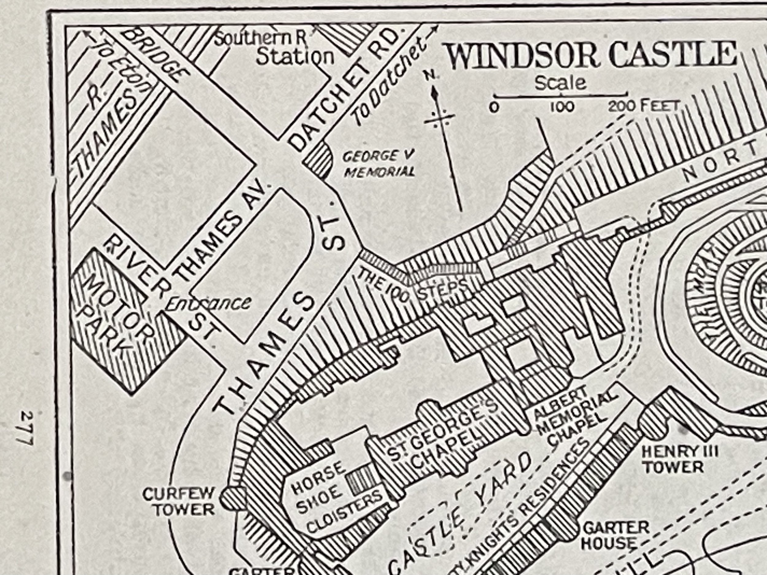
London, Windsor Castle - Vintage Sketch Map - 1953
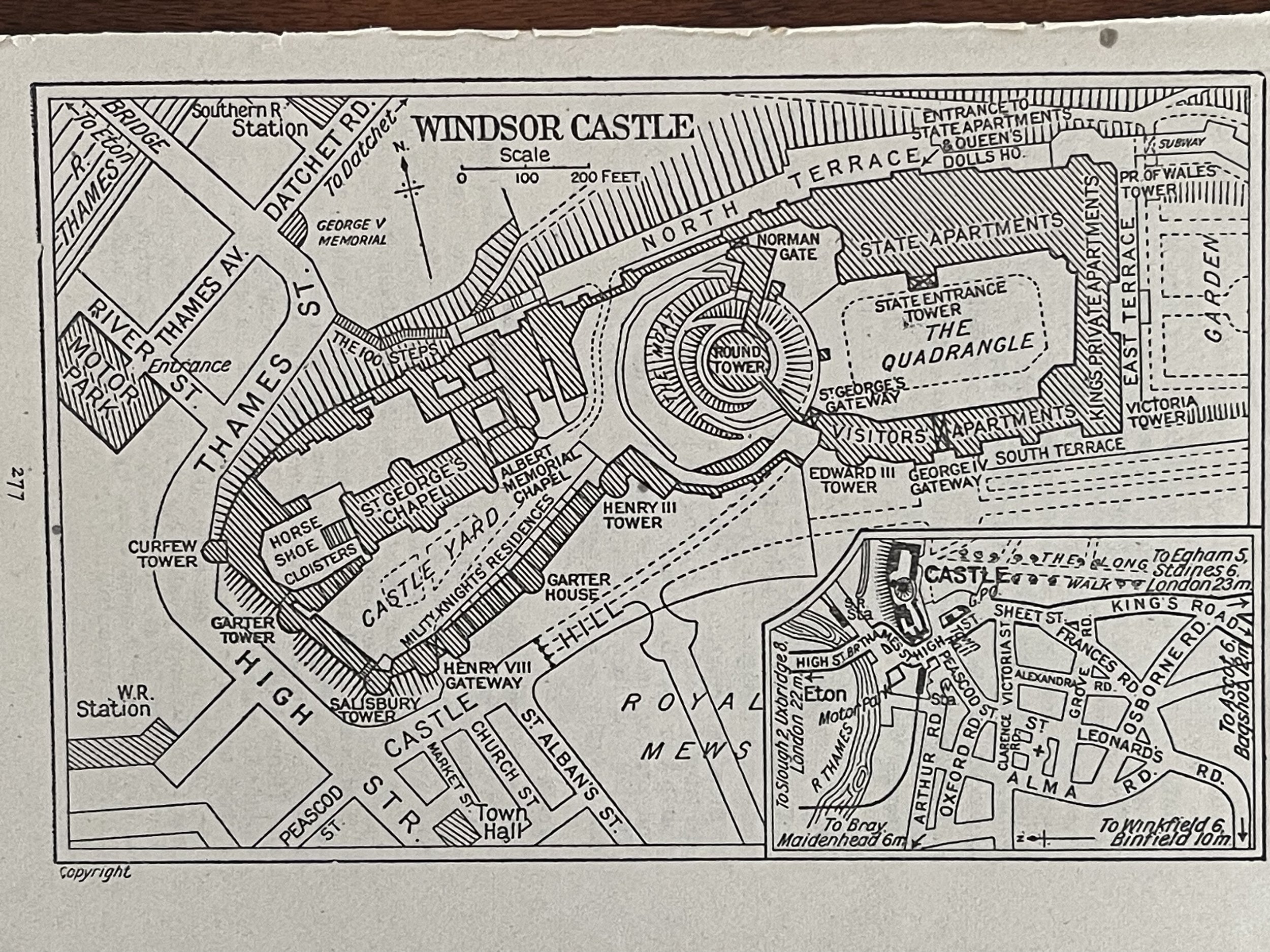
Small map of the grounds around Windsor Castle London England Circa 1953. The plate is labelled page 277 and was most probably part of a guide of the period. Nice little map.
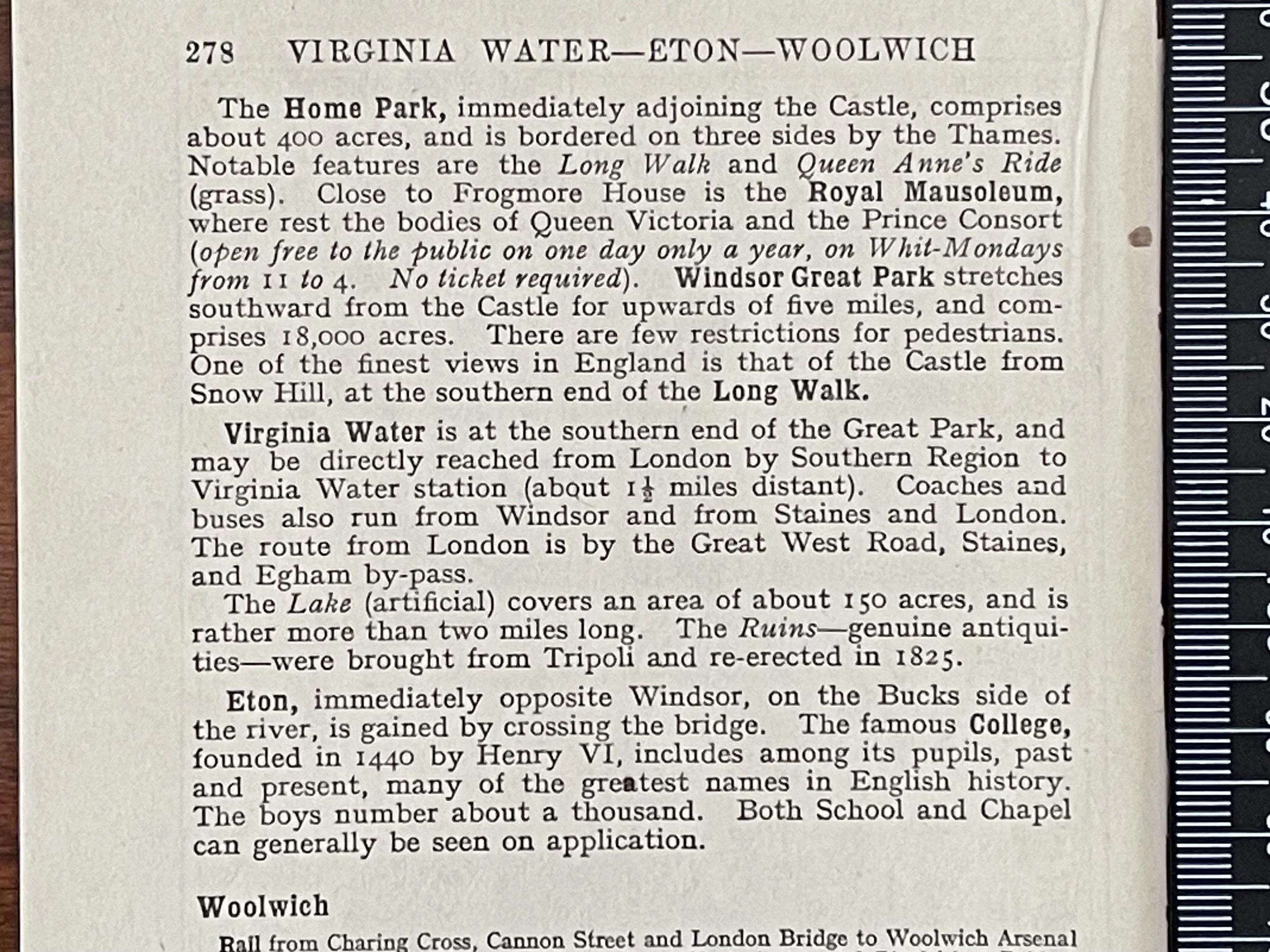
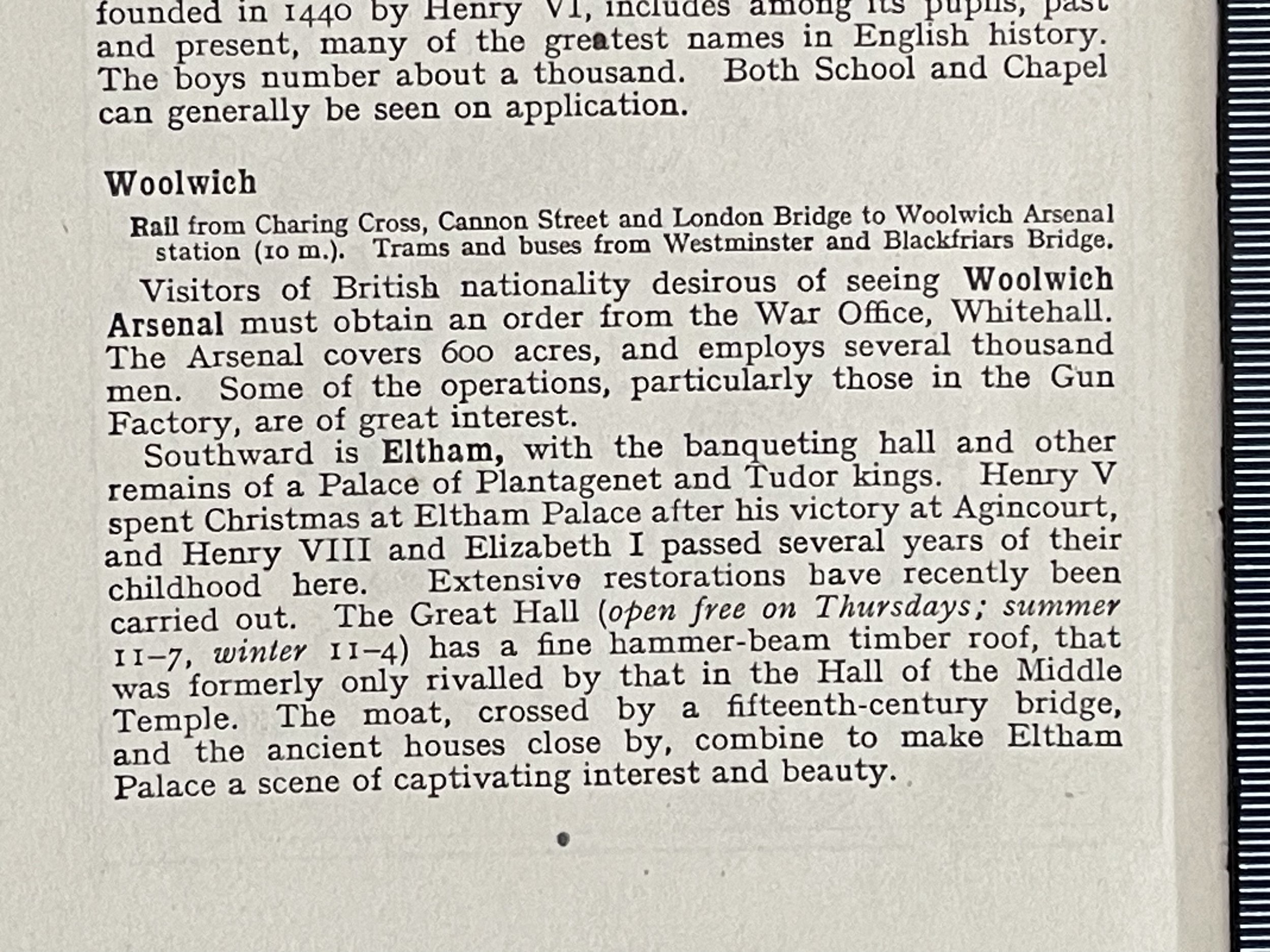
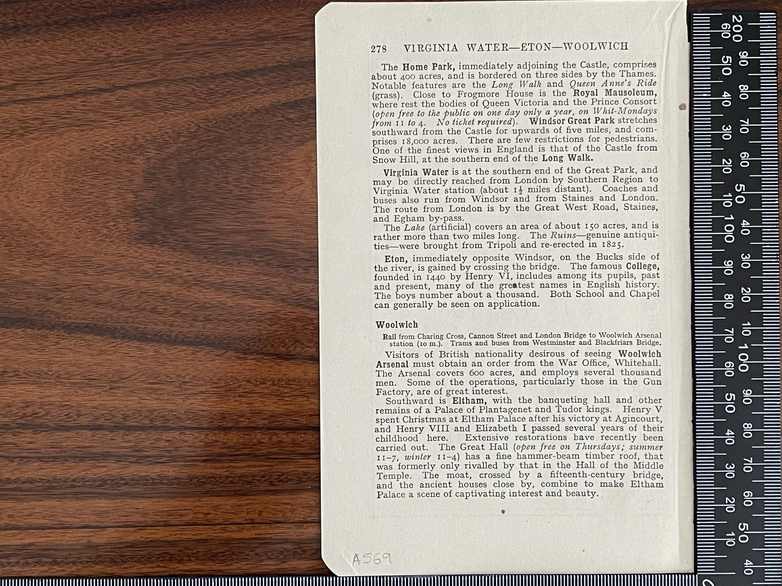
On the reverso, there is descriptive text of Virginia Water Eton & Woolwich in the surrounding areas.
Small map of the grounds around Windsor Castle London England Circa 1953. The plate is labelled page 277 and was most probably part of a guide of the period. Nice little map.
On the reverso, there is descriptive text of Virginia Water Eton & Woolwich in the surrounding areas.
Small map of the grounds around Windsor Castle London England Circa 1953. The plate is labelled page 277 and was most probably part of a guide of the period. Nice little map.
On the reverso, there is descriptive text of Virginia Water Eton & Woolwich in the surrounding areas.
Code : A569
Cartographer : Cartographer / Engraver / Publisher: Unknown
Date : Publication Place / Date - Circa 1953
Size : Sheet size: Image Size: 17 x 11 cm
Availability : Available
Type - Genuine - Vintage
Grading A to A+
Where Applicable - Folds as issued. Light box photo shows the folio leaf centre margin hinge ‘glue’, this is not visible otherwise.
Tracked postage, in casement. Please contact me for postal quotation outside of the UK.
