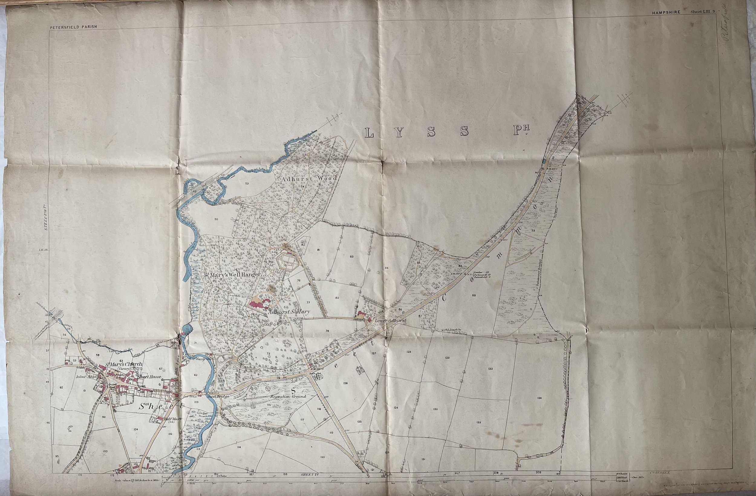
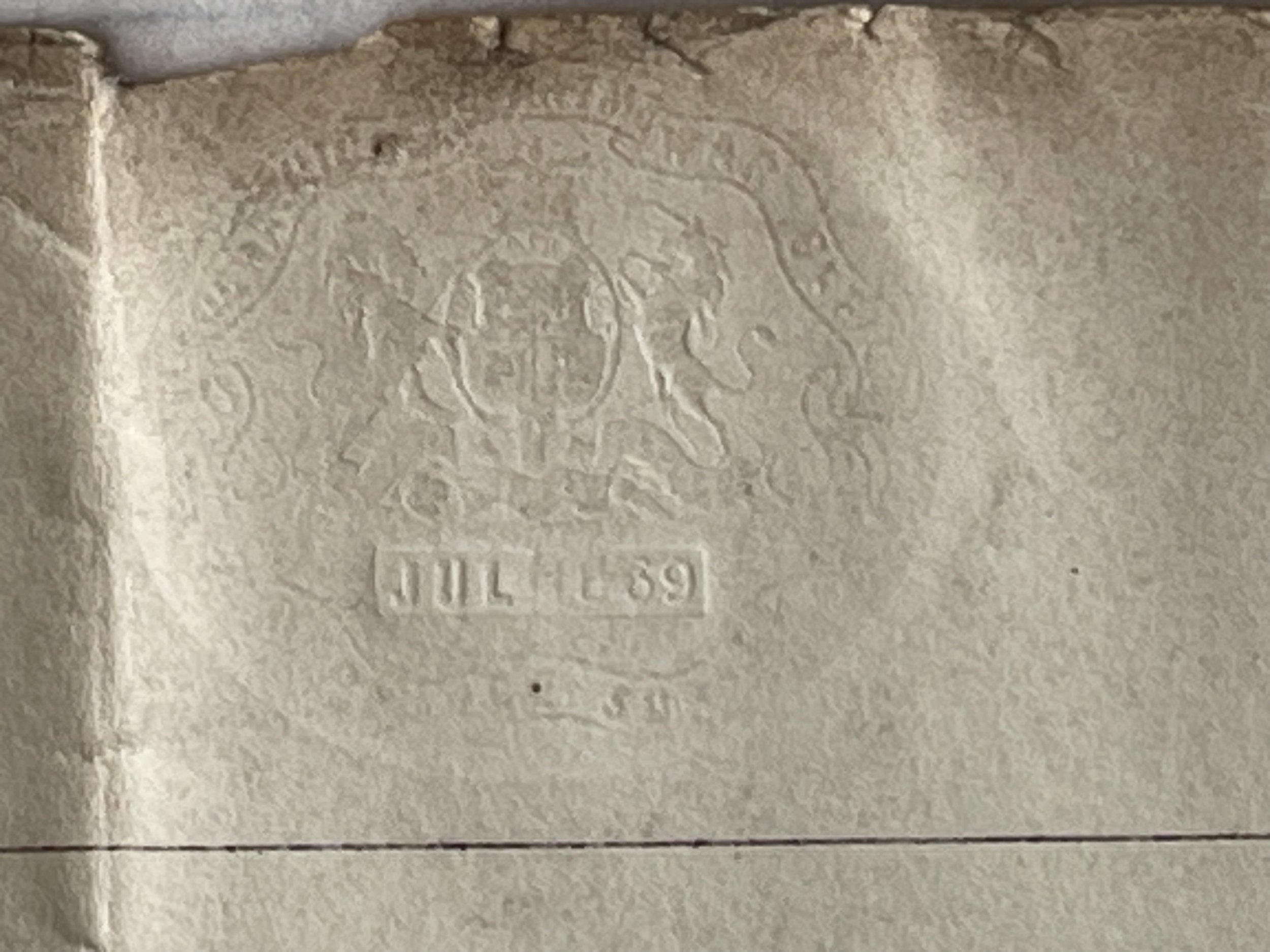
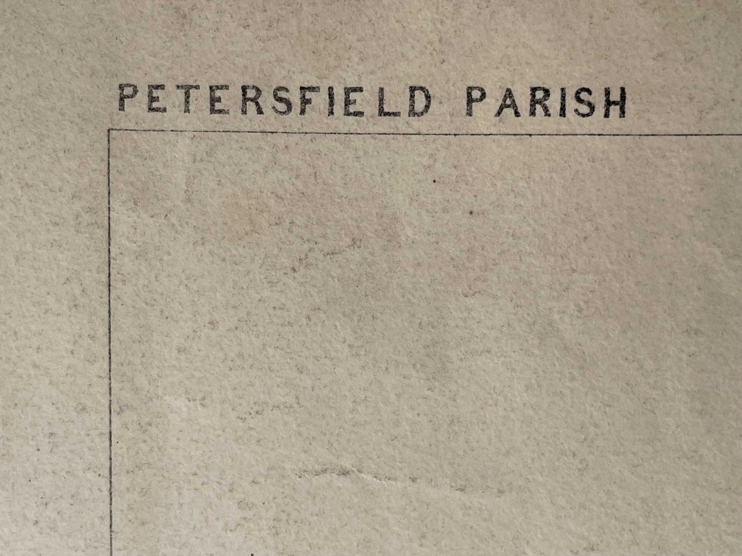
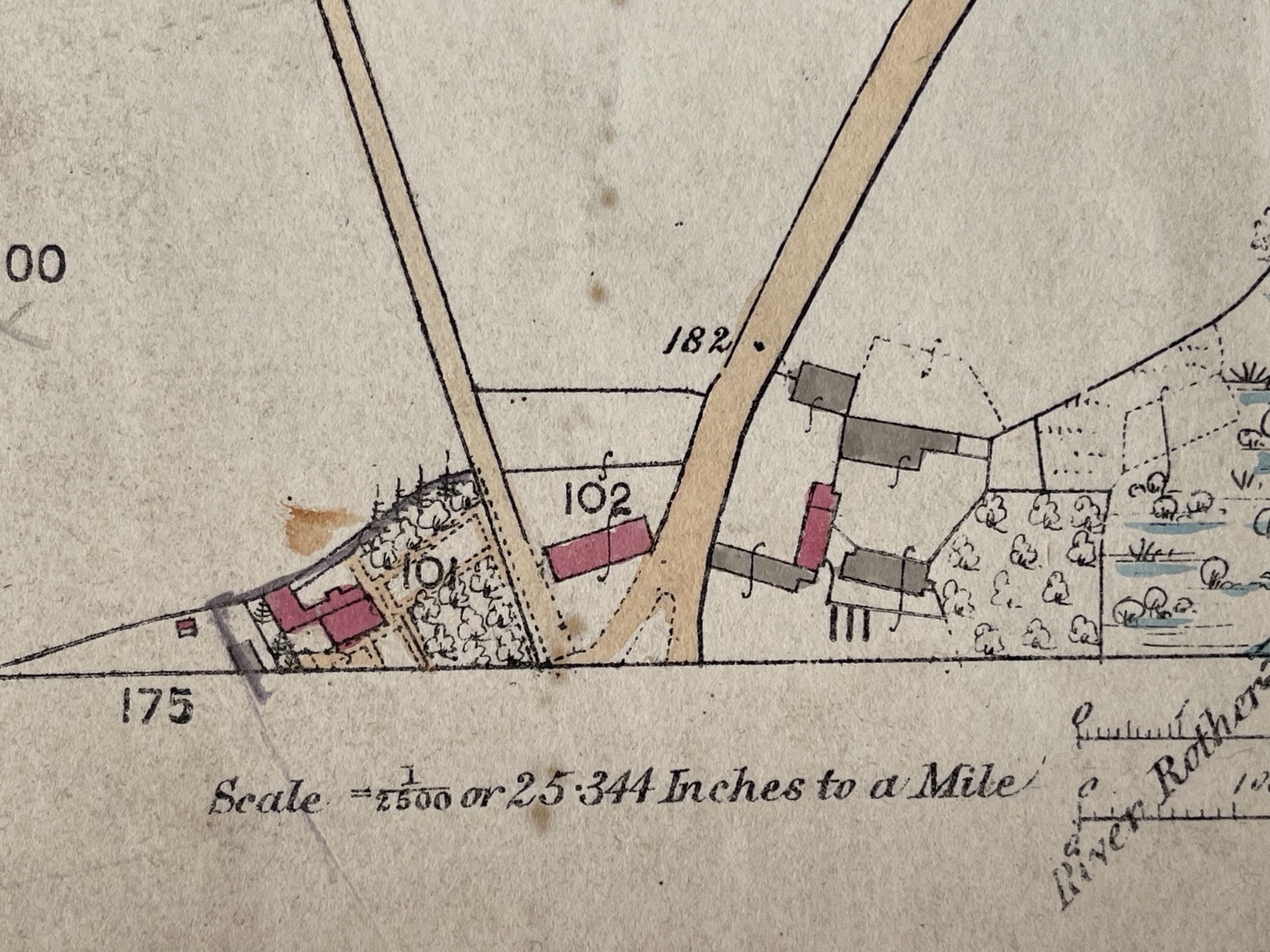
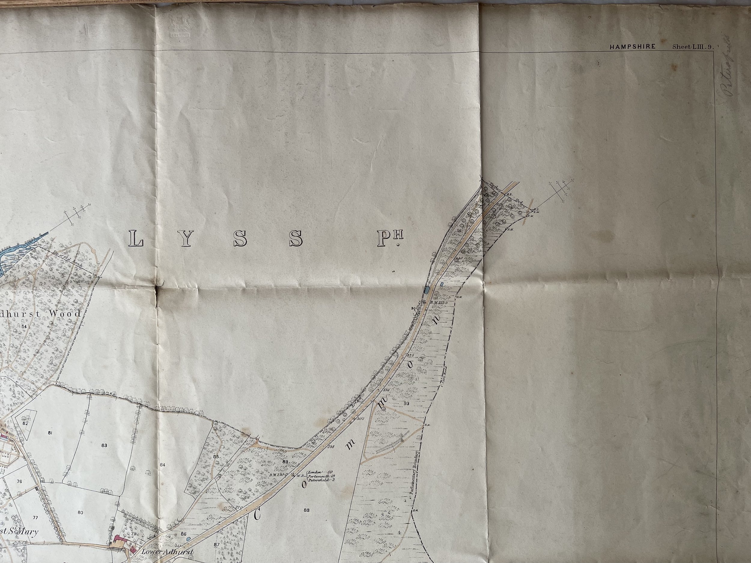
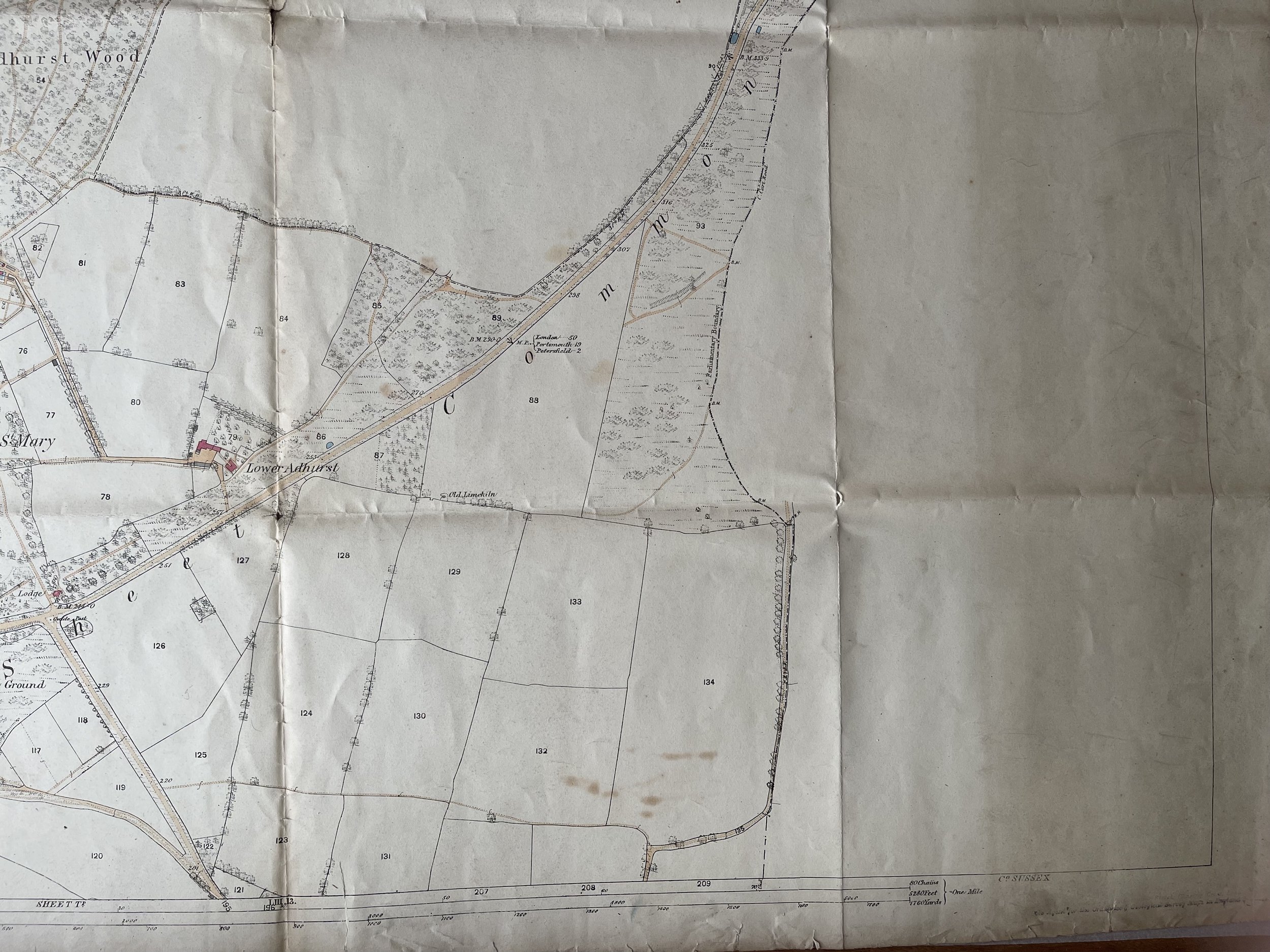
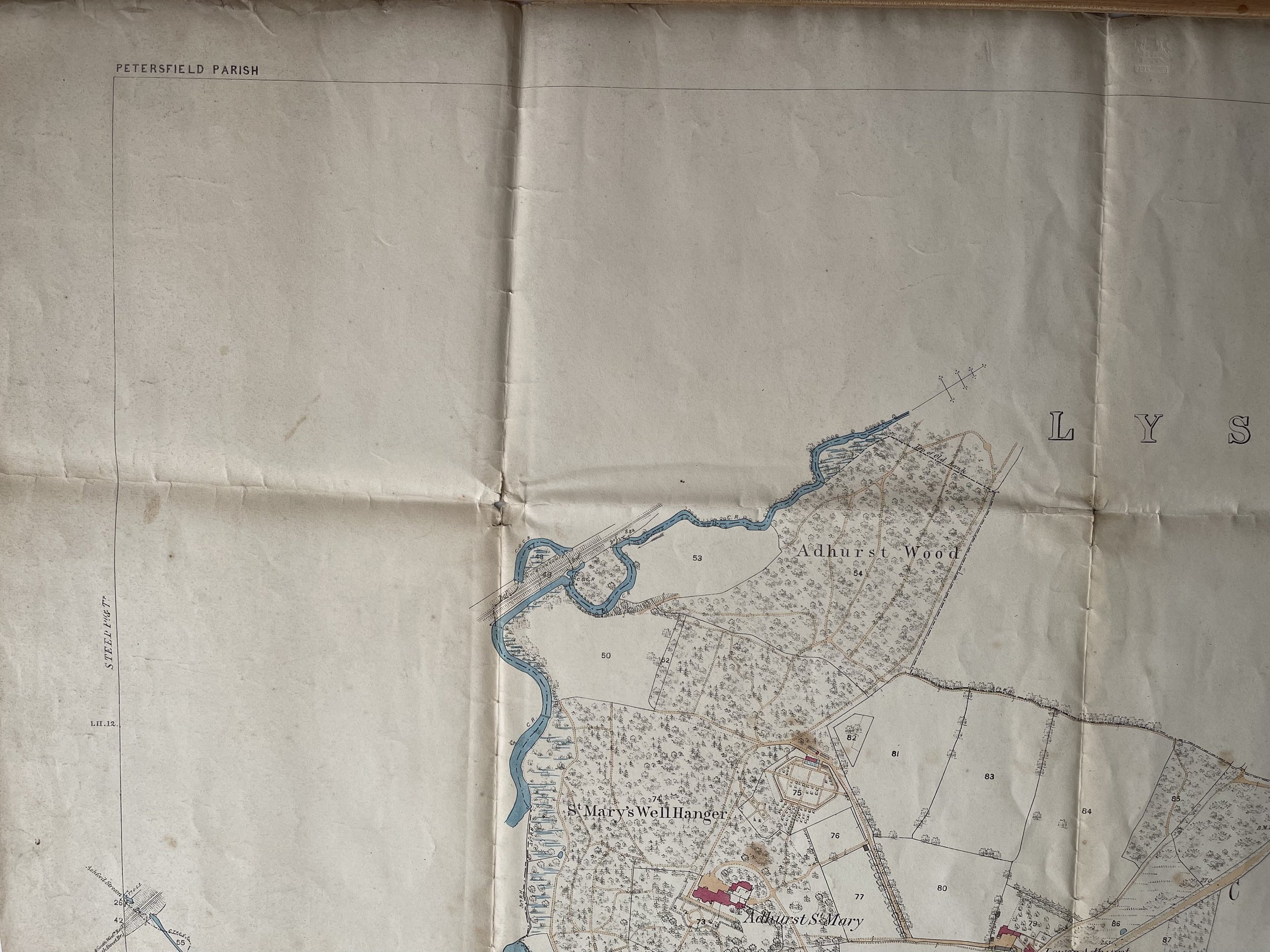
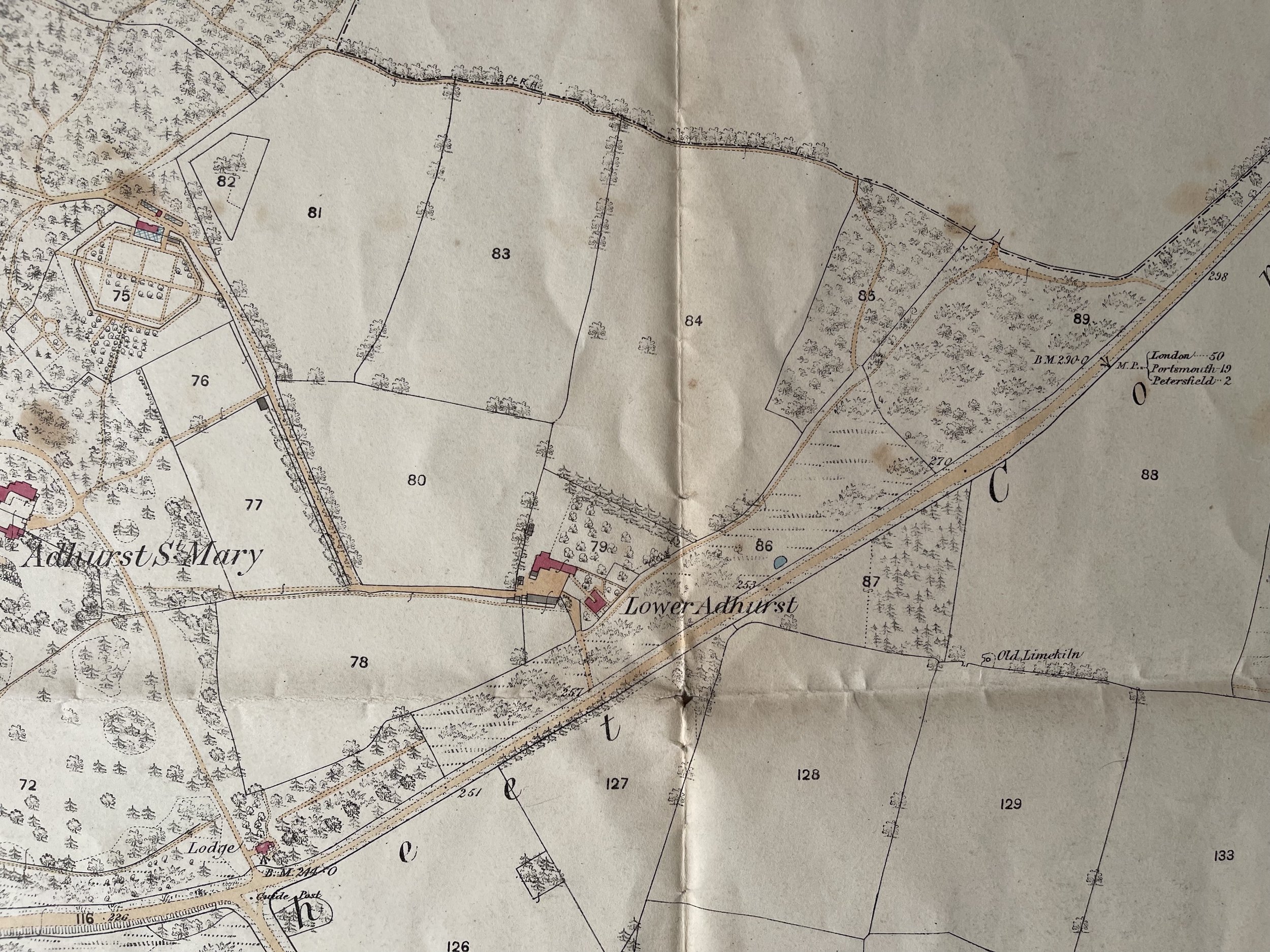
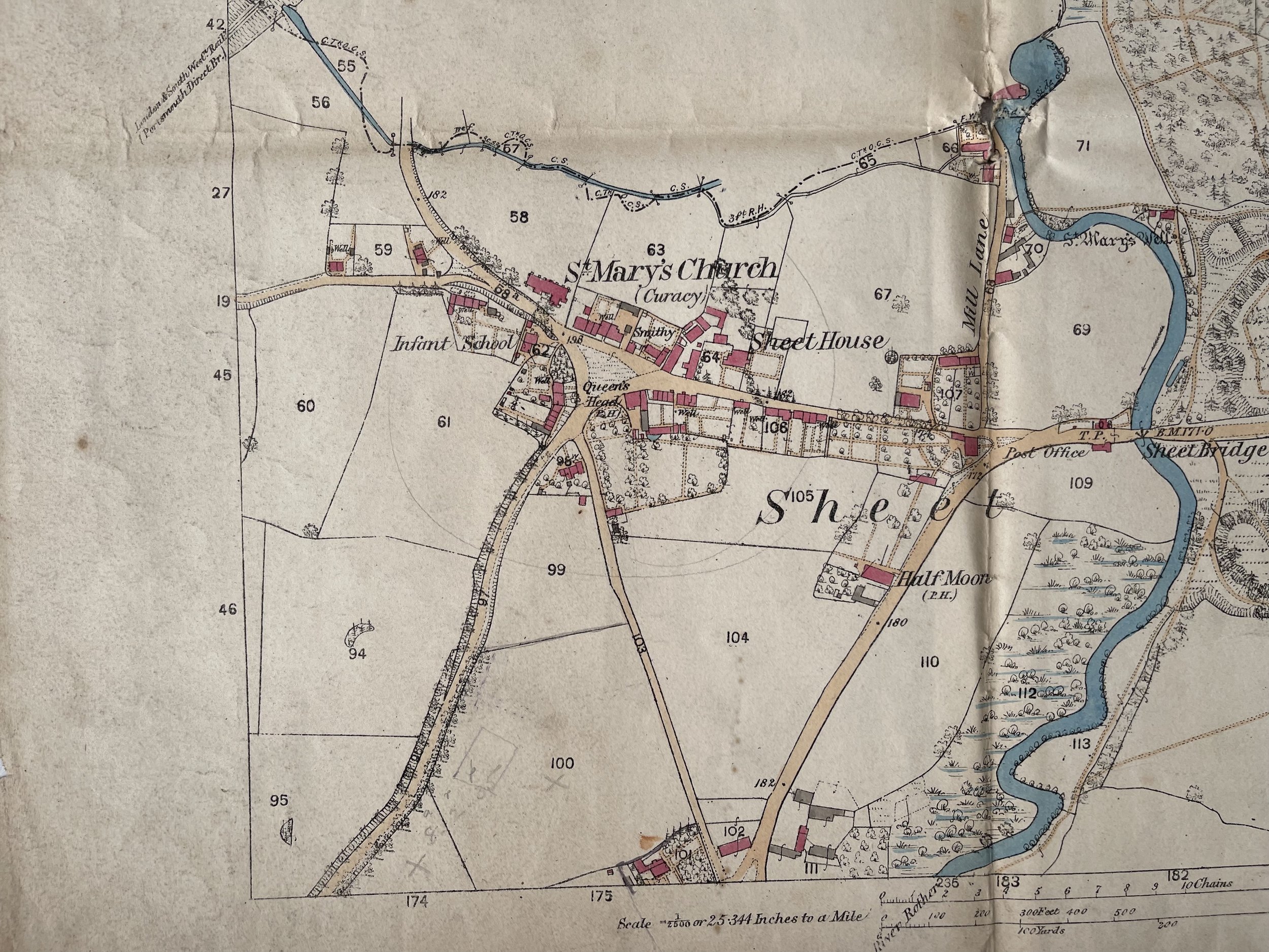
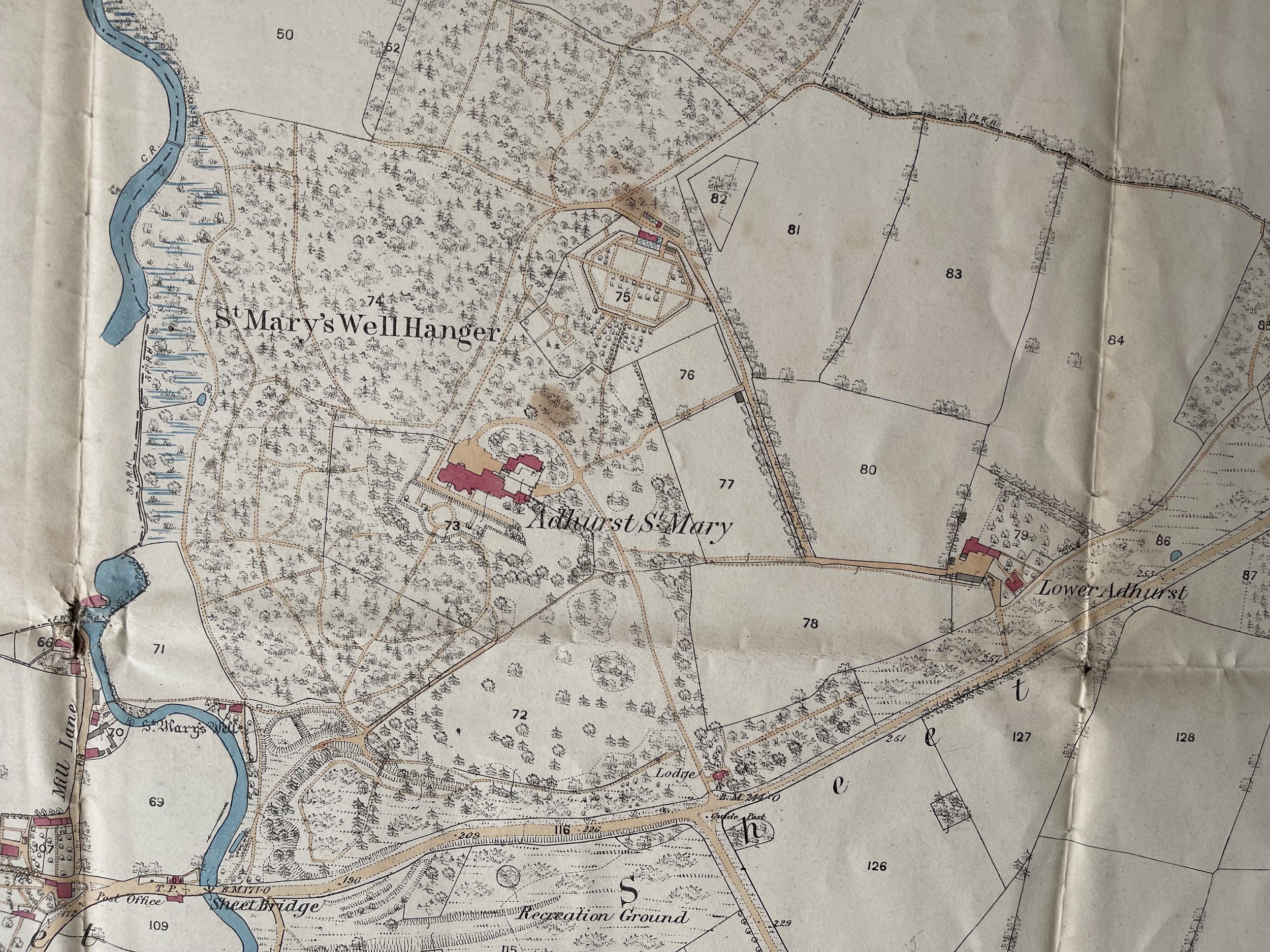
Petersfield Parish, Hampshire - Interesting and large Land Survey Map - Ordnance and geological survey - July 1869
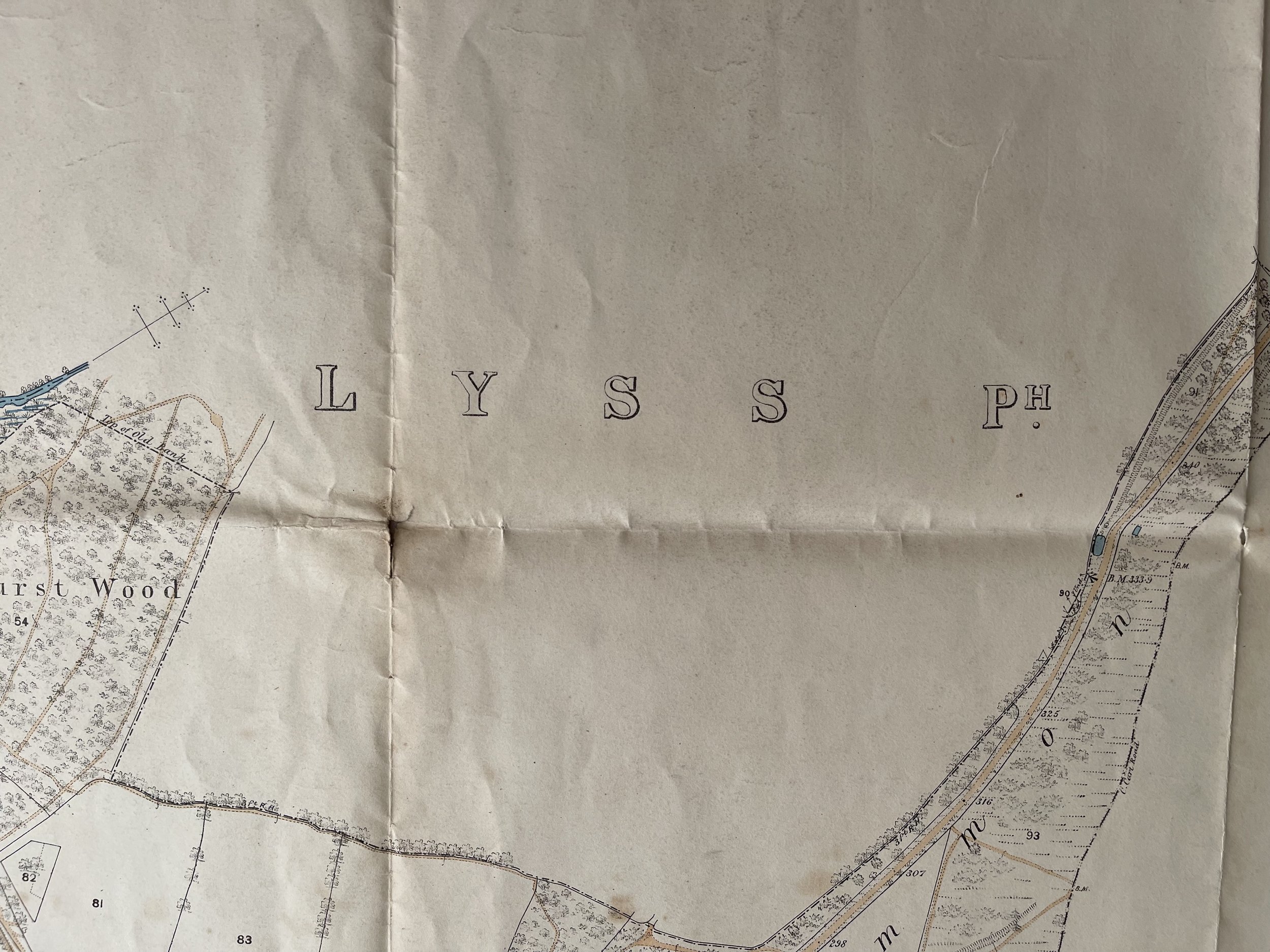
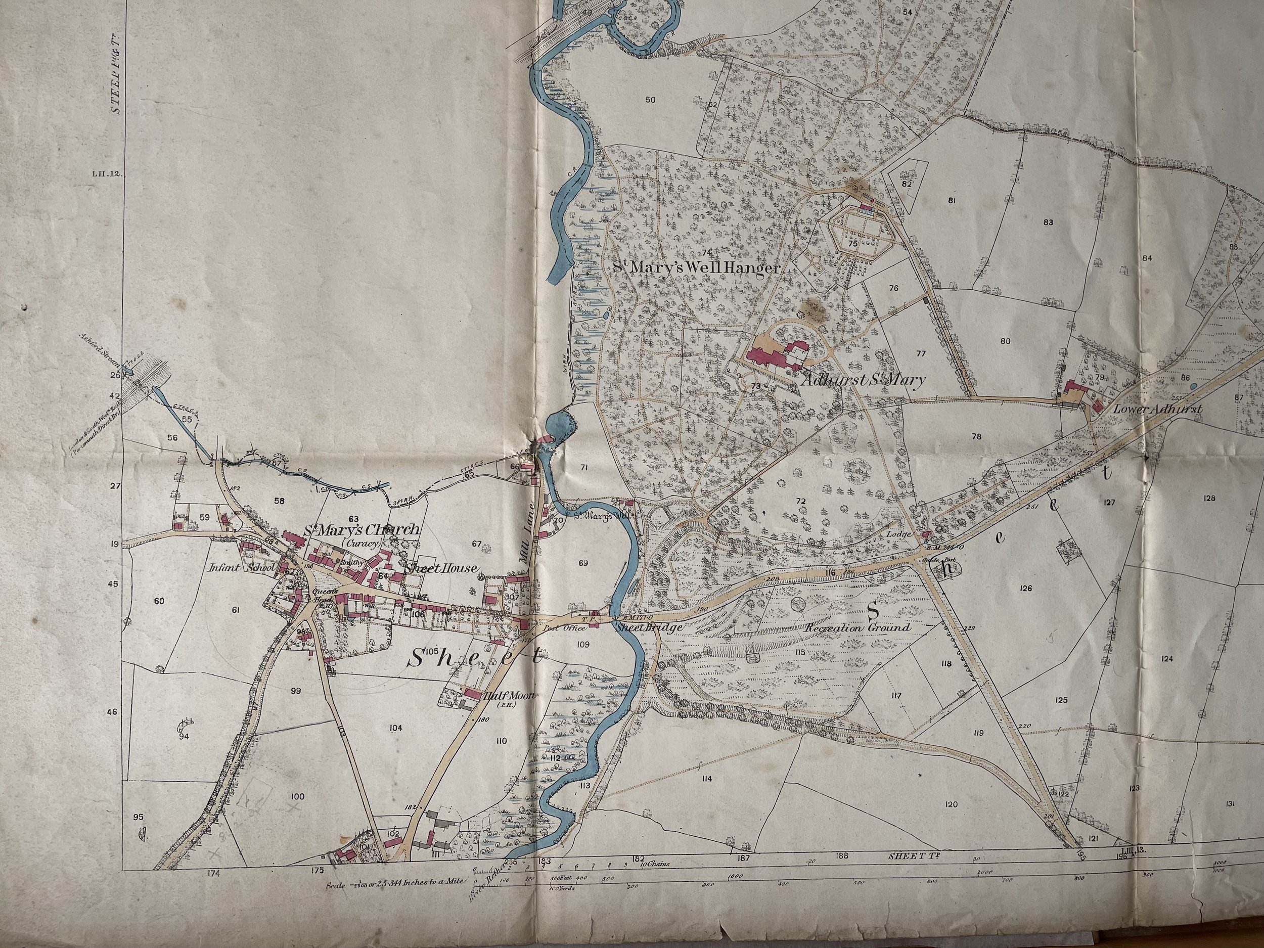
Unusual large map of Lyss, Petersfield Parish, Hampshire sheet LIII 9 - Ordnance and geological survey.
In 1832, Henry de la Beche was appointed by the Board of Ordnance ‘to affix geological colours to maps of Devonshire, with portions of Somerset, Dorset and Cornwall’. By the end of 1834, seven sheets were completed, and, after consultation, the Treasury funded the Ordnance Geological Survey, then part of the Ordnance Survey.
The mapping proceeded and, by 1839, fourteen sheets and de la Beche’s first ‘Memoir’, the ‘Report on the Geology of Cornwall, Devon, and West Somerset’, were published.
In 1844, William Edmond Logan created and published the horizontal and vertical sections. The horizontal sections were meticulously surveyed on a scale of six inches to a mile while the vertical ones were usually at a scale of one inch to forty feet.
By 1845, nearly the whole of Somerset, the western half of Gloucestershire, the counties of Monmouth, Glamorgan, Carmarthen and Pembroke, and nearly the whole of Brecknock and Herefordshire together with part of Worcestershire had been mapped and published and by 1854 the whole of Wales had been completed.
Mapping was still undertaken on the scale of one inch to one mile but, following the example in Ireland, the new mapping of the northern counties was done on six-inch to the mile scale field sheets.
The importance of the superficial deposits (in most cases, the sands, gravels and boulder clays deposited during the glacial period) was also recognised. Mapping of these began at about the same time.
After a Royal Commission on Coal in 1866, the Geological Survey greatly expanded under Roderick Impey Murchison. Twenty-one field geologists were recruited during 1868–69. By this time, the survey had progressed northwards and eastwards to a line from Liverpool to Selby and as far east as Retford, Melton Mowbray, Market Harborough, Huntingdon, London, Chatham and Folkestone and parts further north of Lancashire, Westmoreland and some of the Northumberland coalfield.During the 1880s there was a (short-lived) cessation of mapping at six-inches to the mile, with the aim of pushing the completion of the primary mapping of England and Wales, the latter being completed in 1883. Staff were then transferred either to Scotland or to map the ‘drift’ (superficial deposits) of the southern counties that was missed during the early surveys. Sheets continued to be produced in hand-coloured form up to 1903.
Eventually, the typically colour-printed ‘New Series’ one-inch geological maps superseded the older, hand-coloured maps. For much of central and southern England and Wales ,the New Series was on new sheet lines with different sheet numbering. In northern England, the older hand-coloured maps and New Series sheet lines coincided, although the sheet numbering was different.
1867–1868 - Expansion of the survey. Twenty-one field geologists are recruited. Total staff in England and Wales is 36 and Ramsay is the senior director for England and Wales.
1871 - The area covered by published maps covers most of the country south-west of a line drawn from Kendal to Southend on the Thames.
Code : A111
Cartographer : Cartographer / Engraver / Publisher: Ordnance and Geological Survey
Date : Publication Place / Date - 1869
Size : Sheet size: Image Size: 108 by 71.5 cms.
Availability : Available
Type - Genuine - Antique
Grading A-
Where Applicable - Folds as issued. Light box photo shows the folio leaf centre margin hinge ‘glue’, this is not visible otherwise.
Tracked postage, in casement. Please contact me for postal quotation outside of the UK.