


Plan general de la Ville, Cité, Université et faubourgs de Paris - Louis-François Deharme & Louis-Charles Desnos - 1768
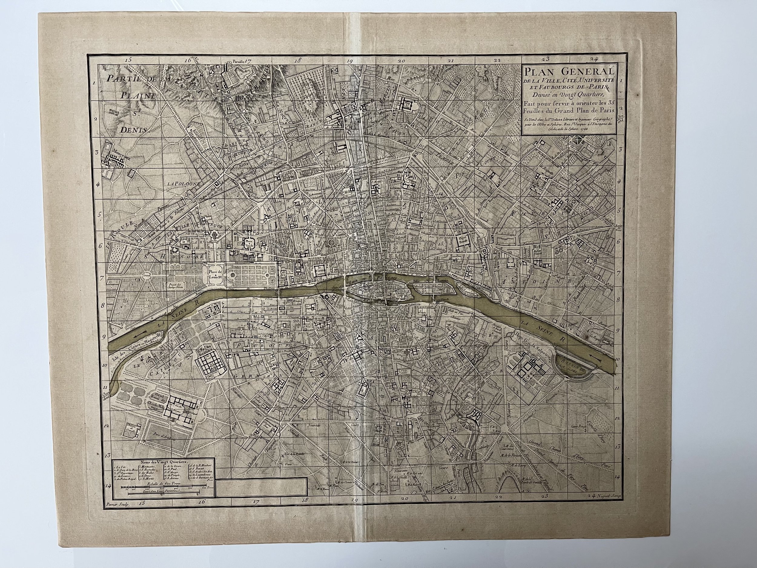
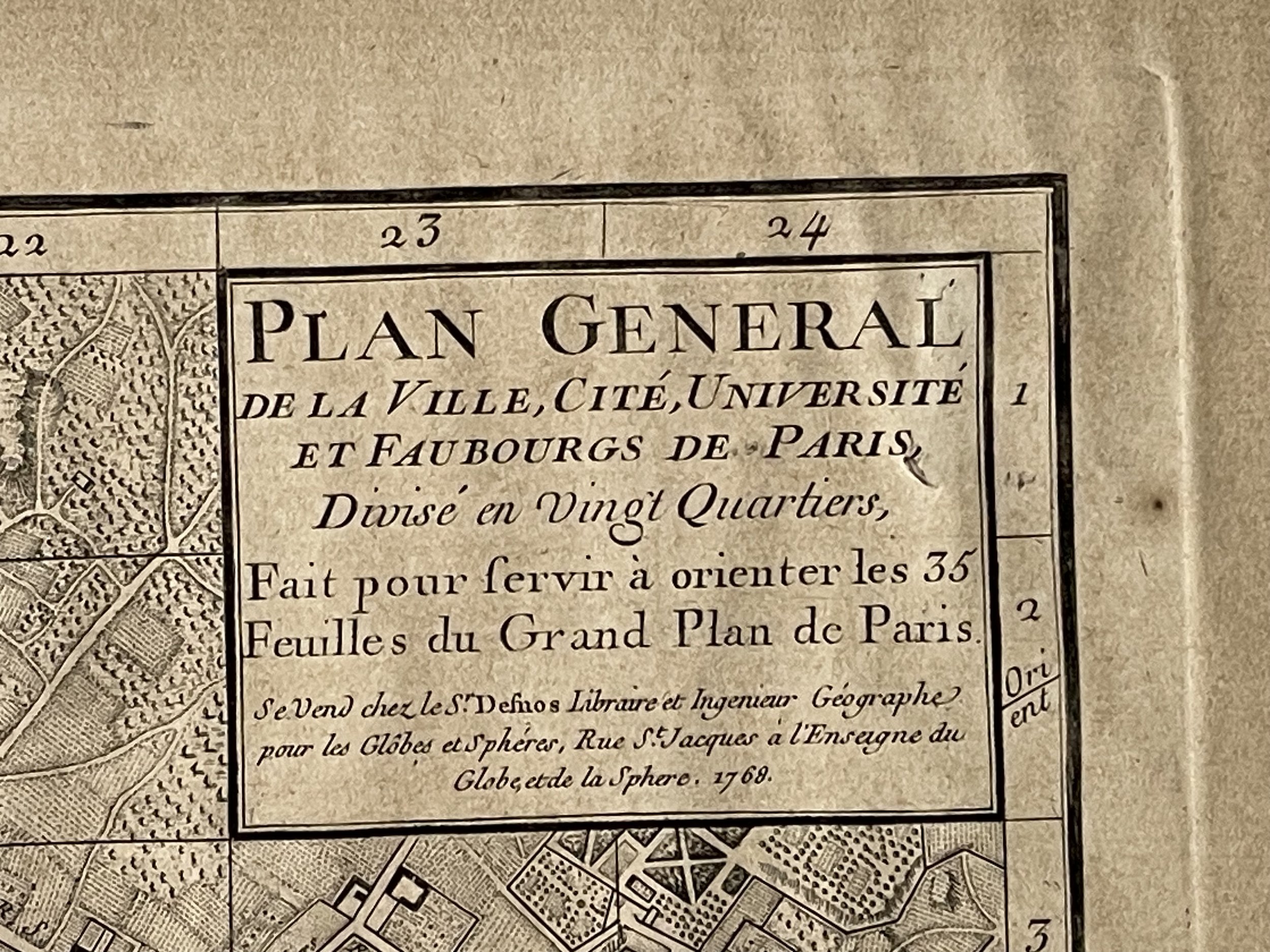
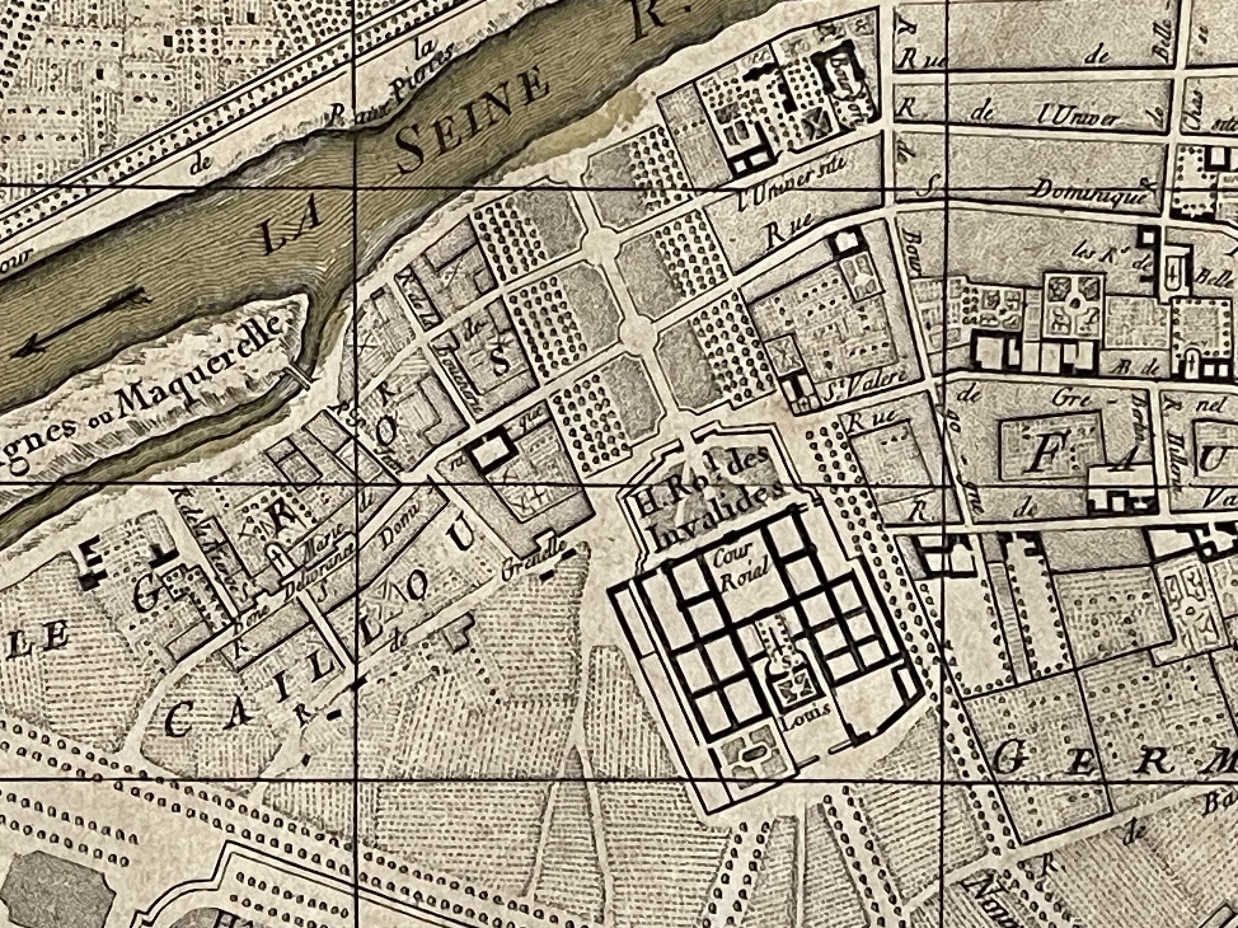
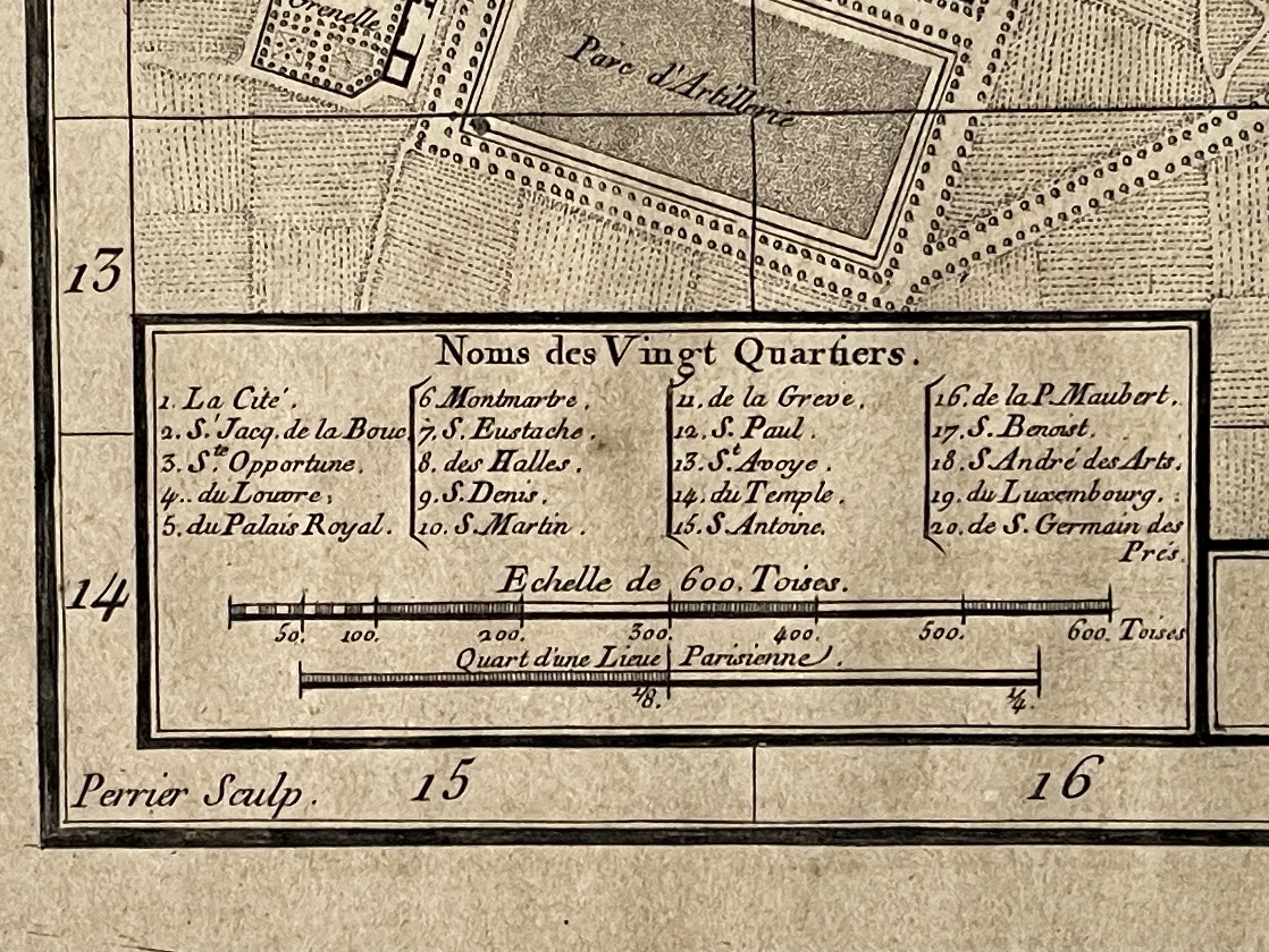
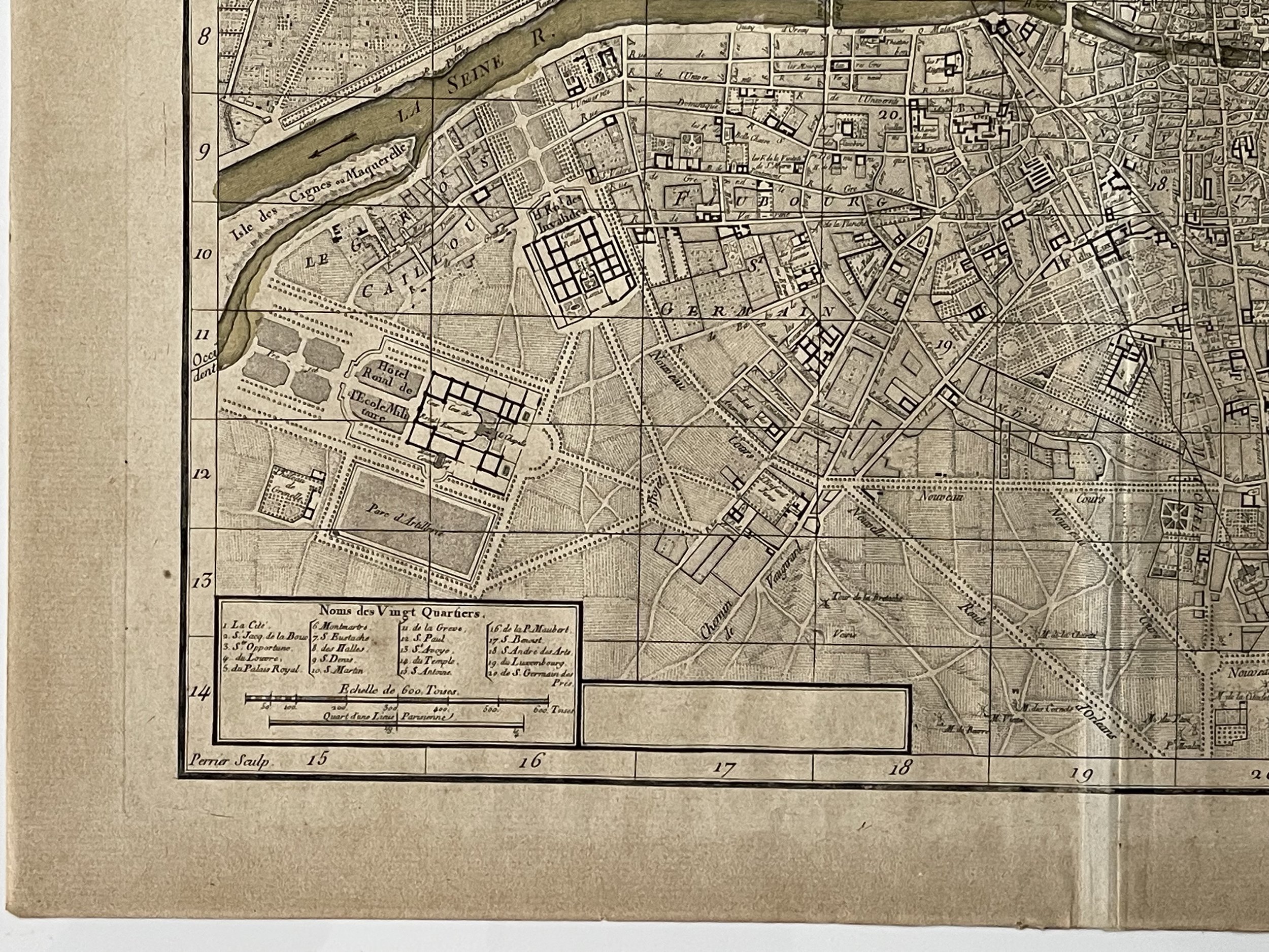
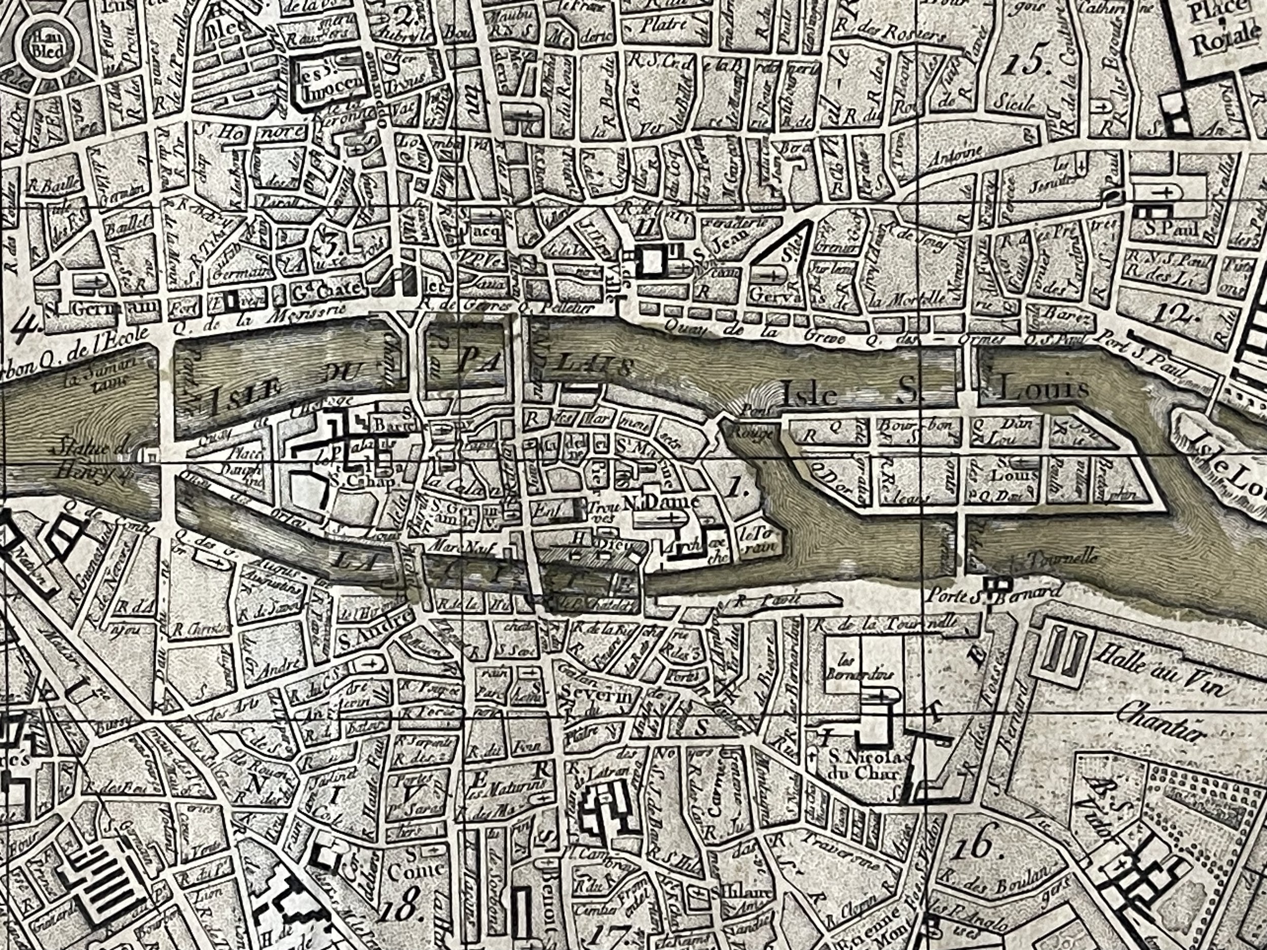
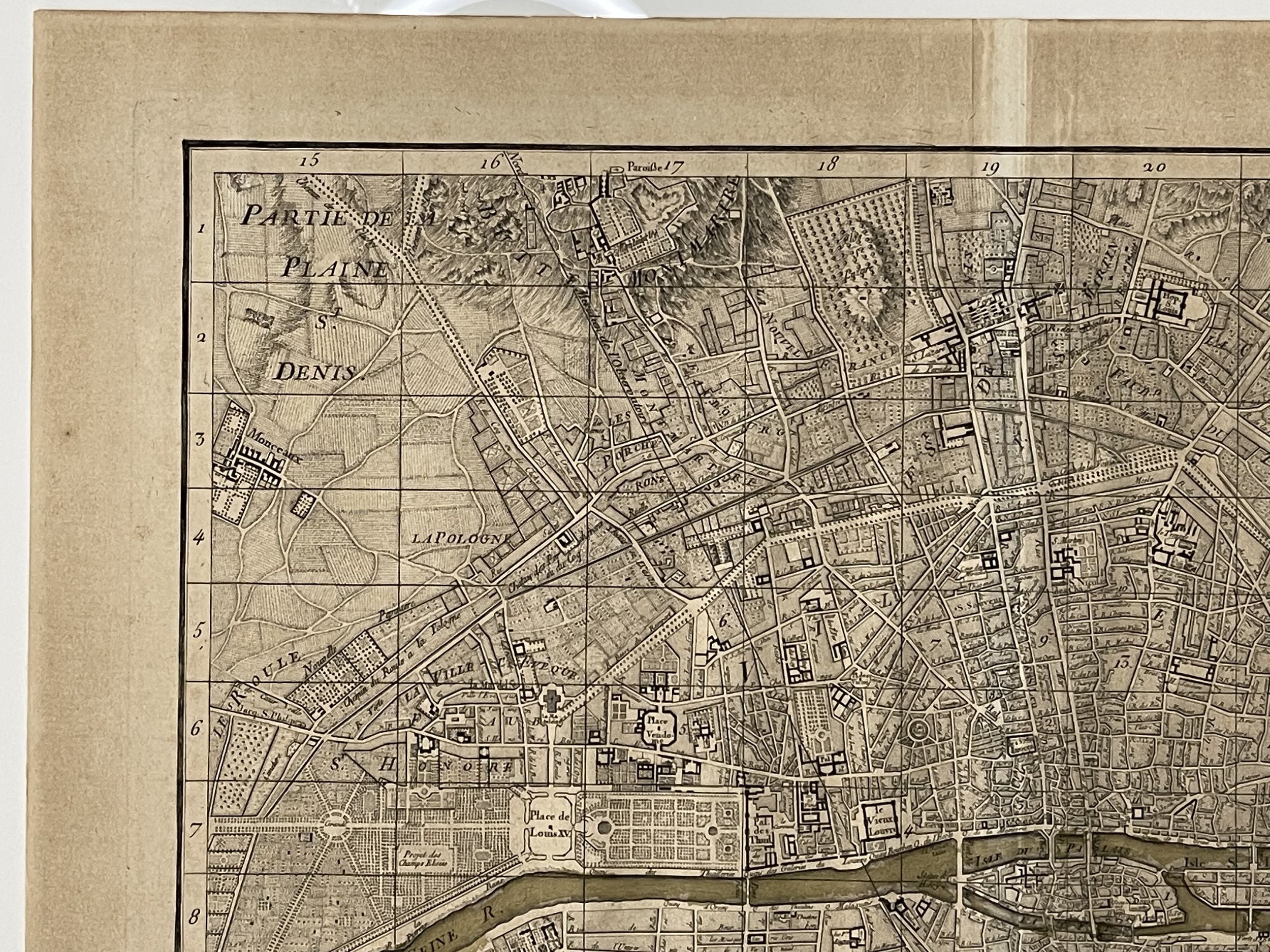
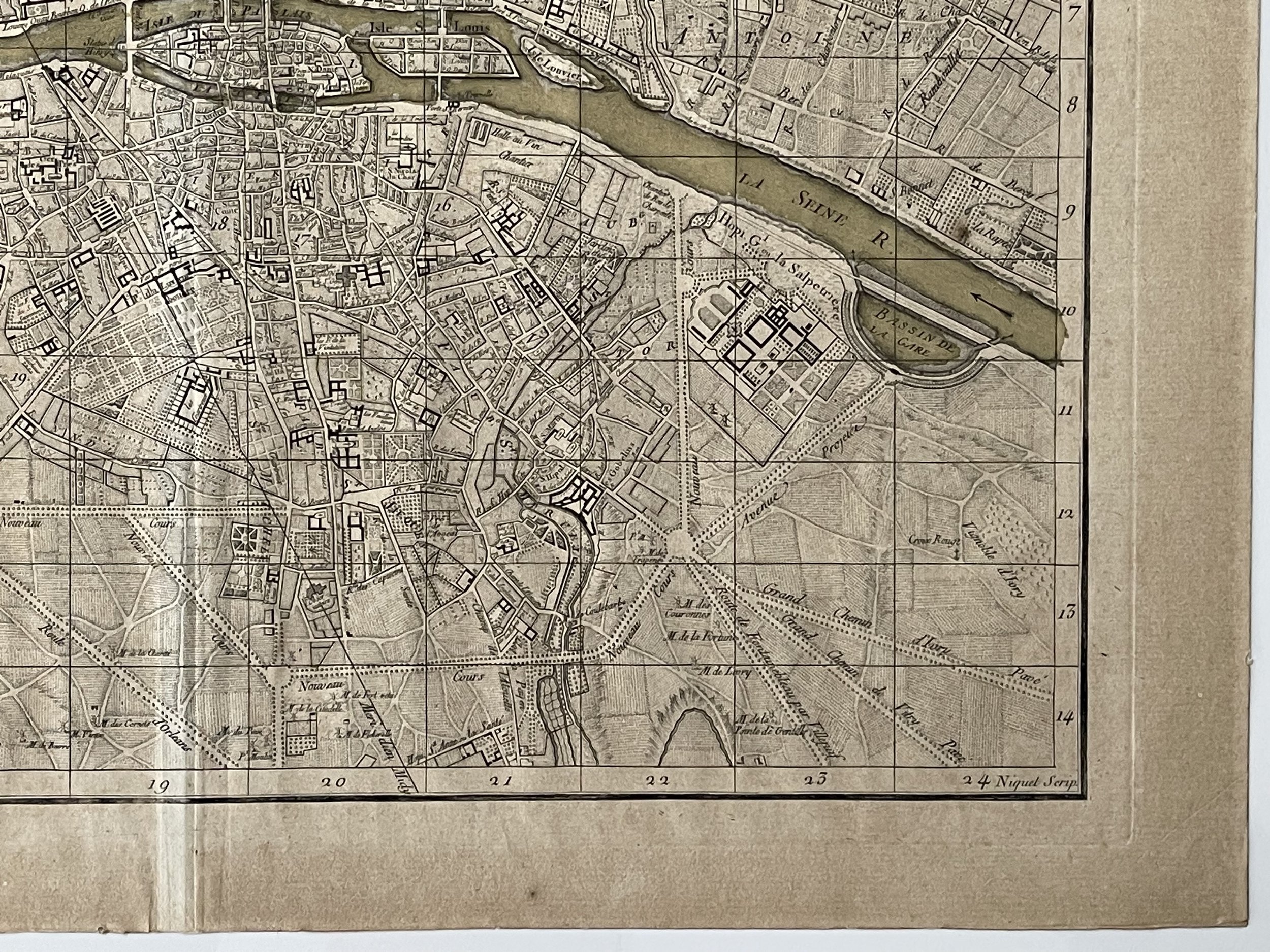
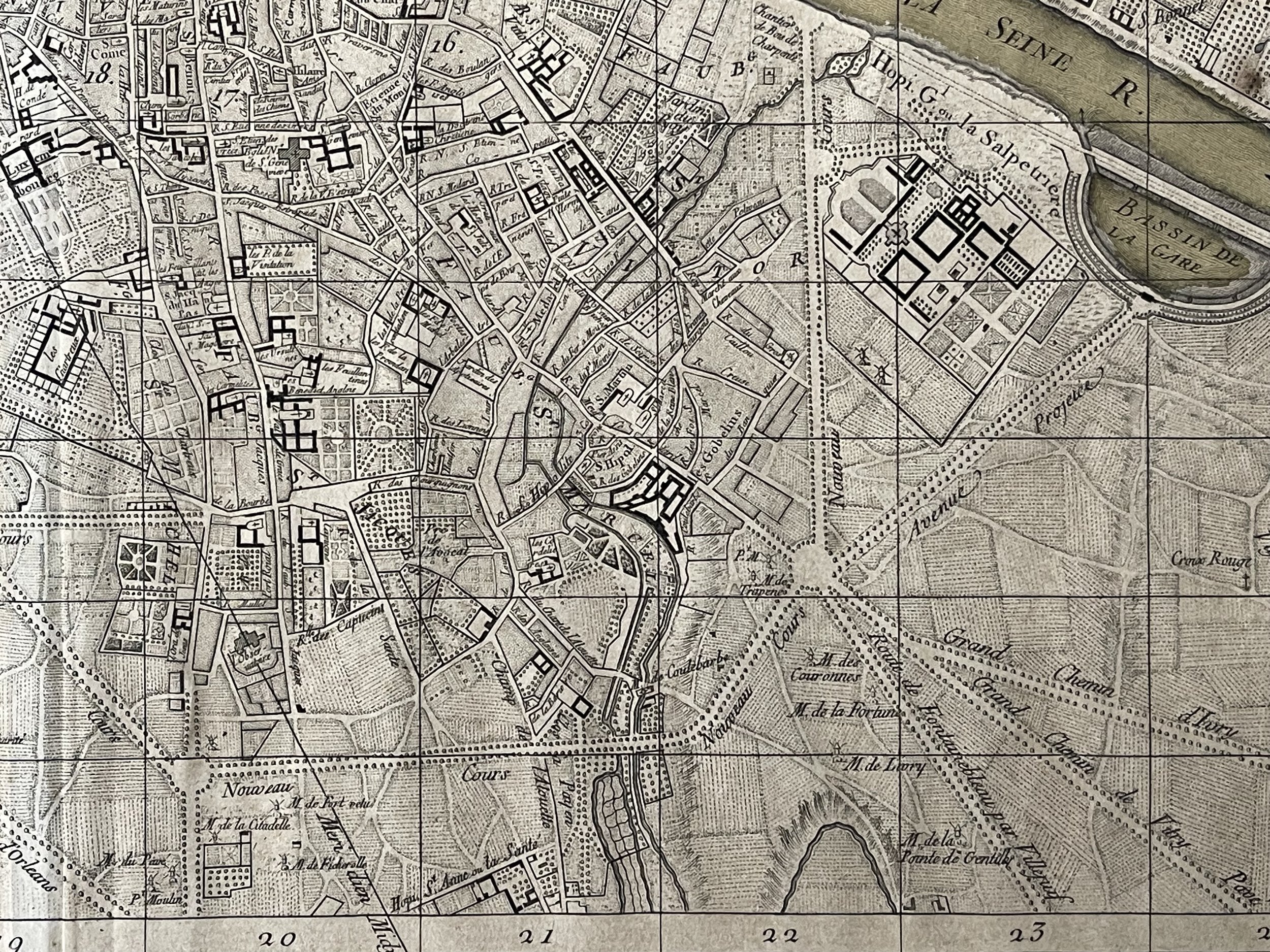
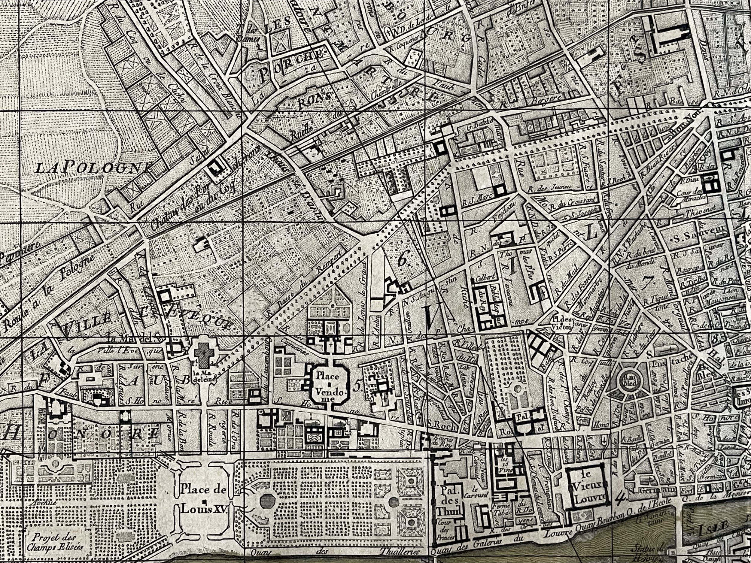
Plan général de la ville, cité, université et faubourgs de Paris divisé en vingt quartiers, fait pour servir à orienter les 35 feuilles du Grand Plan de Paris – Louis-François Deharme (Etcher) & Louis-Charles Desnos (instrument maker, cartographer and globe maker) (Paris) 1768.
Louis Charles Desnos (1725 - April 18, 1805) was a significant 18th century craftsman, mapmaker, and globe maker, operating out of Paris, France. He was born in Pont-Sainte-Maxence, Oise, France, as the son of a cloth merchant. Desnos completed an apprenticeship at a metal foundry in April of 1745. Later, he married the widow of Nicolas Hardy, who was the son of Jacques Hardy, a renowned dealer of maps, globes, and instruments. Desnos held the prestigious role of Royal Globemaker to Christian VII, King of Denmark, for which he received an annual stipend of 500 Livres. In return, he sent the King approximately 200 Livres worth of maps, books, and atlases each year. As a publisher, Desnos produced a large body of work, often in collaboration with Zannoni and Louis Brion de la Tour (1756-1823). However, his reputation amongst eminent cartographic experts was unsavoury as they believed him to be negligent and unprincipled in terms of what he chose to publish. As a result, Desnos was involved in numerous legal disputes with other cartographers and publishers in Paris during his career. He operated his business from Rue St. Jacques in Paris.
Plan of the city and fauxbourgs of Paris, divided into 20 districts, the majority of which has been rectified according to different geometrically surveyed designs. Paris, Sieur Desnos, 1768.
This plan of Paris, the first to be drawn on such a large scale is derived from the work and publications of Delagrive and earned Deharme the title of topographer to the king. From the collections of the publisher Desnos and which had served as illustrations for the Etrennes françoises of 1768.
Beautiful and rare map of Paris from the folio plan of Paris. Excellent condition with darkening due to age. Pricing and grading commensurate.
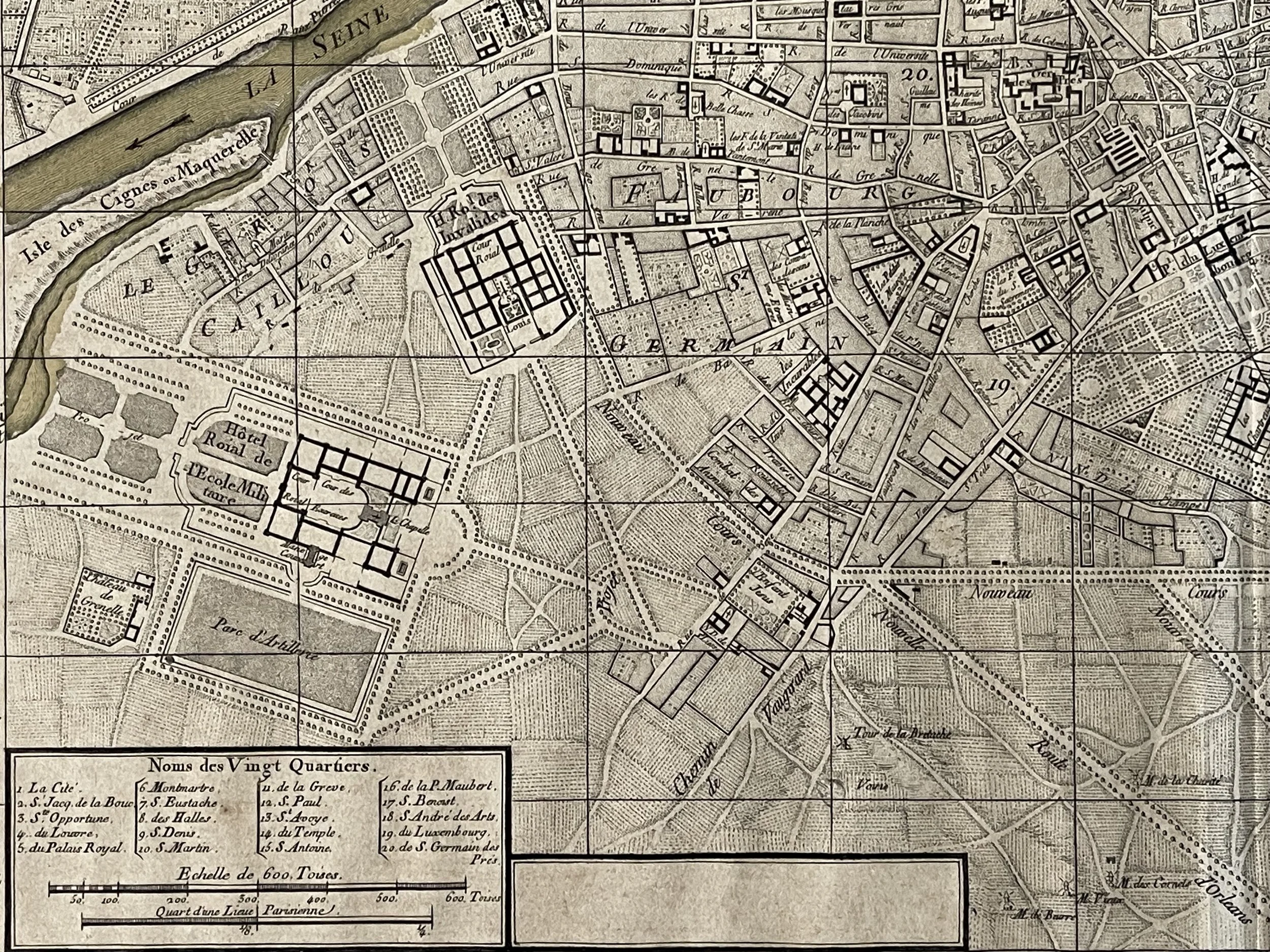
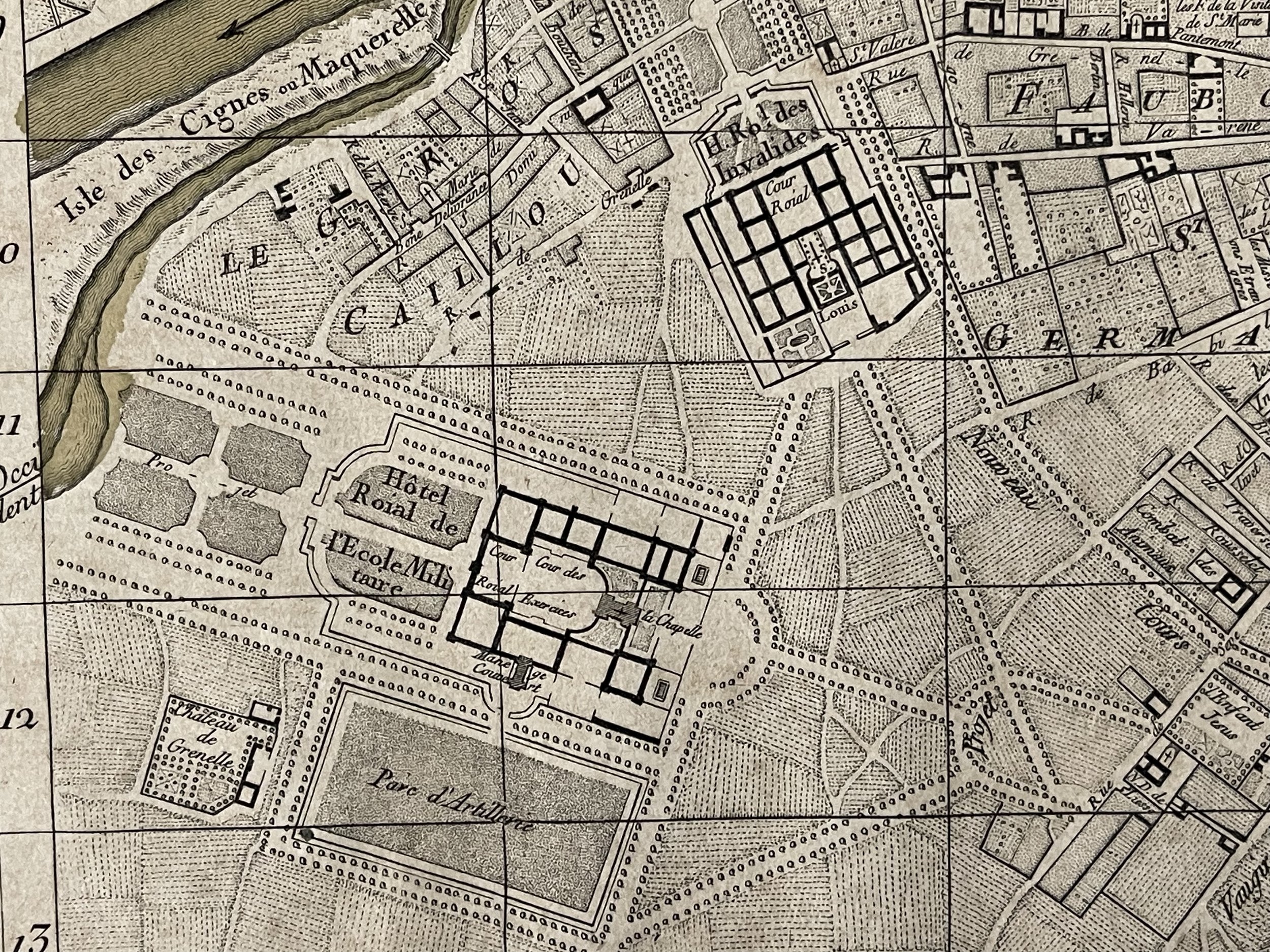
Code : A797
Cartographer : Cartographer / Engraver / Publisher: Deharme, Louis-François, Desnos, Louis-Charles
Date : Publication Place / Date - 1768
Size : Sheet size: approx 37 x 44 Cm
Availability : Available
Type - Genuine - Antique
Grading A
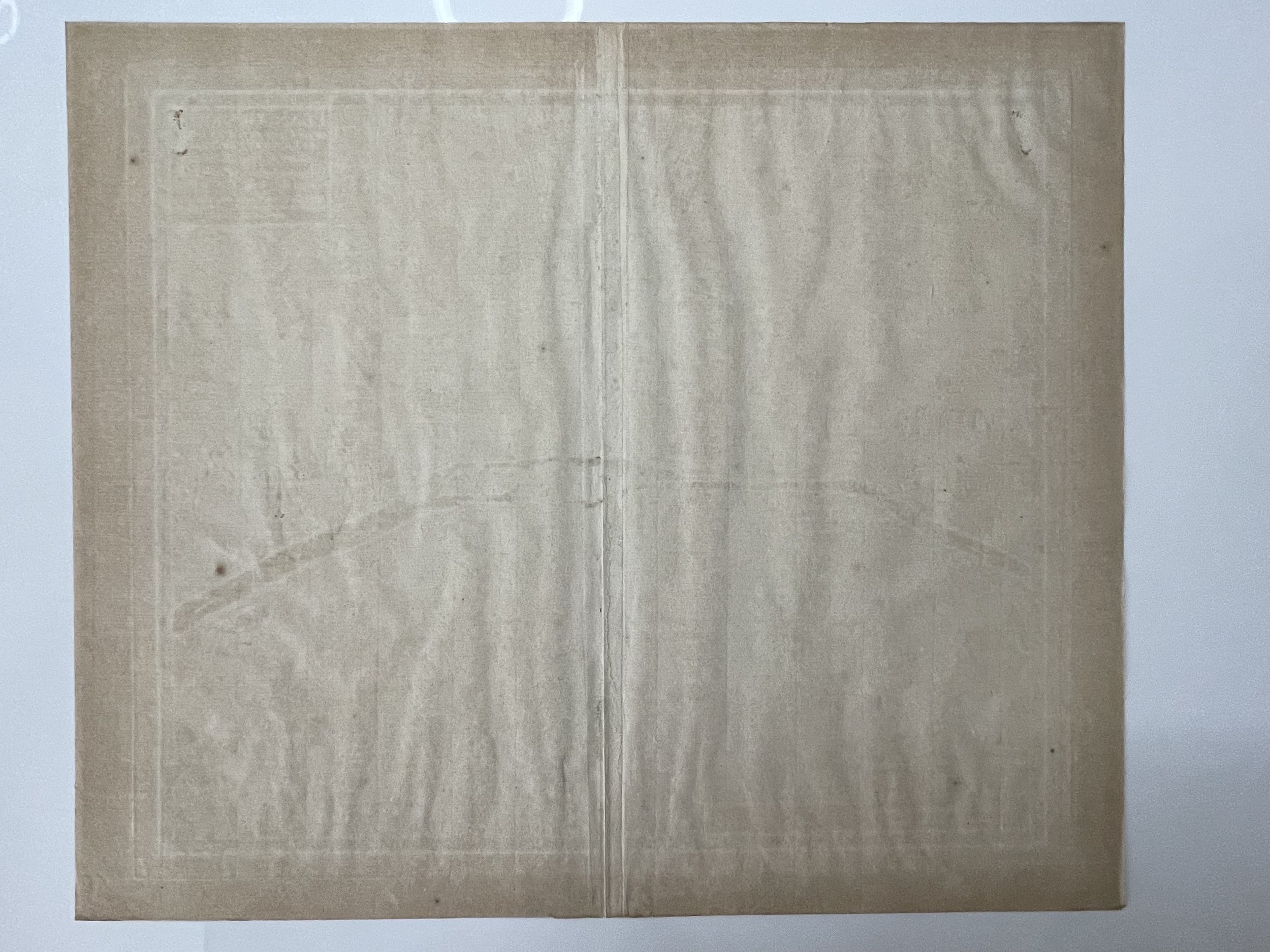
Where Applicable - Folds as issued. Light box photo shows the folio leaf centre margin hinge ‘glue’, this is not visible otherwise.
Tracked postage, in casement. Please contact me for postal quotation outside of the UK.