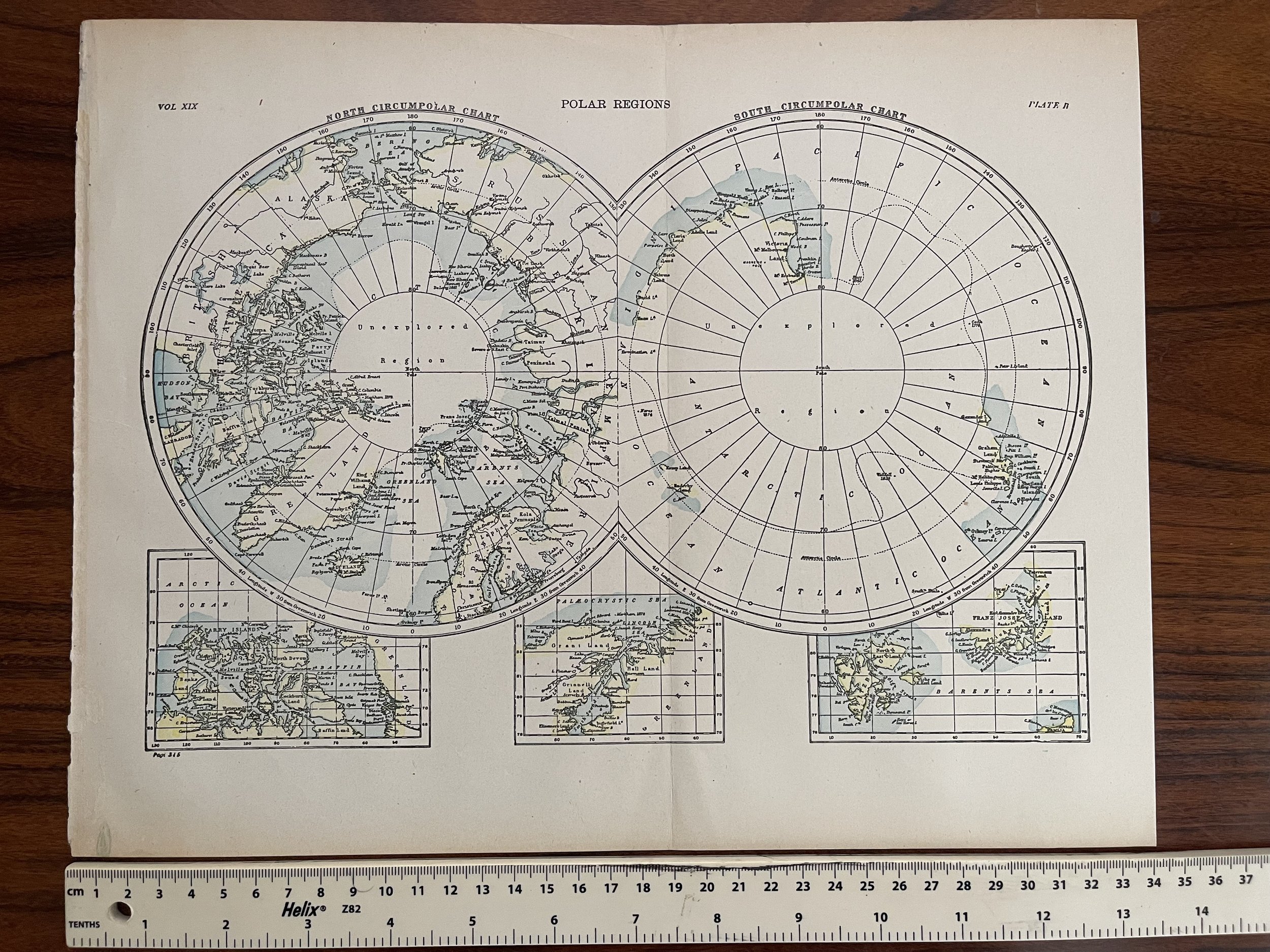
Polar Regions. North South Poles. Encyclopedia Britannica - Edinburgh: Adam & Charles Black 1898
POLAR REGIONS. North South Poles; Baffin land; Greenland; Barents sea. 1898 map - Date Printed: 1898
IMAGE SIZE: Approx 26.0 x 37.0cm, 10.25 x 14.5 inches; Please note that this is a folding map.
ARTIST/CARTOGRAPHER/ENGRAVER: Britannica, Encyclopaedia
PROVENANCE: "The Encyclopaedia Britannica"; Published by Edinburgh: Adam & Charles Black, London; 9th Edition [Encyclopaedia Britannica]
Code : A41
Cartographer : Cartographer / Engraver / Publisher: Edinburgh: Adam & Charles Black
Date : 1898 Approx
Size : Sheet size: 26.0 x 37.0cm, 10.25 x 14.5 inches
Availability : Available
Type - Genuine Antique
Grading - A-

