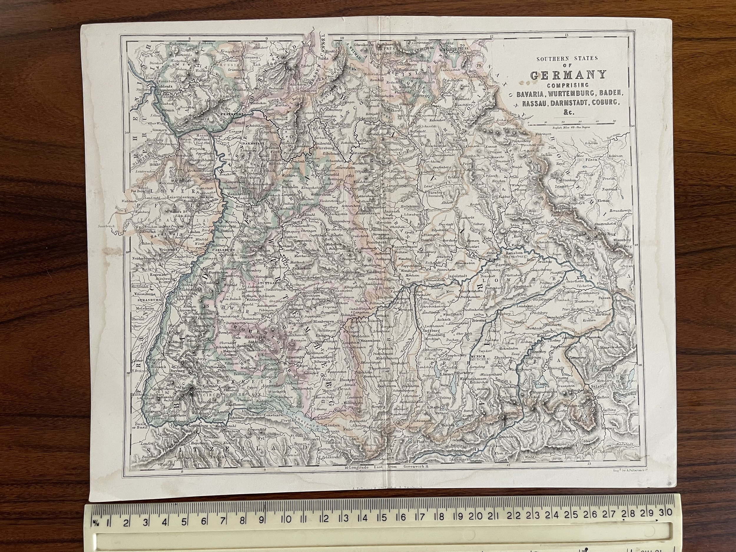
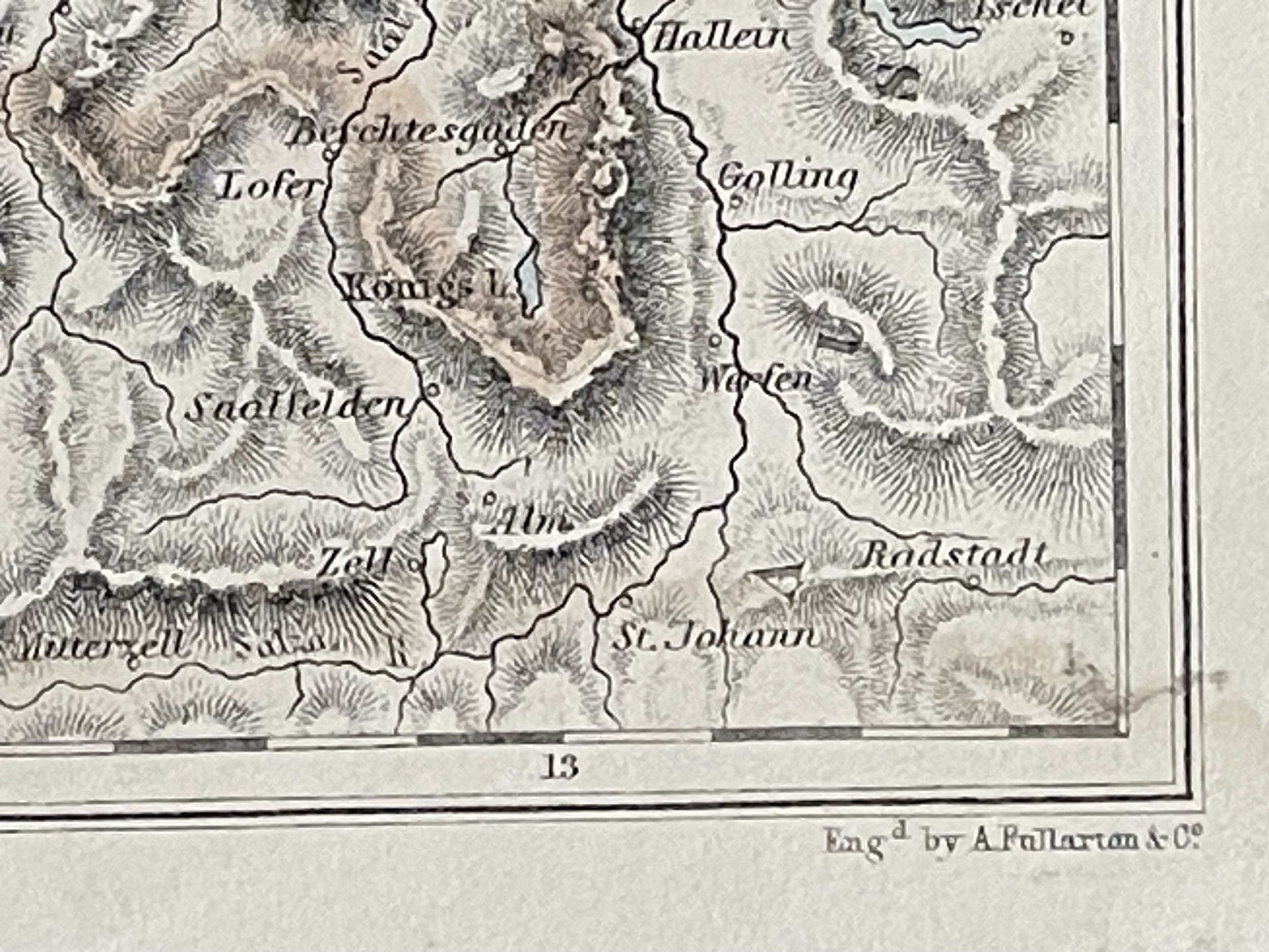
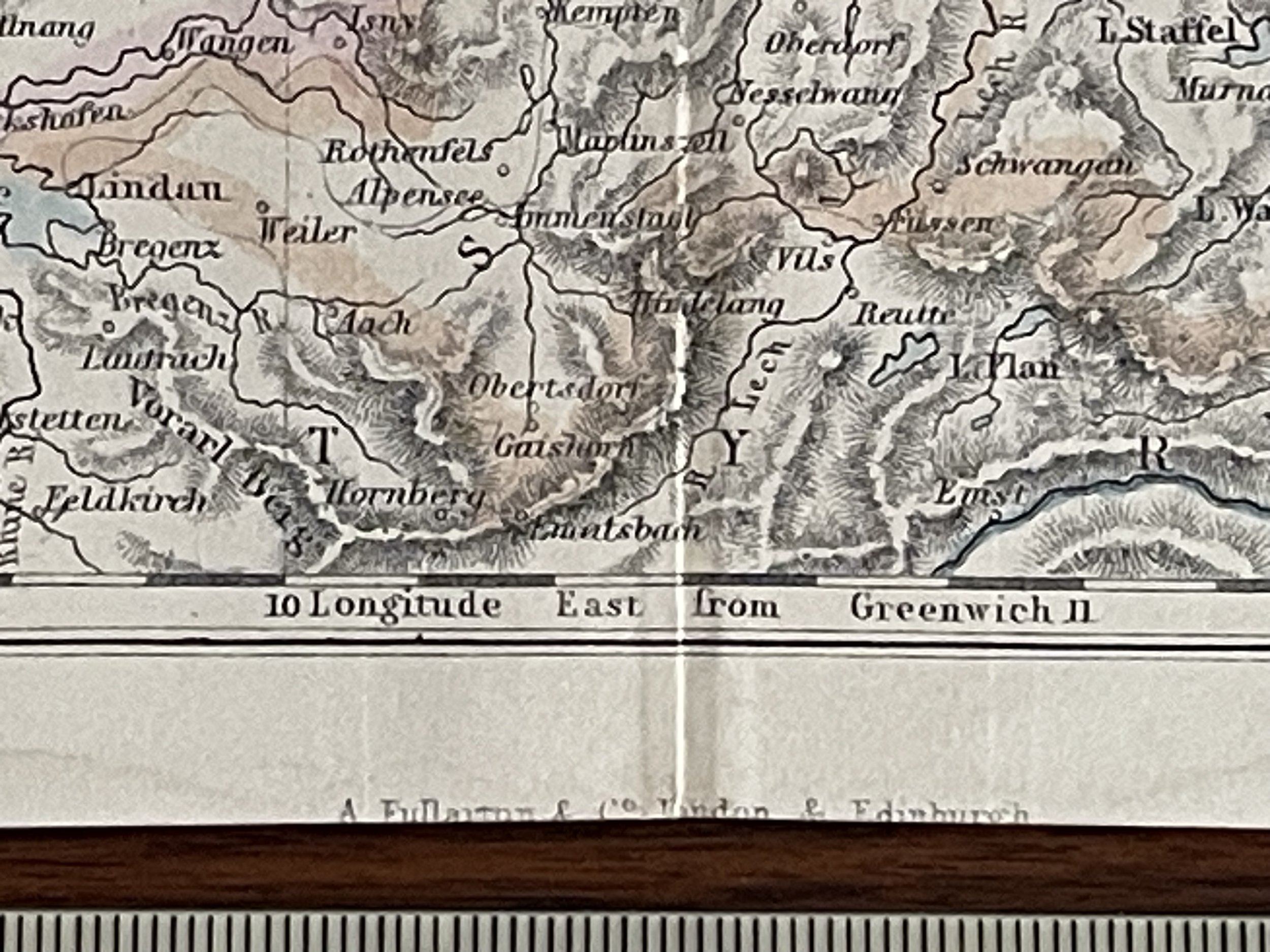
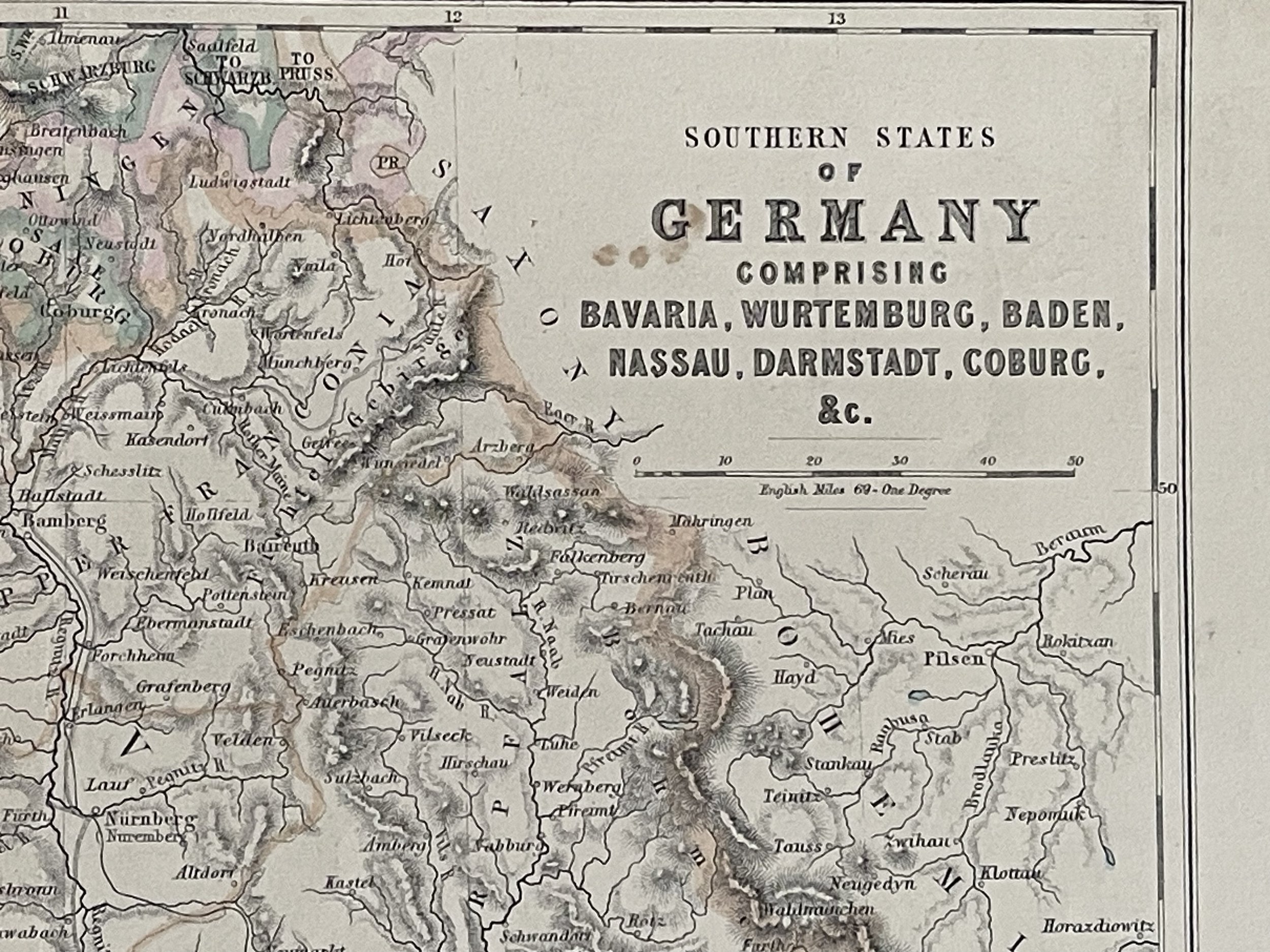
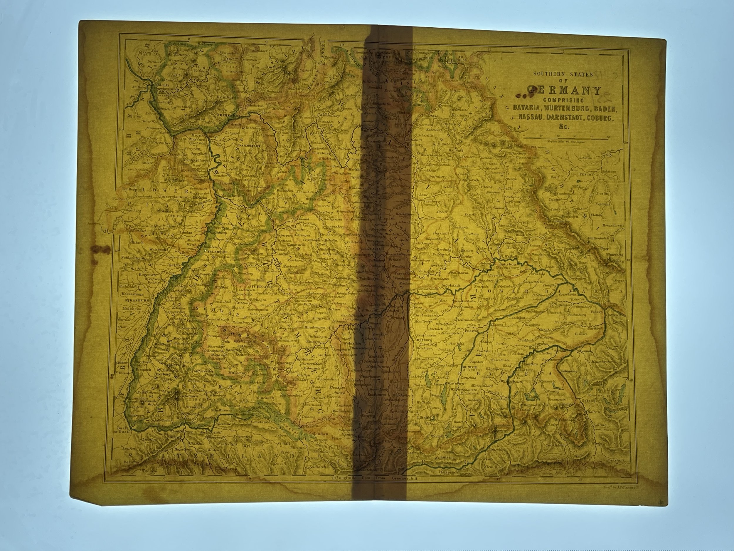
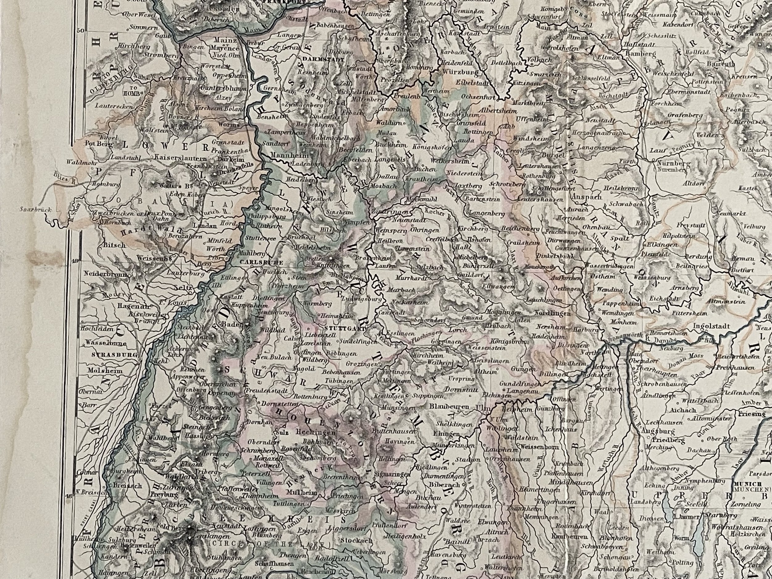
Southern States of Germany Comprising Bavaria, Wurtemburg, Baden, Nassau, Darmstadt, Coburg & C - Archibald Fullarton and Co. - 1856
Map of the Southern States of Germany Comprising Bavaria, Wurtemburg, Baden, Nassau, Darmstadt, Coburg & C. (Book Plate)
Archibald Fullarton and Co.
Was a prominent publisher in Glasgow in the 1800s, and maintained a prodigious output of books, atlases and maps. The company produced the last maps to boast decorative vignettes, often done by George Heriot Swanston, the Scottish cartographer and engraver. Fullarton was in partnership with John Blackie in Glasgow until 1831, when the stock, plant and agencies were equally shared out. Fullarton's Parliamentary Gazetteer of England and Wales, was a set of finely engraved maps of the counties, recording the changes brought about by the Great Reform Bill, which was the basis of Britain's modern parliamentary constituencies, and went through a large number of editions. Some maps were engraved by Robert Scott, who made use of vignette views to decorate the map border. Another monumental work by the firm was the Royal Illustrated Atlas.
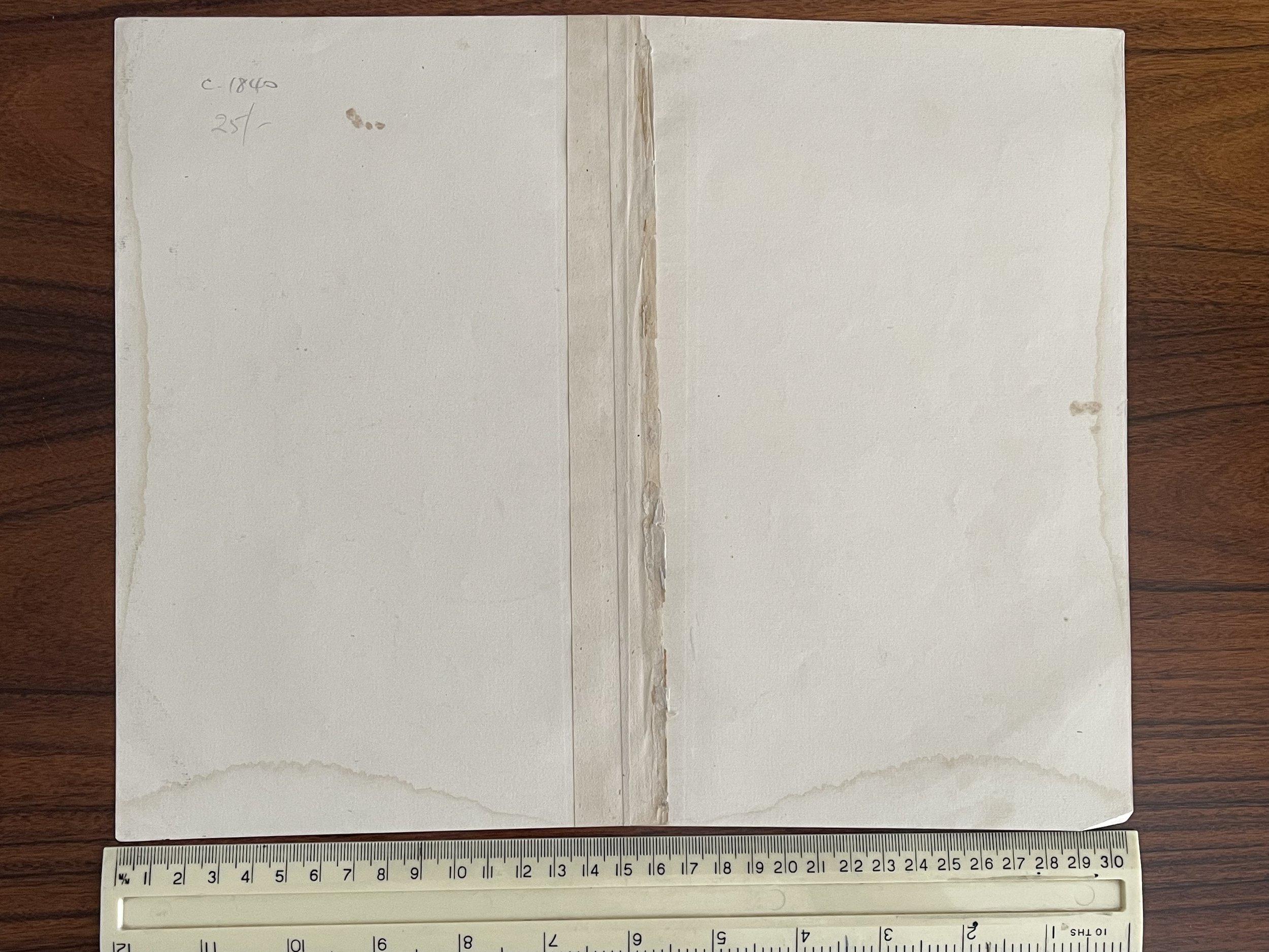
Minor foxing / staining in the borders.
Code : A209
Cartographer : Cartographer / Engraver / Publisher: A Fullarton
Date : Publication Place / Date - 1856
Size : Sheet size: Image Size: 30.5 x 25 cm
Availability : Available
Type - Genuine - Antique
Grading A-
Where Applicable - Folds as issued. Light box photo shows the folio leaf centre margin hinge ‘glue’, this is not visible otherwise.
Tracked postage, in casement. Please contact me for postal quotation outside of the UK.
