Suez Canal - Tourist Map & Notes - Oriental Commercial Bureau, Port Said - August Rüsenberg - 1927
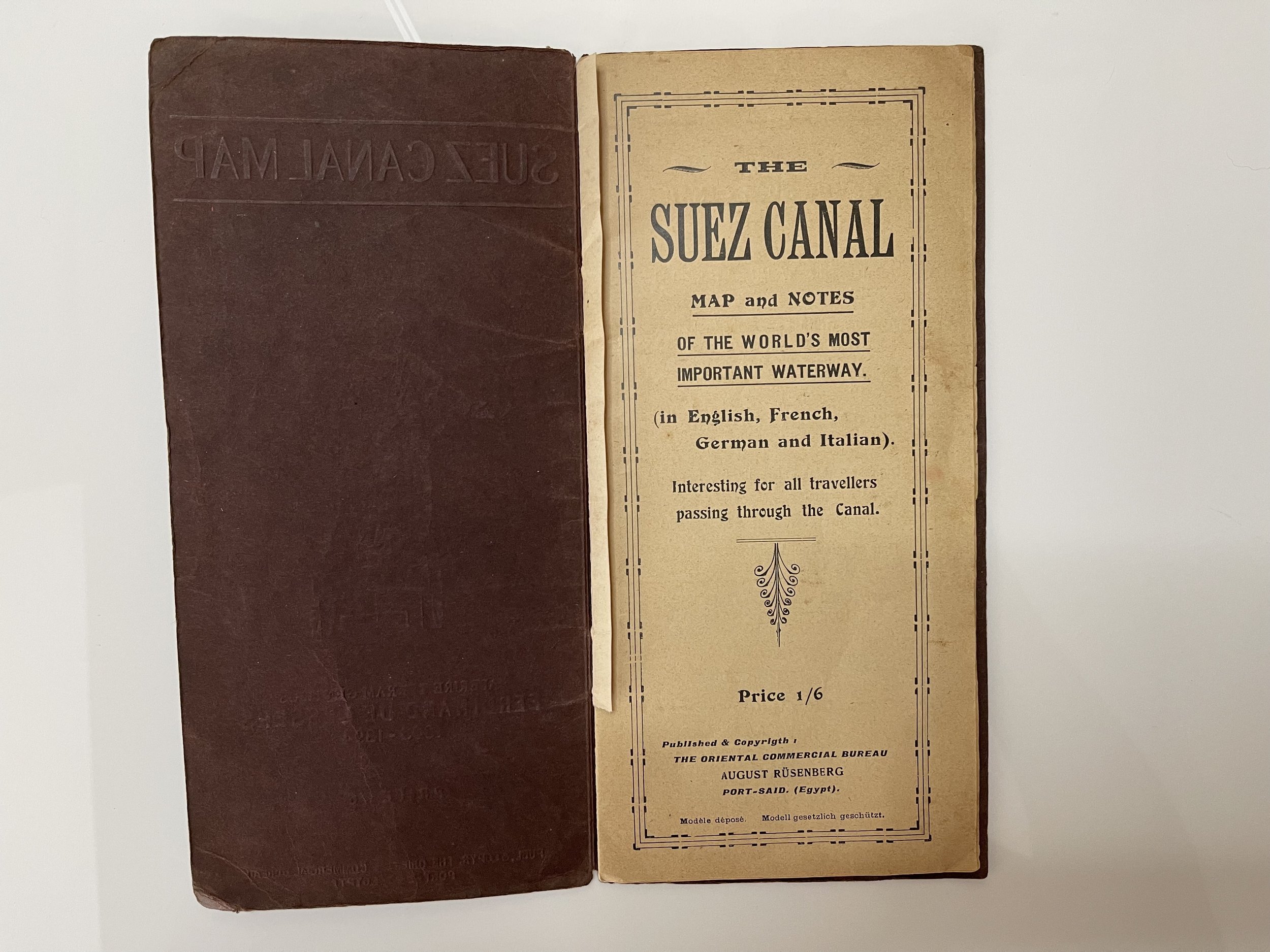
The Suez Canal - Map and Notes - Circa 1927 - Possibly First Edition.
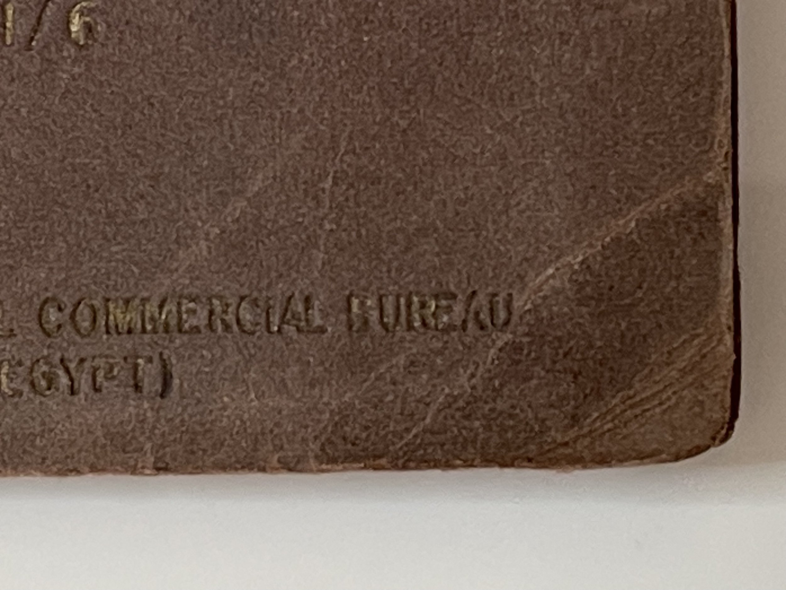
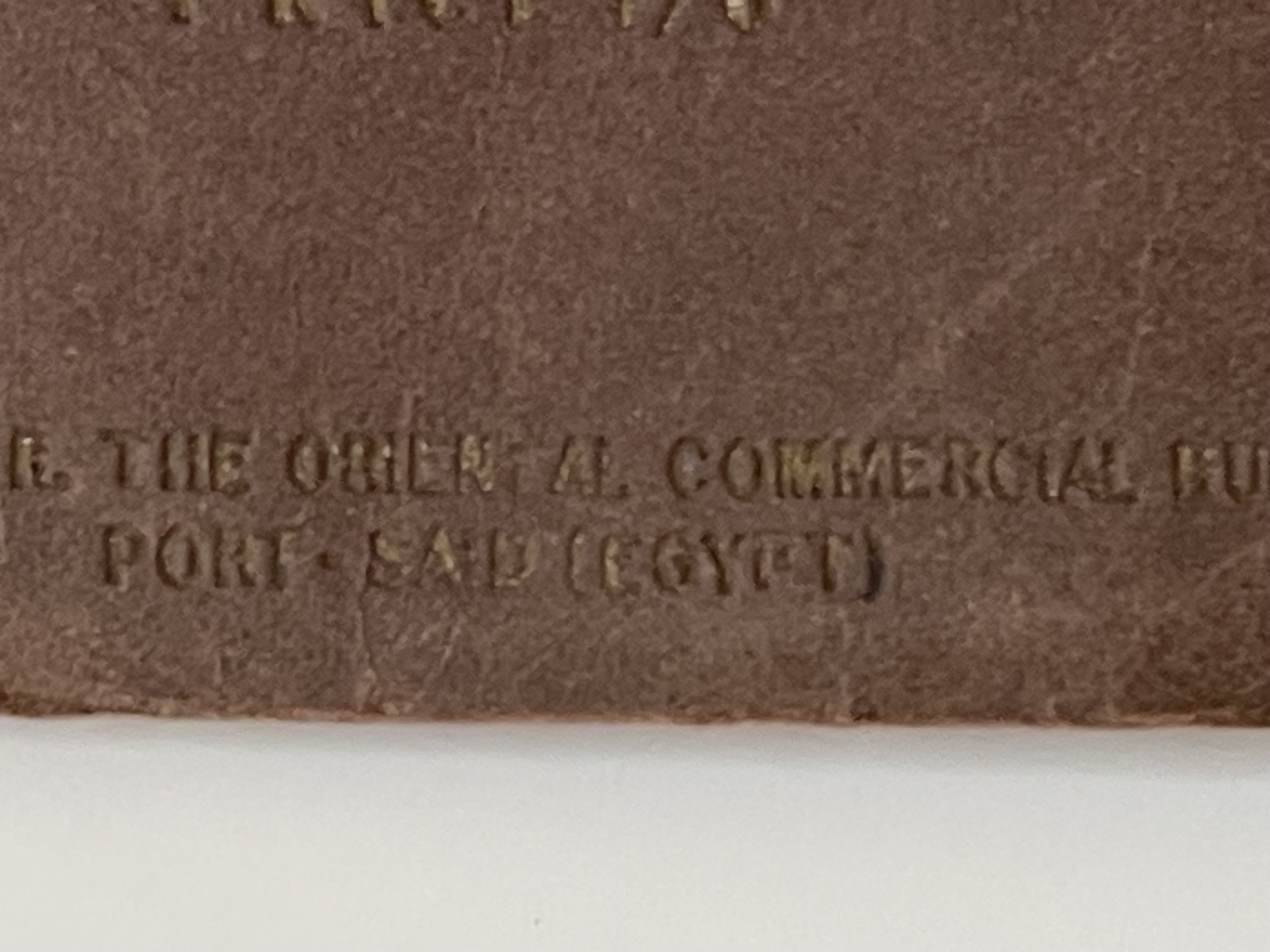
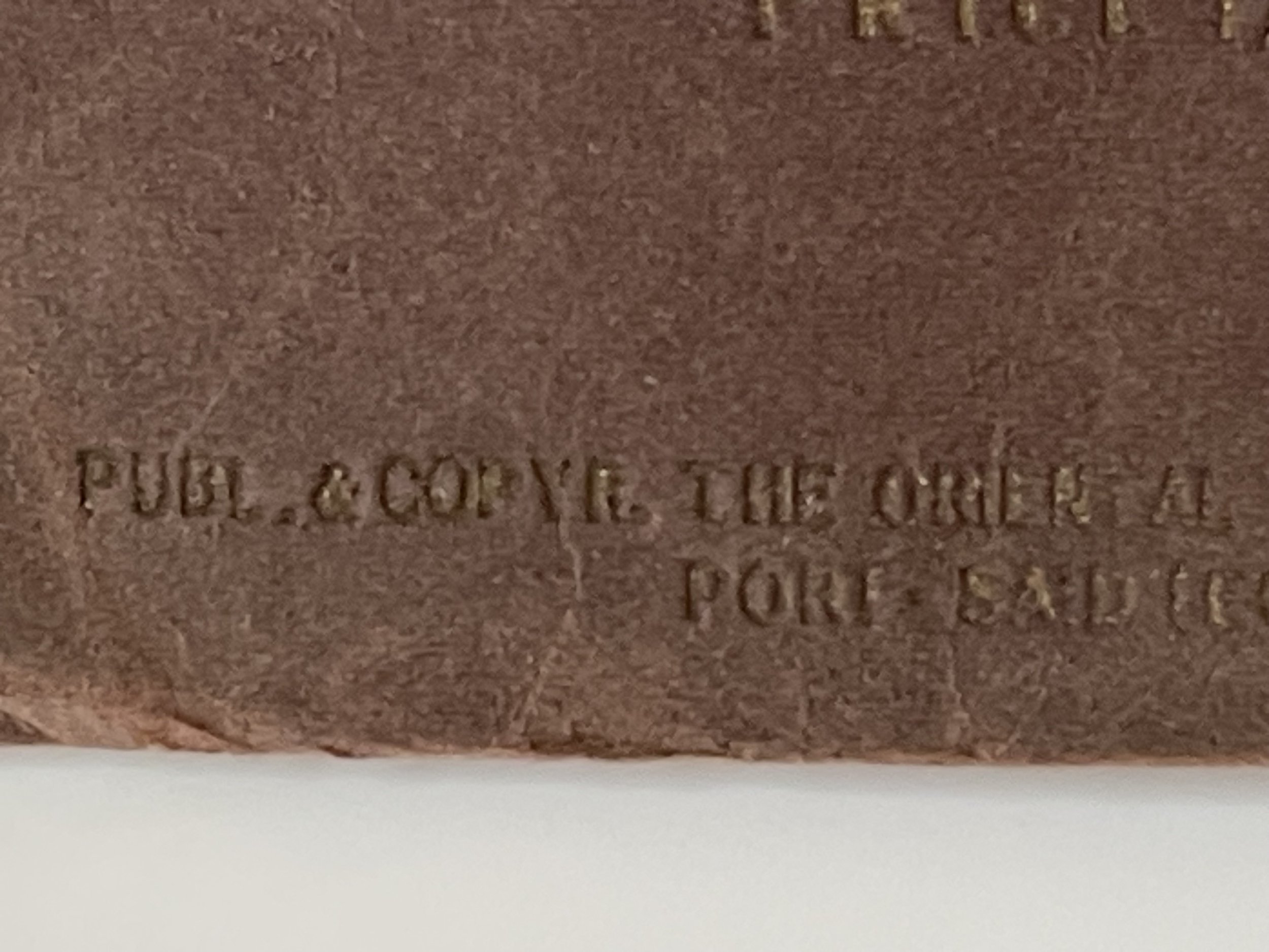
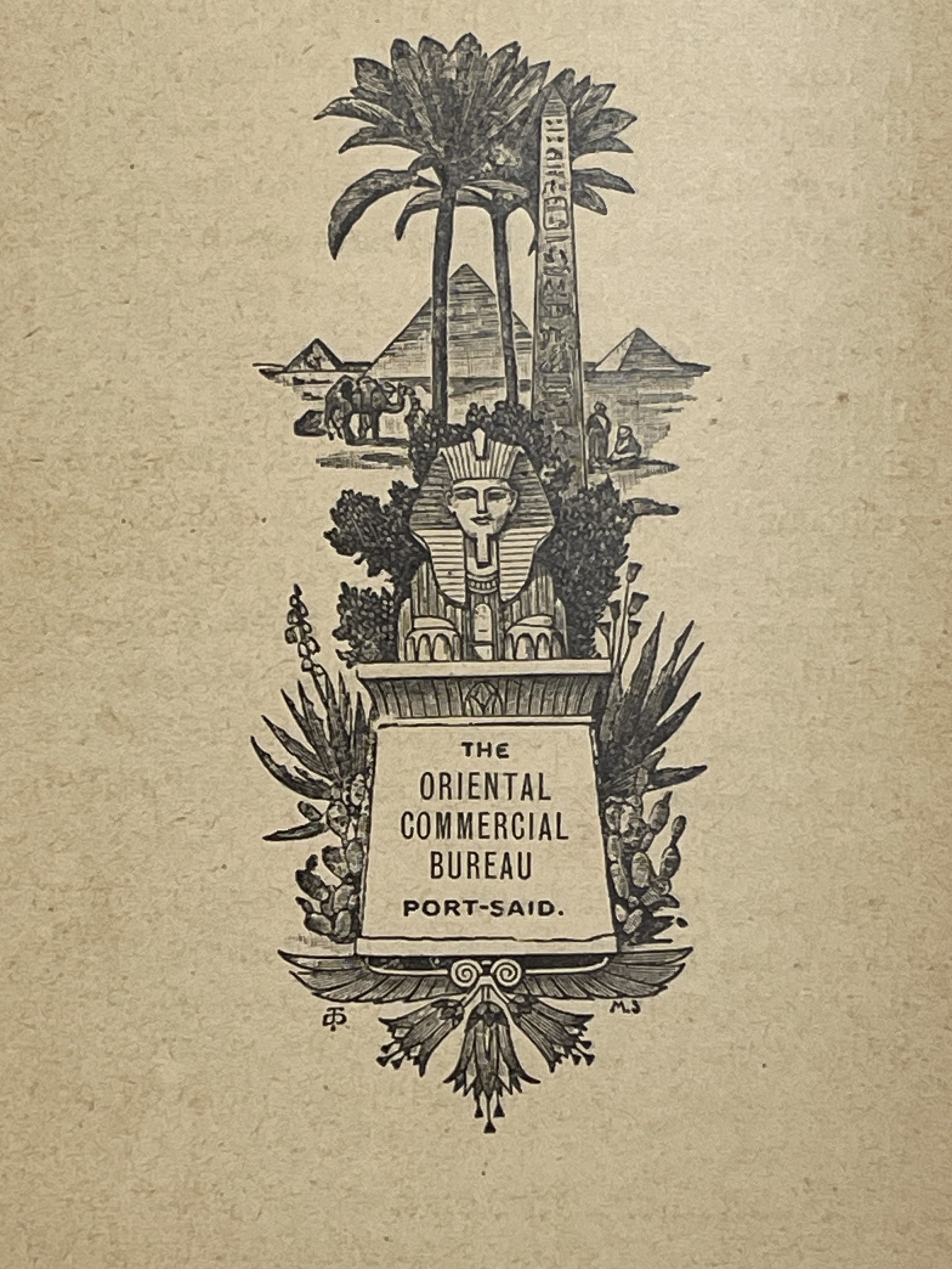
Published by the Oriental Commercial Bureau, Port Said - August Rüsenberg
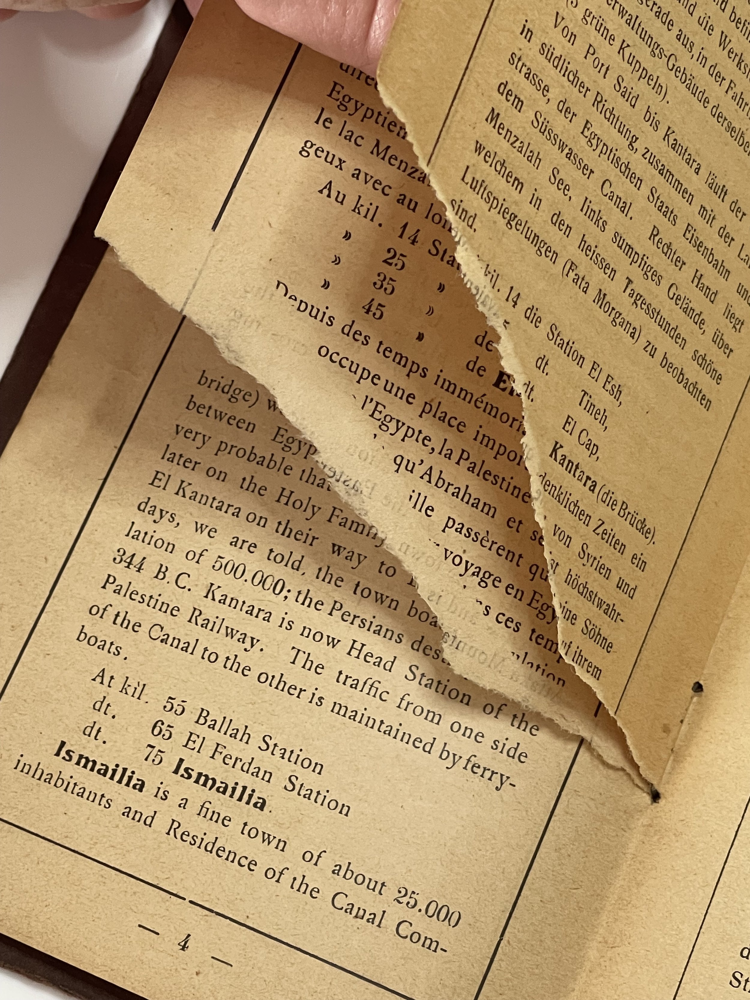
It looks as thought their was a ticket attached to the booklet as there is a redundant seam inside the first page. One small ink scribe to the bottom right side of the map border that isn’t affecting the map itself. Pages 5-8 has the bottom third portion missing (see photo).
Pre WW2 and a hard to locate guide that was published in 1927 and contains detailed maps and notes of the Suez Canal, which was at that time the most important waterway in the world. The book is in good fair but the important part (the map) is in excellent condition and has been well-preserved.
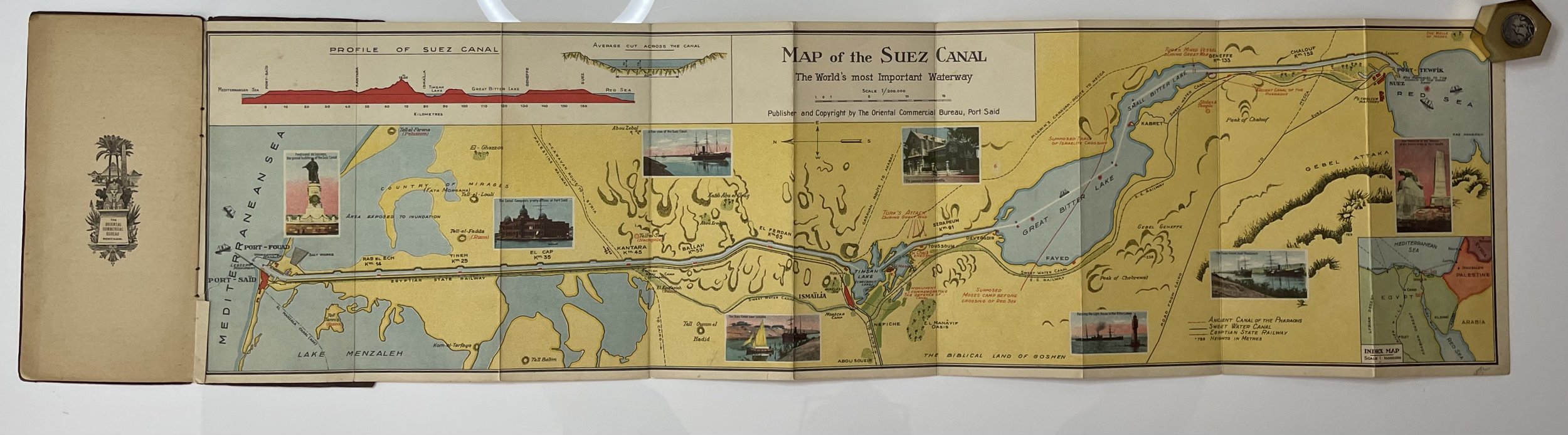
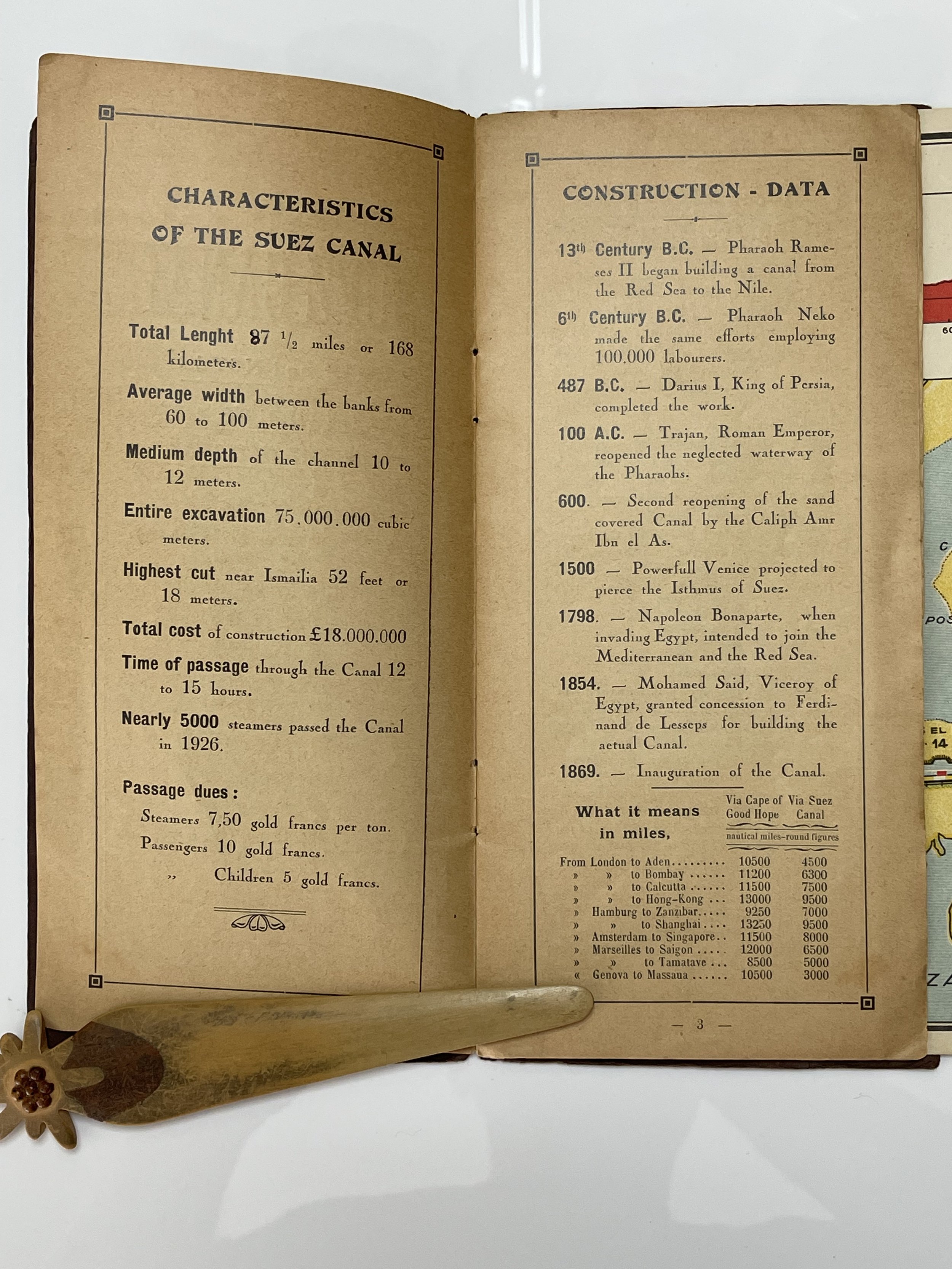
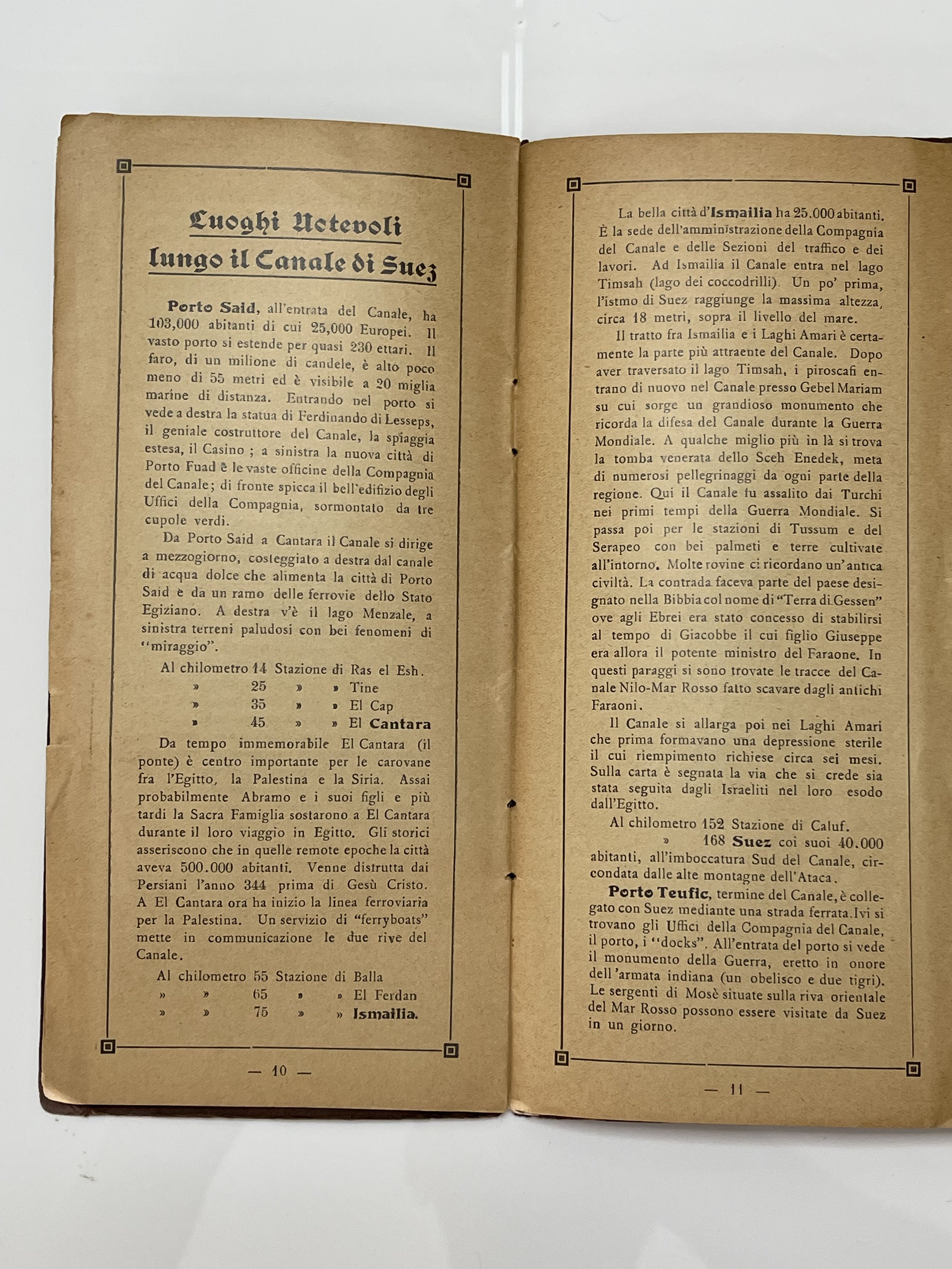
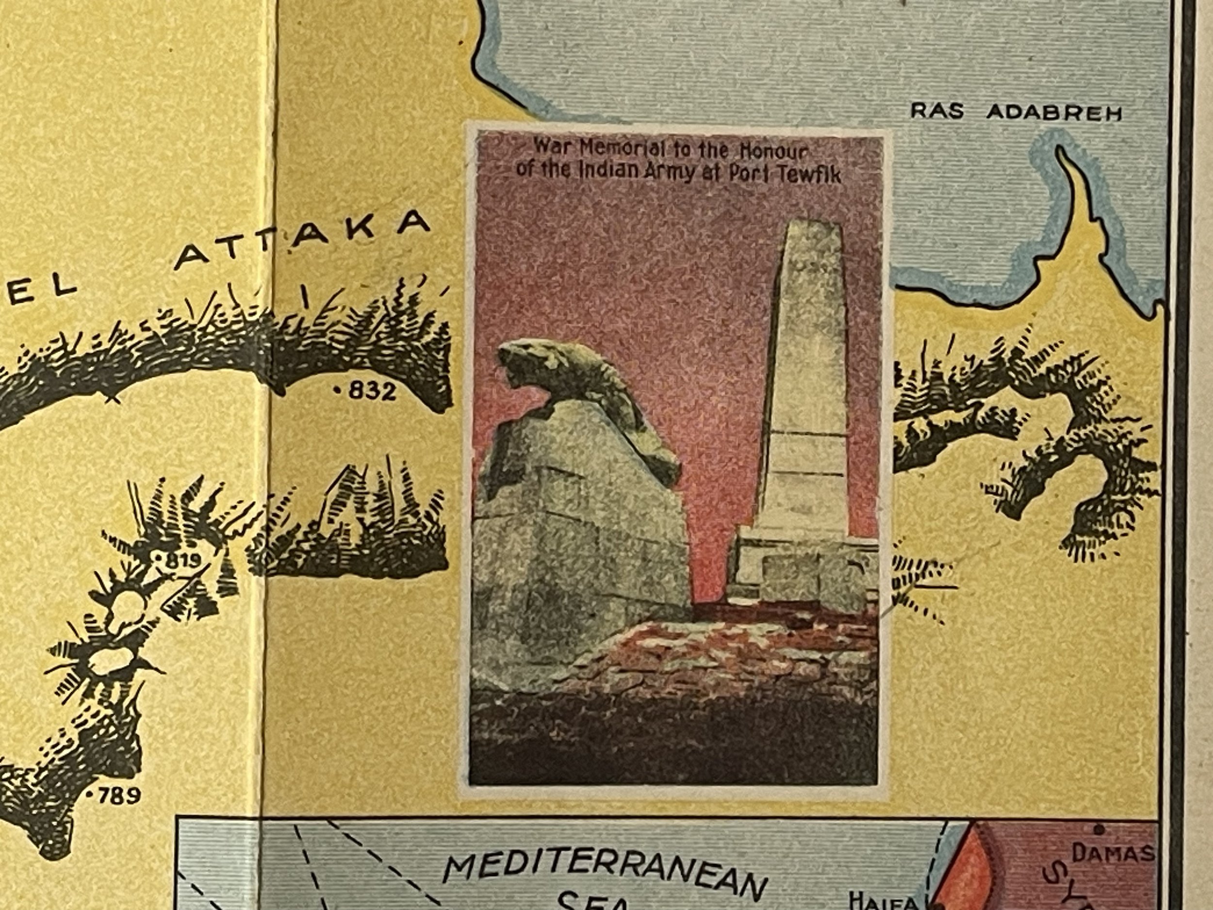
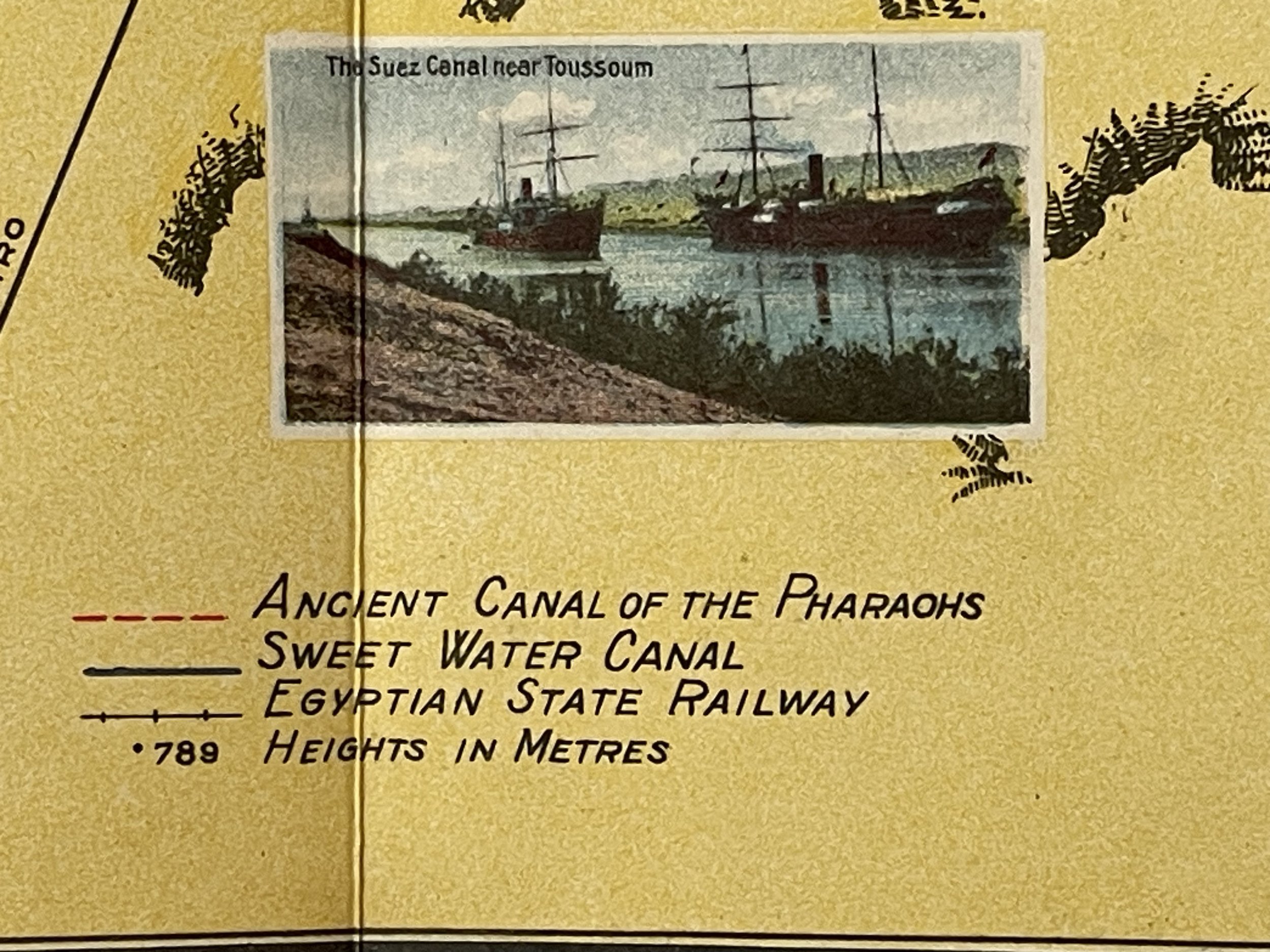
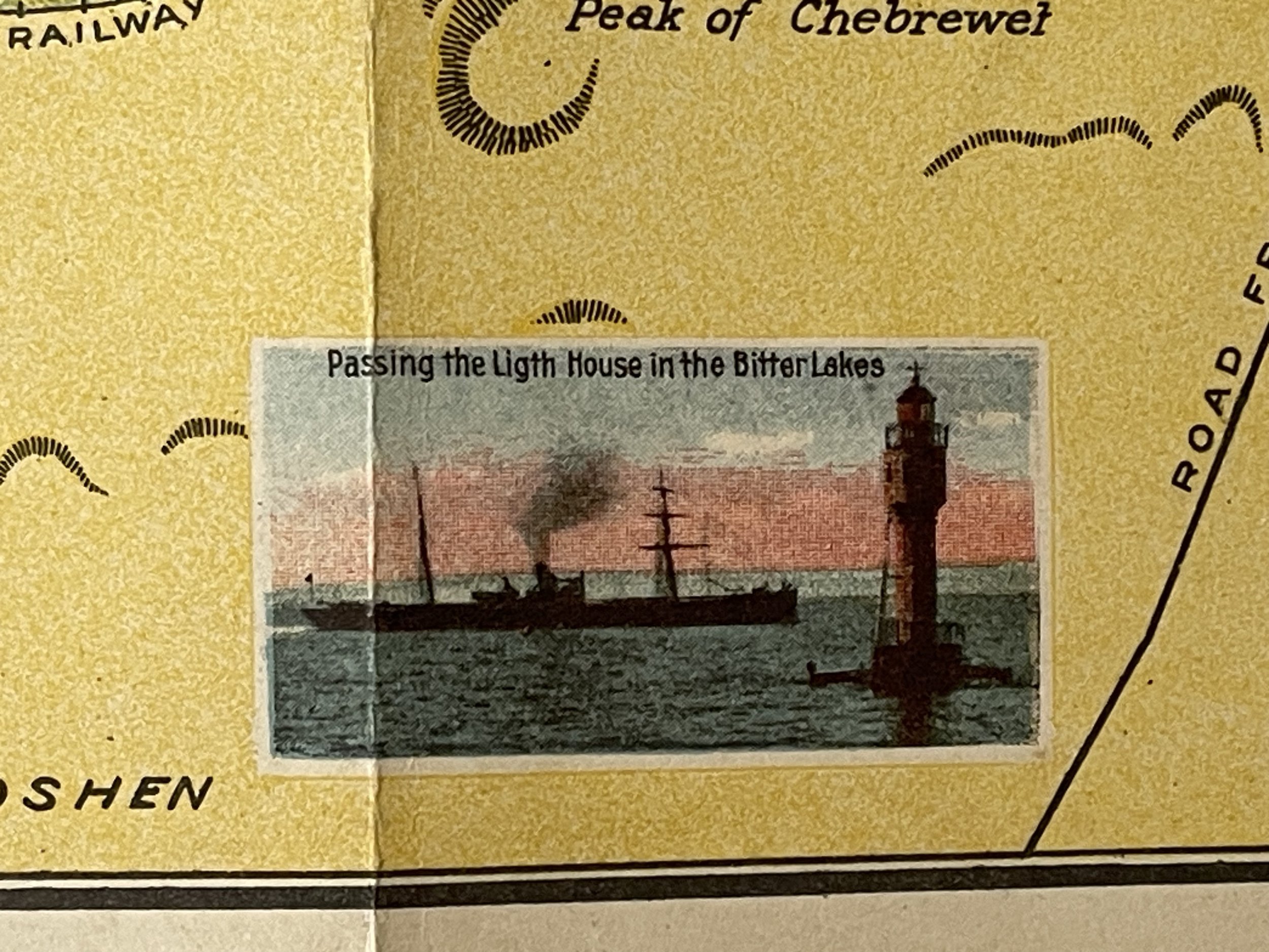
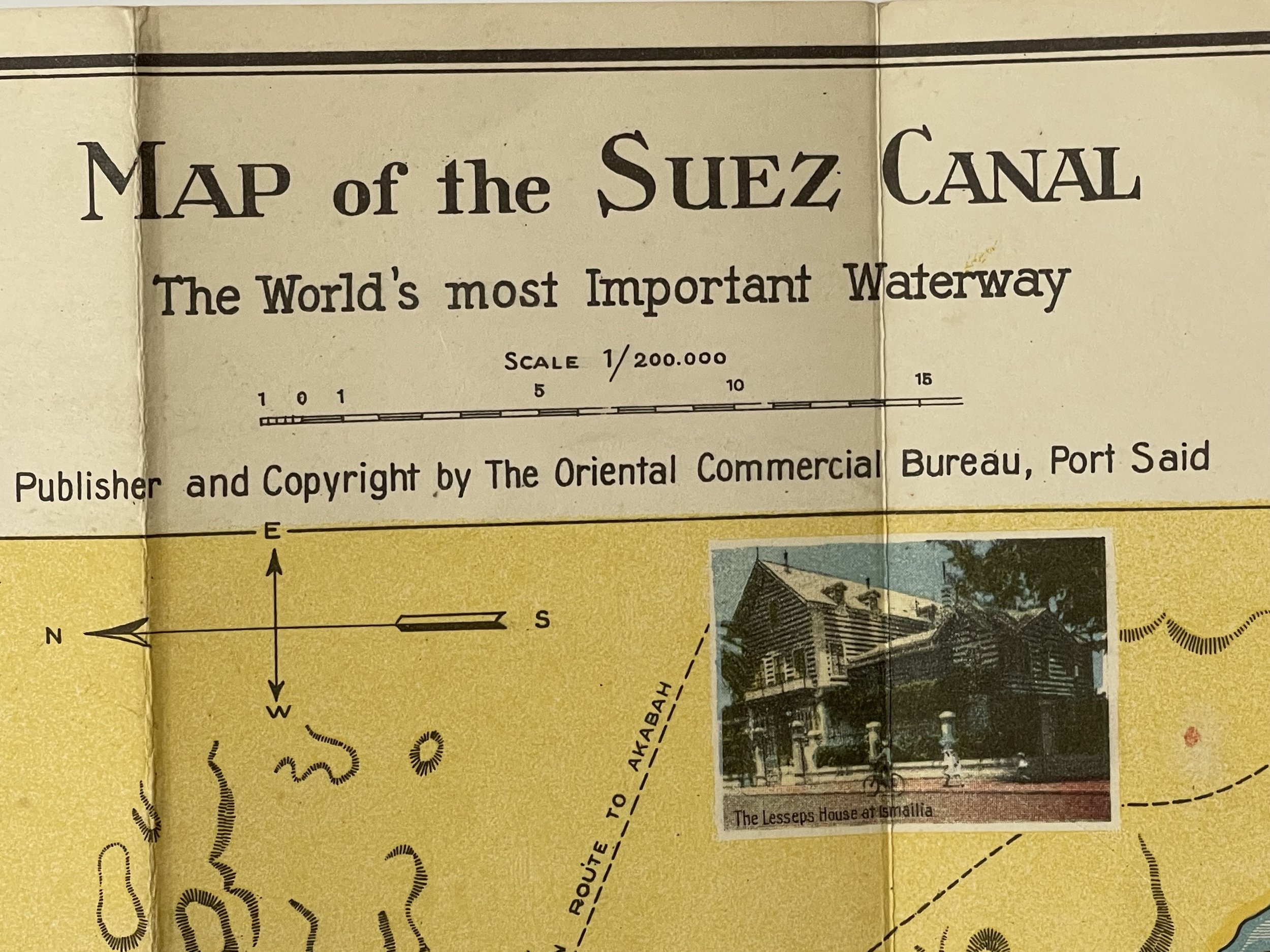
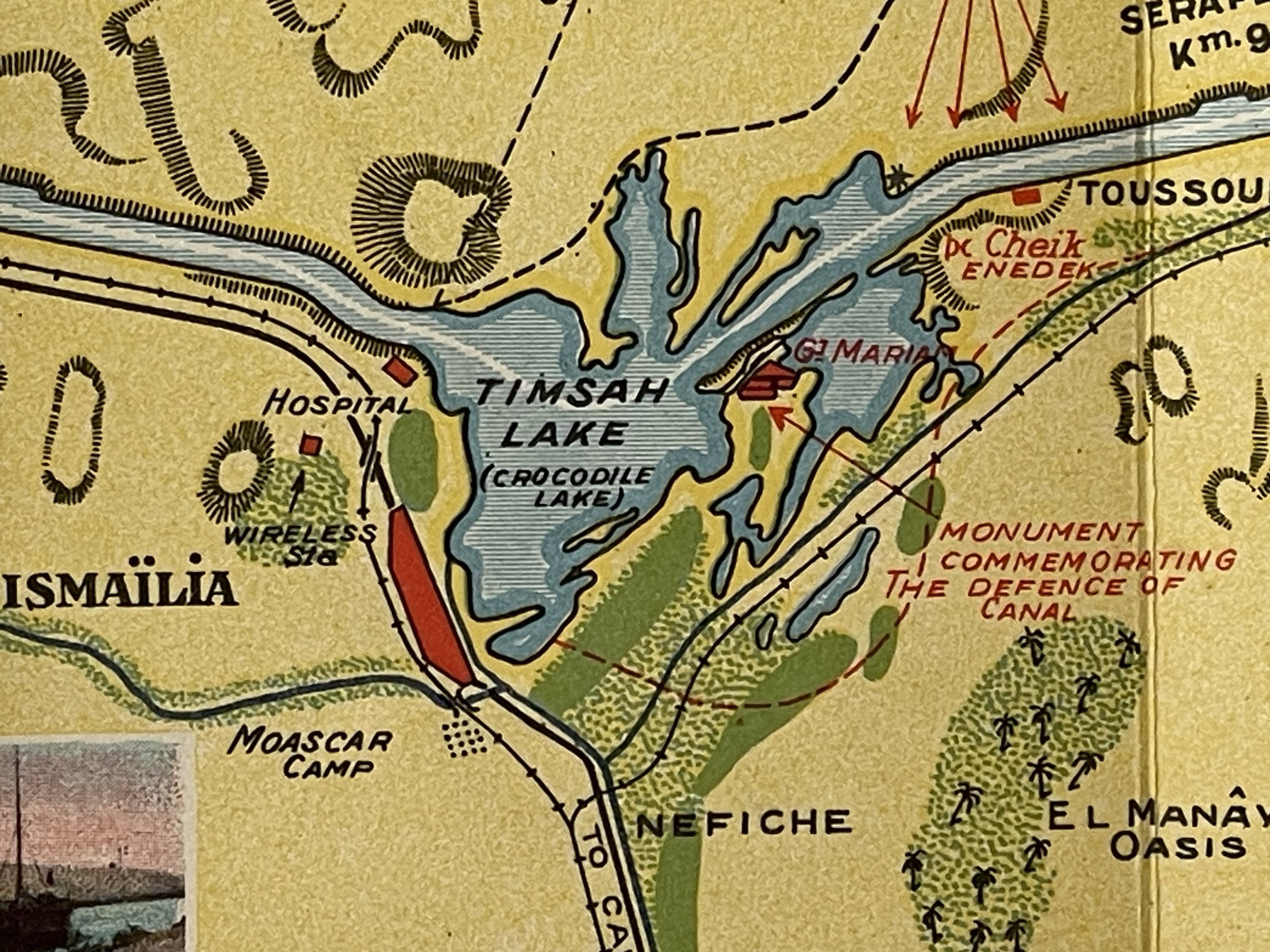
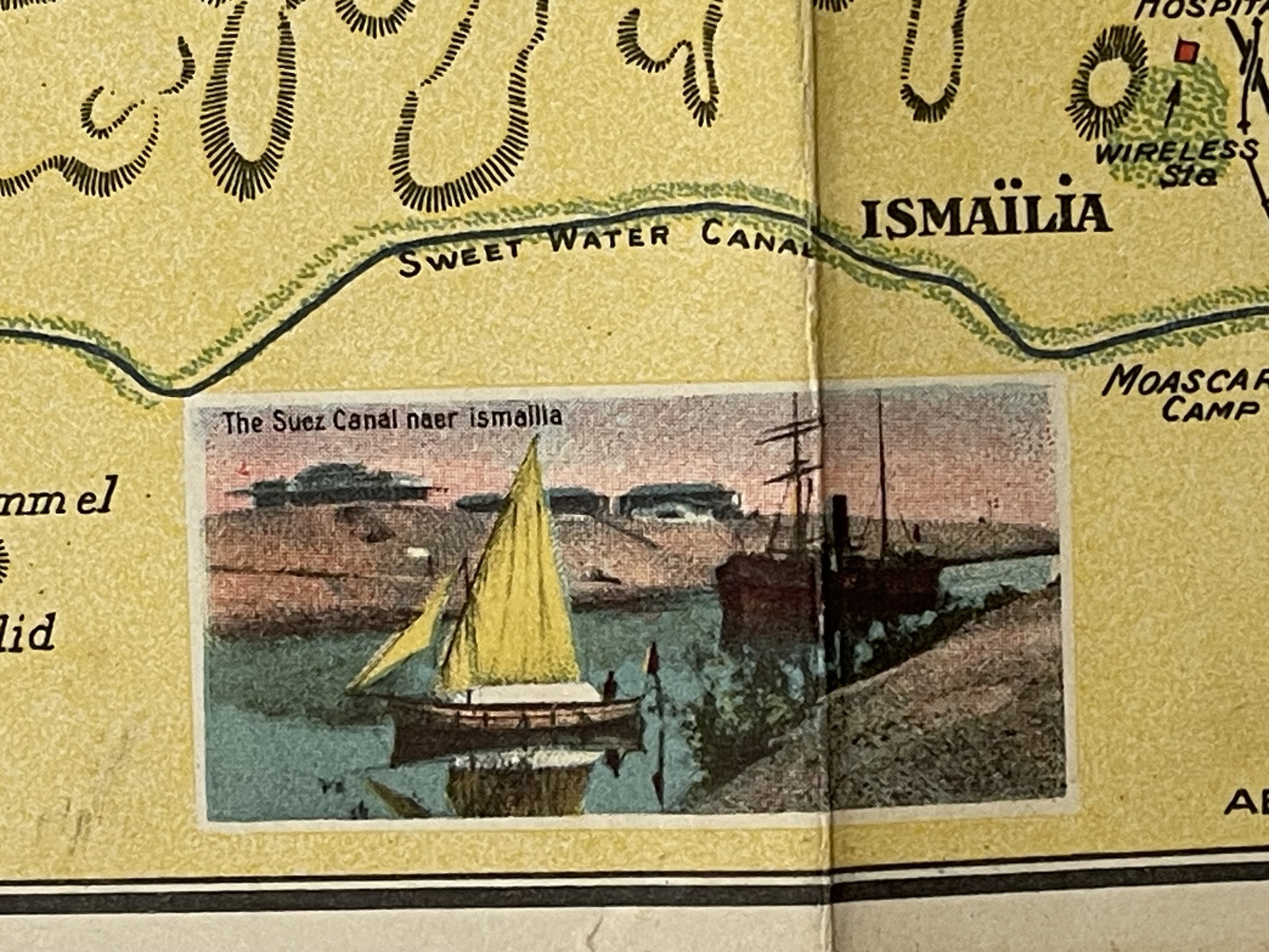
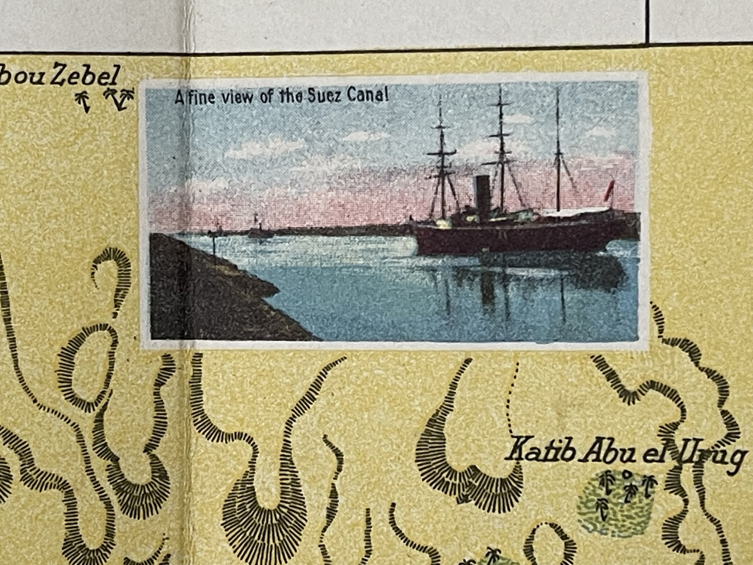
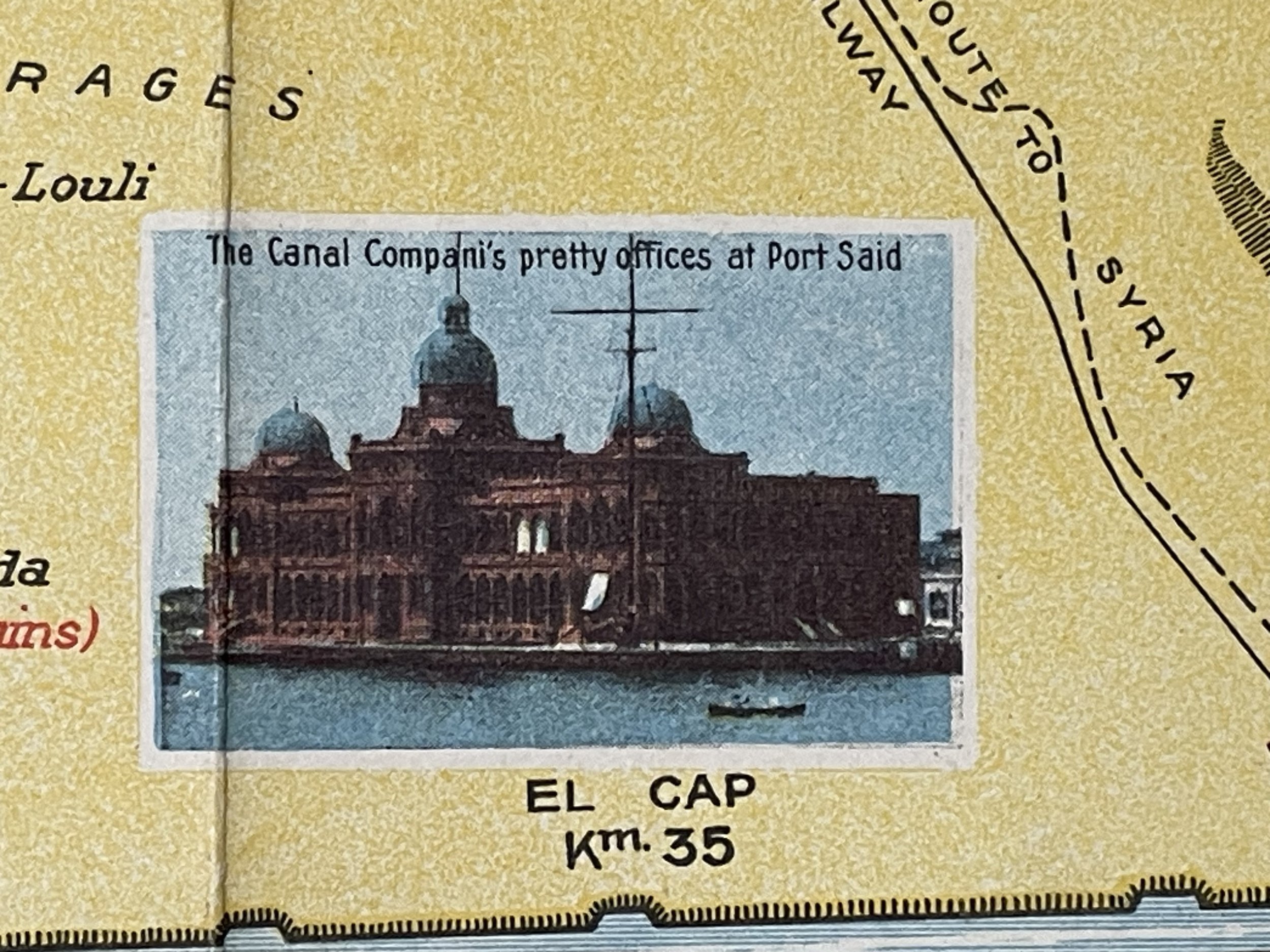
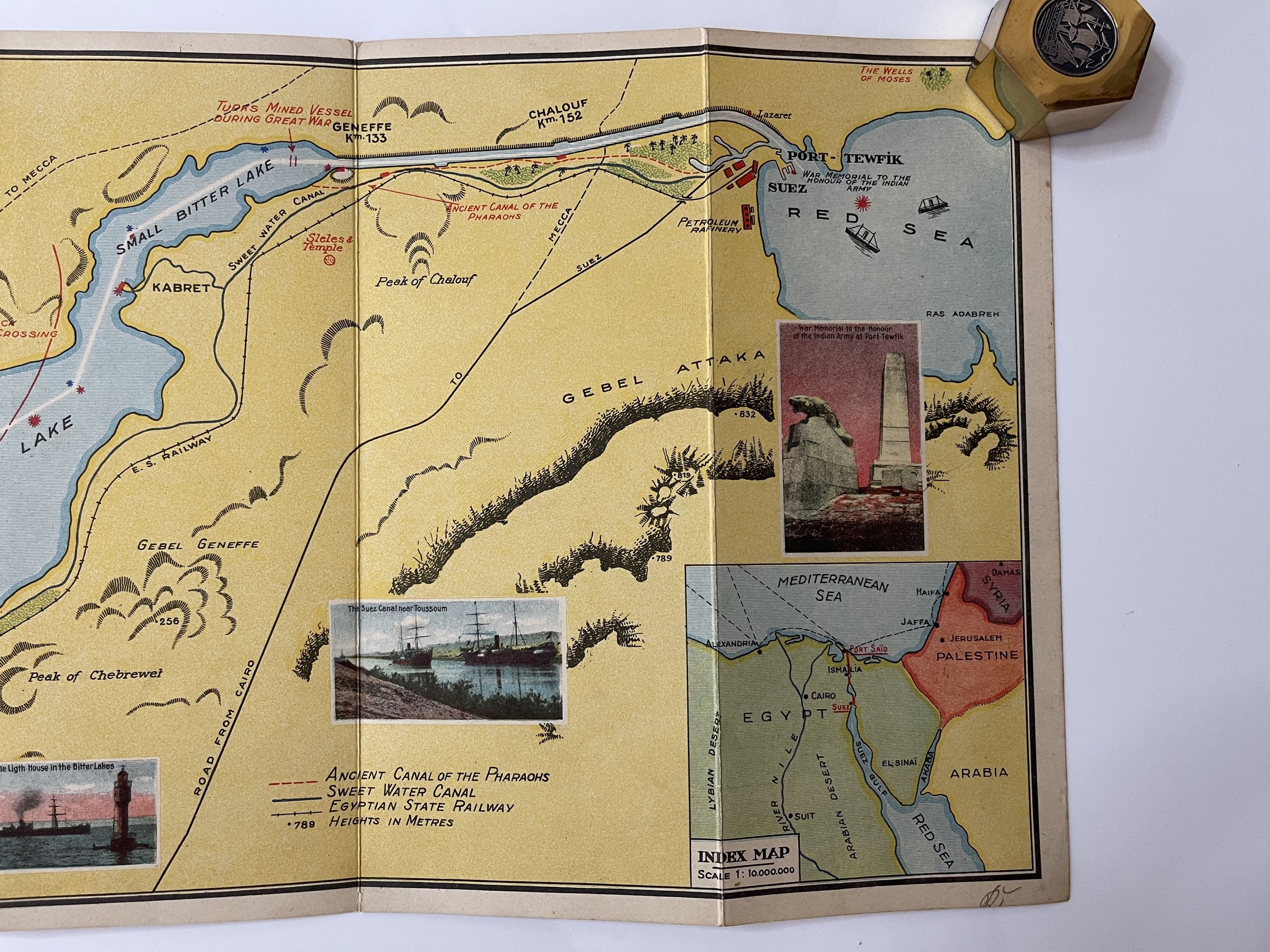
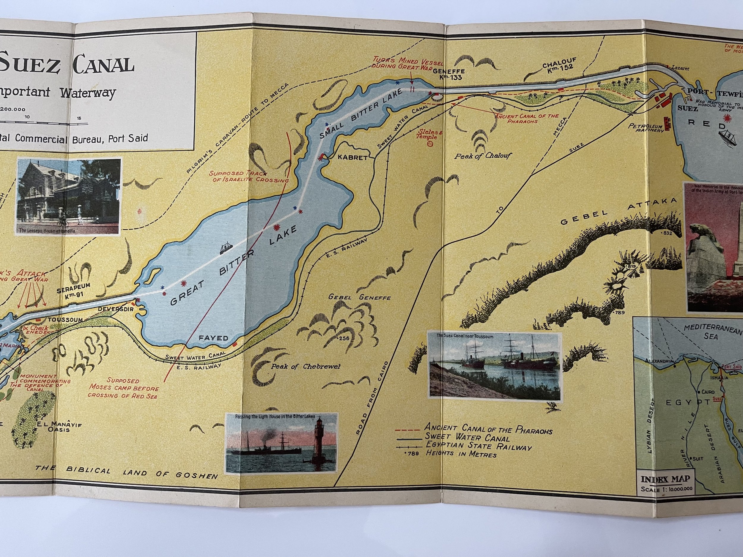
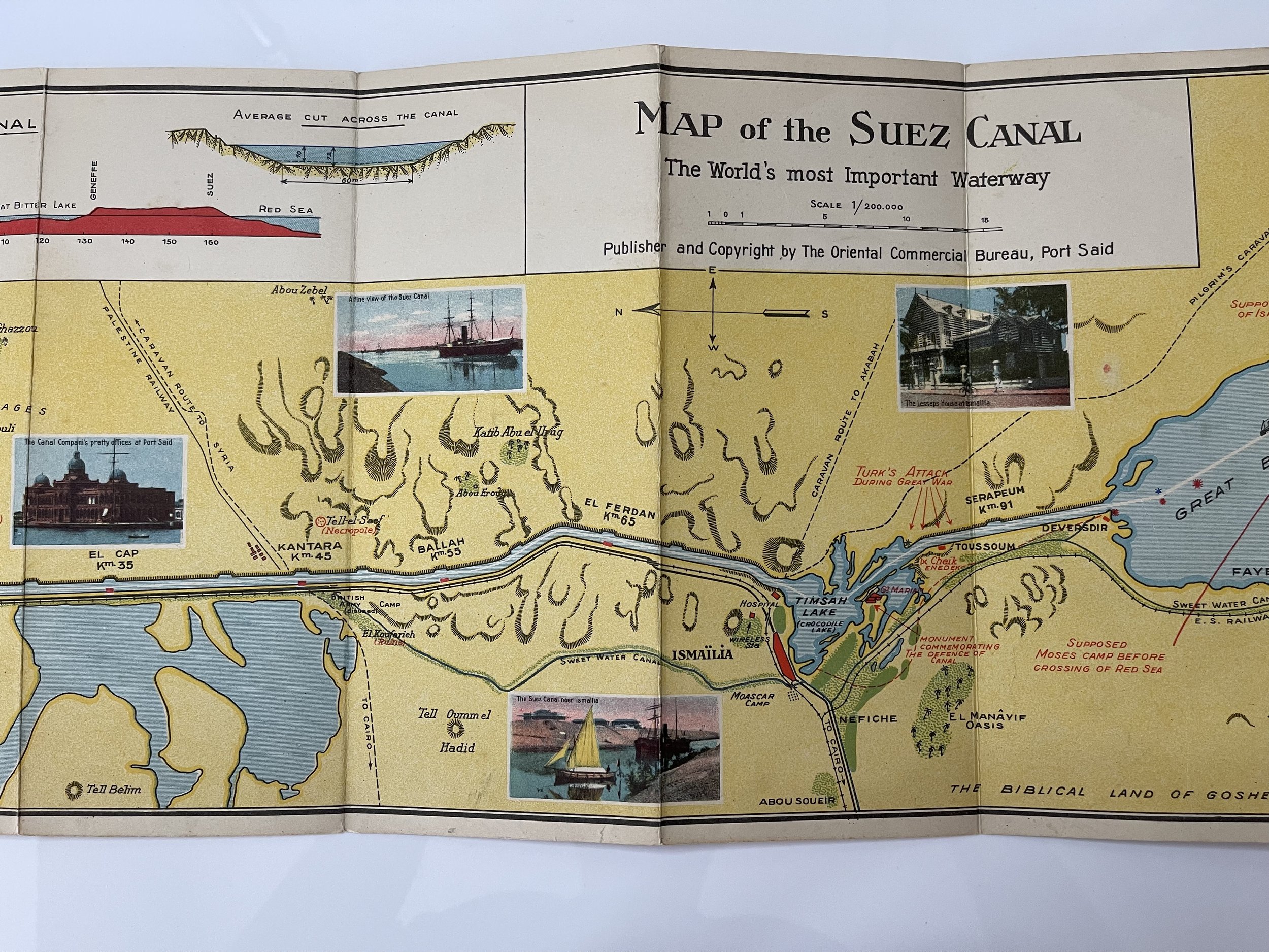
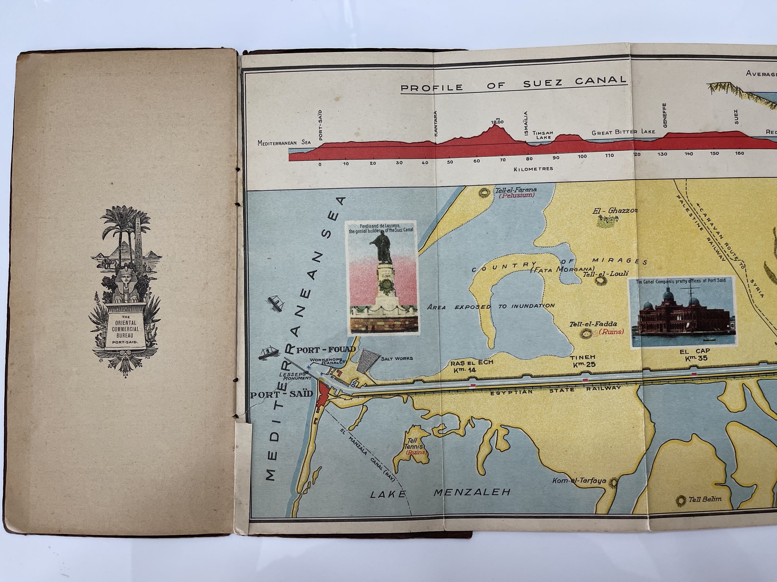
Beautifully designed pictorial map of the Suez Canal enriched with an inset map “Plan of Port-Said and Harbour”, a “Profile of Suez Canal” and an “Index Map” placing the canal in the territory of Egypt with Palestine and Arabia as direct neighbours. The map is filled with uncommon information like caravan routes to Syria and Mecca, multiple references to the Bible like “Moses Camp before crossing Red Sea” and charming graphical scenes and views. An uncommon tourist map with characteristics and construction data of the canal as well as a four-language (English, French, German, Italian) description of places of interest along the Suez Canal." (Citation Rumsey / Martin Nell, 2023)
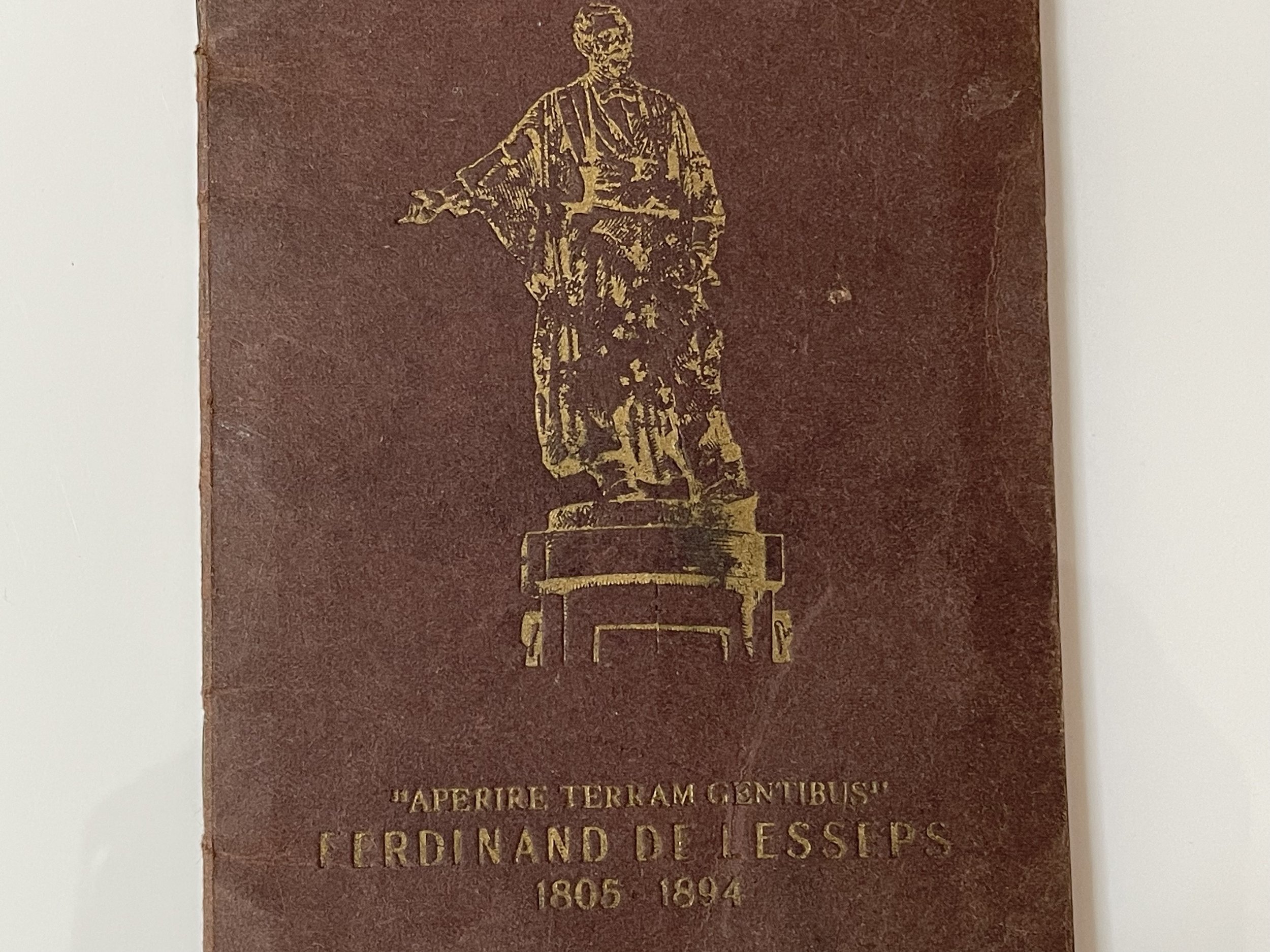
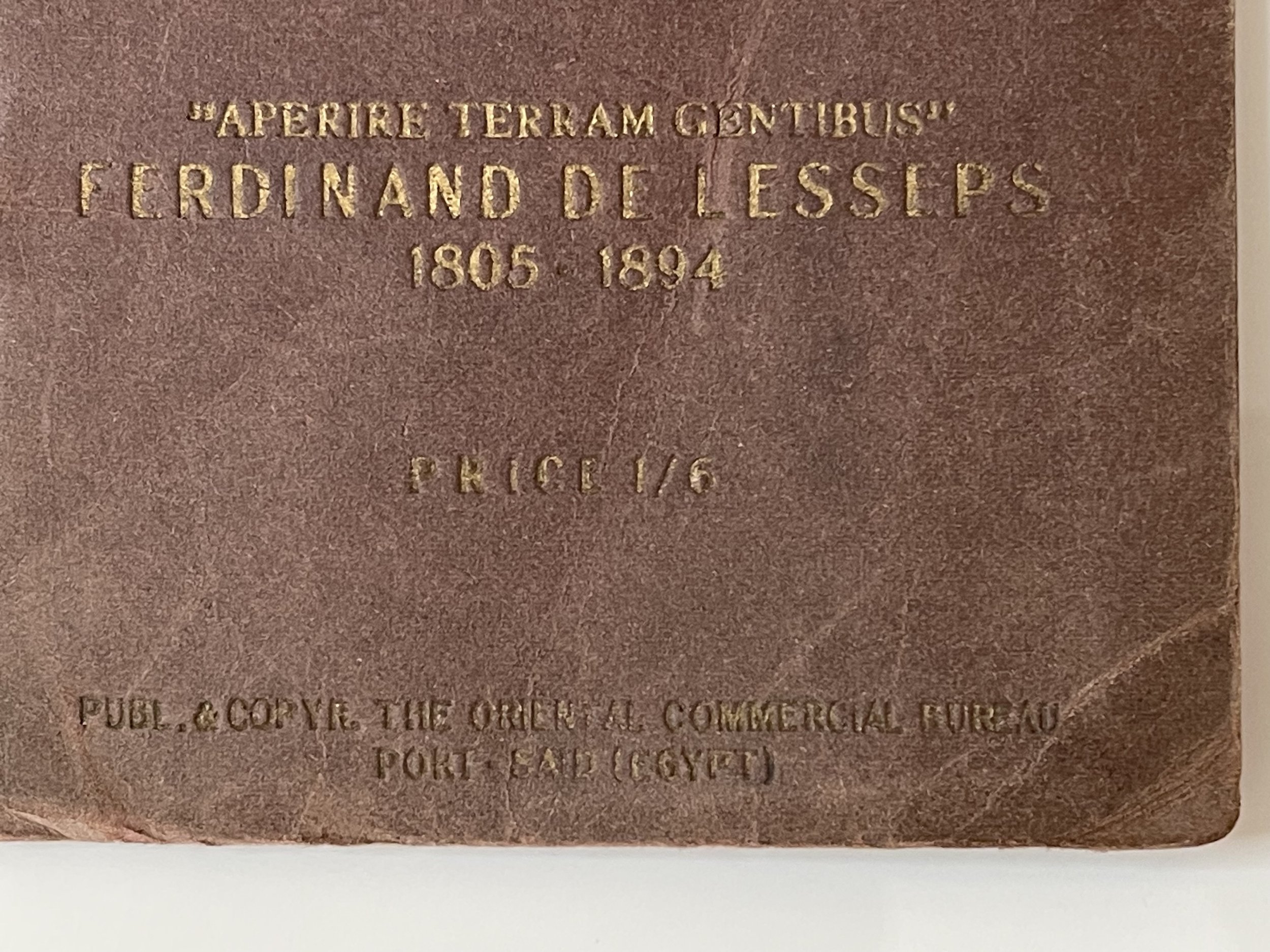
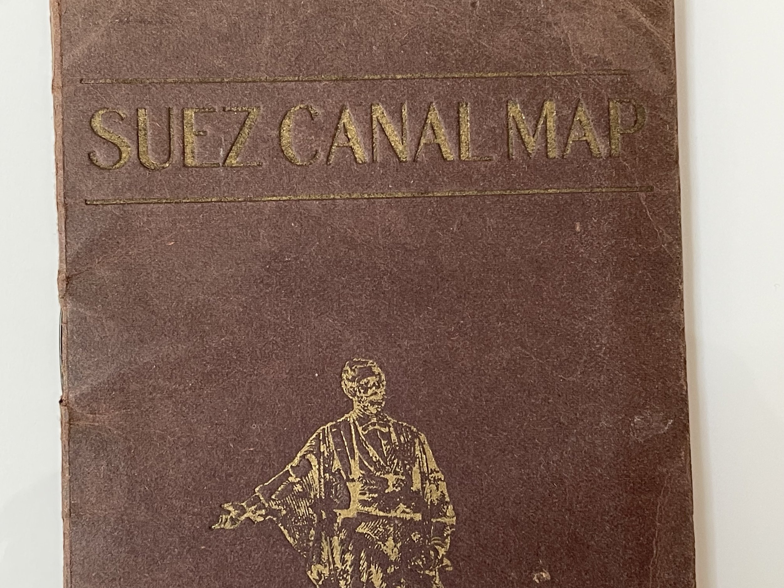
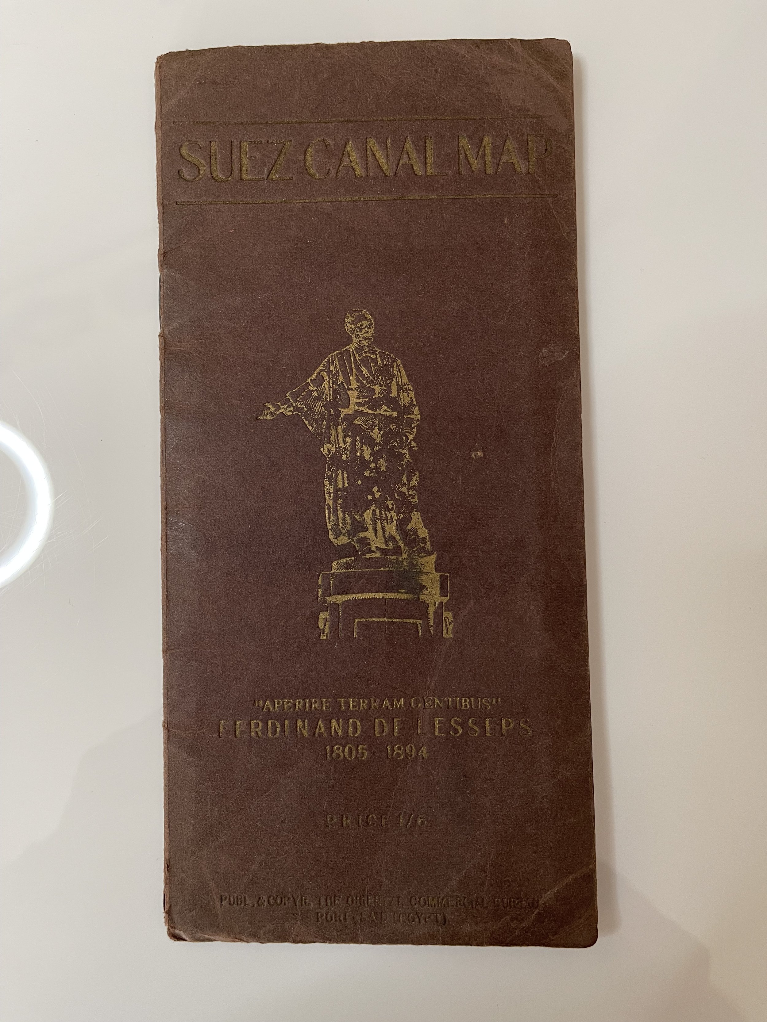
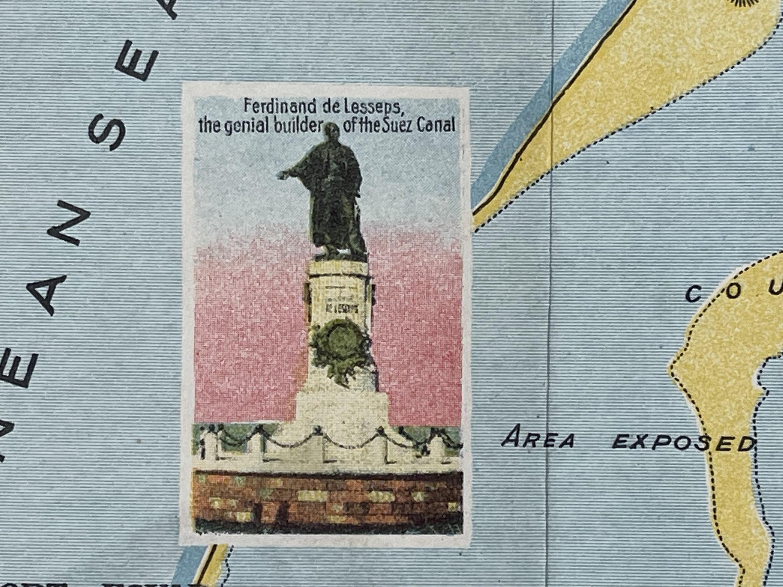
large fold-out panoramic pictorial colour map very good condition, minimal marks , 23 x 84cm /9 x 33 inches approx. No edition or publication date, but the text states that nearly 5000 steamers passed the canal in 1926. Priced 1/6 on front cover & title page. Front cover board dictates an image and the words ‘aperire terram gentibus’ which is the Motto of Ferdinand de Lesseps - French diplomat & developer of the Suez Canal, referring to the Suez Canal.
If your area of interest is the history of the Suez Canal, then this map and accompanying booklet would make a wonderful addition to your collection.
Pricing and grading commensurate.
The Suez Canal - Map and Notes - Circa 1927 - Possibly First Edition.
Published by the Oriental Commercial Bureau, Port Said - August Rüsenberg
It looks as thought their was a ticket attached to the booklet as there is a redundant seam inside the first page. One small ink scribe to the bottom right side of the map border that isn’t affecting the map itself. Pages 5-8 has the bottom third portion missing (see photo).
Pre WW2 and a hard to locate guide that was published in 1927 and contains detailed maps and notes of the Suez Canal, which was at that time the most important waterway in the world. The book is in good fair but the important part (the map) is in excellent condition and has been well-preserved.
Beautifully designed pictorial map of the Suez Canal enriched with an inset map “Plan of Port-Said and Harbour”, a “Profile of Suez Canal” and an “Index Map” placing the canal in the territory of Egypt with Palestine and Arabia as direct neighbours. The map is filled with uncommon information like caravan routes to Syria and Mecca, multiple references to the Bible like “Moses Camp before crossing Red Sea” and charming graphical scenes and views. An uncommon tourist map with characteristics and construction data of the canal as well as a four-language (English, French, German, Italian) description of places of interest along the Suez Canal." (Citation Rumsey / Martin Nell, 2023)
large fold-out panoramic pictorial colour map very good condition, minimal marks , 23 x 84cm /9 x 33 inches approx. No edition or publication date, but the text states that nearly 5000 steamers passed the canal in 1926. Priced 1/6 on front cover & title page. Front cover board dictates an image and the words ‘aperire terram gentibus’ which is the Motto of Ferdinand de Lesseps - French diplomat & developer of the Suez Canal, referring to the Suez Canal.
If your area of interest is the history of the Suez Canal, then this map and accompanying booklet would make a wonderful addition to your collection.
Pricing and grading commensurate.
Code : A1085
Cartographer : Cartographer / Engraver / Publisher: Oriental Commercial Bureau, Port Said / August Rüsenberg
Date : Publication Place / Date - Circa 1927
Size : Sheet size: approx 23 x 11 Cm
Availability : Available
Type - Genuine - Almost Antique
Grading A (Map)
Where Applicable - Folds as issued. Light box photo shows the folio leaf centre margin hinge ‘glue’, this is not visible otherwise.
Tracked postage, in casement. Please contact me for postal quotation outside of the UK.