
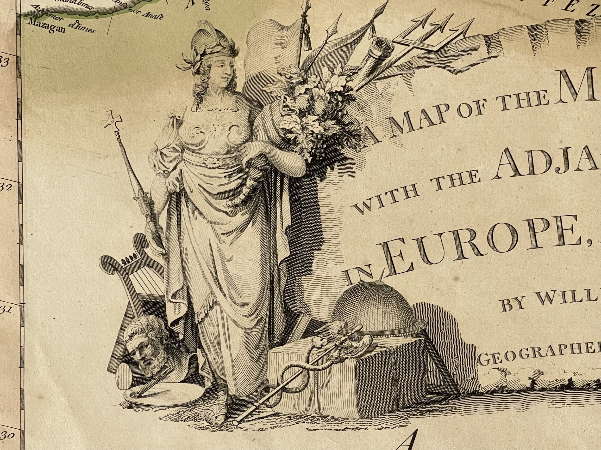

The Mediterranean Sea, Europe, Asia and Africa. (West sheet) - William Faden 1785
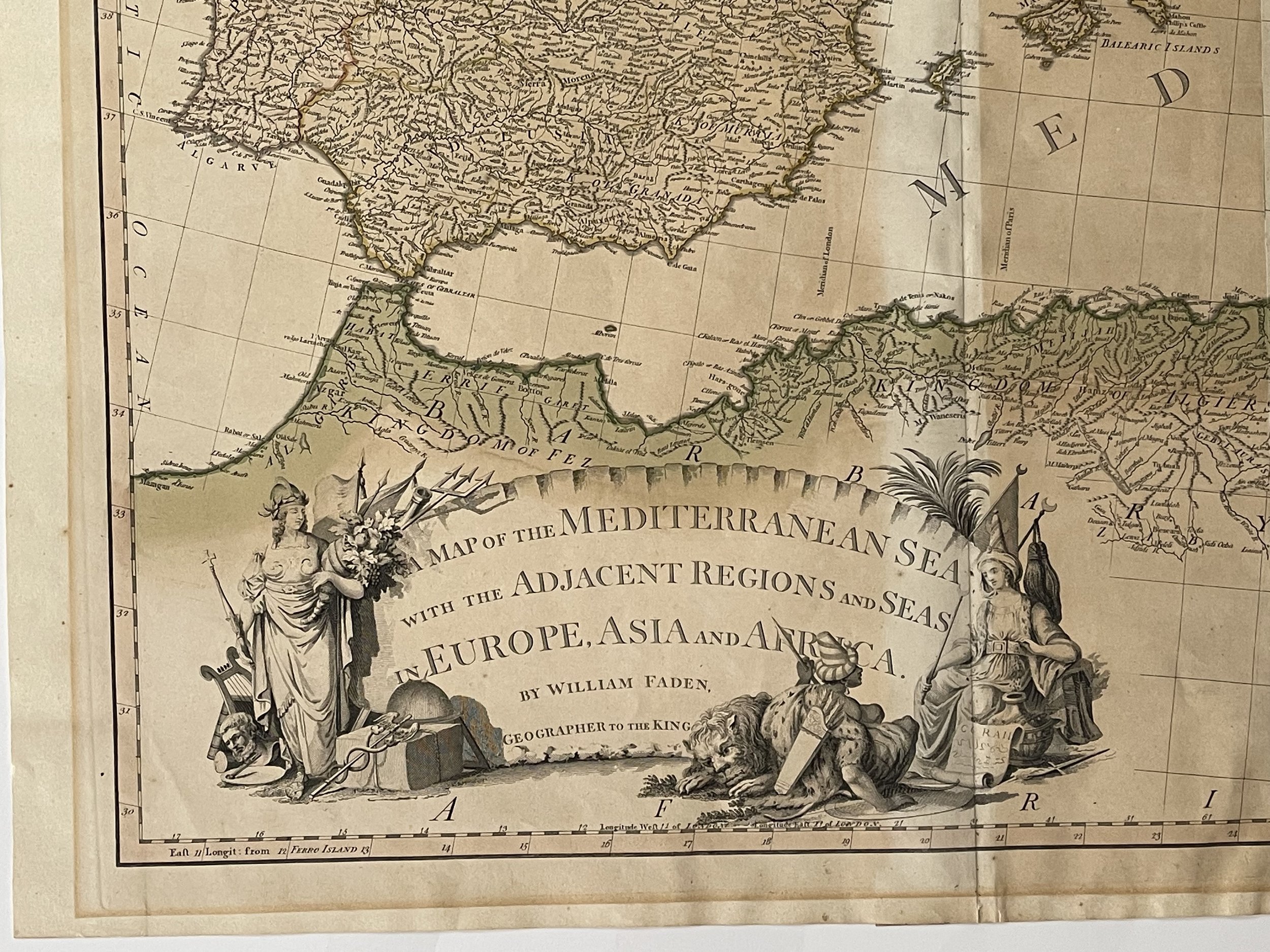
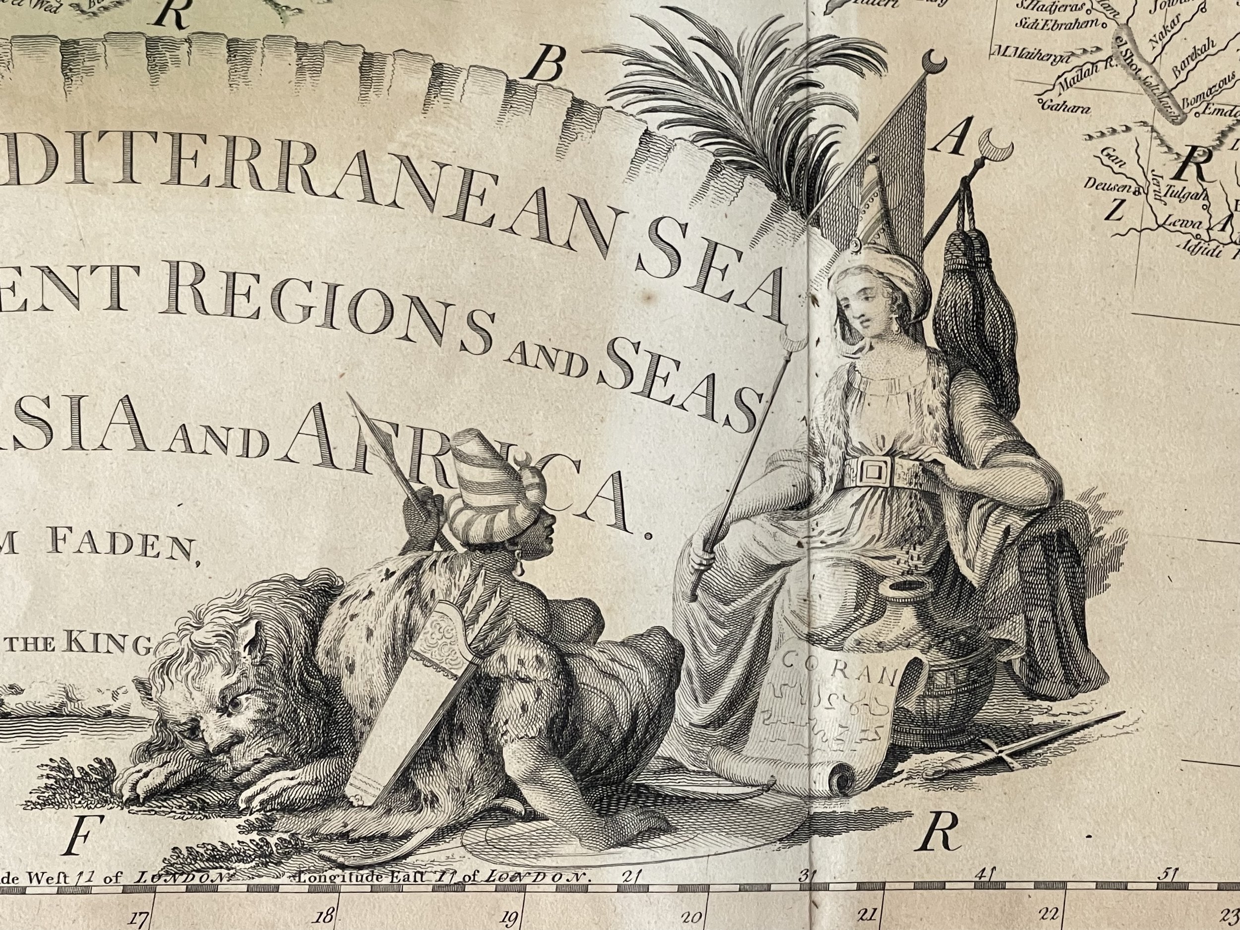
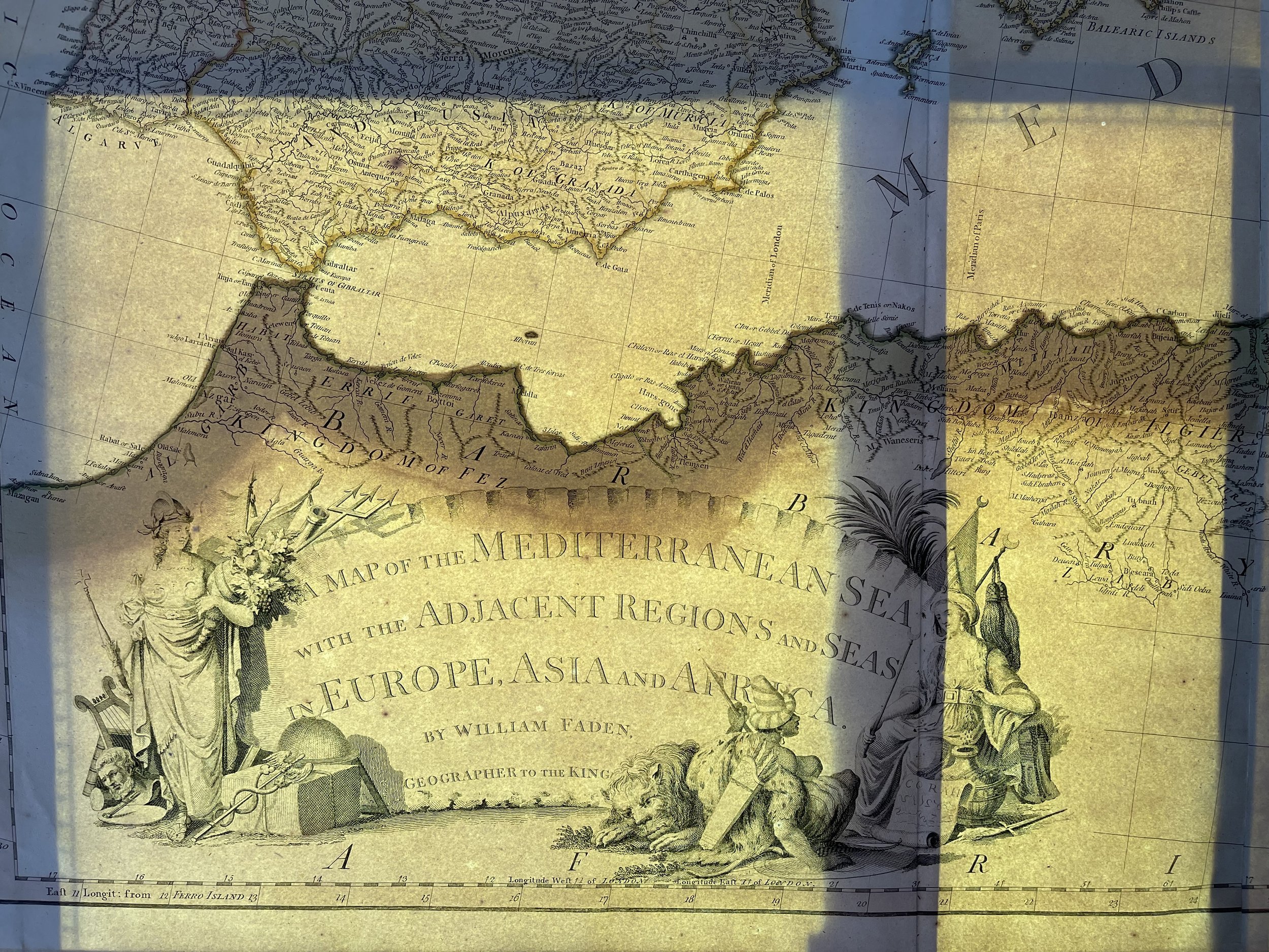
Full Title: A map of the Mediterranean Sea with the adjacent regions and seas in Europe, Asia and Africa. (West sheet)
The 1811 edition of the General Atlas, published by William Faden, featured a large, detailed map of the Mediterranean region.
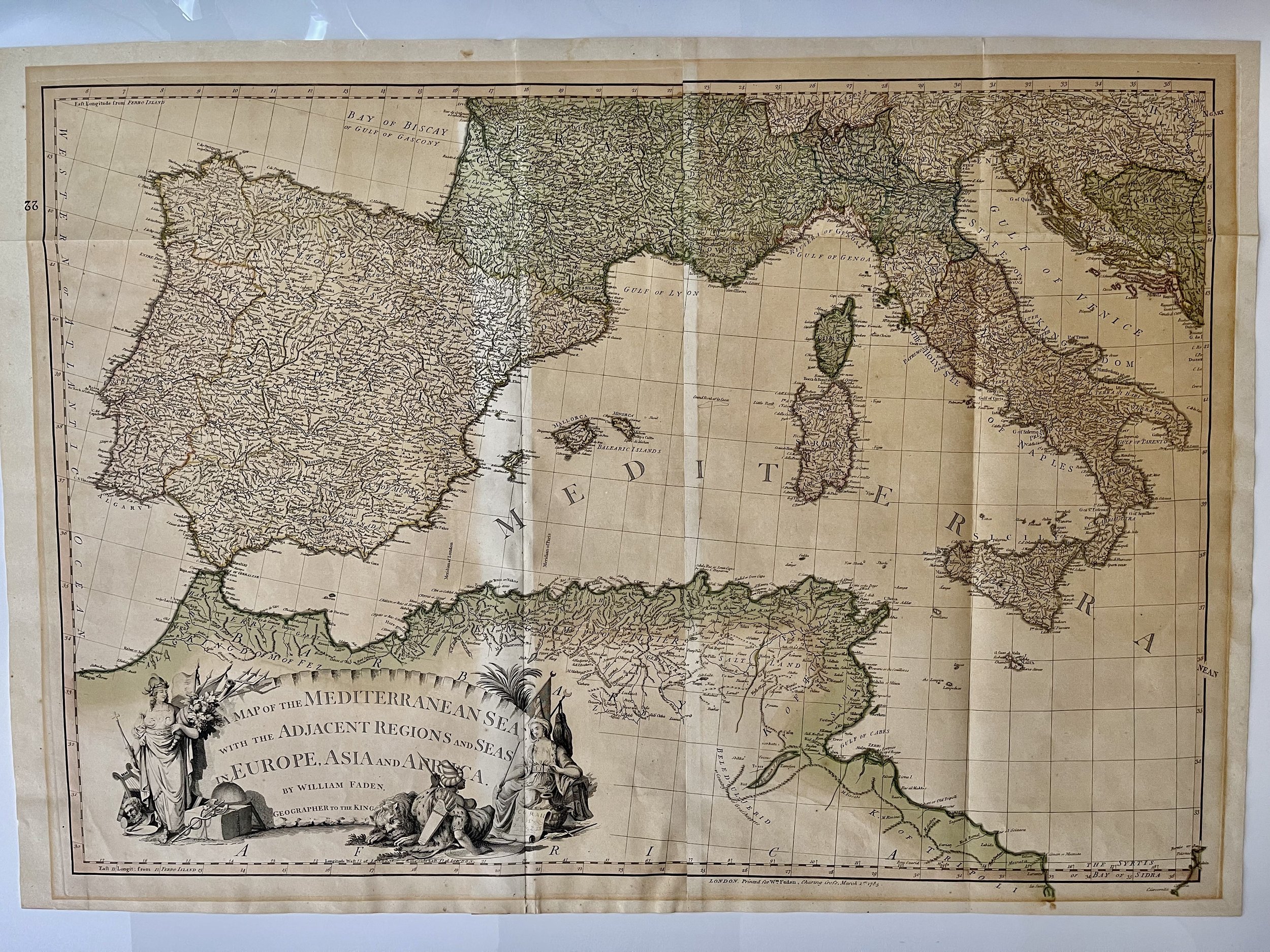
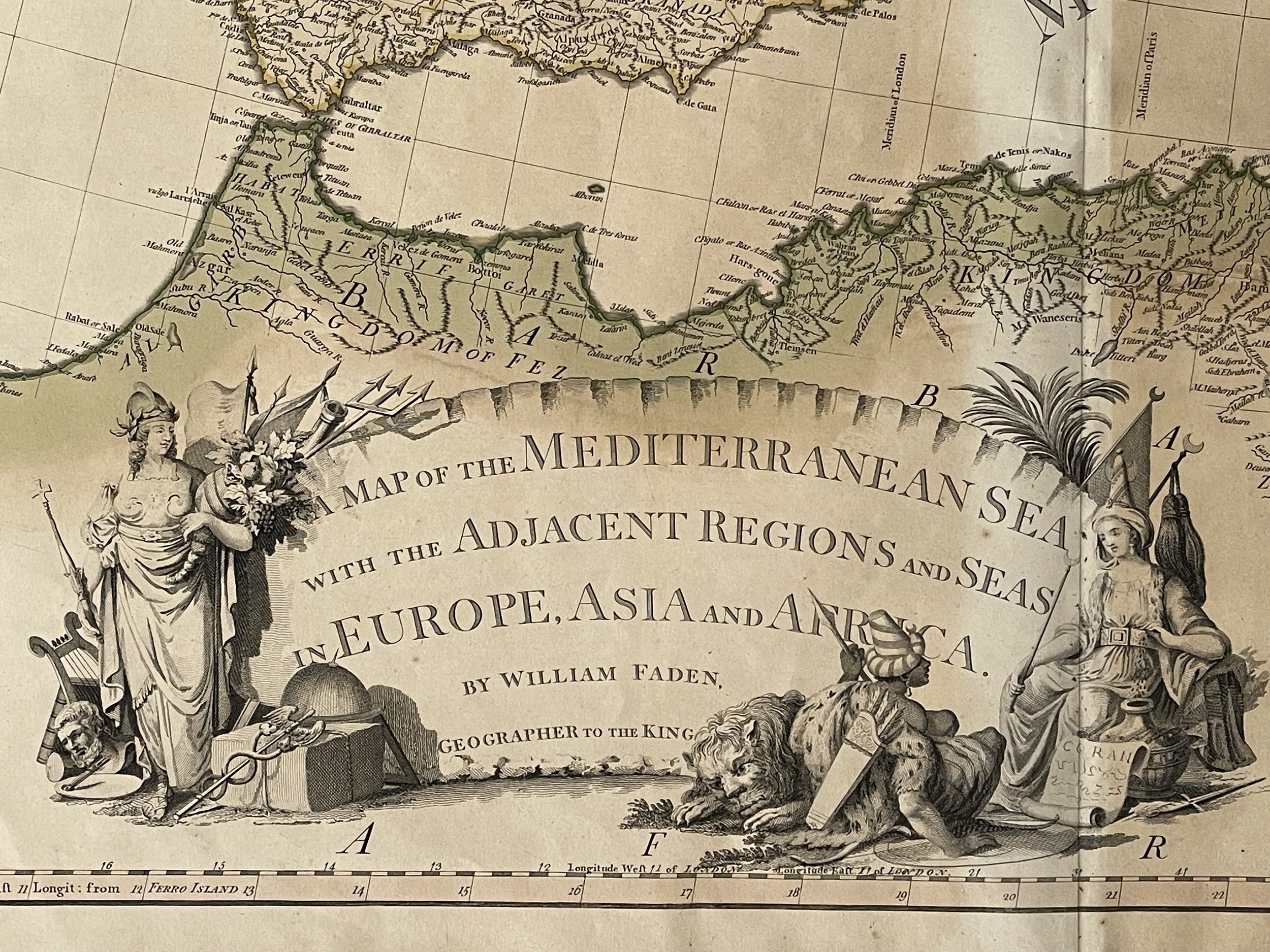
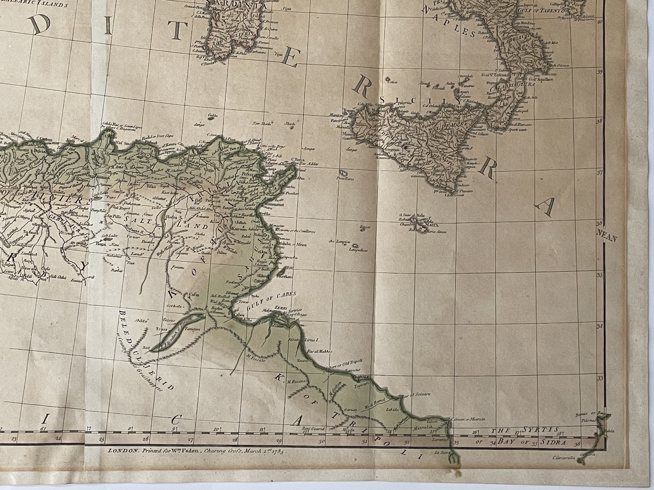
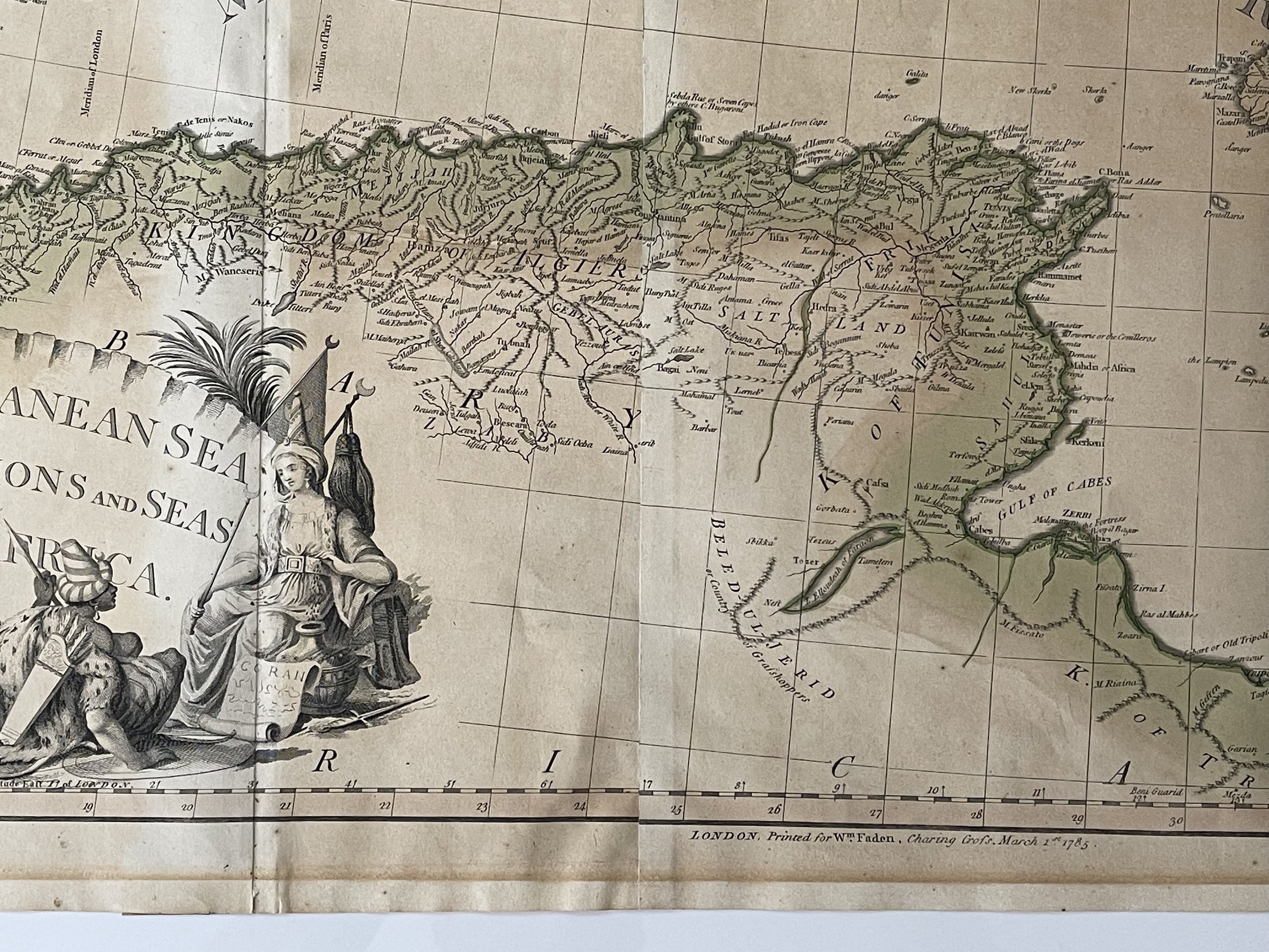
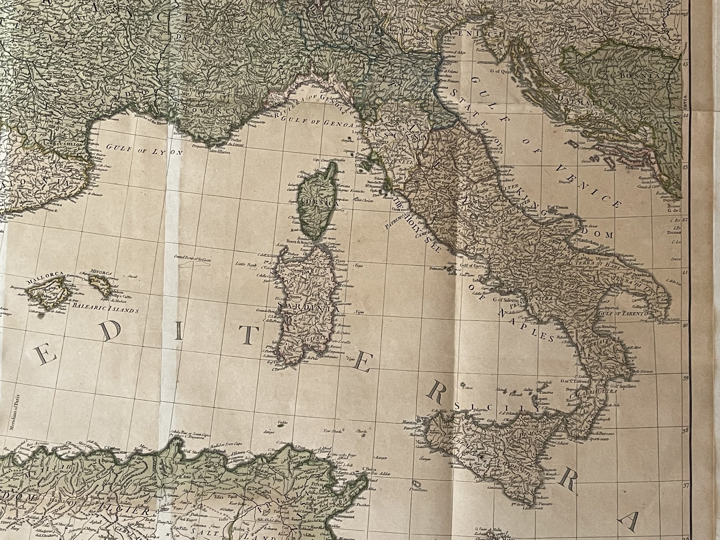
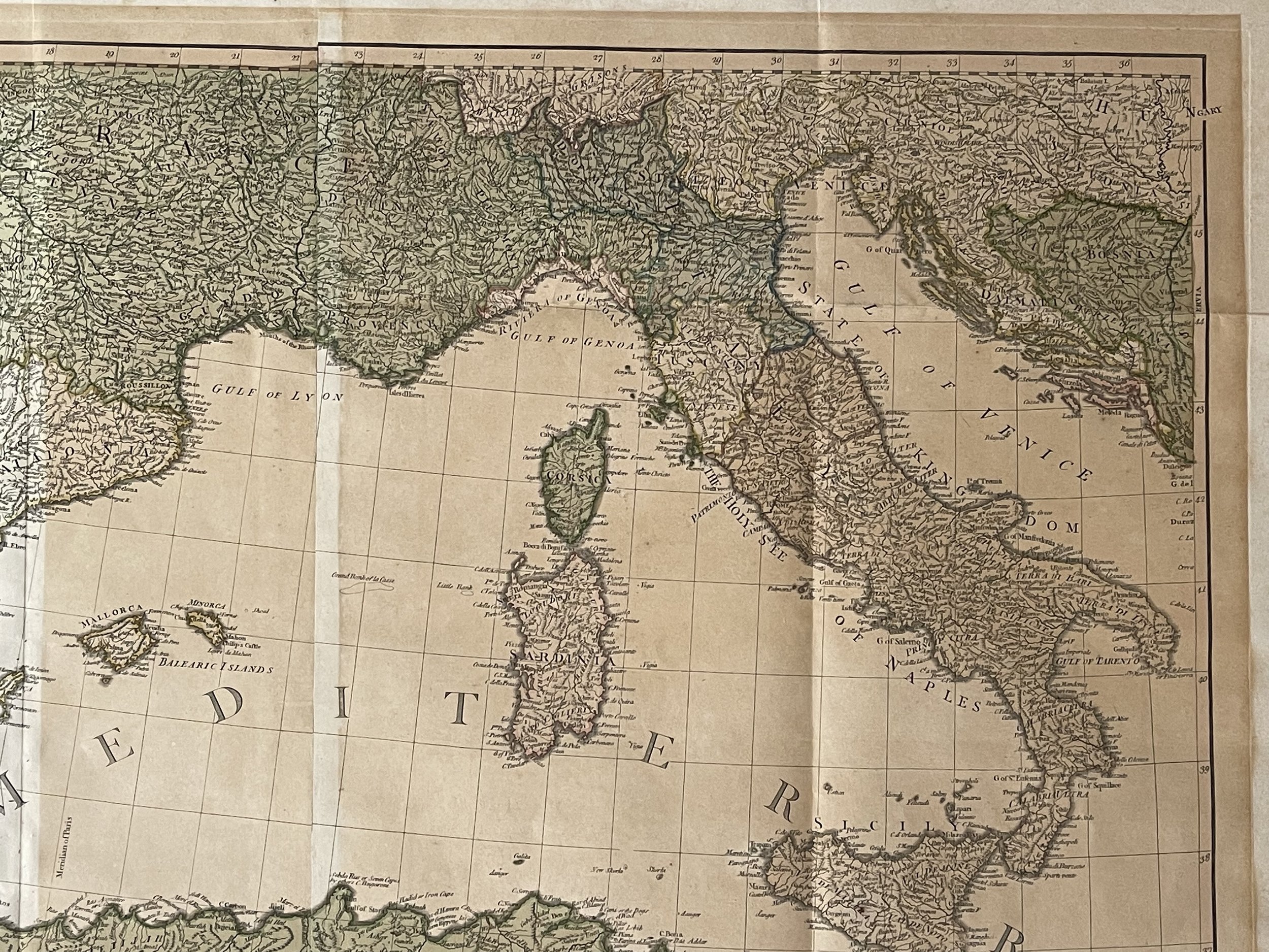
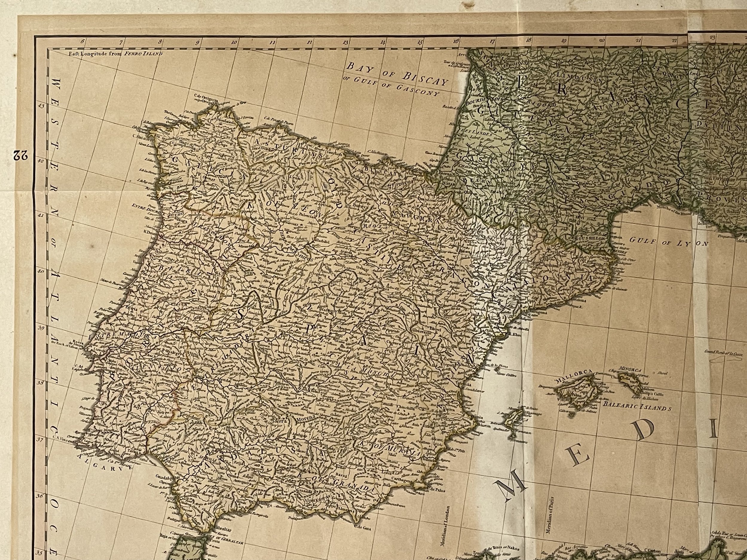
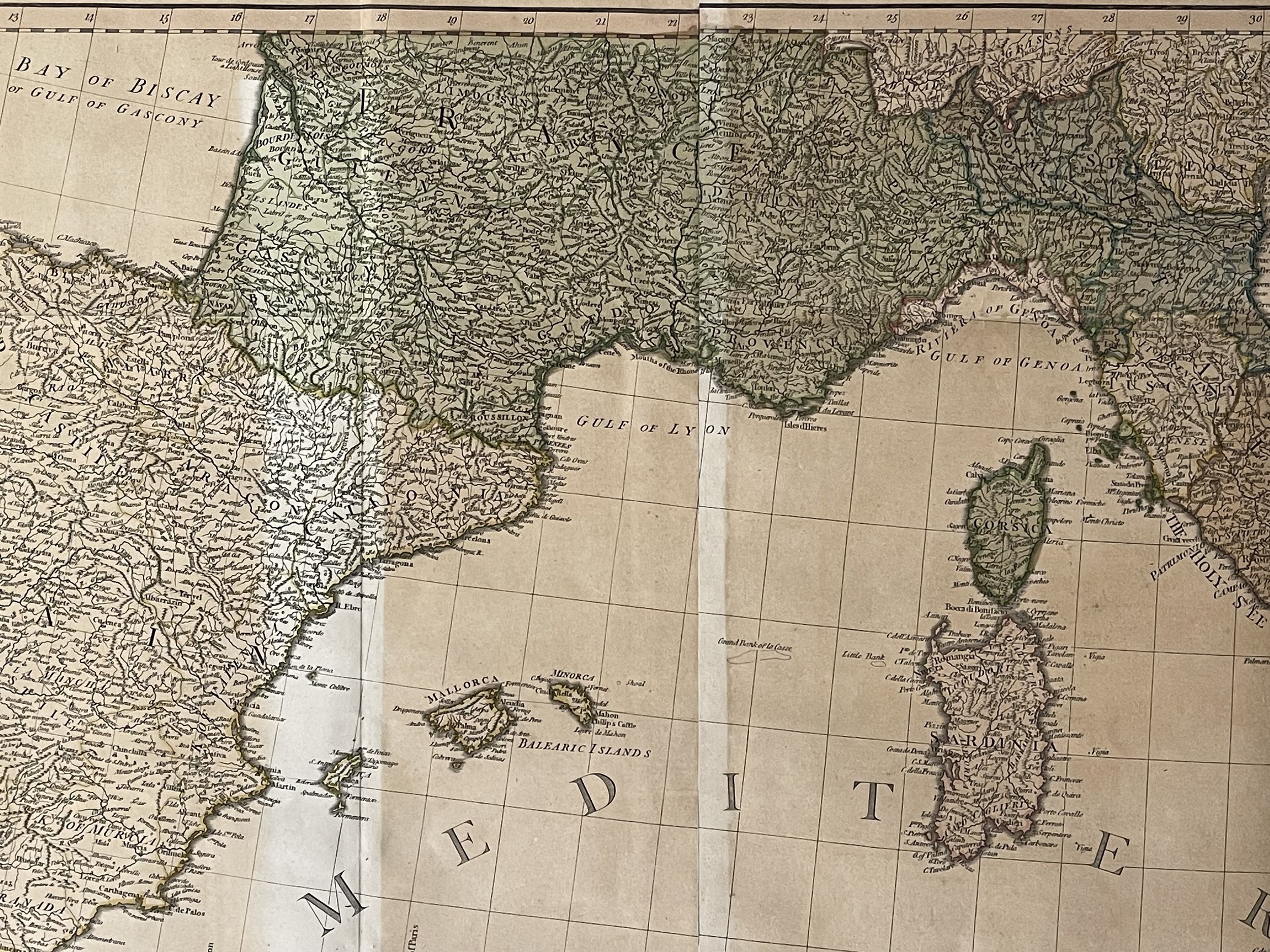
This visually stunning map from that atlas, created in 1785, covered the western portion of the Mediterranean, including Portugal, Spain, Italy, and parts of France and the Balkans. Islands such as Minorca, Majorca, Ibiza, Corsica, Sardinia, Malta, and Sicily were also included. The map was colour-coded to indicate political territories and featured important towns, rivers, cities, lakes, islands, and mountains, as well as other topographic details. It depicted the Italian peninsula divided into various states and duchies.
During the map's creation, the region was under the declining rule of the Ottoman Empire, which would continue to exert influence until the early 19th century. The Barbary Coast, known for its piracy activity, posed a threat to trading ships passing through the Gibraltar straits and western Mediterranean. These pirates would attack and seize ships, cargo, and enslave crew and passengers. The United States eventually launched a major naval offense against Tripoli to combat piracy in the region, culminating in the 1805 Battle of Derne. This event later inspired a portion of the lyrics in the Mariners' Hymn, "To the shores of Tripoli."
William Faden (1749-1836) was a prominent mapmaker and publisher in London during the late-eighteenth and early-nineteenth centuries. His father, William Mackfaden, was a printer who changed his last name due to the Jacobite rising of 1745. Faden began his career as an apprentice to an engraver in the Clothworkers' Company and became a member of the Company in August of 1771. He later partnered with the family of Thomas Jeffreys, a well-known and respected late mapmaker who had recently passed away in 1771. This partnership lasted until 1776.
In addition, Faden became a member of the Society of Civil Engineers in 1776, which later became known as the Smeatonian Society of Civil Engineers. This exclusive group served as a practical dining club and his membership exposed Faden to various engineering publications, including plans for canals and other new engineering projects.
Faden's success grew during the American Revolution, when he produced popular maps and atlases focused on the American colonies and the battles taking place within them. In 1783, he inherited his father's estate and gained full control of his business, allowing him to expand it. That same year, he was granted the title "Geographer in Ordinary to his Majesty."
Faden also had a large collection of British county maps, which made him an ideal partner for the Ordnance Survey. In 1801, he published the first Ordnance map of Kent. The Admiralty also recognized his talent and acquired some of his plates, which were re-issued as official naval charts.
Faden was highly regarded for his ingenuity and business savvy. In 1796, he was awarded a gold medal by the Society of Arts. He collaborated with his brother-in-law, astronomer and painter John Russell, to create the first known lunar globe.
After retiring in 1823, Faden's thriving business was passed on to his former apprentice, James Wyld. He passed away in Shepperton in 1826, leaving behind a substantial estate.
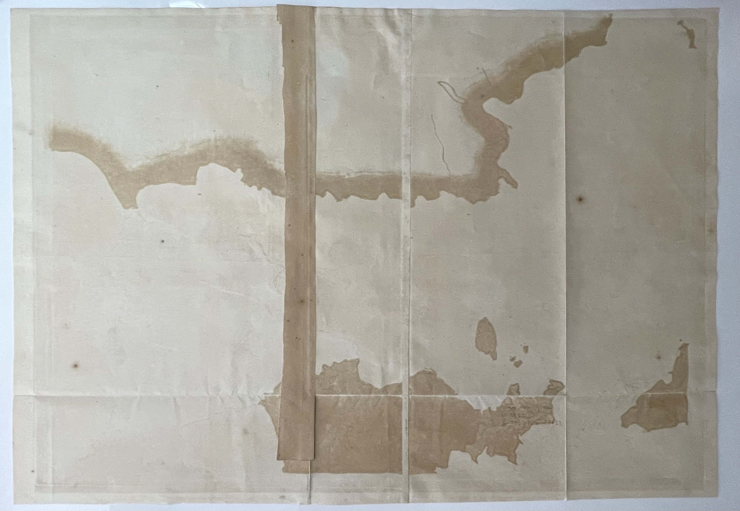
Large and beautiful map of the period by Faden, difficult to locate. The map has some sun damage (lightened tone in small areas) but still has much vibrancy and colour. Pricing and grading commensurate.
Full Title: A map of the Mediterranean Sea with the adjacent regions and seas in Europe, Asia and Africa. (West sheet)
The 1811 edition of the General Atlas, published by William Faden, featured a large, detailed map of the Mediterranean region.
This visually stunning map from that atlas, created in 1785, covered the western portion of the Mediterranean, including Portugal, Spain, Italy, and parts of France and the Balkans. Islands such as Minorca, Majorca, Ibiza, Corsica, Sardinia, Malta, and Sicily were also included. The map was colour-coded to indicate political territories and featured important towns, rivers, cities, lakes, islands, and mountains, as well as other topographic details. It depicted the Italian peninsula divided into various states and duchies.
During the map's creation, the region was under the declining rule of the Ottoman Empire, which would continue to exert influence until the early 19th century. The Barbary Coast, known for its piracy activity, posed a threat to trading ships passing through the Gibraltar straits and western Mediterranean. These pirates would attack and seize ships, cargo, and enslave crew and passengers. The United States eventually launched a major naval offense against Tripoli to combat piracy in the region, culminating in the 1805 Battle of Derne. This event later inspired a portion of the lyrics in the Mariners' Hymn, "To the shores of Tripoli."
William Faden (1749-1836) was a prominent mapmaker and publisher in London during the late-eighteenth and early-nineteenth centuries. His father, William Mackfaden, was a printer who changed his last name due to the Jacobite rising of 1745. Faden began his career as an apprentice to an engraver in the Clothworkers' Company and became a member of the Company in August of 1771. He later partnered with the family of Thomas Jeffreys, a well-known and respected late mapmaker who had recently passed away in 1771. This partnership lasted until 1776.
In addition, Faden became a member of the Society of Civil Engineers in 1776, which later became known as the Smeatonian Society of Civil Engineers. This exclusive group served as a practical dining club and his membership exposed Faden to various engineering publications, including plans for canals and other new engineering projects.
Faden's success grew during the American Revolution, when he produced popular maps and atlases focused on the American colonies and the battles taking place within them. In 1783, he inherited his father's estate and gained full control of his business, allowing him to expand it. That same year, he was granted the title "Geographer in Ordinary to his Majesty."
Faden also had a large collection of British county maps, which made him an ideal partner for the Ordnance Survey. In 1801, he published the first Ordnance map of Kent. The Admiralty also recognized his talent and acquired some of his plates, which were re-issued as official naval charts.
Faden was highly regarded for his ingenuity and business savvy. In 1796, he was awarded a gold medal by the Society of Arts. He collaborated with his brother-in-law, astronomer and painter John Russell, to create the first known lunar globe.
After retiring in 1823, Faden's thriving business was passed on to his former apprentice, James Wyld. He passed away in Shepperton in 1826, leaving behind a substantial estate.
Large and beautiful map of the period by Faden, difficult to locate. The map has some sun damage (lightened tone in small areas) but still has much vibrancy and colour. Pricing and grading commensurate.
Code : A948
Cartographer : Cartographer / Engraver / Publisher: William Faden
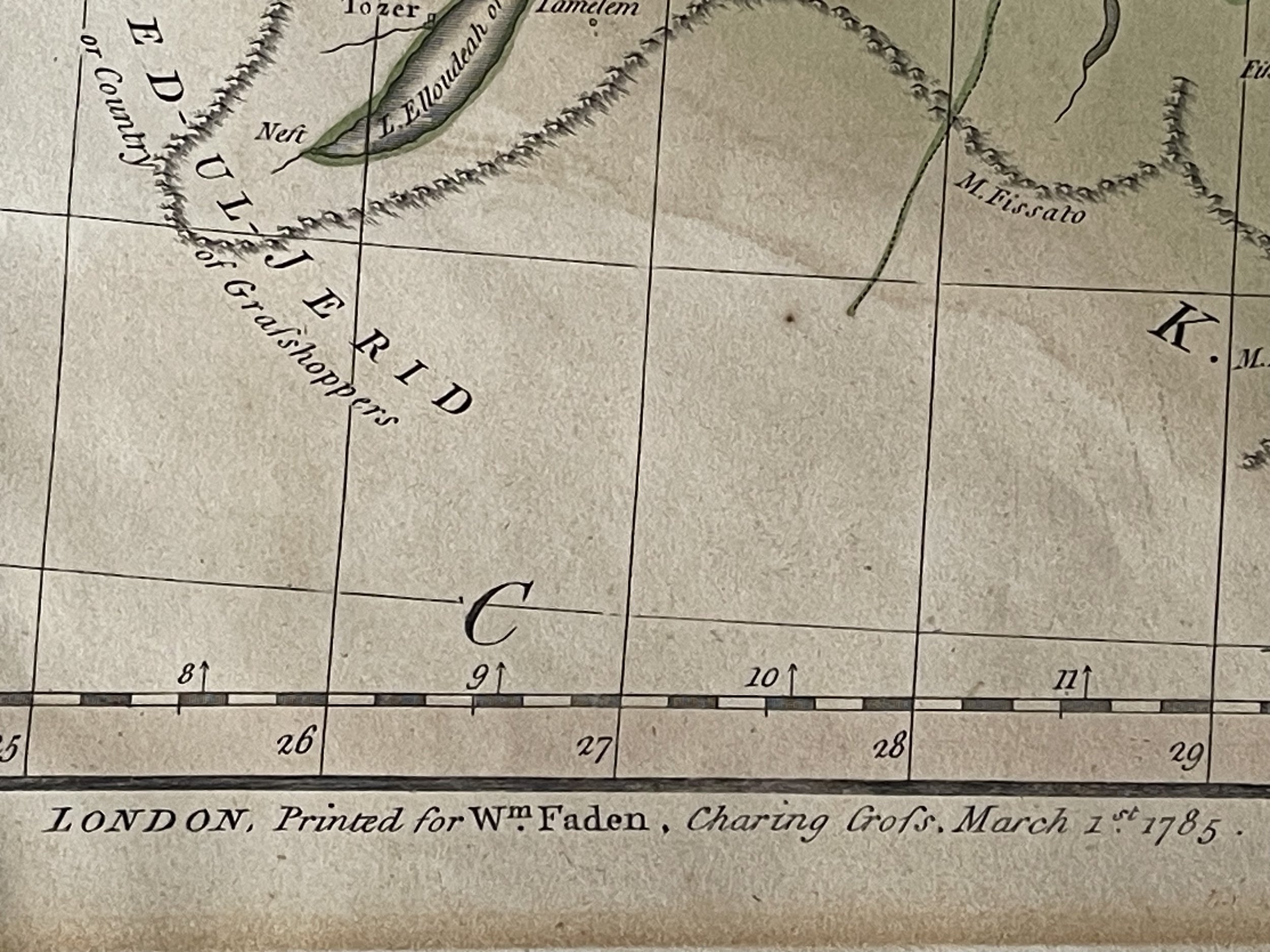
Date : Publication Place / Date - 1785
Size : Sheet size: approx 36.5 x 23.5 Inches
Availability : Available
Type - Genuine - Antique
Grading A-
Where Applicable - Folds as issued. Light box photo shows the folio leaf centre margin hinge ‘glue’, this is not visible otherwise.
Tracked postage, in casement. Please contact me for postal quotation outside of the UK.