The North of England & South Scotland Railway Systems - George Philip - 1900
The North of England & South Scotland Railway Systems - George Philip / London Geographical Institute– 1900
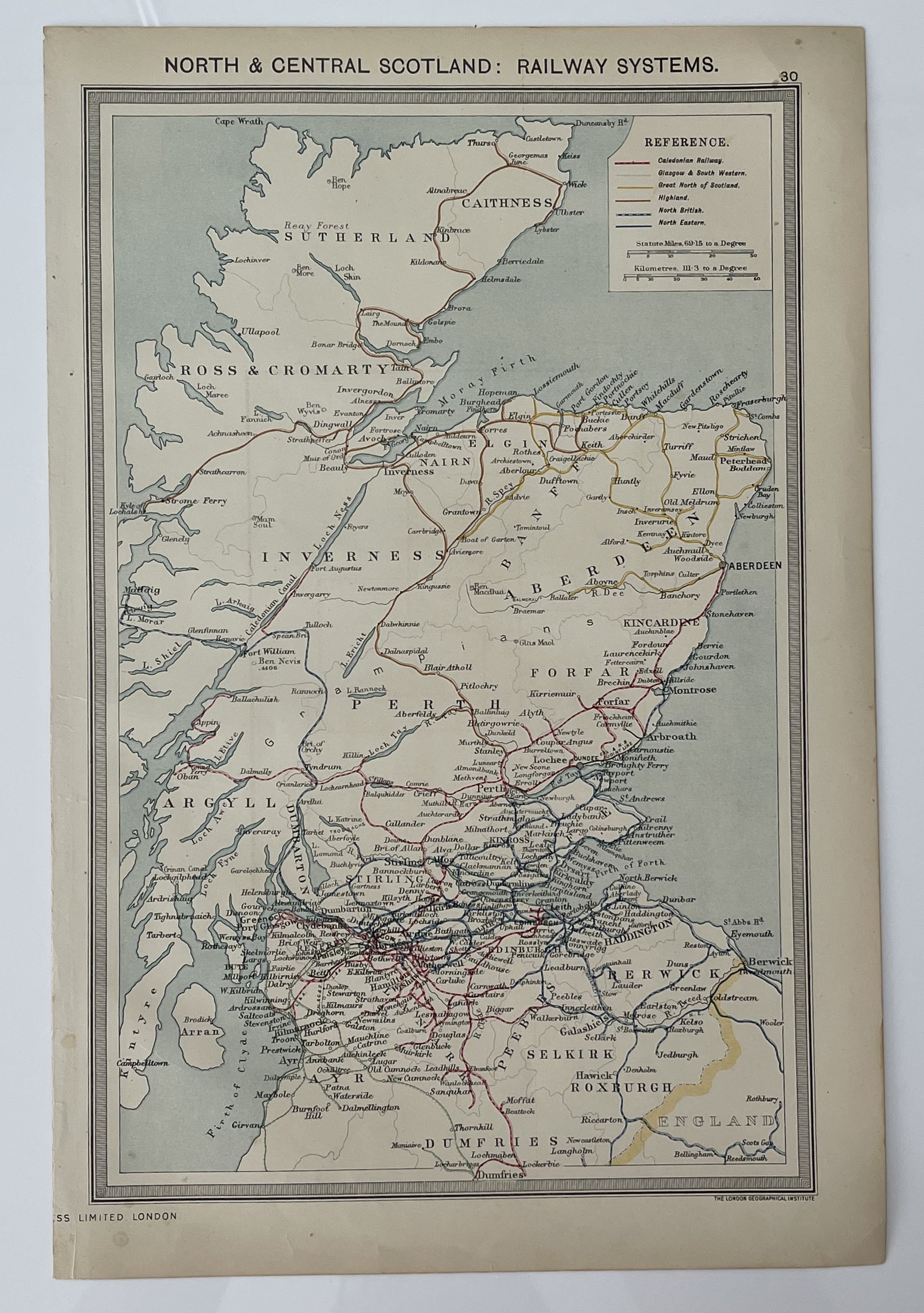
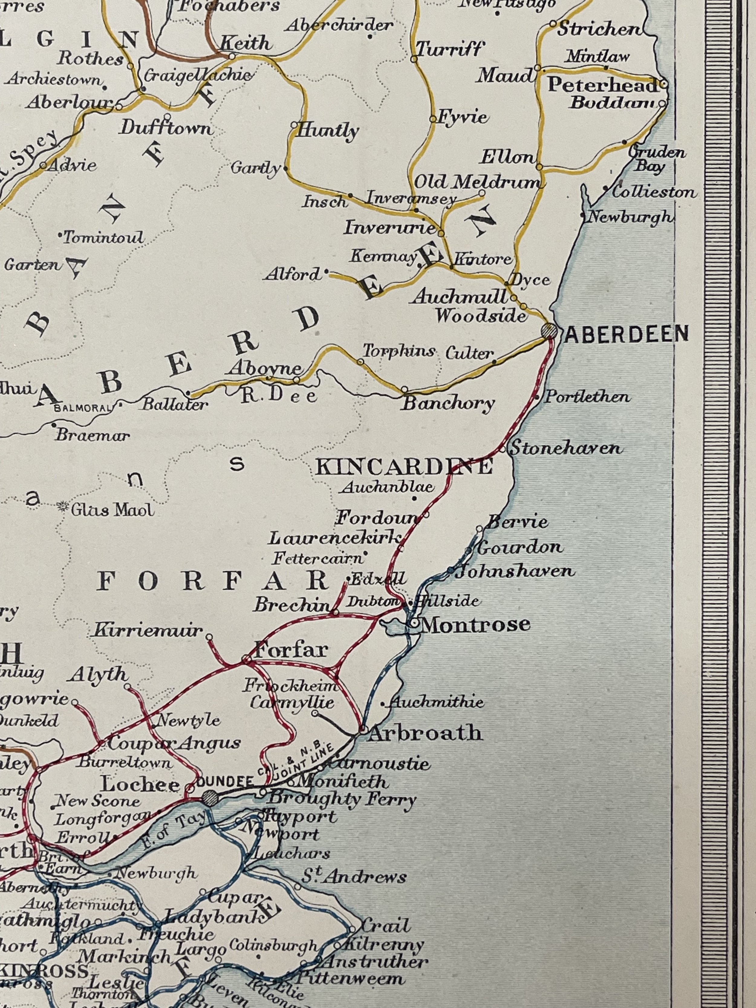
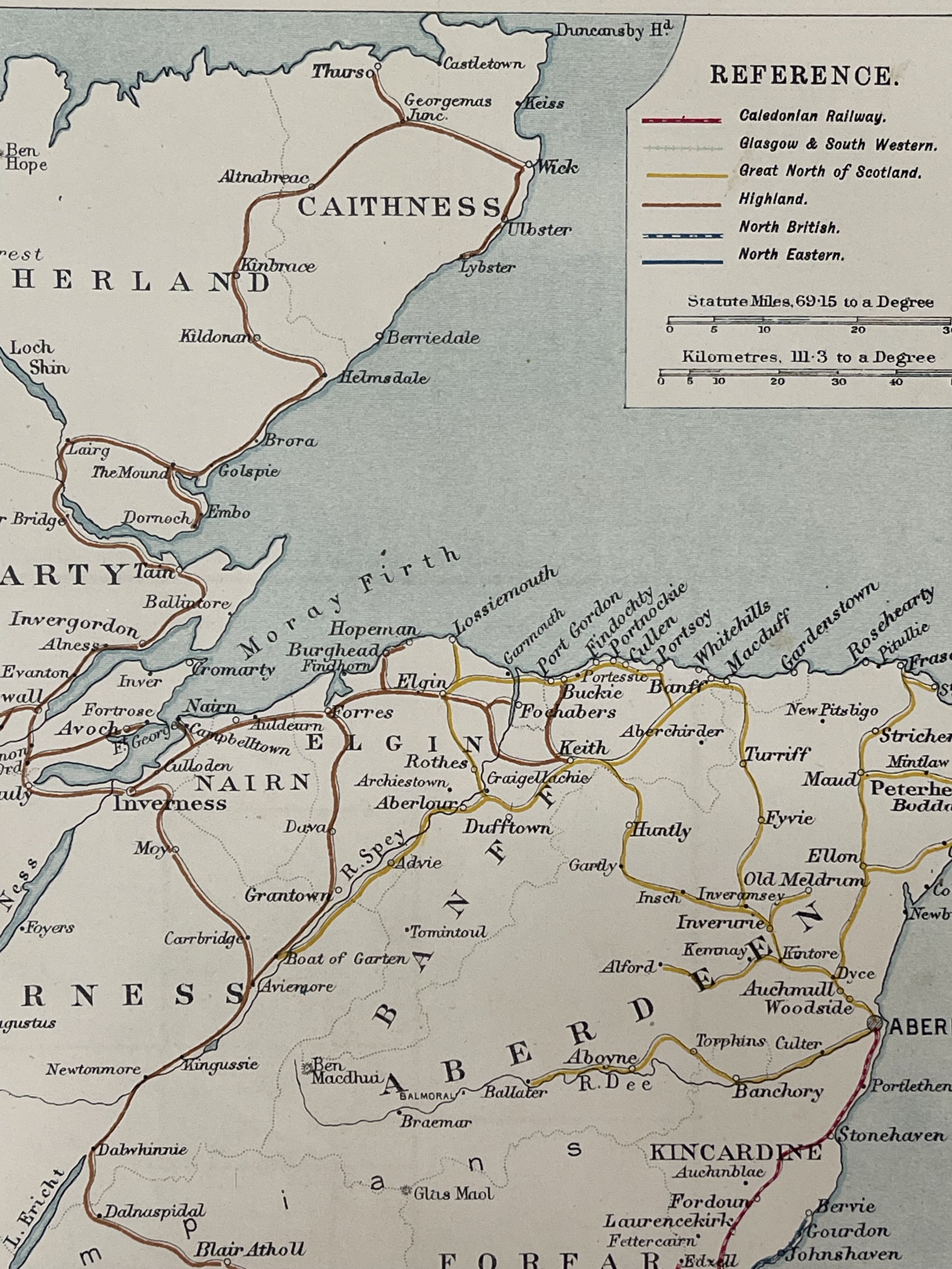
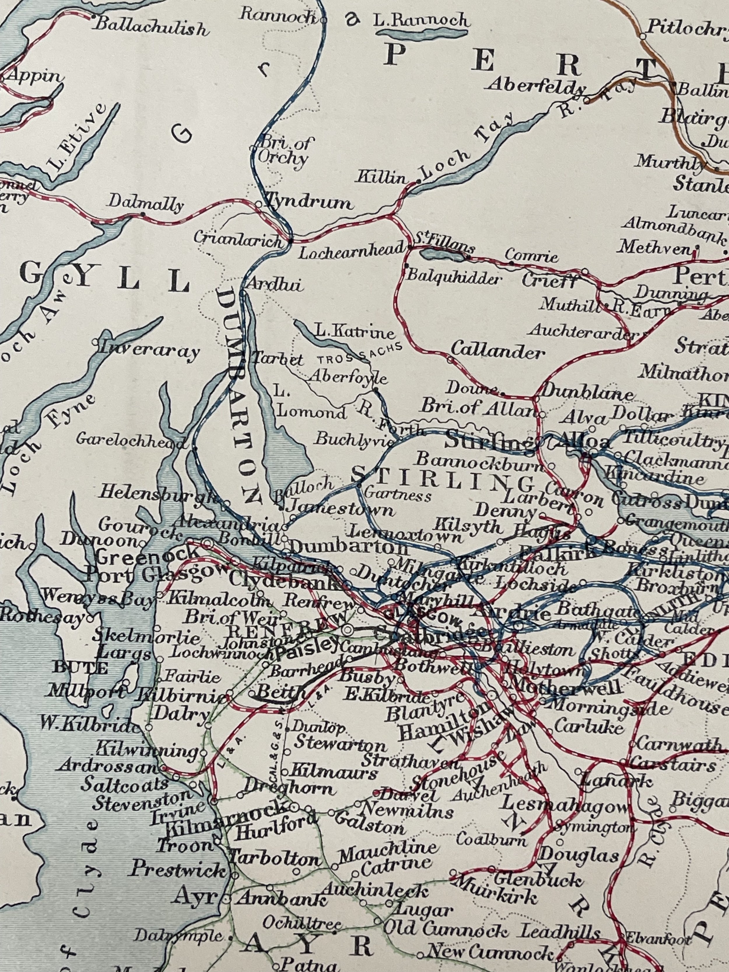
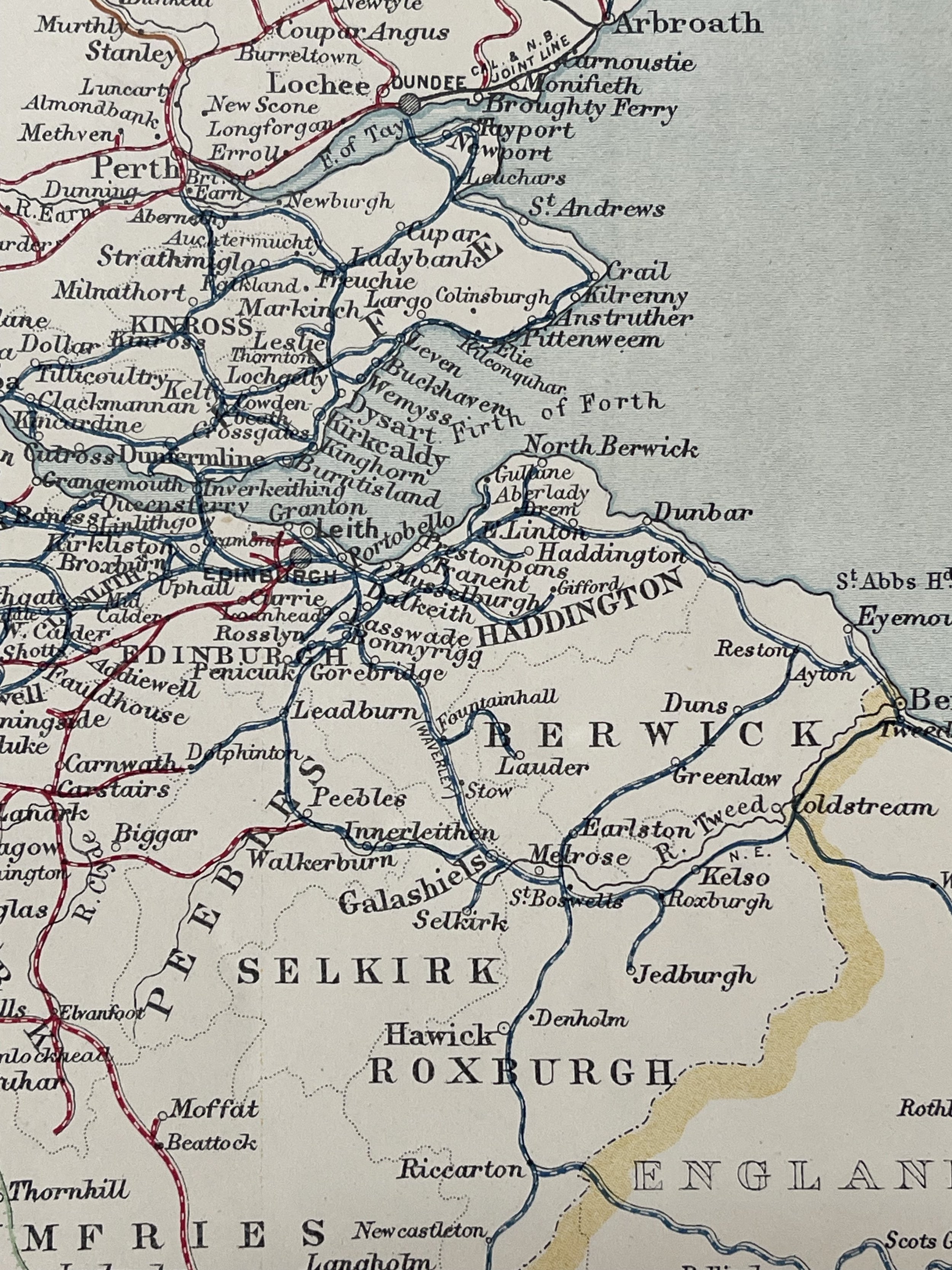
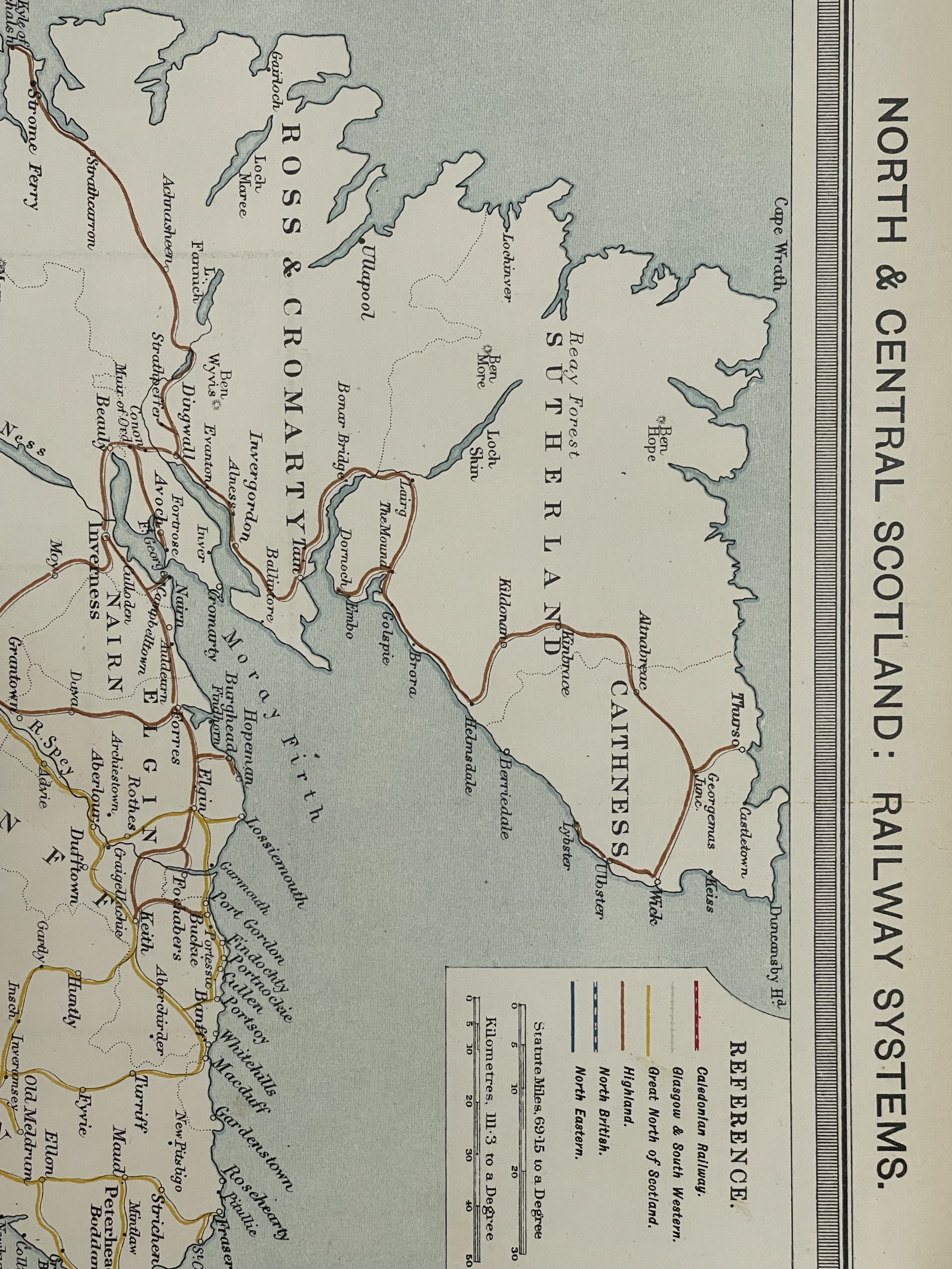
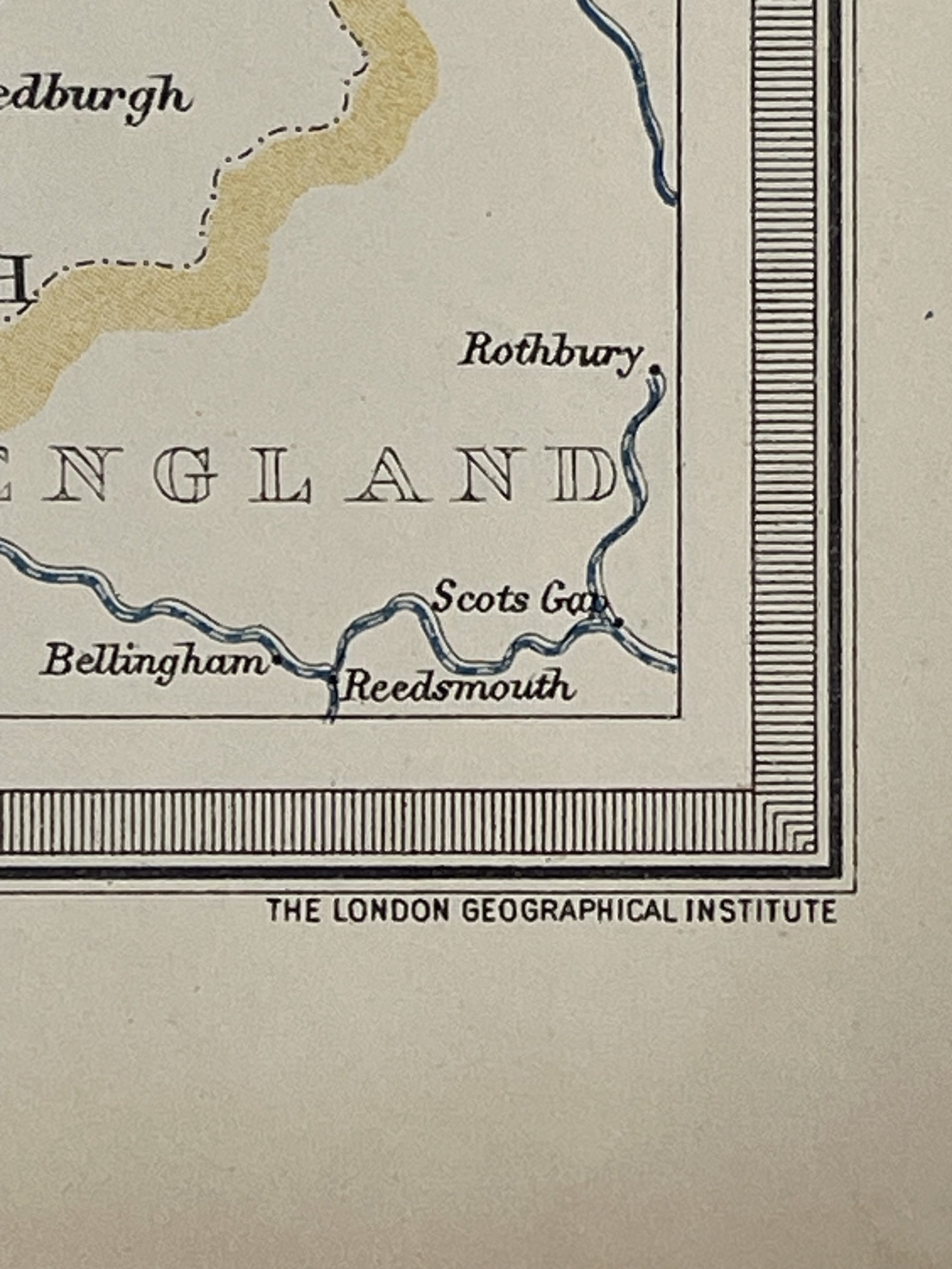
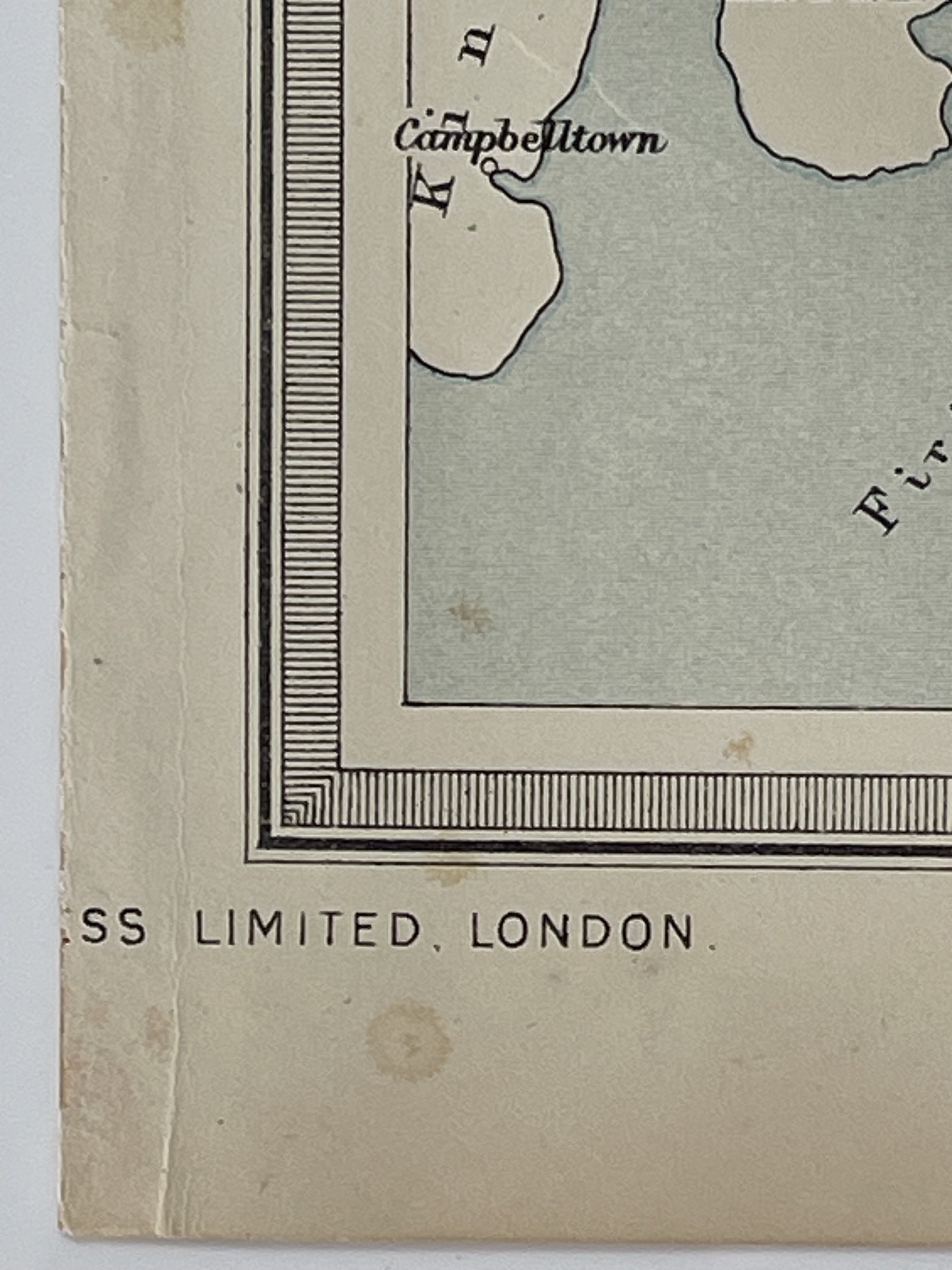
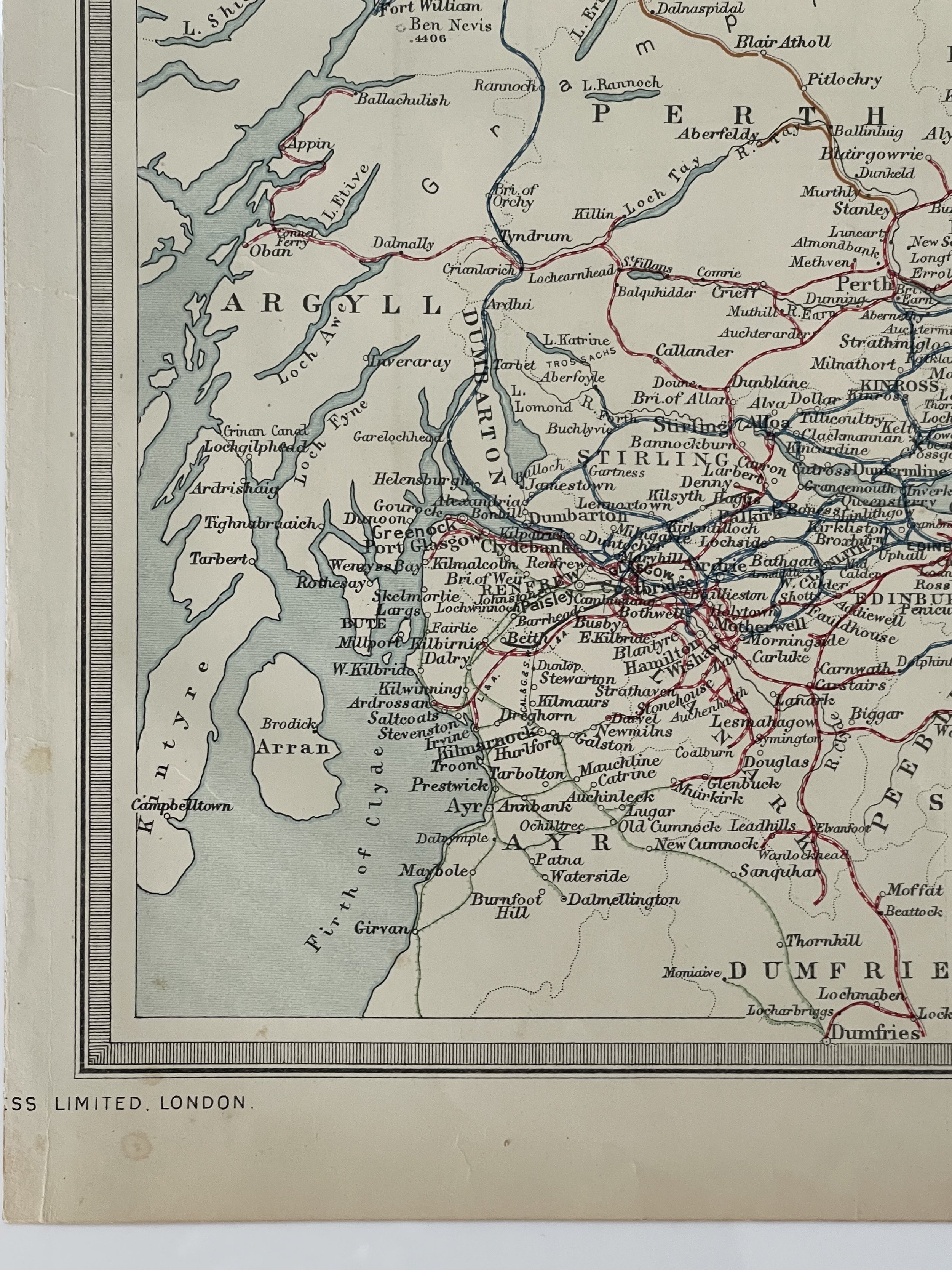
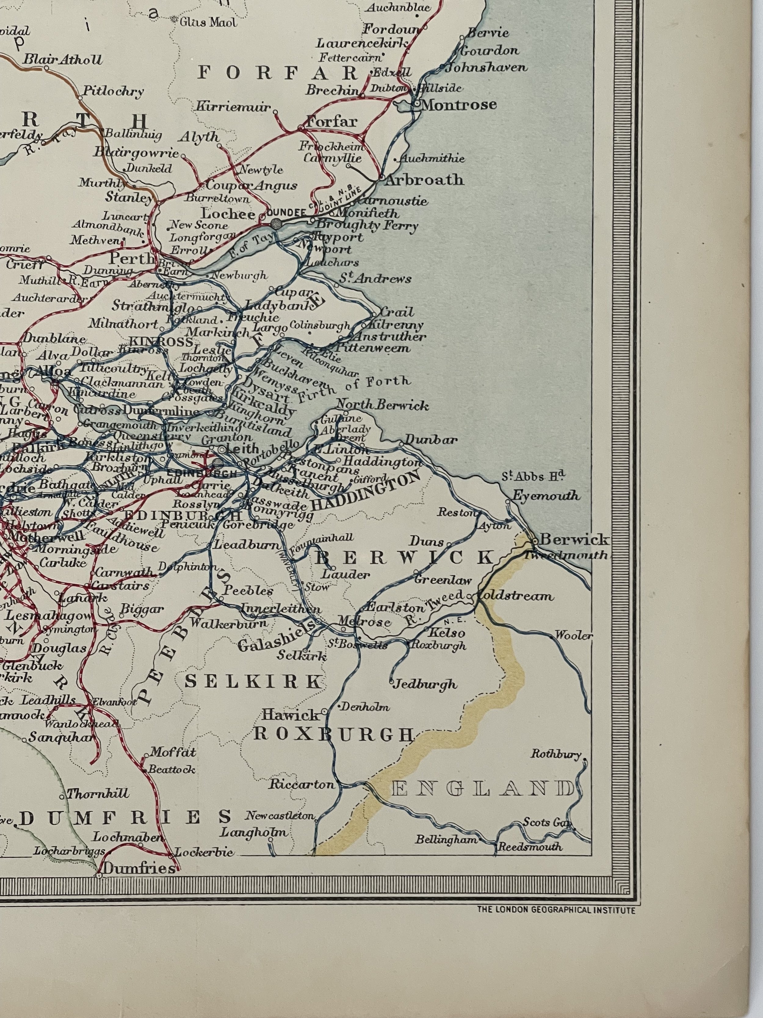
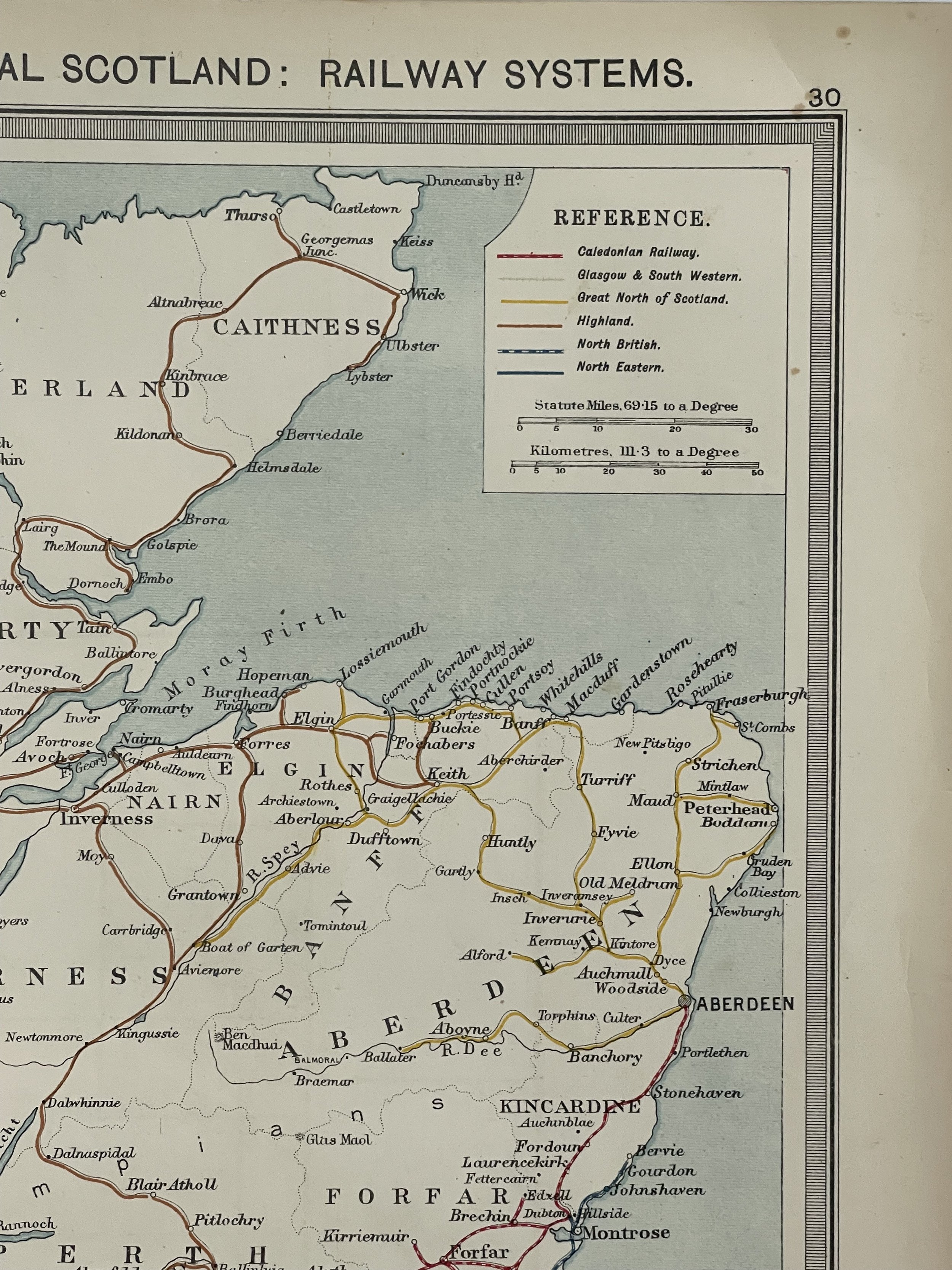
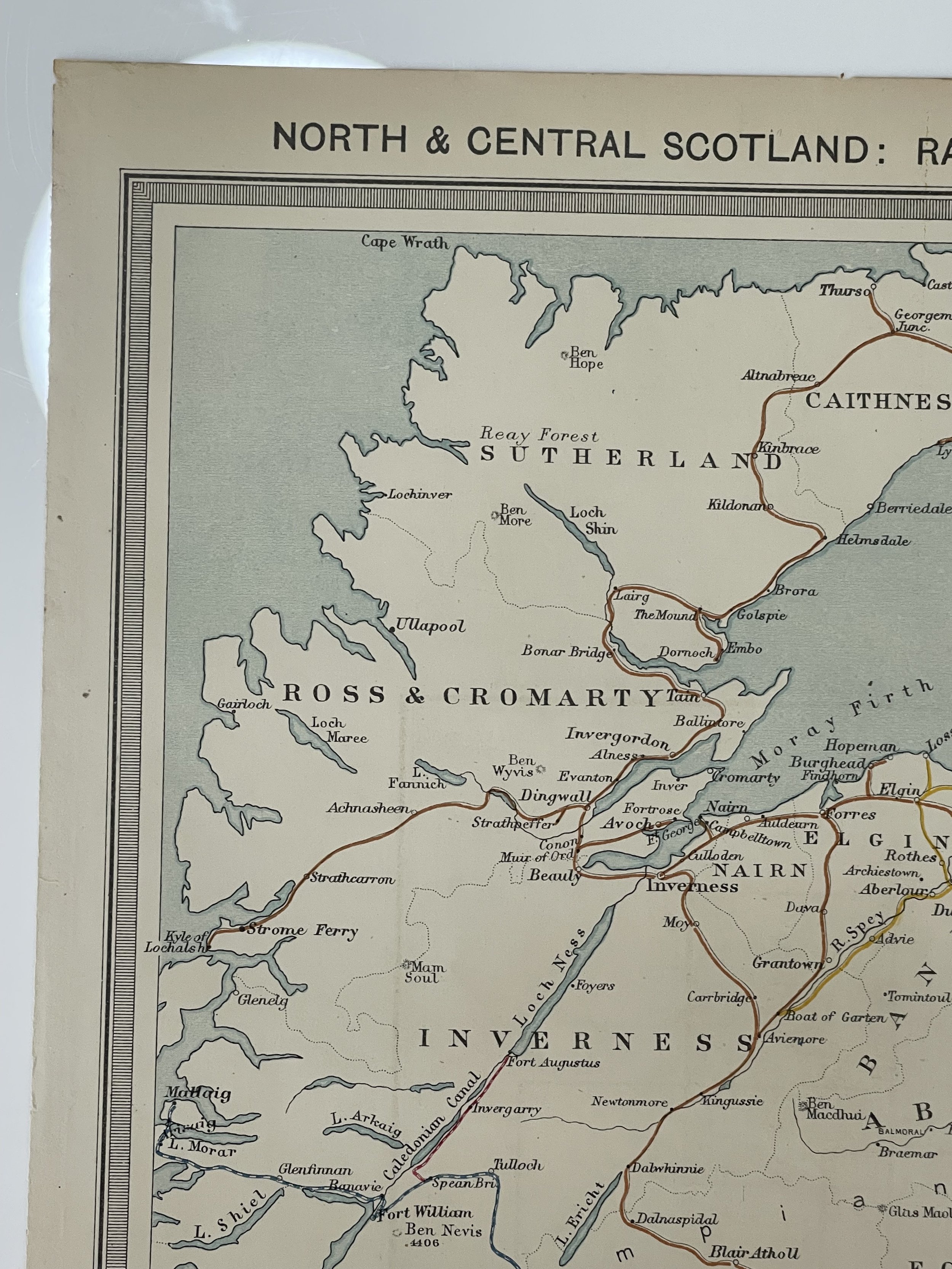
Beautifully detailed and coloured map of northern England, including Northumberland, York, Westmorland and Cumberland. Inset map feature Tynemouth, Isle of Man and Barrow. Railway systems illustrated include Caledonian, Glasgow & Southwestern, Great North of Scotland, Highland, North British and North Eastern.
George Phillip (1800 - 1882) was a cartographer and map publisher during the nineteenth century. Born in Aberdeenshire, Scotland, he founded his business in Liverpool, producing maps and educational books. His son, George II, joined the business in 1848 and they moved to London in 1856, trading under the name George Phillip & Son.
Originally producing maps from copper plates which were hand coloured (usually by women), they progressed to producing machine-coloured maps on a power-driven lithographic press by the latter half of the nineteenth century. They published maps from various cartographers including J. Bartholomew.
The London Geographical Institute.
Excellent condition - pricing and grading commensurate.
The North of England & South Scotland Railway Systems - George Philip / London Geographical Institute– 1900
Beautifully detailed and coloured map of northern England, including Northumberland, York, Westmorland and Cumberland. Inset map feature Tynemouth, Isle of Man and Barrow. Railway systems illustrated include Caledonian, Glasgow & Southwestern, Great North of Scotland, Highland, North British and North Eastern.
George Phillip (1800 - 1882) was a cartographer and map publisher during the nineteenth century. Born in Aberdeenshire, Scotland, he founded his business in Liverpool, producing maps and educational books. His son, George II, joined the business in 1848 and they moved to London in 1856, trading under the name George Phillip & Son.
Originally producing maps from copper plates which were hand coloured (usually by women), they progressed to producing machine-coloured maps on a power-driven lithographic press by the latter half of the nineteenth century. They published maps from various cartographers including J. Bartholomew.
The London Geographical Institute.
Excellent condition - pricing and grading commensurate.
Code : A443
Cartographer : Cartographer / Engraver / Publisher: George Phillip
Date : Publication Place / Date - 1900
Size : Sheet size: approx 26 x 39.5 Cm
Availability : Available
Type - Genuine - Antique
Grading A
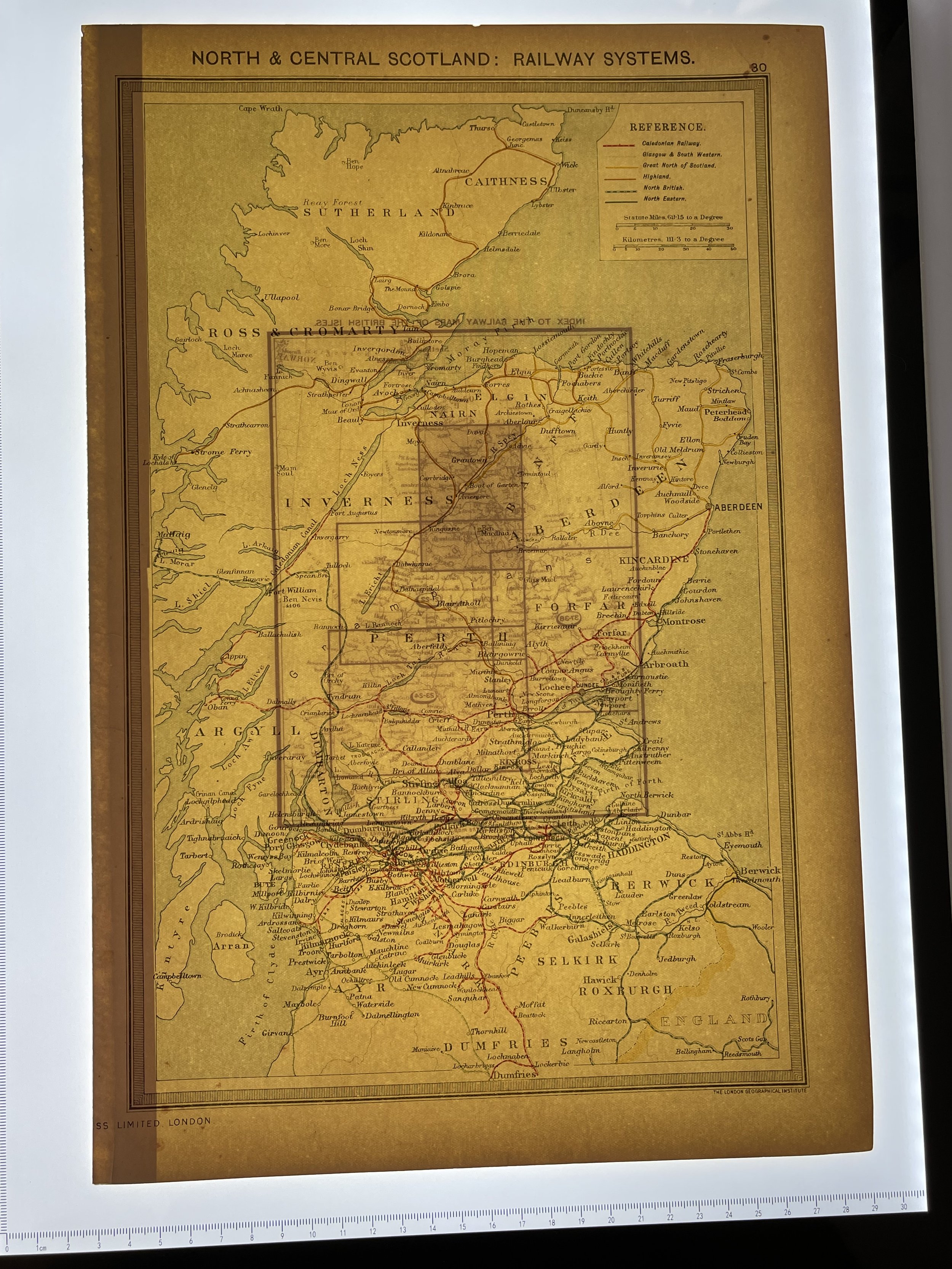
Where Applicable - Folds as issued. Light box photo shows the folio leaf centre margin hinge ‘glue’, this is not visible otherwise.
Tracked postage, in casement. Please contact me for postal quotation outside of the UK.