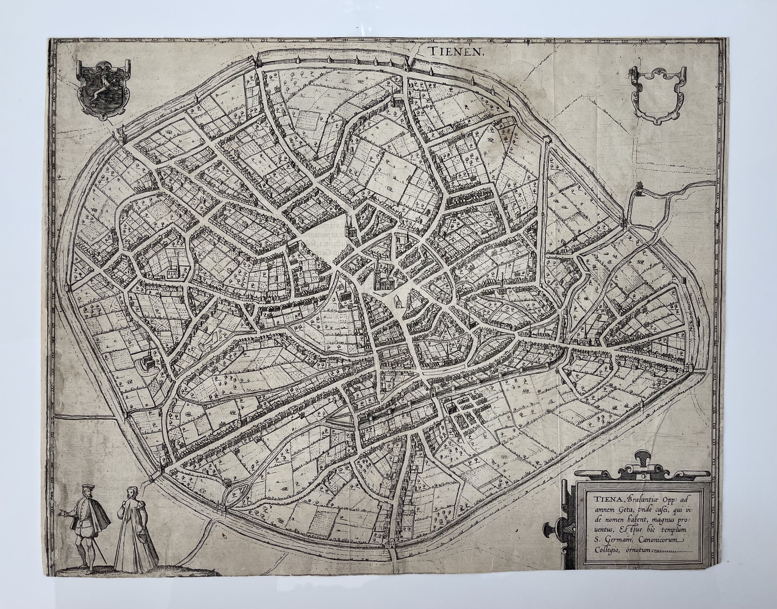
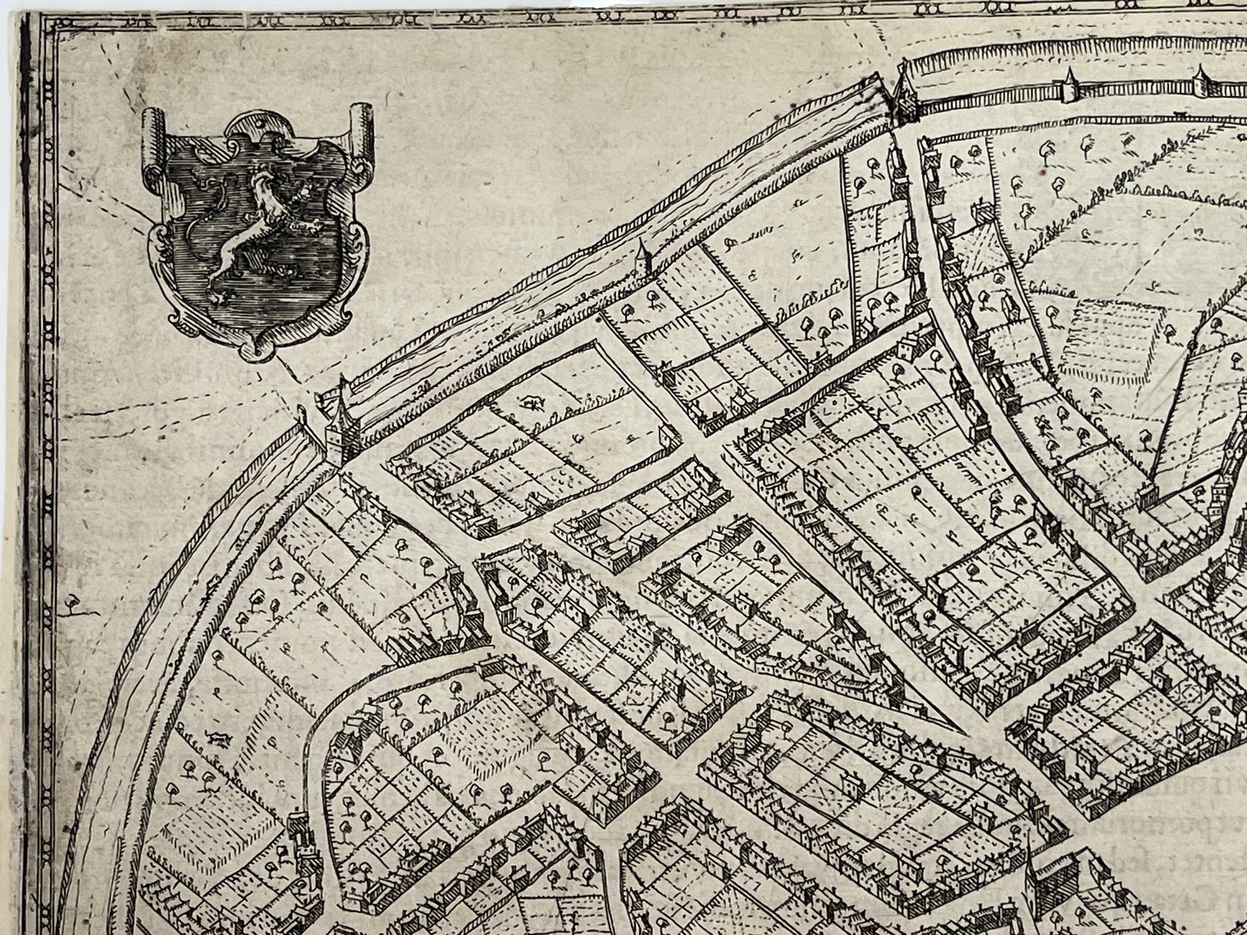
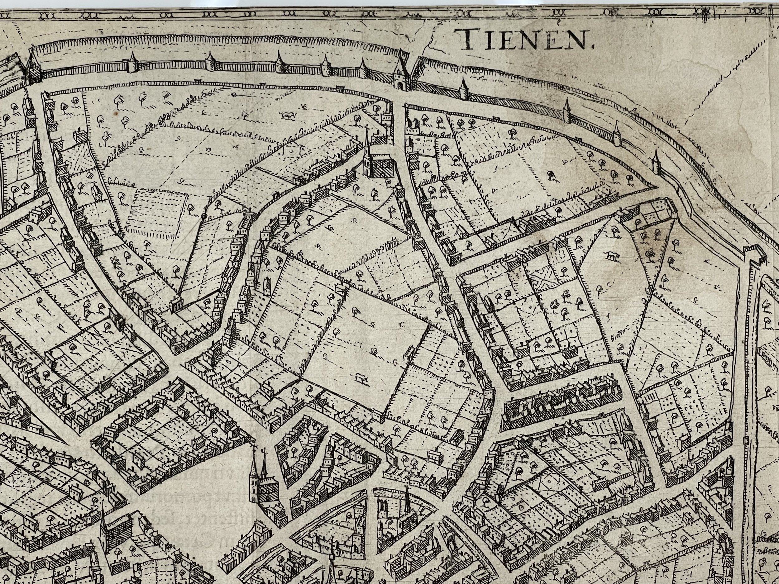
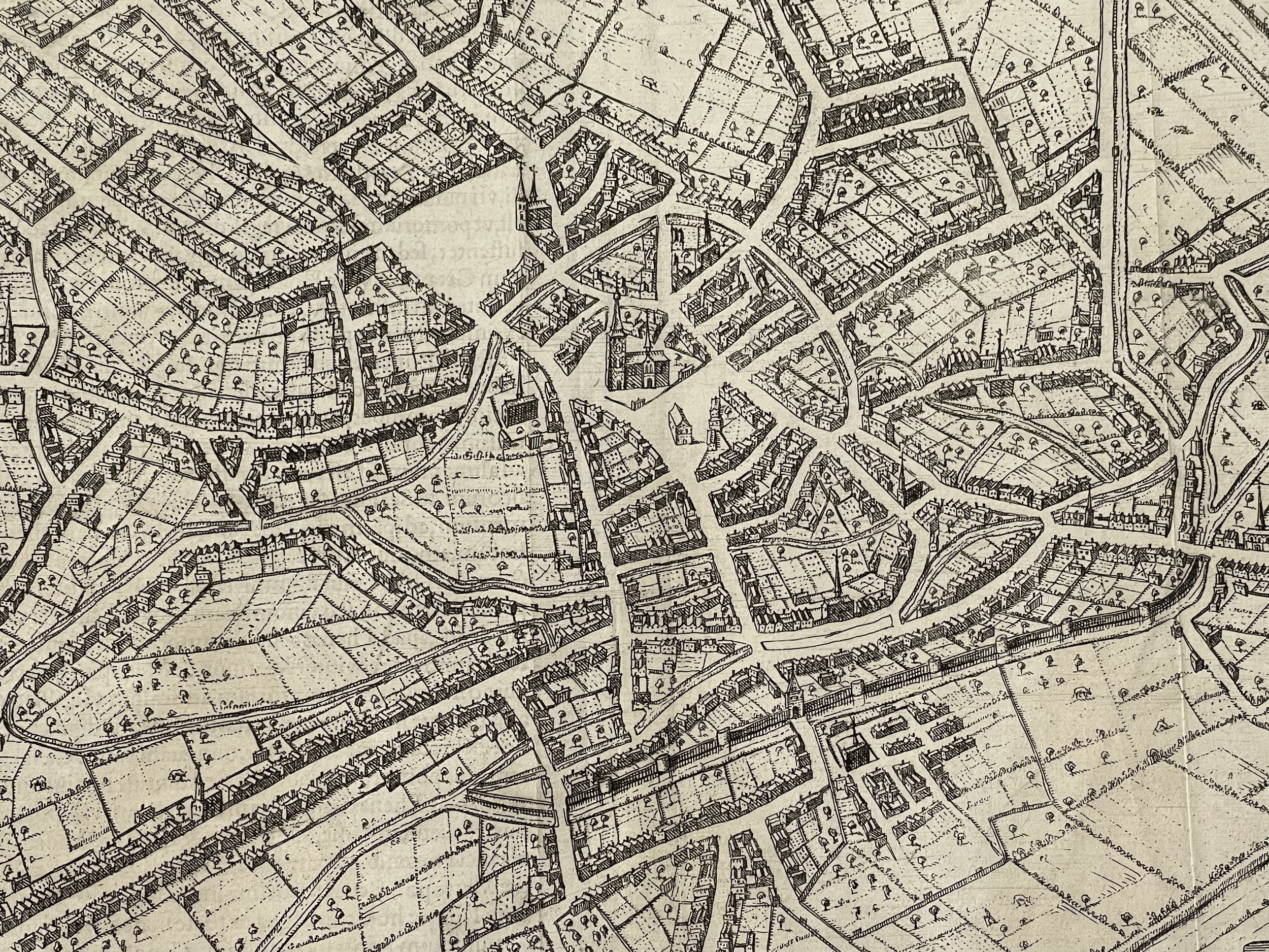
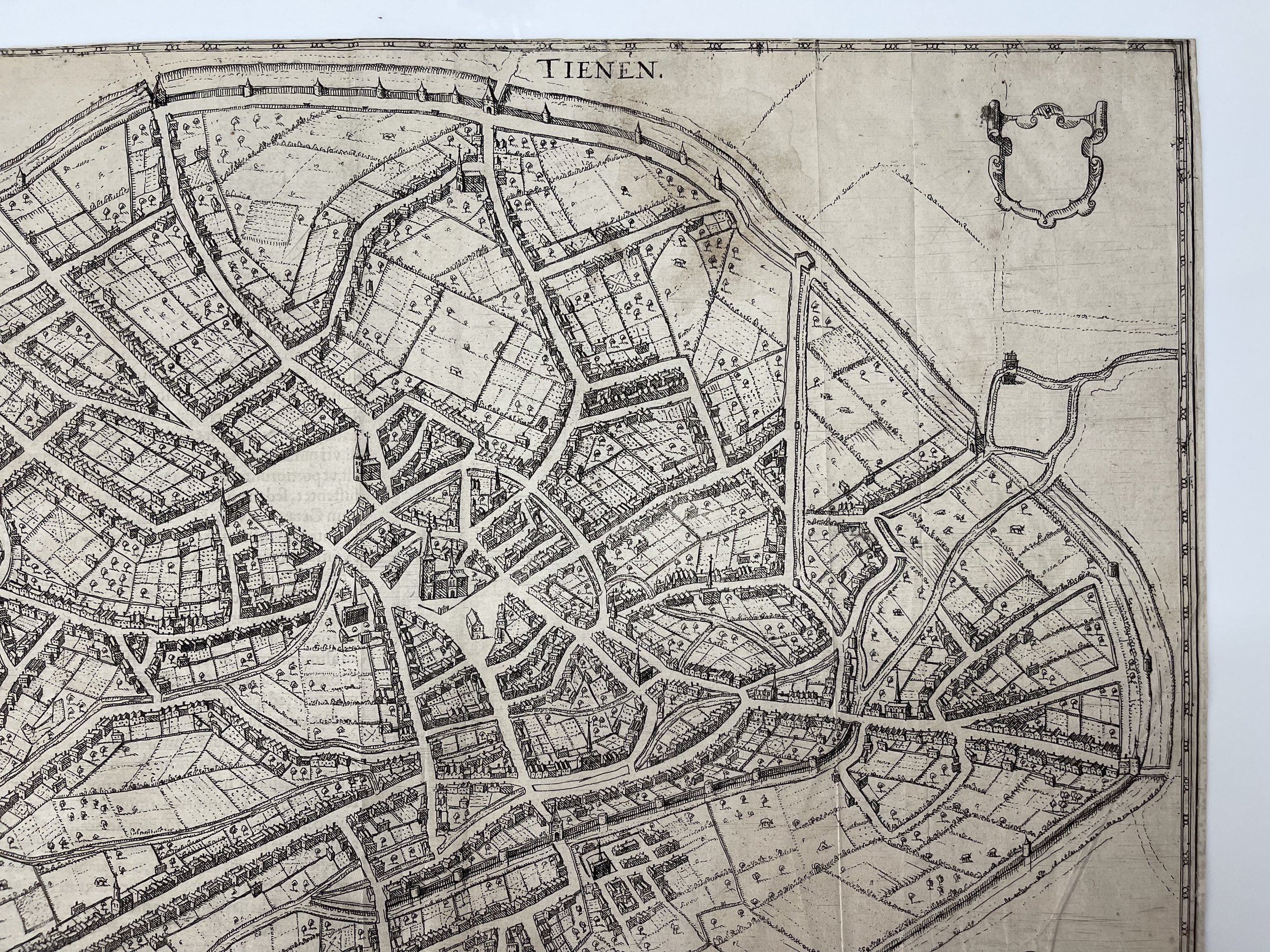
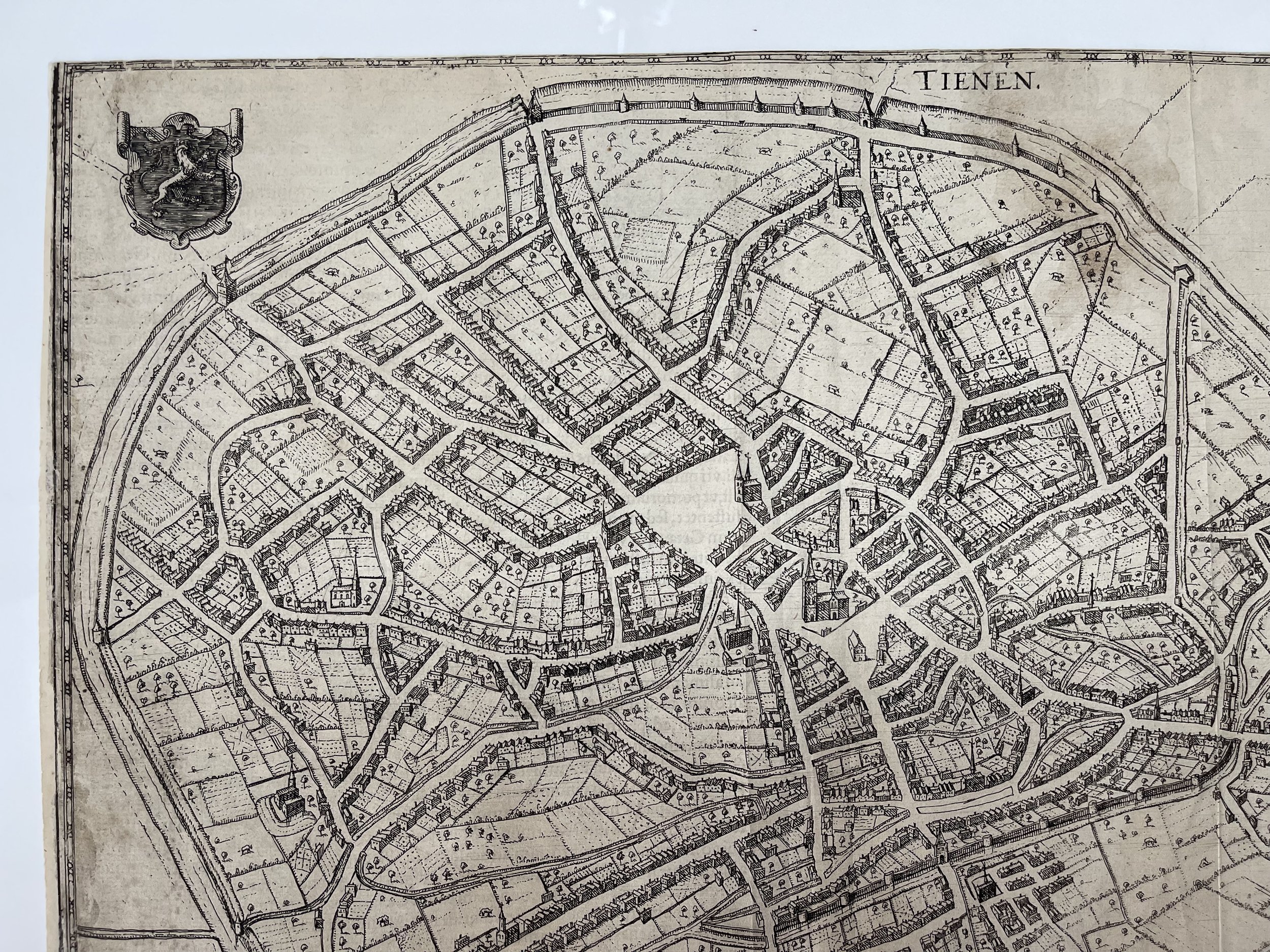
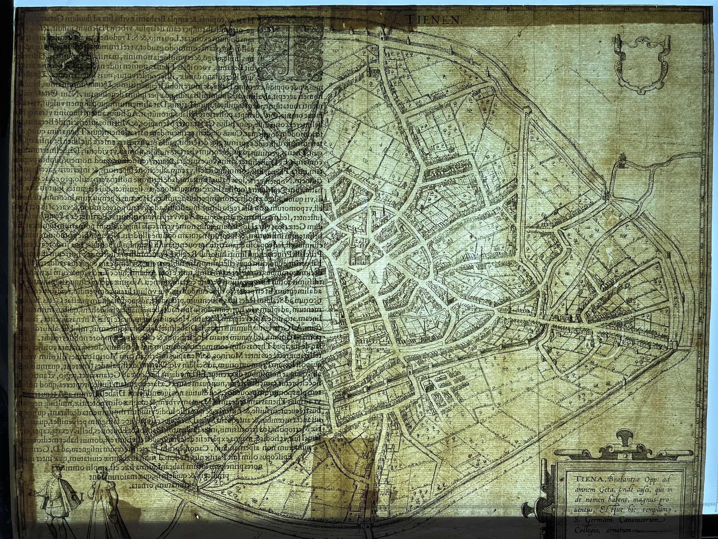
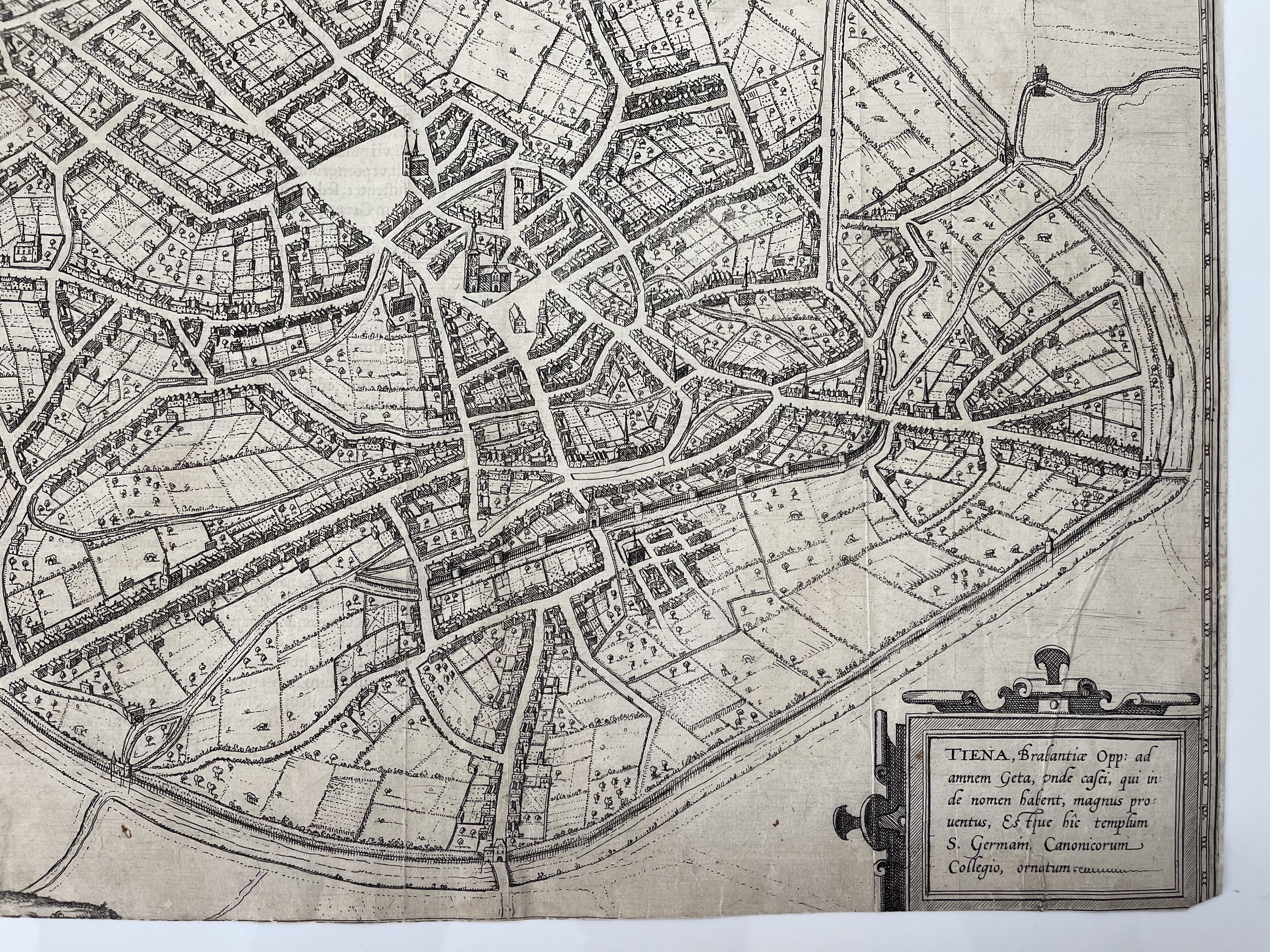
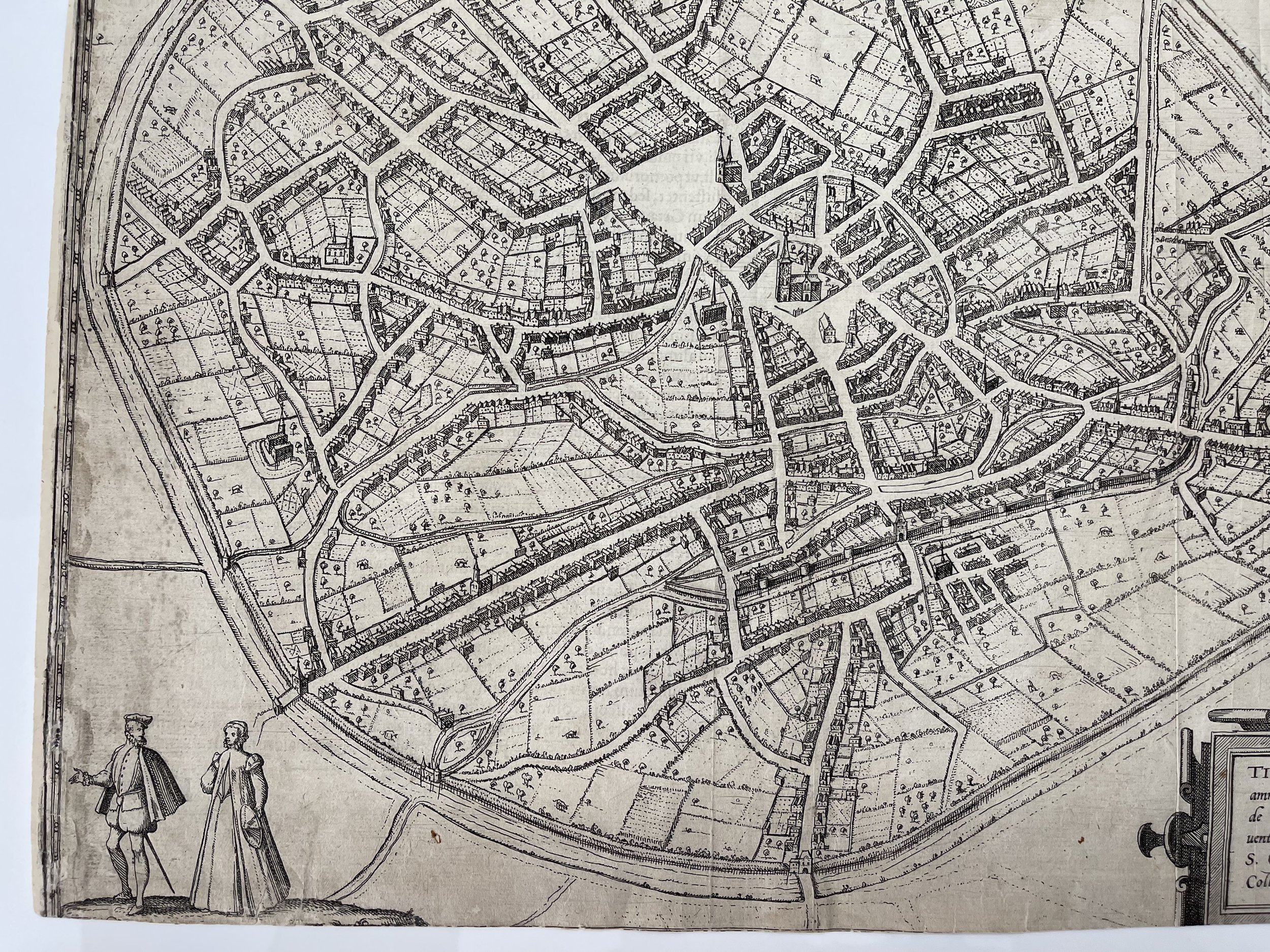
Tienen in Flemish Brabant - Georg Braun & Frans Hogenberg - Cologne 1572
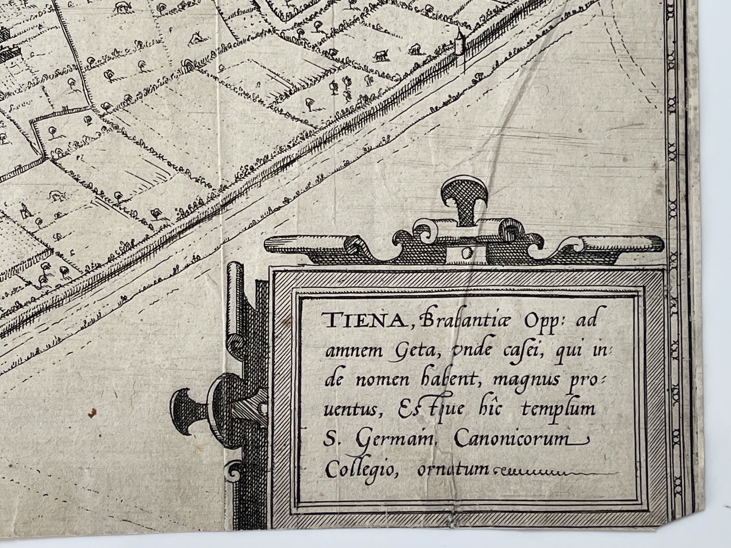
(Tienen) Tiena, Brabantiae Opp: ad amnem Geta, unde casei, qui inde nomen habent, magnus proventus, Estque hic templum S. Germani, Canonicorum Collegio, ornatum.
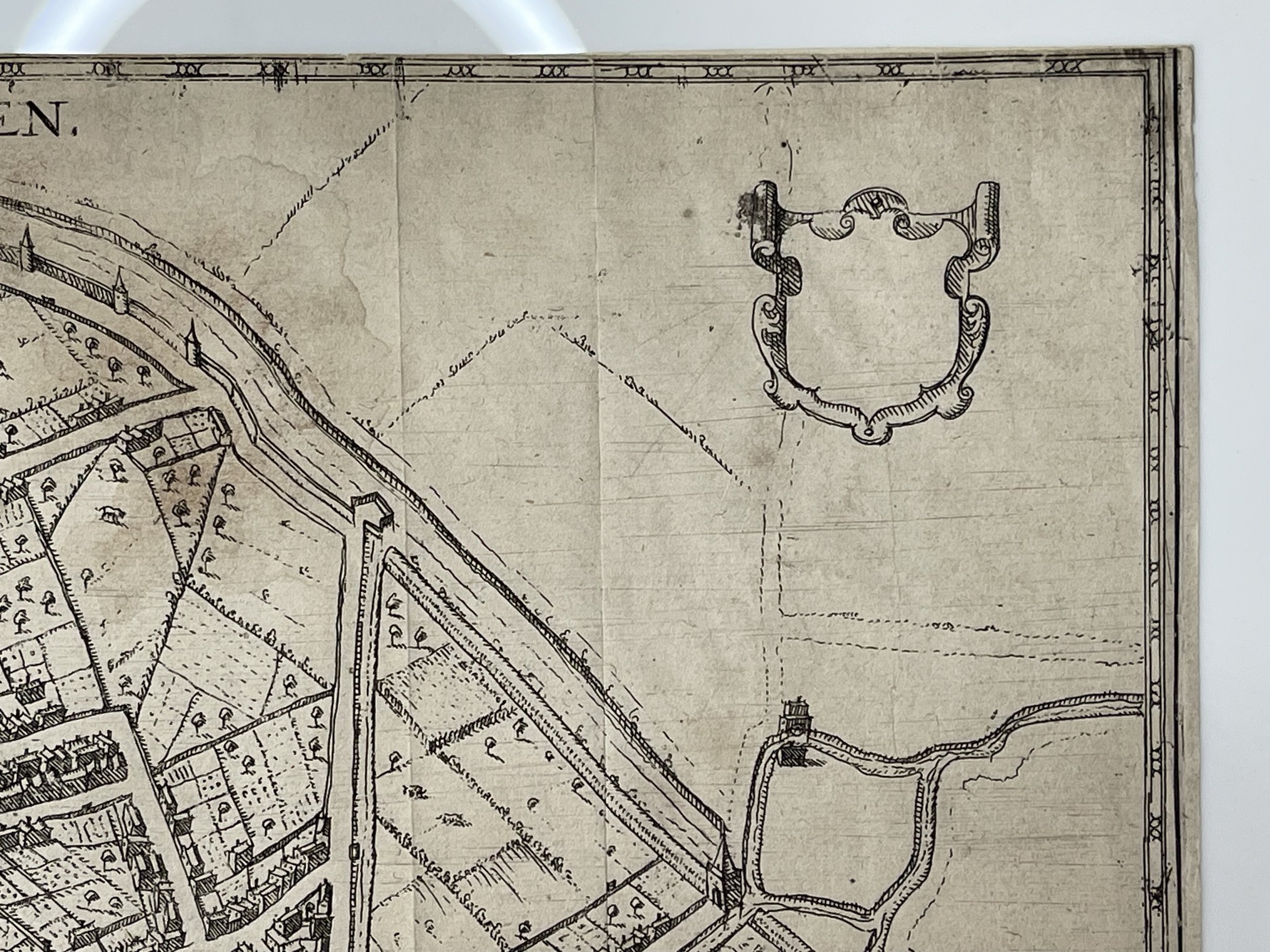
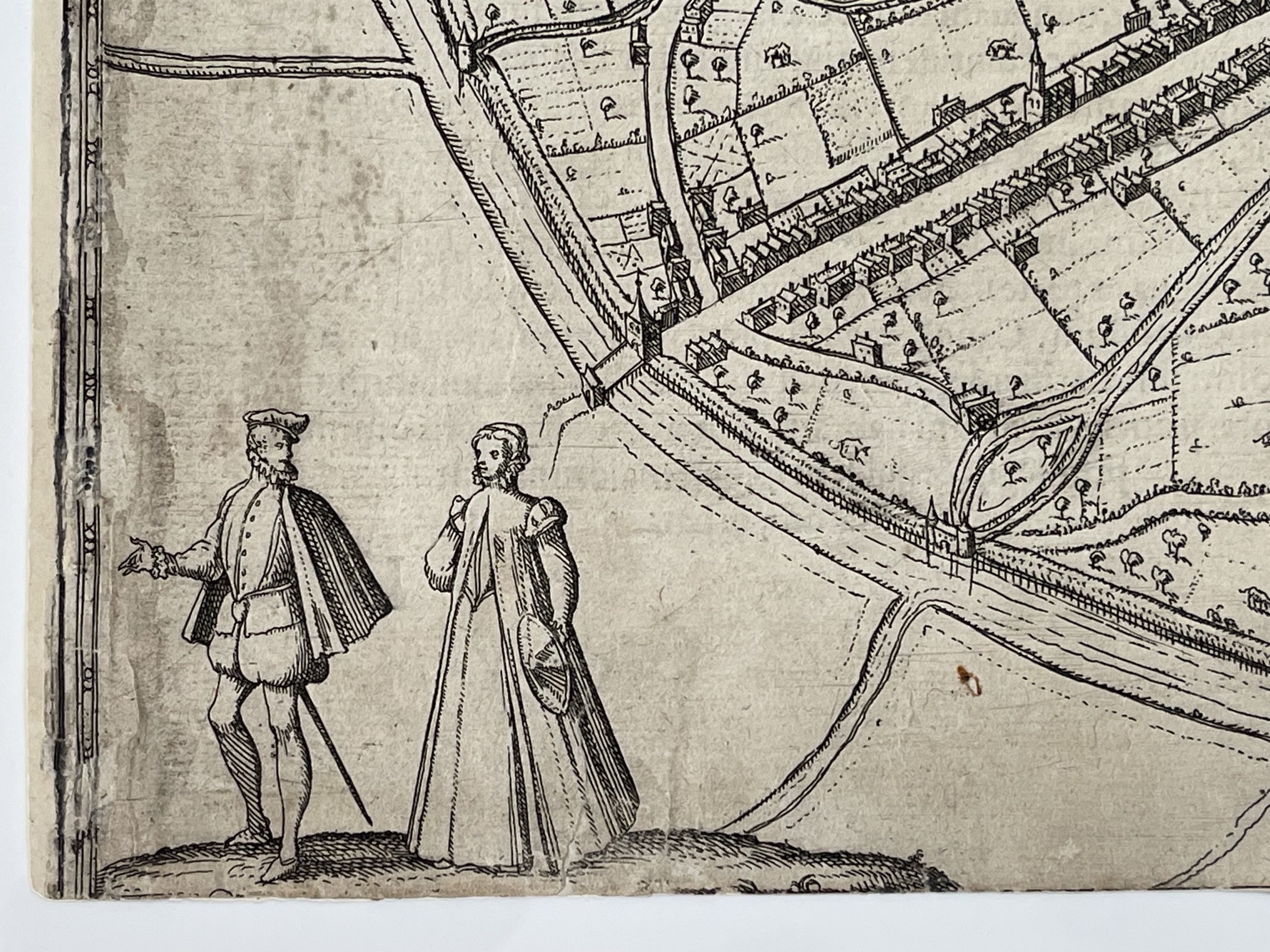
This original uncoloured copper-plate engraved antique map a birds eye city view of Tienen in Flemish Brabant was published by Georg Braun & Frans Hogenberg for the 1574 atlas of town plans Civiates Orbis Terrarum intended as a companion to Abraham Ortelius's master Atlas Theatrum Orbis Terrarum published in 1570.
Georg Braun (1541-1622) was born and died in Cologne. His primary vocation was as Catholic cleric; he spent thirty-seven years as canon and dean at the church St. Maria ad Gradus, in Cologne. Braun was the chief editor of the Civitates orbis terrarum, the greatest book of town views ever published. His job entailed hiring artists, acquiring source material for the maps and views, and writing the text. In this role, he was assisted by Abraham Ortelius. Braun lived into his 80s, and he was the only member of the original team to witness the publication of the sixth volume in 1617.
Frans Hogenberg (ca. 1540-ca. 1590) was a Flemish and German engraver and mapmaker who also painted. He was born in Mechelen, south of Antwerp, the son of wood engraver and etcher Nicolas Hogenberg. Together with his father, brother (Remigius), uncle, and cousins, Frans was one member of a prominent artistic family in the Netherlands.
During the 1550s, Frans worked in Antwerp with the famous mapmaker Abraham Ortelius. There, he engraved the maps for Ortelius’ groundbreaking first atlas, published in Antwerp in 1570, along with Johannes van Deotecum and Ambrosius and Ferdinand Arsenius. It is suspected he engraved the title page as well. Later, Ortelius supported Hogenberg with information for a different project, the Civitates orbis terrarium (edited by Georg Braun, engraved by Hogenberg, published in six volumes, Cologne, 1572-1617). Hogenberg engraved most of the the work’s 546 prospects and views.
It is possible that Frans spent some time in England while fleeing from religious persecution, but he was living and working in Cologne by 1580. That is the city where he died around 1590. In addition to his maps, he is known for his historical allegories and portraits. His brother, Remigius, also went on to some fame as an engraver, and he died around the same time as his brother.
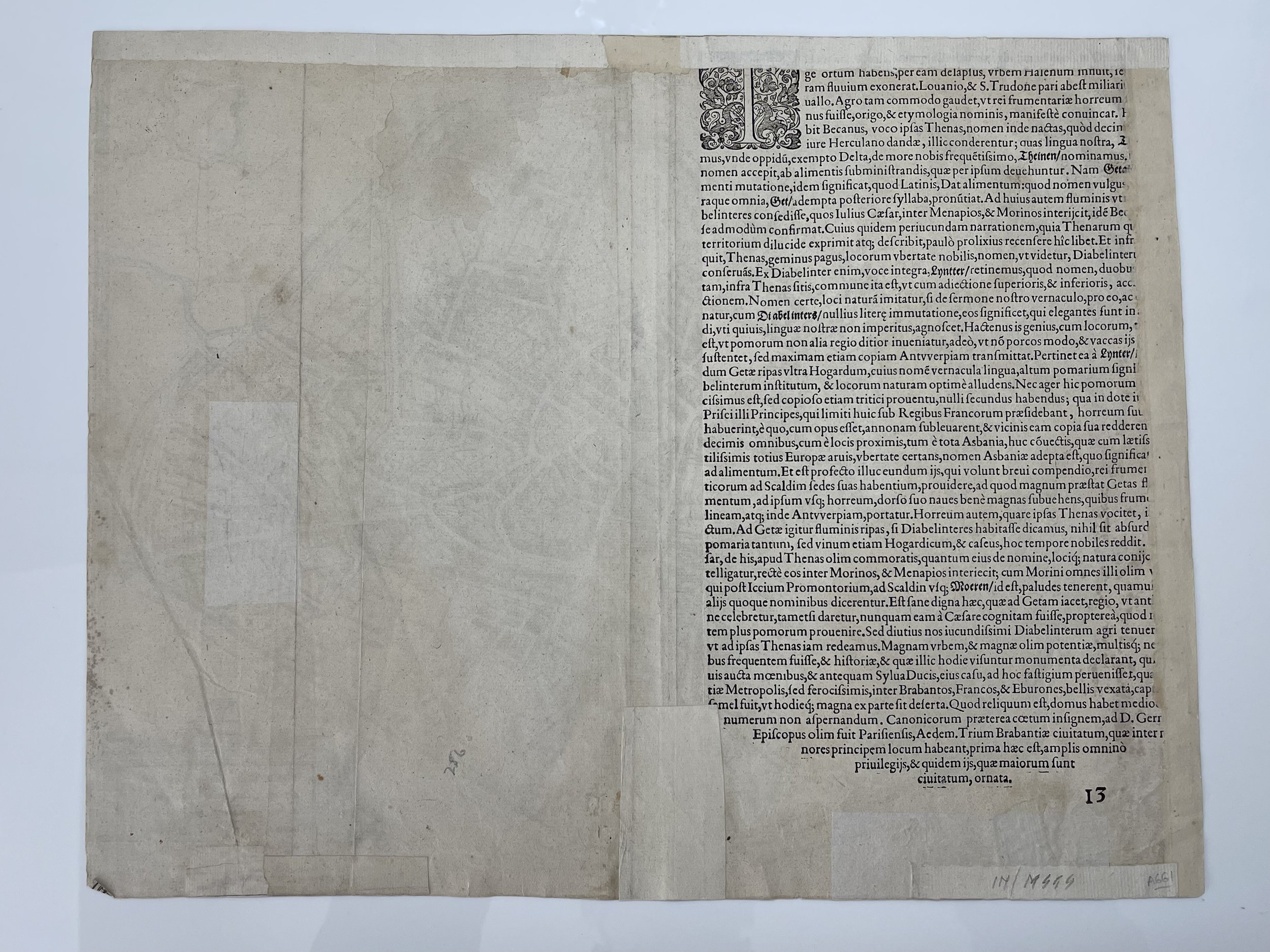
Engraving in great condition for its over 450 years of age. Pricing and grading commensurate. Atlas Text to verso.
Code : A661
Cartographer : Cartographer / Engraver / Publisher: Braun & Hogenberg
Date : Publication Place / Date - Circa 1572
Size : Sheet size: Image Size: 42 x 33 cm
Availability : Available
Type - Genuine - Antique
Grading A-
Where Applicable - Folds as issued. Light box photo shows the folio leaf centre margin hinge ‘glue’, this is not visible otherwise.
Tracked postage, in casement. Please contact me for postal quotation outside of the UK.
