 Image 1 of 24

 Image 2 of 24

 Image 3 of 24

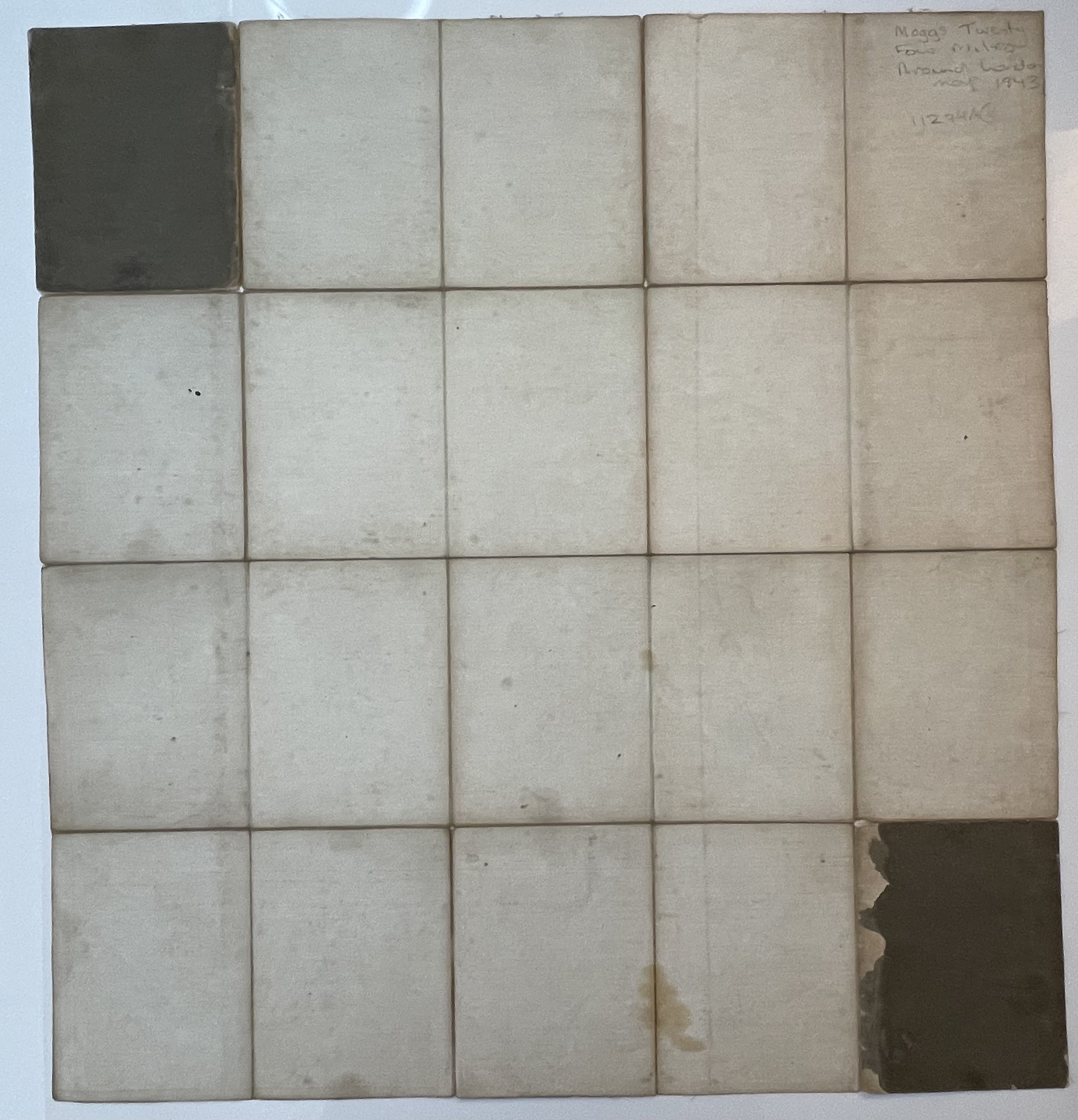 Image 4 of 24

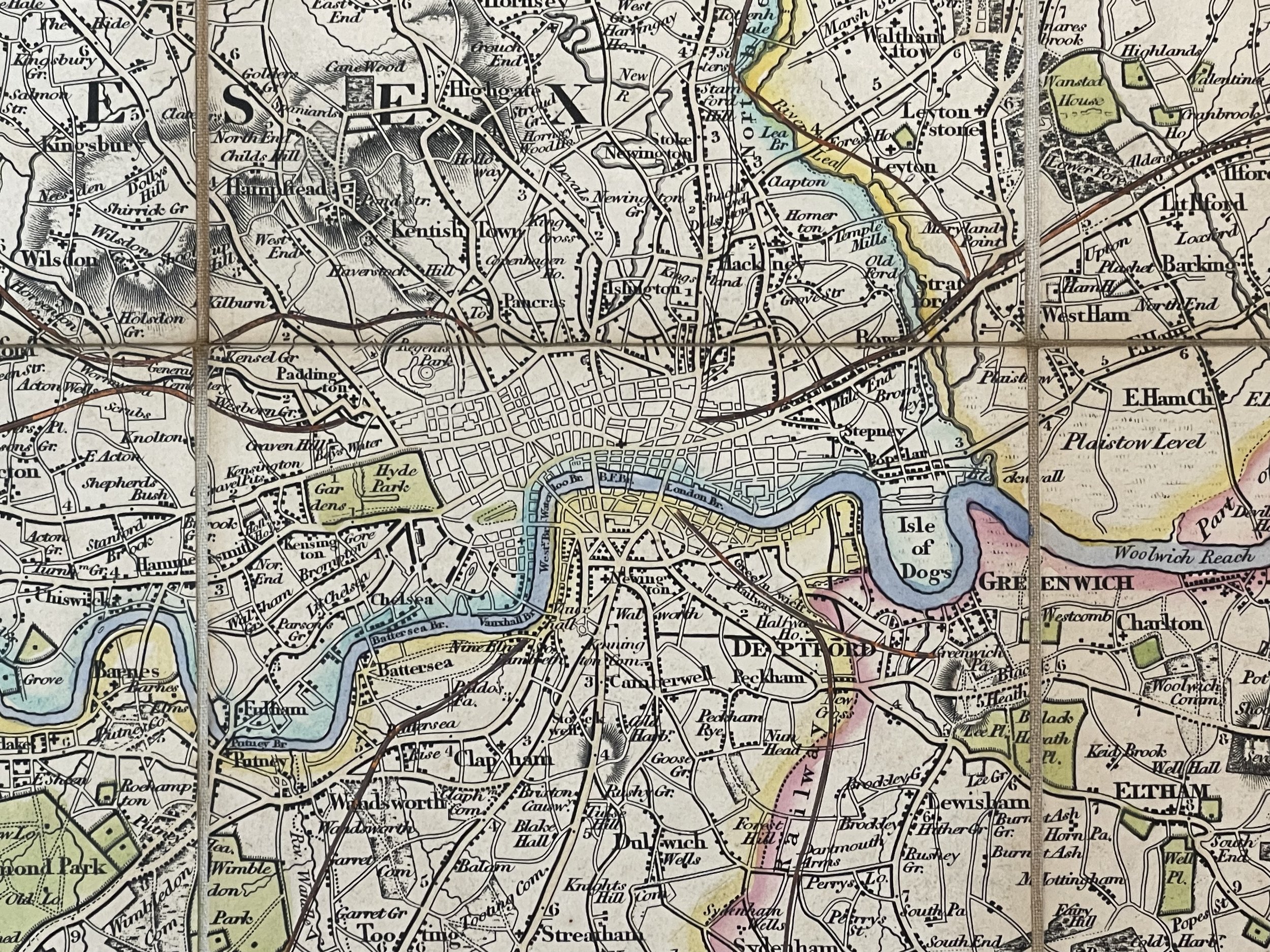 Image 5 of 24

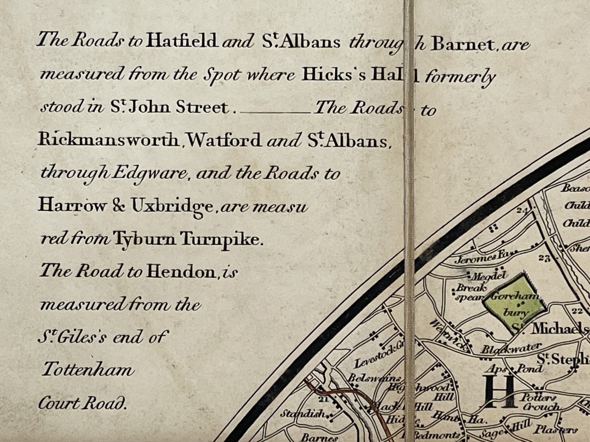 Image 6 of 24

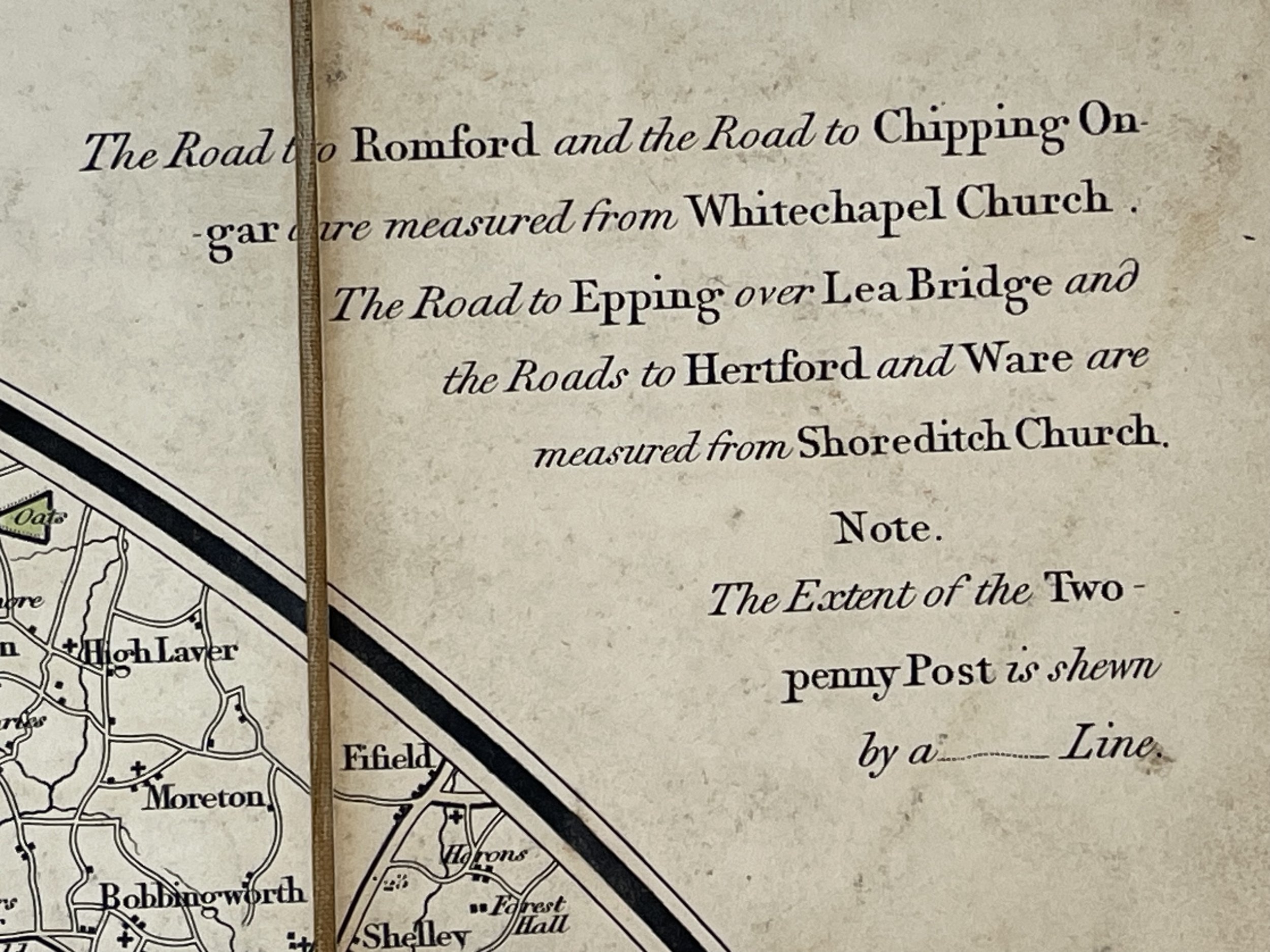 Image 7 of 24

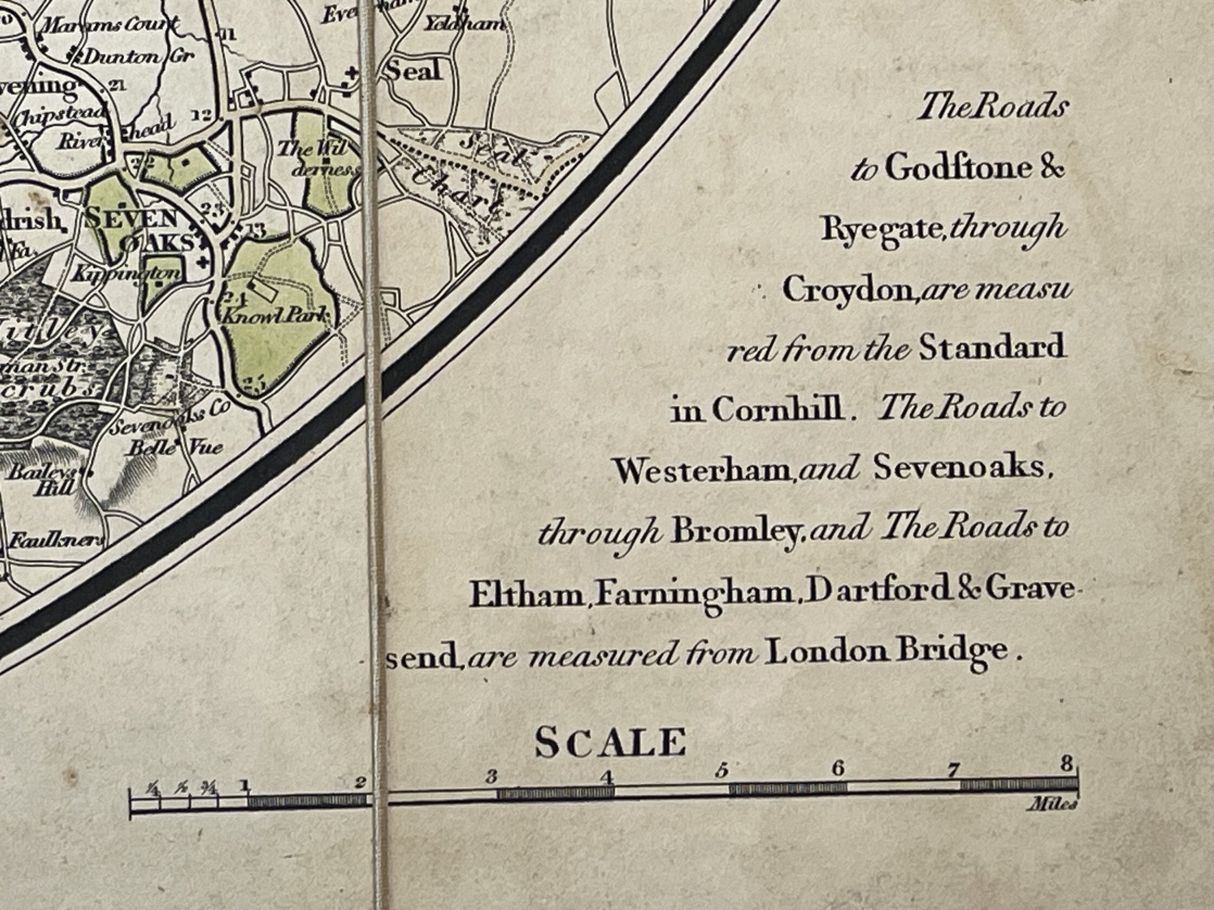 Image 8 of 24

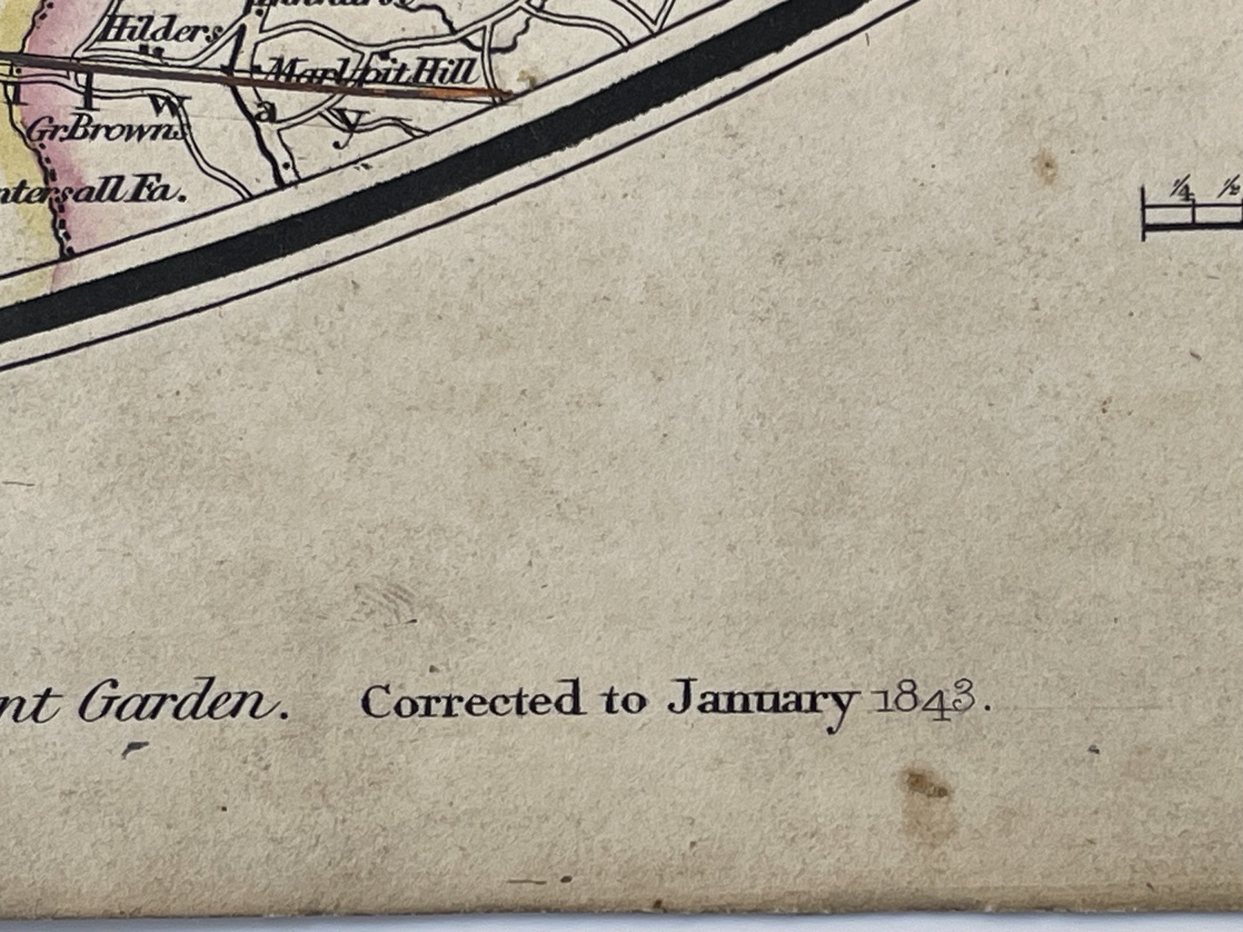 Image 9 of 24

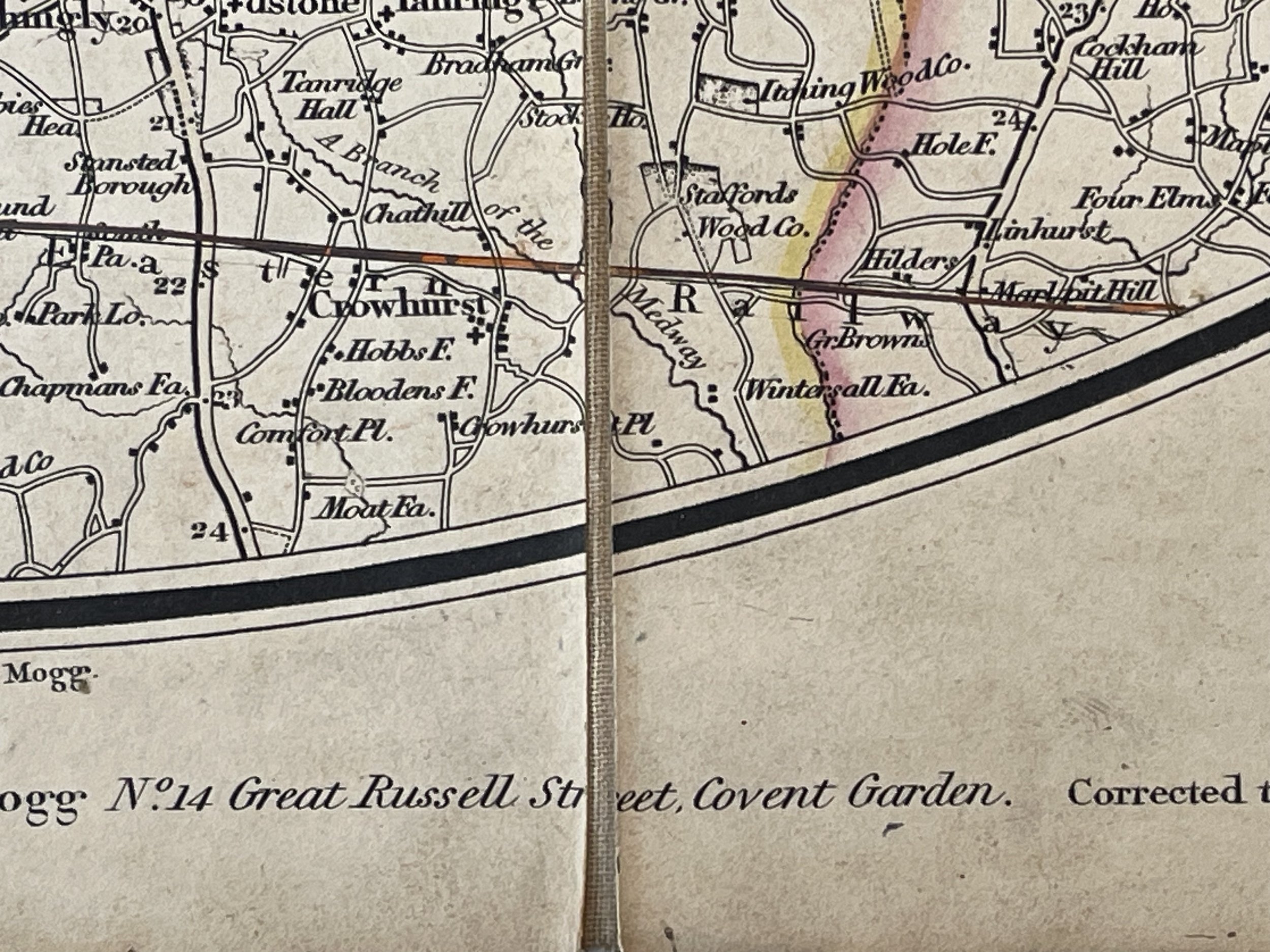 Image 10 of 24

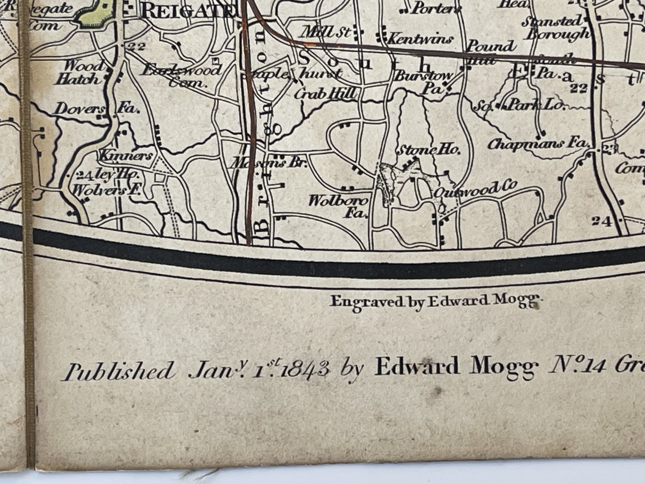 Image 11 of 24

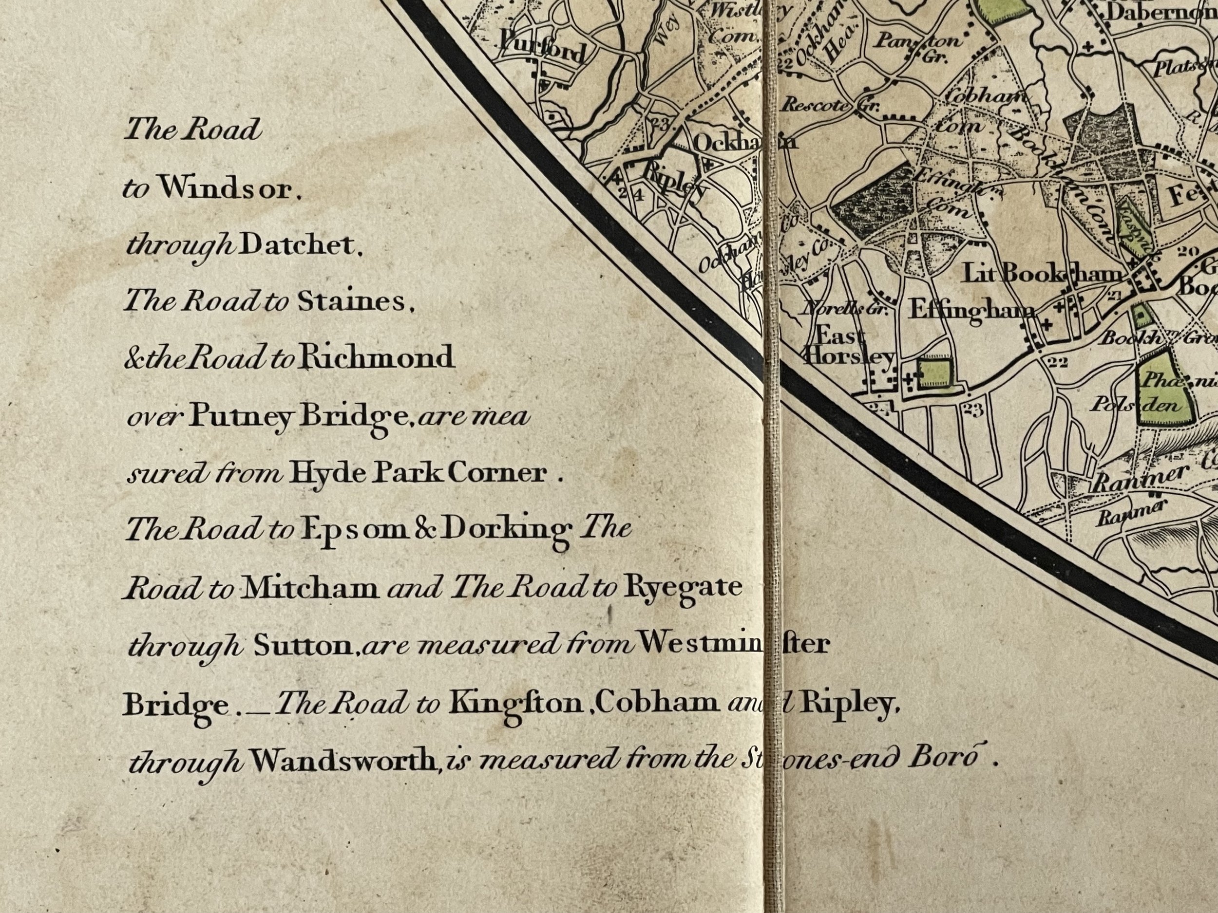 Image 12 of 24

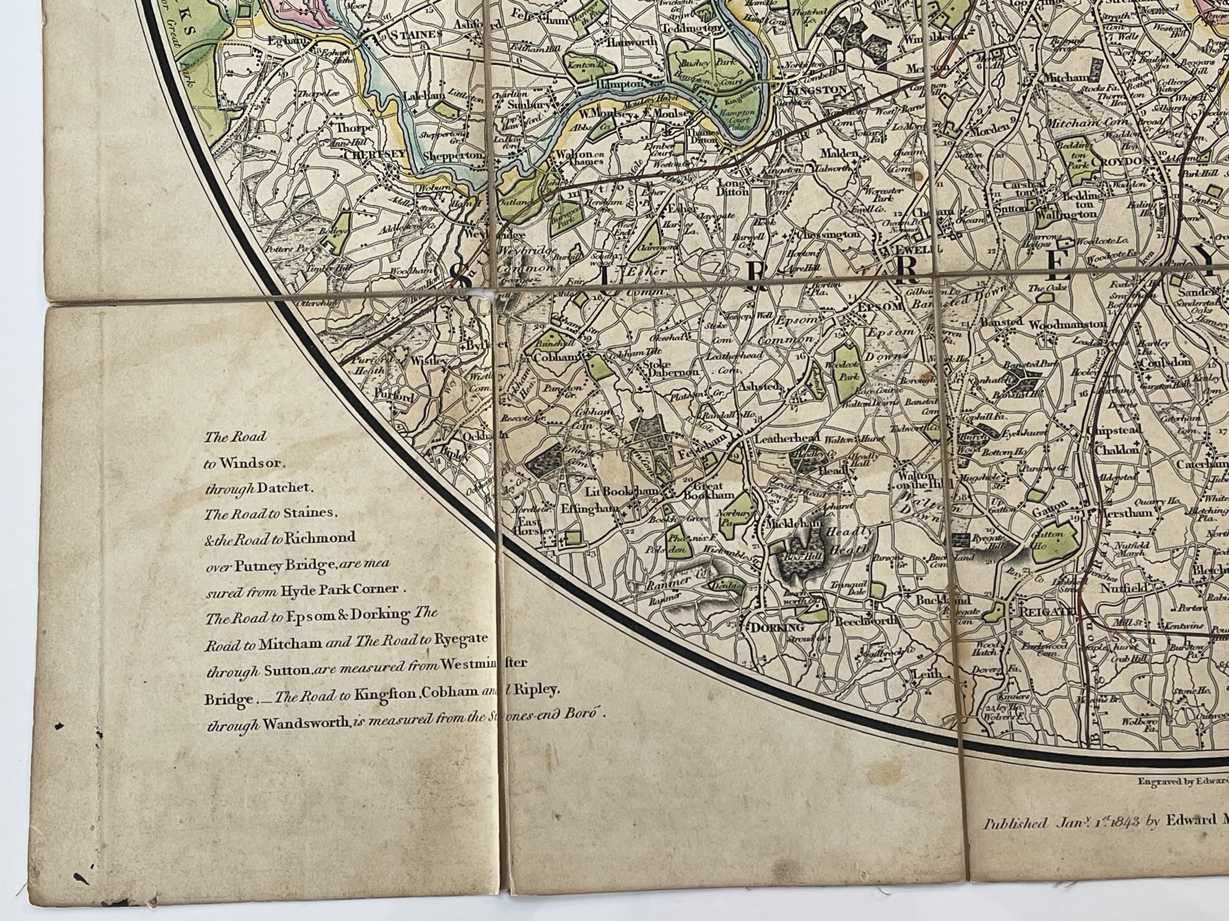 Image 13 of 24

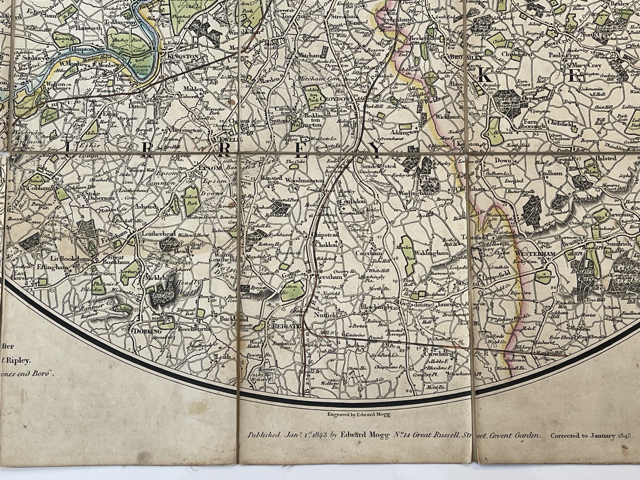 Image 14 of 24

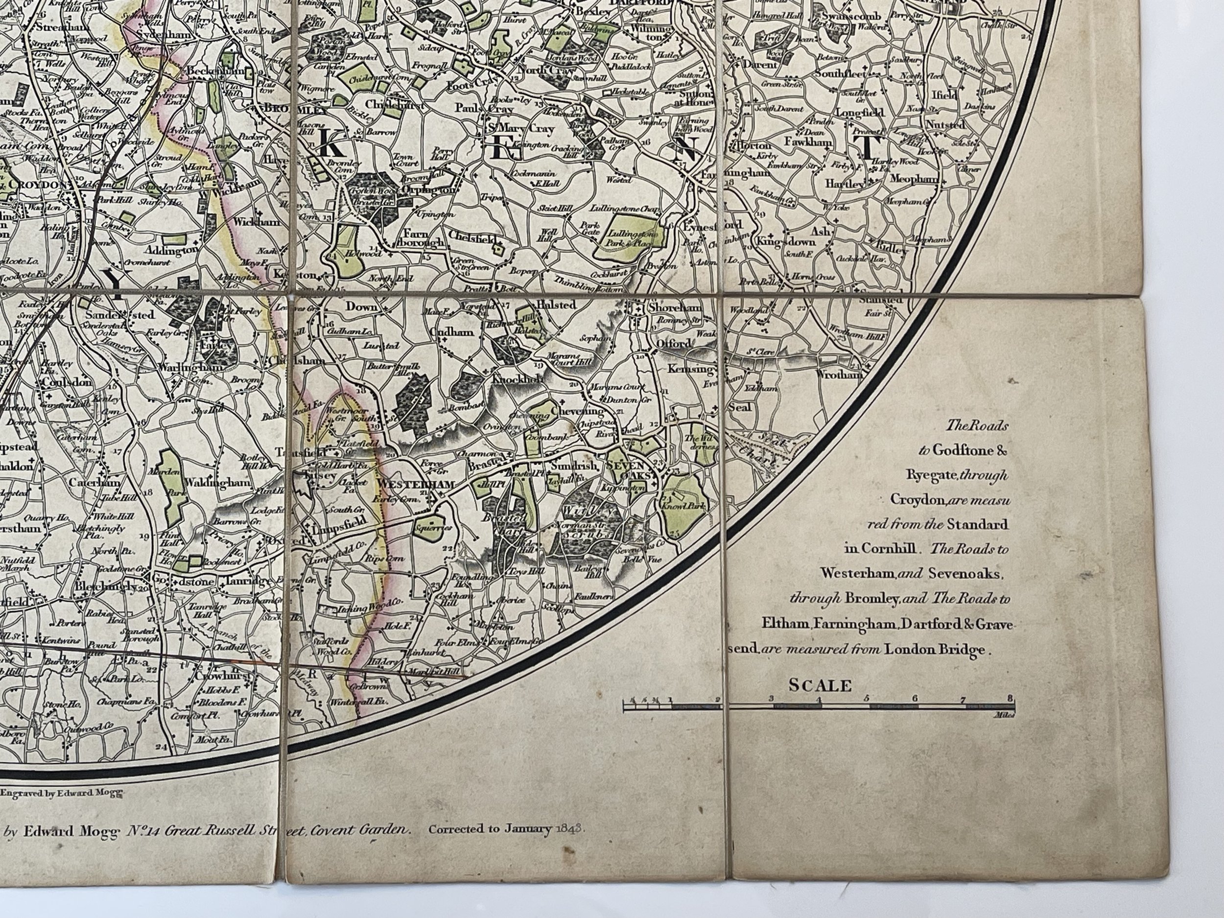 Image 15 of 24

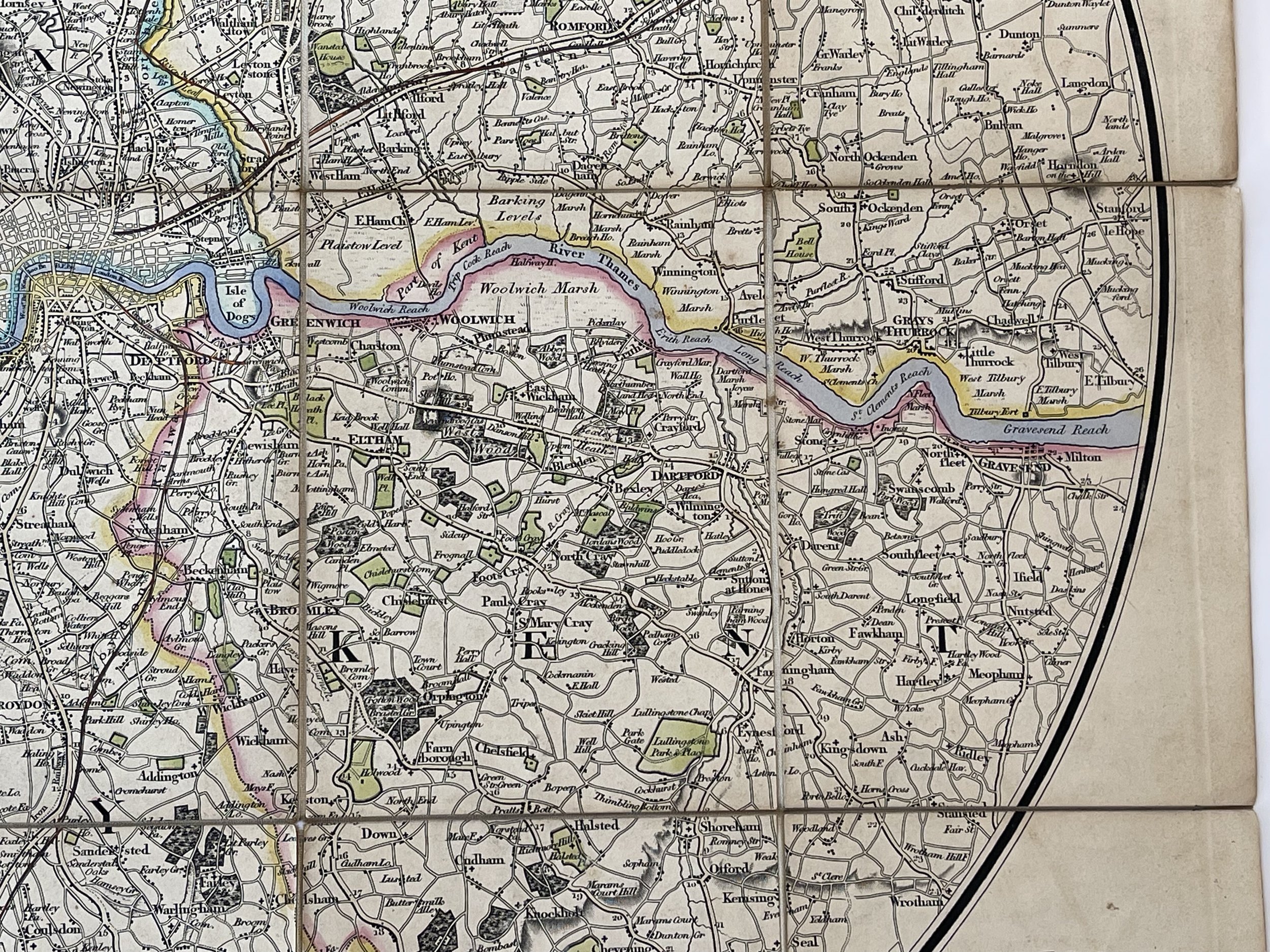 Image 16 of 24

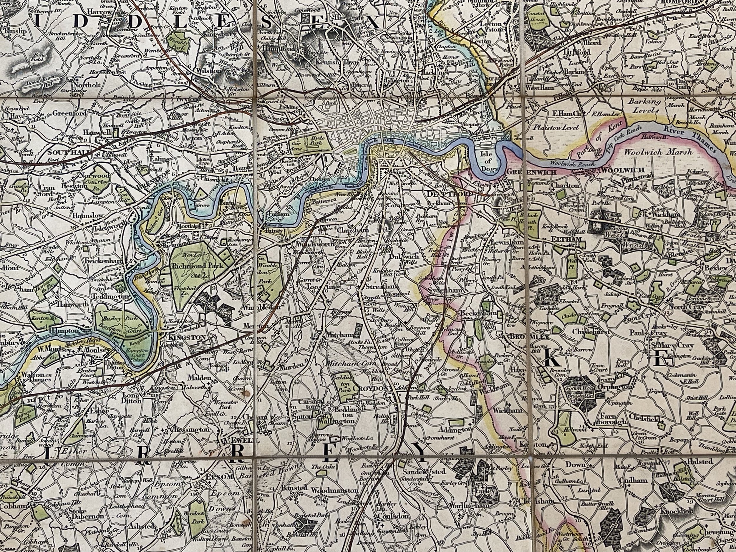 Image 17 of 24

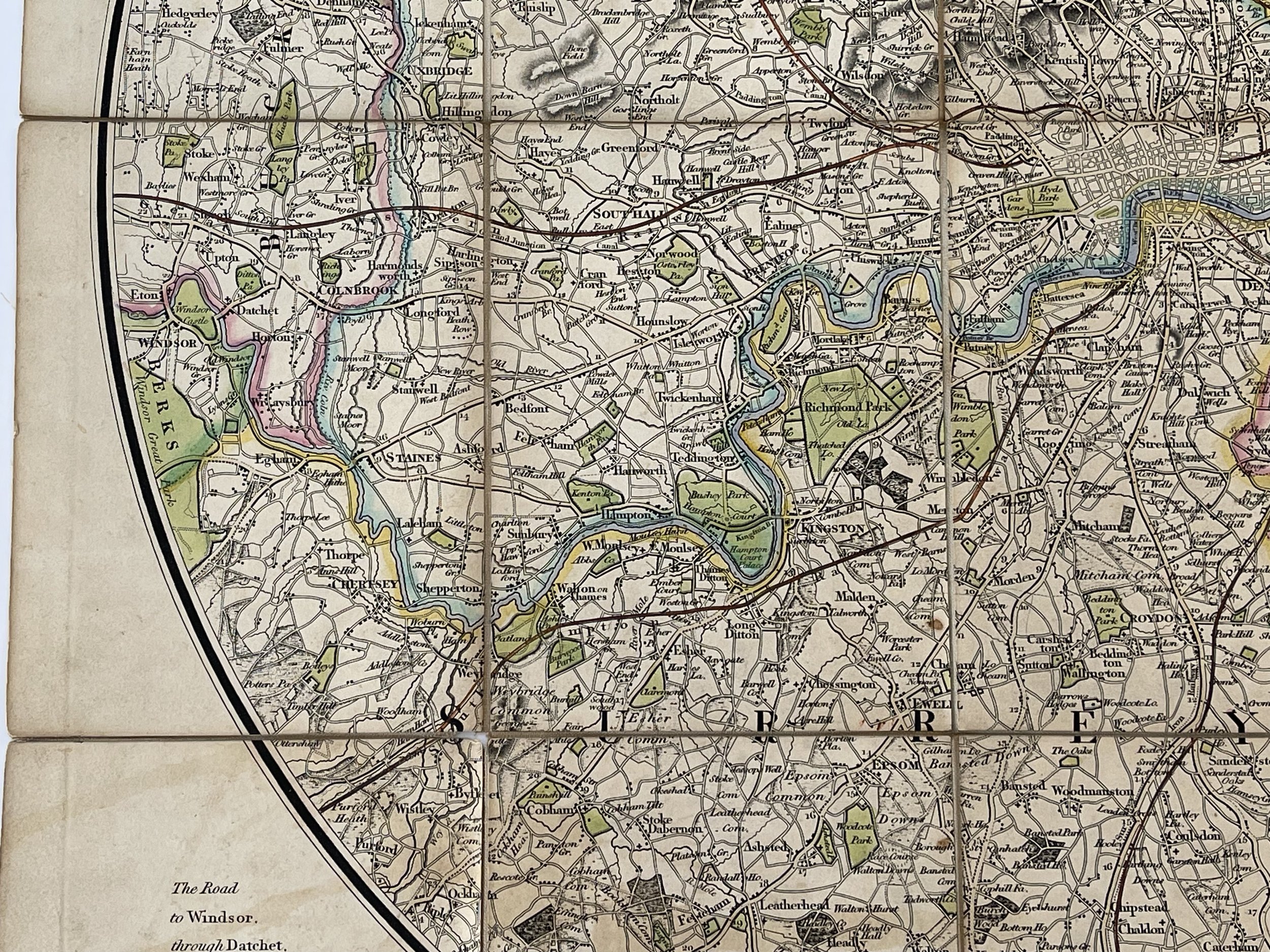 Image 18 of 24

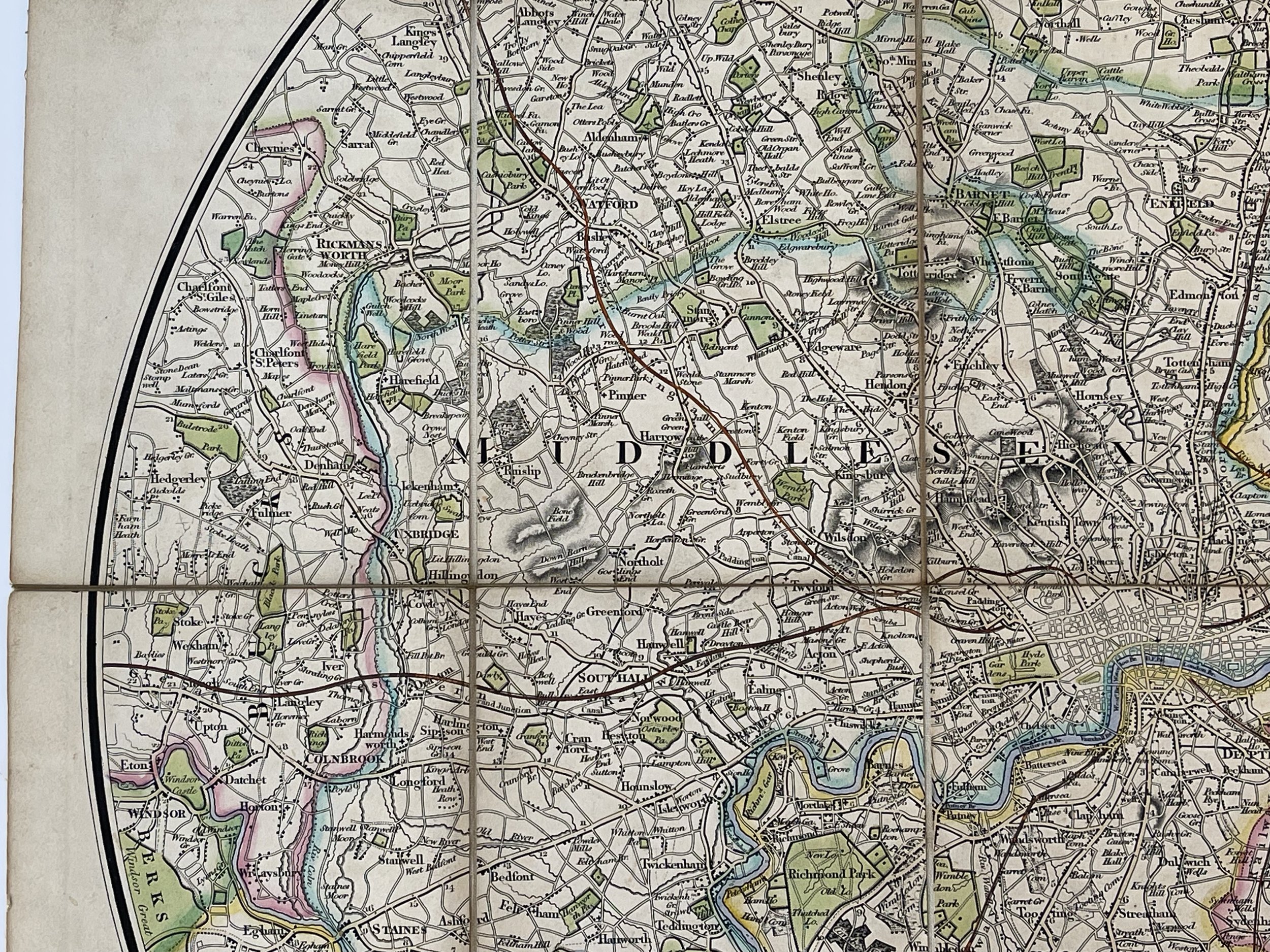 Image 19 of 24

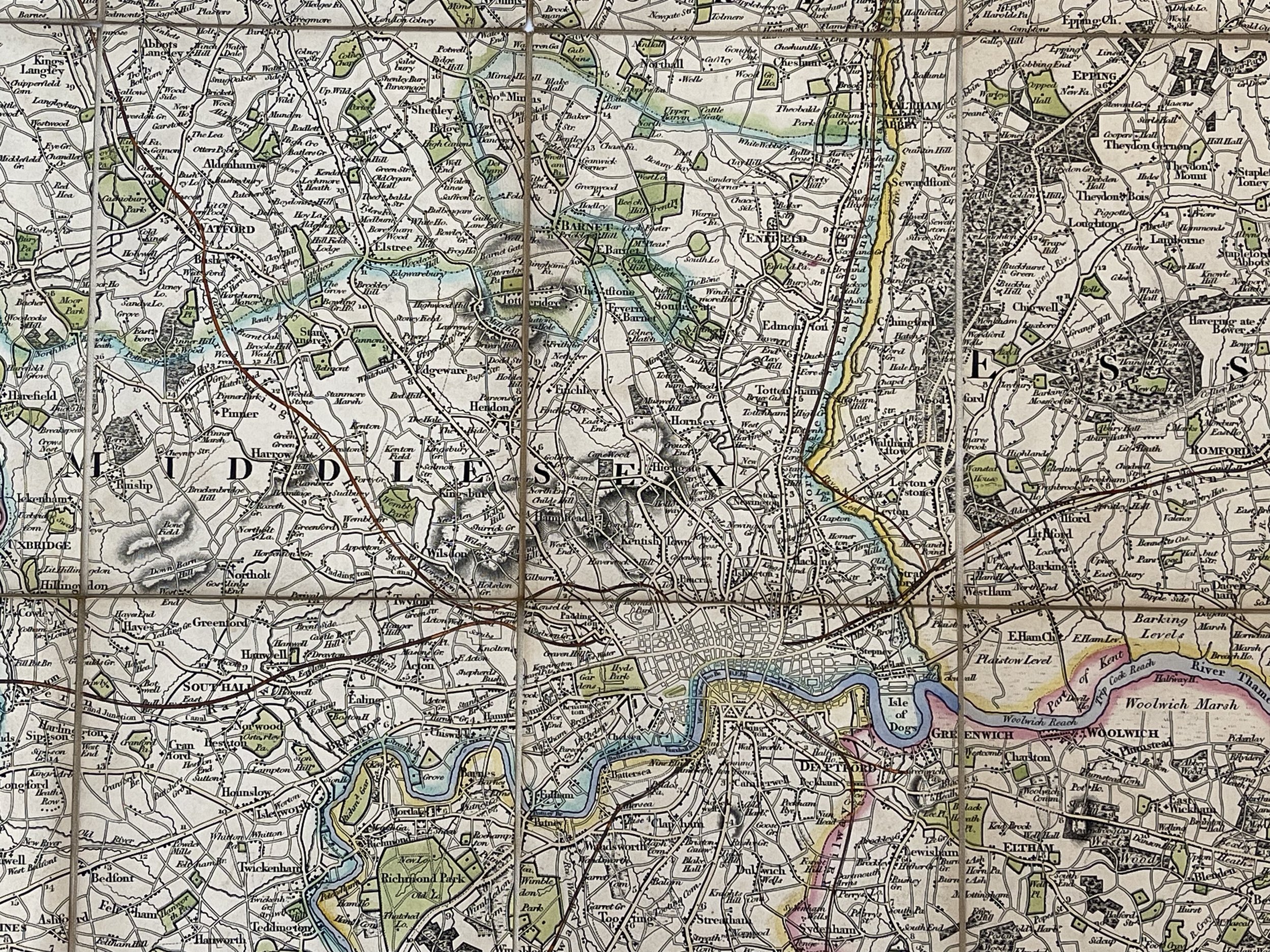 Image 20 of 24

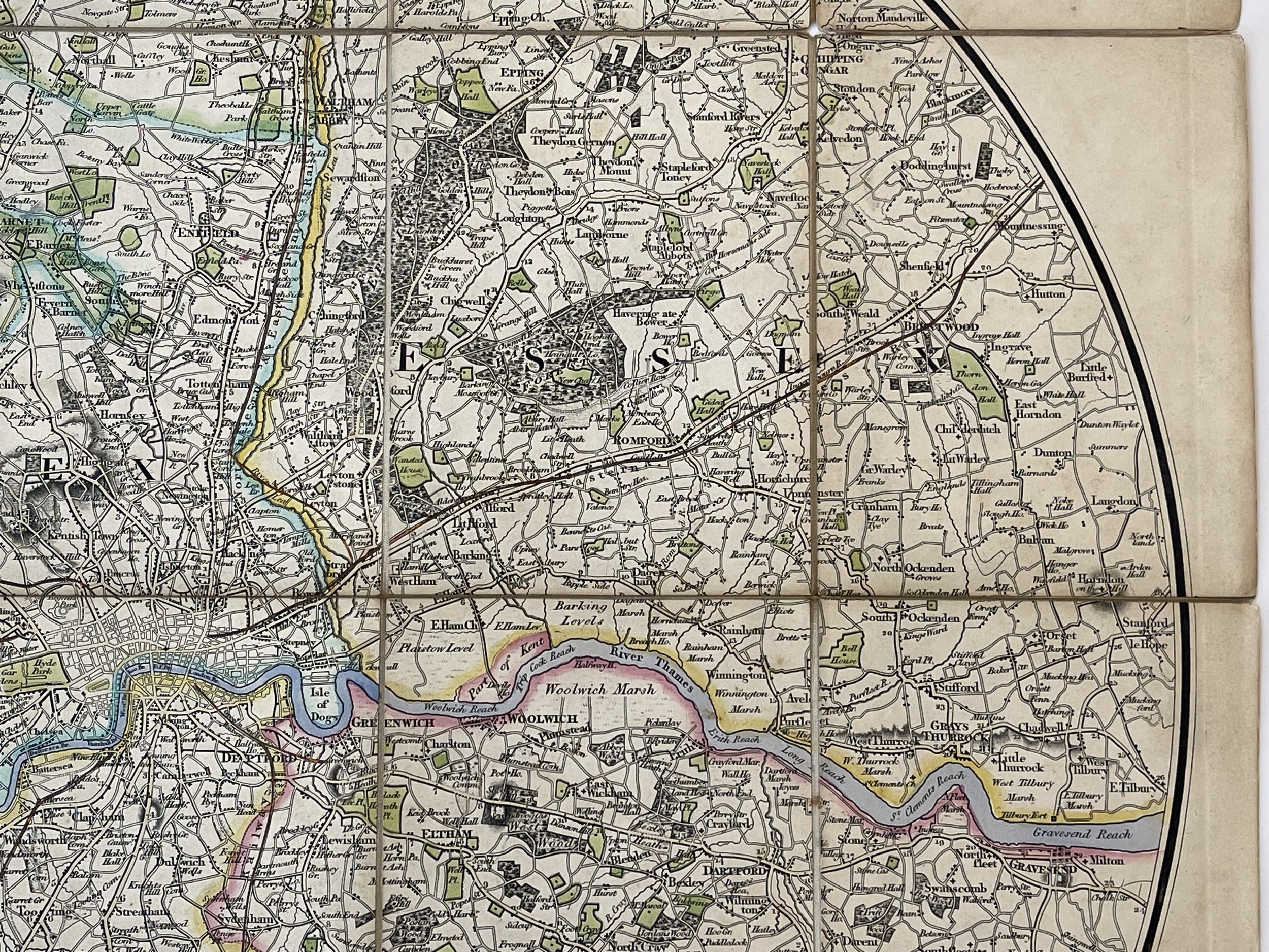 Image 21 of 24

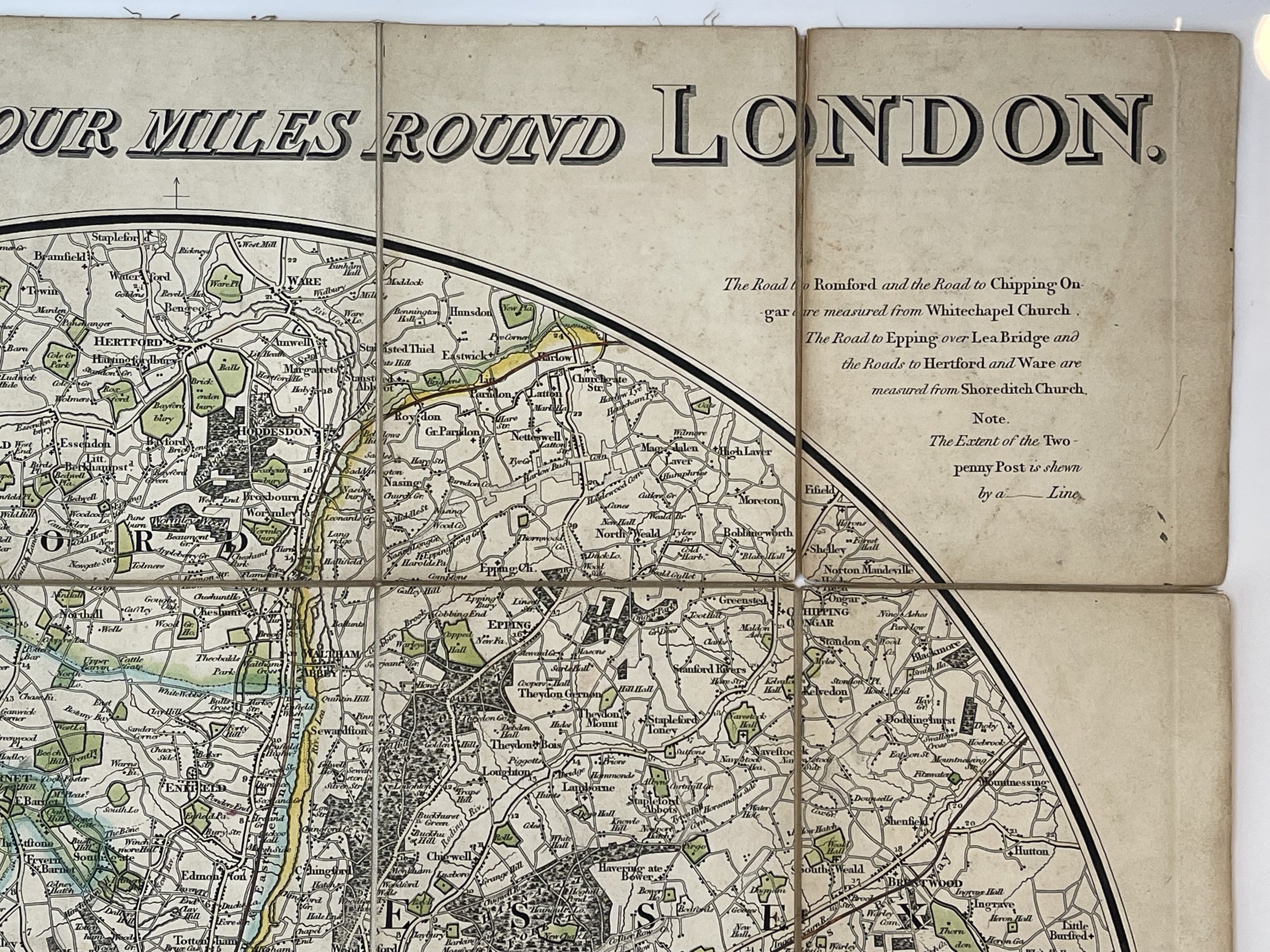 Image 22 of 24

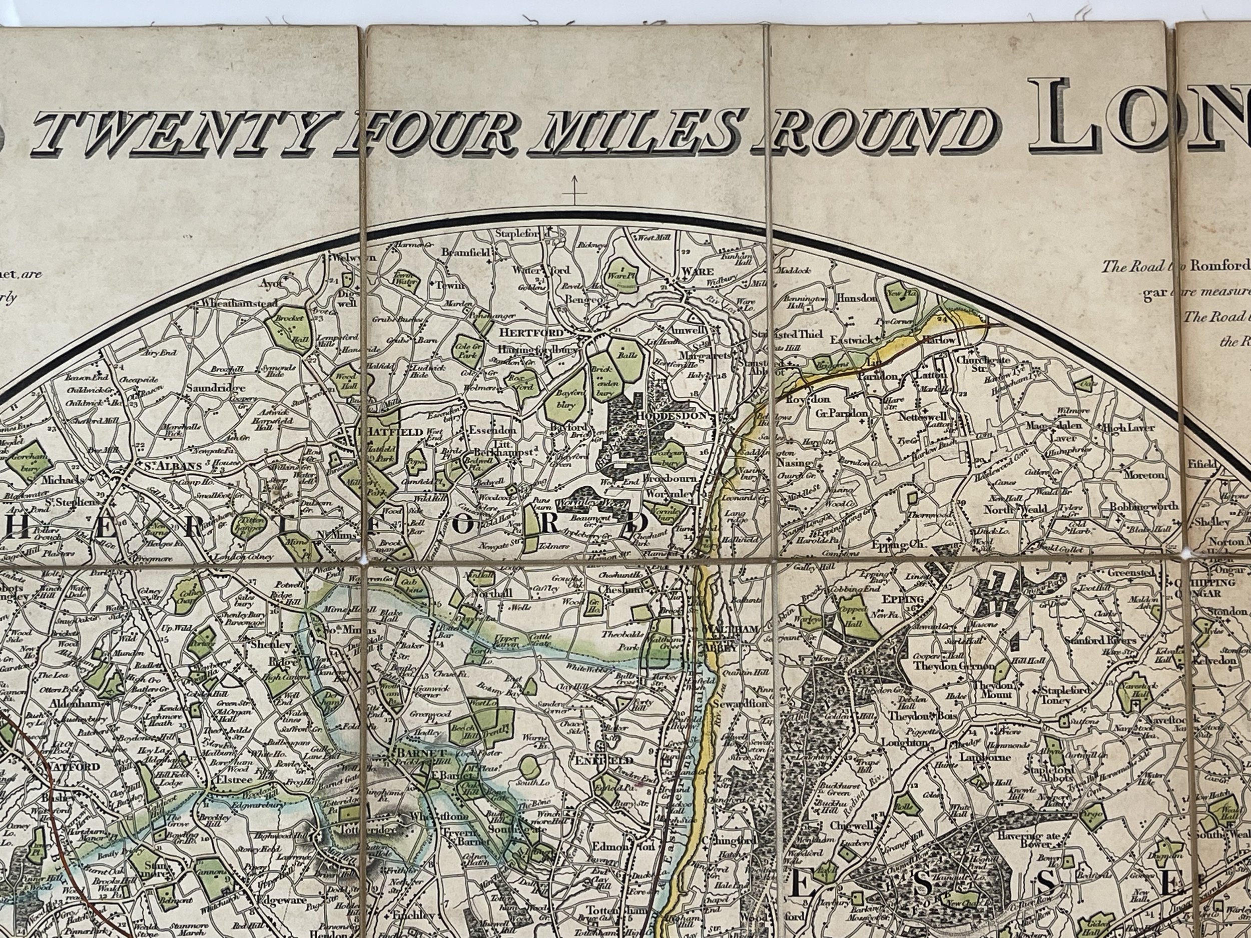 Image 23 of 24

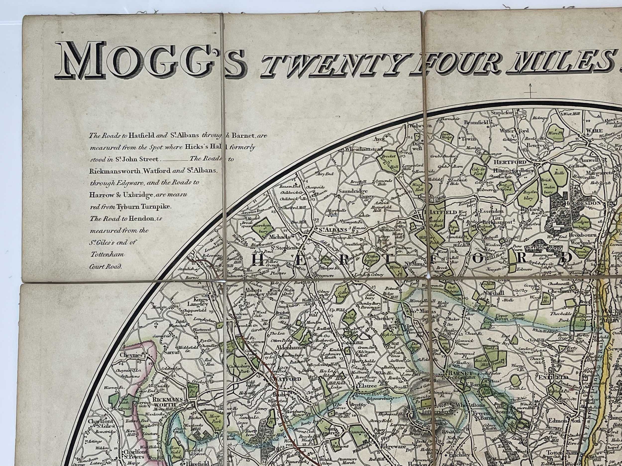 Image 24 of 24


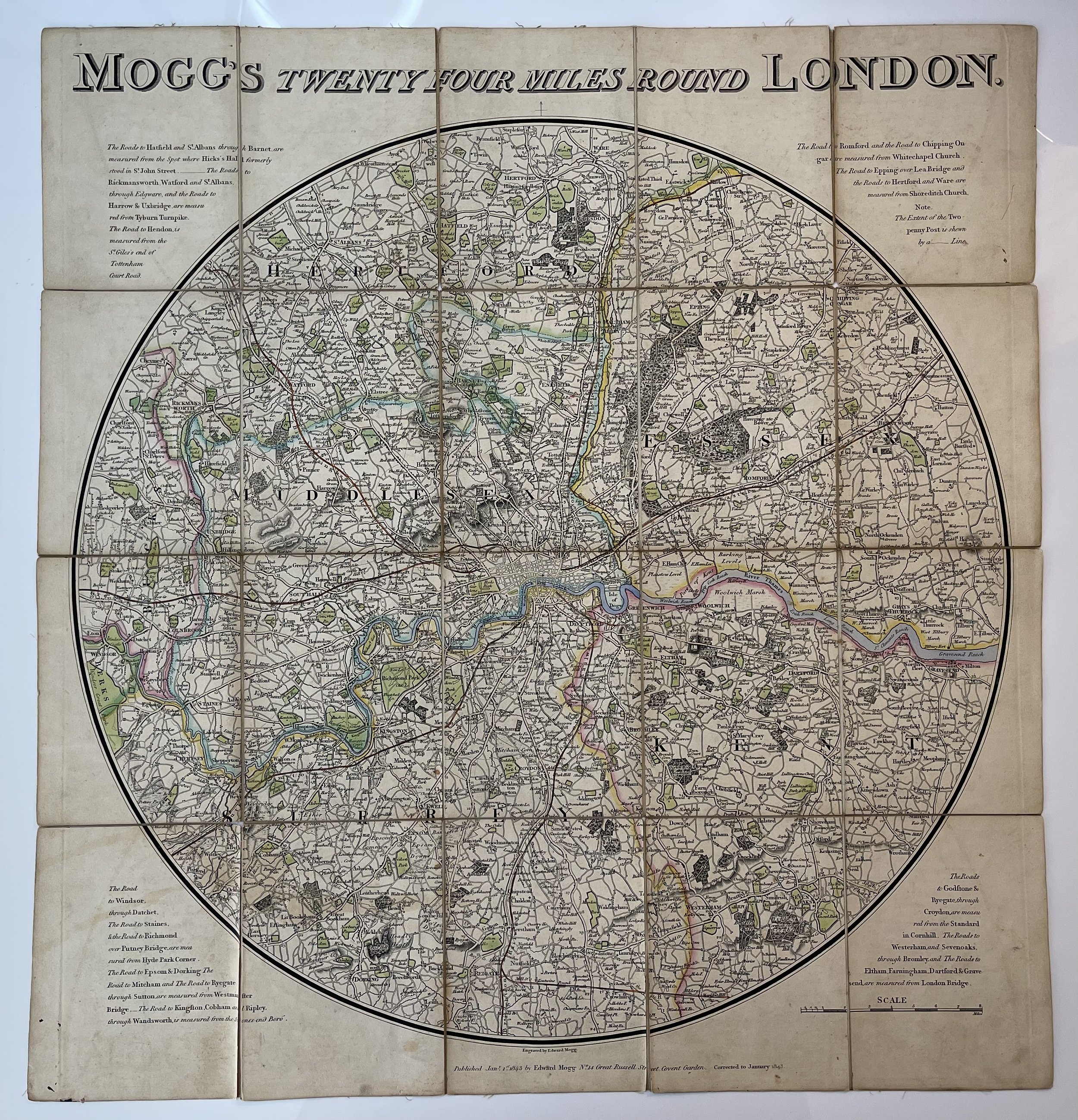
Twenty Four Miles Round London - Edward Mogg - 1843
Folding circular map of London and its environs (diameter 55 cm). The map showing the extents from Stapleford (Hertfordshire) down to Crowhurst and Stanford-le-Hope across to Windsor. Bright original colour in block and outline the counties and their borders coloured and shaded in part. Several roads to outlying towns shaded and their distances from the edges of London marked along route, panels of text to each corner with an explanation of the starting point for each route. Paper lightly browned overall. Some very light foxing in places, an attractive and highly collectible map of London and its environs.
Mogg, Edward (fl. 1803 - 1860)
Edward Mogg was a publisher in London in the 19th century. He issued maps and travel guides to London and other localities in England and Wales. Mogg's publications appear in works of fiction such as Robert Smith Surtees' Mr. Sponge's Sporting Tour and Shirley Brooks' the Naggletons.
Edward Mogg (1803-1860) was an esteemed mapmaker and etcher from England who operated in London during the early 19th century. In contrast to many of his contemporaries, Mogg meticulously engraved all his own maps by hand. His primary focus was on producing guides, railway maps, and other materials catered to tourists and travellers in London. Mogg had a particular interest in protecting tourists from dishonest taxi drivers, and thus, created the groundbreaking "Cab Fare Map and Guide." Moreover, he was responsible for publishing the 1822 edition of Paterson's Roads of England and Wales, as well as designing a captivating celestial sphere for schoolchildren.
Pricing and Grading commensurate.
Code : A1093
Cartographer : Cartographer / Engraver / Publisher: Edward Mogg
Date : Publication Place / Date - Circa 1843
Size : Sheet size: approx 62 x 59 Cm
Availability : Available
Type - Genuine - Antique
Grading A
Where Applicable - Folds as issued. Light box photo shows the folio leaf centre margin hinge ‘glue’, this is not visible otherwise.
Tracked postage, in casement. Please contact me for postal quotation outside of the UK.