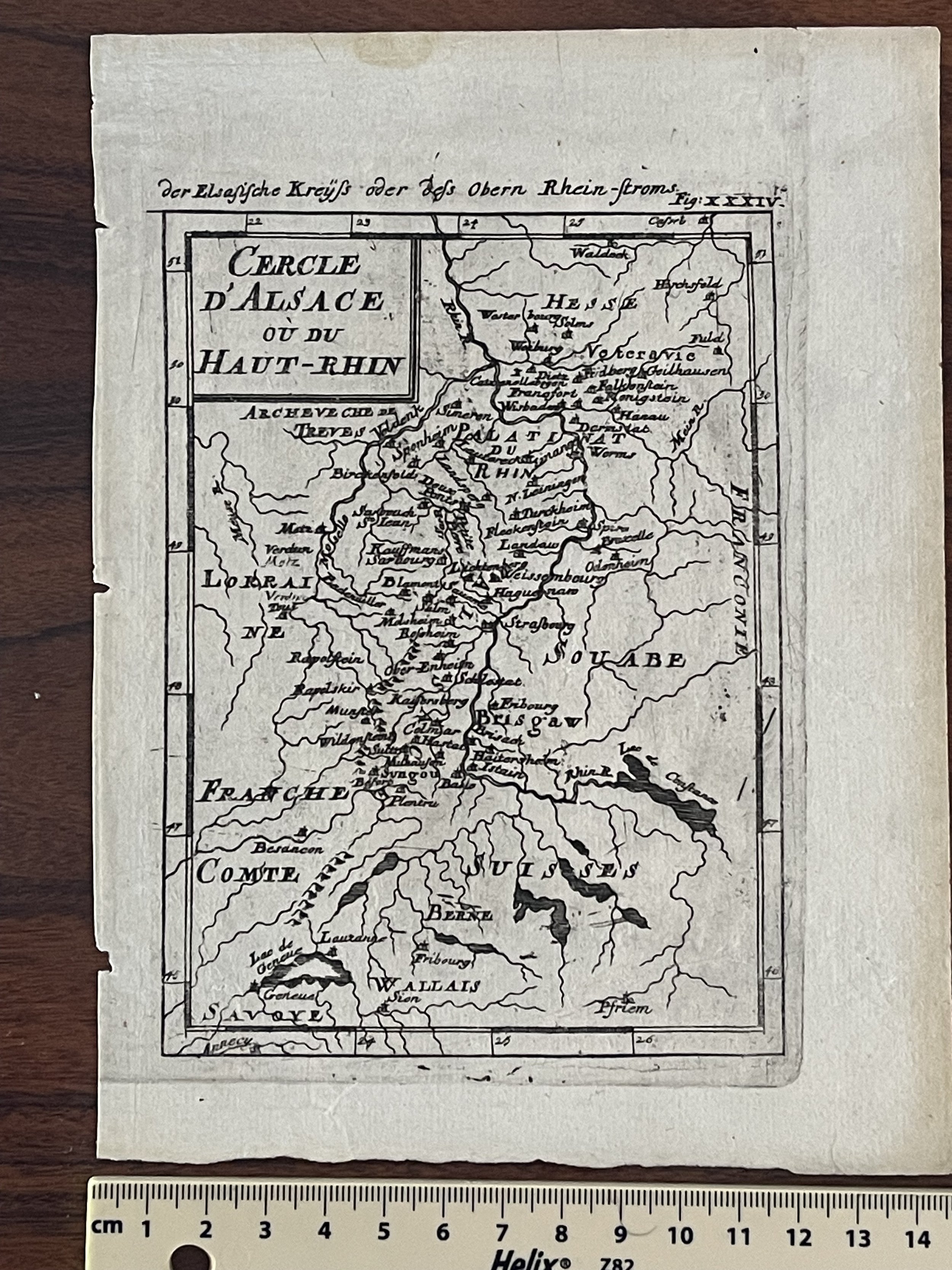
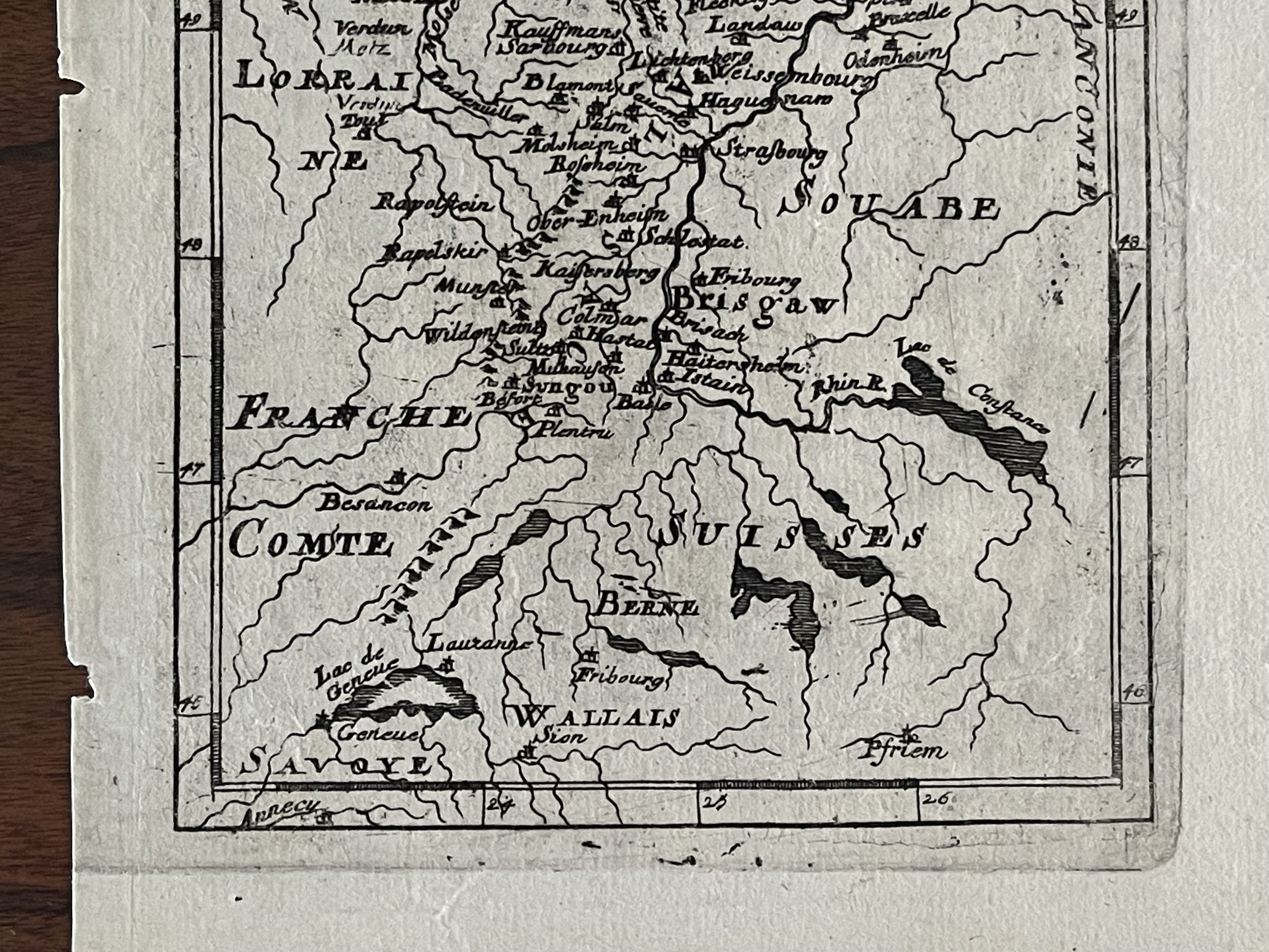
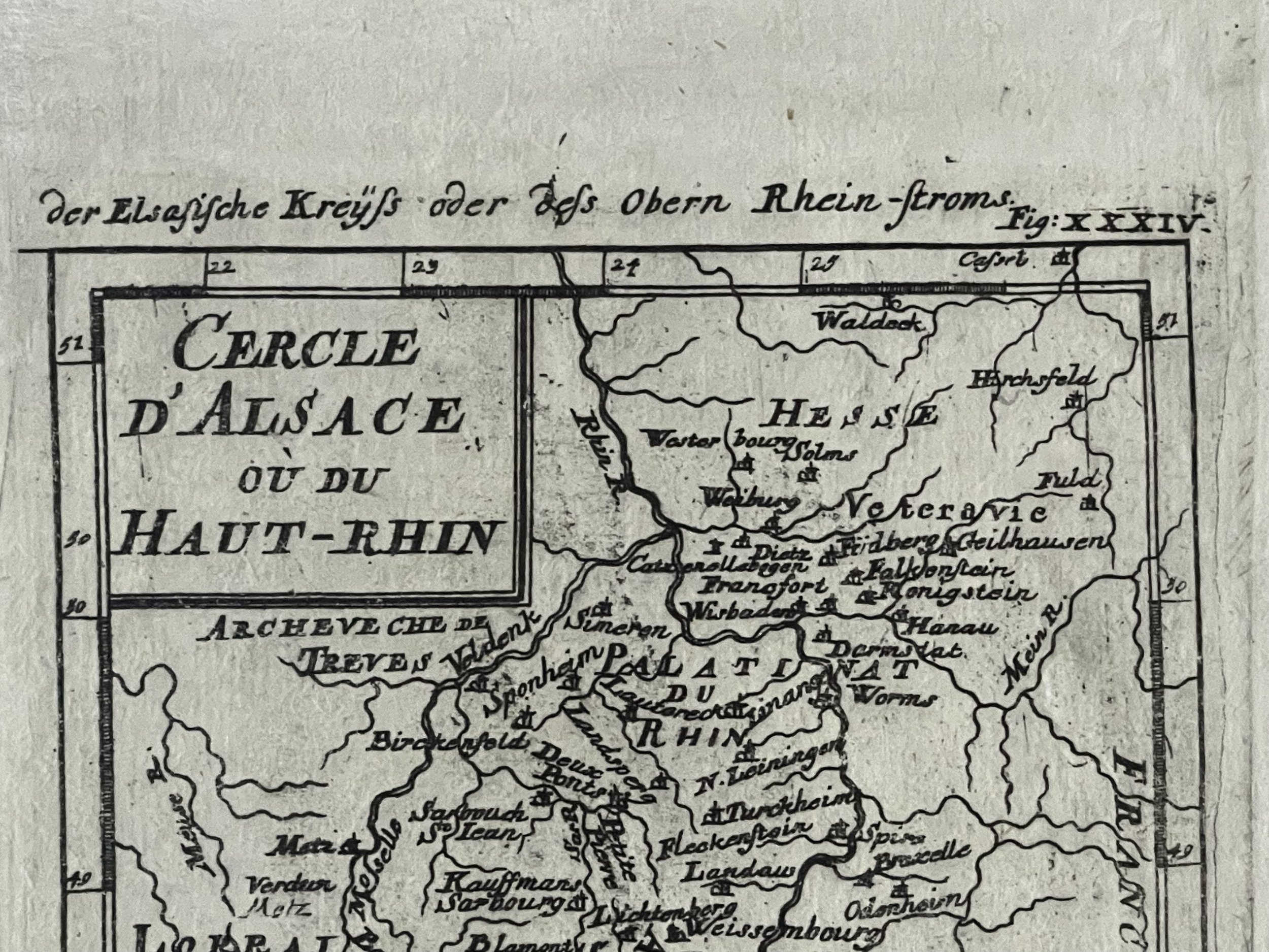
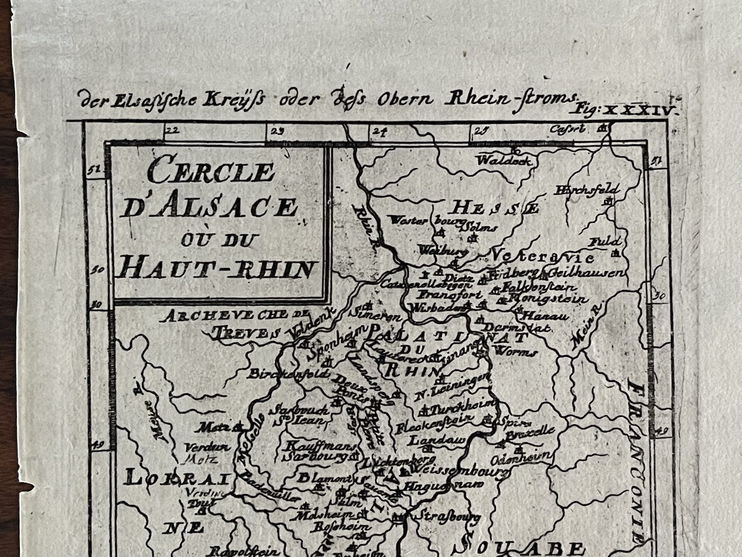
Upper Rhine France German Swiss - Alain Manesson Mallet - 1683

£60.00

Upper Rhine France German Swiss Old Map By Mallet 1683

Title: Cercle D, Alsace ou du Haut Rhin.

Haut- Rhine is a department of the Alsace region of France, named after the Rhine river. Its name means Upper Rhine. Haut- Rhine is the smaller and less populated of the two departments of Alsace, although is still densely populated compared to the rest of France.

Alain Manesson Mallet (1630–1706) was a French cartographer and engineer. he started his career as a soldier in the army of louis xiv, became a sergeant-major in the artillery and an inspector of fortifications. He also served under the king of Portugal, before returning to France, and his appointment to the court of louis xiv. his military engineering and mathematical background led to his position teaching mathematics at court. His major publications were description de l'univers (1683) in 5 volumes, and les travaux de mars ou l'art de la guerre (1684) in 3 volumes.

His description de l'universe contains a wide variety of information, including star maps, maps of the ancient and modern world, and a synopsis of the customs, religion and government of the many nations included in his text. it has been suggested that his background as a teacher led to his being concerned with entertaining his readers. this concern manifested itself in the charming harbour scenes and rural landscapes that he included beneath his description of astronomical concepts and diagrams. mallet himself drew most of the figures that were engraved for this book

Add To Cart

Upper Rhine France German Swiss Old Map By Mallet 1683

Title: Cercle D, Alsace ou du Haut Rhin.

Haut- Rhine is a department of the Alsace region of France, named after the Rhine river. Its name means Upper Rhine. Haut- Rhine is the smaller and less populated of the two departments of Alsace, although is still densely populated compared to the rest of France.

Alain Manesson Mallet (1630–1706) was a French cartographer and engineer. he started his career as a soldier in the army of louis xiv, became a sergeant-major in the artillery and an inspector of fortifications. He also served under the king of Portugal, before returning to France, and his appointment to the court of louis xiv. his military engineering and mathematical background led to his position teaching mathematics at court. His major publications were description de l'univers (1683) in 5 volumes, and les travaux de mars ou l'art de la guerre (1684) in 3 volumes.

His description de l'universe contains a wide variety of information, including star maps, maps of the ancient and modern world, and a synopsis of the customs, religion and government of the many nations included in his text. it has been suggested that his background as a teacher led to his being concerned with entertaining his readers. this concern manifested itself in the charming harbour scenes and rural landscapes that he included beneath his description of astronomical concepts and diagrams. mallet himself drew most of the figures that were engraved for this book

Code : A173

Cartographer : Cartographer / Engraver / Publisher: Allain Manesson Mallet

Date : Publication Place / Date - Amsterdam 1683

Size : Sheet size: Image Size:  20 cm x 14.5 cm

Availability : Available

Type - Genuine - Antique

Grading A

Where Applicable - Folds as issued. Light box photo shows the folio leaf centre margin hinge ‘glue’, this is not visible otherwise.

Tracked postage, in casement. Please contact me for postal quotation outside of the UK.