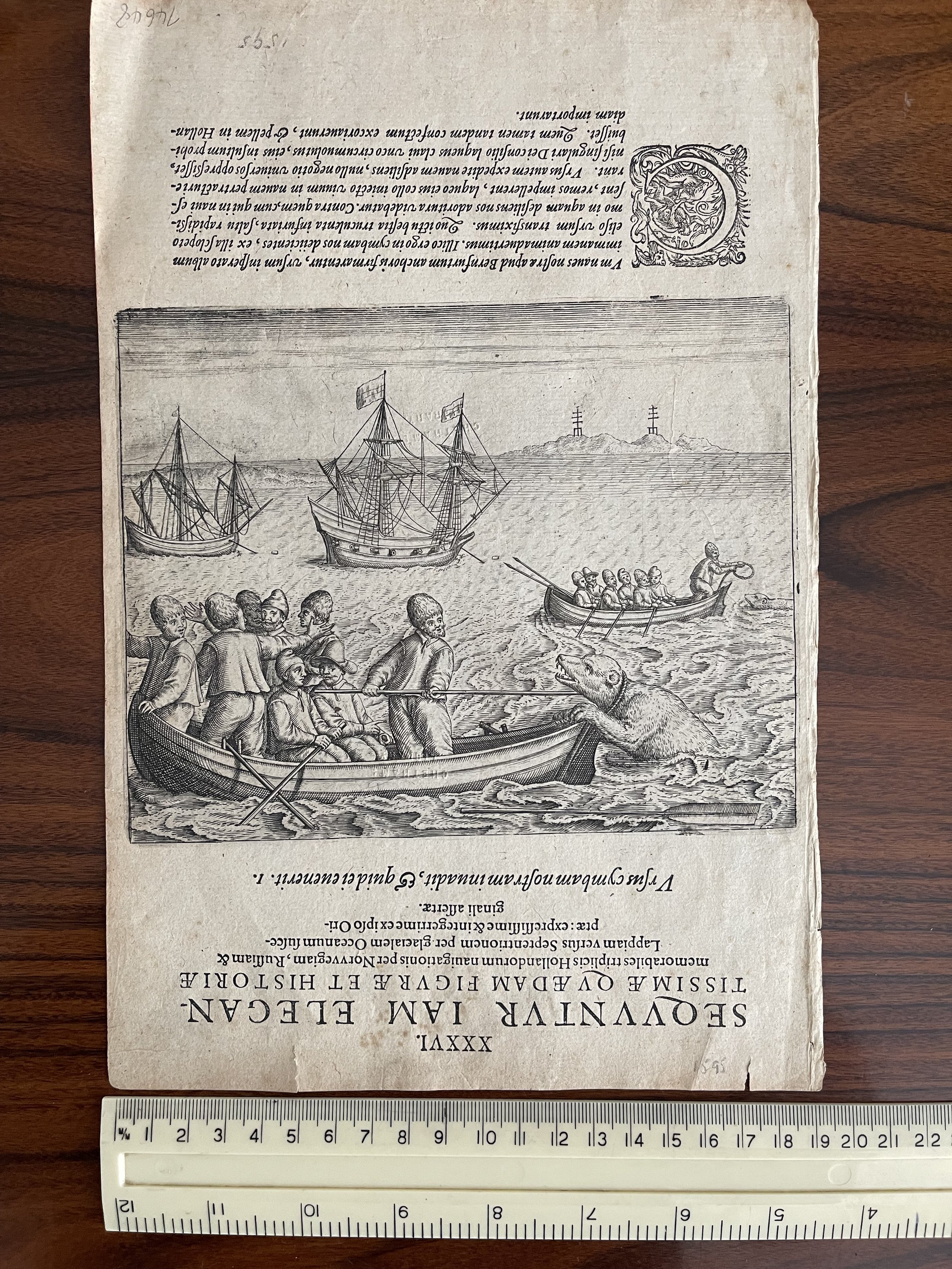
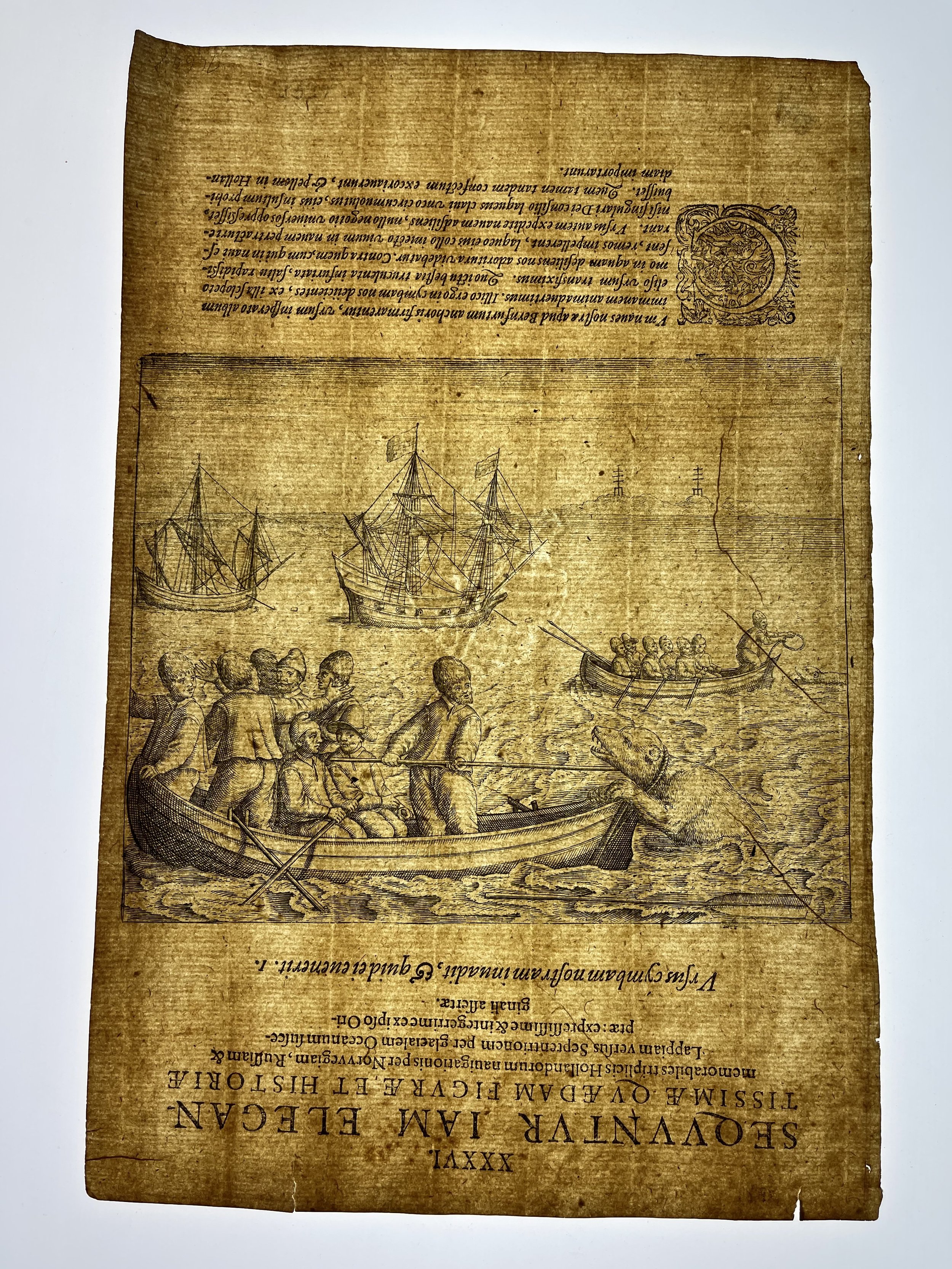
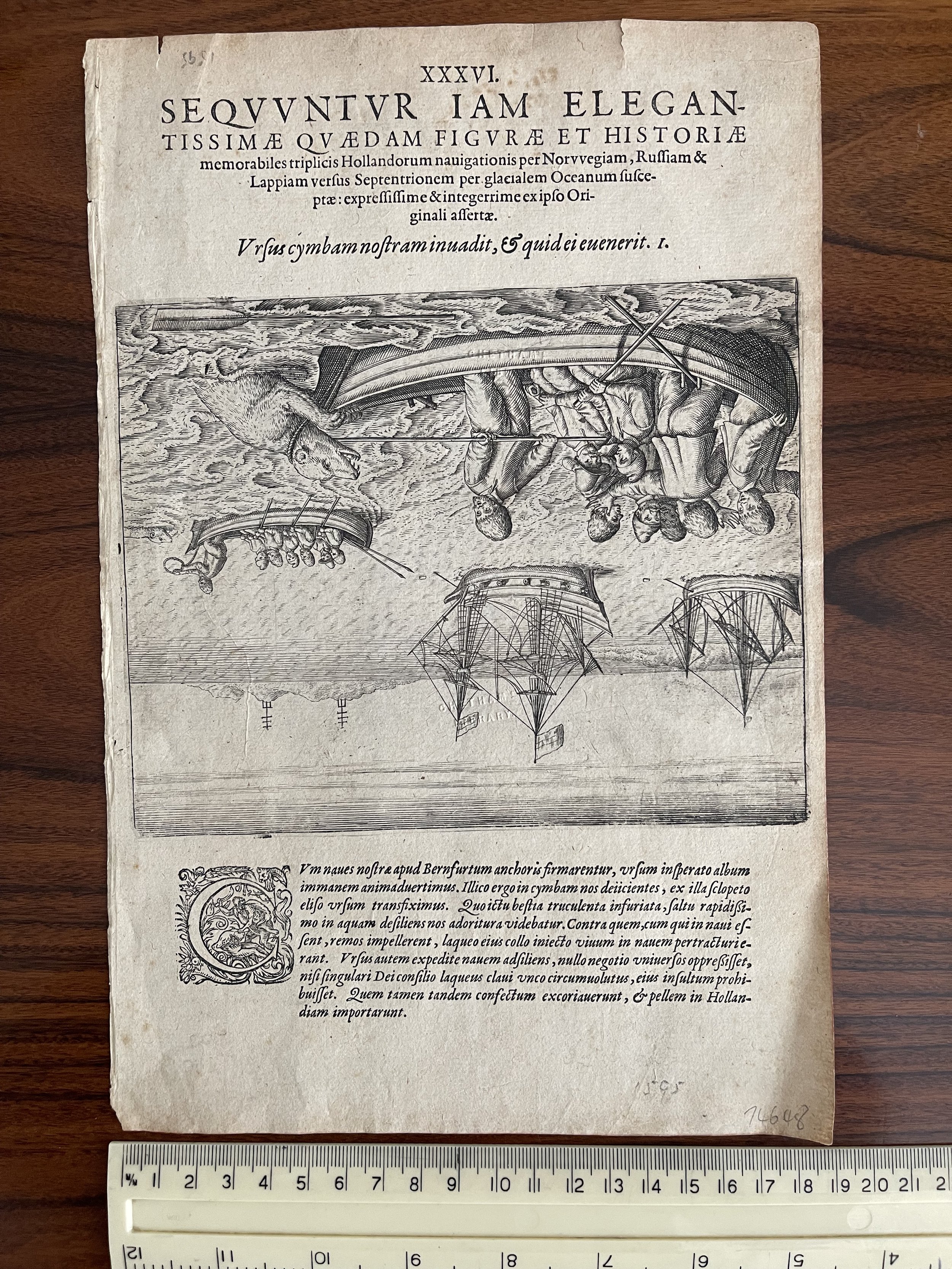
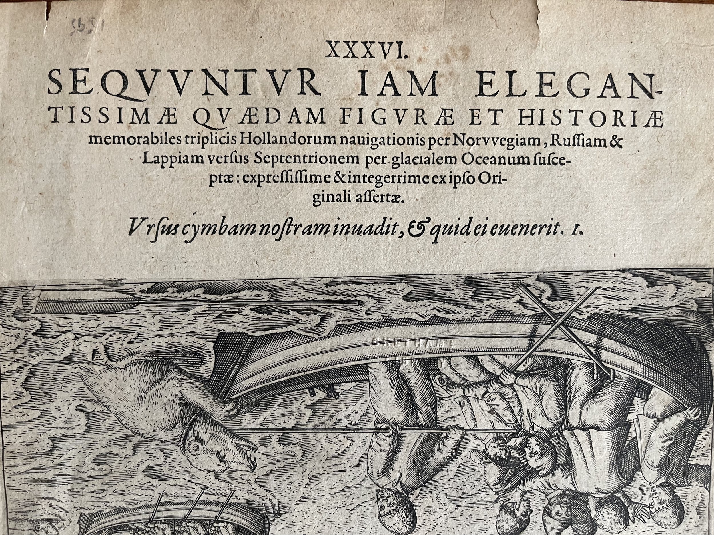
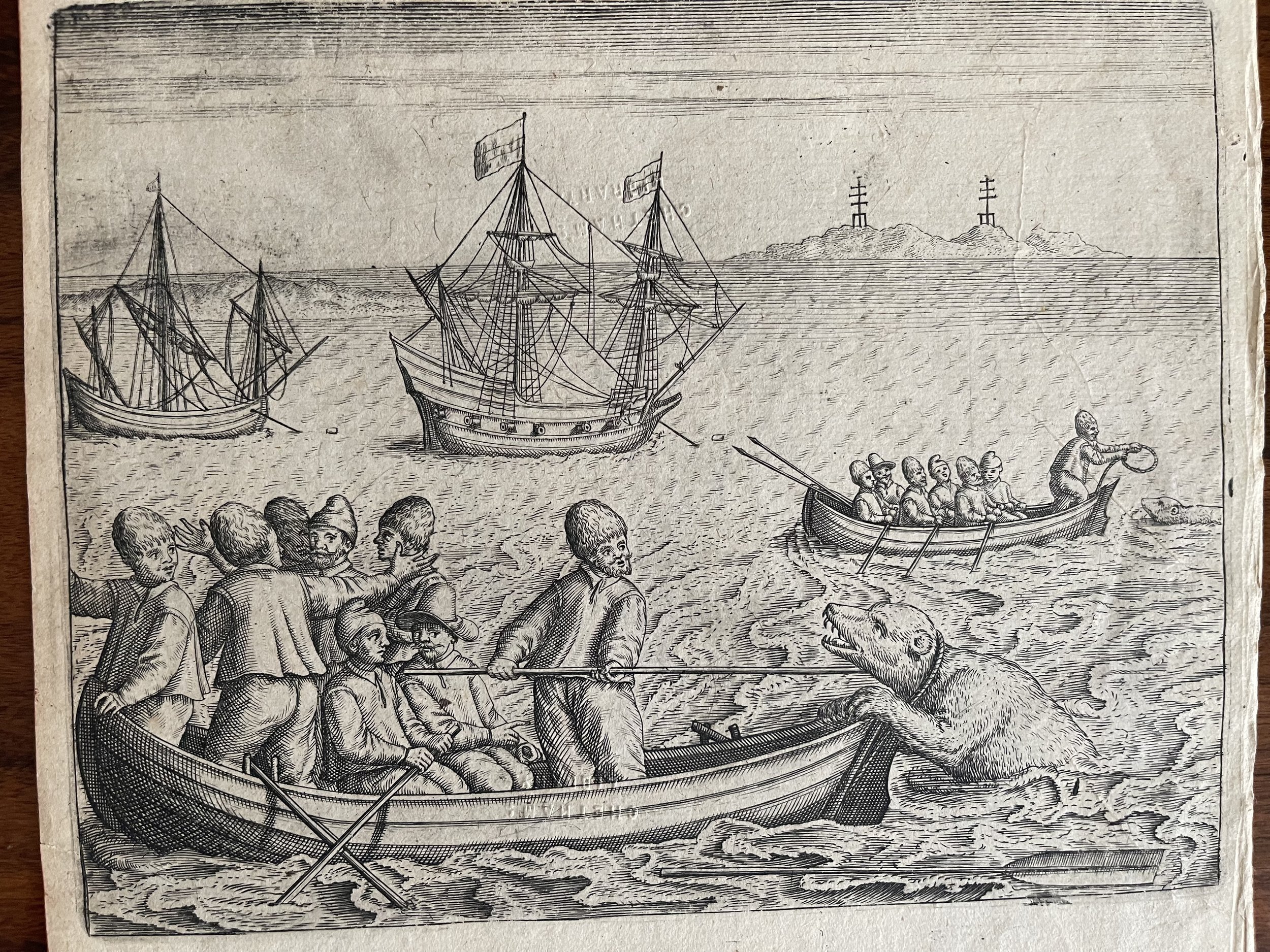
Willem Barentsz' last voyage. Explorers in a boat attacking a bear in Bear Creek - Johann Theodor De Bry - 9 July 1594
Unusually the picture is inverted from the text? Printing error perhaps?.
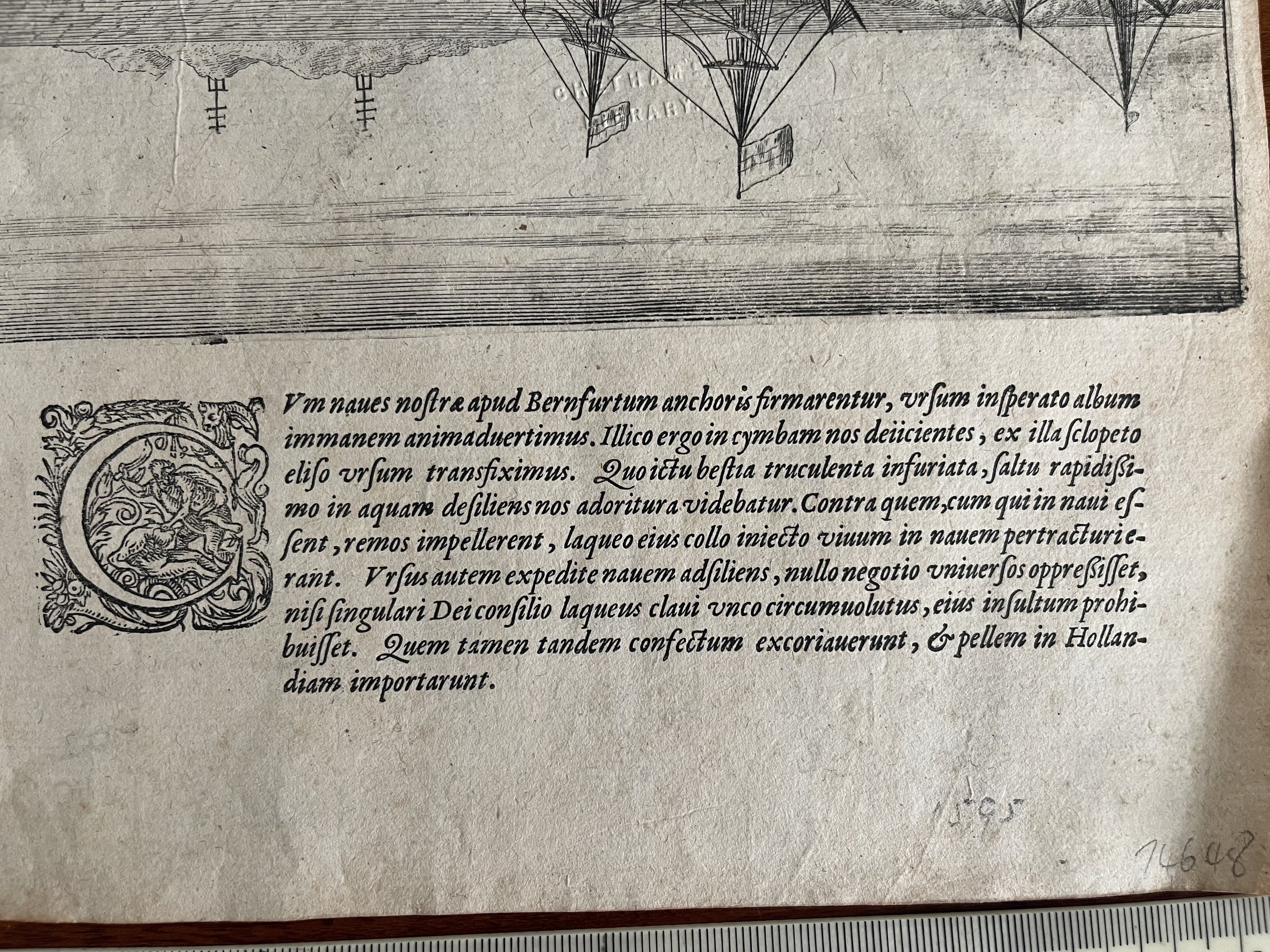
While exploring waters north of the Norwegian Sea, an overly bold polar bear attempted to board one of the crew’s boats. Initially the sailors fired muskets at the bear to ward it off. Then, impressed with its color, strength, and resilience; the sailors made the horrible decision to capture the wounded animal, bring it aboard on a leash, and take it back to Holland. Once brought aboard, the bear immediately rampaged against the sailors. They killed the bear, opting to bring back its pelt home – instead of the whole angry bear.
Willem Barentsz, Spitsbergen, and the Northeast PassageThe Age of Exploration was a period of extensive European overseas discovery between the 15th and 17th centuries, and many of its expeditions are guidebooks in determination. Among the explorers who exemplify this determination most is Willem Barentsz.A Dutch cartographer and navigator, Barentsz lived from about 1550 to 1597 in the region that eventually became the Netherlands.He was born on the island of Terschelling, and his early map-making pursuits first took him south, where he completed a map of the Mediterranean. This map he co-published with the help of fellow Dutch-Flemish cartographer Petrus Plancius, whom we’ve written briefly about in our article on historic Antarctic maps.. on this day in 1594, on their first expedition to find a northeast passage, dutch navigator willem barentsz and his crew came across their first polar bear. unfortunately for the crew, this bear encounter was the first of their many polar bear problems.
Unusually the picture is inverted from the text? Printing error perhaps?.
While exploring waters north of the Norwegian Sea, an overly bold polar bear attempted to board one of the crew’s boats. Initially the sailors fired muskets at the bear to ward it off. Then, impressed with its color, strength, and resilience; the sailors made the horrible decision to capture the wounded animal, bring it aboard on a leash, and take it back to Holland. Once brought aboard, the bear immediately rampaged against the sailors. They killed the bear, opting to bring back its pelt home – instead of the whole angry bear.
Willem Barentsz, Spitsbergen, and the Northeast PassageThe Age of Exploration was a period of extensive European overseas discovery between the 15th and 17th centuries, and many of its expeditions are guidebooks in determination. Among the explorers who exemplify this determination most is Willem Barentsz.A Dutch cartographer and navigator, Barentsz lived from about 1550 to 1597 in the region that eventually became the Netherlands.He was born on the island of Terschelling, and his early map-making pursuits first took him south, where he completed a map of the Mediterranean. This map he co-published with the help of fellow Dutch-Flemish cartographer Petrus Plancius, whom we’ve written briefly about in our article on historic Antarctic maps.. on this day in 1594, on their first expedition to find a northeast passage, dutch navigator willem barentsz and his crew came across their first polar bear. unfortunately for the crew, this bear encounter was the first of their many polar bear problems.
Code : A12
Cartographer : Cartographer / Engraver / Publisher: Johann Theodor De Bry
Date : Publication Place / Date - Unknown 17th Century
Size : Sheet size: Image Size: 26 x 19.5 cm
Availability : Available
Type - Genuine - Antique
Grading A-
Where Applicable - Folds as issued. Light box photo shows the folio leaf centre margin hinge ‘glue’, this is not visible otherwise.
Tracked postage, in casement. Please contact me for postal quotation outside of the UK.